Elevation of Au Sable Township, MI, USA
Location: United States > Michigan > Roscommon County >
Longitude: -84.417266
Latitude: 44.4704686
Elevation: 365m / 1198feet
Barometric Pressure: 97KPa
Elevation Map:
Satellite Map:
Related Photos:

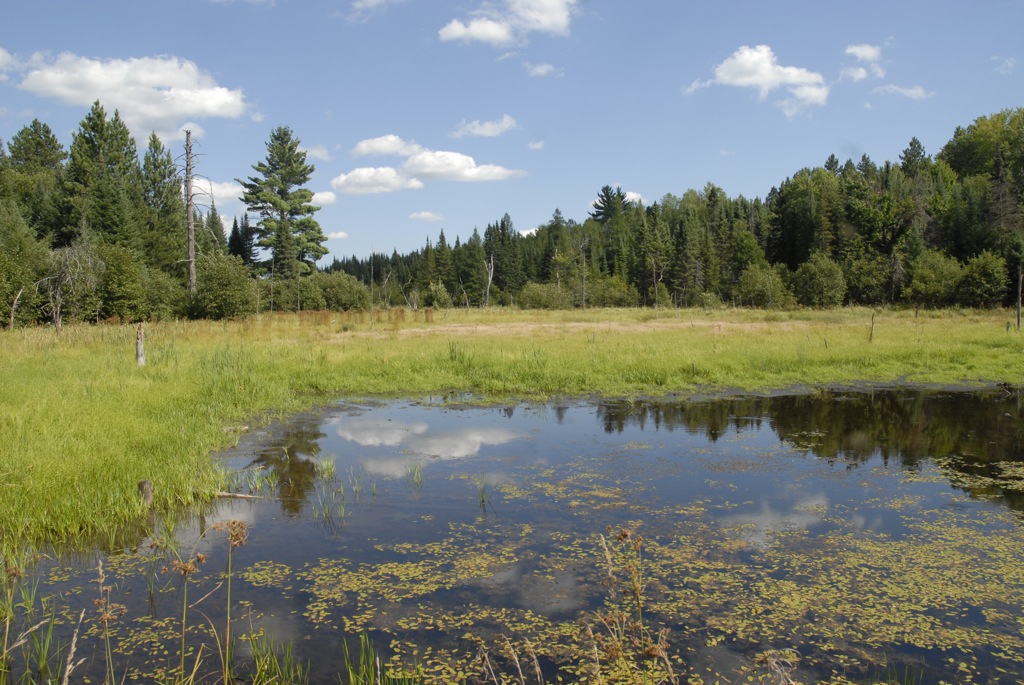
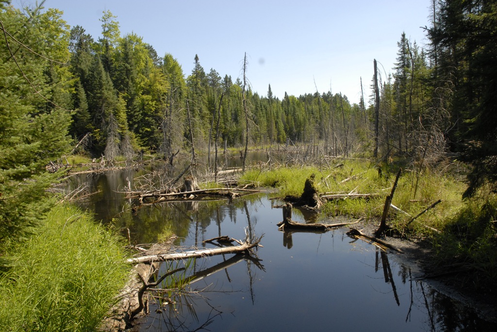
South Branch Late Summer

South Branch Late Summer 2
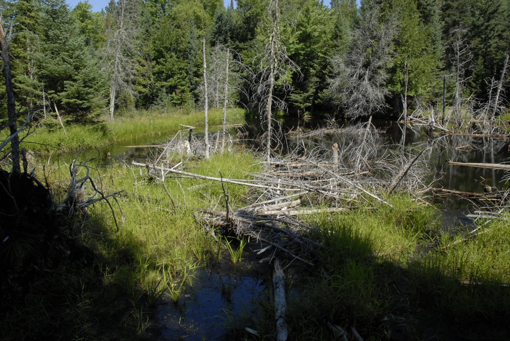
small dam search a - 55

small dam search b - 31

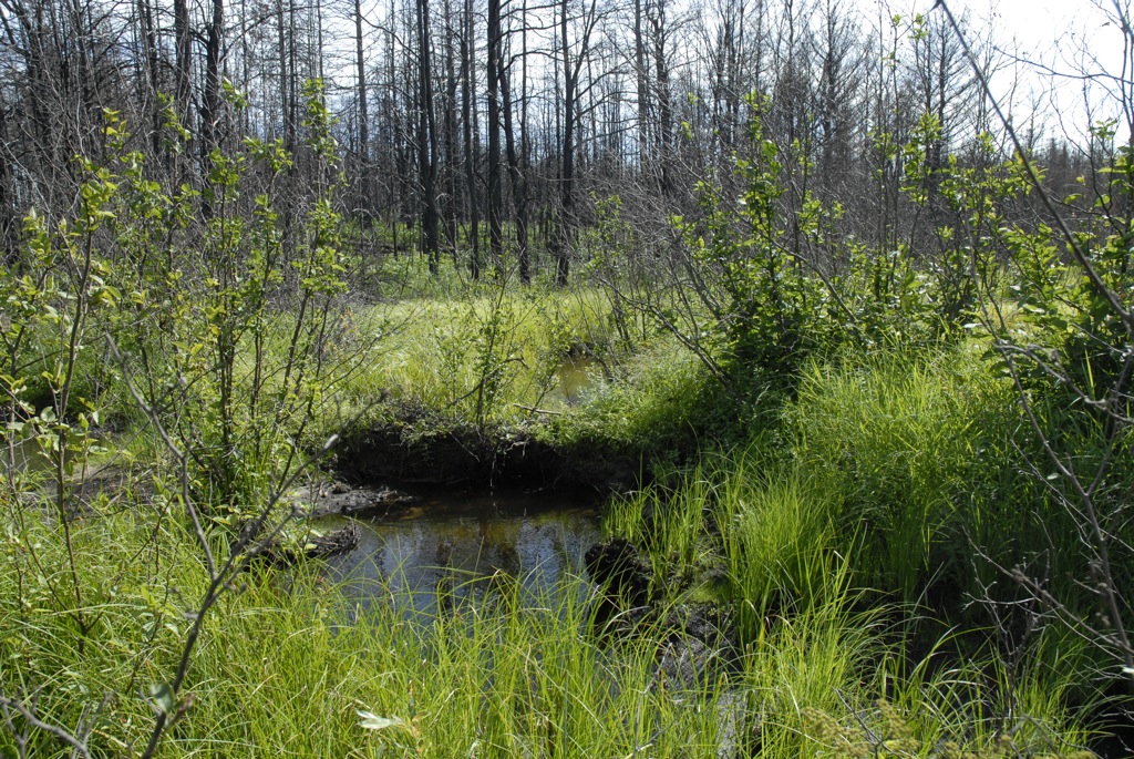
small dam search a - 39
small dam search b - 46

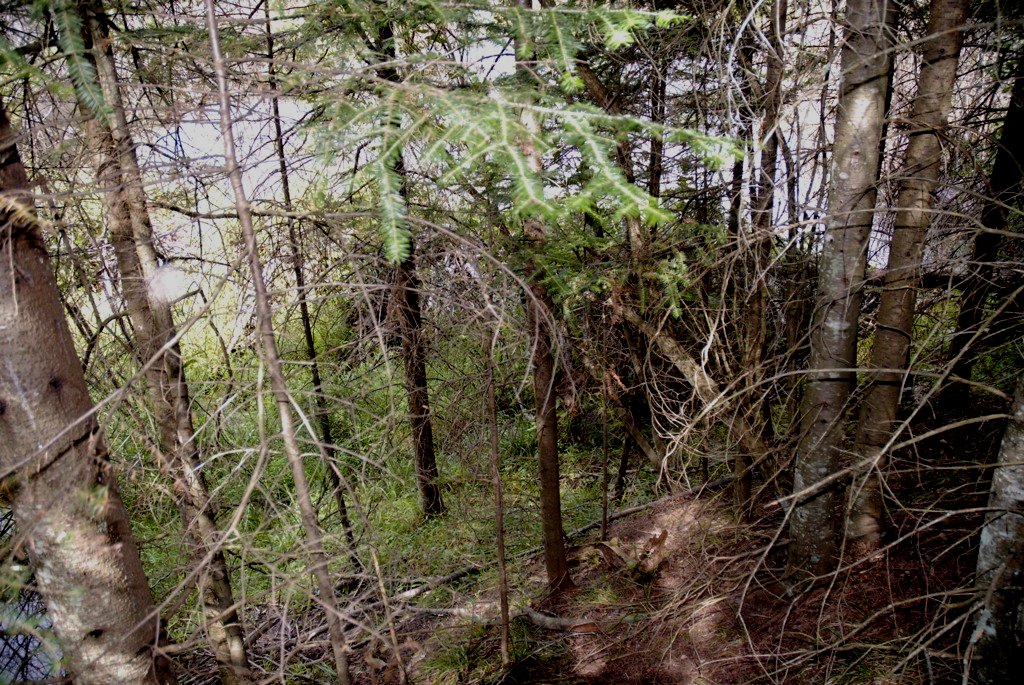
Red Pine forest
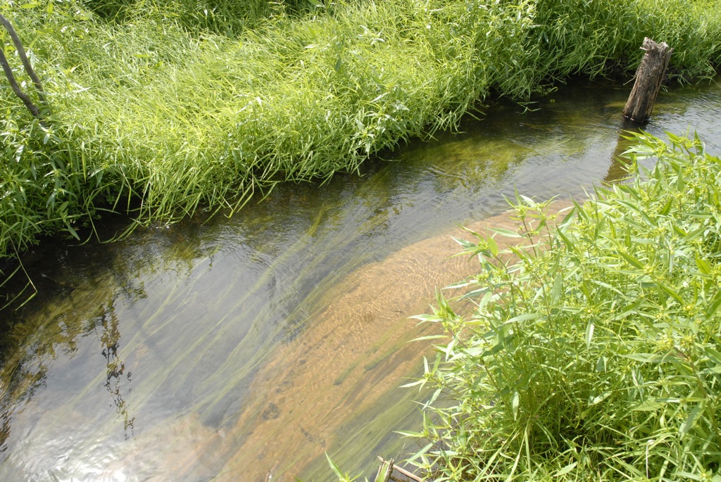
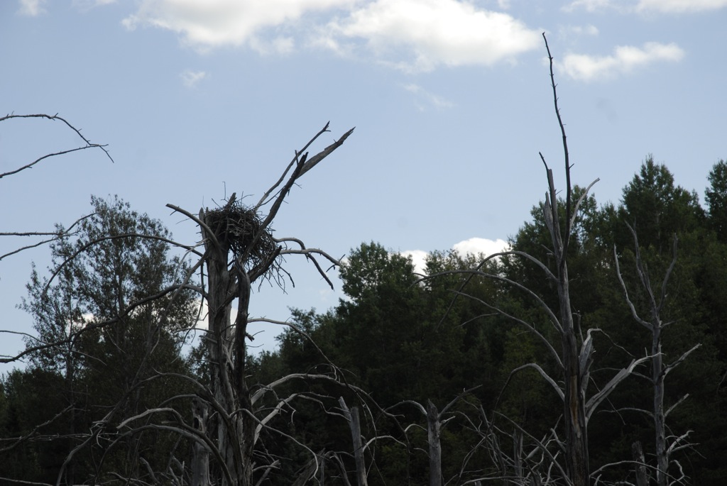
small dam search b - 13
small dam search a - 14
small dam search b - 15
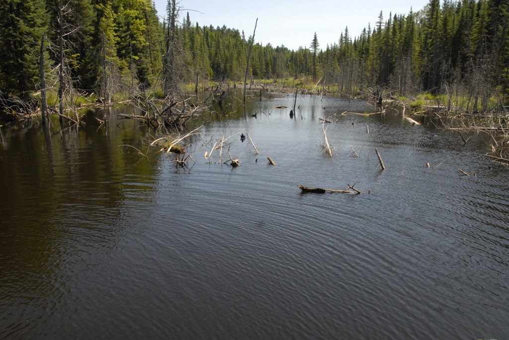
small dam search b - 41

Downey's

small dam search b - 12

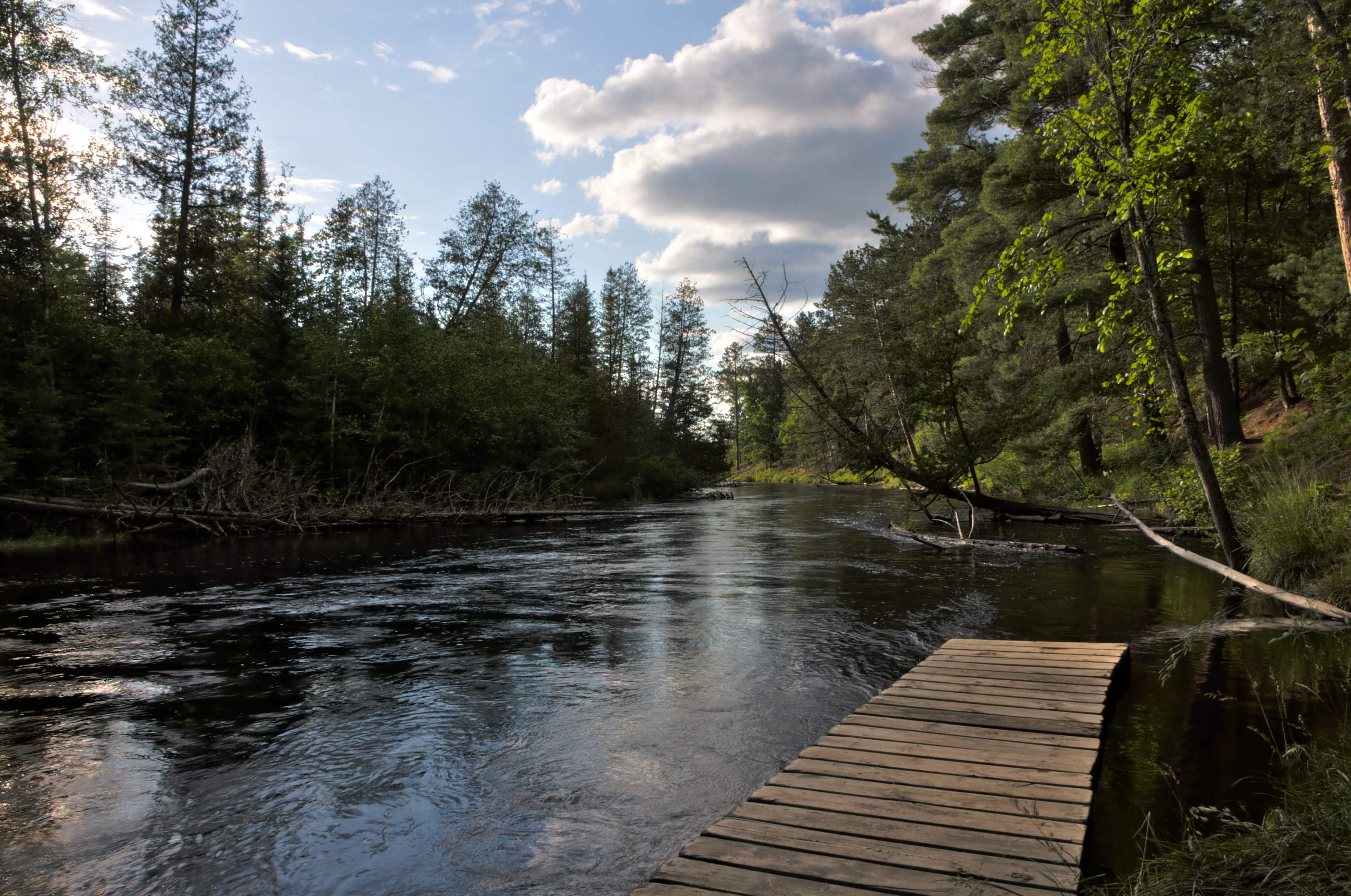
Evening Walk
small dam search b - 17

Baldwin's

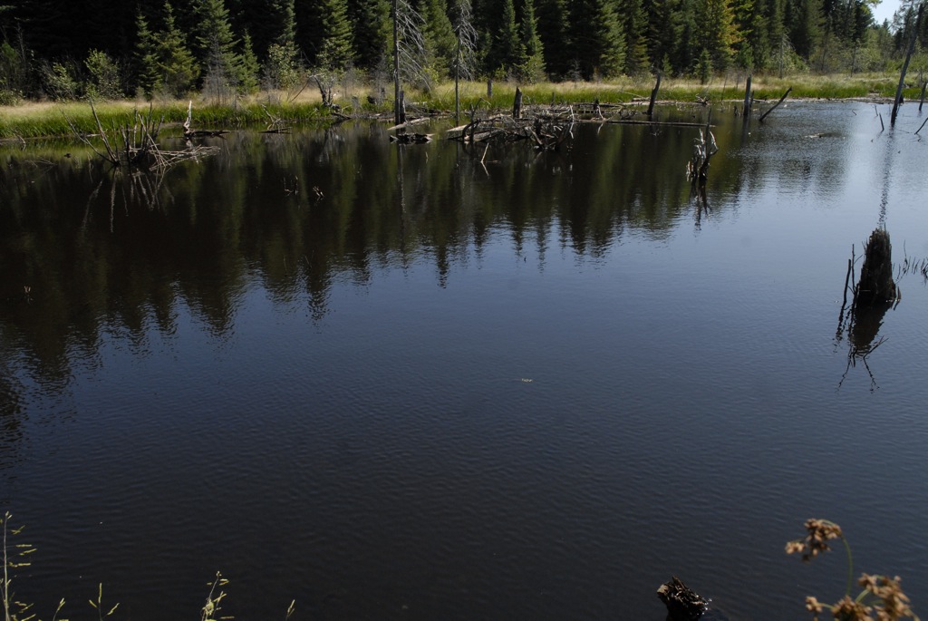
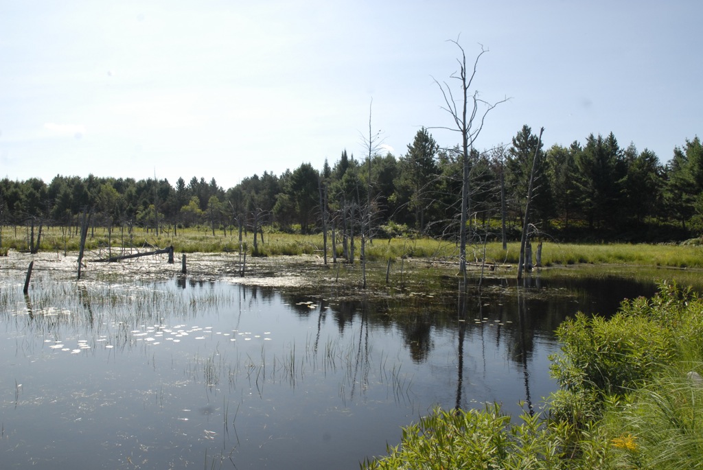
High Water Near Dogtown
IMG_3653 (1 of 1) (1)
small dam search b - 16
small dam search b - 05
small dam search a - 49
Topographic Map of Au Sable Township, MI, USA
Find elevation by address:

Places in Au Sable Township, MI, USA:
Places near Au Sable Township, MI, USA:
N St Helen Rd, St Helen, MI, USA
Maple Valley Road
Saint Helen
121 Ausable River Trail
121 Ausable River Trail
121 Ausable River Trail
121 Ausable River Trail
121 Ausable River Trail
South Branch Township
Higgins Township
Richfield Township
123 Au Sable River Trail
Roscommon
3190 Skeeter St
North Cut Road
Cross Country Ski Headquarters
Fiddlewood Dr, Grayling, MI, USA
Gerrish Township
148 Pine Bluffs Rd
574 W Houghton Lake Dr
Recent Searches:
- Elevation of Shibuya Scramble Crossing, 21 Udagawacho, Shibuya City, Tokyo -, Japan
- Elevation of Jadagoniai, Kaunas District Municipality, Lithuania
- Elevation of Pagonija rock, Kranto 7-oji g. 8"N, Kaunas, Lithuania
- Elevation of Co Rd 87, Jamestown, CO, USA
- Elevation of Tenjo, Cundinamarca, Colombia
- Elevation of Côte-des-Neiges, Montreal, QC H4A 3J6, Canada
- Elevation of Bobcat Dr, Helena, MT, USA
- Elevation of Zu den Ihlowbergen, Althüttendorf, Germany
- Elevation of Badaber, Peshawar, Khyber Pakhtunkhwa, Pakistan
- Elevation of SE Heron Loop, Lincoln City, OR, USA