Elevation of Higgins Township, MI, USA
Location: United States > Michigan > Roscommon County >
Longitude: -84.564147
Latitude: 44.4587384
Elevation: 350m / 1148feet
Barometric Pressure: 97KPa
Elevation Map:
Satellite Map:
Related Photos:

Photo-A-Day #29: Loungin'

the view

Higgins Lake 2007 cabin

Higgins Lake 2007 cabin

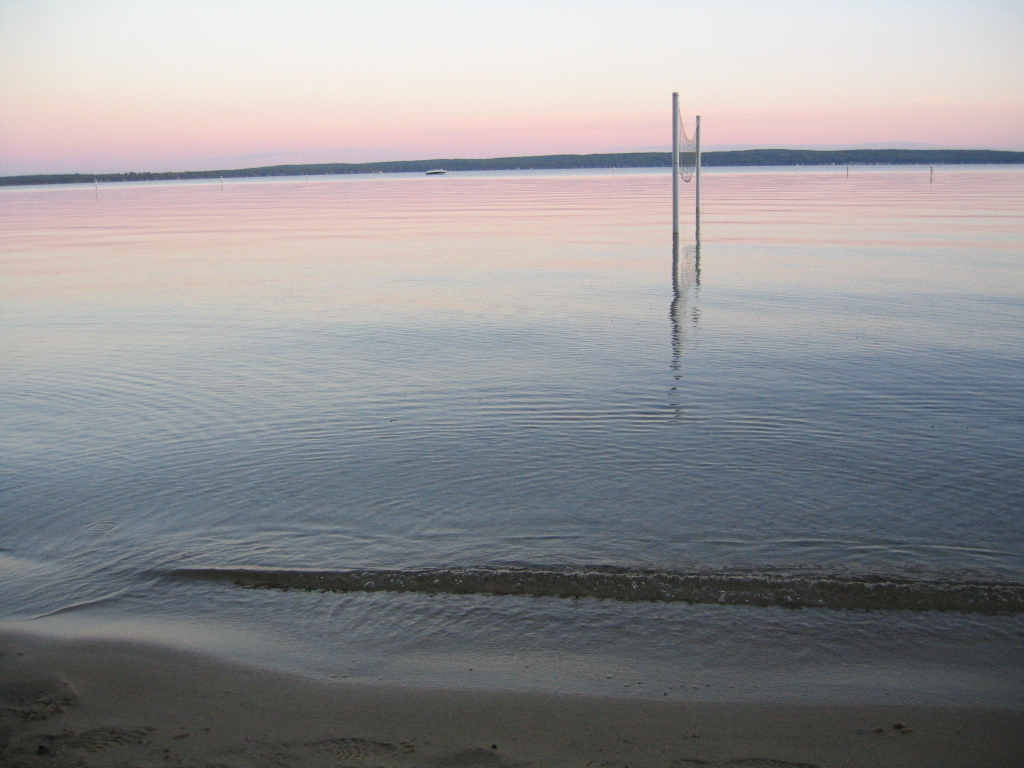
Marl Lake at Lake Higgins Park, MI

Early fishing

Starry Night in Michigan

204-0497_IMG

205-0532_IMG
204-0496_IMG

South Branch Late Summer

205-0533_IMG

South Branch Late Summer 2
small dam search a - 55

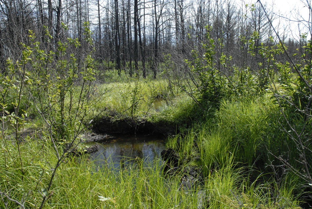
Cut-Creek--04

Cut-Creek---01

small dam search a - 39
Topographic Map of Higgins Township, MI, USA
Find elevation by address:

Places in Higgins Township, MI, USA:
Places near Higgins Township, MI, USA:
Roscommon
121 Ausable River Trail
121 Ausable River Trail
121 Ausable River Trail
121 Ausable River Trail
121 Ausable River Trail
123 Au Sable River Trail
Maple Valley Road
Cross Country Ski Headquarters
North Cut Road
Gerrish Township
148 Pine Bluffs Rd
308 Maplewood Dr
Au Sable Township
3190 Skeeter St
N St Helen Rd, St Helen, MI, USA
4923 W Dort Rd
South Branch Township
Roscommon County
Beaver Creek Township
Recent Searches:
- Elevation of Kreuzburger Weg 13, Düsseldorf, Germany
- Elevation of Gateway Blvd SE, Canton, OH, USA
- Elevation of East W.T. Harris Boulevard, E W.T. Harris Blvd, Charlotte, NC, USA
- Elevation of West Sugar Creek, Charlotte, NC, USA
- Elevation of Wayland, NY, USA
- Elevation of Steadfast Ct, Daphne, AL, USA
- Elevation of Lagasgasan, X+CQH, Tiaong, Quezon, Philippines
- Elevation of Rojo Ct, Atascadero, CA, USA
- Elevation of Flagstaff Drive, Flagstaff Dr, North Carolina, USA
- Elevation of Avery Ln, Lakeland, FL, USA