Elevation of Atchafalaya Basin, 8, LA, USA
Location: United States > Louisiana > St. Martin Parish > >
Longitude: -91.652644
Latitude: 30.3696046
Elevation: -10000m / -32808feet
Barometric Pressure: 295KPa
Elevation Map:
Satellite Map:
Related Photos:

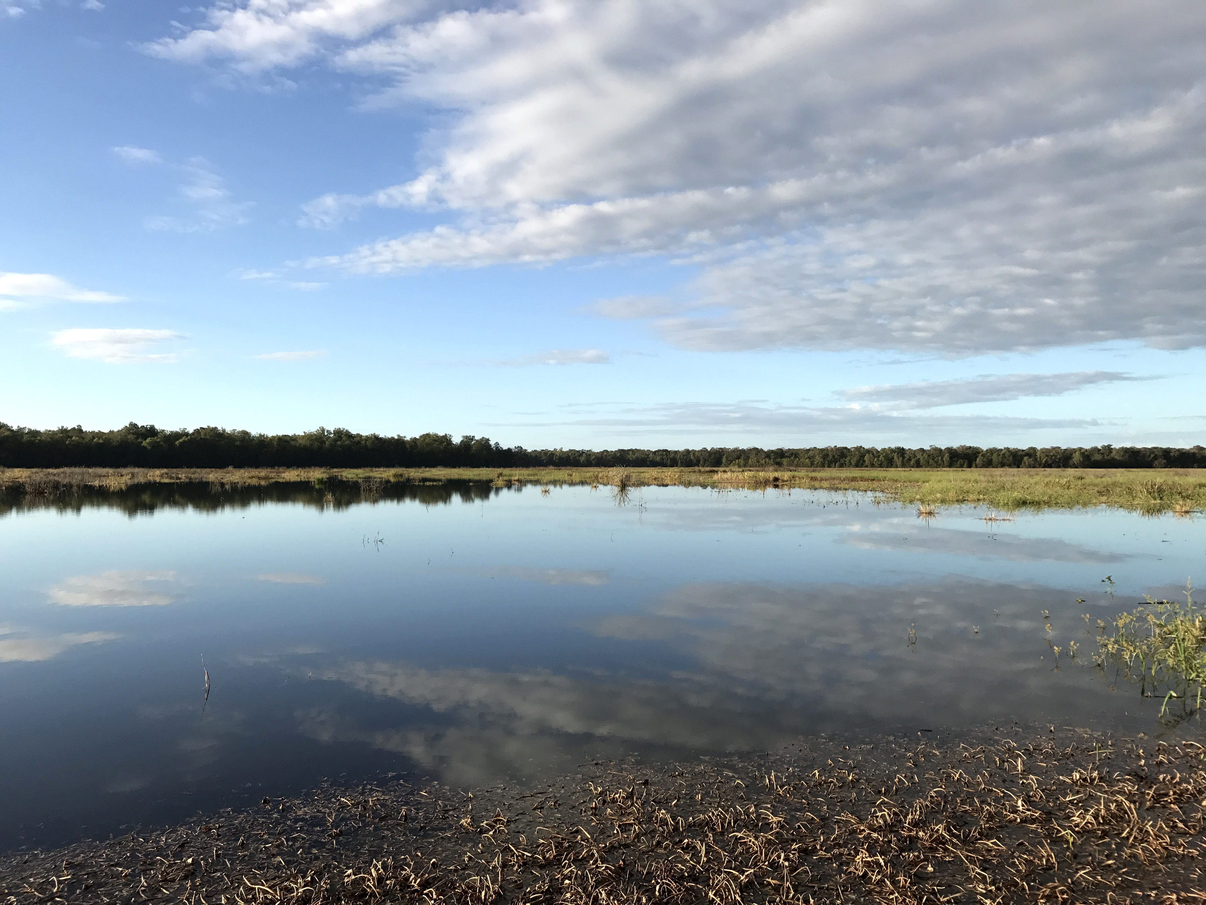
Clouds on the Water
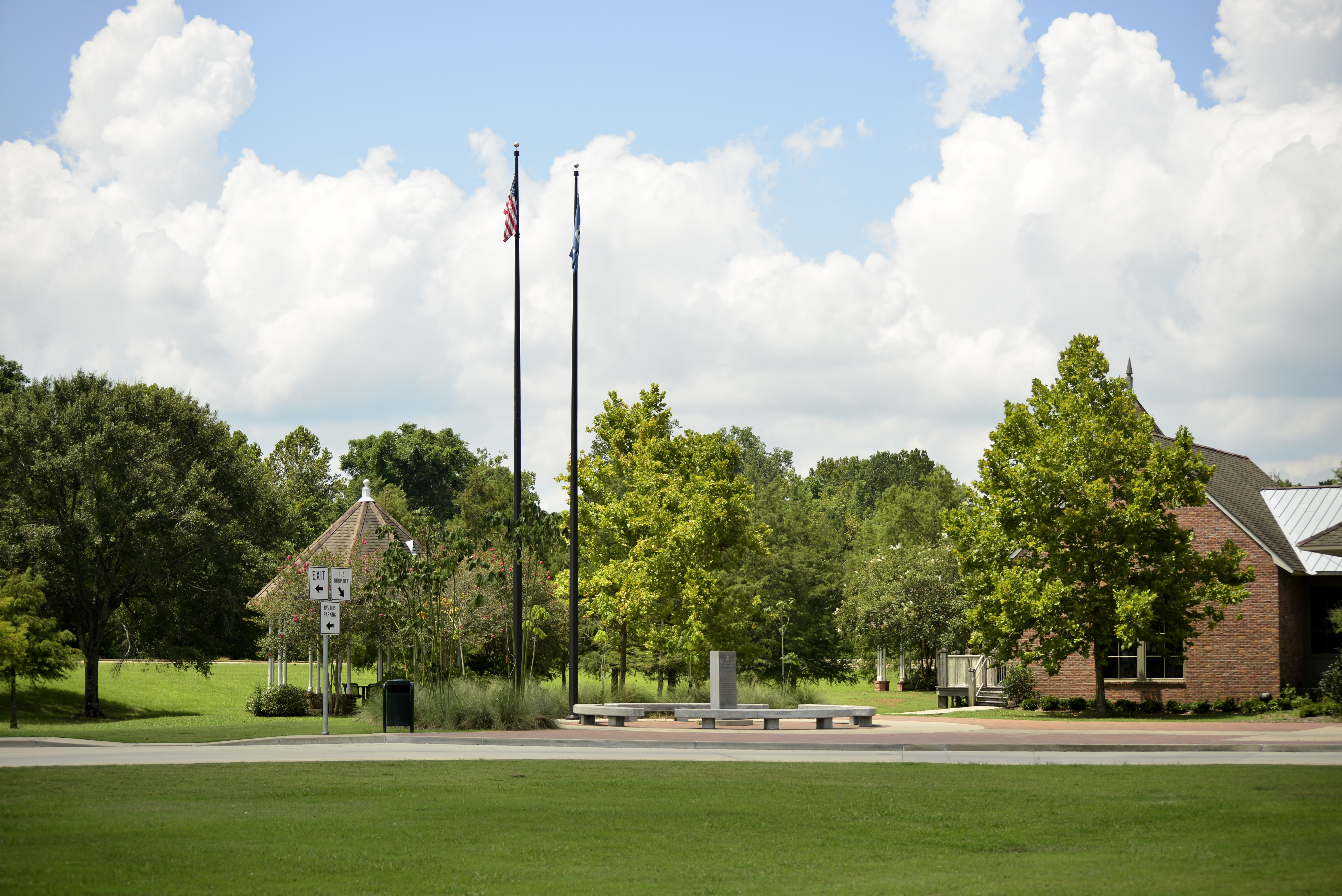
Establishing Shot - Iberville Parish LA - October 2017

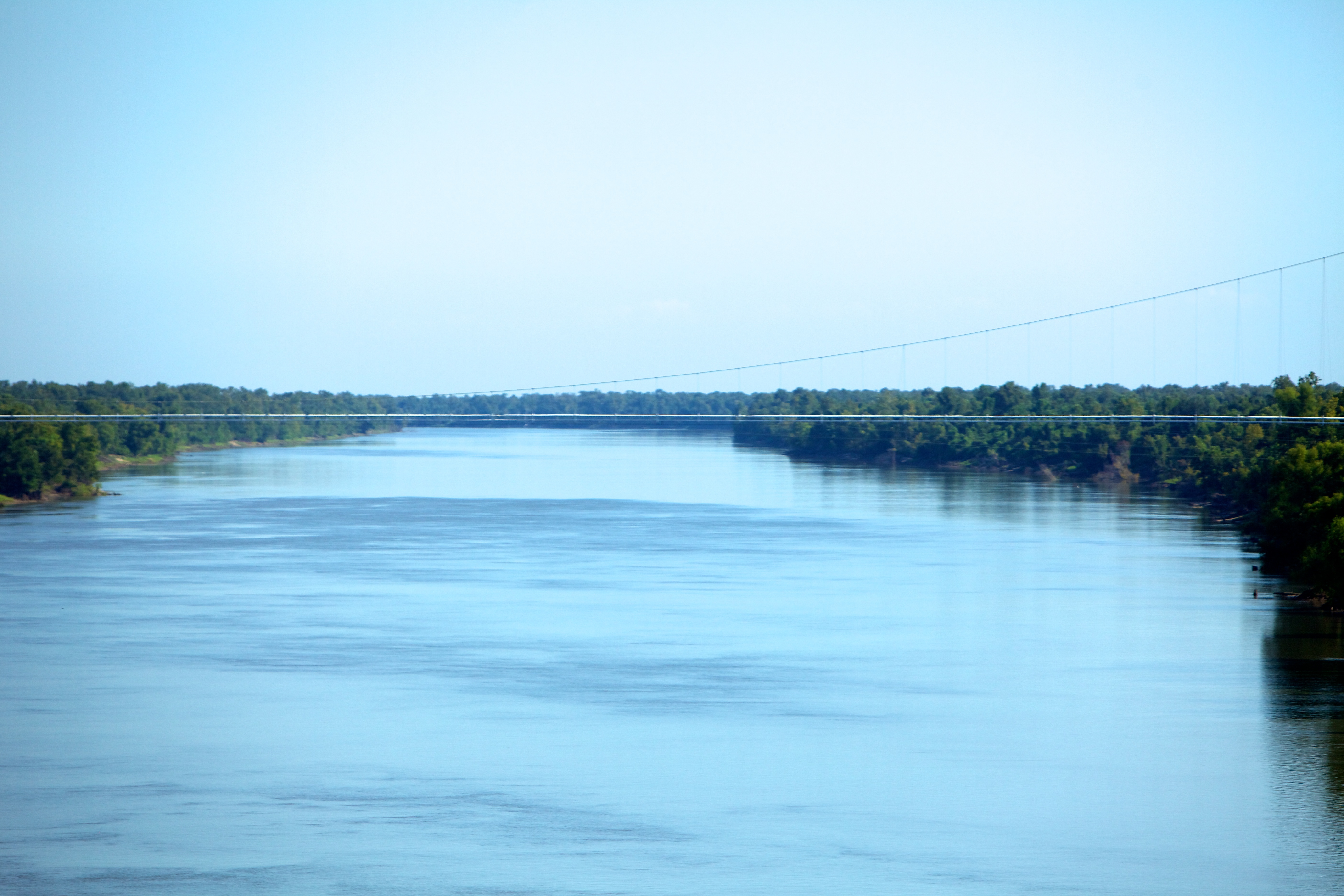
View from the 20 mile bridge.

View from the 20 mile bridge.

Indian Bayou(uhgp)

Indian Bayou
Distant view

View from the Boat Ramp

Atchafalaya Swamp

Cypress Grove in the Atchafalaya Basin 2

Westbound Lanes of Interstate 10 Crossing Atchafalaya Swamp (looking west)

flock underneath

a IMG_2018

flock underneath

River meets swamp. I love swamp :)

South Farm

atchafalaya, east bound, west bound...

Indian Bayou

Louisiana Swamps #travellingviews @milogreeneband

Almost there

Swamp land #Valencia #roadtrip #LA
Sherburne WMA-South Farm

Butte Larose Pontoon Bridge (St. Martin Parish, Louisiana)
day18 630

Bayou living.
Topographic Map of Atchafalaya Basin, 8, LA, USA
Find elevation by address:

Places near Atchafalaya Basin, 8, LA, USA:
Whiskey Bay Hwy, Breaux Bridge, LA, USA
8, LA, USA
2190 Atchafalaya River Hwy
2115 Atchafalaya River Hwy
12, LA, USA
Butte La Rose
Herman Dupuis Rd, Breaux Bridge, LA, USA
Breaux Bridge, LA, USA
5, LA, USA
Sherburne Wildlife Management Area
1478 Herman Dupuis Rd
LA-, Maringouin, LA, USA
Ray Lane
Henderson
1461 Henderson Hwy
1079 Par Rd 705
1027 Alida Dr
1001 Par Rd 705
St. Martin Parish
North Barn Road
Recent Searches:
- Elevation of Woodland Oak Pl, Thousand Oaks, CA, USA
- Elevation of Brownsdale Rd, Renfrew, PA, USA
- Elevation of Corcoran Ln, Suffolk, VA, USA
- Elevation of Mamala II, Sariaya, Quezon, Philippines
- Elevation of Sarangdanda, Nepal
- Elevation of 7 Waterfall Way, Tomball, TX, USA
- Elevation of SW 57th Ave, Portland, OR, USA
- Elevation of Crocker Dr, Vacaville, CA, USA
- Elevation of Pu Ngaol Community Meeting Hall, HWHM+3X7, Krong Saen Monourom, Cambodia
- Elevation of Royal Ontario Museum, Queens Park, Toronto, ON M5S 2C6, Canada