Elevation of 12, LA, USA
Location: United States > Louisiana > Iberville Parish >
Longitude: -91.578999
Latitude: 30.3110054
Elevation: 3m / 10feet
Barometric Pressure: 101KPa
Elevation Map:
Satellite Map:
Related Photos:
View from the Boat Ramp

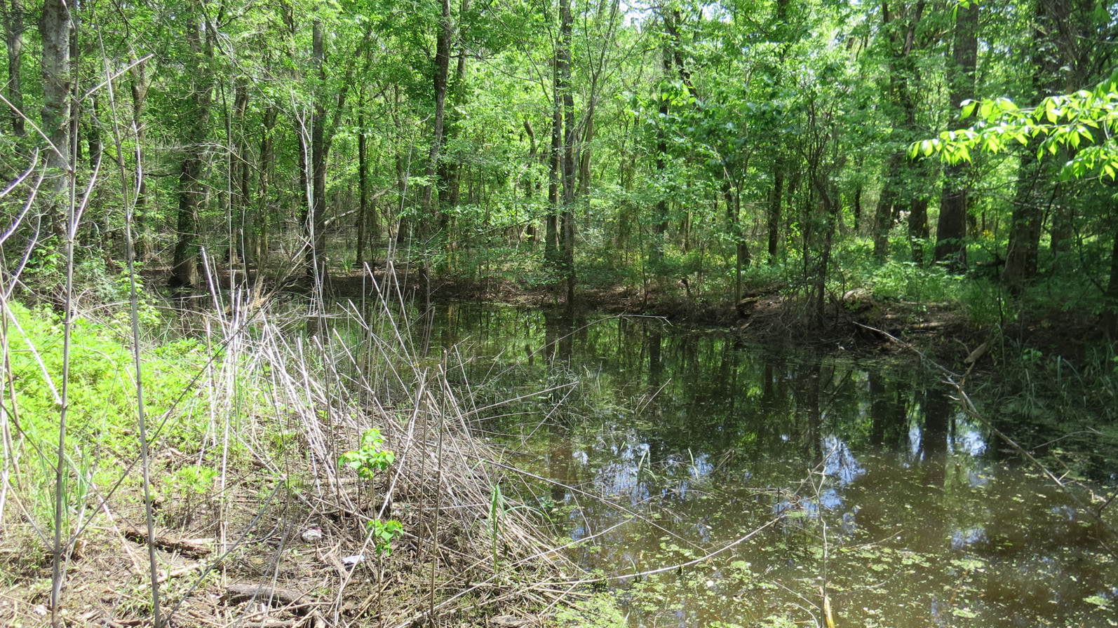
Sherburne WMA-South Farm
day18 630

Truck_080312_LR-38.jpg
Atchafalaya Welcome Center
Atchafalaya Welcome Center
Atchafalaya Welcome Center

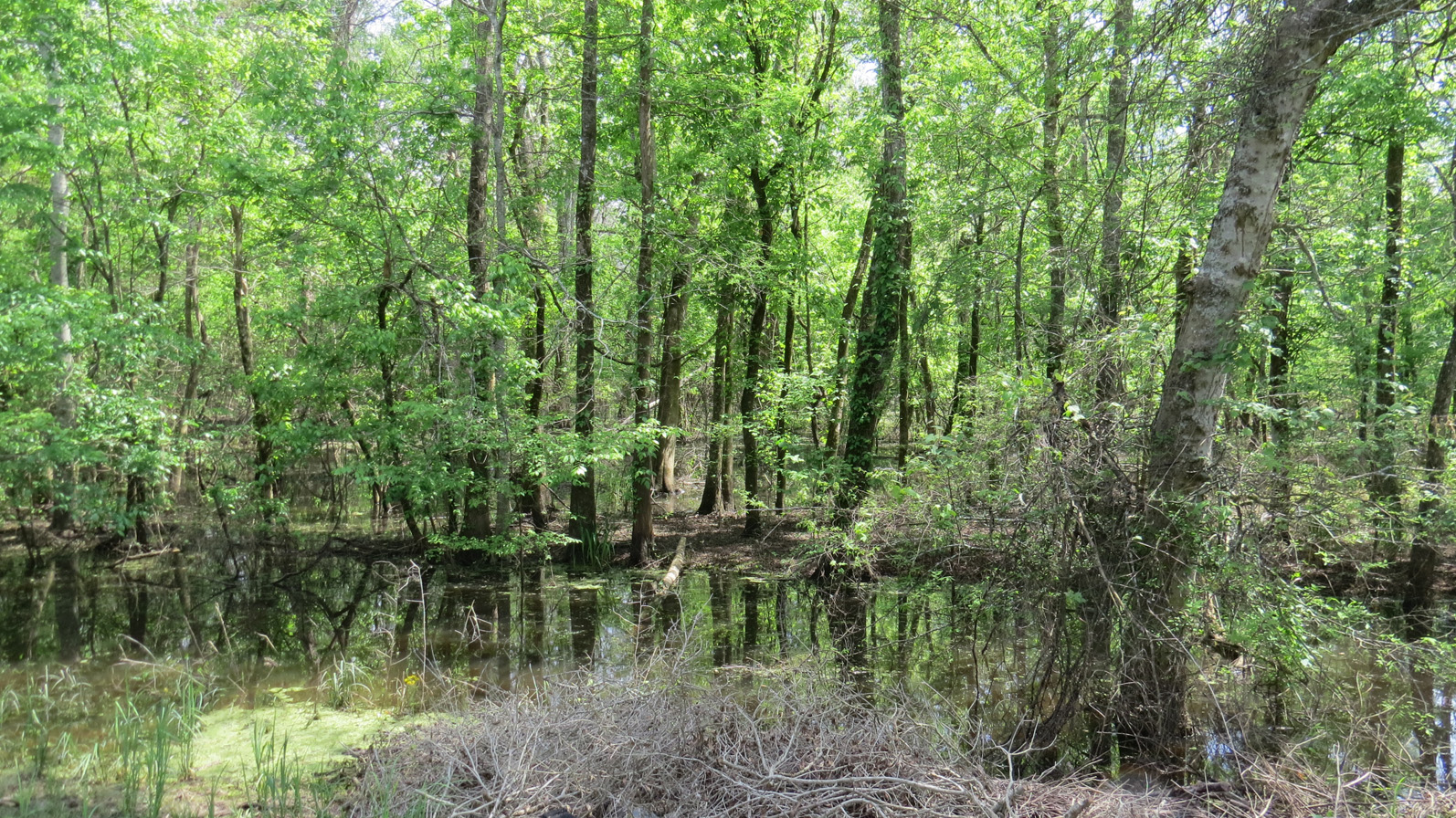
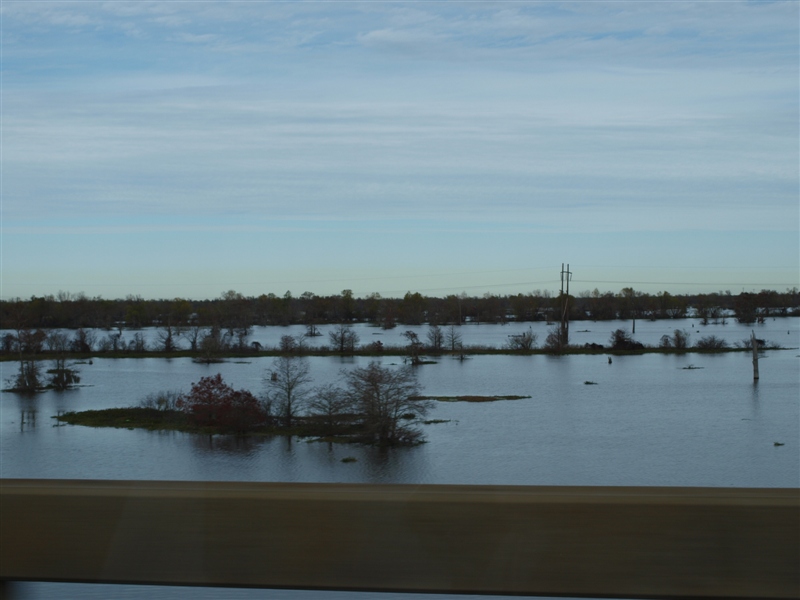
Atchafalaya Swamp
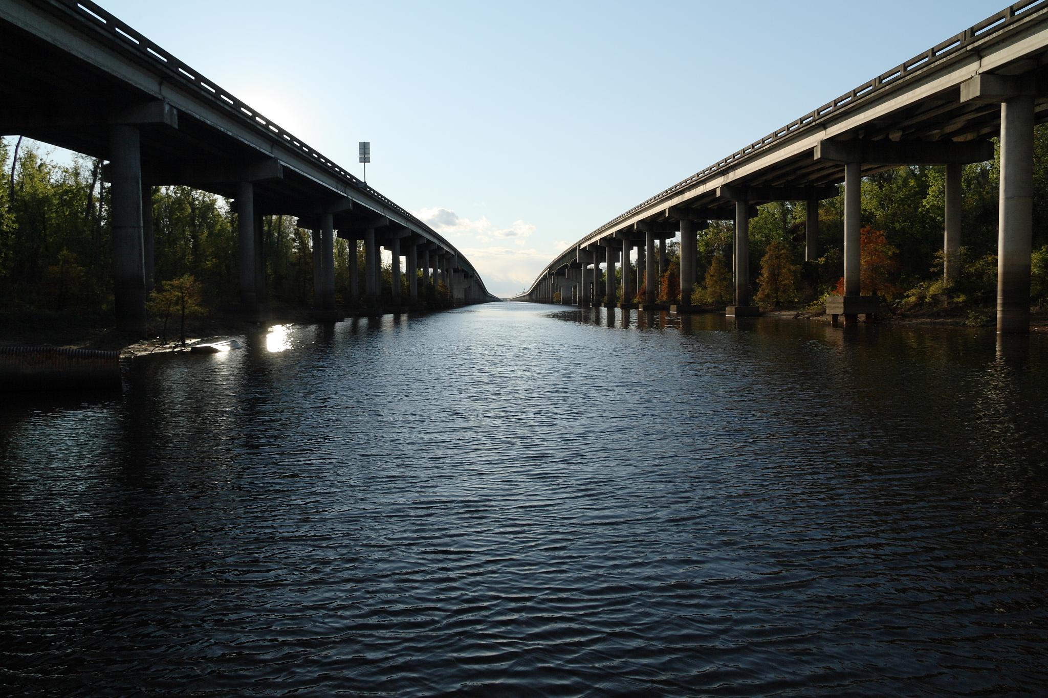
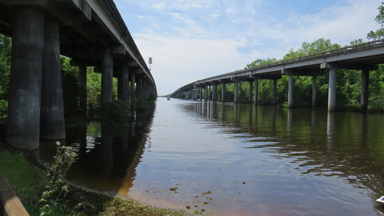
Westbound Lanes of Interstate 10 Crossing Atchafalaya Swamp (looking west)
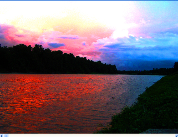
Beauty Of Color
day18 626
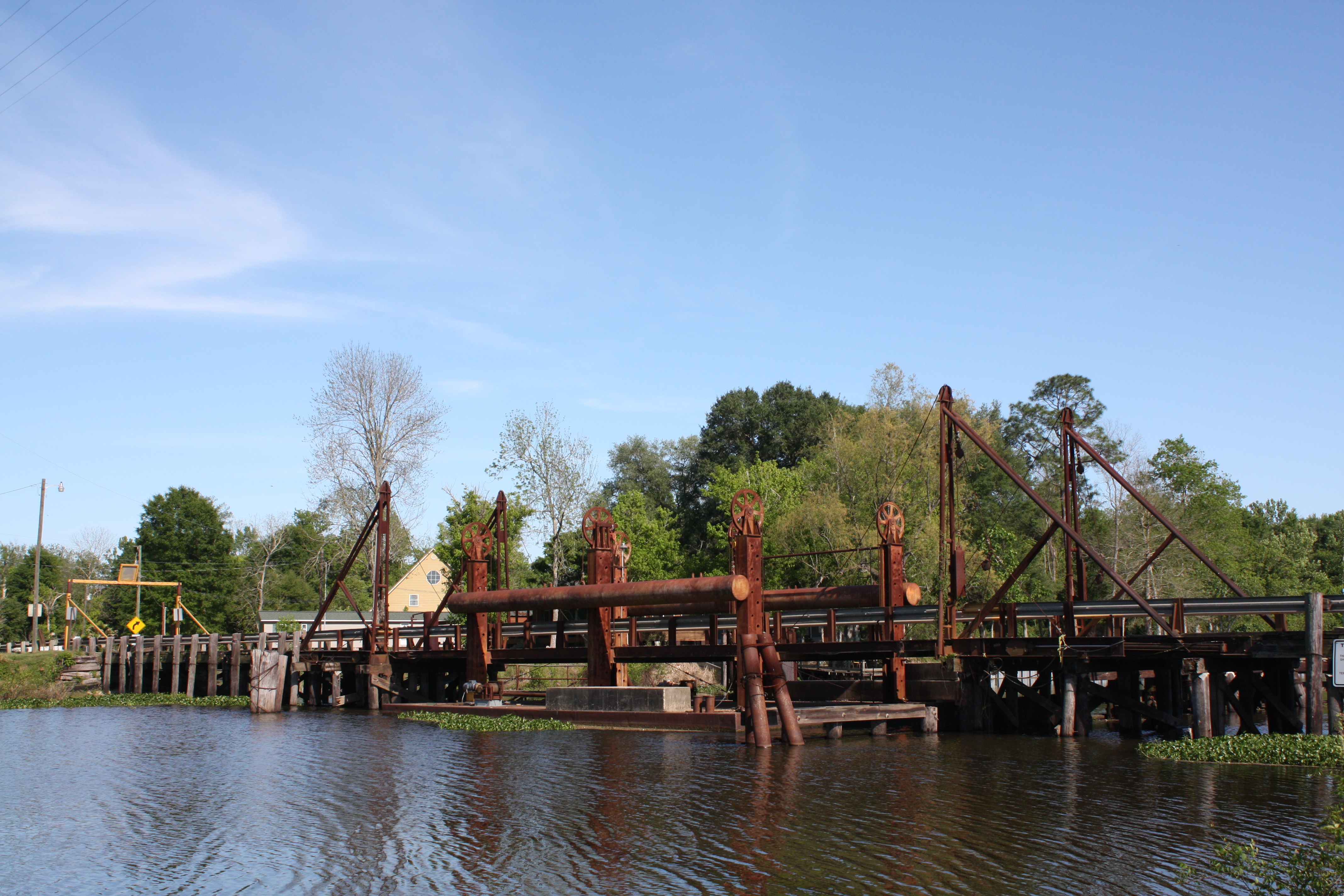
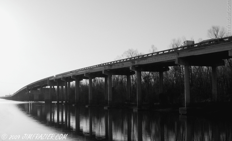
Butte Larose Pontoon Bridge
Driving through swamp Louisiana.JPG
#HendersonSwamp #swamp #Louisiana
Remember...
River's Edge 4

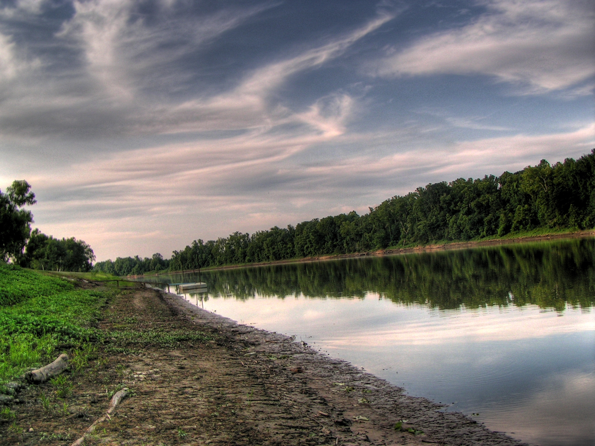
River's Edge 2
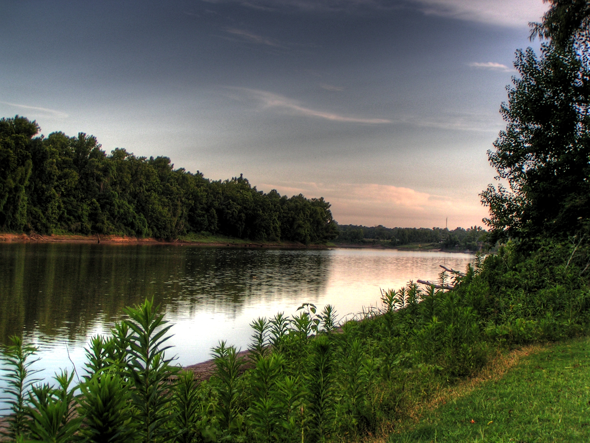
HDR Rivers Edge 3

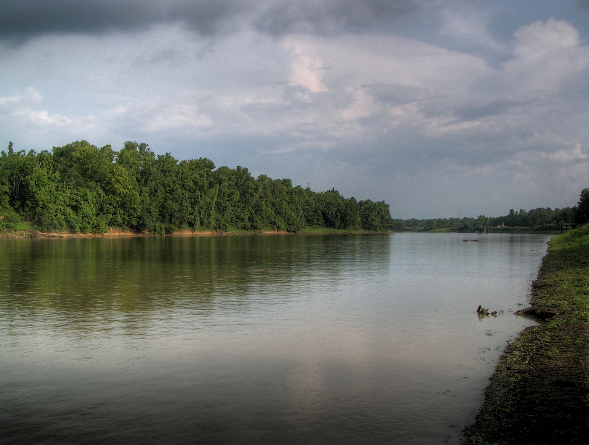
The Real River's Edge

Canon River Scene HDR
Minolta River Scene HDR

Camera Roll-9
Topographic Map of 12, LA, USA
Find elevation by address:

Places in 12, LA, USA:
Places near 12, LA, USA:
5, LA, USA
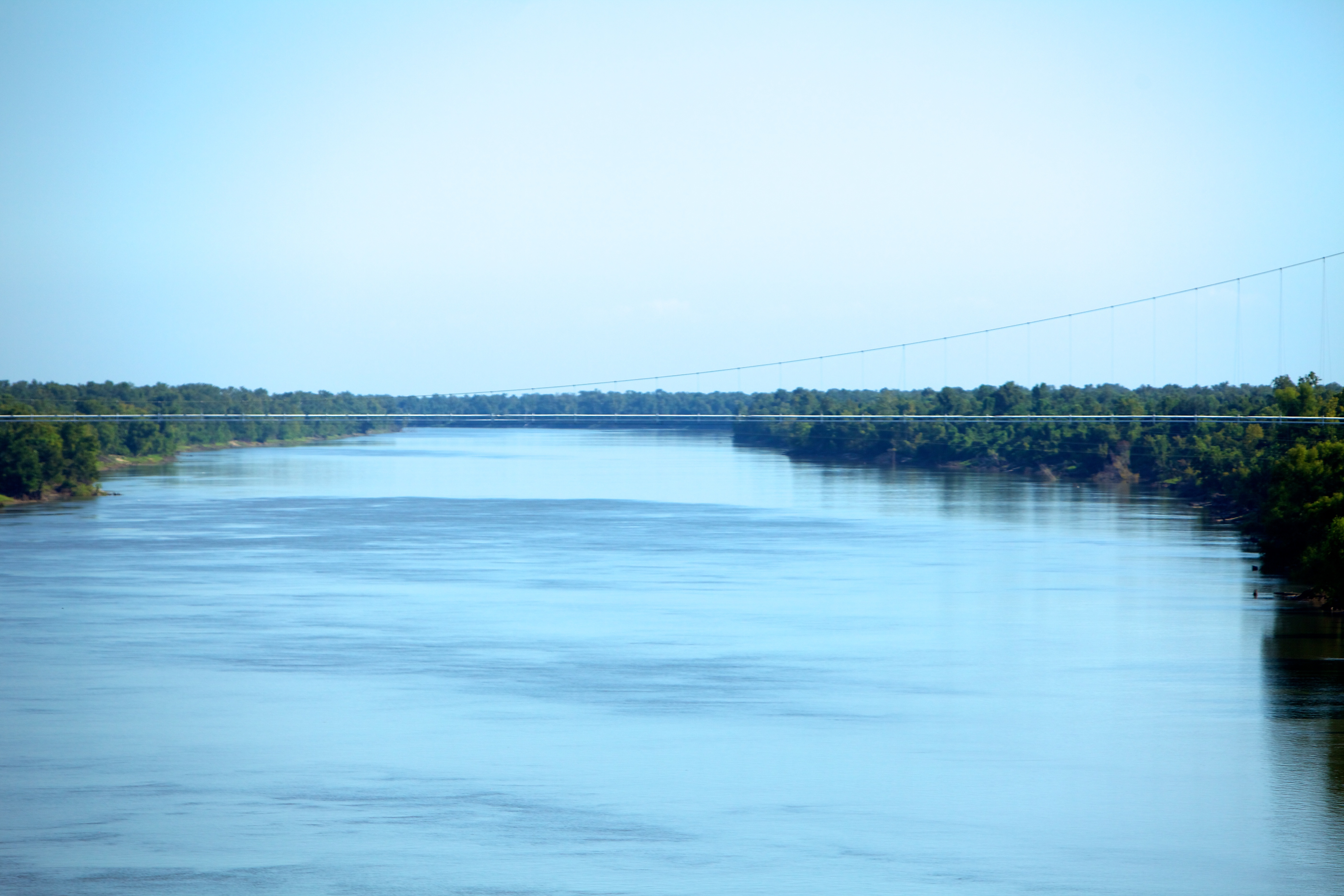
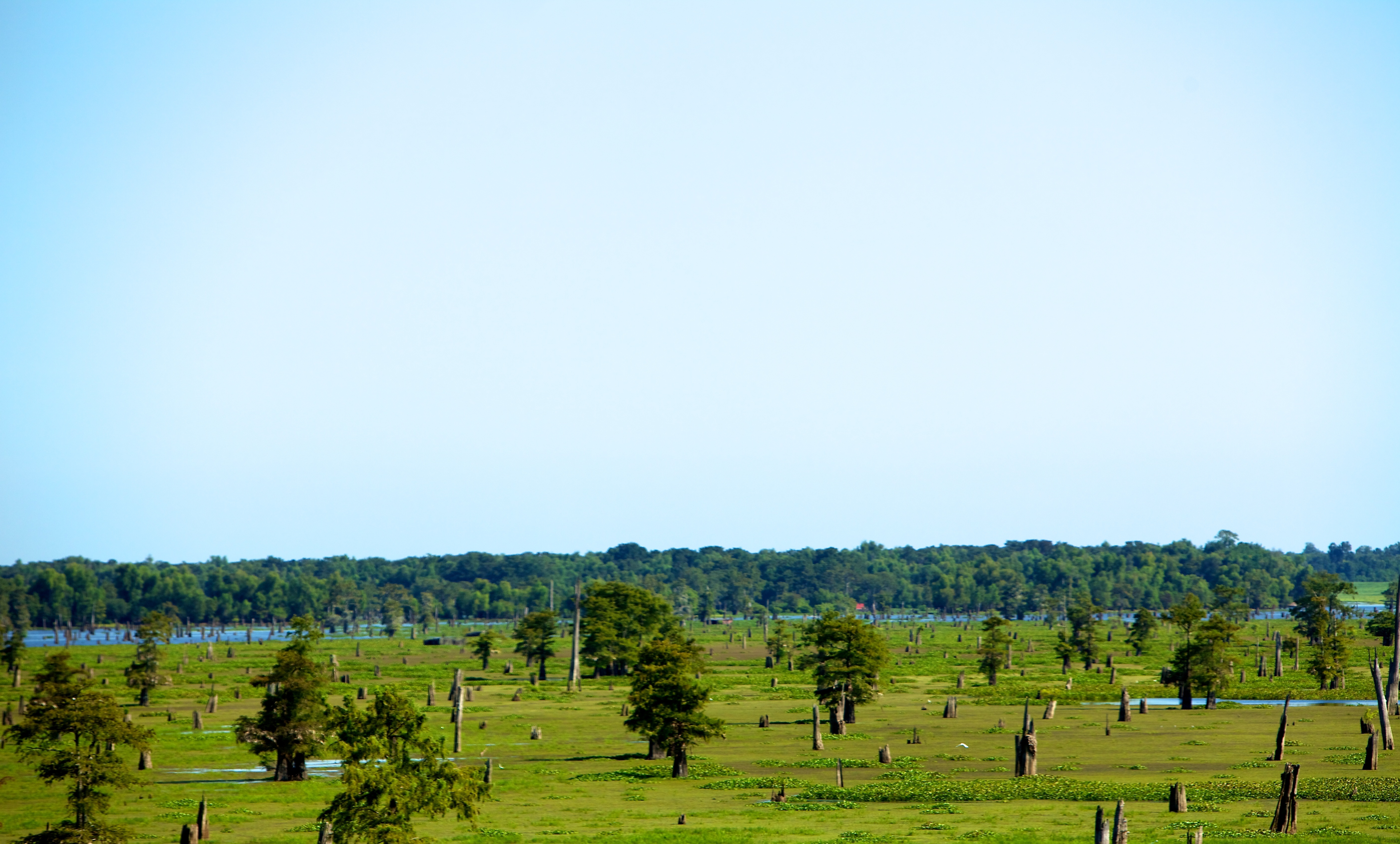
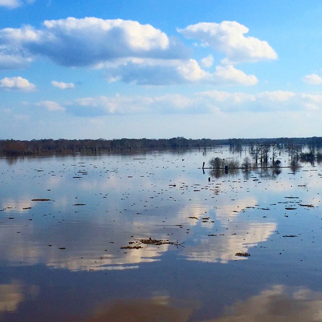
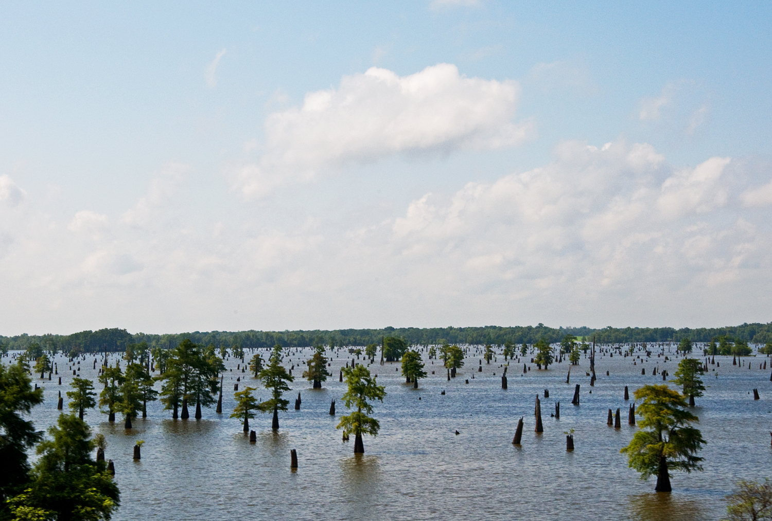
Atchafalaya Basin
Whiskey Bay Hwy, Breaux Bridge, LA, USA
Butte La Rose
Herman Dupuis Rd, Breaux Bridge, LA, USA
LA-, Maringouin, LA, USA
8, LA, USA
2190 Atchafalaya River Hwy
1478 Herman Dupuis Rd
2115 Atchafalaya River Hwy
Breaux Bridge, LA, USA
11, LA, USA
17906 Willow St
17906 Willow St
Grosse Tete
St. Martin Parish
Maringouin
Sherburne Wildlife Management Area
LA-77, Lottie, LA, USA
4, LA, USA
Recent Searches:
- Elevation of 7 Waterfall Way, Tomball, TX, USA
- Elevation of SW 57th Ave, Portland, OR, USA
- Elevation of Crocker Dr, Vacaville, CA, USA
- Elevation of Pu Ngaol Community Meeting Hall, HWHM+3X7, Krong Saen Monourom, Cambodia
- Elevation of Royal Ontario Museum, Queens Park, Toronto, ON M5S 2C6, Canada
- Elevation of Groblershoop, South Africa
- Elevation of Power Generation Enterprises | Industrial Diesel Generators, Oak Ave, Canyon Country, CA, USA
- Elevation of Chesaw Rd, Oroville, WA, USA
- Elevation of N, Mt Pleasant, UT, USA
- Elevation of 6 Rue Jules Ferry, Beausoleil, France