Elevation of Ashford, WV, USA
Location: United States > West Virginia > Boone County > >
Longitude: -81.710955
Latitude: 38.1792667
Elevation: 198m / 650feet
Barometric Pressure: 99KPa
Elevation Map:
Satellite Map:
Related Photos:
Driving from South Carolina to Detroit

Sweat Bee Back View

Katydid "ear"

Running Water

Moss Railway

Pano from my hotel room in Charleston WV.

Sunset @ Corridor G

Winter Grass in Old Apple Orchard
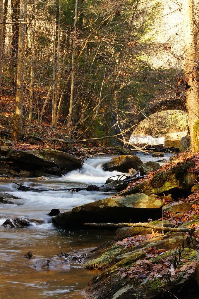
11 11 25 Dawdry Falls Seth WV 02
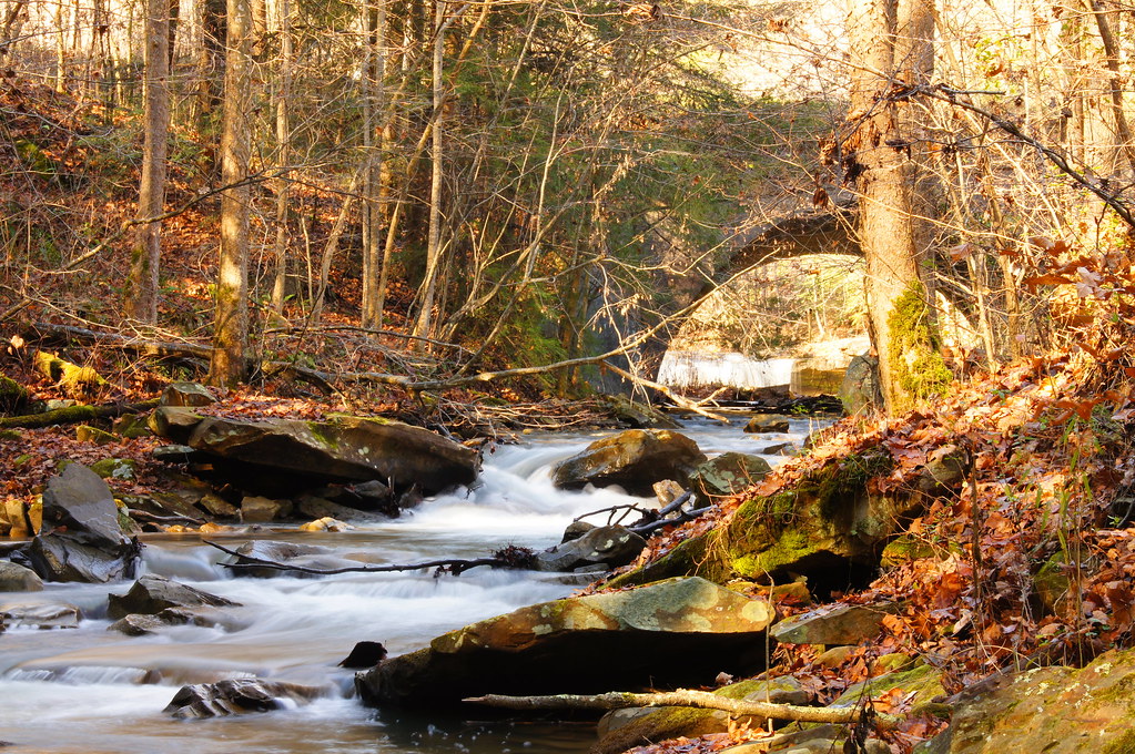
11 11 25 Dawdry Falls Seth WV 03
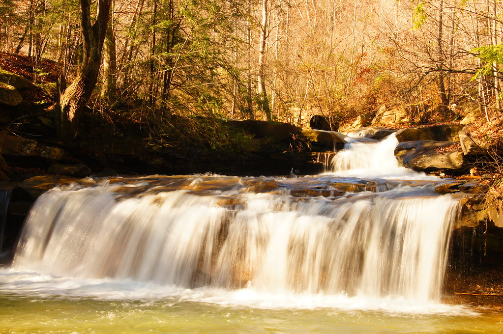
11 11 25 Dawdry Falls Seth WV 01

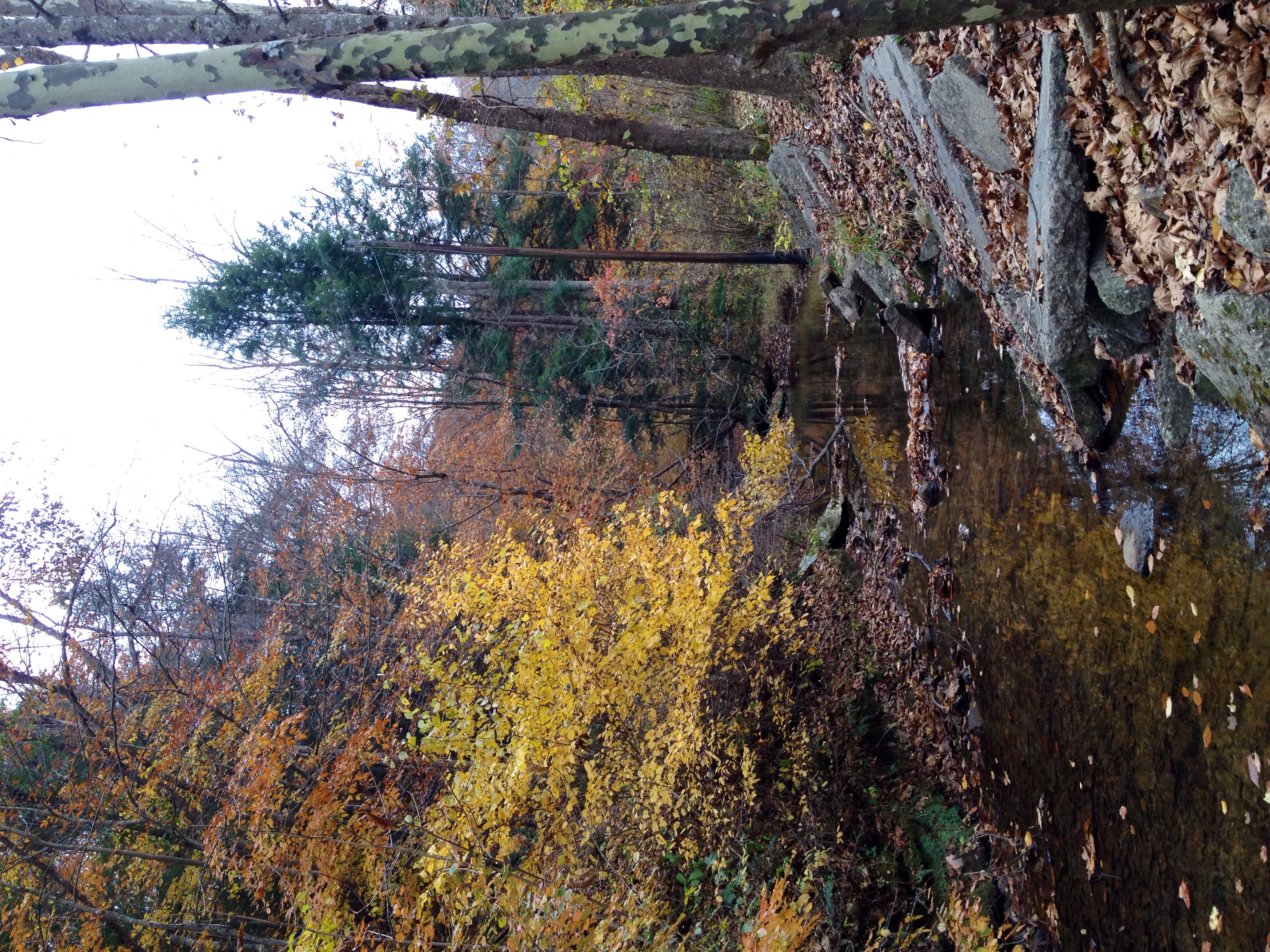
Fall Landscape

Fall Landscape

Bridge 911-04
Late Fall in Southern West Virginia

Fall Landscape

Fall Landscape

Fall Landscape

Whirling in the Pool

Sun Behind Clouds

Great Spangled Fritillary (Speyeria cybele)

Fall Landscape

Shelf Fungi on Tree Stump

White-throated Sparrow
Topographic Map of Ashford, WV, USA
Find elevation by address:

Places in Ashford, WV, USA:
Places near Ashford, WV, USA:
Ashford Ln, Ashford, WV, USA
Gibson Rd, Alum Creek, WV, USA
Emmons Rd, Alum Creek, WV, USA
2, WV, USA
McCorkle Rd, Sod, WV, USA
Bentley Circle
Chestnut Road
Kenova Ave, Julian, WV, USA
Julian
Julian
Julian
Julian
Julian
Julian
Julian
Julian
Julian
Julian
Julian
Julian
Recent Searches:
- Elevation of Shibuya Scramble Crossing, 21 Udagawacho, Shibuya City, Tokyo -, Japan
- Elevation of Jadagoniai, Kaunas District Municipality, Lithuania
- Elevation of Pagonija rock, Kranto 7-oji g. 8"N, Kaunas, Lithuania
- Elevation of Co Rd 87, Jamestown, CO, USA
- Elevation of Tenjo, Cundinamarca, Colombia
- Elevation of Côte-des-Neiges, Montreal, QC H4A 3J6, Canada
- Elevation of Bobcat Dr, Helena, MT, USA
- Elevation of Zu den Ihlowbergen, Althüttendorf, Germany
- Elevation of Badaber, Peshawar, Khyber Pakhtunkhwa, Pakistan
- Elevation of SE Heron Loop, Lincoln City, OR, USA