Elevation of McCorkle Rd, Sod, WV, USA
Location: United States > West Virginia > Lincoln County >
Longitude: -81.836133
Latitude: 38.2157063
Elevation: 193m / 633feet
Barometric Pressure: 99KPa
Elevation Map:
Satellite Map:
Related Photos:

Katydid "ear"

Pano from my hotel room in Charleston WV.

Sunset @ Corridor G
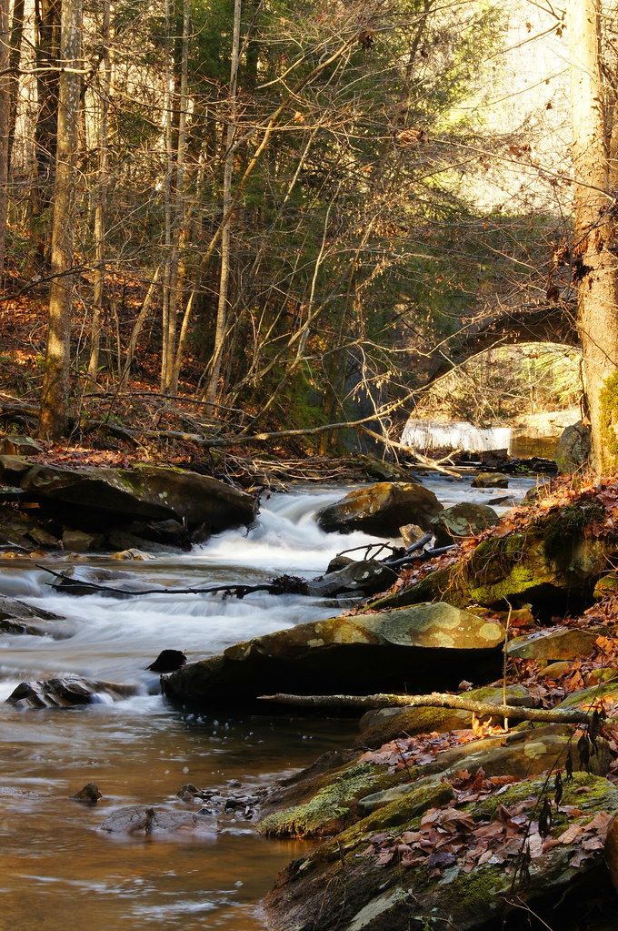
11 11 25 Dawdry Falls Seth WV 02
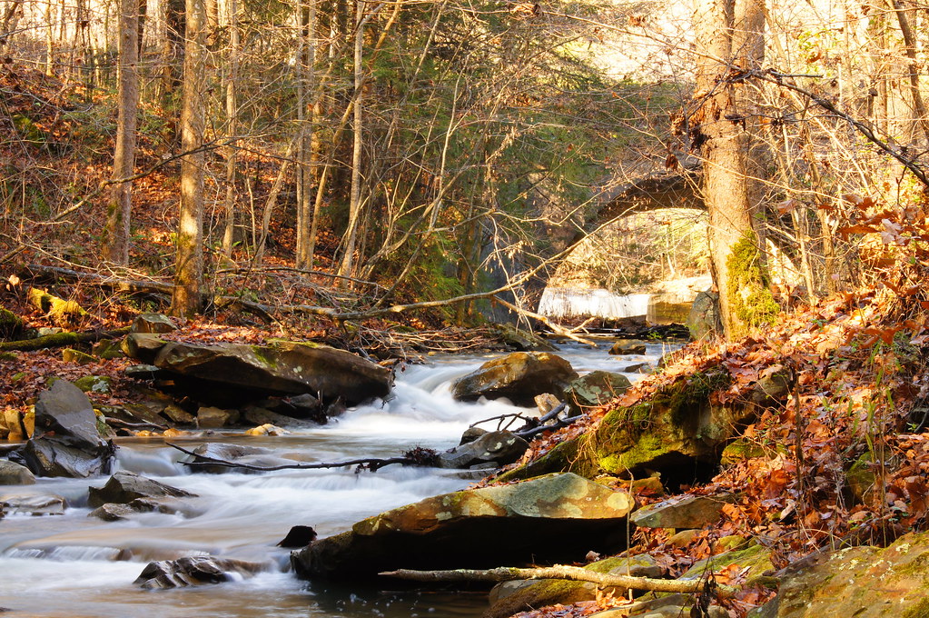
11 11 25 Dawdry Falls Seth WV 03
11 11 25 Dawdry Falls Seth WV 01

Fall Landscape

Fall Landscape

Late Fall in Southern West Virginia

Fall Landscape

Fall Landscape

Fall Landscape

Great Spangled Fritillary (Speyeria cybele)

Shelf Fungi on Tree Stump

Fall Landscape
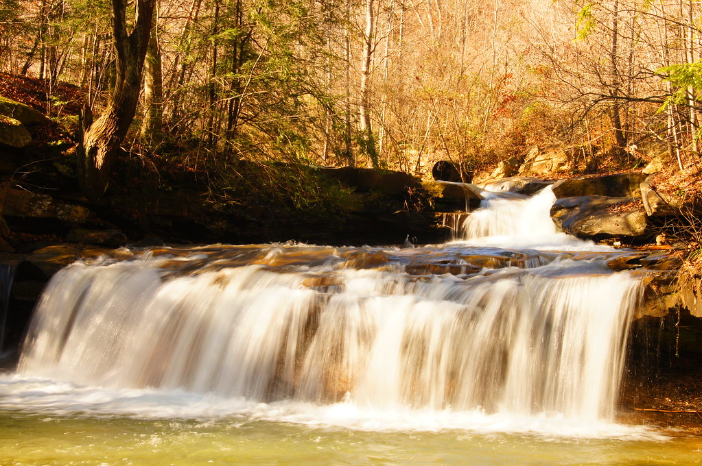
West Virginia: Drawdy Falls
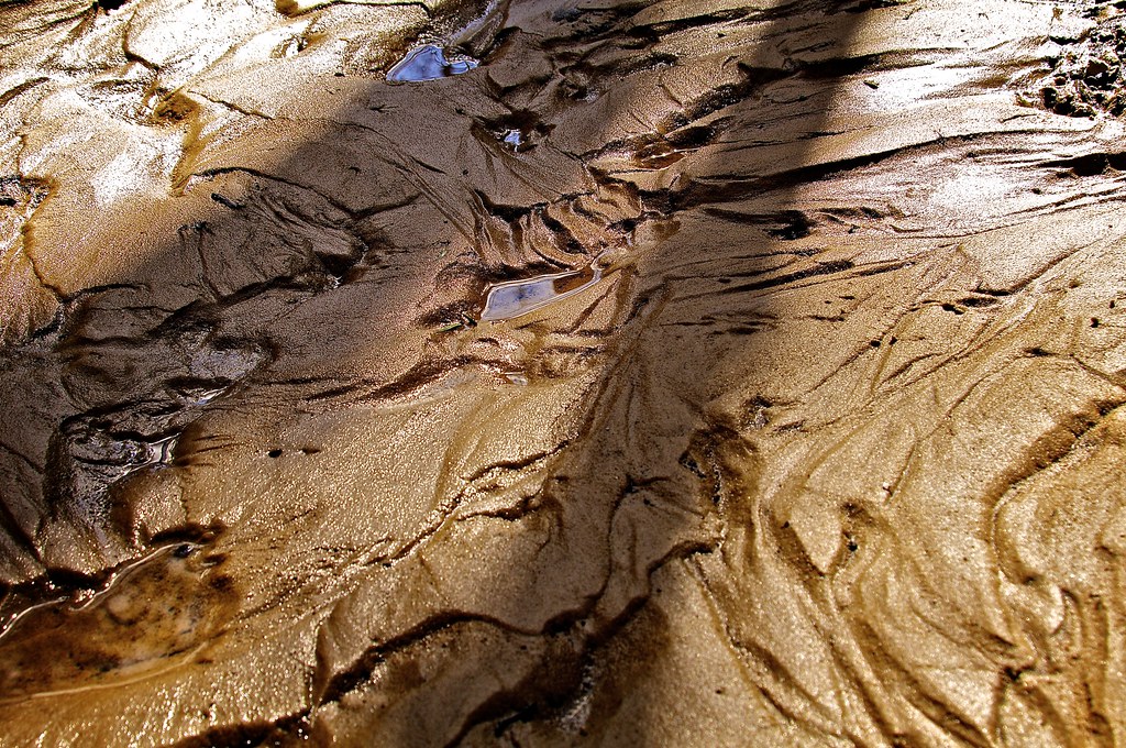
Mud Flow

Killing time, waiting for my oil to be changed...
Topographic Map of McCorkle Rd, Sod, WV, USA
Find elevation by address:

Places near McCorkle Rd, Sod, WV, USA:
Washington
Kenova Ave, Julian, WV, USA
Julian
Julian
Julian
Julian
Julian
Julian
Julian
Julian
Julian
Julian
Julian
Julian
Emmons Rd, Alum Creek, WV, USA
Bentley Circle
2434 Midway Rd
Alum Creek
Sumerco
Midway Rd, Sumerco, WV, USA
Recent Searches:
- Elevation of Corso Fratelli Cairoli, 35, Macerata MC, Italy
- Elevation of Tallevast Rd, Sarasota, FL, USA
- Elevation of 4th St E, Sonoma, CA, USA
- Elevation of Black Hollow Rd, Pennsdale, PA, USA
- Elevation of Oakland Ave, Williamsport, PA, USA
- Elevation of Pedrógão Grande, Portugal
- Elevation of Klee Dr, Martinsburg, WV, USA
- Elevation of Via Roma, Pieranica CR, Italy
- Elevation of Tavkvetili Mountain, Georgia
- Elevation of Hartfords Bluff Cir, Mt Pleasant, SC, USA