Elevation of Ashby, VA, USA
Location: United States > Virginia > Warren County > Shenandoah >
Longitude: -78.134818
Latitude: 39.011471
Elevation: -10000m / -32808feet
Barometric Pressure: 295KPa
Elevation Map:
Satellite Map:
Related Photos:

39/365 - Sunset in the east

Ovoka Farm, served as HQ in the Civil War, now where the cattle roam

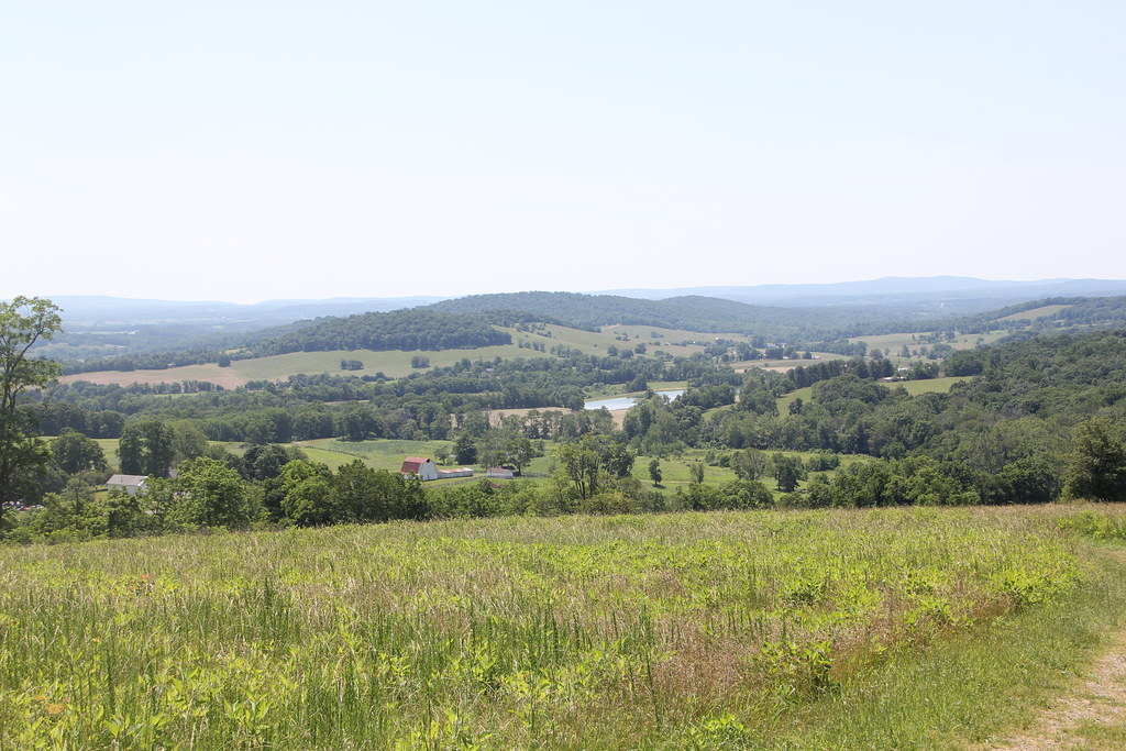
Sky Meadows State Park - A View from the Piedmont Overlook Trail

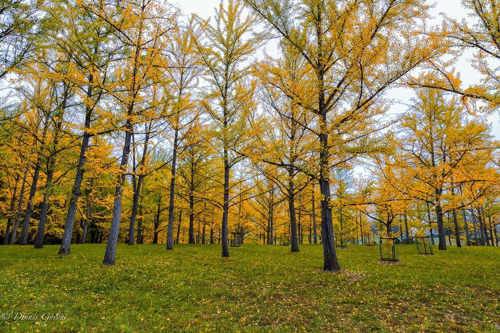
A view of the Ginkgo Grove at the Virginia State Arboretum
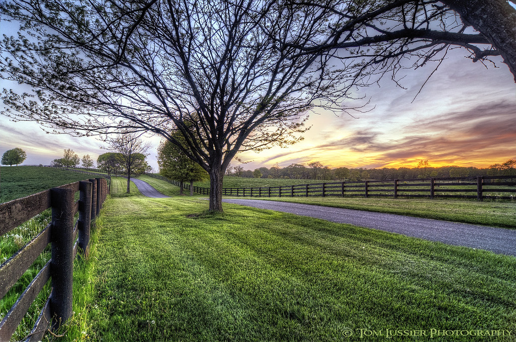
Hunt Country Lane

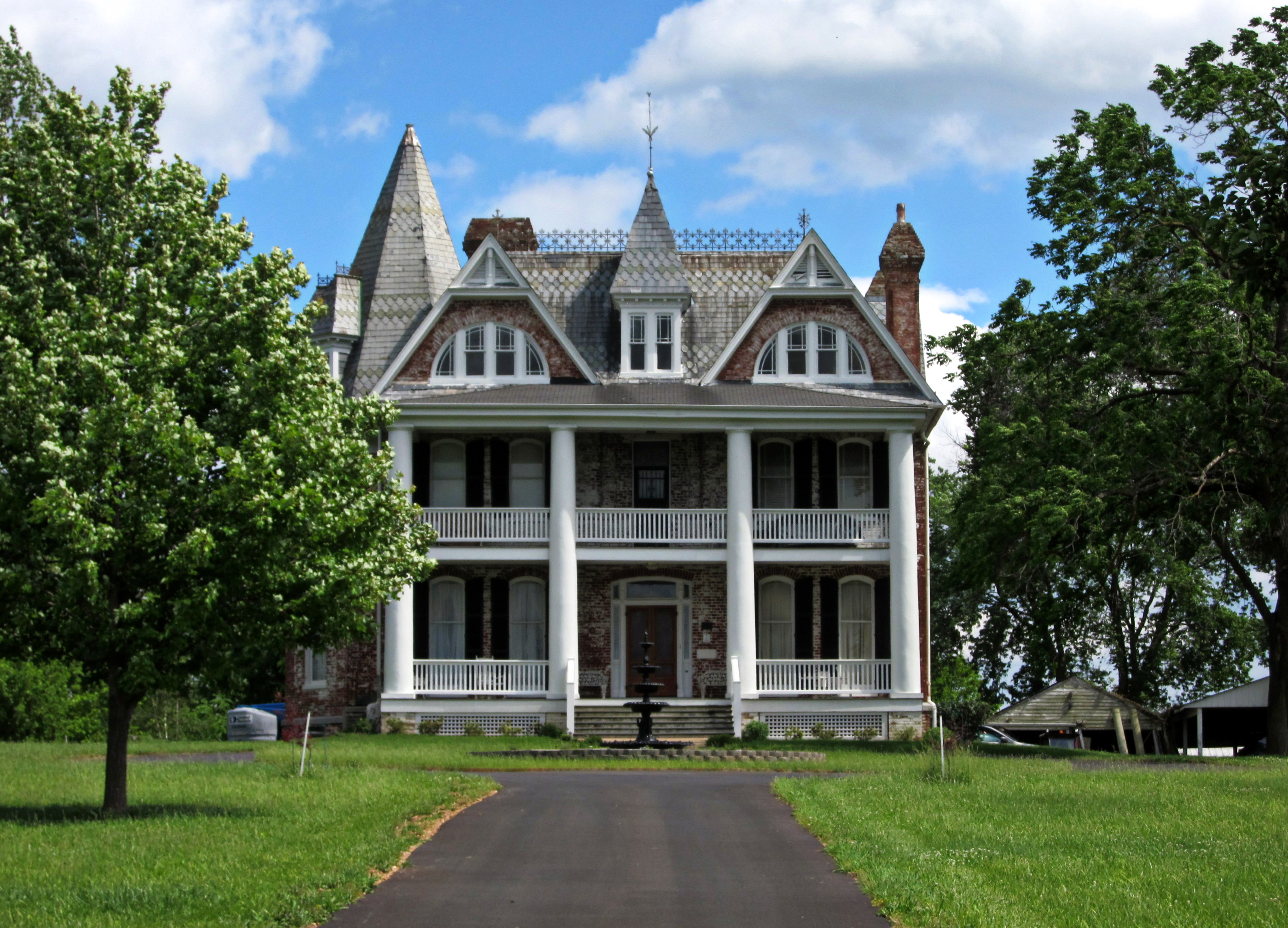
Carter Hall, circa 1790s, Millwood, VA

Left for dead (House of Usher)

Sky Meadows State Park - A View from the Piedmont Overlook Trail
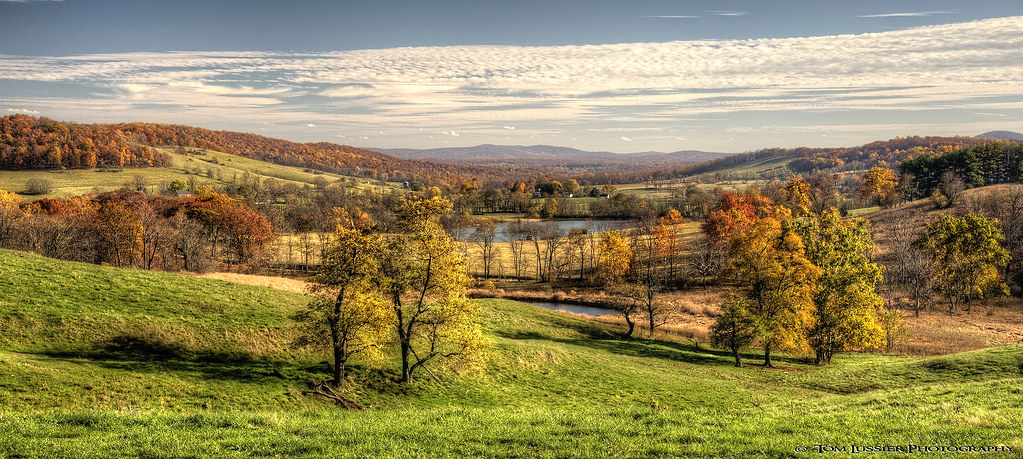
Sky Meadows Autumn
Sky Meadows State Park - A View from the North Ridge Trail

Sunday Morning Coming Down (Front Royal)

Ross' Goose - Chen rossii

Monte Vista

Carter Hall, circa 1792, Millwood, VA
Monte Vista
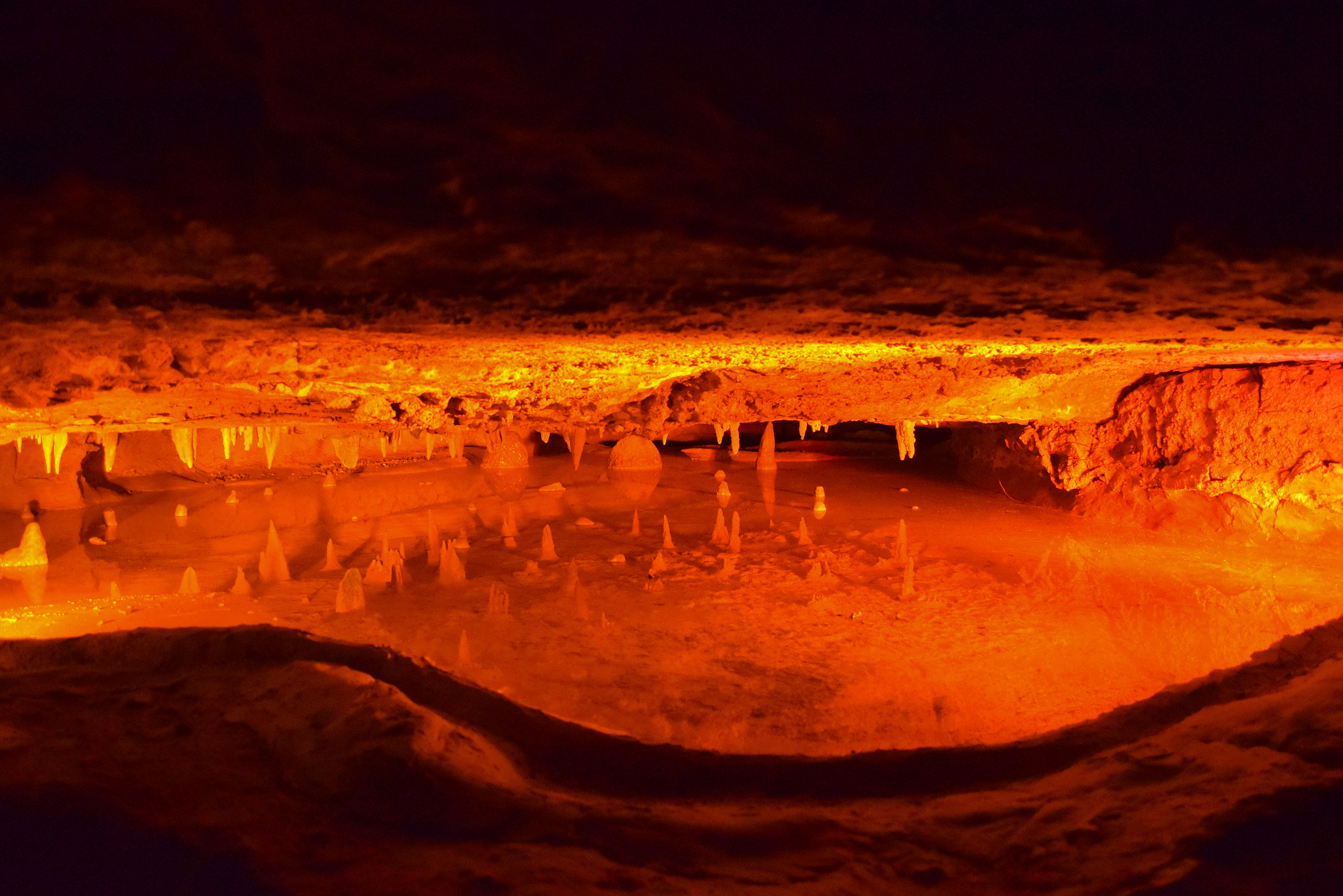
Underground Lake

View from Belle Grove

1,000,000

Paris, Va.: Jun. '12

Ginkgo Grove at Blandy Experimental Farm

Carter Hall, circa 1792, Millwood, VA
:: exist ::

Lands Run Falls Trail #hiking

Cedar Creek Battlefield

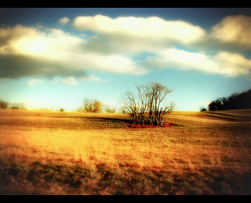
The Horizon
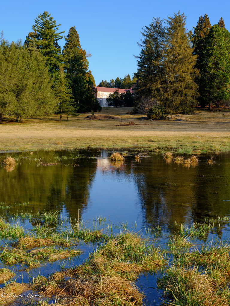
Mill Overflow

Sky Meadows Visitor Center

:: and they sing ::

Sky Meadows State Park

Kernstown Battlefield - View from Pritchard's Hill

Long Branch Farm Lane
Before The Wind Came

The One in the Middle

Markam Pasture

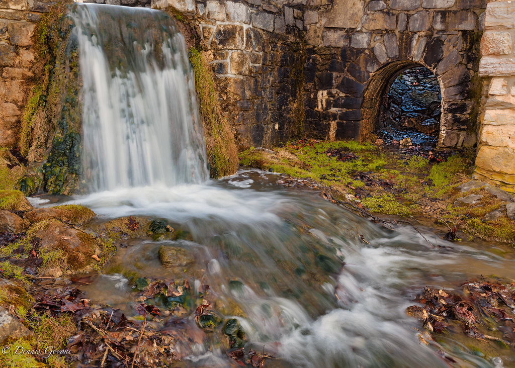
Mill Race

Ginkgo Grove Through Fish-eye

Curtain Call
The Ginkgo Grove at Virginia Arboretum

Greeting the Rising Sun

Winter Landscape at Sky Meadows State Park Delaplane VA

Slave Quarters (original east wing) at The Tuleyries, circa 1833, White Post, VA
Topographic Map of Ashby, VA, USA
Find elevation by address:

Places near Ashby, VA, USA:
Fairground Road
738 Bowling View Rd
738 Bowling View Rd
1487 Rockland Rd
Shenandoah
54 Spruce Rd
82 Sugar Maple Rd
67 Old Dam Rd
Putter Court
Hickory Shaft Court
Divot Court
778 Old Dam Rd
743 Refuge Church Rd
134 Christendom Dr
32 Hardesty Rd, Front Royal, VA, USA
Emerald Ln, Front Royal, VA, USA
1510 Shenandoah Shores Rd
2215 Happy Creek Rd
River Isle Ln, Front Royal, VA, USA
Baldwin Rd, Front Royal, VA, USA
Recent Searches:
- Elevation of Tenjo, Cundinamarca, Colombia
- Elevation of Côte-des-Neiges, Montreal, QC H4A 3J6, Canada
- Elevation of Bobcat Dr, Helena, MT, USA
- Elevation of Zu den Ihlowbergen, Althüttendorf, Germany
- Elevation of Badaber, Peshawar, Khyber Pakhtunkhwa, Pakistan
- Elevation of SE Heron Loop, Lincoln City, OR, USA
- Elevation of Slanický ostrov, 01 Námestovo, Slovakia
- Elevation of Spaceport America, Co Rd A, Truth or Consequences, NM, USA
- Elevation of Warwick, RI, USA
- Elevation of Fern Rd, Whitmore, CA, USA