Elevation of Artinsula Rd, Sherbrooke, NS B0J 3C0, Canada
Location: Canada > Nova Scotia > Guysborough County > St. Mary's > Sherbrooke >
Longitude: -61.779086
Latitude: 45.088949
Elevation: 9m / 30feet
Barometric Pressure: 101KPa
Elevation Map:
Satellite Map:
Related Photos:
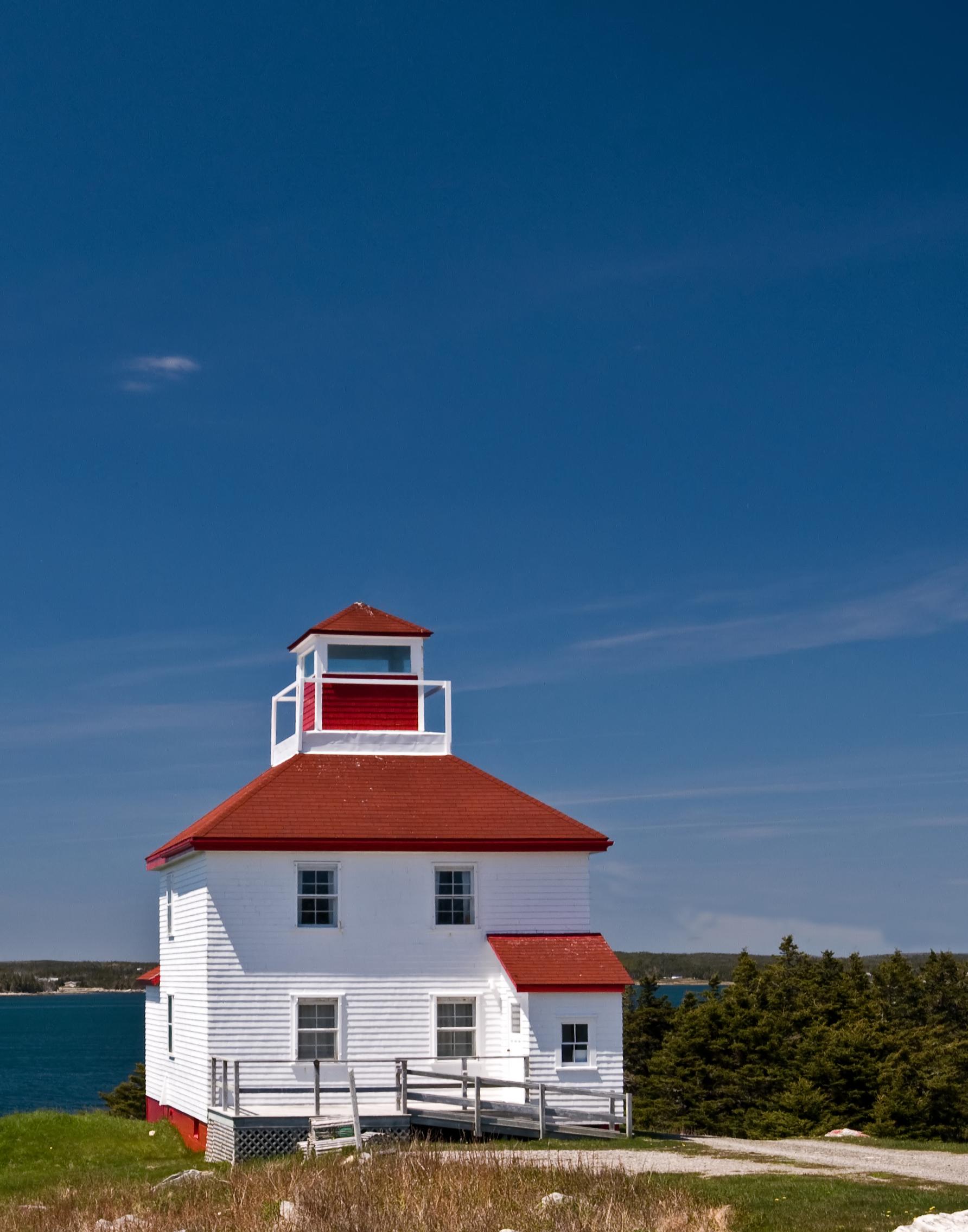
Original Lighthouse
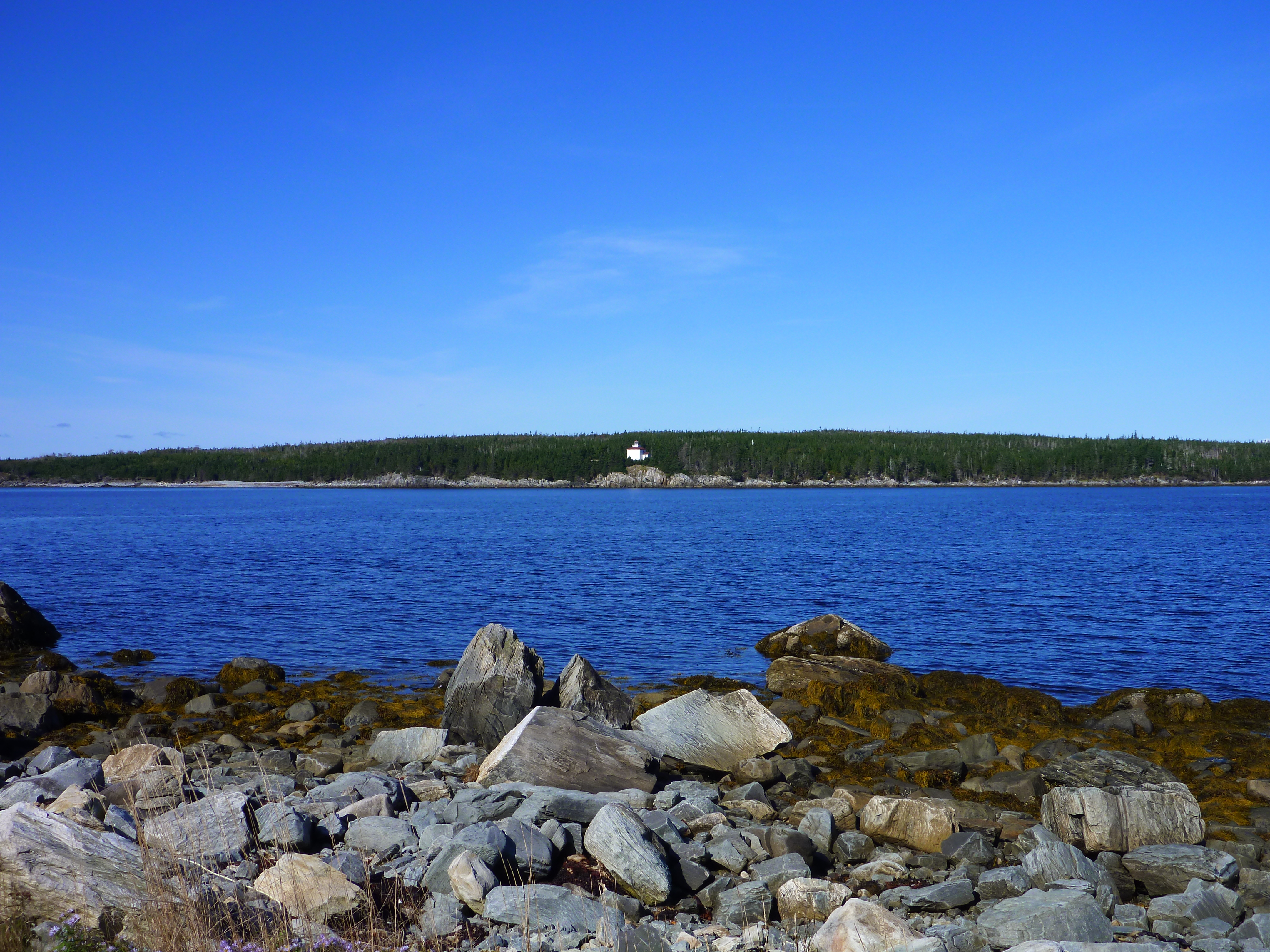
Lonely Lighthouse
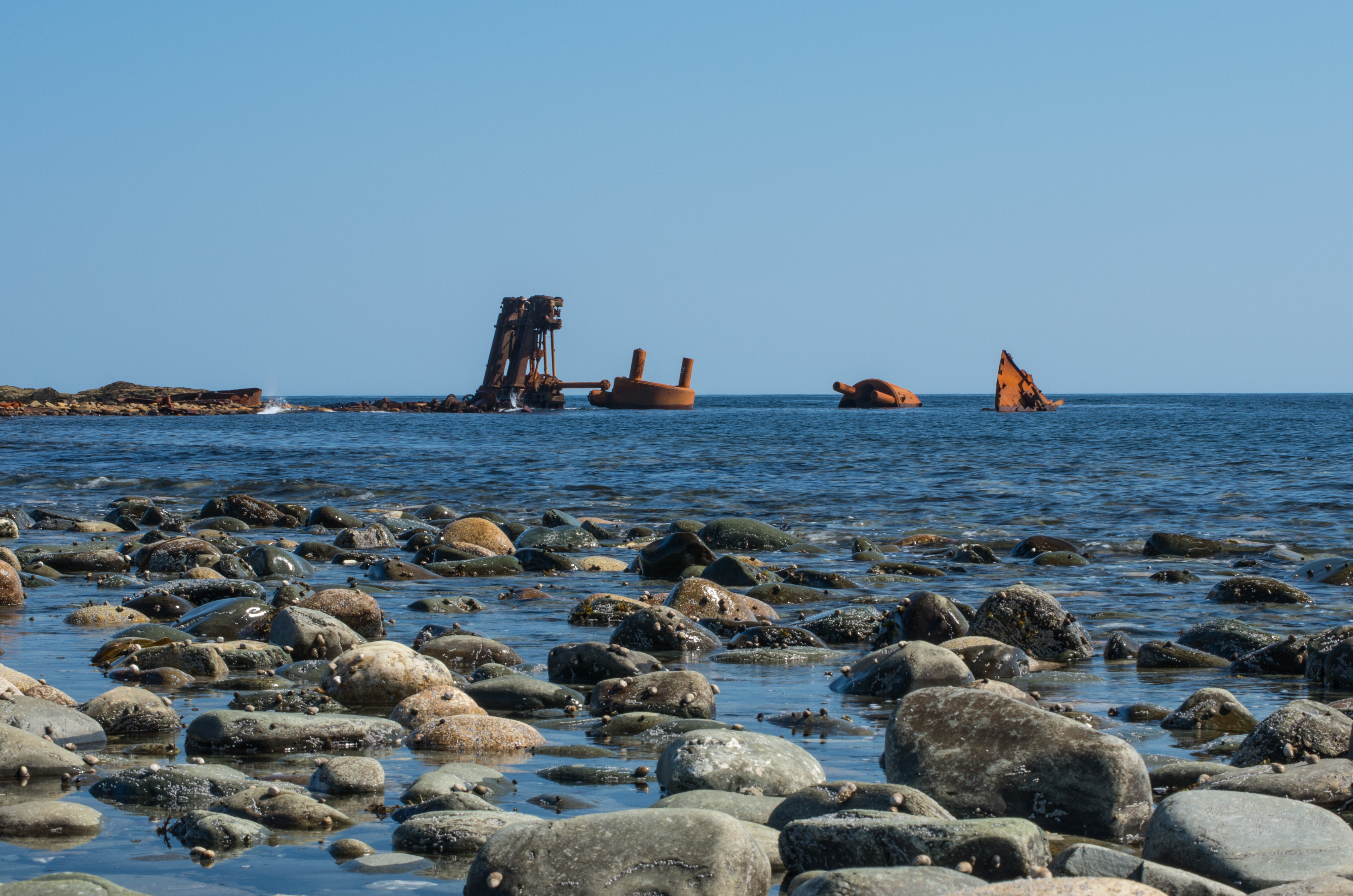
Shipwreck of the Fury
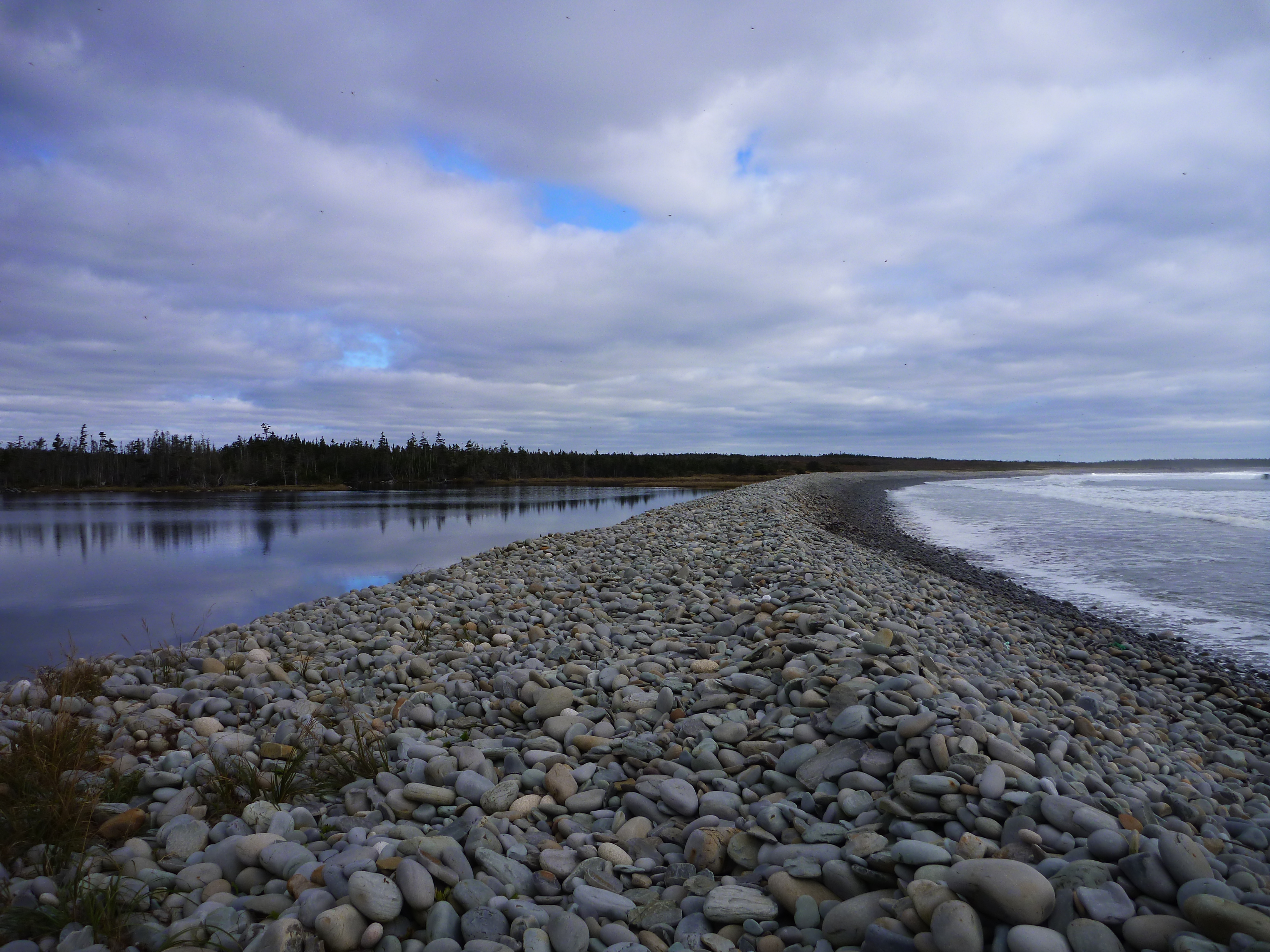
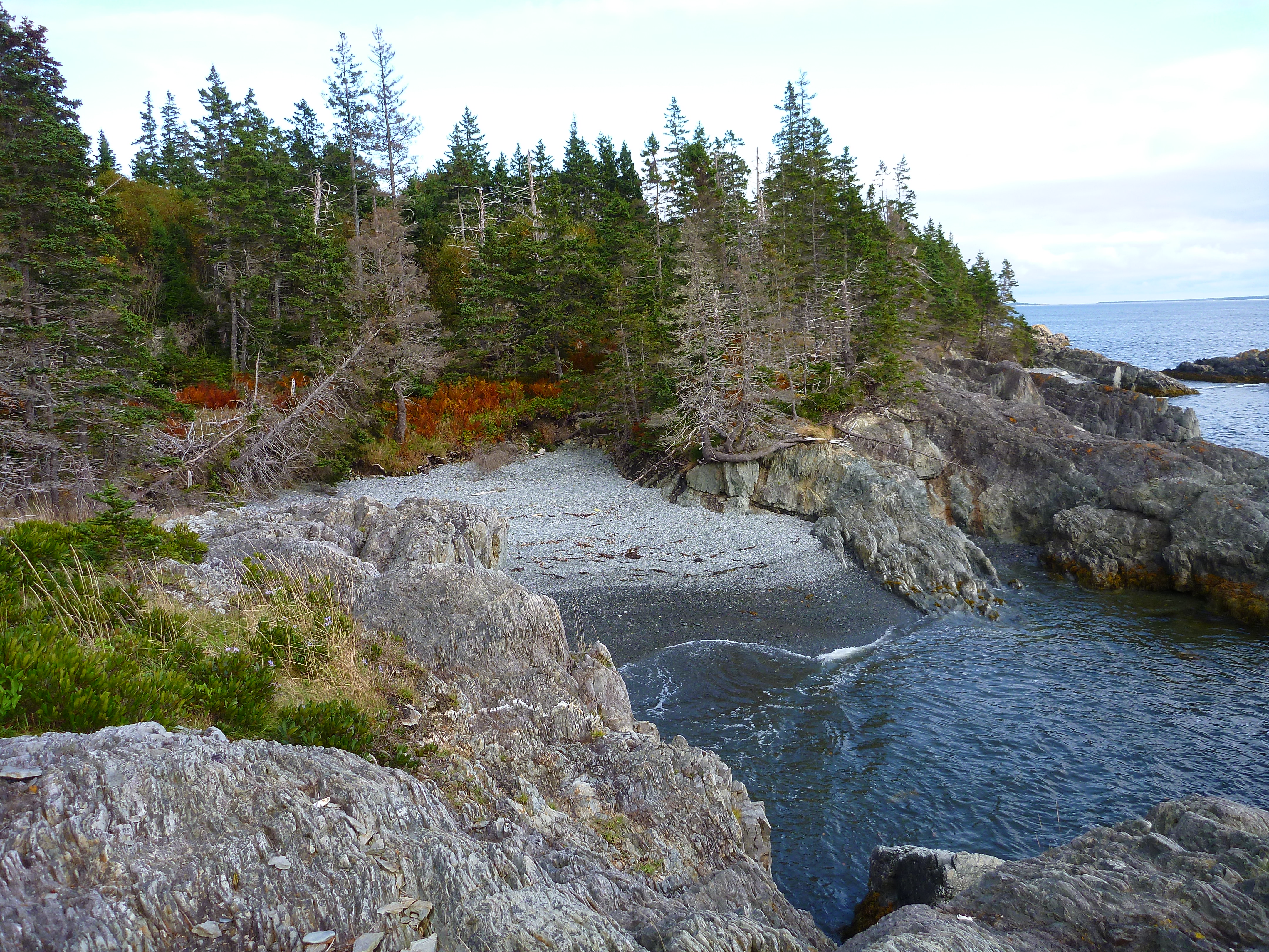
Port Beckerton Beach and lake
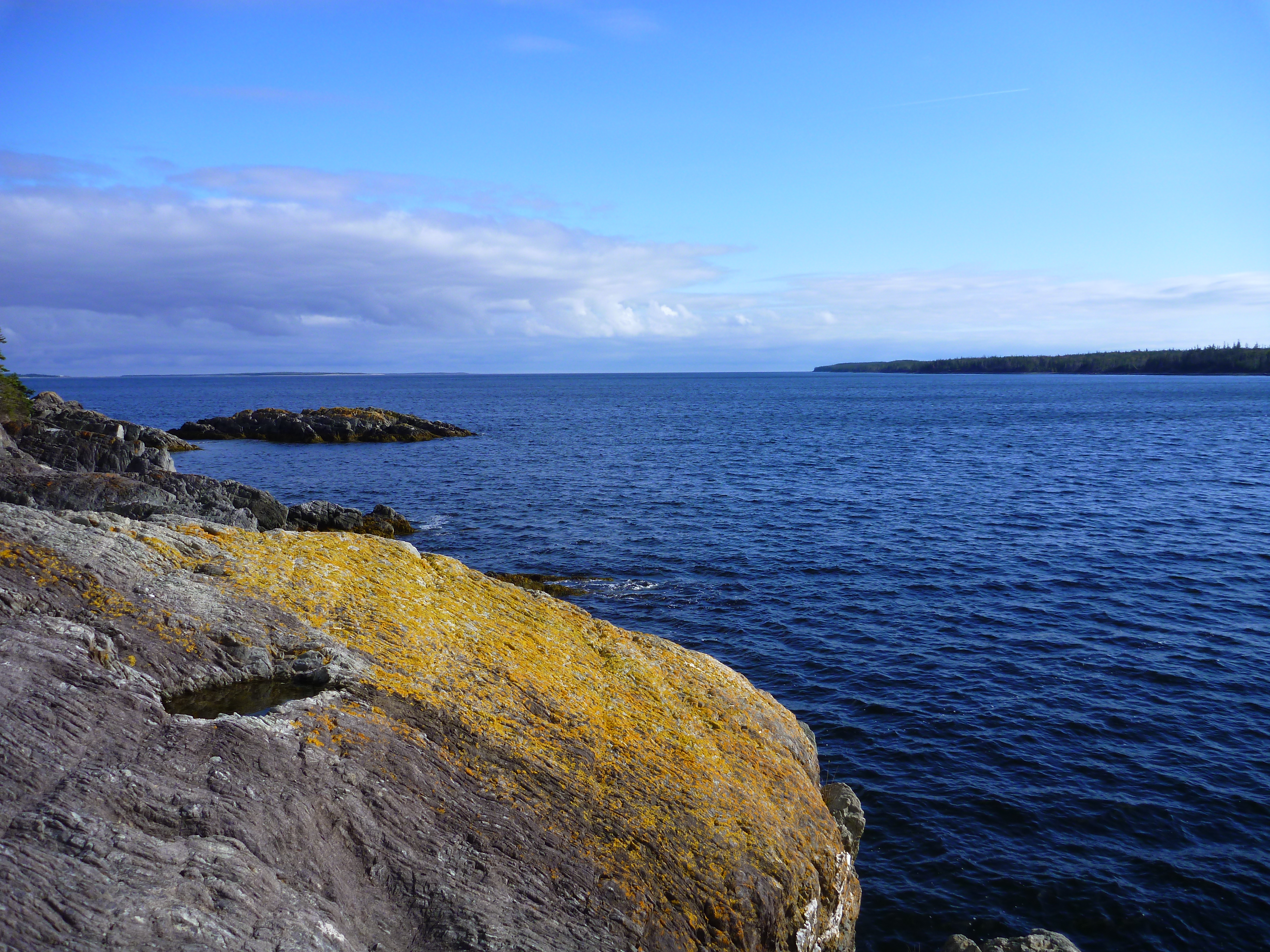
Country Harbour

Country Harbour
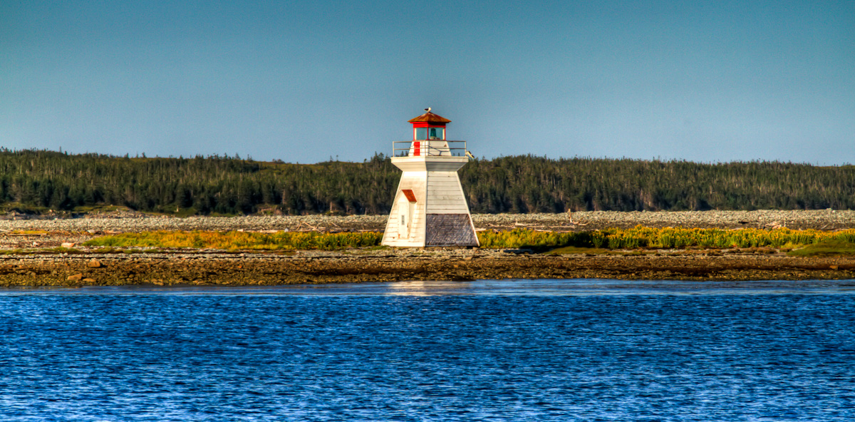
Fisherman's Harbour Lighthouse
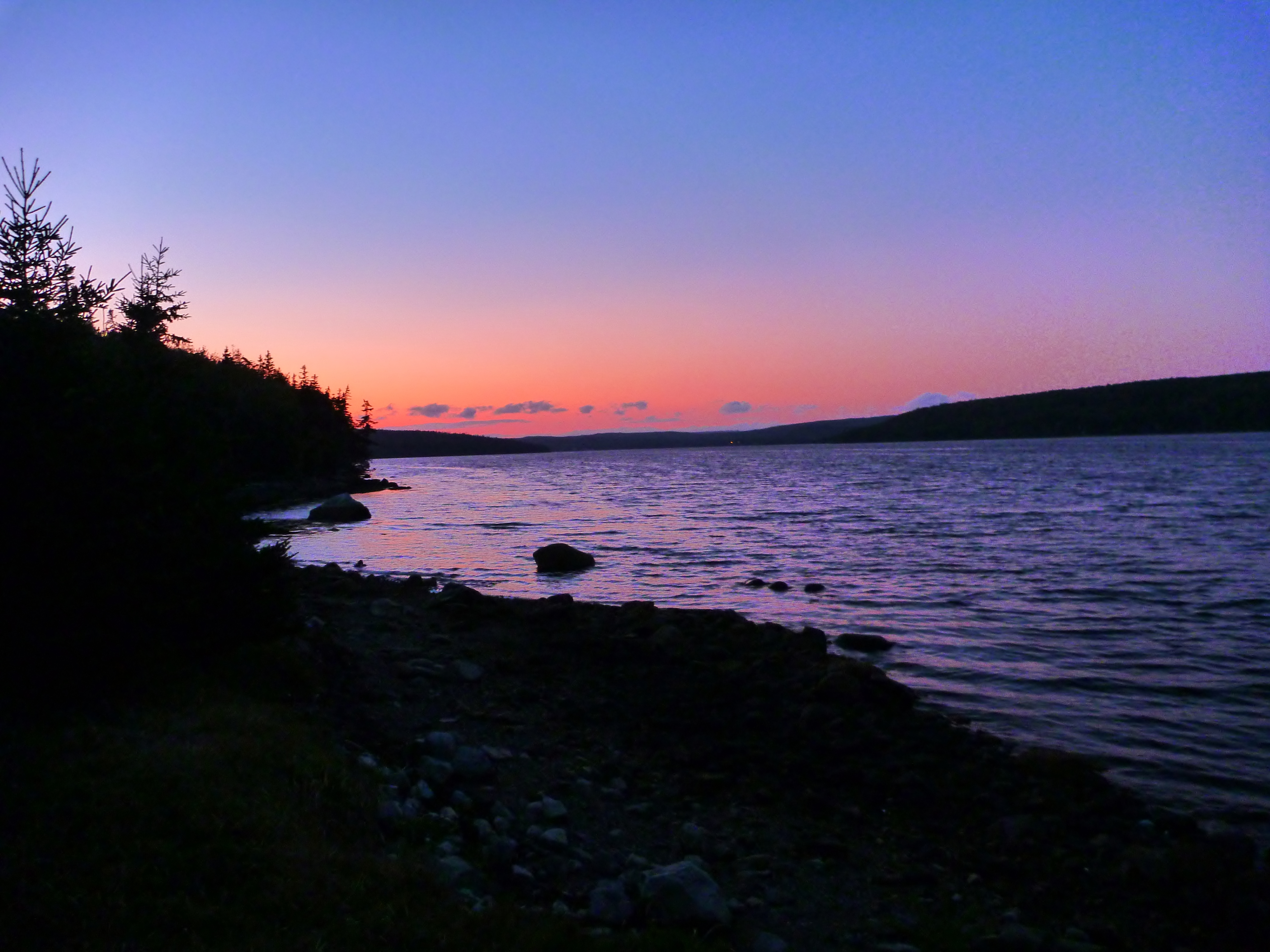
Sunset at Mount Misery
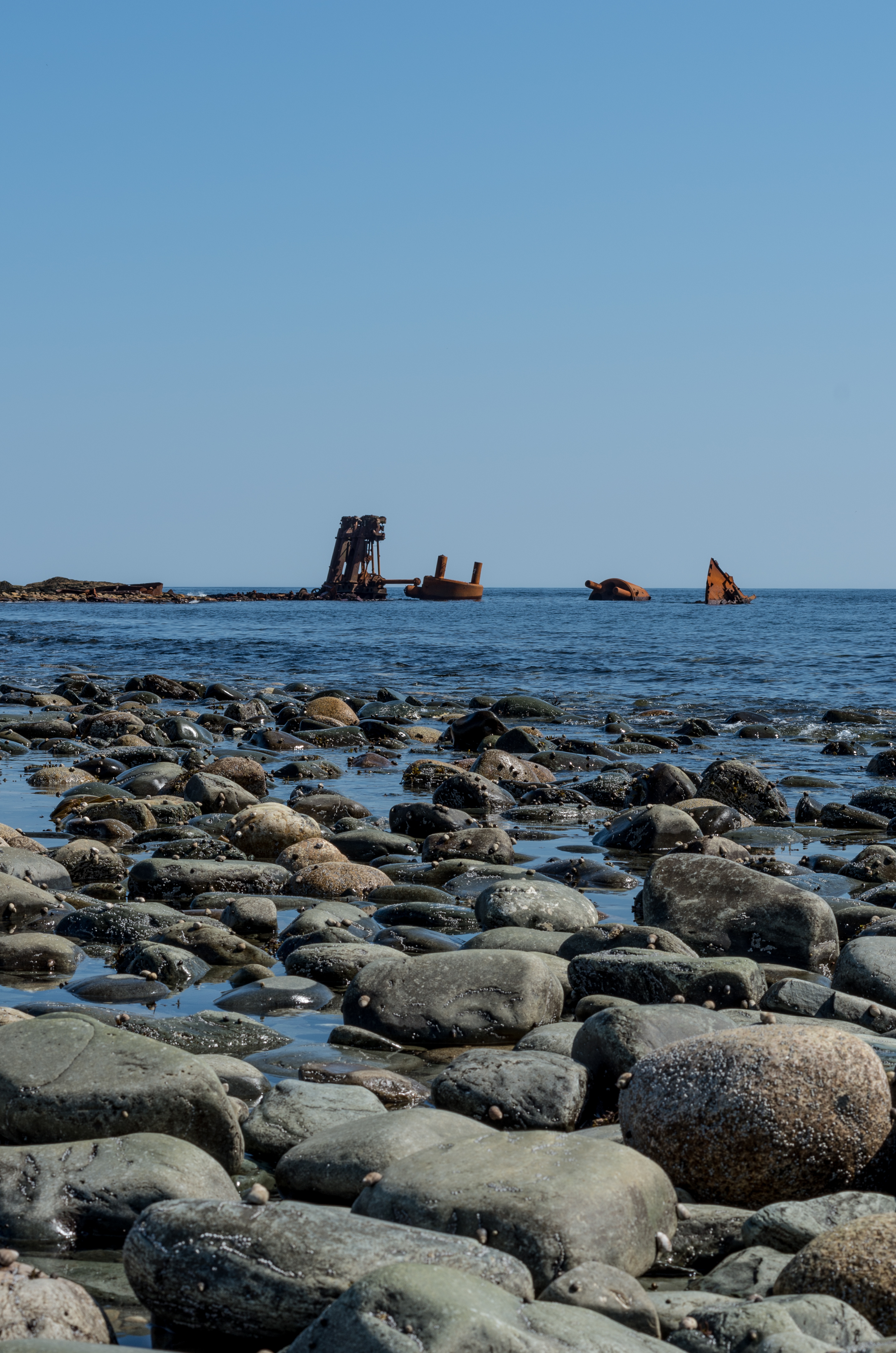
Shipwreck of the Fury
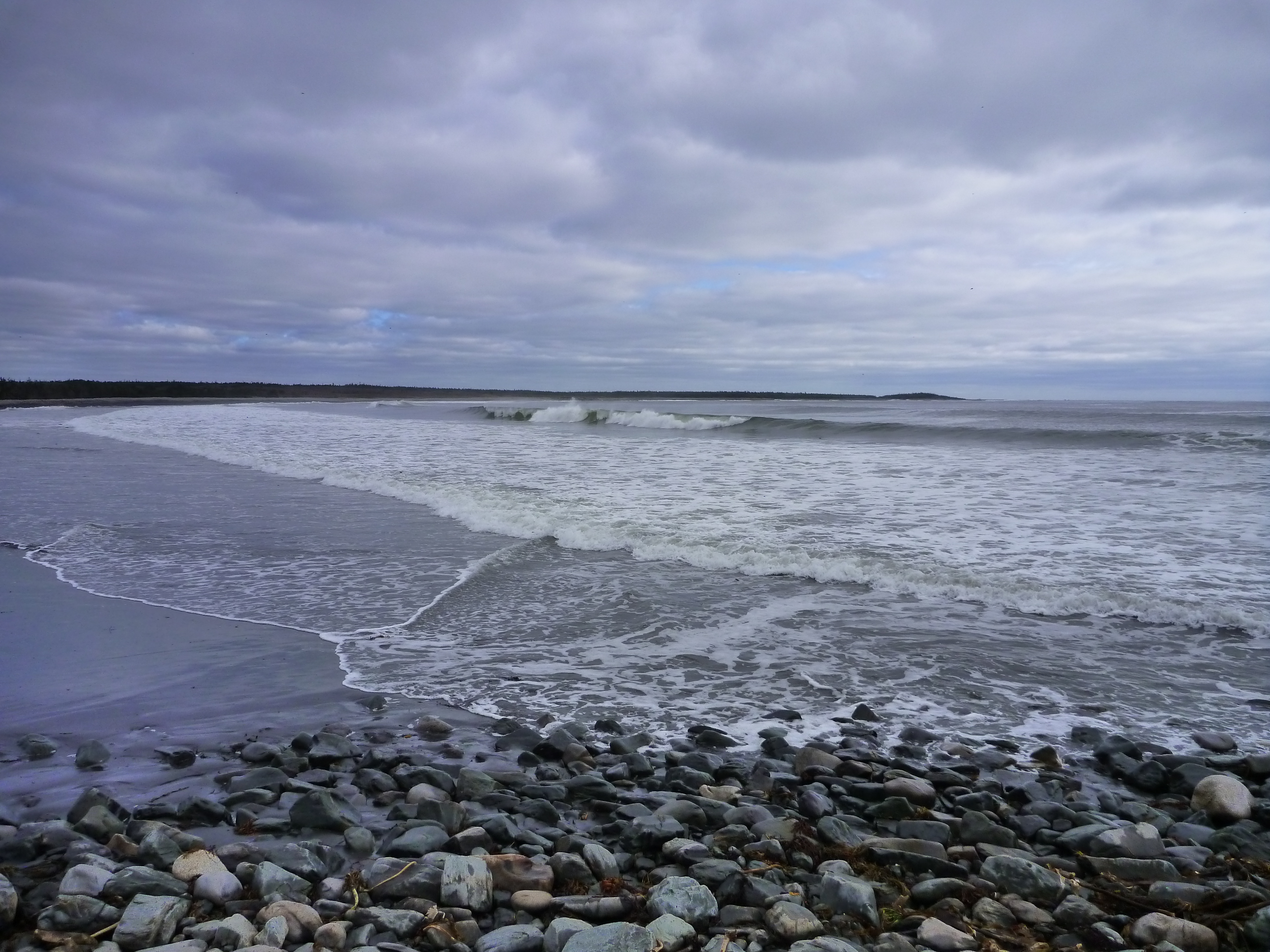
Port Beckerton Beach
Country Harbour
Shipwreck of the Fury
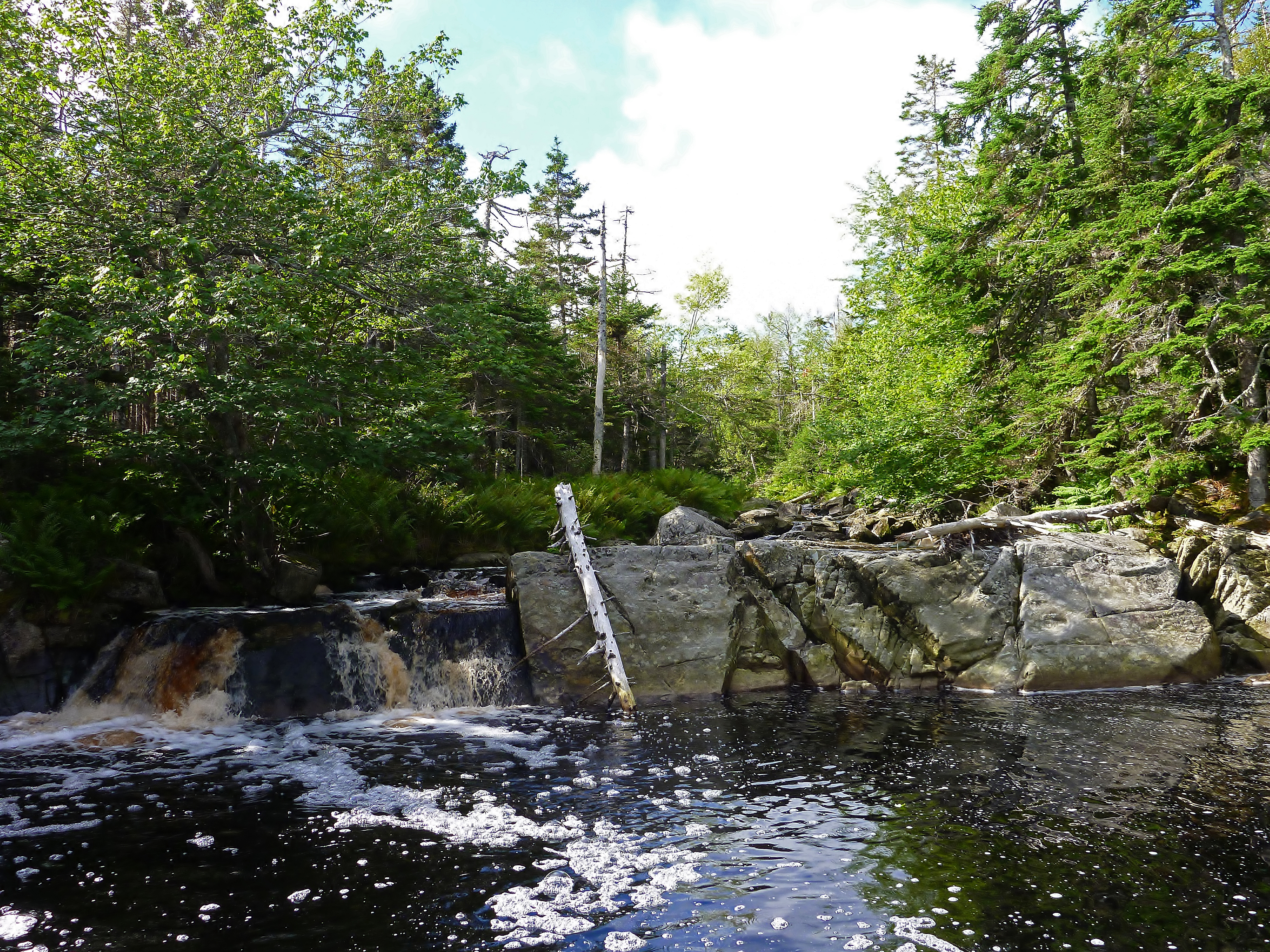
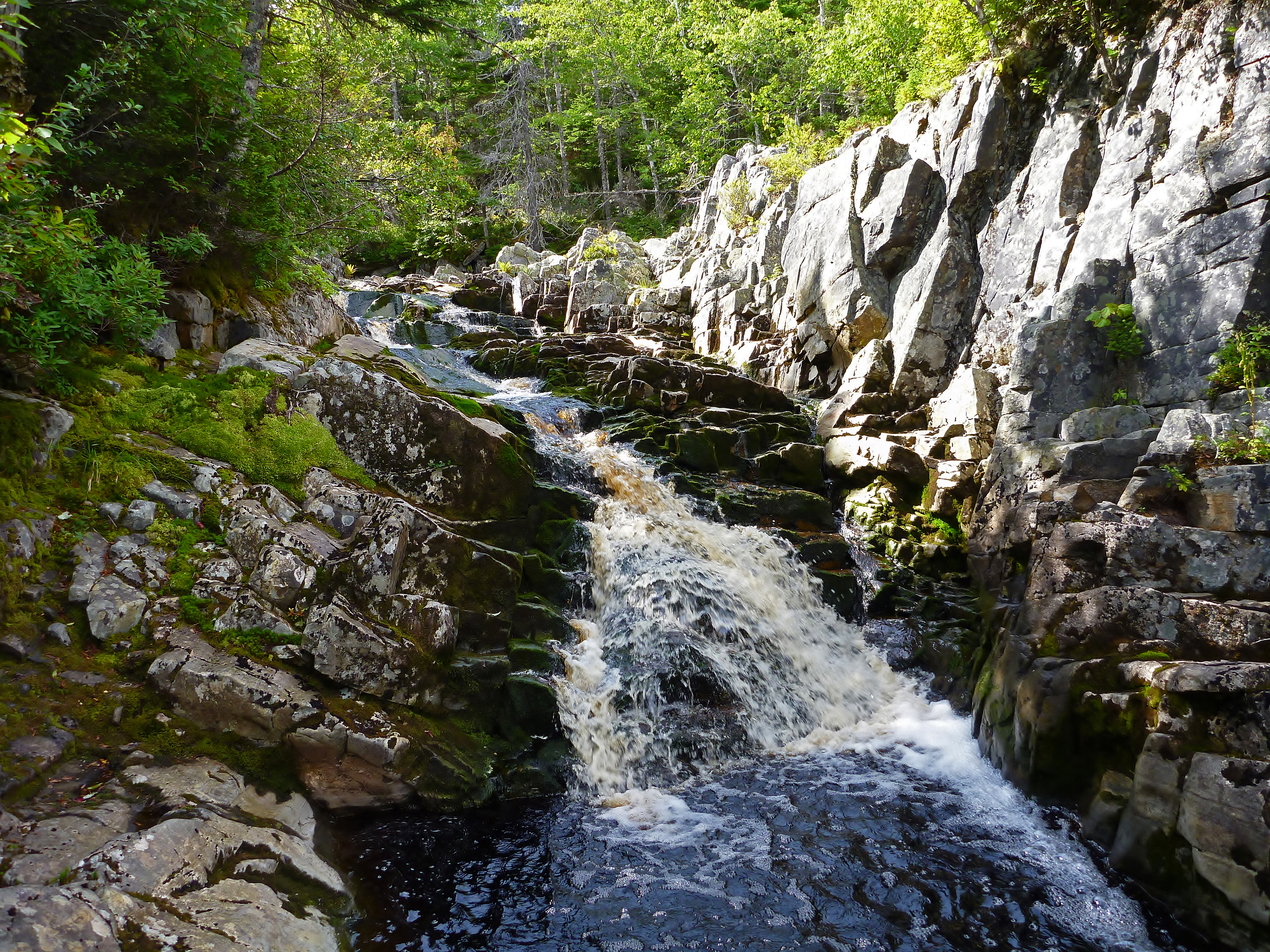
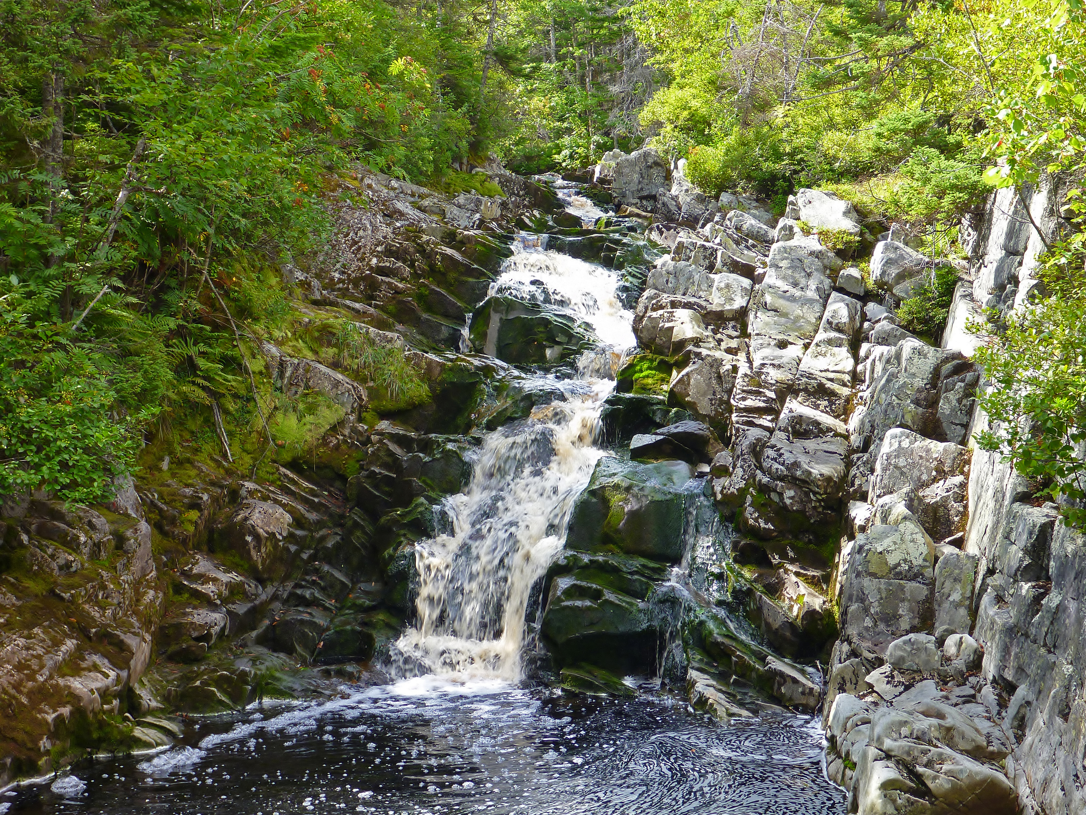
Quince Brook Falls 2
Carding Mill Brook at Mount MIsery 3
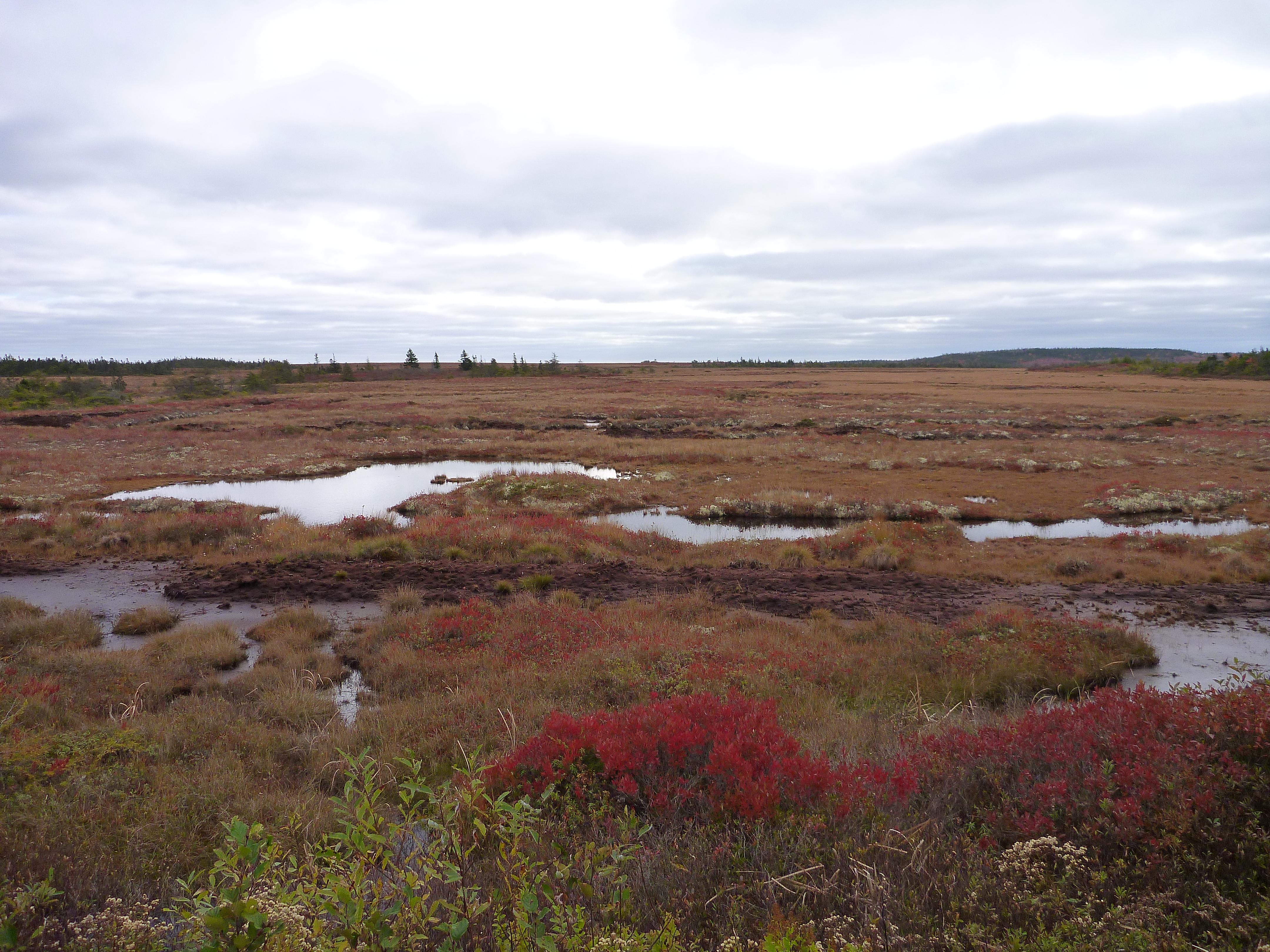
Quinces Peat Bog
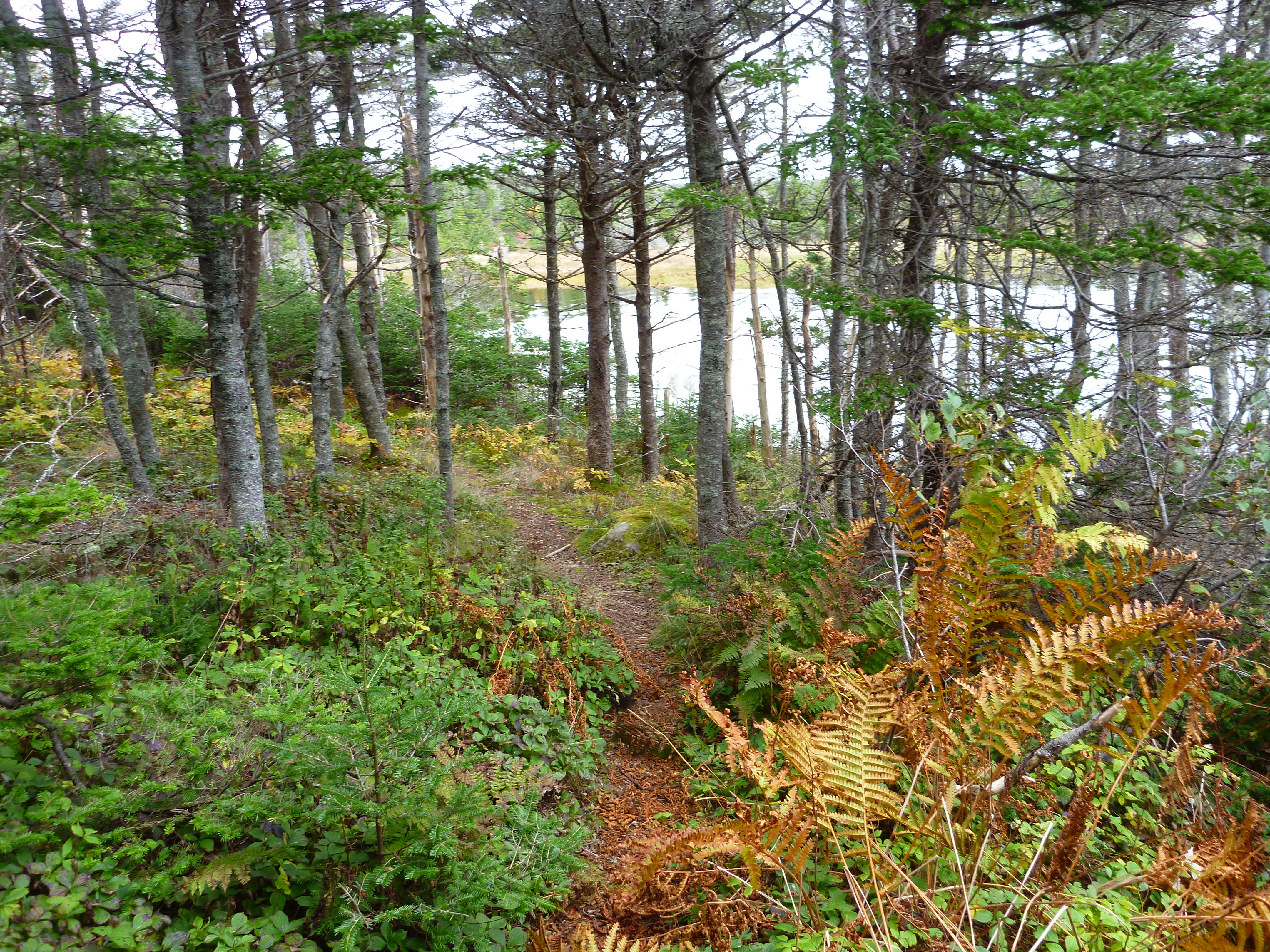
Port Beckerton Hiking Trails (2)
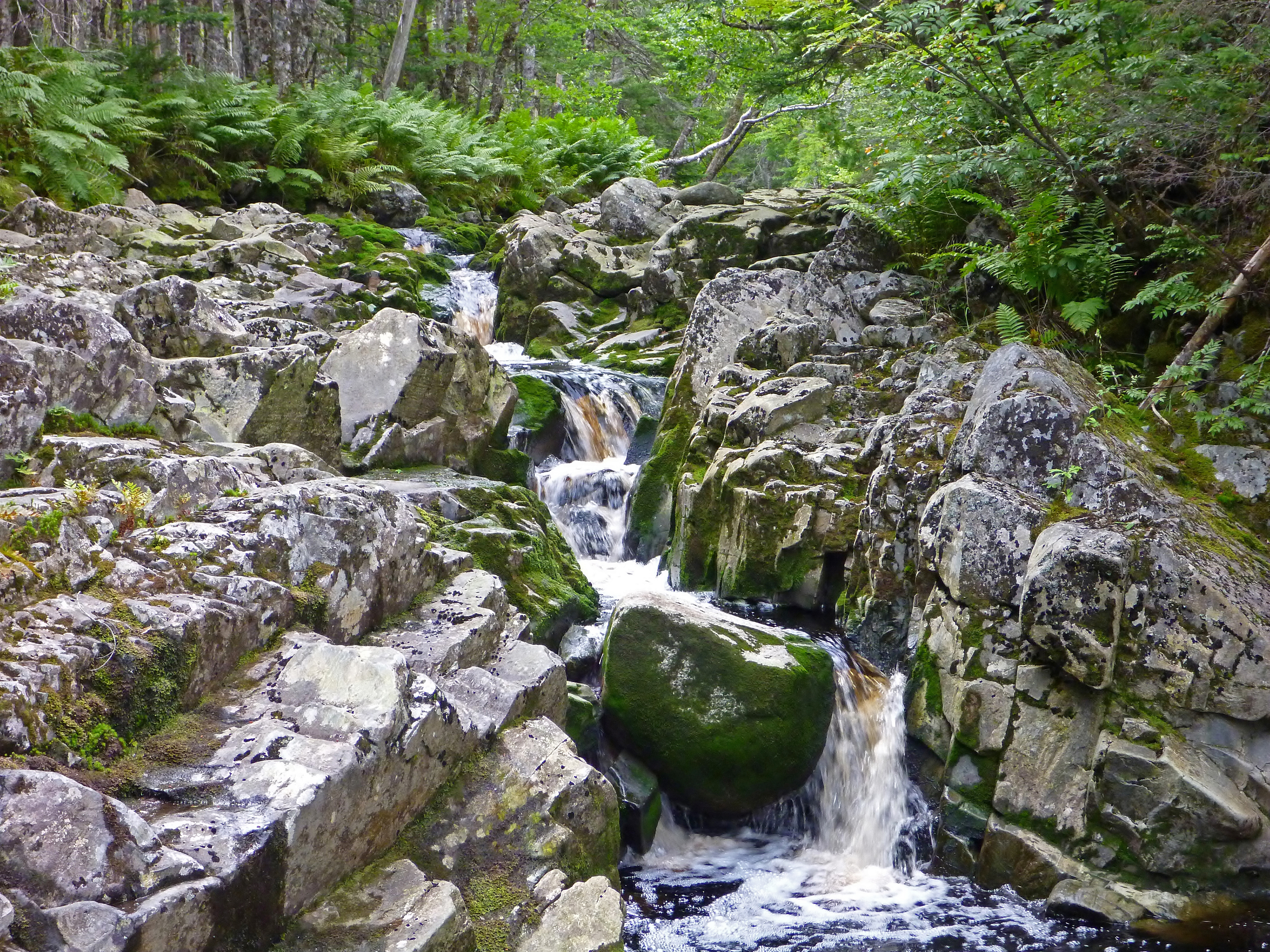
Carding Mill Brook at Mount Misery 2
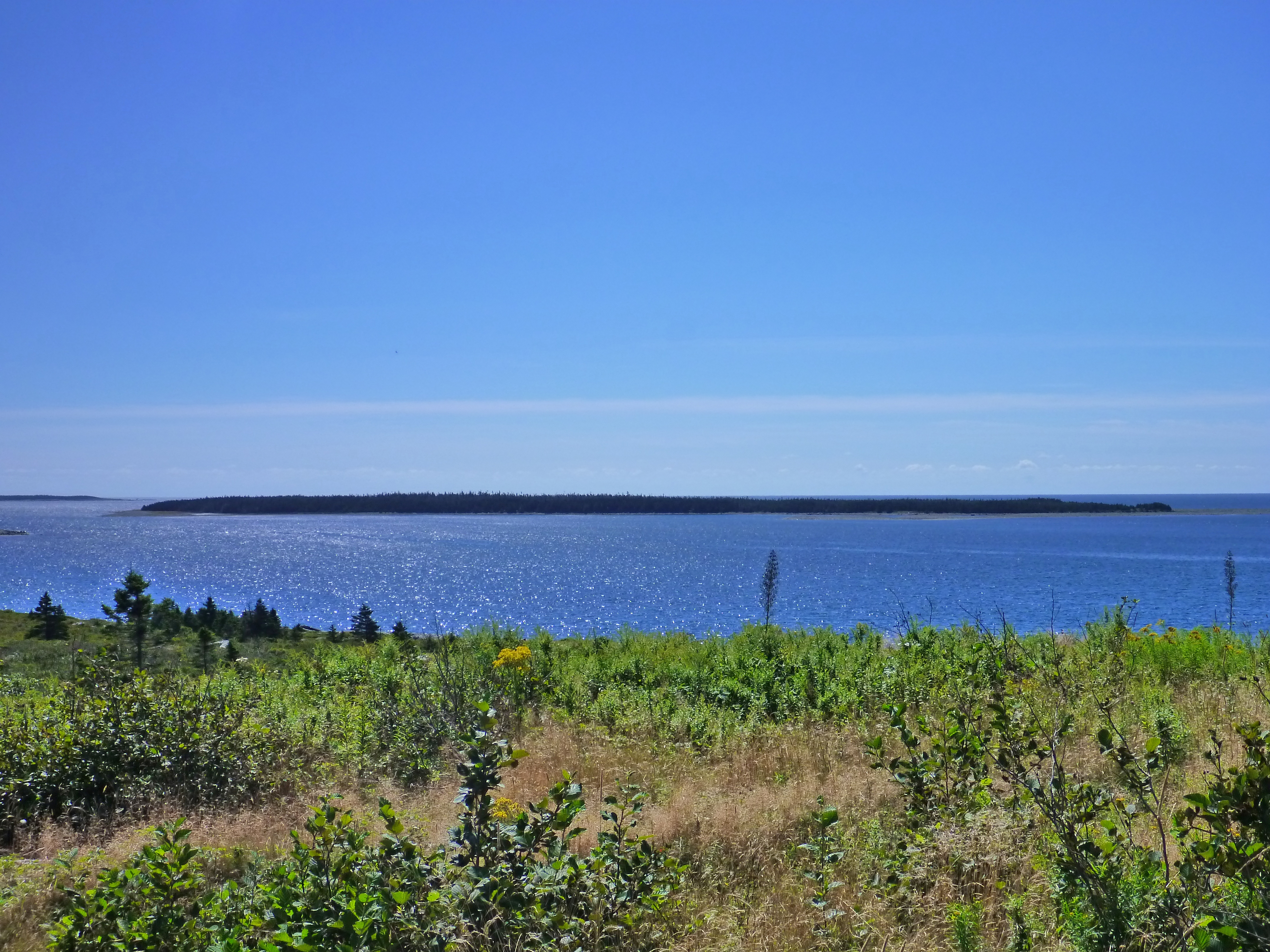
Port Island from Drumhead
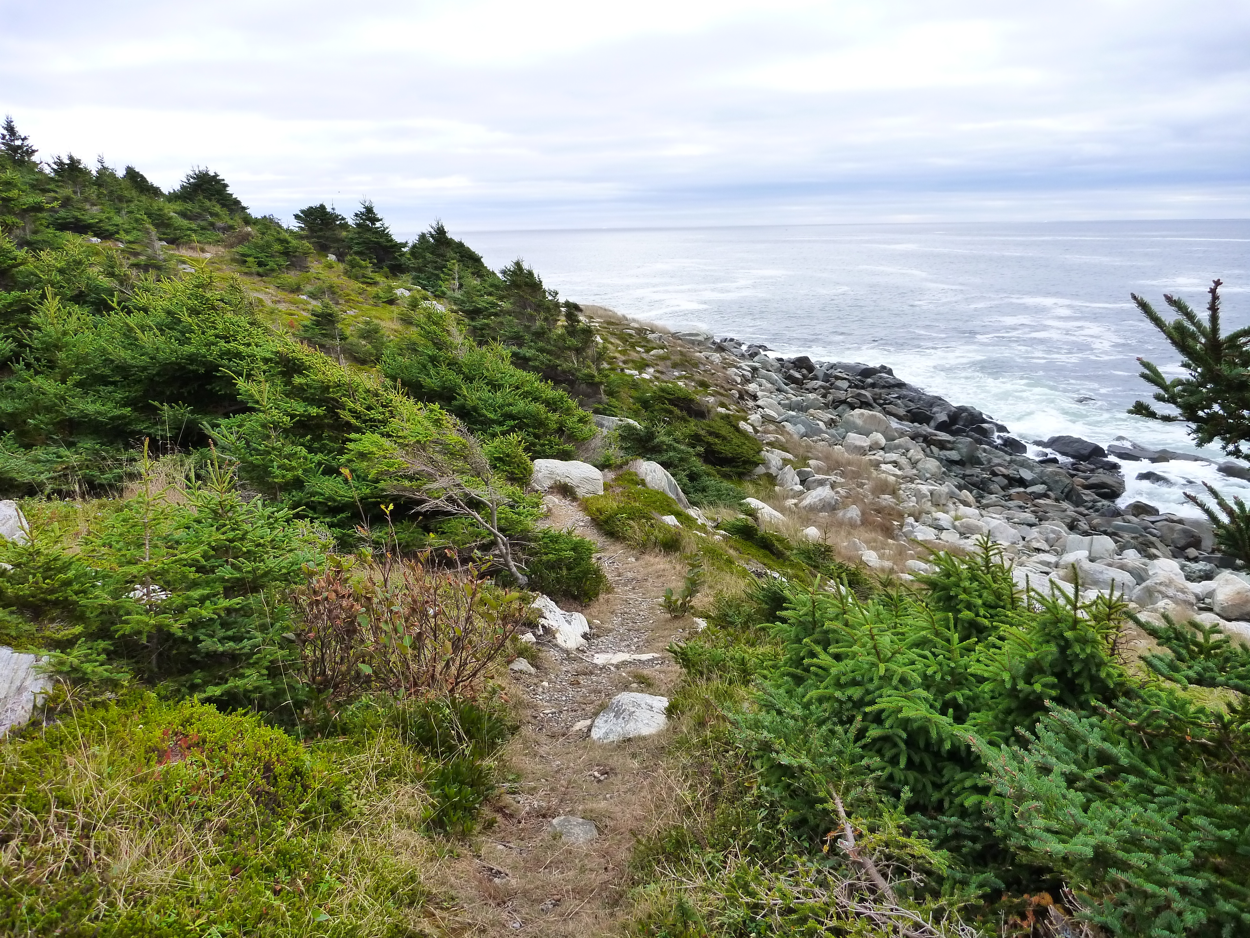
Port Beckerton Hiking Trails (1)
Carding Mill Brook at Mount MIsery
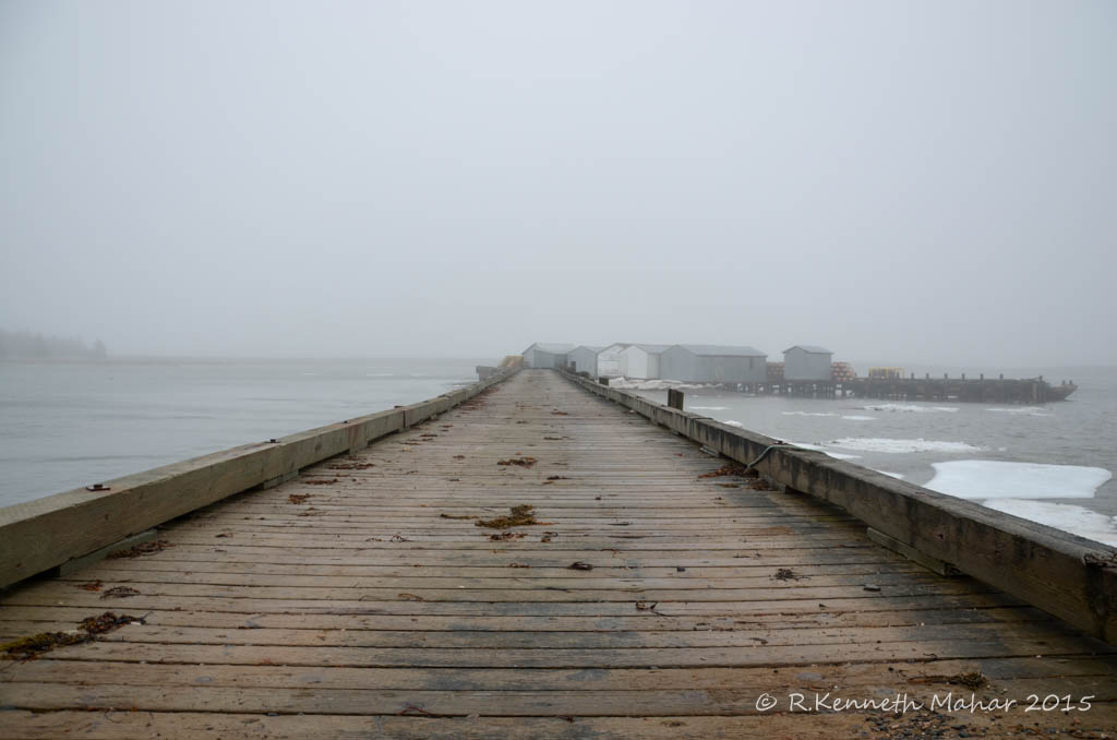
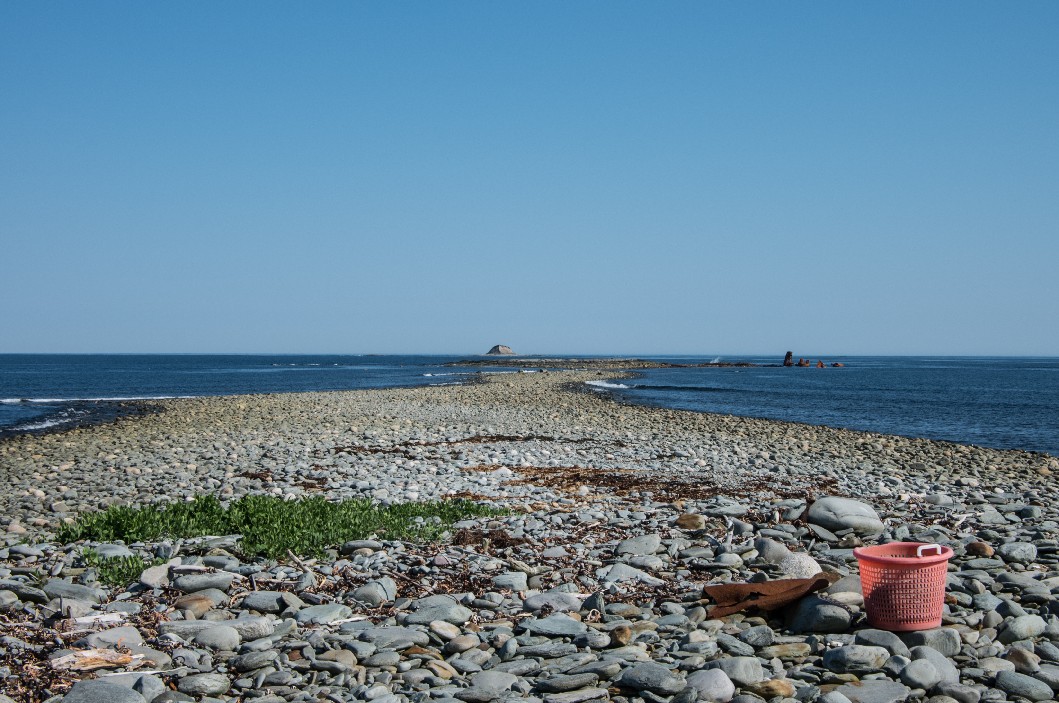
Wine Harbour Wharf
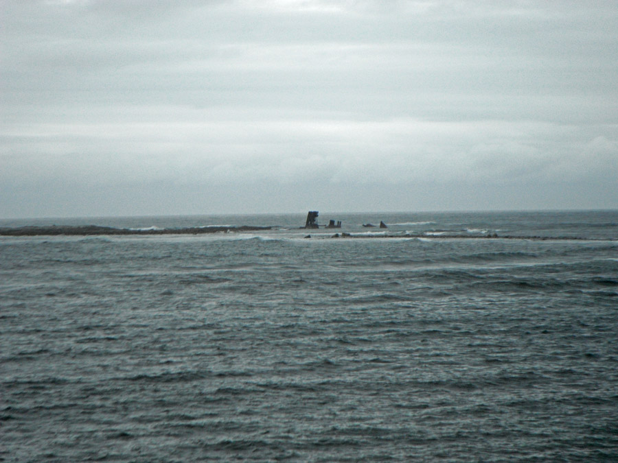
Wreck of the S.S. Fury
Topographic Map of Artinsula Rd, Sherbrooke, NS B0J 3C0, Canada
Find elevation by address:

Places near Artinsula Rd, Sherbrooke, NS B0J 3C0, Canada:
308 Holland Harbor Rd
12 Holland Harbor Rd
2 Port Bickerton Village Rd, Sherbrooke, NS B0J 3C0, Canada
5 Mills Hill Rd, Sherbrooke, NS B0J 3C0, Canada
Fishermans Harbour
Fishermans Harbour Rd, Fishermans Harbour, NS B0J 1M0, Canada
Country Harbour
42 Macmillan Hill Rd
288 Isaacs Harbour Rd
Goldboro
Country Hbr Gun Club
66 Drum Head Rd, Goldboro, NS B0H 1L0, Canada
Guysborough County
Tom Mann Lake
72 Point of the Clear Rd S, Goldboro, NS B0H 1L0, Canada
Seal Harbour
Seal Harbour Rd, Goldboro, NS B0H 1L0, Canada
Forest Hill
NS-, Goldboro, NS B0H 1L0, Canada
Amos Gillies Rd, Larrys River, NS B0H 1T0, Canada
Recent Searches:
- Elevation of Lampiasi St, Sarasota, FL, USA
- Elevation of Elwyn Dr, Roanoke Rapids, NC, USA
- Elevation of Congressional Dr, Stevensville, MD, USA
- Elevation of Bellview Rd, McLean, VA, USA
- Elevation of Stage Island Rd, Chatham, MA, USA
- Elevation of Shibuya Scramble Crossing, 21 Udagawacho, Shibuya City, Tokyo -, Japan
- Elevation of Jadagoniai, Kaunas District Municipality, Lithuania
- Elevation of Pagonija rock, Kranto 7-oji g. 8"N, Kaunas, Lithuania
- Elevation of Co Rd 87, Jamestown, CO, USA
- Elevation of Tenjo, Cundinamarca, Colombia