Elevation of AR-, Jacksonville, AR, USA
Location: United States > Arkansas > Pulaski County > Hill Township > Jacksonville >
Longitude: -92.155106
Latitude: 34.9520685
Elevation: 92m / 302feet
Barometric Pressure: 100KPa
Elevation Map:
Satellite Map:
Related Photos:

Left-Face, Scarecrow!

wonky religious views

Memorial As Seen From Committal Area

Goodness of Bread and Honey

Across The Pond
The "View"
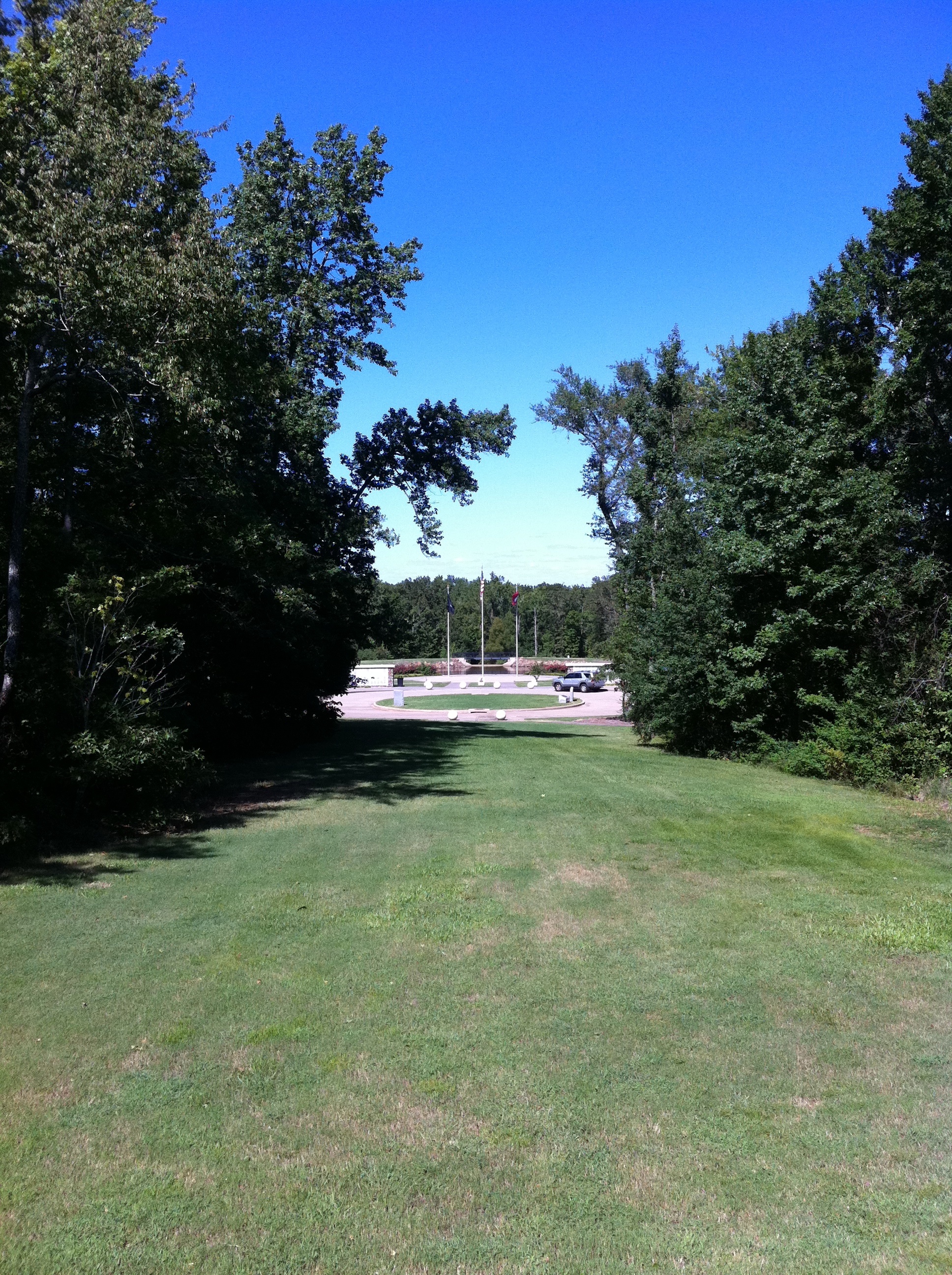
Memorial View from Administration Building

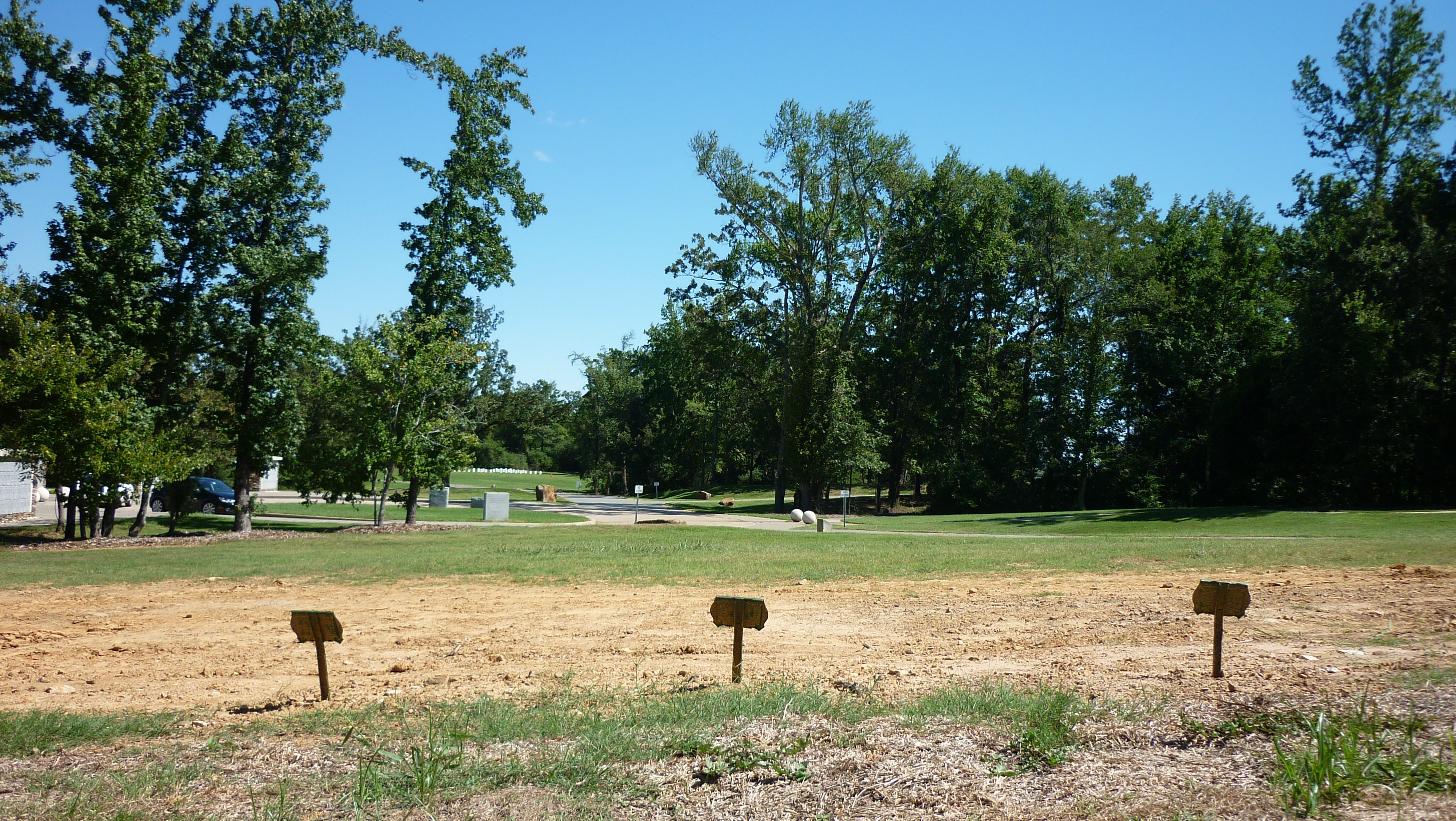
Looking Back to the Committal Shelter

Orange Foggy Sunrise
Realized the other day that 90% of my shots are outdoors. I'm OK with that—I'd rather be outdoors 90% of the time.
I took Liam to some pretty neat caverns yesterday. It was his first time; he loved it. They weren't allowing anyone to take anything inside the caves because of the bat's White-Nose Syndrome, but... #cavestagram
Topographic Map of AR-, Jacksonville, AR, USA
Find elevation by address:

Places near AR-, Jacksonville, AR, USA:
28122 Ar-107
AR-, Jacksonville, AR, USA
7130 Haynie Rd
Cannongate Dr, Cabot, AR, USA
Co Rd 67, Sherwood, AR, USA
4230 Wolf Creek Ct
Precision Auto Service
Jacksonville
1101 Stone St
5 Oneida St
Jacksonville-Cato Rd, Sherwood, AR, USA
1 Oneida St
7153 Gap Meadows Dr
125 Dennis Ln
12 Mohave St, Sherwood, AR, USA
6808 Austin Harbor Loop
Witts Dr, Sherwood, AR, USA
10036 Farris Ave
9213 Woodbine Dr
9019 Woodbine Dr
Recent Searches:
- Elevation of Calais Dr, Del Mar, CA, USA
- Elevation of Placer Mine Ln, West Jordan, UT, USA
- Elevation of E 63rd St, New York, NY, USA
- Elevation of Elk City, OK, USA
- Elevation of Erika Dr, Windsor, CA, USA
- Elevation of Village Ln, Finleyville, PA, USA
- Elevation of 24 Oakland Rd #, Scotland, ON N0E 1R0, Canada
- Elevation of Deep Gap Farm Rd E, Mill Spring, NC, USA
- Elevation of Dog Leg Dr, Minden, NV, USA
- Elevation of Dog Leg Dr, Minden, NV, USA