Elevation of AR-, Combs, AR, USA

Location: United States > Arkansas > Madison County > Mill Creek Township >

Longitude: -93.806971

Latitude: 35.8496499

Elevation: 508m / 1667feet

Barometric Pressure: 95KPa

Elevation Map:

elevation map of AR-, Combs, AR, USA

Satellite Map:

Satellite map of AR-, Combs, AR, USA

Related Photos:

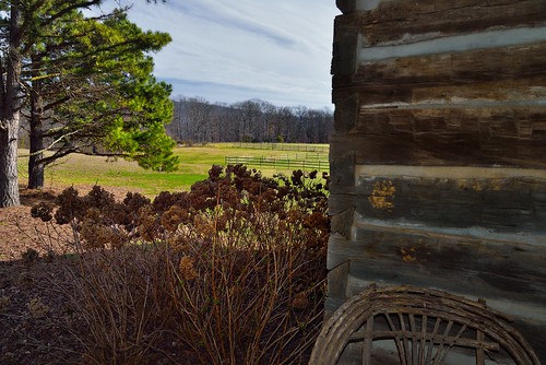
capturenx2edited chair colorefexpro day3 evergreens flashused frontporcharea grassyfield grassymeadow hillsideoftrees hillsides landscape lodgemainroom lodgestayedatmulberrymountainlodgingevents logcabin lookingne mulberrymountainlodgingevents nature nikond800e outside ozarknationalforest ozarkstfrancisnationalforests portfolio project365 rollinghillsides slightovercast sunny trees triptoozarknationalforestandmountains wickerpatiochair ozark arkansas unitedstates
A Front Porch View to a Meadow and Forest Beyond
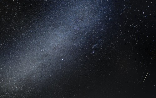
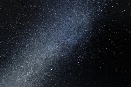
alnilam alnitak asterism bandoflight beltoforion capturenx2edited colorefexpro constellationorion day1 fieldatmulberrymountainlodgingevents galacticplane greatrift hazybandofwhitelight landscape localarm localspur lookingsw milkyway mintaka mulberrymountainlodgingevents nature nightsky nighttimephotography nikond800e orionarm orionbridge orionspur orionsbelt orion–cygnusarm outside ozarknationalforest ozarkstfrancisnationalforests project365 satellitetrail starrynight starryskies stars threekings threesisters triptoozarknationalforestandmountains vialactea arkansas unitedstates
Standing Under a Starry Night
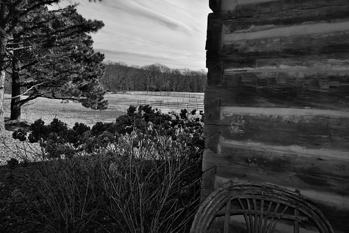
blackwhite capturenx2edited chair colorefexpro day3 evergreens flashused frontporcharea grassyfield grassymeadow hillsideoftrees hillsides landscape lodgemainroom lodgestayedatmulberrymountainlodgingevents logcabin lookingne mulberrymountainlodgingevents nature nikond800e outside ozarknationalforest ozarkstfrancisnationalforests project365 rollinghillsides slightovercast sunny trees triptoozarknationalforestandmountains wickerpatiochair ozark arkansas unitedstates
A Front Porch View to a Meadow and Forest Beyond (Black & White)
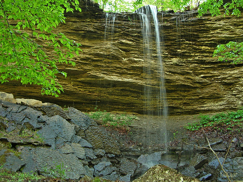
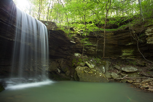
watr tripodtripodphotosarkansaswaterfallsfallsspringgreenbrashearscherrybendcassrocksbluffoverhangpigtrailnationalscenicbywayboxcanyonhighway23hiketrekbeautifulscenerylongexposurebungoballanaturesfinestjuniorwomblediamondclass
"Flickr, Meet Senyard Falls."
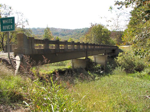
bridges arkansas
Side View-White River Bridge
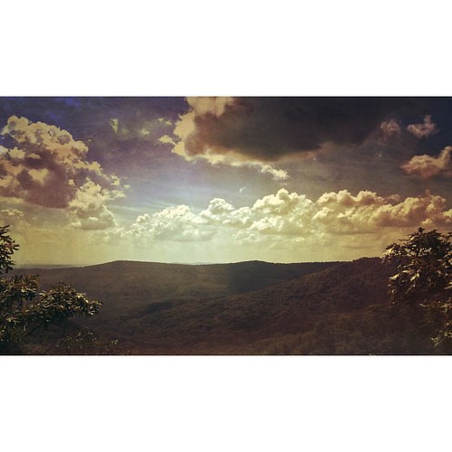
square squareformat iphoneography instagramapp uploaded:by=instagram
Beautiful view #ozarkmountains #mulberrymountain #byrdsadventurecenter
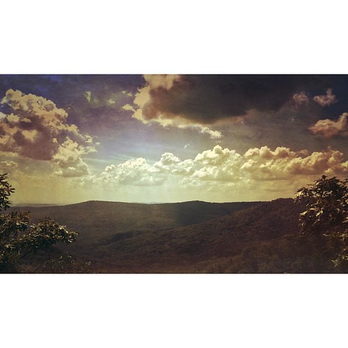
square squareformat iphoneography instagramapp uploaded:by=instagram
Beautiful view #ozarkmountains #mulberrymountain #byrdsadventurecenter
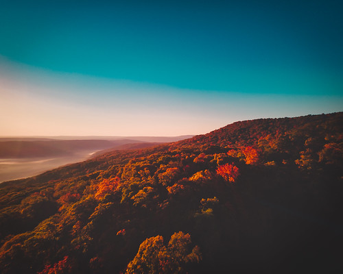
unitedstates arkansas ozark pigtrailscenicbyway autumn fall landscape scenery aerial drone superresolution quadcopter djimavicpro beautiful
Pig Trail Scenic Byway
county mountain canon lens eos franklin pig waterfall zoom spirit mark falls trail ii 5d arkansas usm ef 1740mm f4l img0312
Waterfalls // Grilled Cheese
nikond800e lookingsw ozarknationalforest milkyway day2 orionarm orionðcygnusarm localarm orionbridge localspur orionspur orionsbelt beltoforion threekings threesisters asterism constellationorion alnitak alnilam mintaka triptoozarknationalforestandmountains capturenx2edited colorefexpro ozarkstfrancisnationalforests nighttimephotography starrynight nightsky starryskies stars bandoflight vialactea hazybandofwhitelight greatrift galacticplane outside nature landscape fieldatmulberrymountainlodgingevents mulberrymountainlodgingevents project365 portfolio arkansas unitedstates orion–cygnusarm
Under the Orion Arm of the Milky Way in Ozark National Forest
Hwy.23 fall foliage, Franklin Co.
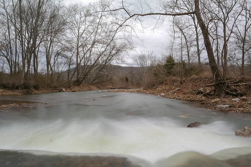
winter usa nature water rock creek forest river stream brook arkansas melt ozarks
On Top of the Fall
winter usa nature water rock creek forest river stream brook arkansas melt ozarks
Snow Melt Long 2
winter usa nature water rock creek forest river stream brook arkansas melt ozarks
Snow Melt Long
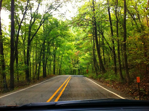
arkansas ozarknationalforest highway23
Highway 23 through Ozark National Forest
Hanging out on the side of the road.
More Big Rocks
Dare you to climb this too
Even More Sky
Dare you to climb this
More Sky
Guess what, more sky