Elevation of Saint Paul, St Paul, AR, USA
Location: United States > Arkansas > Madison County > Hilburn Township >
Longitude: -93.764081
Latitude: 35.8242459
Elevation: 460m / 1509feet
Barometric Pressure: 96KPa
Elevation Map:
Satellite Map:
Related Photos:
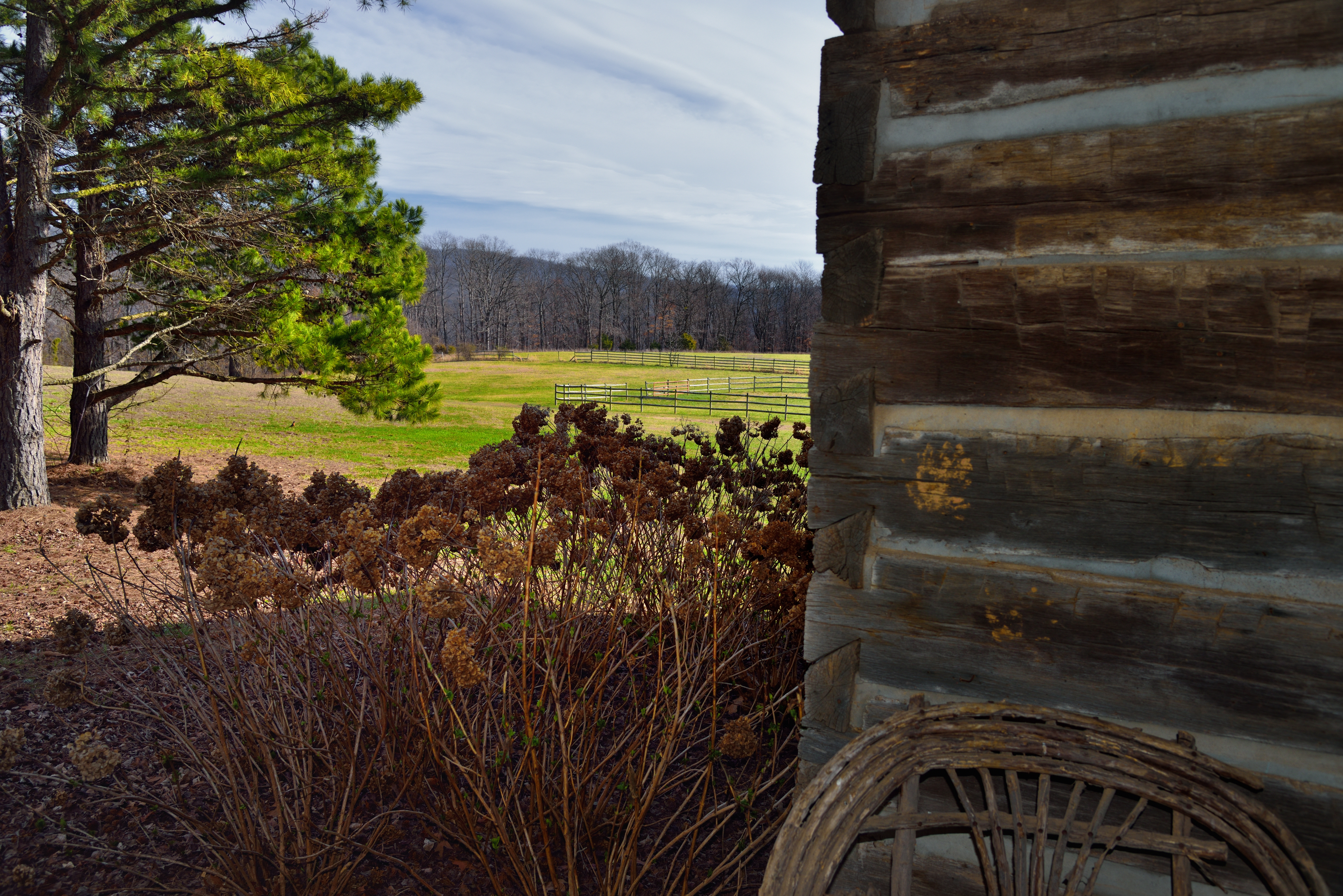
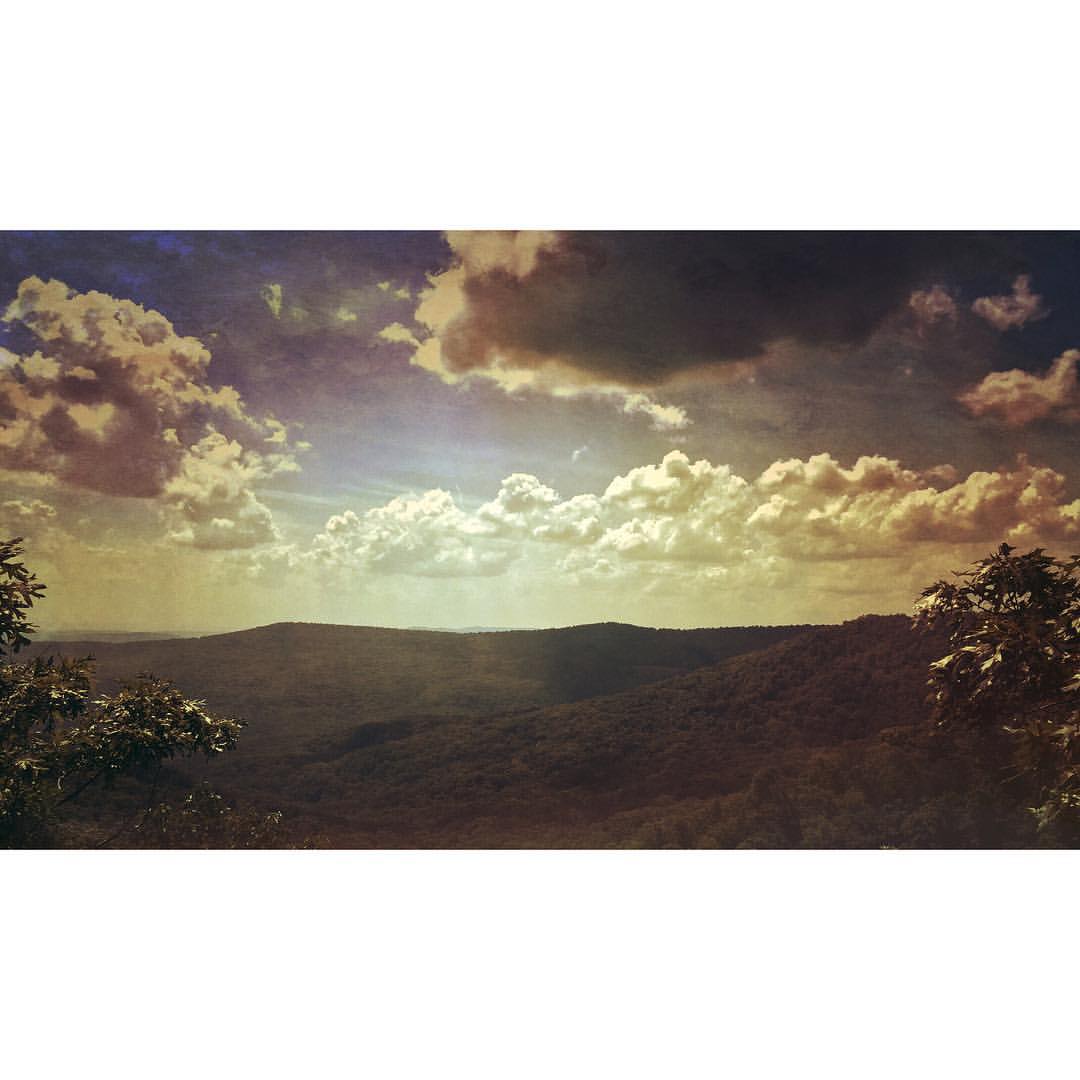
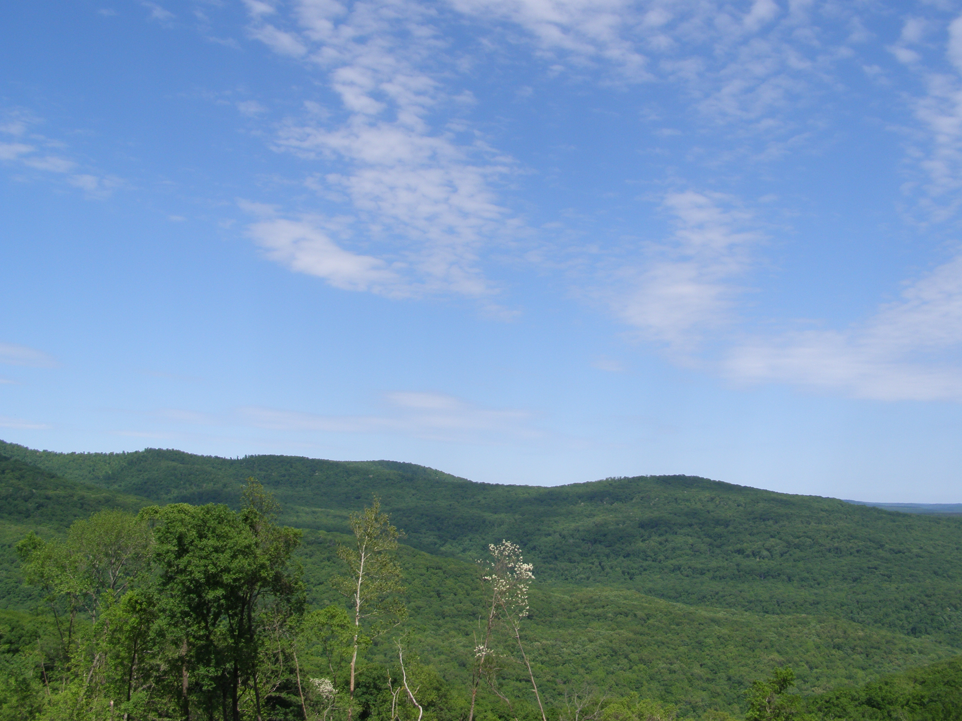
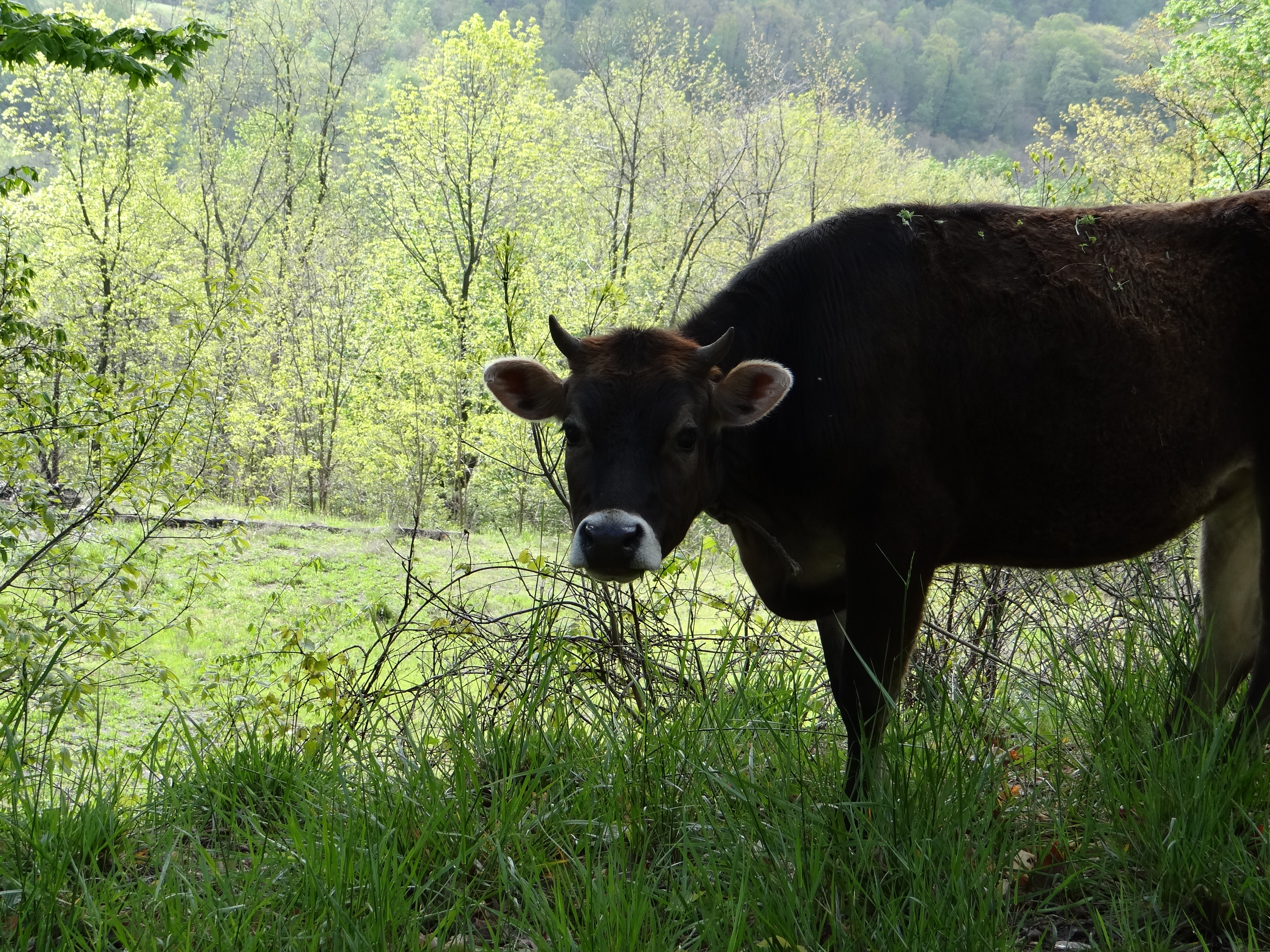
A Front Porch View to a Meadow and Forest Beyond
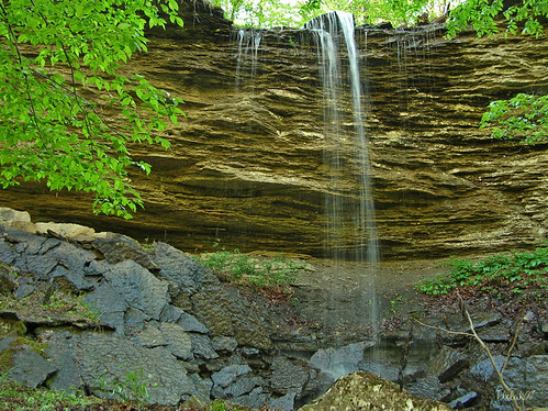
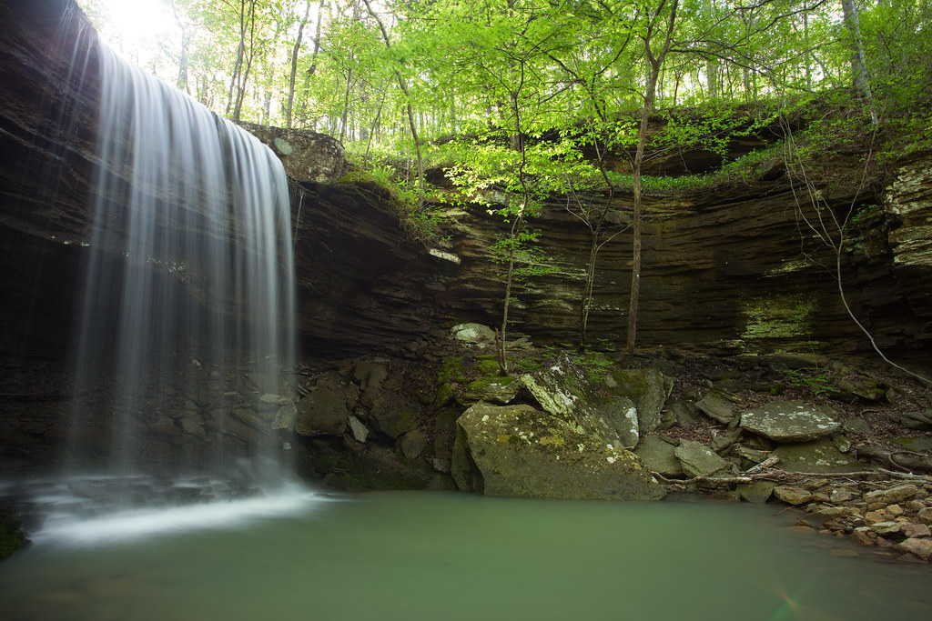
"Flickr, Meet Senyard Falls."

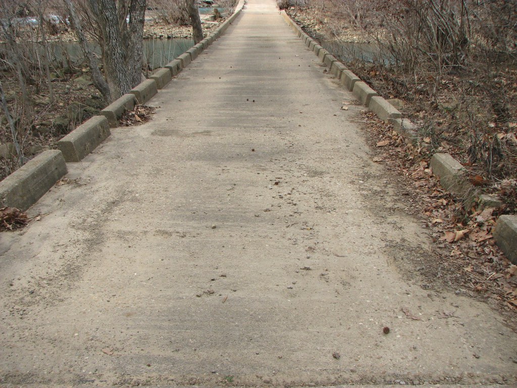
North End: Low Bridge Rd @Mulberry River
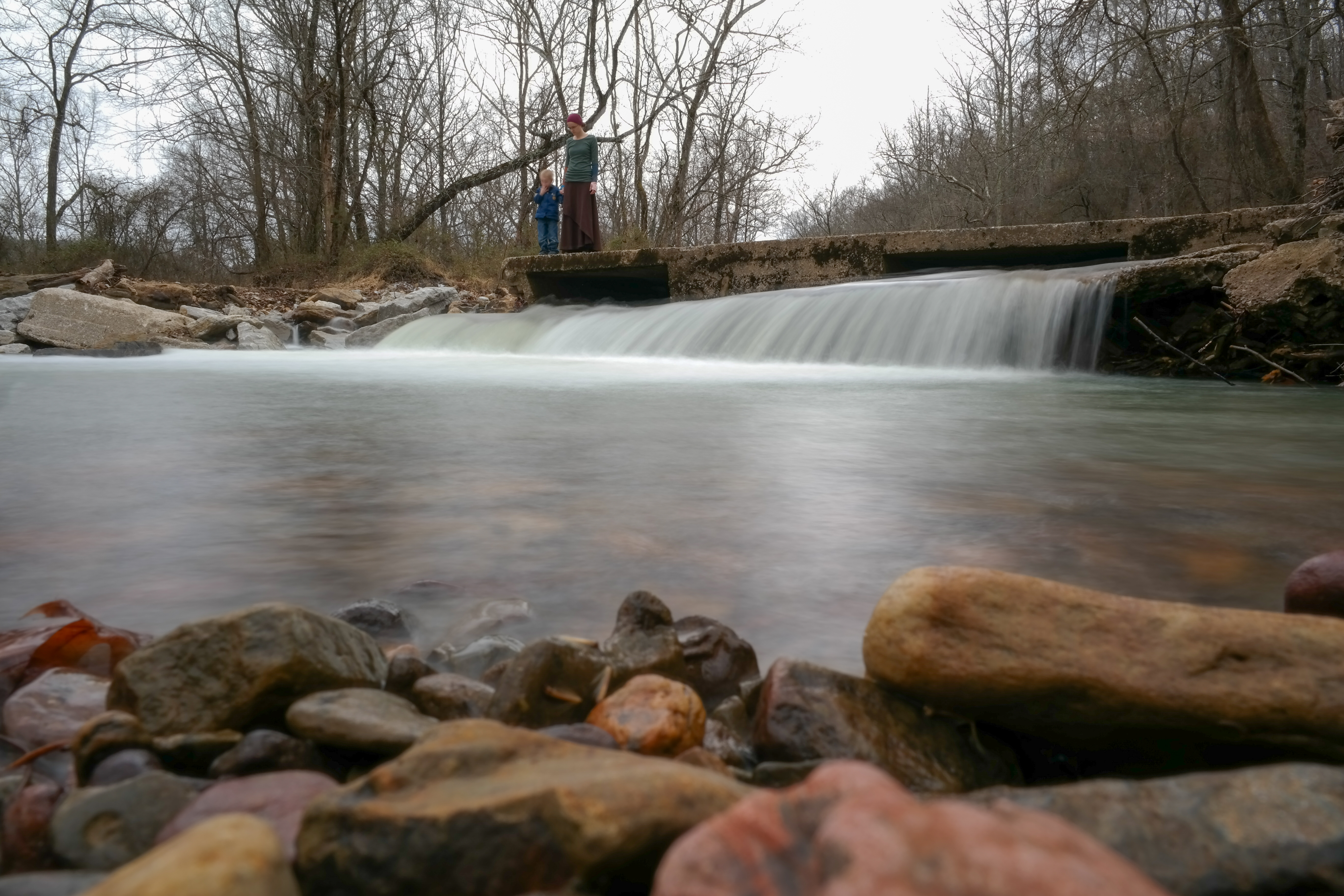
Deck View: Low Bridge Rd @Mulberry River
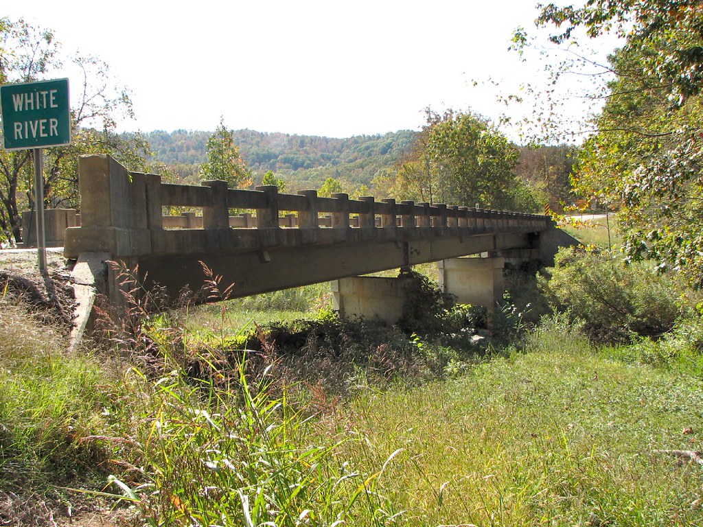
Side View-White River Bridge
Beautiful view #ozarkmountains #mulberrymountain #byrdsadventurecenter

Under the Orion Arm of the Milky Way in Ozark National Forest

Spy Rock Overlook
Waterfalls // Grilled Cheese
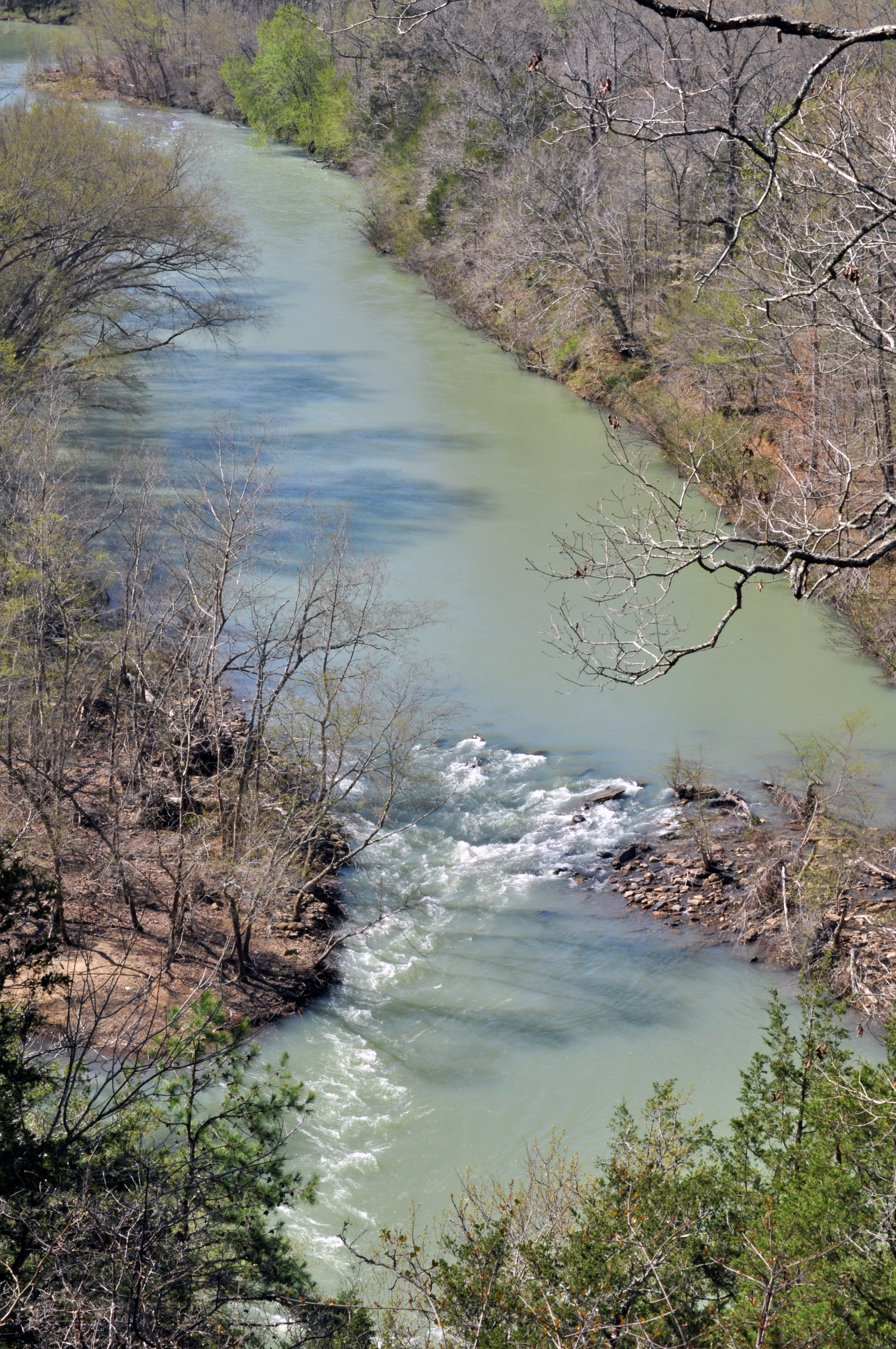
Mulberry River North of Cass, AR
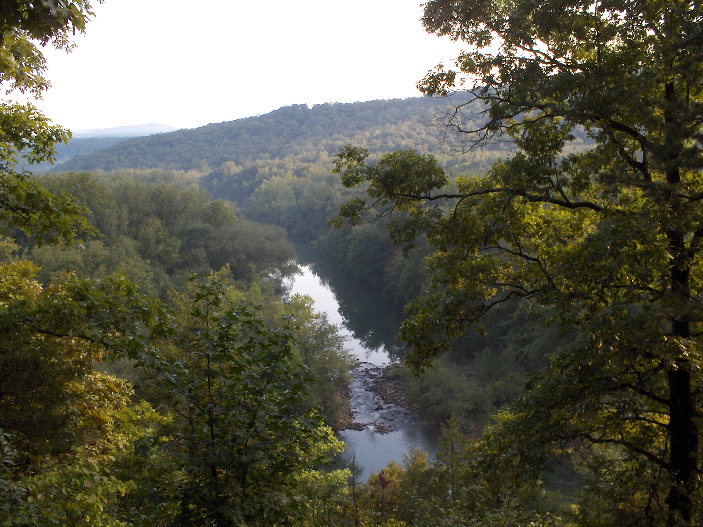
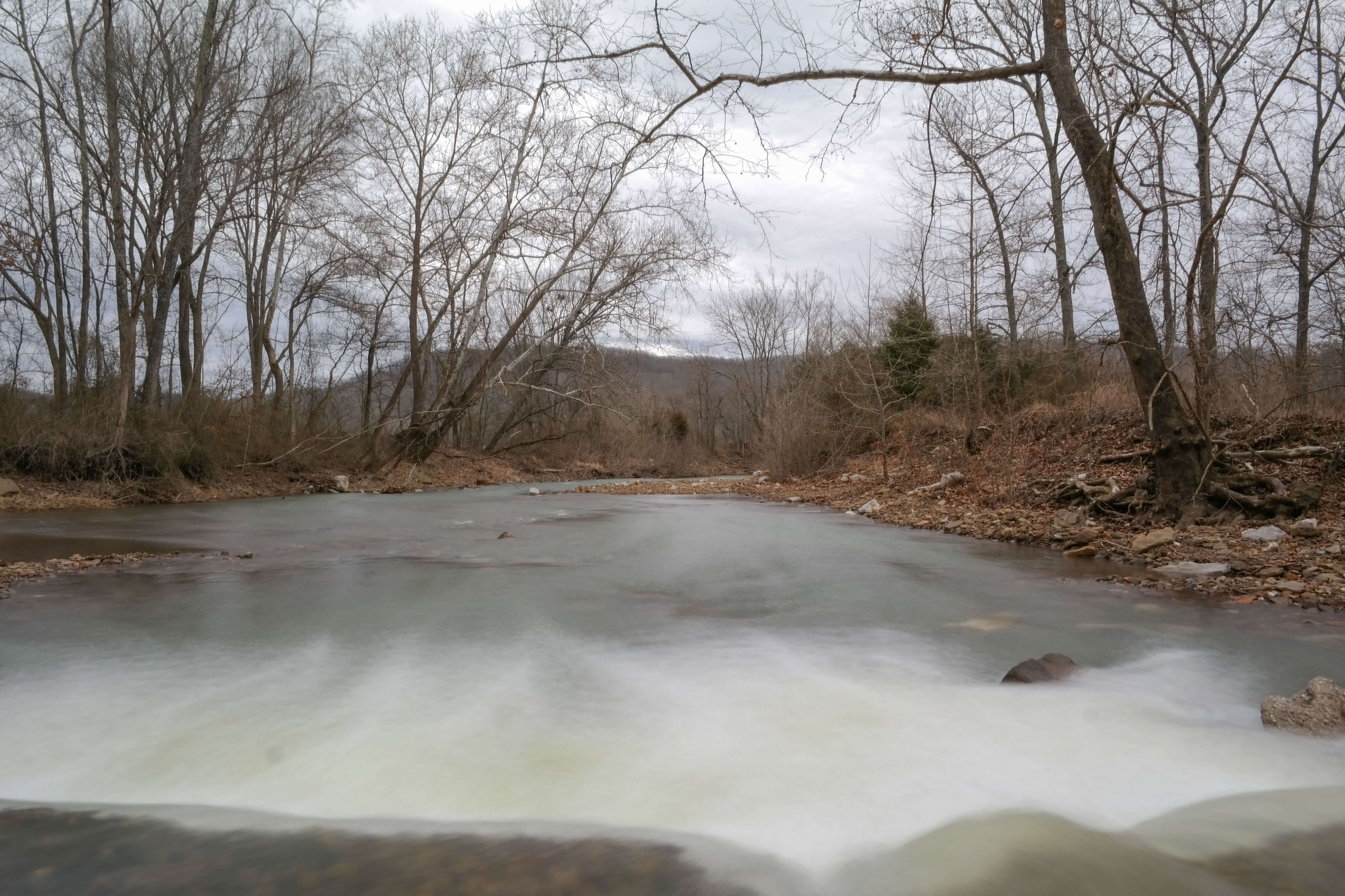
Mulberry River
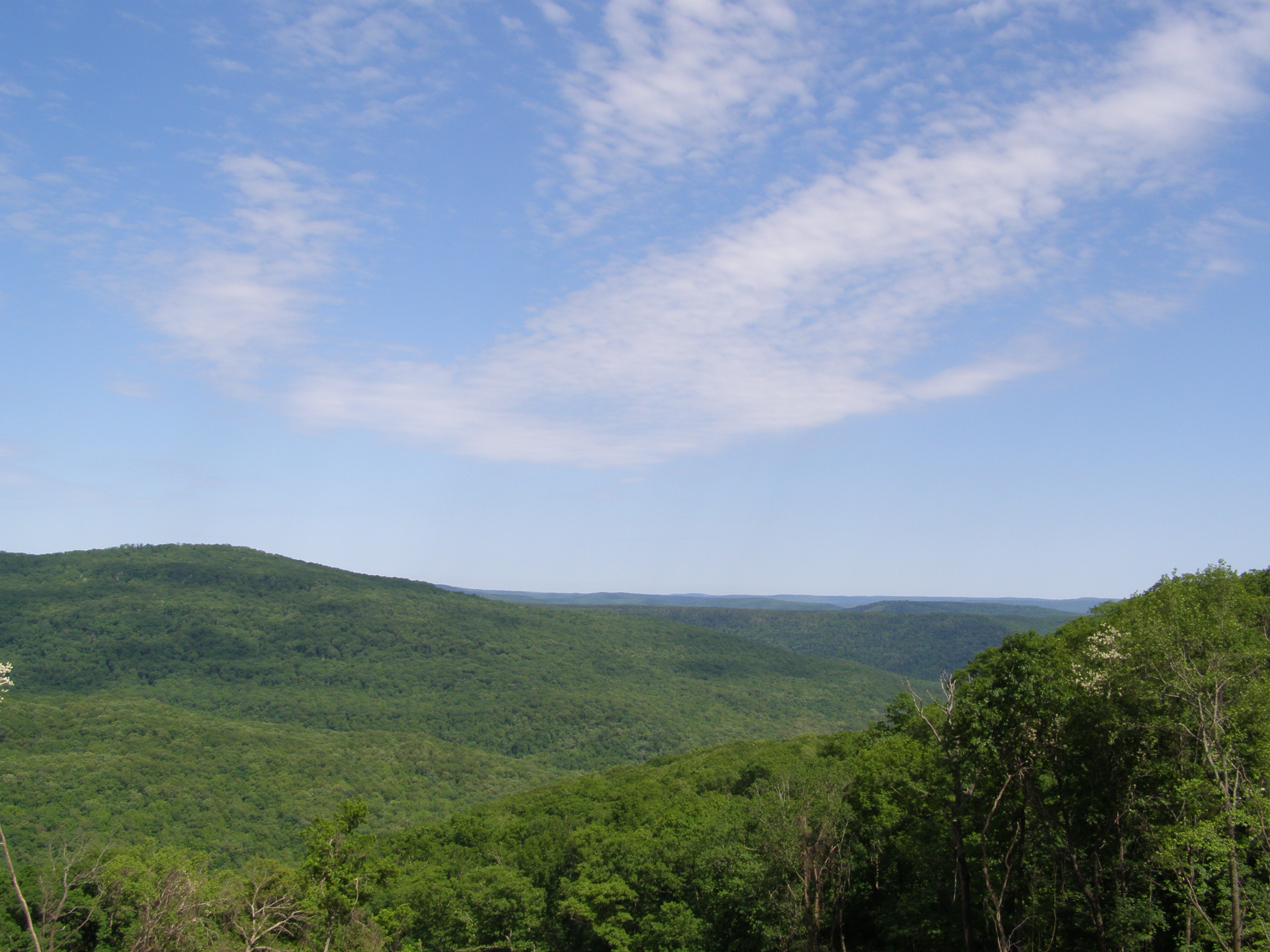
More Sky
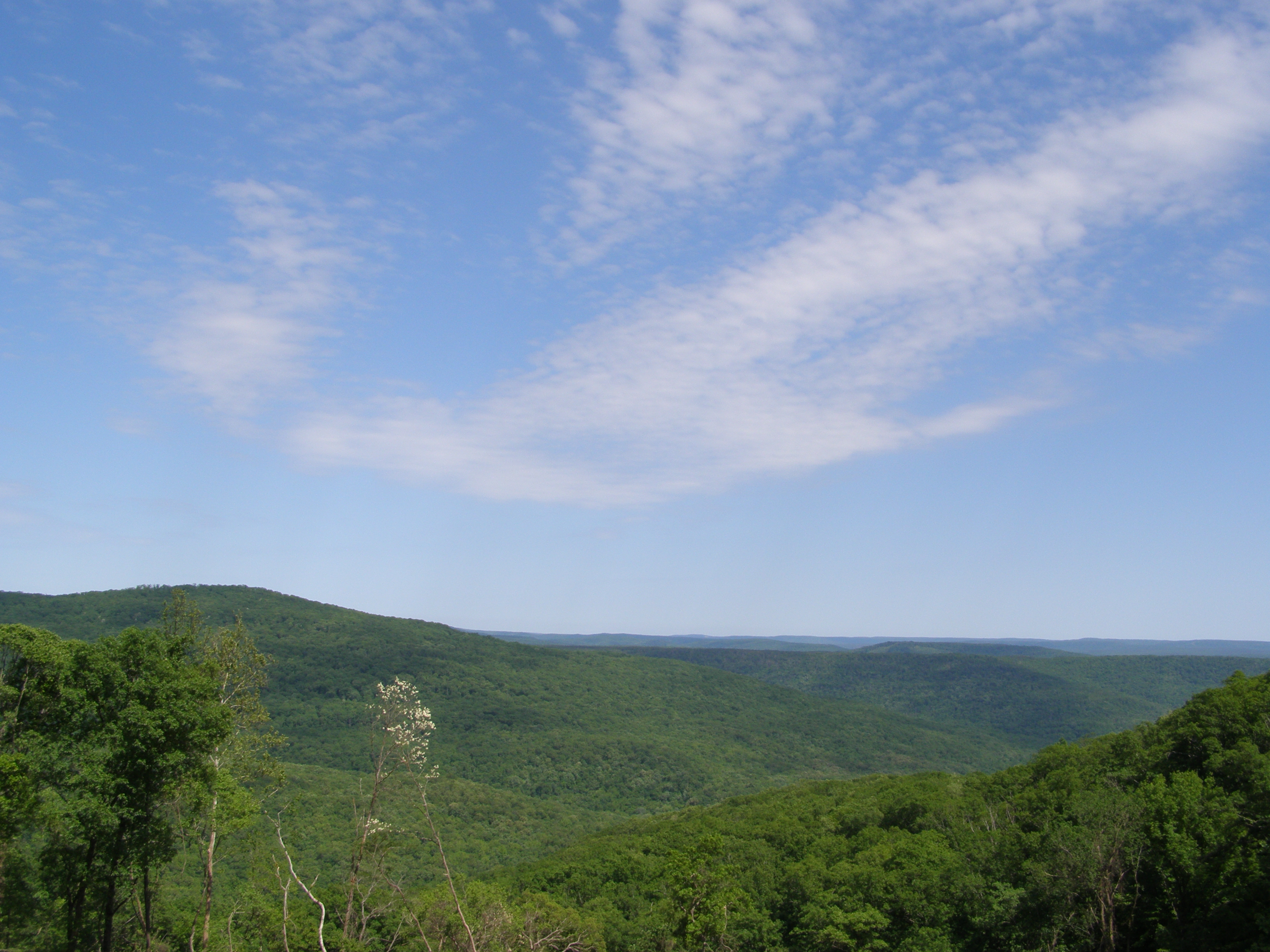
Even More Sky
Guess what, more sky
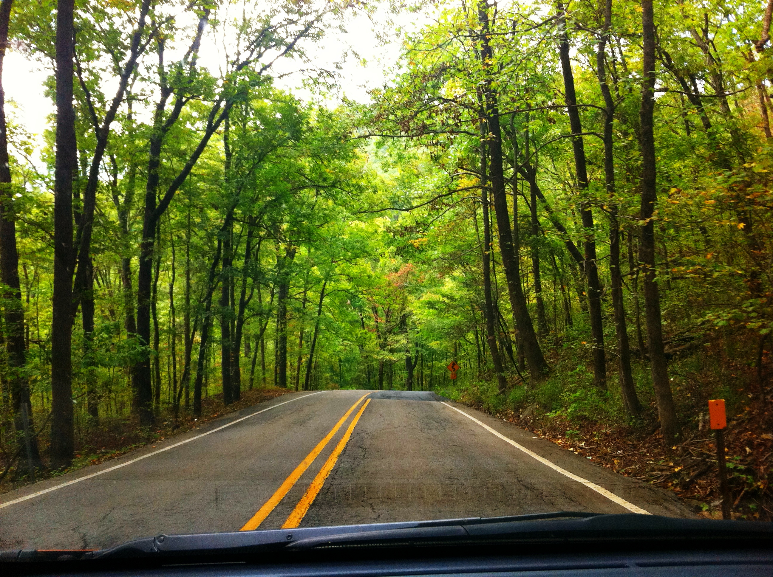
Highway 23 through Ozark National Forest
Hanging out on the side of the road.
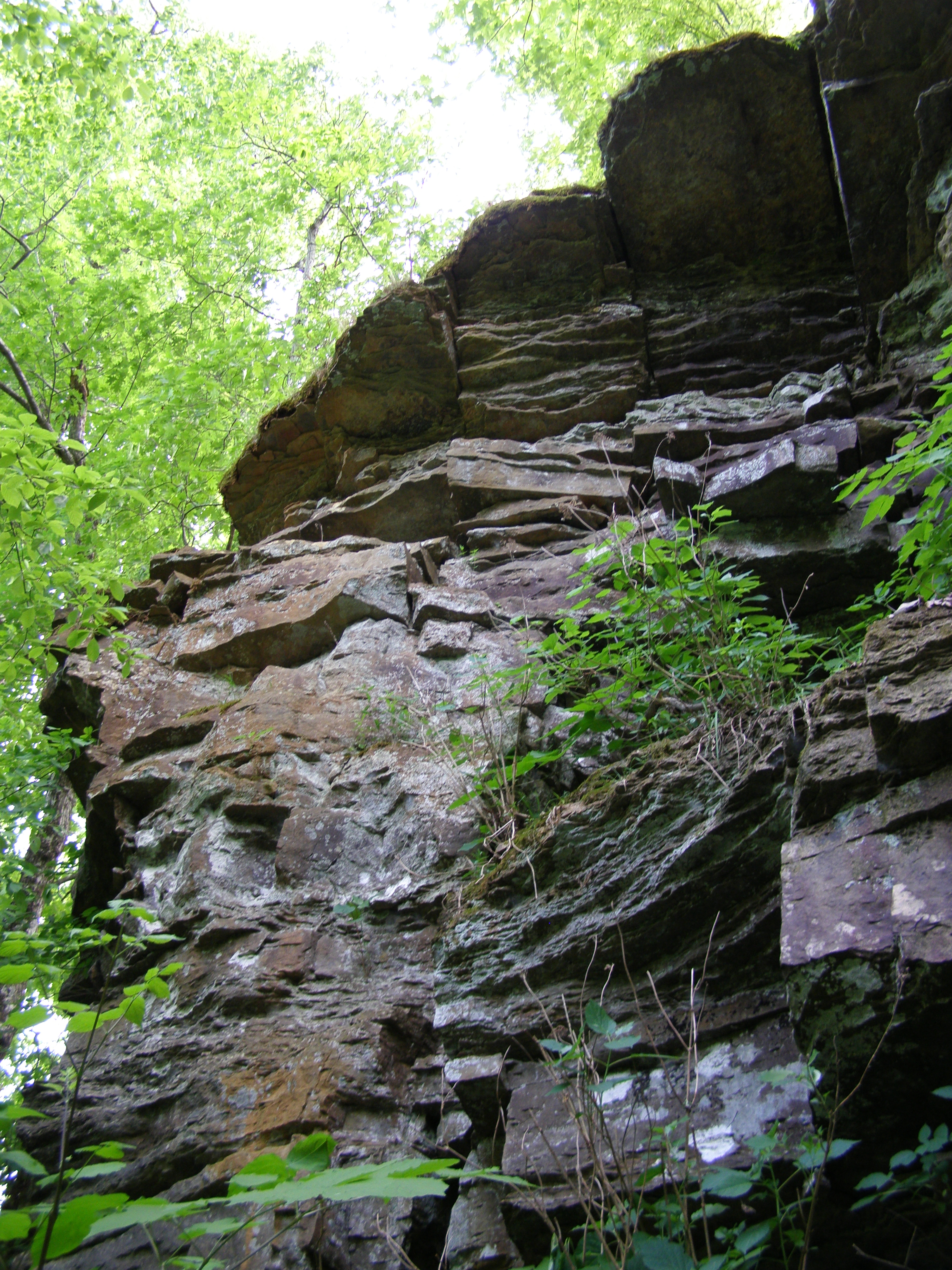
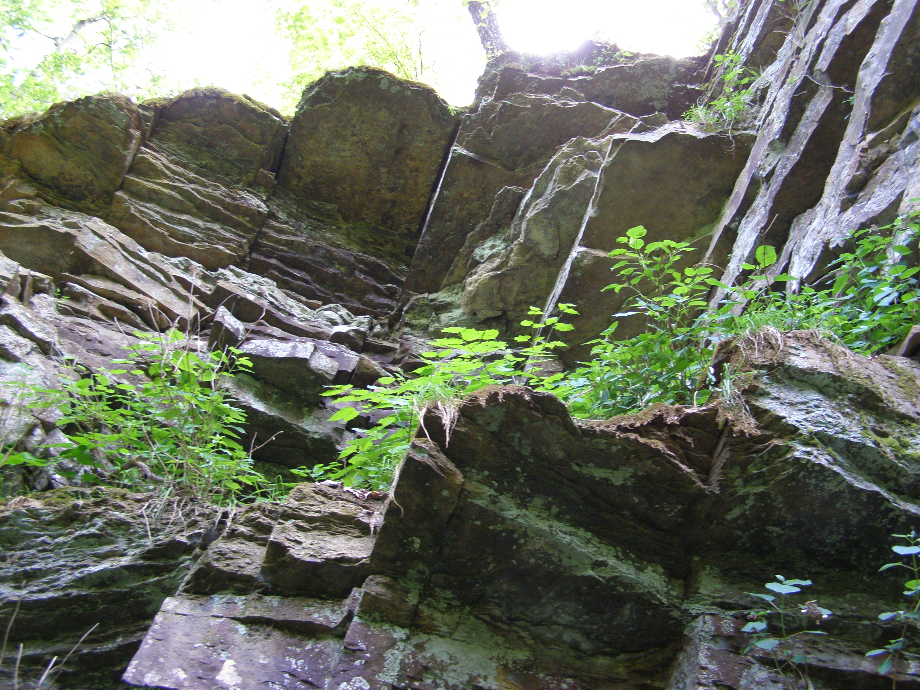
More Big Rocks
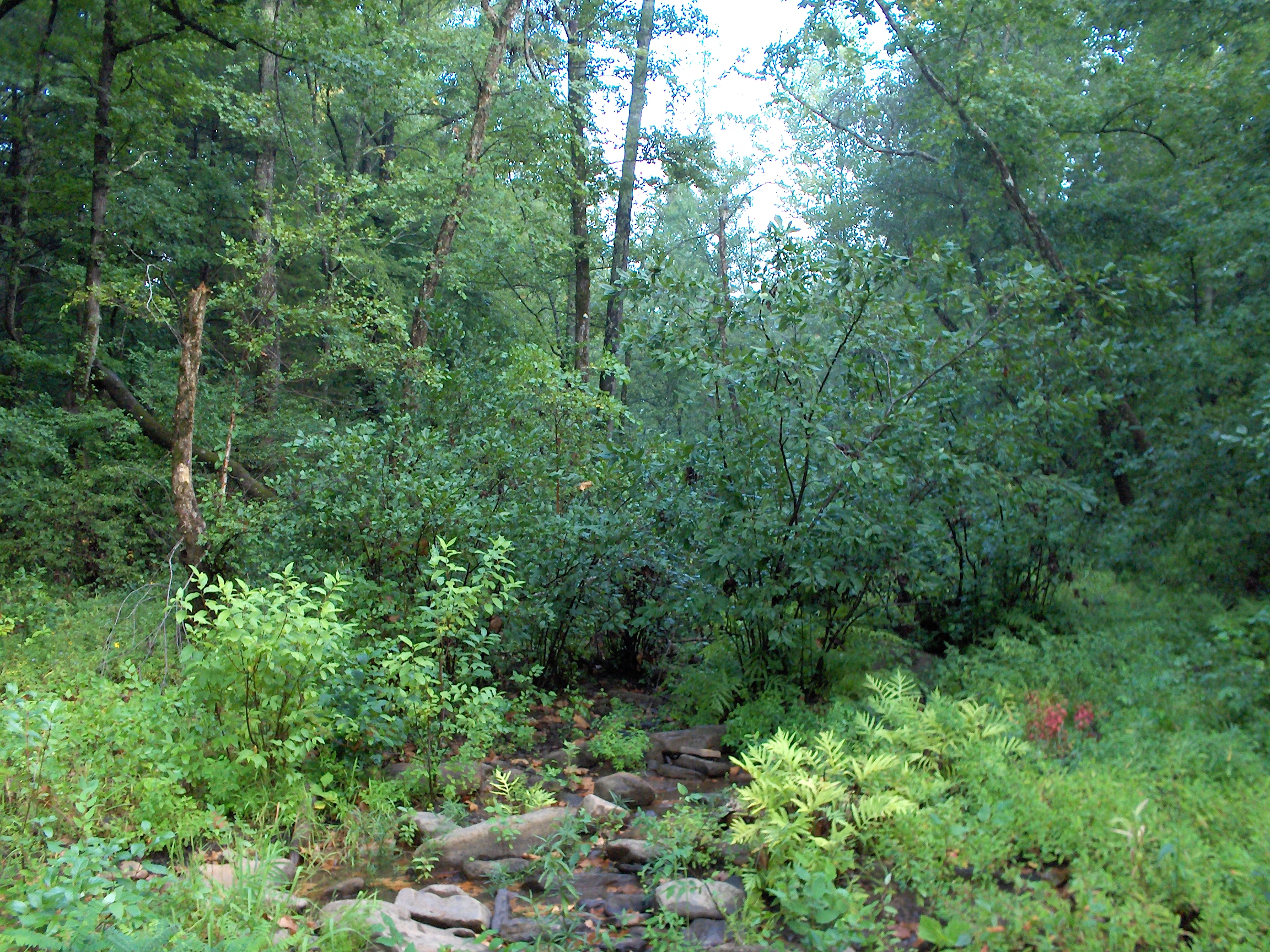
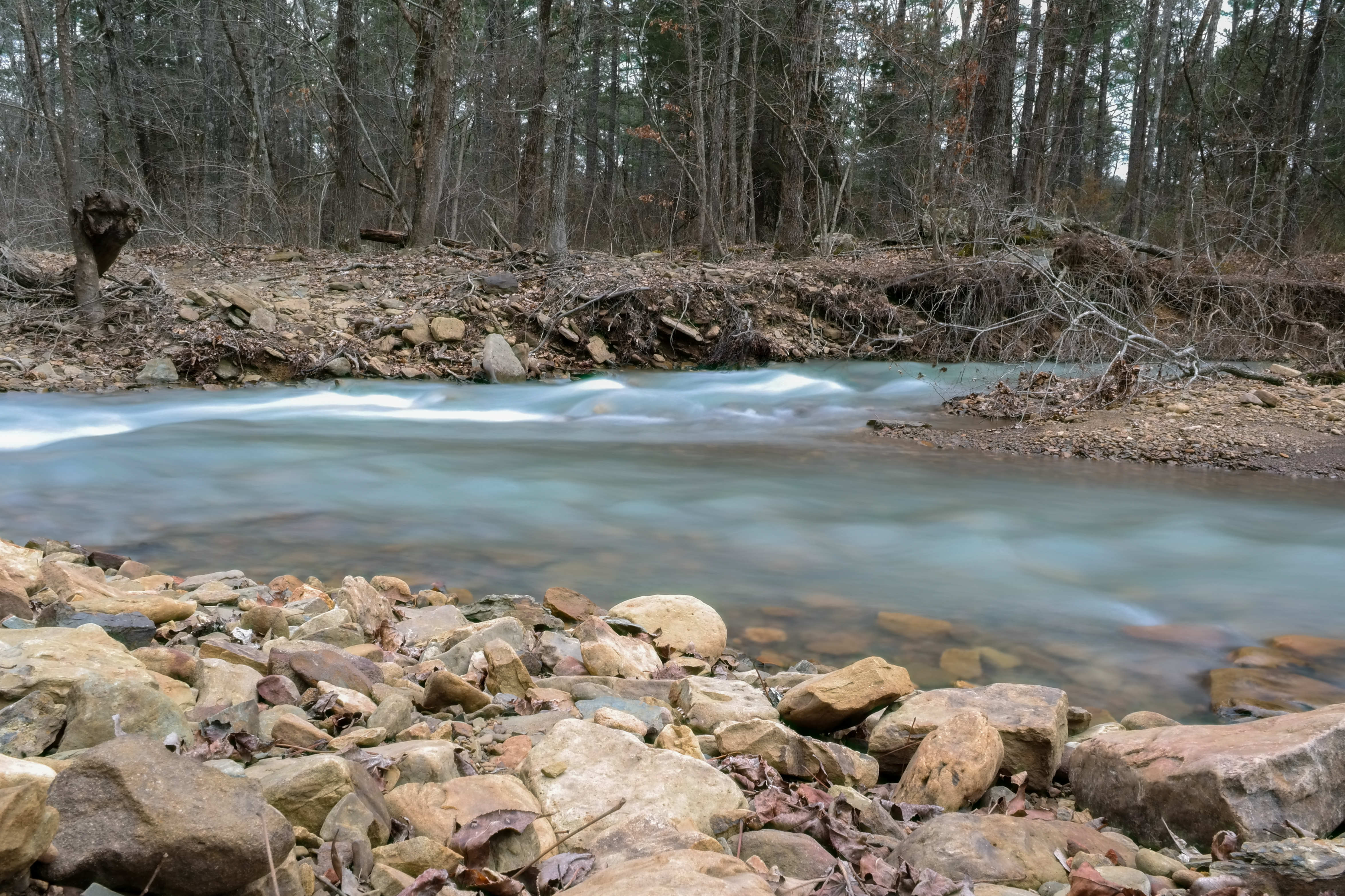
Overgrown Creek
#ozarkmountains #nature #naturelovers #mextures #mexturescollective
On Top of the Fall
Snow Melt Long 2
Snow Melt Long
Dare you to climb this
Dare you to climb this too
Topographic Map of Saint Paul, St Paul, AR, USA
Find elevation by address:

Places near Saint Paul, St Paul, AR, USA:
Ar-16 & Ar-23
AR-23, St Paul, AR, USA
Hilburn Township
13917 Ar-295
Combs, AR, USA
408 Madison Rd 5351
Madison, St Paul, AR, USA
Mill Creek Township
Kentucky Township
581 Madison Rd 4470
West Cobb
Garrett Mountain
1444 Madison 4685
Pettigrew
AR-16, Pettigrew, AR, USA
100 Co Rd 3259
970 Madison 3700
26504 Ar-16
2162 Madison 4845
Boston
Recent Searches:
- Elevation of Zimmer Trail, Pennsylvania, USA
- Elevation of 87 Kilmartin Ave, Bristol, CT, USA
- Elevation of Honghe National Nature Reserve, QP95+PJP, Tongjiang, Heilongjiang, Jiamusi, Heilongjiang, China
- Elevation of Hercules Dr, Colorado Springs, CO, USA
- Elevation of Szlak pieszy czarny, Poland
- Elevation of Griffing Blvd, Biscayne Park, FL, USA
- Elevation of Kreuzburger Weg 13, Düsseldorf, Germany
- Elevation of Gateway Blvd SE, Canton, OH, USA
- Elevation of East W.T. Harris Boulevard, E W.T. Harris Blvd, Charlotte, NC, USA
- Elevation of West Sugar Creek, Charlotte, NC, USA