Elevation of Ants Hill Rd, Muncy, PA, USA
Location: United States > Pennsylvania > Lycoming County > Muncy >
Longitude: -76.616031
Latitude: 41.15108
Elevation: 311m / 1020feet
Barometric Pressure: 98KPa
Elevation Map:
Satellite Map:
Related Photos:
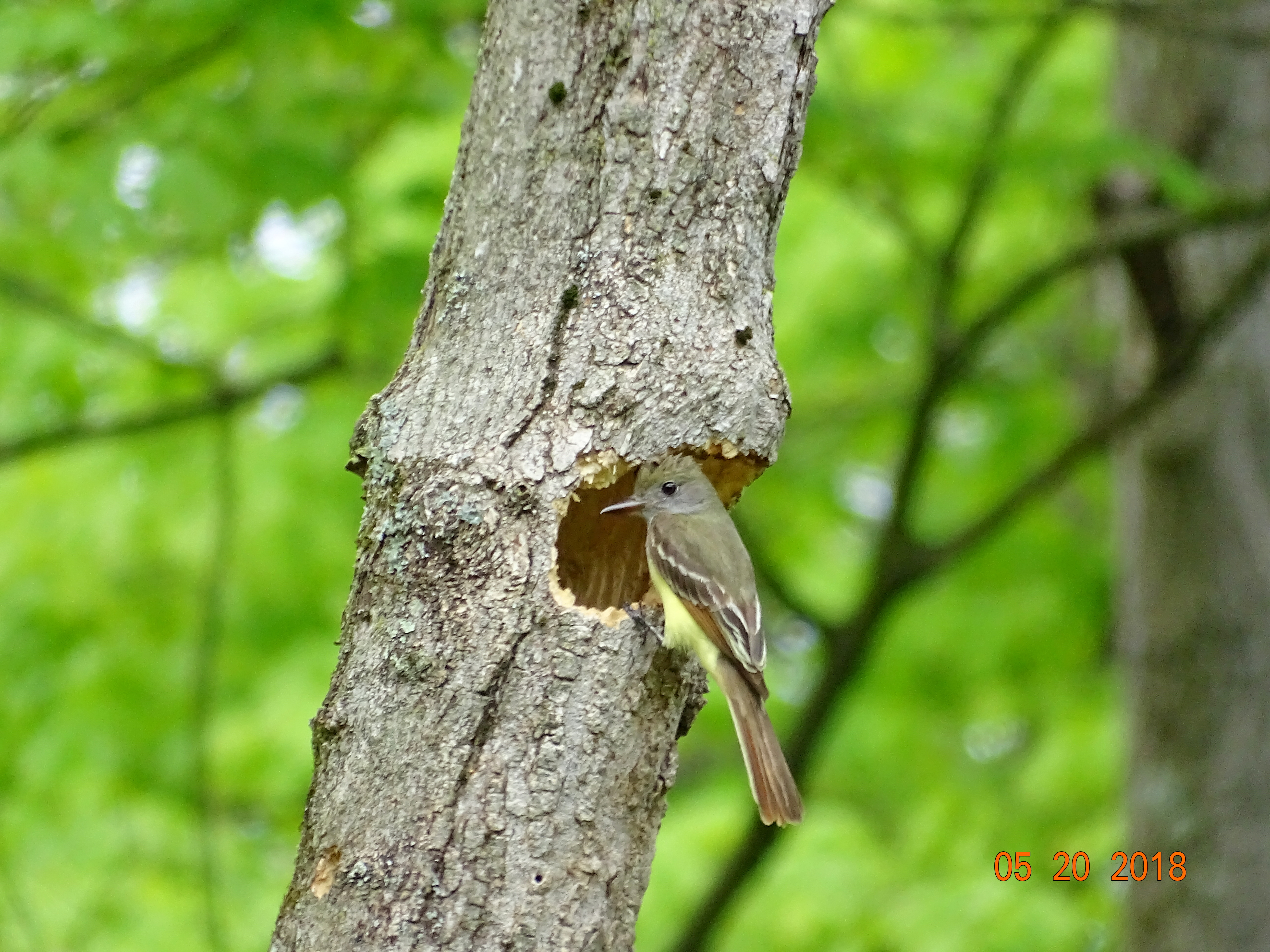
Great Crested Flycatcher, Montour Preserve, Montour County, PA, Sony HX400V, May 20, 2018
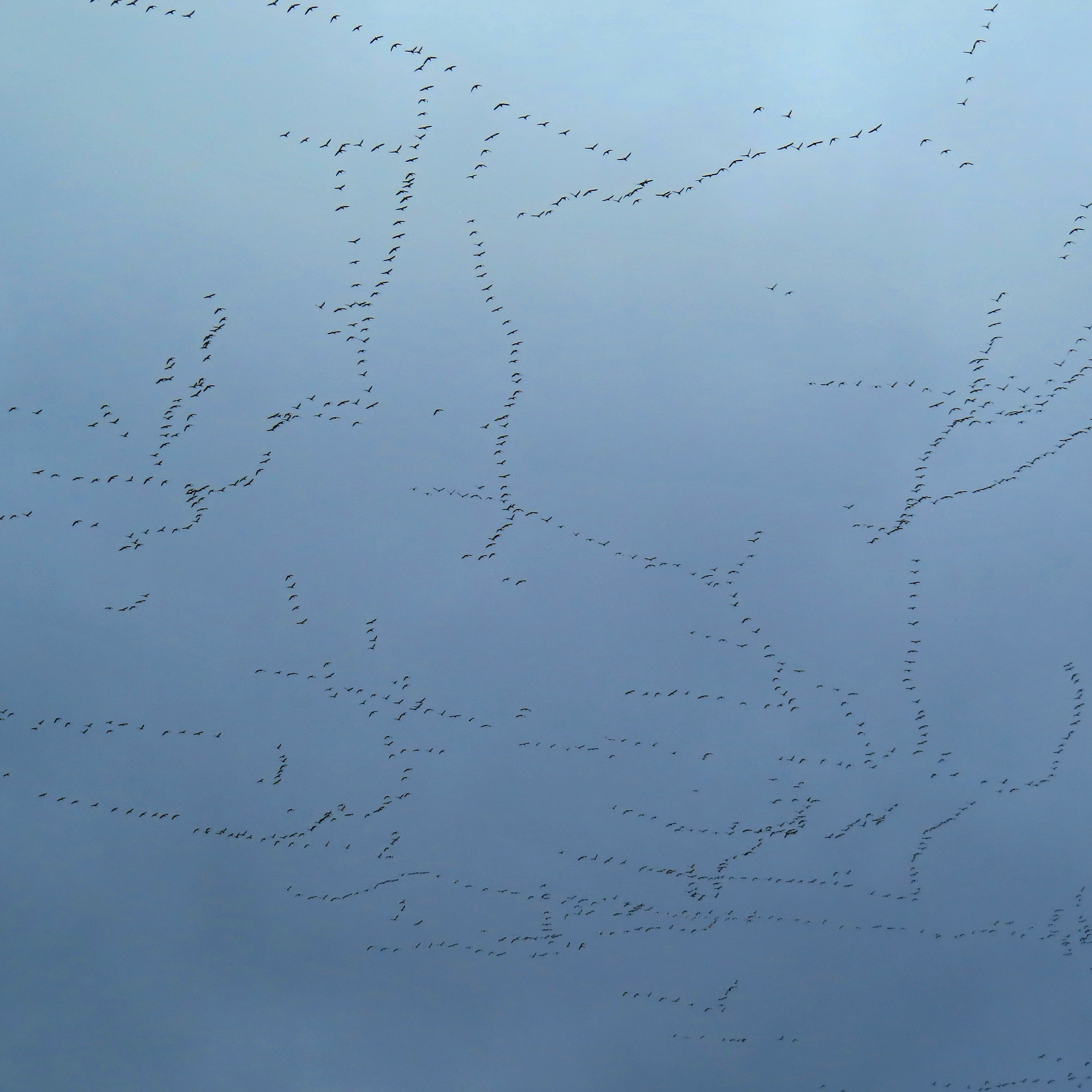
Sky patterns

Snow Geese Migration II

Beautiful luxuriant flower garden
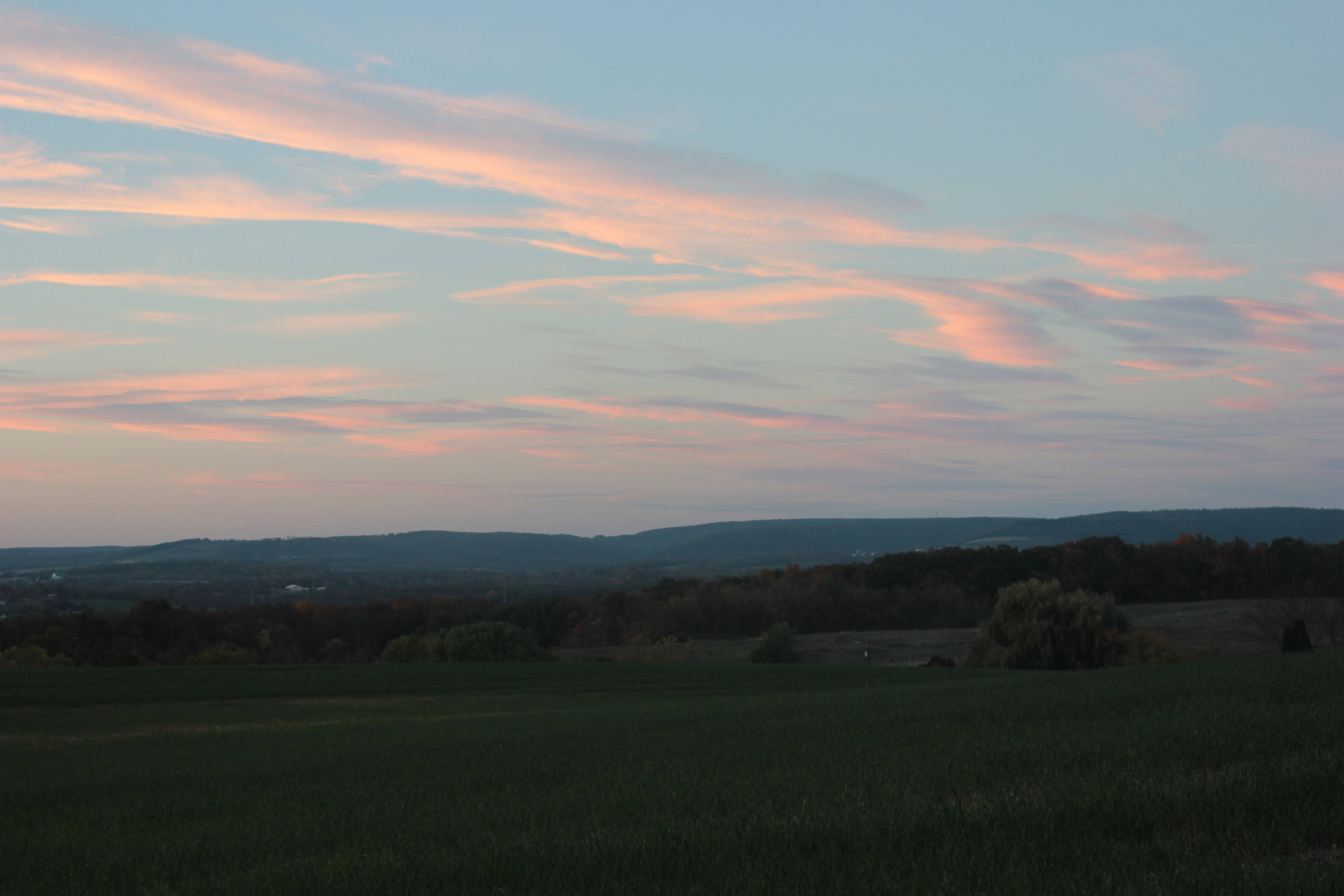
Evening sky
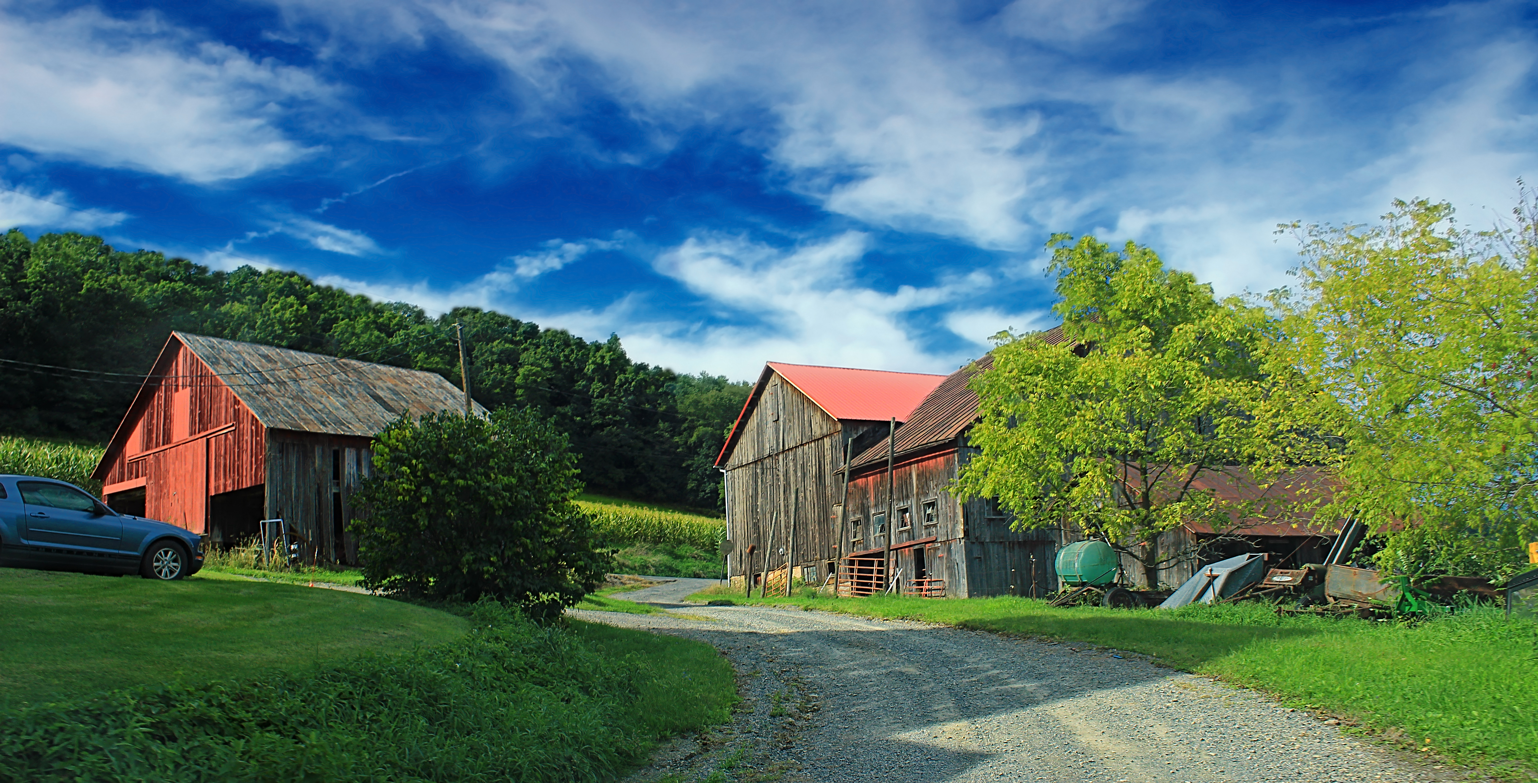
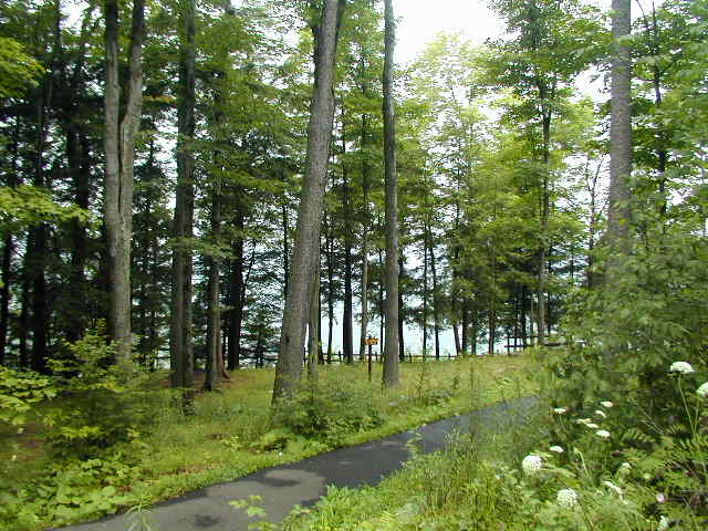
Covered Bridge Road (1)
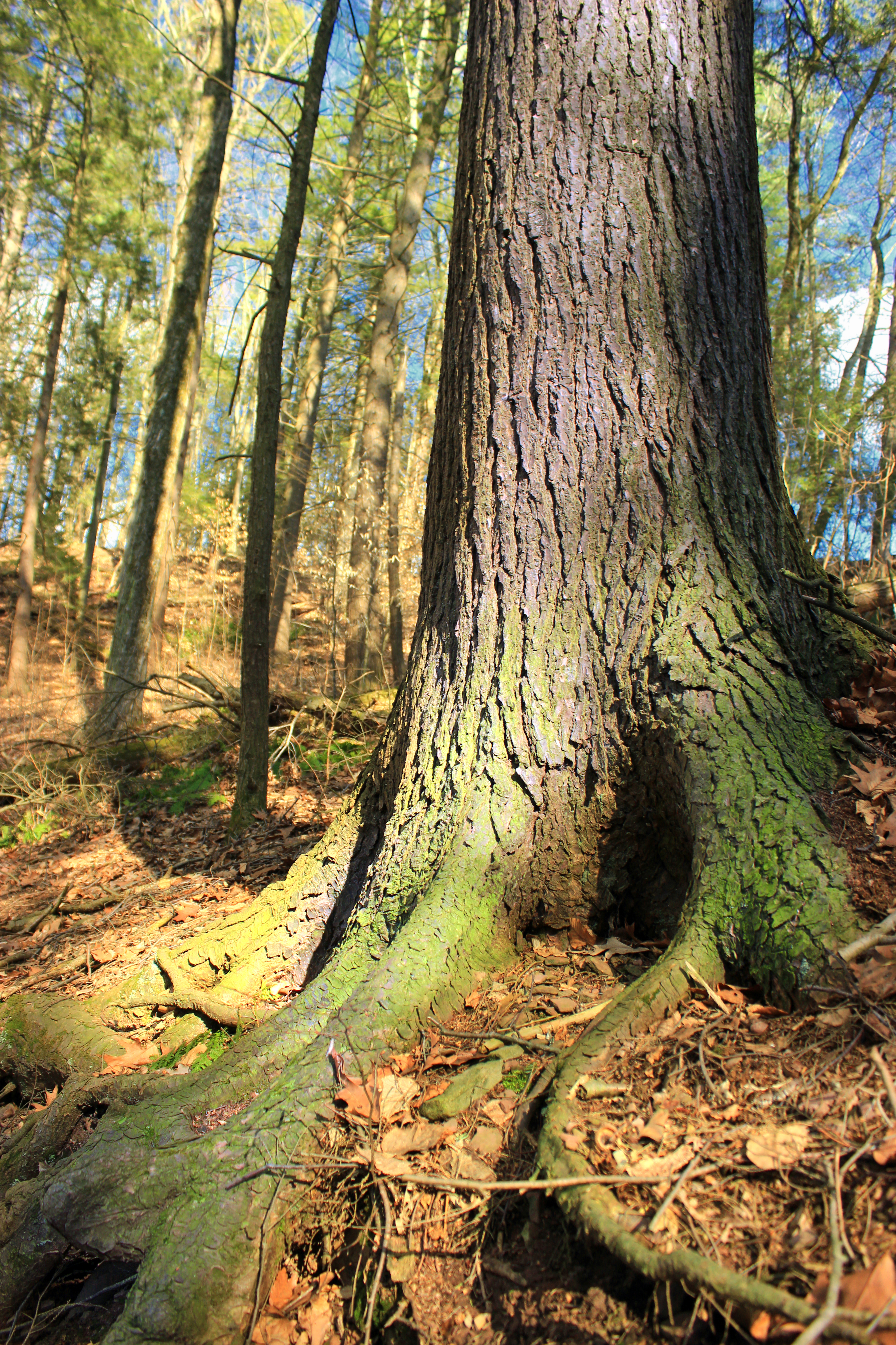
Jakey Hollow Natural Area (Revisit) (18)
Jakey Hollow Natural Area (Revisit) (19)
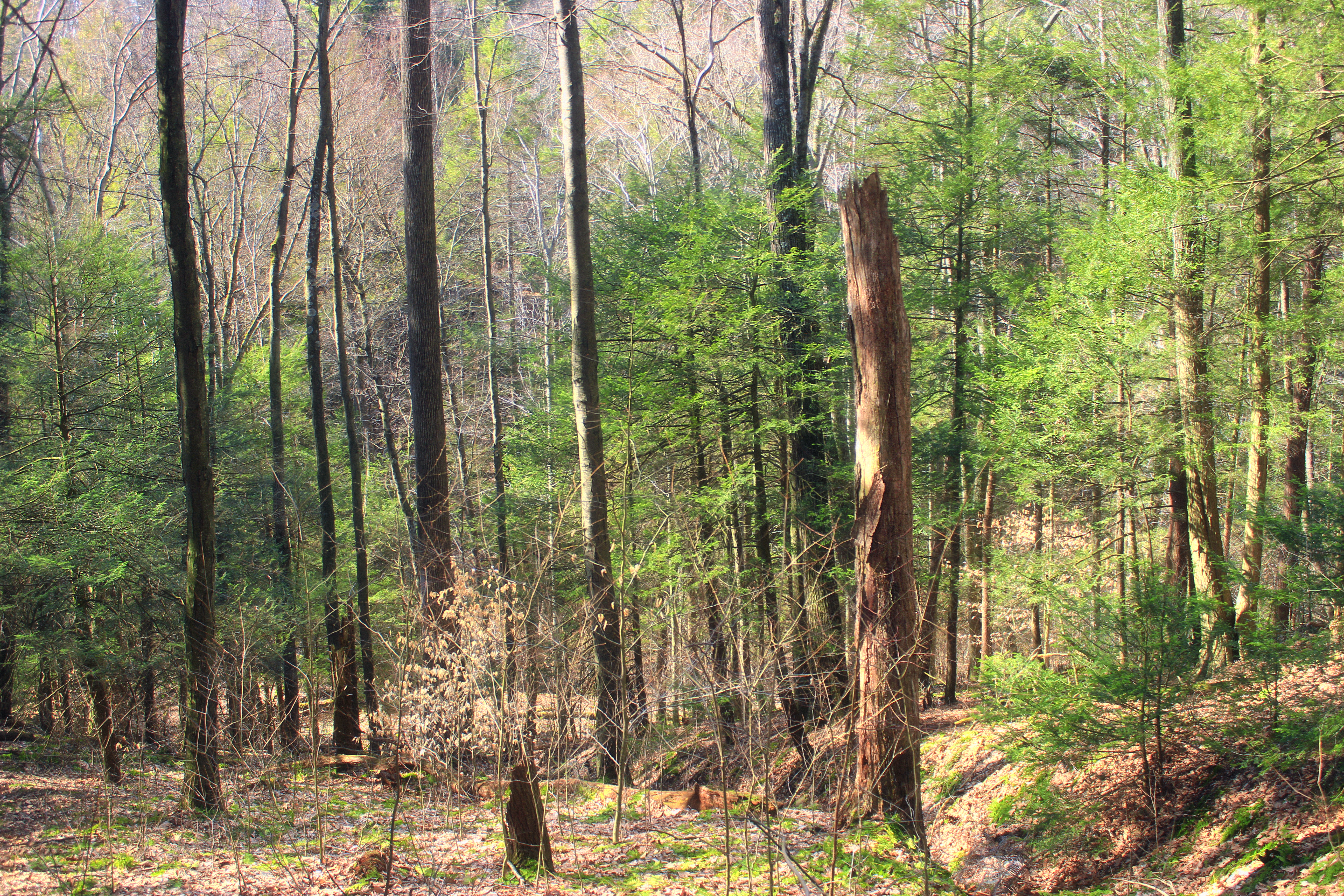
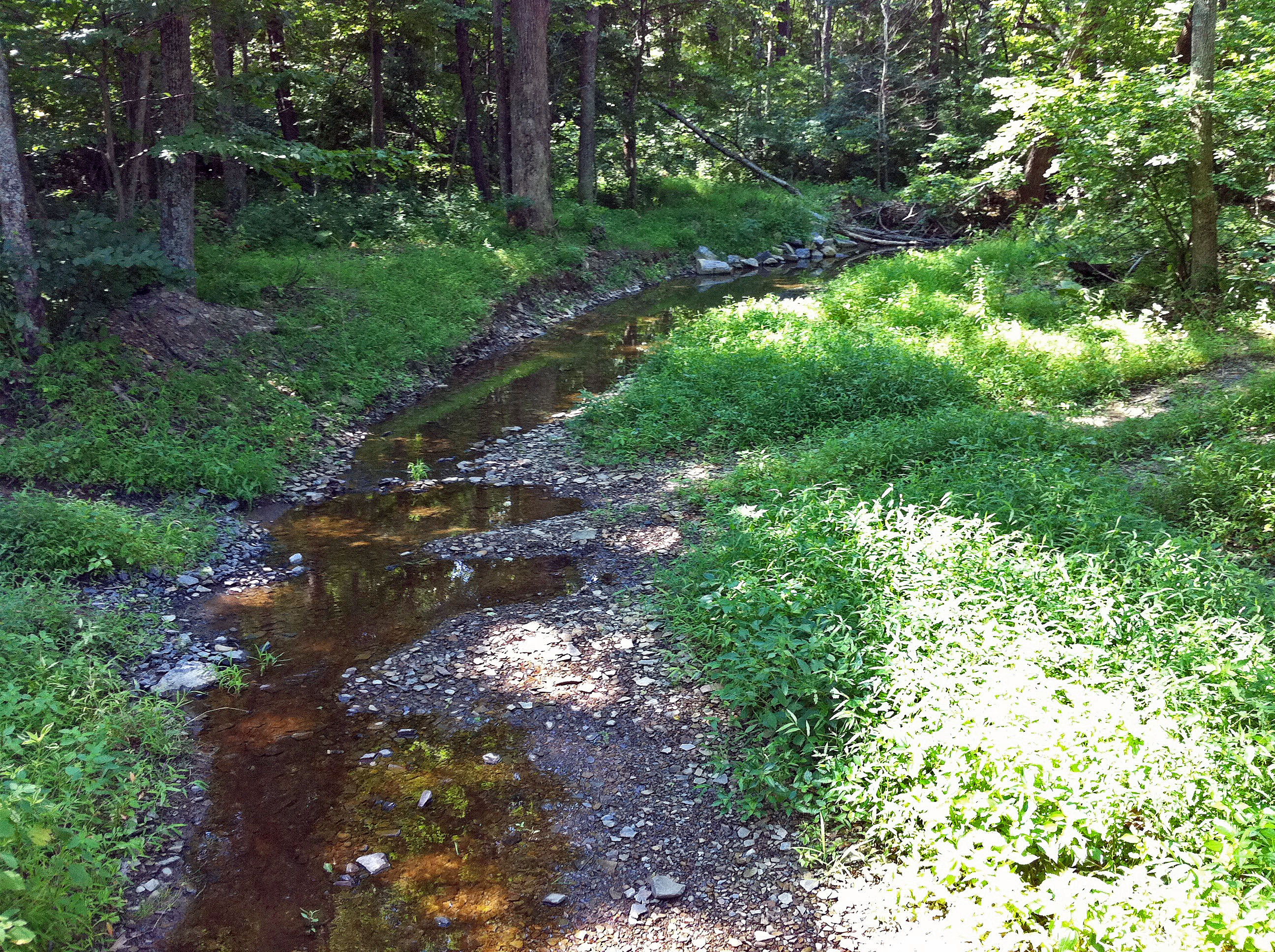
Glade Run (1)
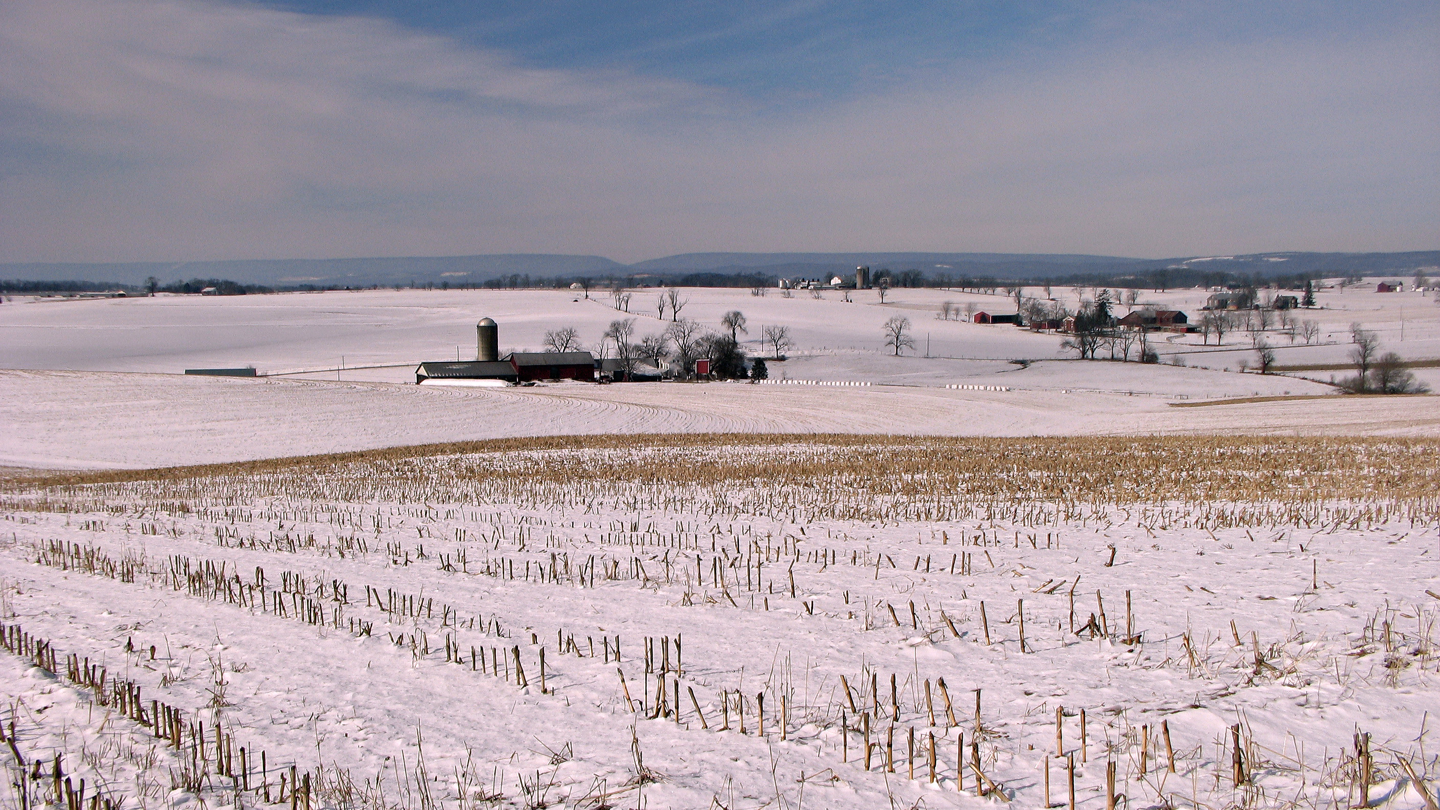
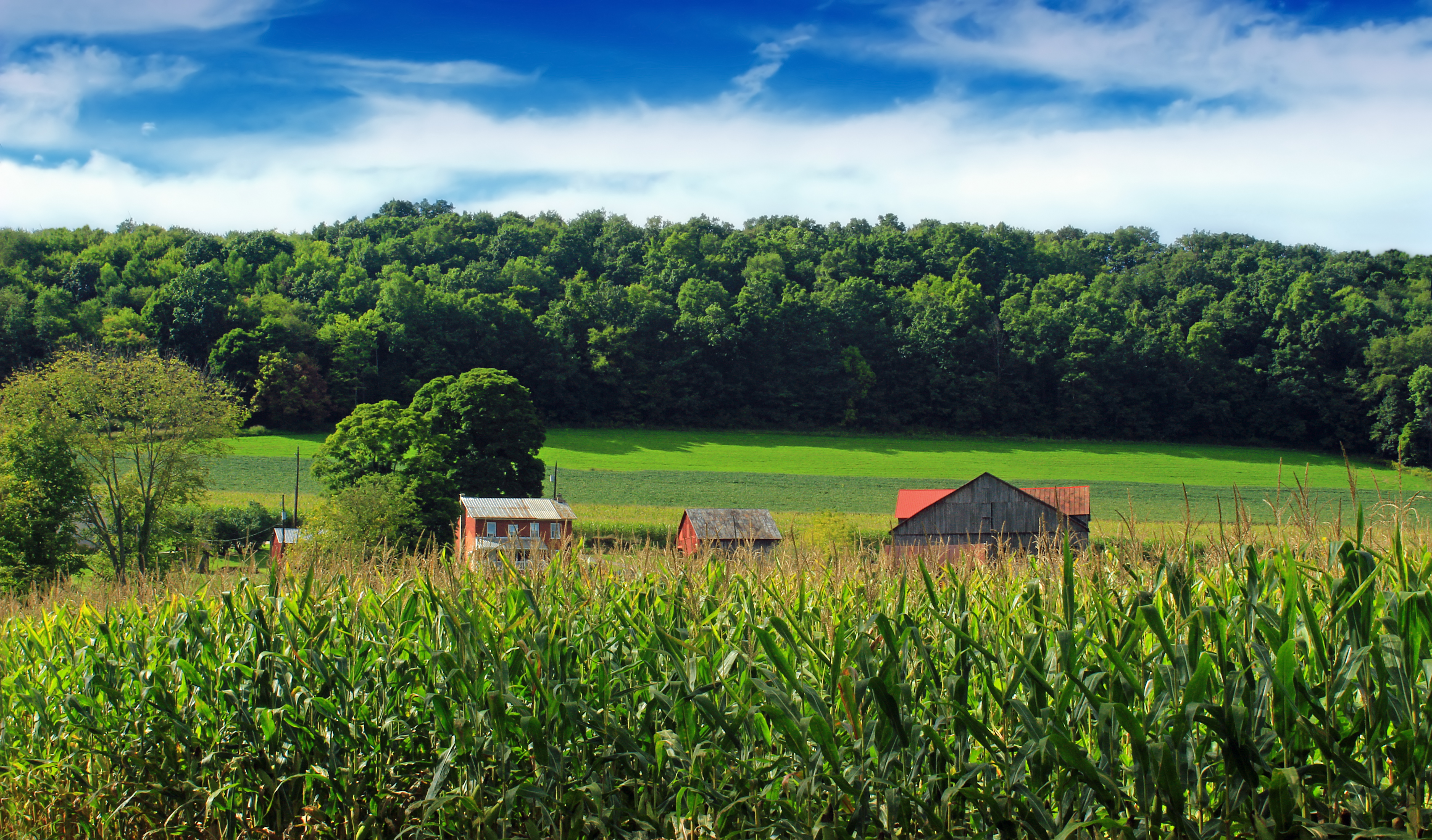
Winter fields and farms
Covered Bridge Road (2)

Summer 2009

Jakey Hollow Natural Area (Revisit) (27)
2010 PA Vacation-55_edited-1
2010 PA Vacation-59_edited-1
2010 PA Vacation-45_edited-1
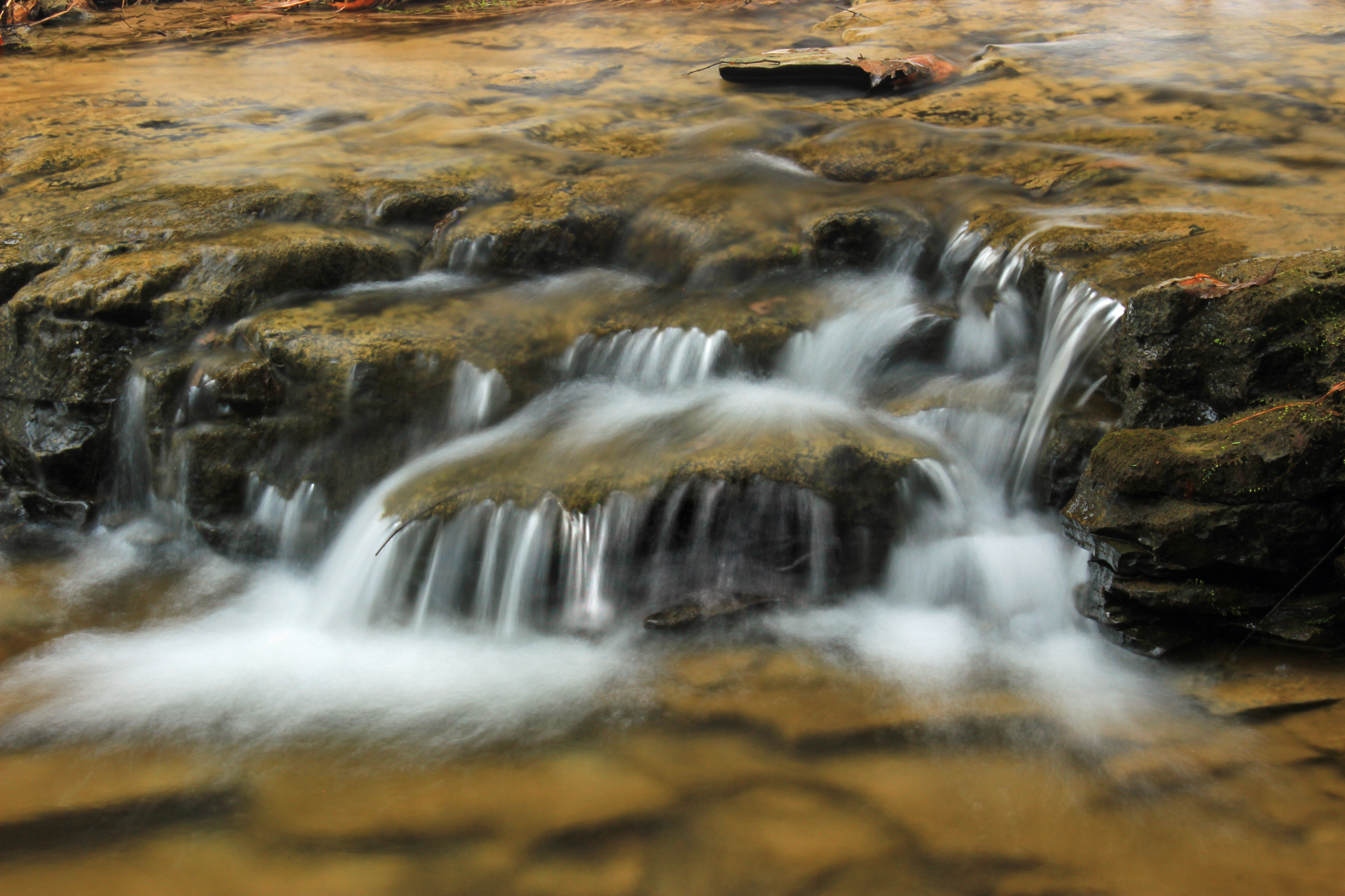
Worlds End State Park
2010 PA Vacation-51_edited-1
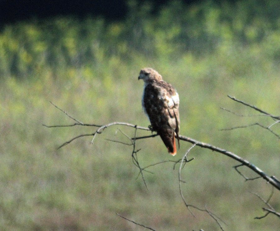
Red-tailed Hawk
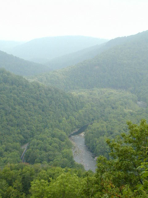
Worlds End State Park
2010 PA Vacation-69_edited-1
Keefer's Mill Covered Bridge - Washingtonville, Pennsylvania
2010 PA Vacation-49_edited-1
2010 PA Vacation-62_edited-1
2010 PA Vacation-47_edited-1
Topographic Map of Ants Hill Rd, Muncy, PA, USA
Find elevation by address:

Places near Ants Hill Rd, Muncy, PA, USA:
Snyder Rd, Muncy, PA, USA
Church Road
Moreland Baptist Road
Lairdsville
Franklin Township
175 Worthington Rd
Greenwood Township
PA-42, Unityville, PA, USA
Rohrsburg
Fishing Creek
61 Kings Rd
Main St, Benton, PA, USA
Benton
Benton Township
Schoolhouse Rd, Catawissa, PA, USA
Central Rd, Benton, PA, USA
Jamison City
Bendertown Rd, Stillwater, PA, USA
Sugarloaf Township
Recent Searches:
- Elevation of Calais Dr, Del Mar, CA, USA
- Elevation of Placer Mine Ln, West Jordan, UT, USA
- Elevation of E 63rd St, New York, NY, USA
- Elevation of Elk City, OK, USA
- Elevation of Erika Dr, Windsor, CA, USA
- Elevation of Village Ln, Finleyville, PA, USA
- Elevation of 24 Oakland Rd #, Scotland, ON N0E 1R0, Canada
- Elevation of Deep Gap Farm Rd E, Mill Spring, NC, USA
- Elevation of Dog Leg Dr, Minden, NV, USA
- Elevation of Dog Leg Dr, Minden, NV, USA