Elevation of Ankogel Group, Austria
Location: Austria > Carinthia > Spittal An Der Drau District > Gemeinde Malta > Göß >
Longitude: 13.32
Latitude: 47.02
Elevation: 3043m / 9984feet
Barometric Pressure: 70KPa
Elevation Map:
Satellite Map:
Related Photos:
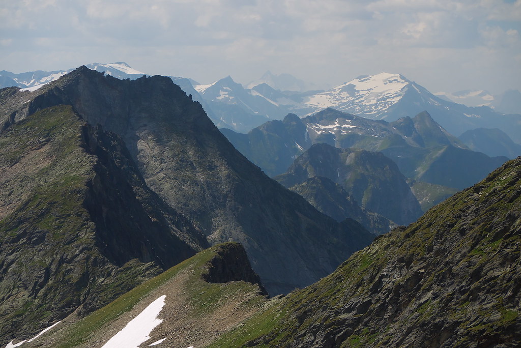
View from the Ankogel, Austria

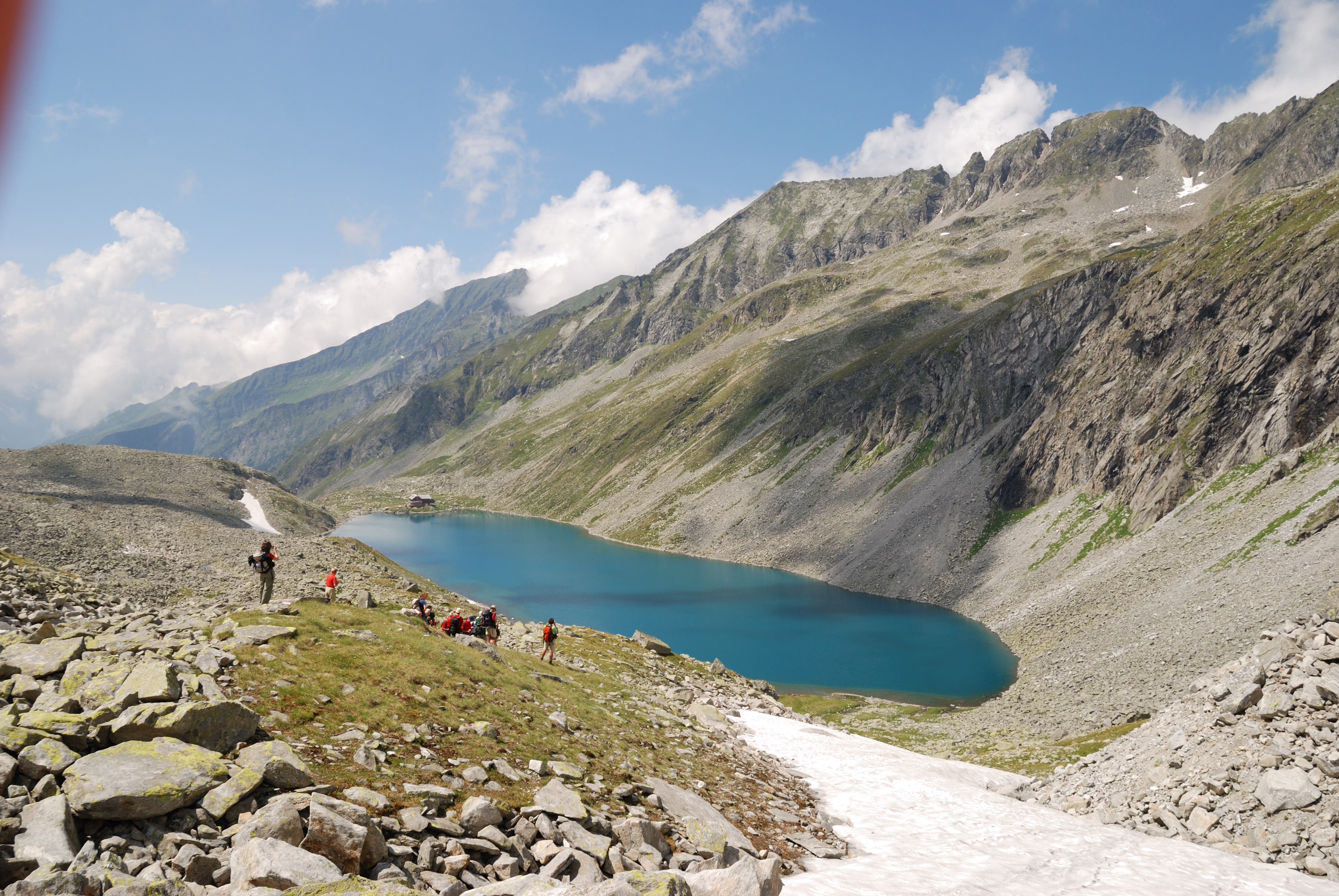
Maltatal, Speichersee Kölnbrein / Reservoir Koelnbrein

Magas Tauern-i kilátás / view from Lassacher Kees
Dösen Valley (Hohe Tauern, Austrian Alps)
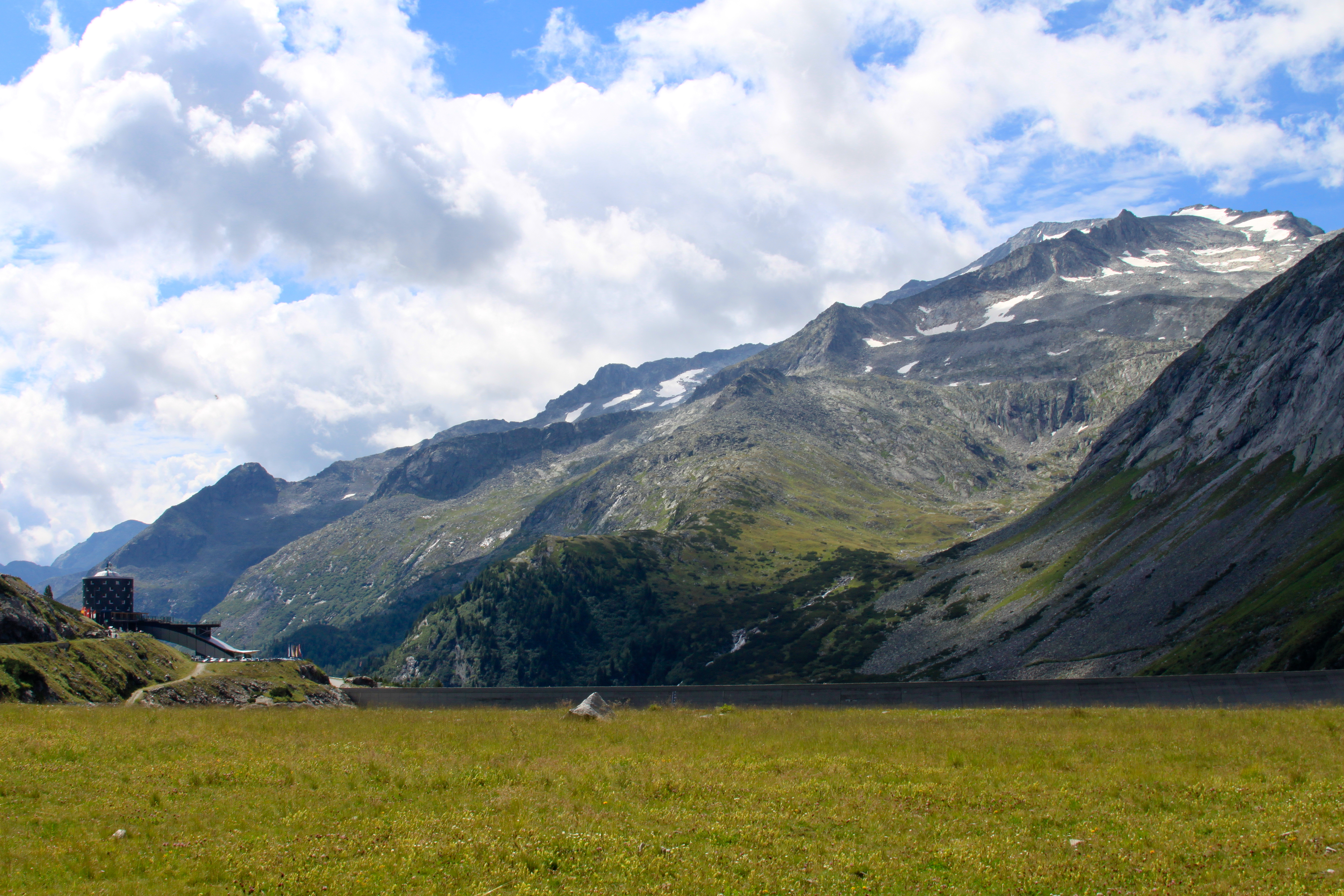
View from the Kölnbreinspeicher
Topographic Map of Ankogel Group, Austria
Find elevation by address:

Places near Ankogel Group, Austria:
Brandstatt 36
Zandlach 66, Zandlach, Austria
Göß
Hintermuhr 23, Hintermuhr, Austria
Radl 40, Radl, Austria
Zandlach
Brandstatt
Rottau 2, Rottau, Austria
Rottau
Obervellach
Obervellach-West 15, Obervellach-West, Austria
Schlatzingerau 7, Schlatzingerau, Austria
Schlatzingerau
Hintermuhr
Pölla
Gemeinde Malta
Gemeinde Muhr
Litzlhof 2, Litzlhof, Austria
Polla 6, Pölla, Austria
Gemeinde Flattach
Recent Searches:
- Elevation of Corso Fratelli Cairoli, 35, Macerata MC, Italy
- Elevation of Tallevast Rd, Sarasota, FL, USA
- Elevation of 4th St E, Sonoma, CA, USA
- Elevation of Black Hollow Rd, Pennsdale, PA, USA
- Elevation of Oakland Ave, Williamsport, PA, USA
- Elevation of Pedrógão Grande, Portugal
- Elevation of Klee Dr, Martinsburg, WV, USA
- Elevation of Via Roma, Pieranica CR, Italy
- Elevation of Tavkvetili Mountain, Georgia
- Elevation of Hartfords Bluff Cir, Mt Pleasant, SC, USA