Elevation of Gemeinde Flattach, Austria
Location: Austria > Carinthia > Spittal An Der Drau District >
Longitude: 13.1326
Latitude: 46.9335
Elevation: 698m / 2290feet
Barometric Pressure: 93KPa
Elevation Map:
Satellite Map:
Related Photos:
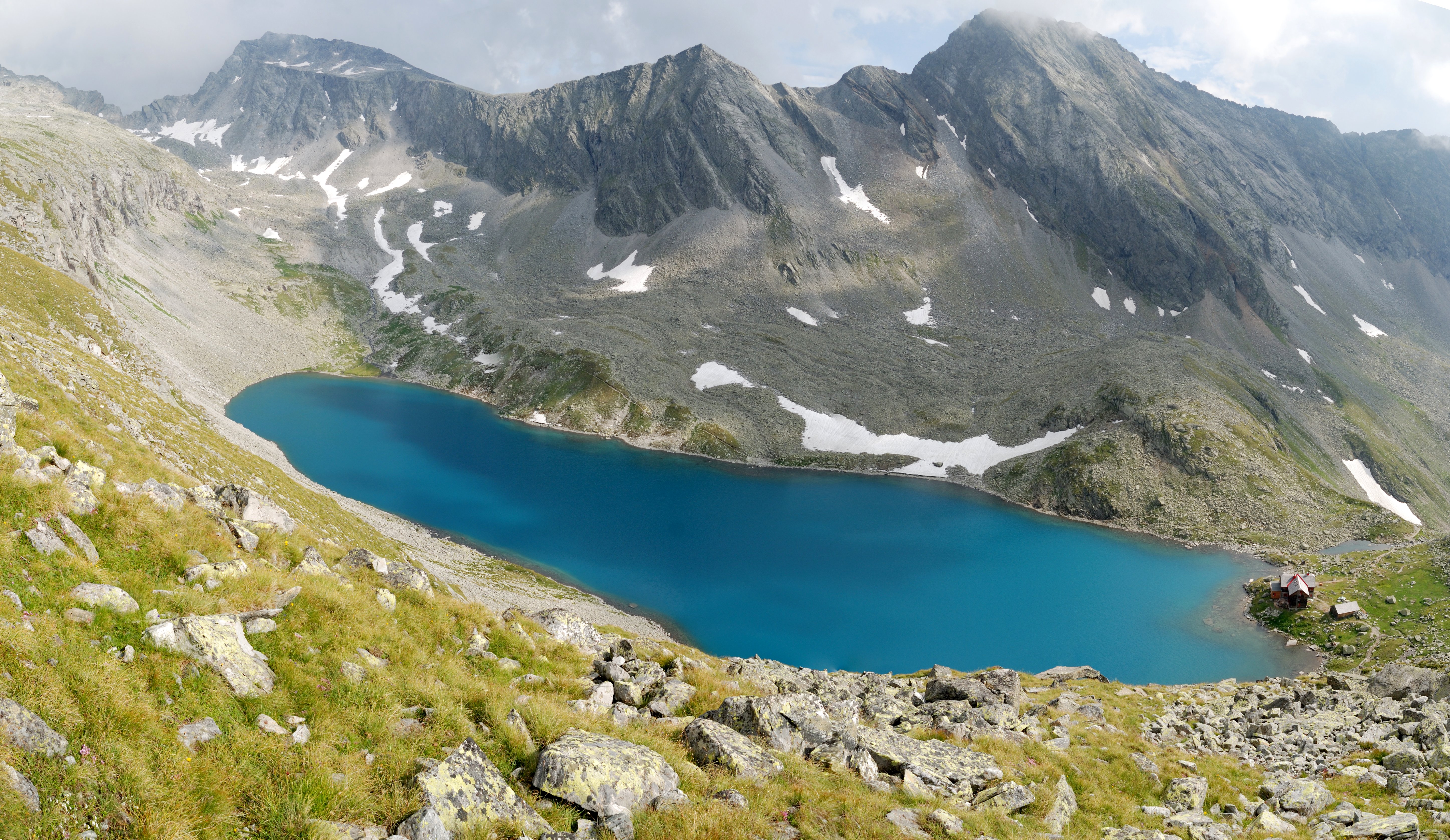
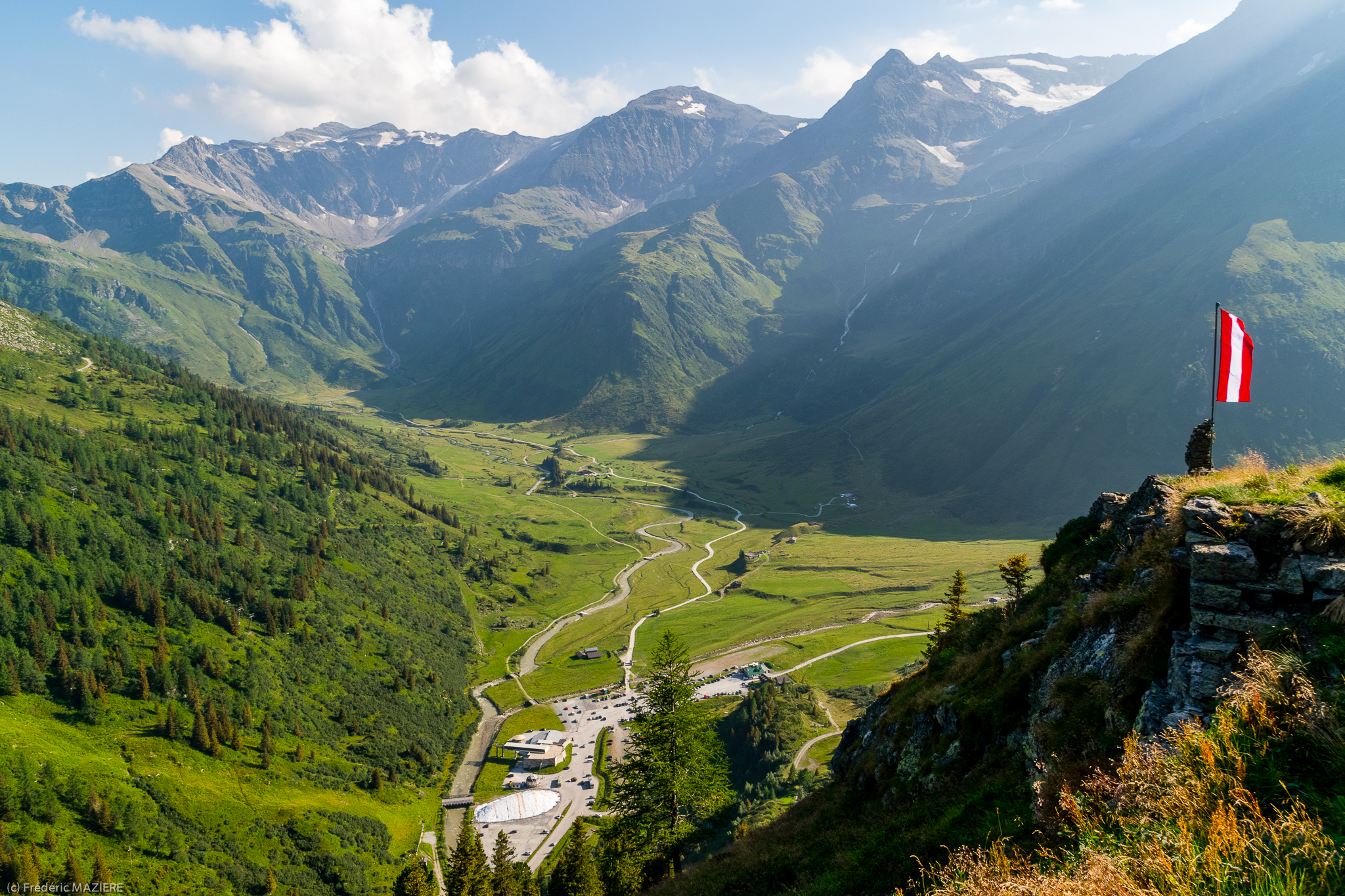
Austrian Alps, Hohe Tauern, Dösen Valley - 2010

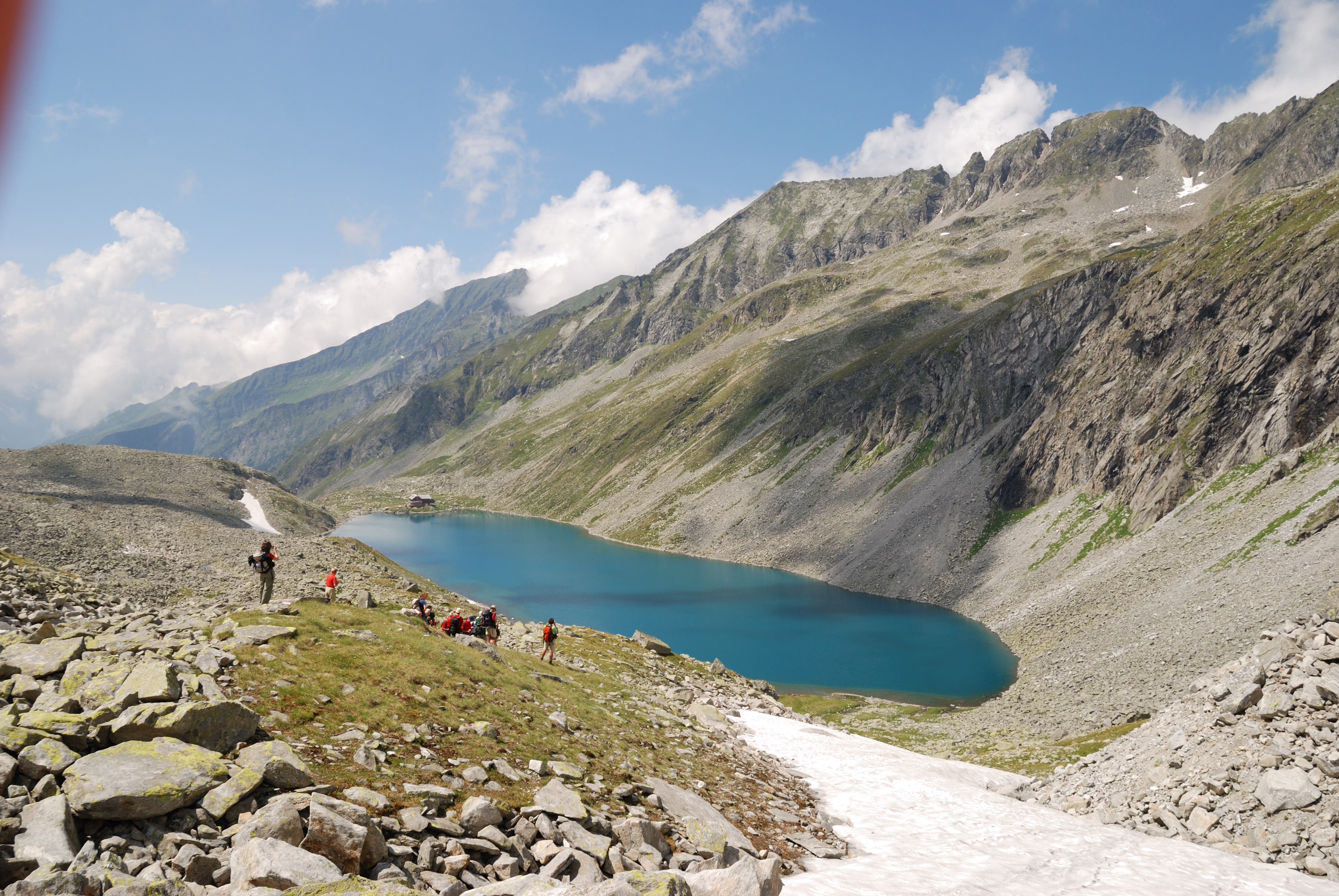
Nationalpark Hohe Tauren--rest - they need a break
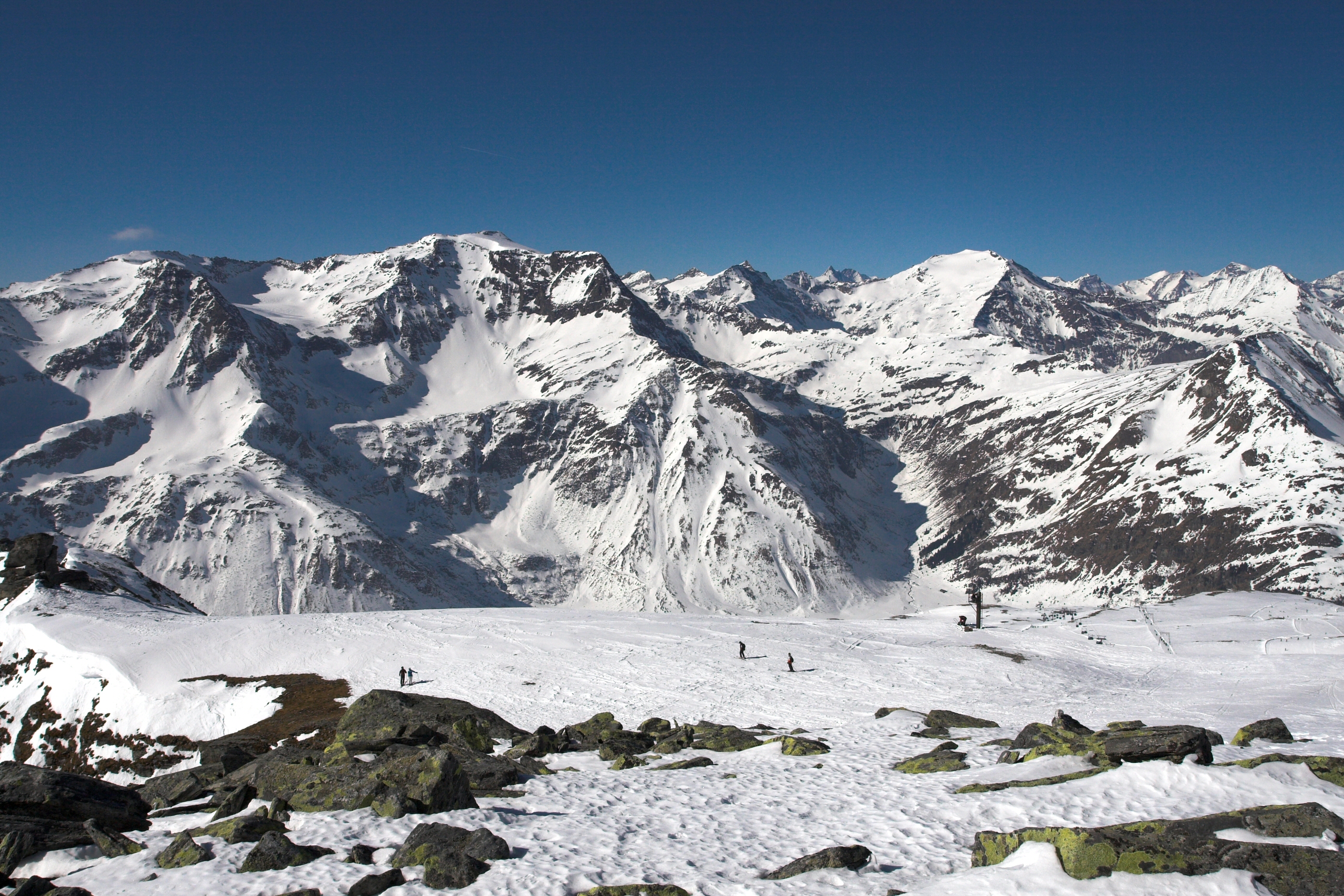
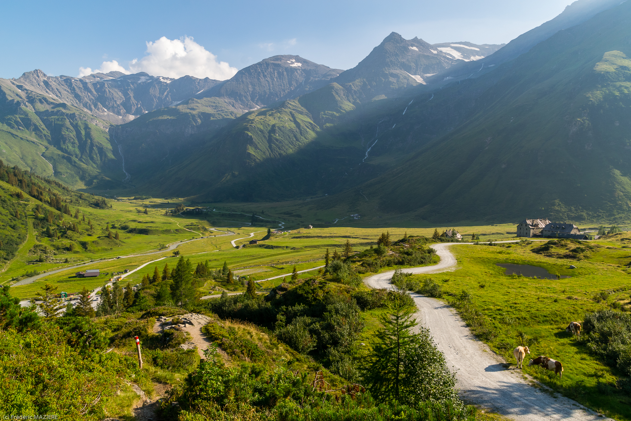
View from Kreuzkogel
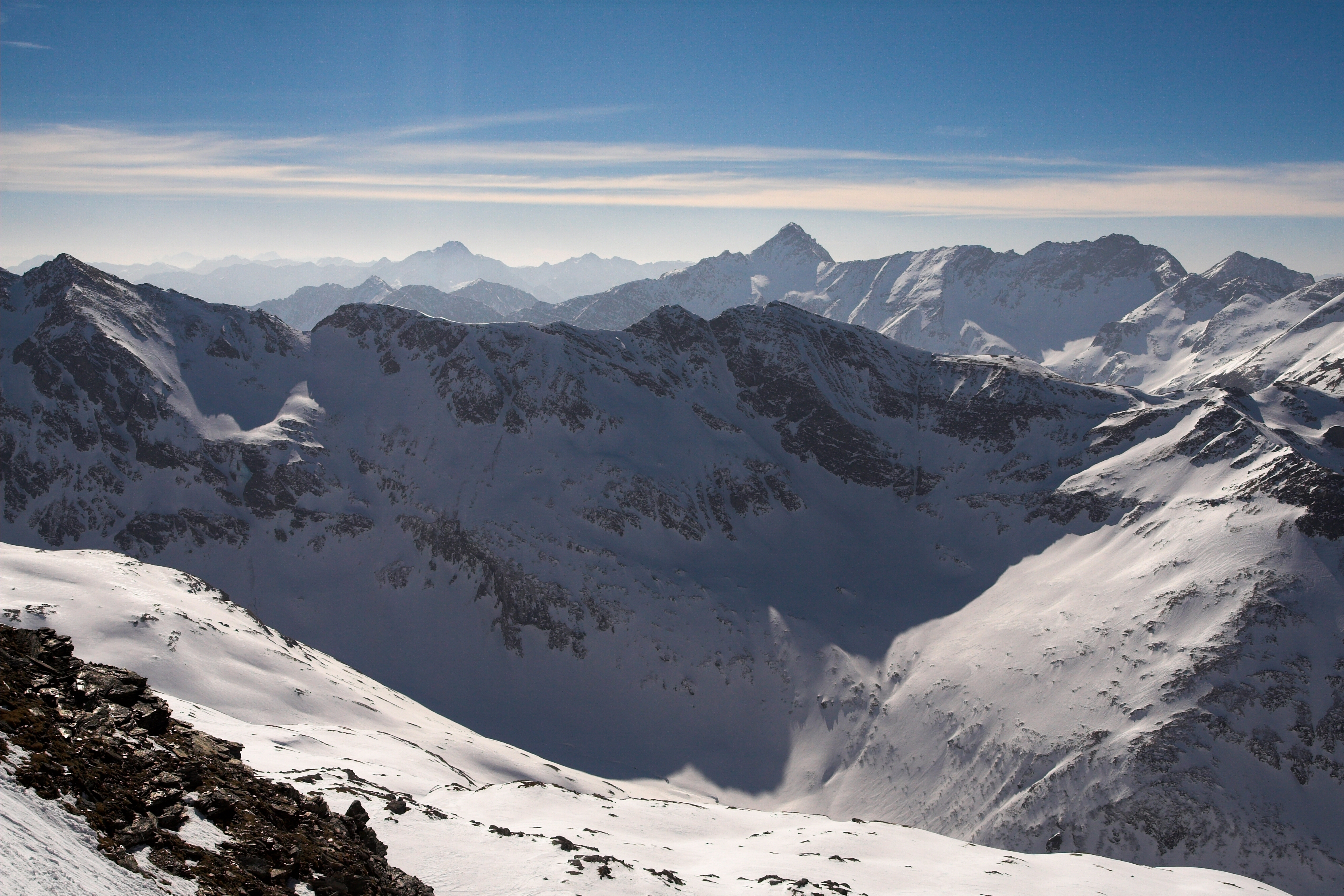
View from Kreuzkogel
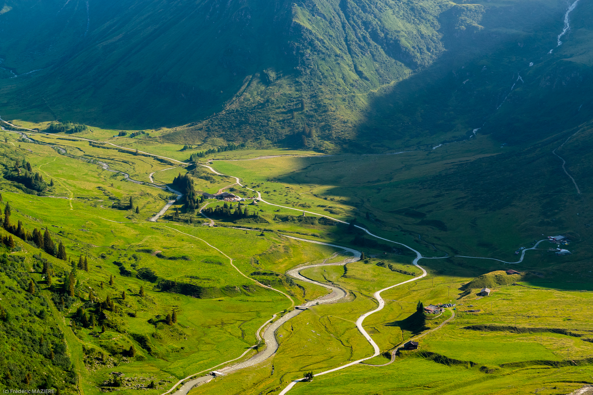
Dösen Valley (Hohe Tauern, Austrian Alps)
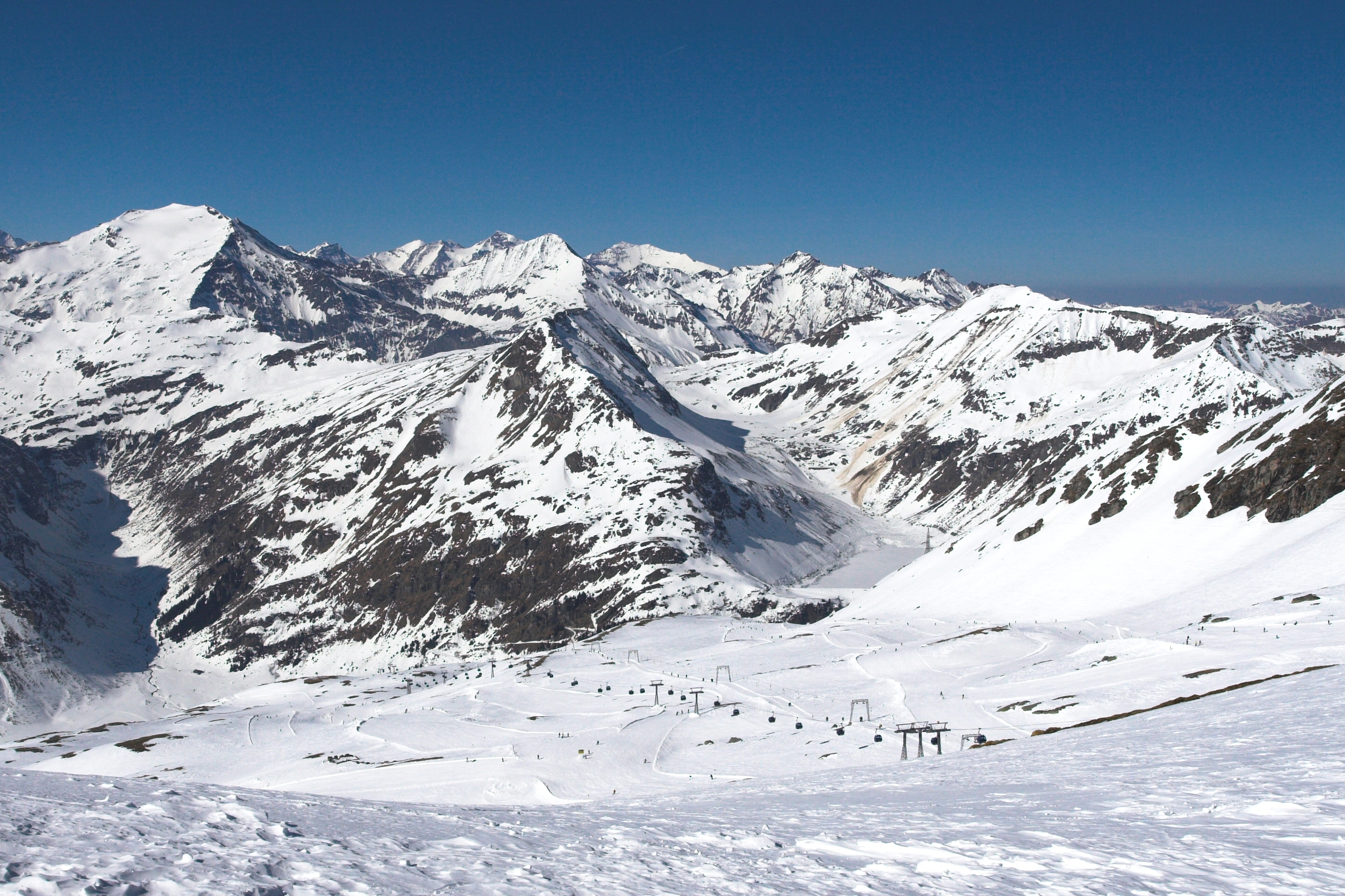
View from Kreuzkogel
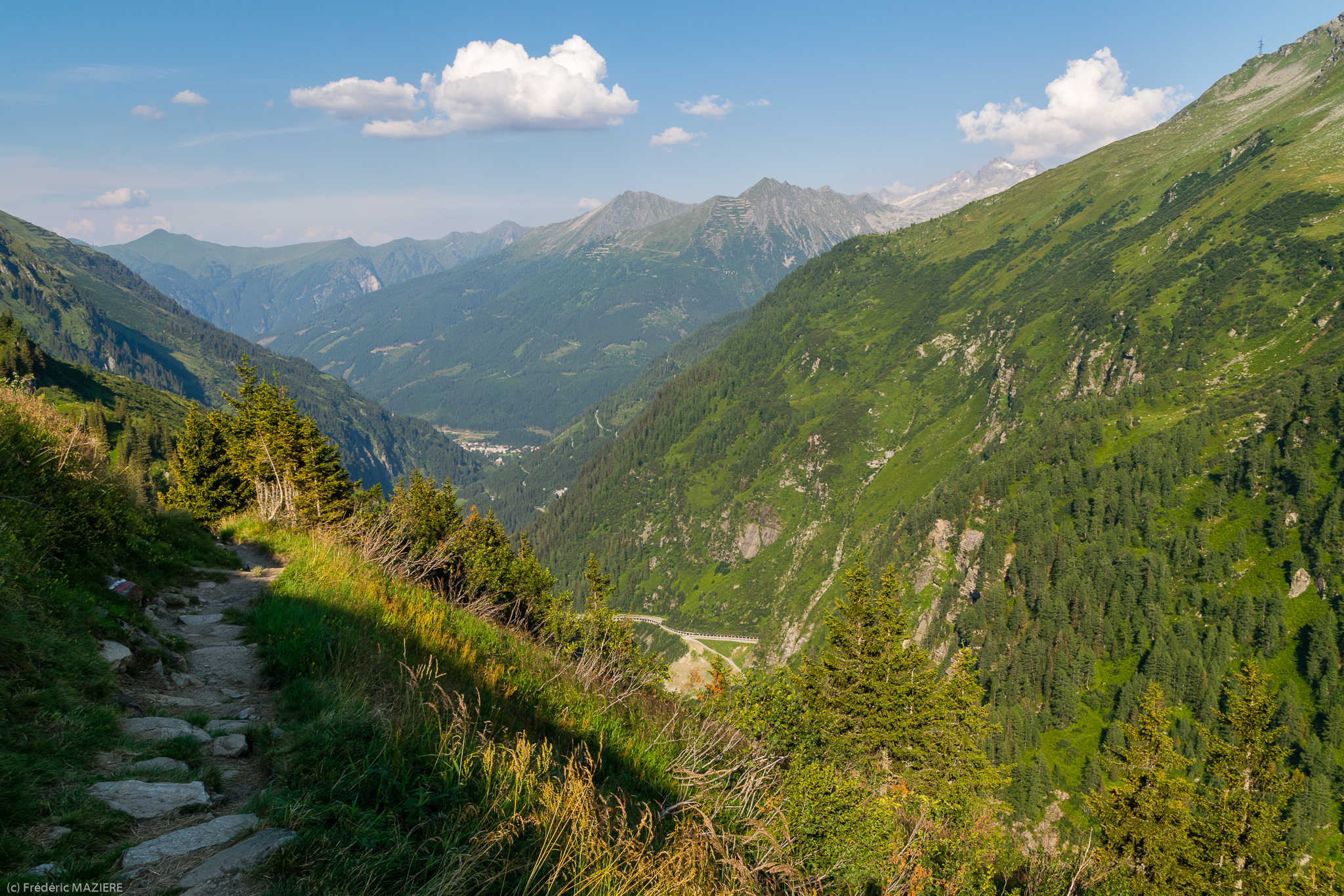
View from Hagener Hütte, Mallnitz, Austria
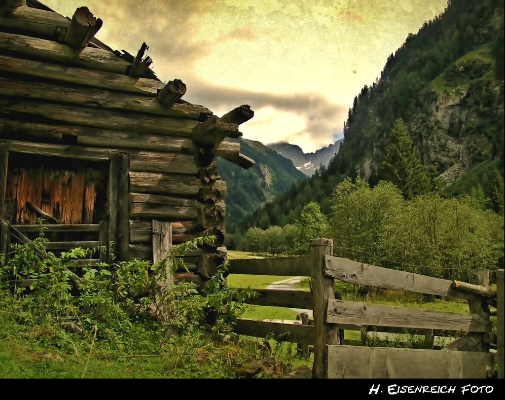
a schmucke Hittn
De Zitterauer Tisch à Nassfeld
De Zitterauer Tisch à Nassfeld

De Zitterauer Tisch à Nassfeld
De Zitterauer Tisch à Nassfeld
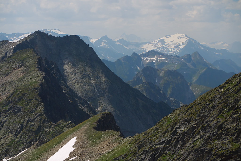
View from the Ankogel, Austria
De Zitterauer Tisch à Nassfeld

Magas Tauern-i kilátás / view from Lassacher Kees

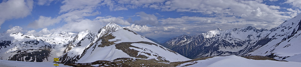
Panorama view from Sportgastein ski resort

2015.01.24. Bad Gastein

National park Hohe Tauern at Mallnitz

08.05.2012, RoLa
Rampa di lancio
Near clouds at Hagener Hütte (2448m)

The Arnold mausoleum on 2729 meters, below the Ankogel (3246m)

ÖBB 1144 + Taurus Obervellach

Water Cascade
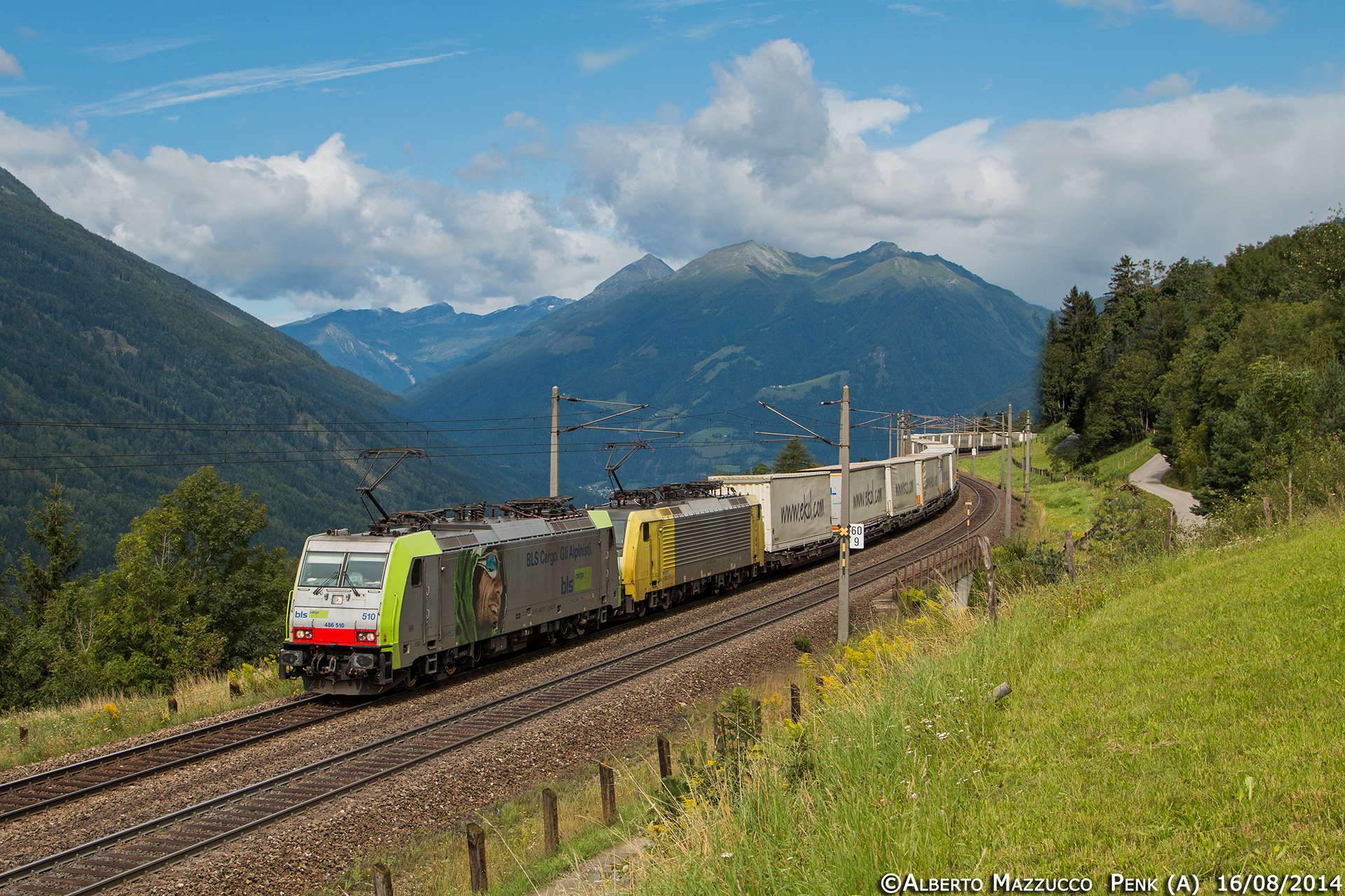
E486 510 + E189 926 Penk

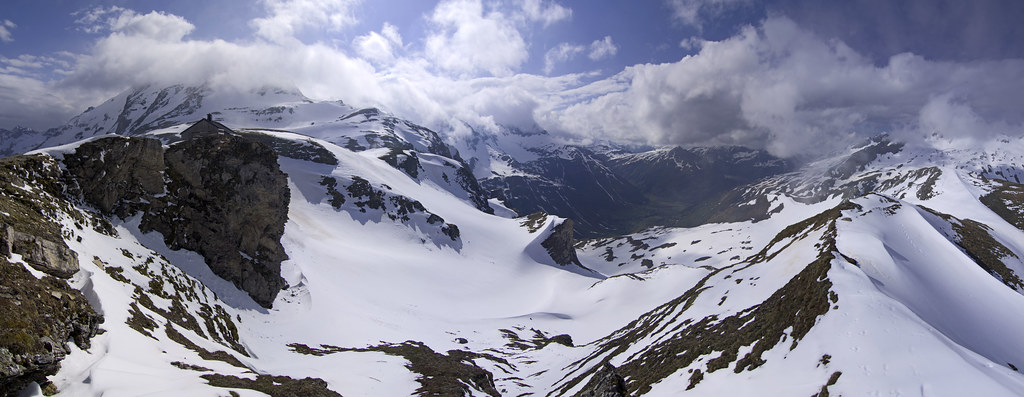
Last Snow

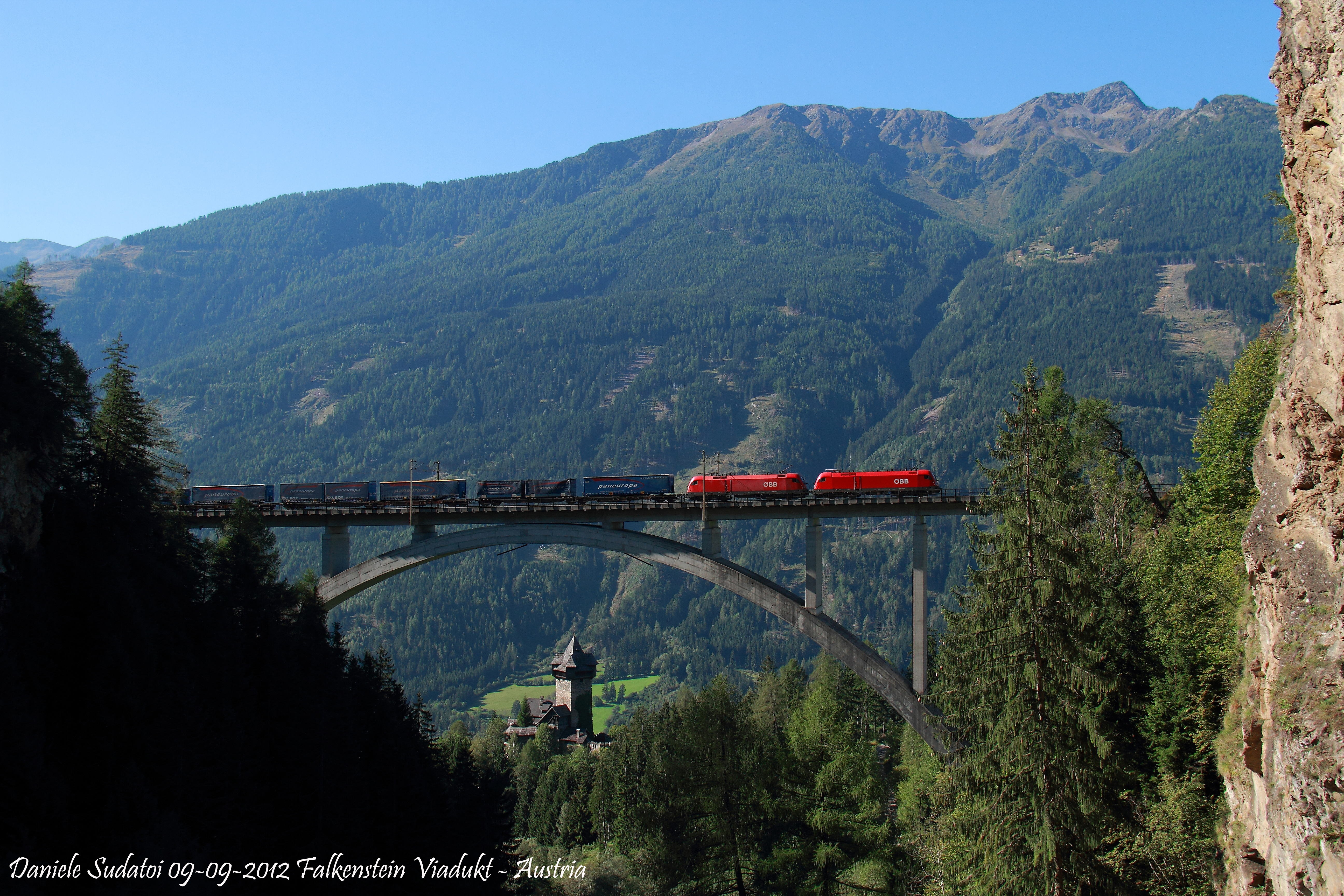
Burg Falkenstein Obervellach

Ankogel, pogled na Dolinu bradatog lešinara
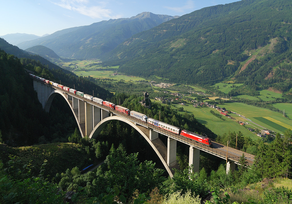
13.7.2010, Falkenstein-brücke

2015.01.24. Bad Gastein

2015.01.24. Bad Gastein

ÖBB 1144 + Taurus Obervellach

Asten 06

Fading away

Asten 12
Topographic Map of Gemeinde Flattach, Austria
Find elevation by address:

Places in Gemeinde Flattach, Austria:
Places near Gemeinde Flattach, Austria:
Obervellach-West 15, Obervellach-West, Austria
Obervellach
Innerfragant
Innerfragant 46
Rottenstein 2, Rottenstein, Austria
951/1
Naßfelderweg 14, Bad Gastein, Austria
Goldbergstraße 4, Bad Gastein, Austria
Mölltaler Gletscher
Zladisch
Zladisch 1, Zladisch, Austria
Badgastein
Gemeinde Bad Gastein
Amberg 4, Amberg, Austria
Leppen 65, Leppen, Austria
Weneberg 48, Weneberg, Austria
Zirknitz 13, Zirknitz, Austria
Greifenburg
Zandlach
Gemeinde Rangersdorf
Recent Searches:
- Elevation of Corso Fratelli Cairoli, 35, Macerata MC, Italy
- Elevation of Tallevast Rd, Sarasota, FL, USA
- Elevation of 4th St E, Sonoma, CA, USA
- Elevation of Black Hollow Rd, Pennsdale, PA, USA
- Elevation of Oakland Ave, Williamsport, PA, USA
- Elevation of Pedrógão Grande, Portugal
- Elevation of Klee Dr, Martinsburg, WV, USA
- Elevation of Via Roma, Pieranica CR, Italy
- Elevation of Tavkvetili Mountain, Georgia
- Elevation of Hartfords Bluff Cir, Mt Pleasant, SC, USA