Elevation of Anderson Cove Rd, Marshall, NC, USA
Location: United States > North Carolina > Madison County > 1, North Marshall > Marshall >
Longitude: -82.790583
Latitude: 35.8385295
Elevation: 827m / 2713feet
Barometric Pressure: 92KPa
Elevation Map:
Satellite Map:
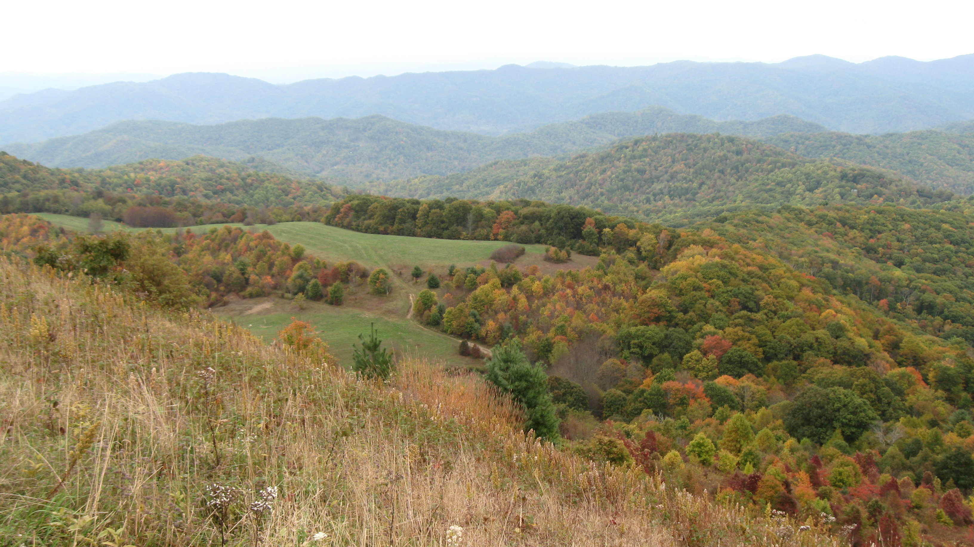
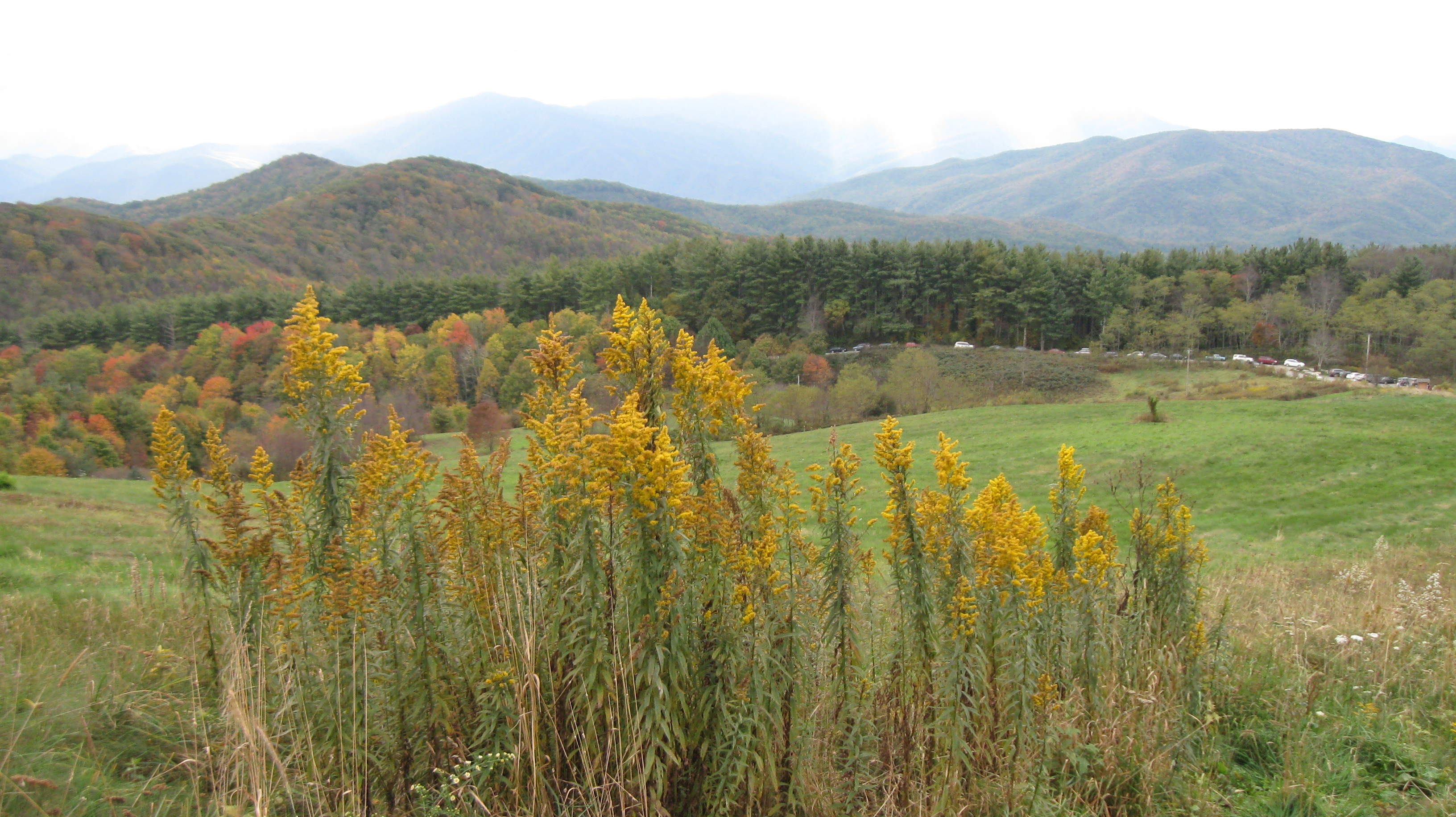
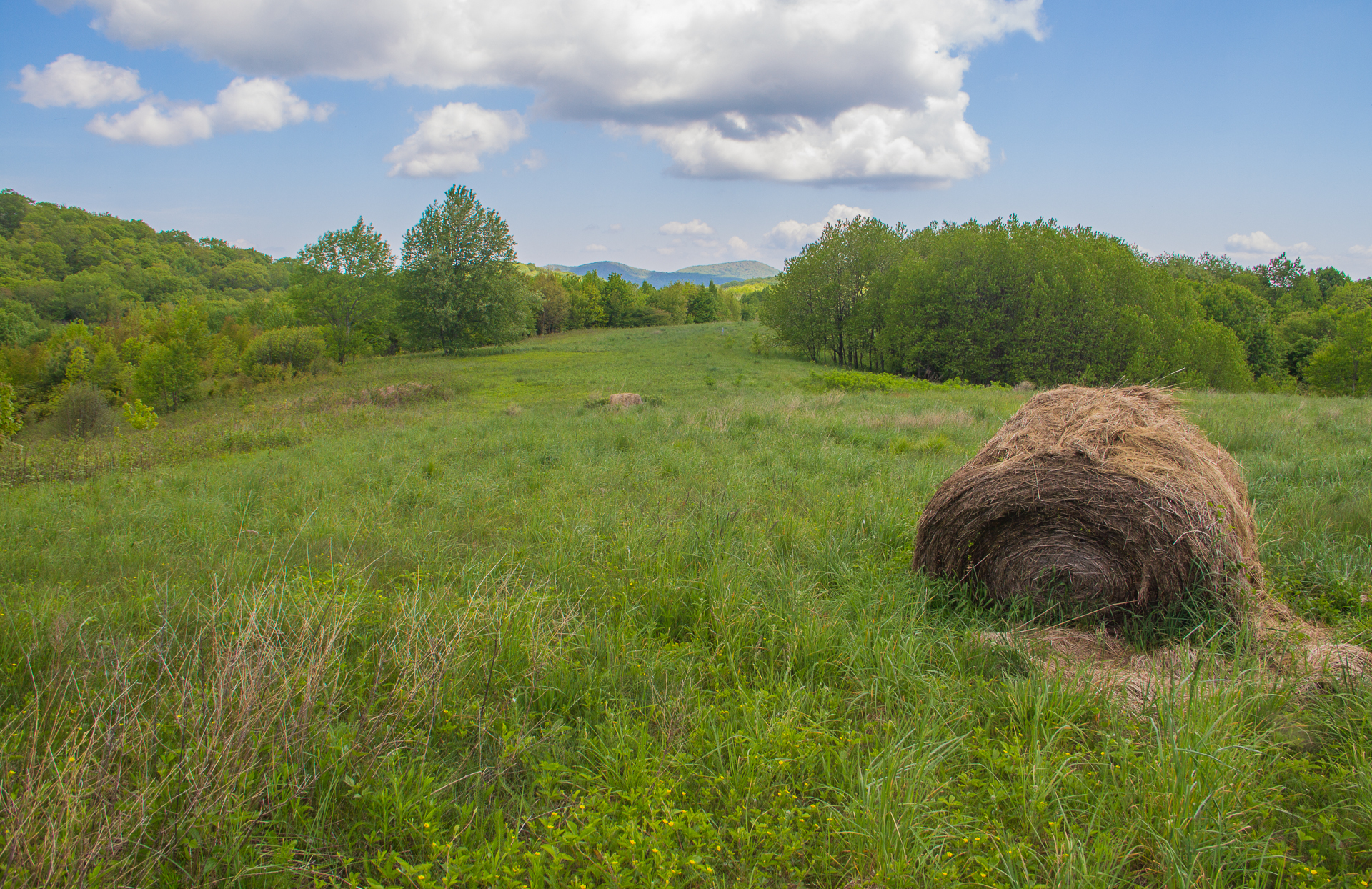
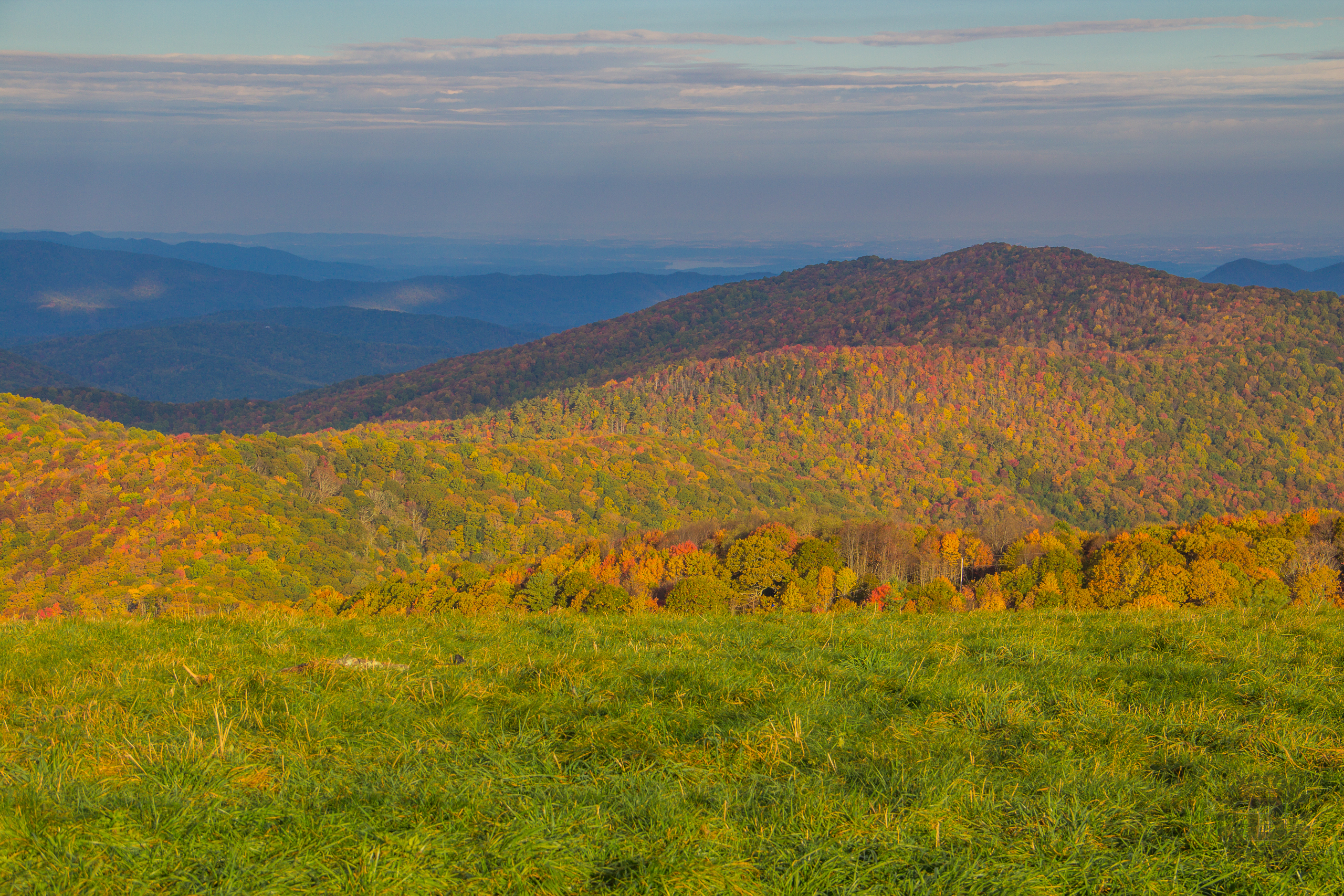
Related Photos:

Celebrating the 4th of July

Max Patch

The Smokey Mountains

Fall on Max Patch

Max Patch - October 12, 2013-052

NC 209 Scenic View
Max Patch - October 12, 2013-064

View from Max Patch

View from Max Patch

Hiked up to Max Patch for 360° of stunning views. #appalachiantrail #maxpatch #northcarolina

tracks & mountains

View from Max Patch, looking east

Morning view, after the rain. #visitNCfarms #ncwine #vineyard #gottobenc
Max Patch - October 12, 2013-036

The Appalachian Trail
Buckeye Ridge, Max Patch, North Carolina

View from Max Patch, looking east

Max Patch - October 12, 2013-065

Max Patch - October 12, 2013-026

Clouds and Stars during a Lightning Storm

View looking north from Max Patch

Max Patch mountain

Snowy Creek

20131103-PB034447

The Hike

back to the mountains

Photo Stream-684

Sandy Bottom Trail Rides

Paint Creek under starlight

Photo Stream-682

Max Patch, N.C.
Autumn's Finest at Max Patch, Pisgah National Forest, North Carolina

2013-11-19 13.41.21

Standing on top of #maxpatch , the bald #mountain. Beautiful #sunset behind #clouds

The Road Less Traveled
Topographic Map of Anderson Cove Rd, Marshall, NC, USA
Find elevation by address:

Places near Anderson Cove Rd, Marshall, NC, USA:
2375 Anderson Cove Rd
Anderson Cove Road
5, Walnut
827 Bodah Mountain Rd
Lorien Lane
700 Iris Crest Rd
2375 Anderson Cove Rd
Barnard Rd, Hot Springs, NC, USA
1823 Barnard Rd
1823 Barnard Rd
2685 West Rd
1258 Sugar Camp Rd
Big Pine
Big Pine Rd, Marshall, NC, USA
307 Wolf Run
Walnut
1 Barnard Rd
Walnut Drive
475 Walnut Dr
3217 Baltimore Branch Rd
Recent Searches:
- Elevation of 2 Henschke Ct, Caboolture QLD, Australia
- Elevation of Redondo Ave, Long Beach, CA, USA
- Elevation of Sadovaya Ulitsa, 20, Rezh, Sverdlovskaya oblast', Russia
- Elevation of Ulitsa Kalinina, 79, Rezh, Sverdlovskaya oblast', Russia
- Elevation of 72-31 Metropolitan Ave, Middle Village, NY, USA
- Elevation of 76 Metropolitan Ave, Brooklyn, NY, USA
- Elevation of Alisal Rd, Solvang, CA, USA
- Elevation of Vista Blvd, Sparks, NV, USA
- Elevation of 15th Ave SE, St. Petersburg, FL, USA
- Elevation of Beall Road, Beall Rd, Florida, USA