Elevation of Allègre, France
Location: France > Haute-loire >
Longitude: 3.712038
Latitude: 45.200105
Elevation: 1048m / 3438feet
Barometric Pressure: 89KPa
Elevation Map:
Satellite Map:
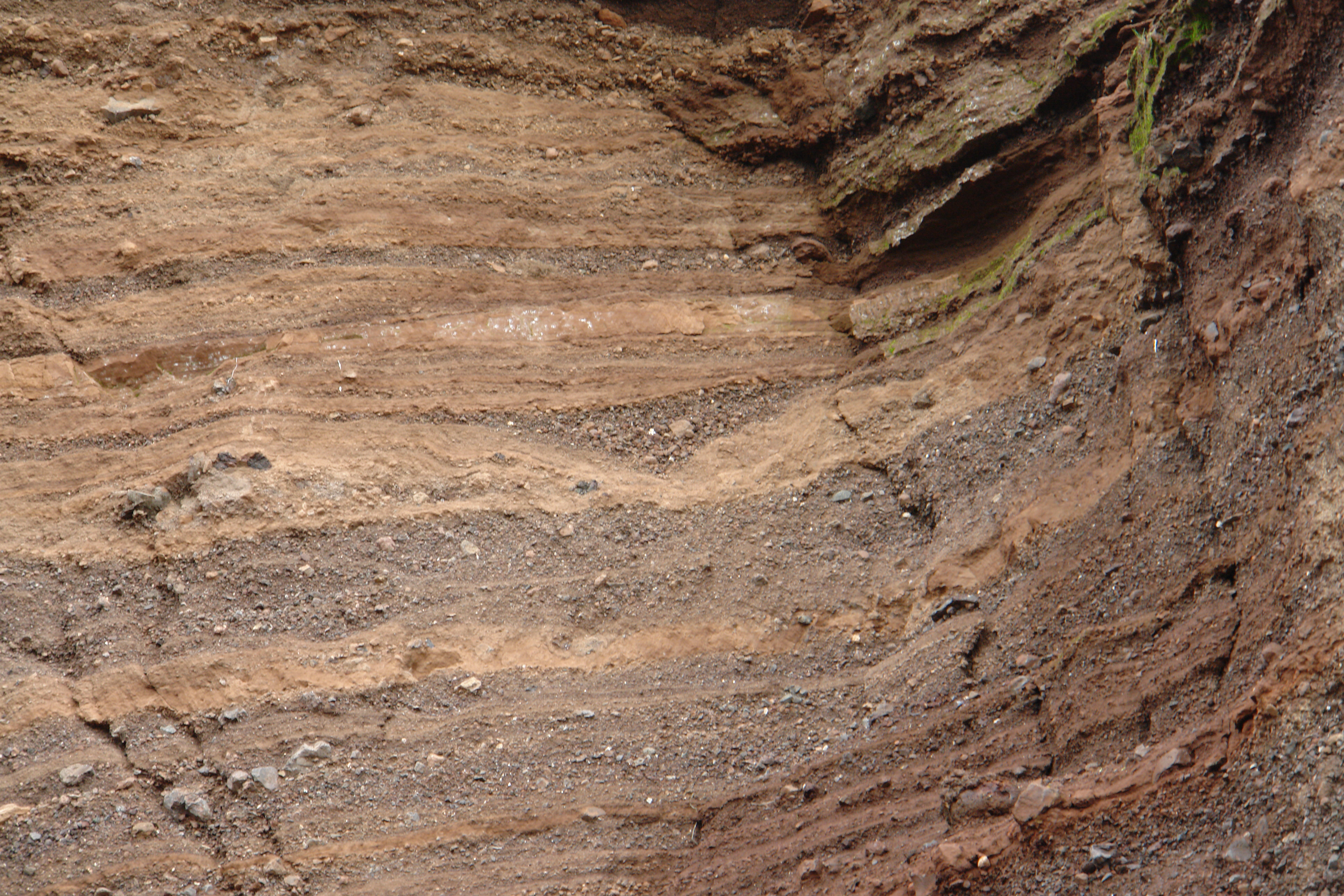
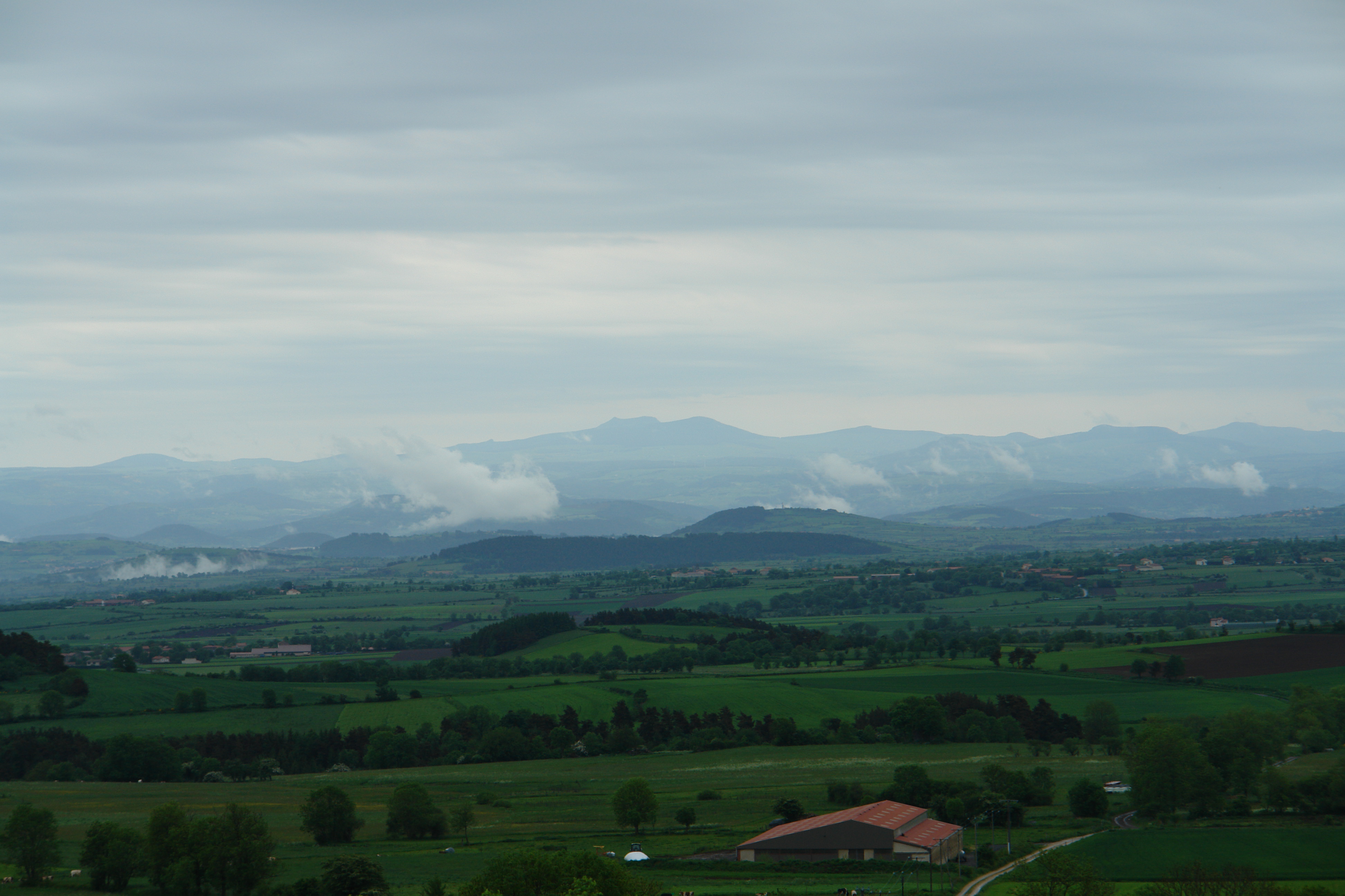
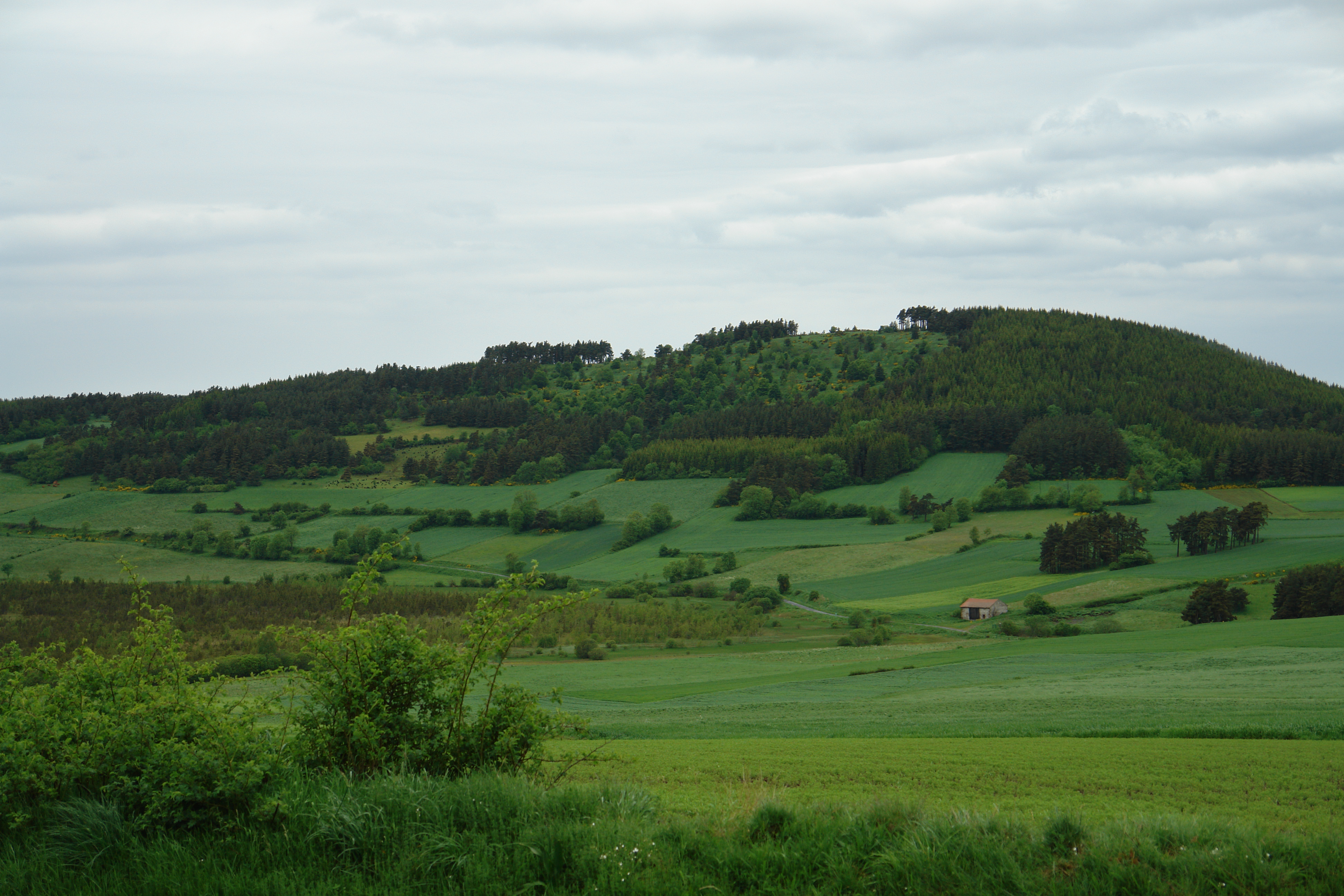
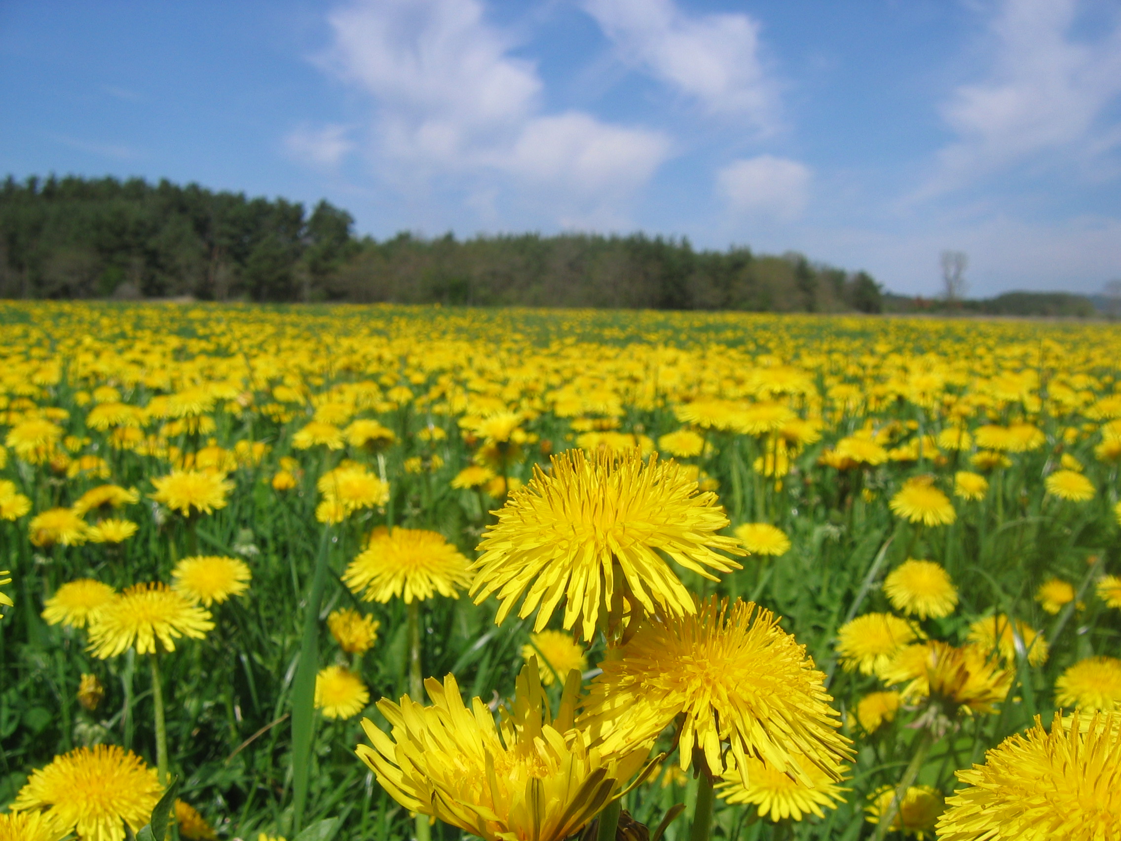
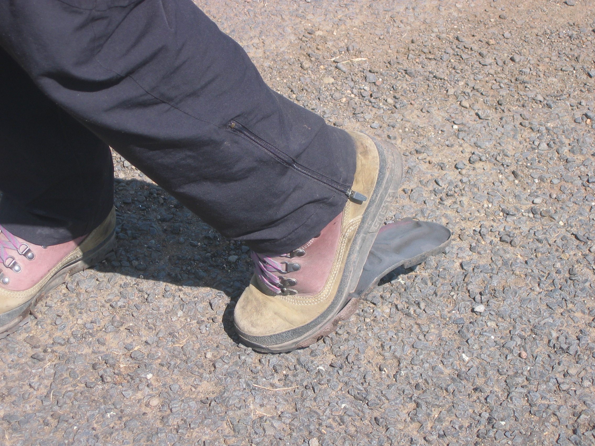
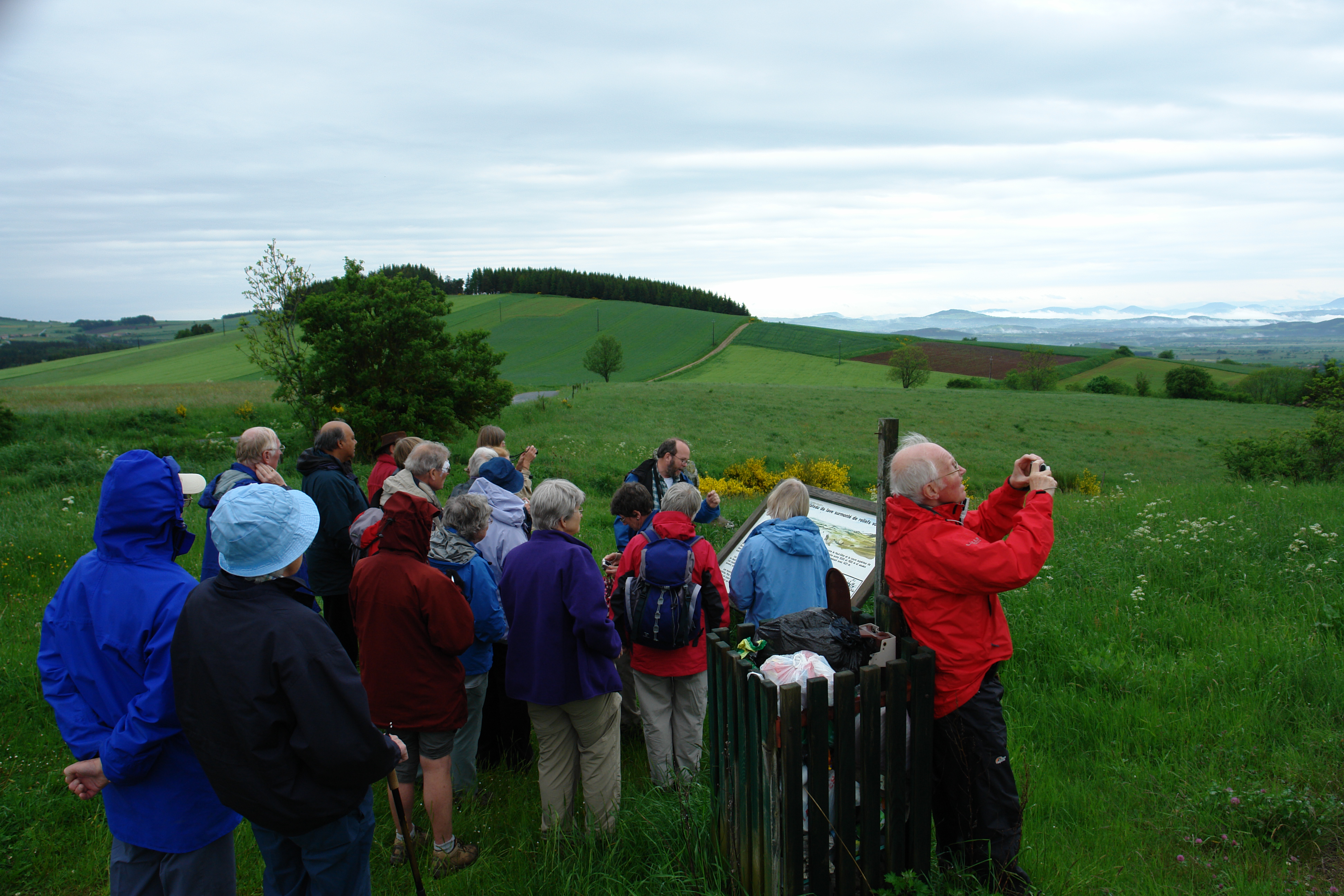
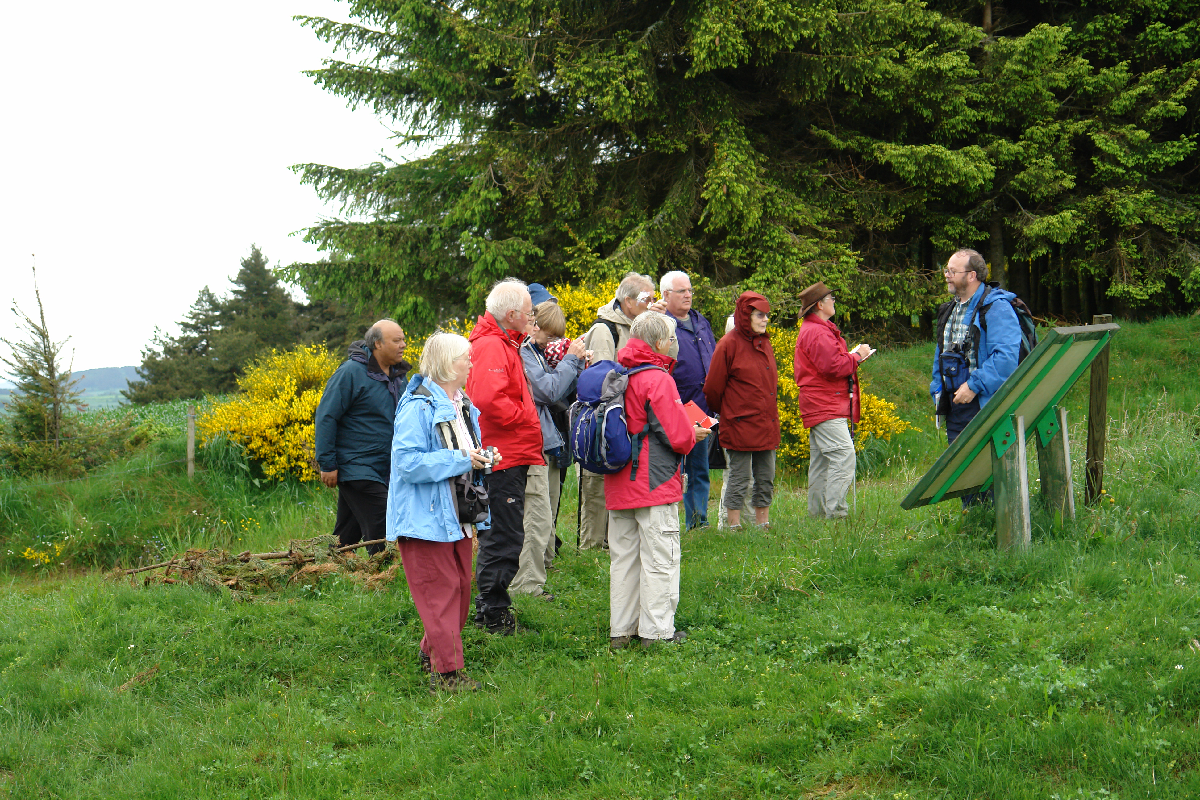
Related Photos:
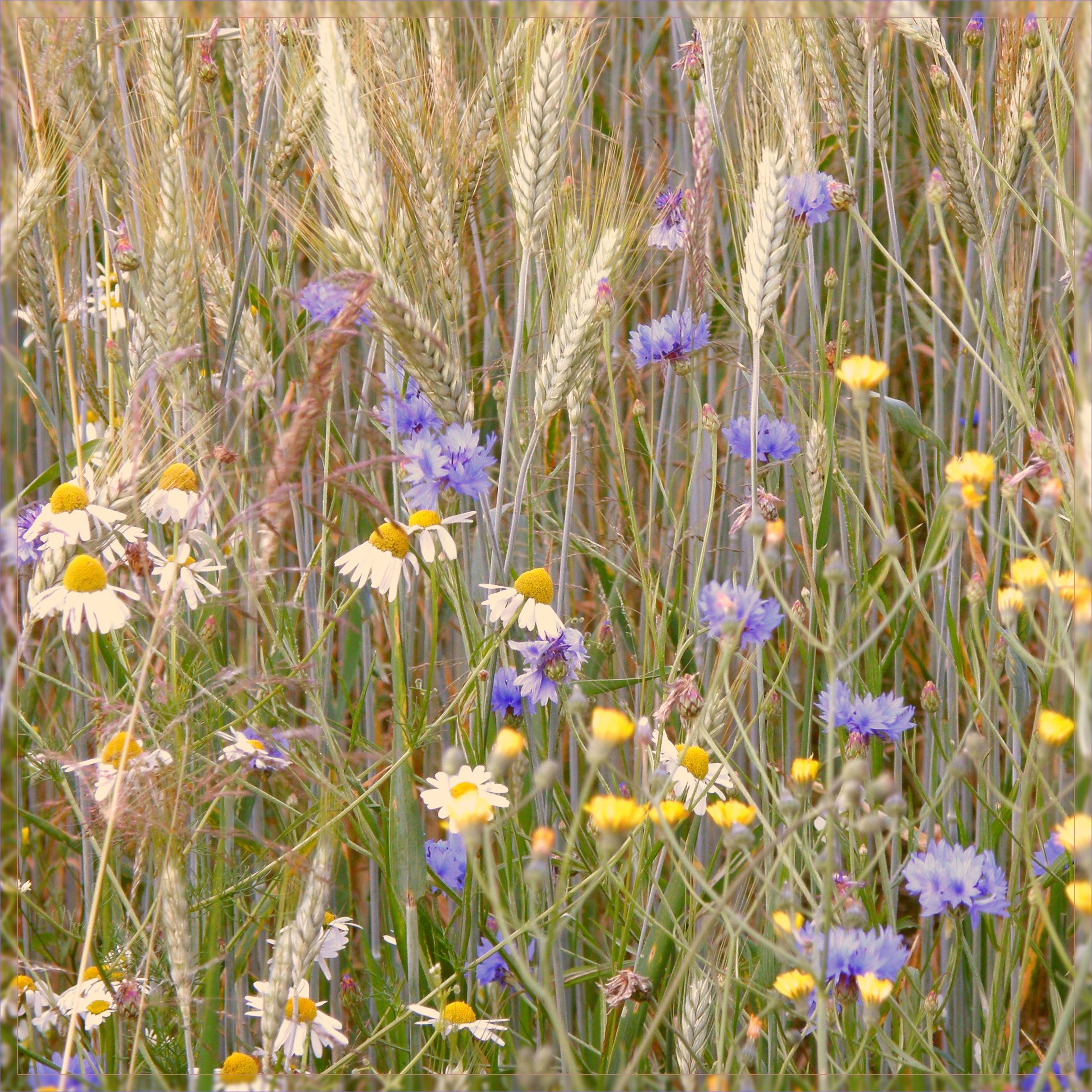
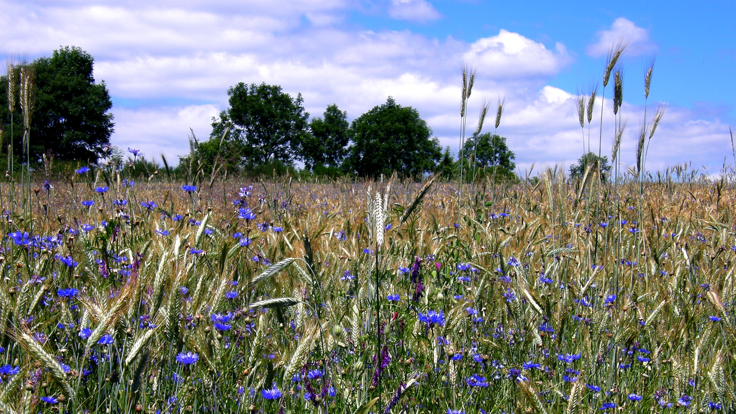
fleurs des champs
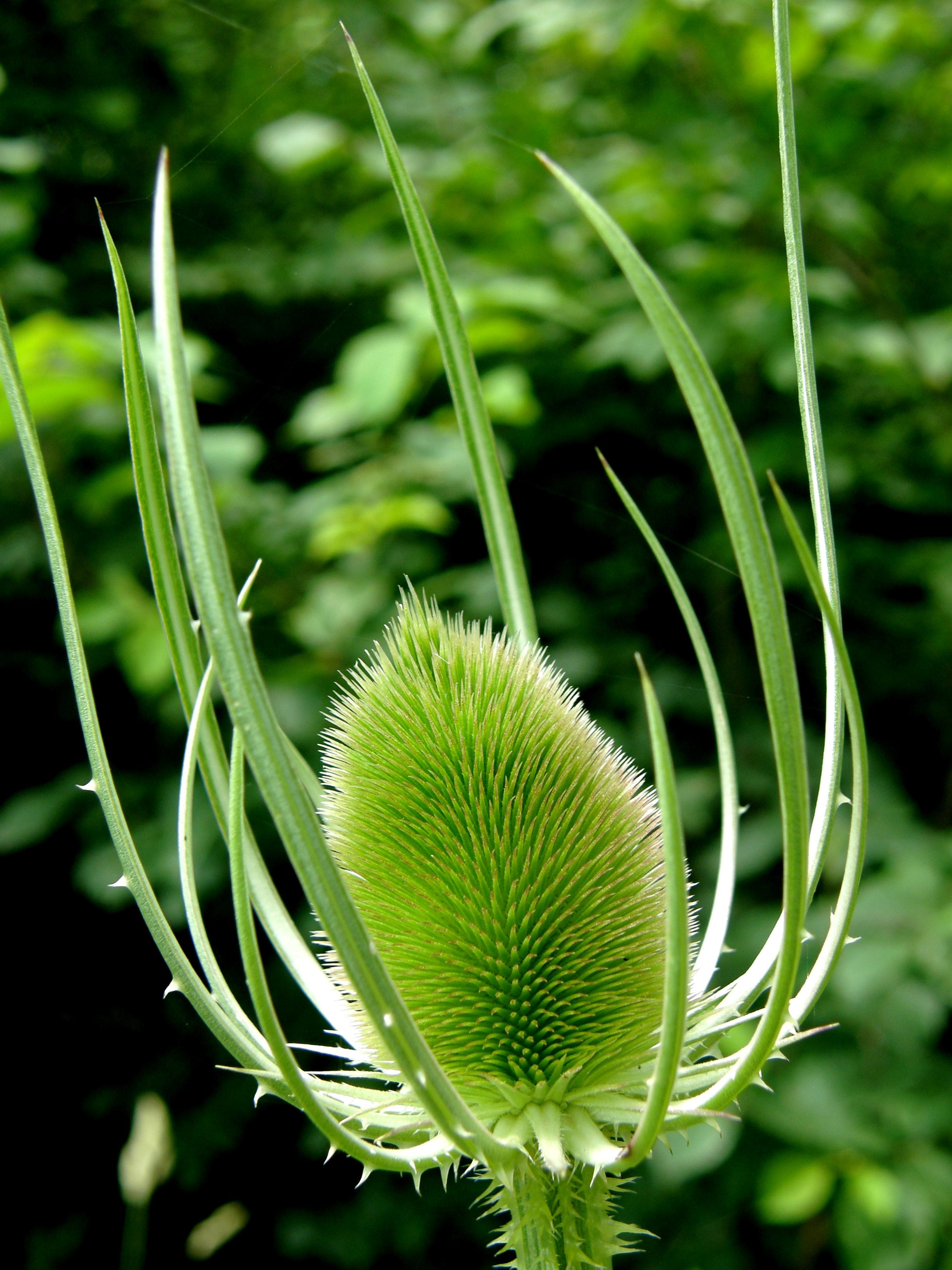
cardère / teasel
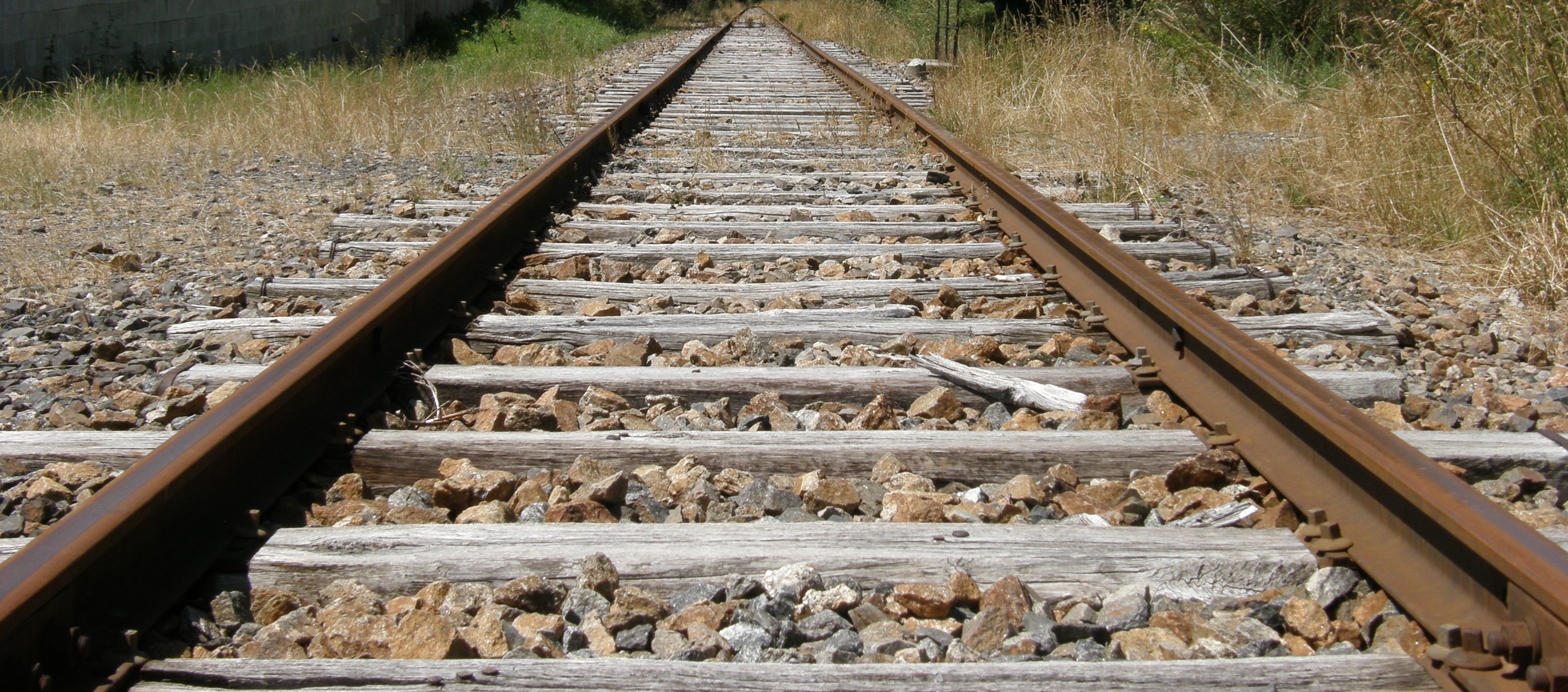
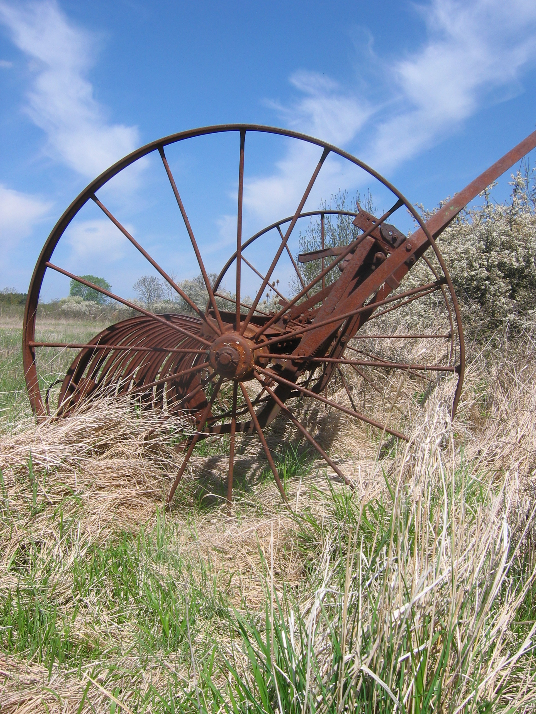
parallèles
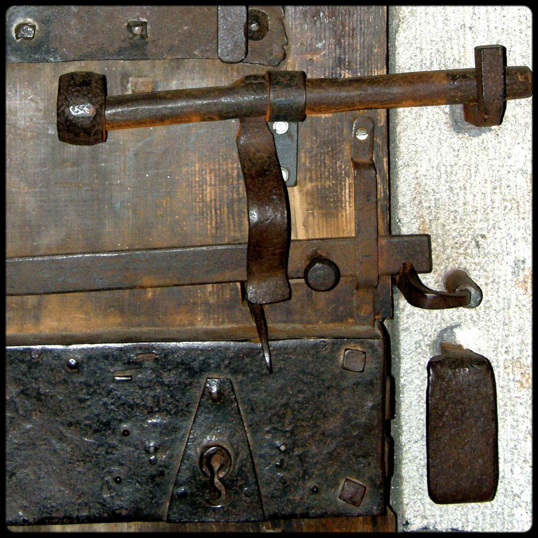
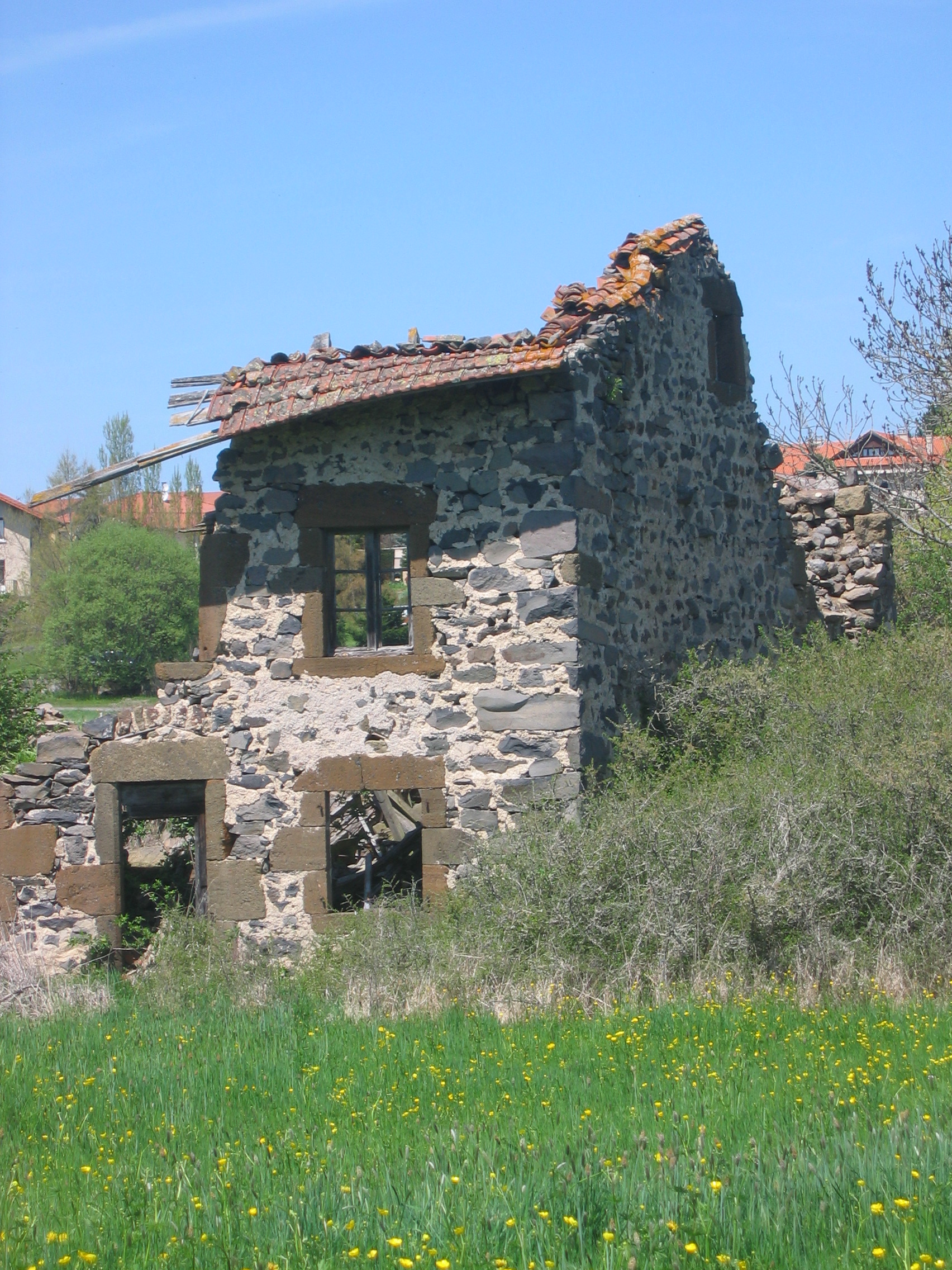
C'est fermé ! Closed!
DSC08266.JPG
DSC08272.JPG
DSC08265.JPG
DSC08275.JPG
DSC08279.JPG
DSC08269.JPG

DSC08267.JPG
DSC08274.JPG
IMG_8388.JPG
IMG_8395.JPG
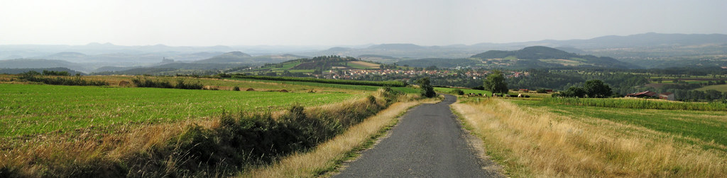
IMG_8383_pano.jpg
DSC08270.JPG
DSC08273.JPG
IMG_8393.JPG
IMG_8389.JPG
IMG_8385.JPG
IMG_8386.JPG
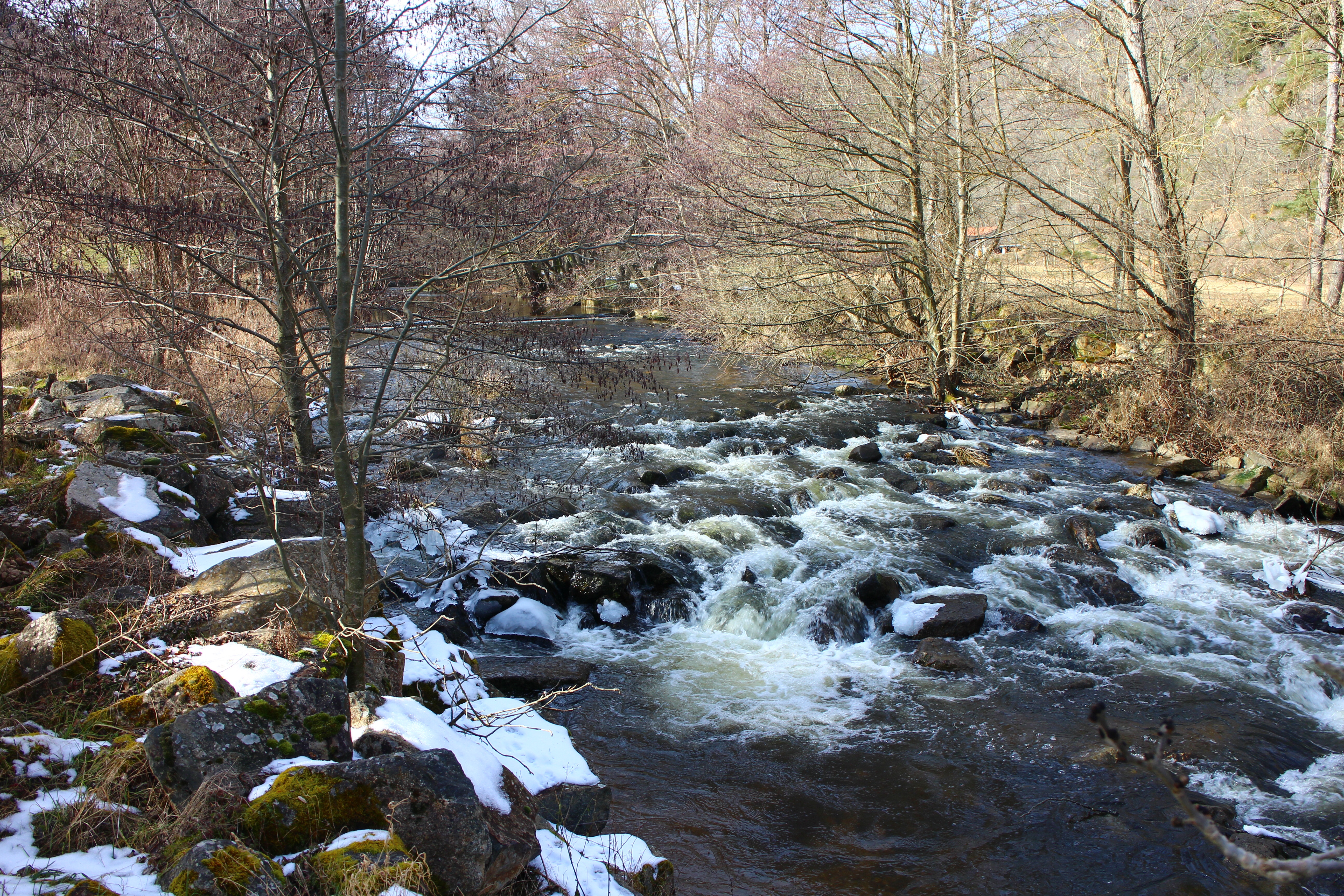
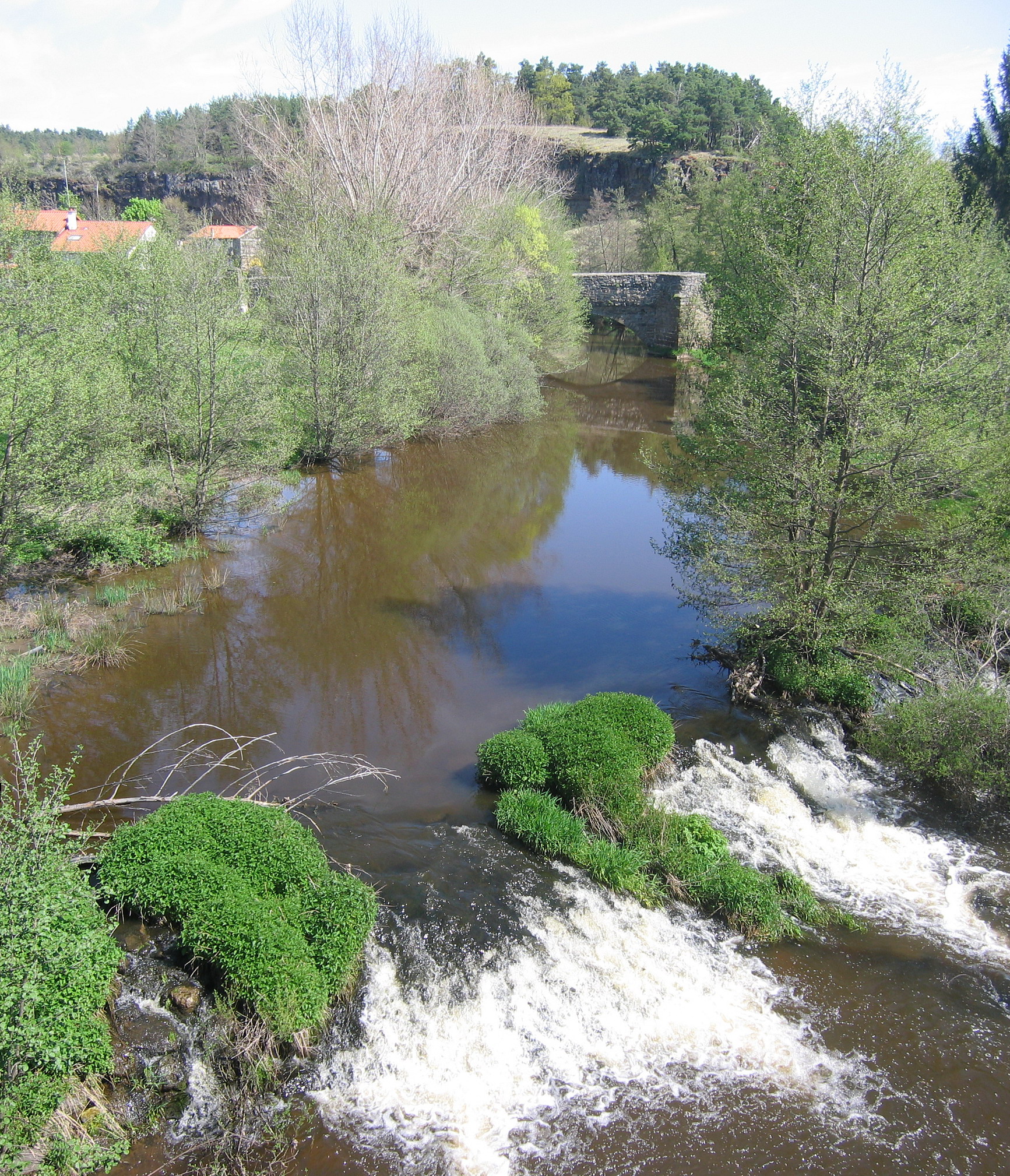
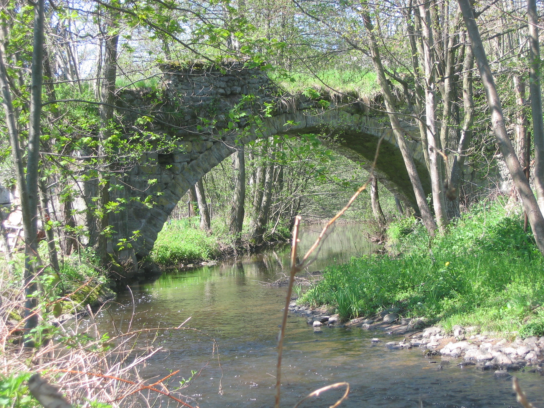
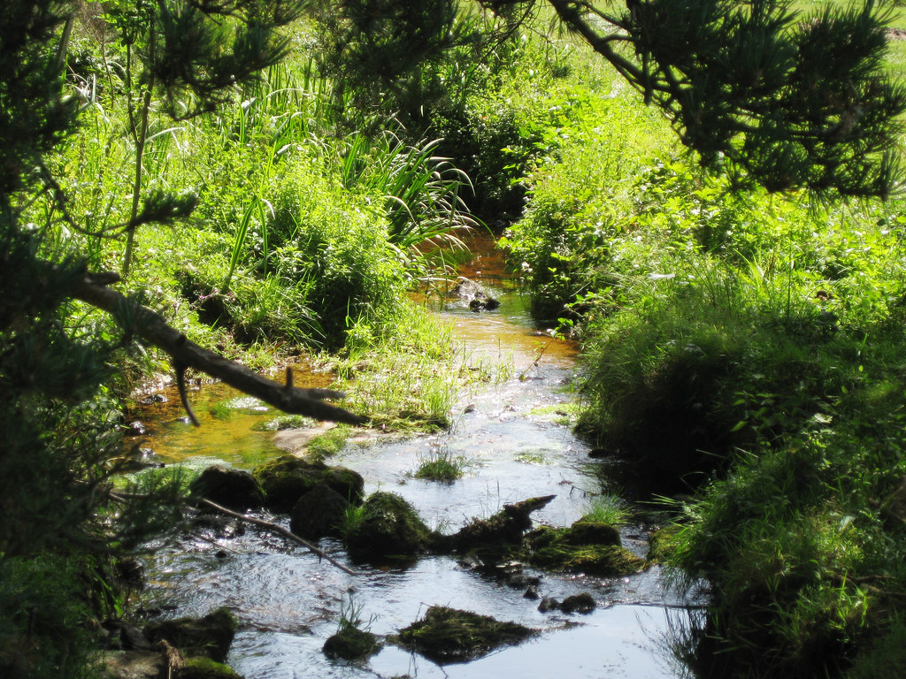
Rivière L'arzon
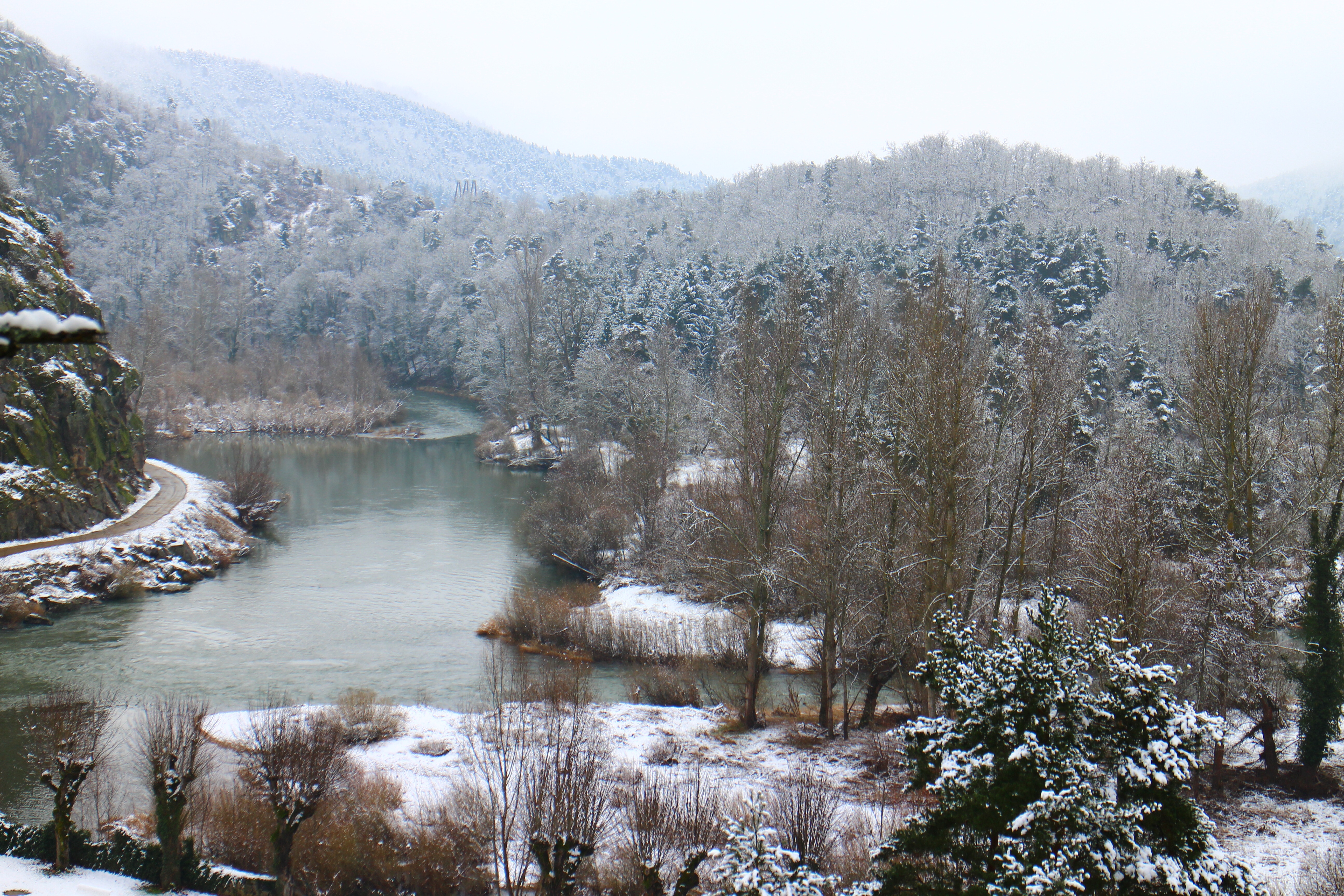
L'hiver
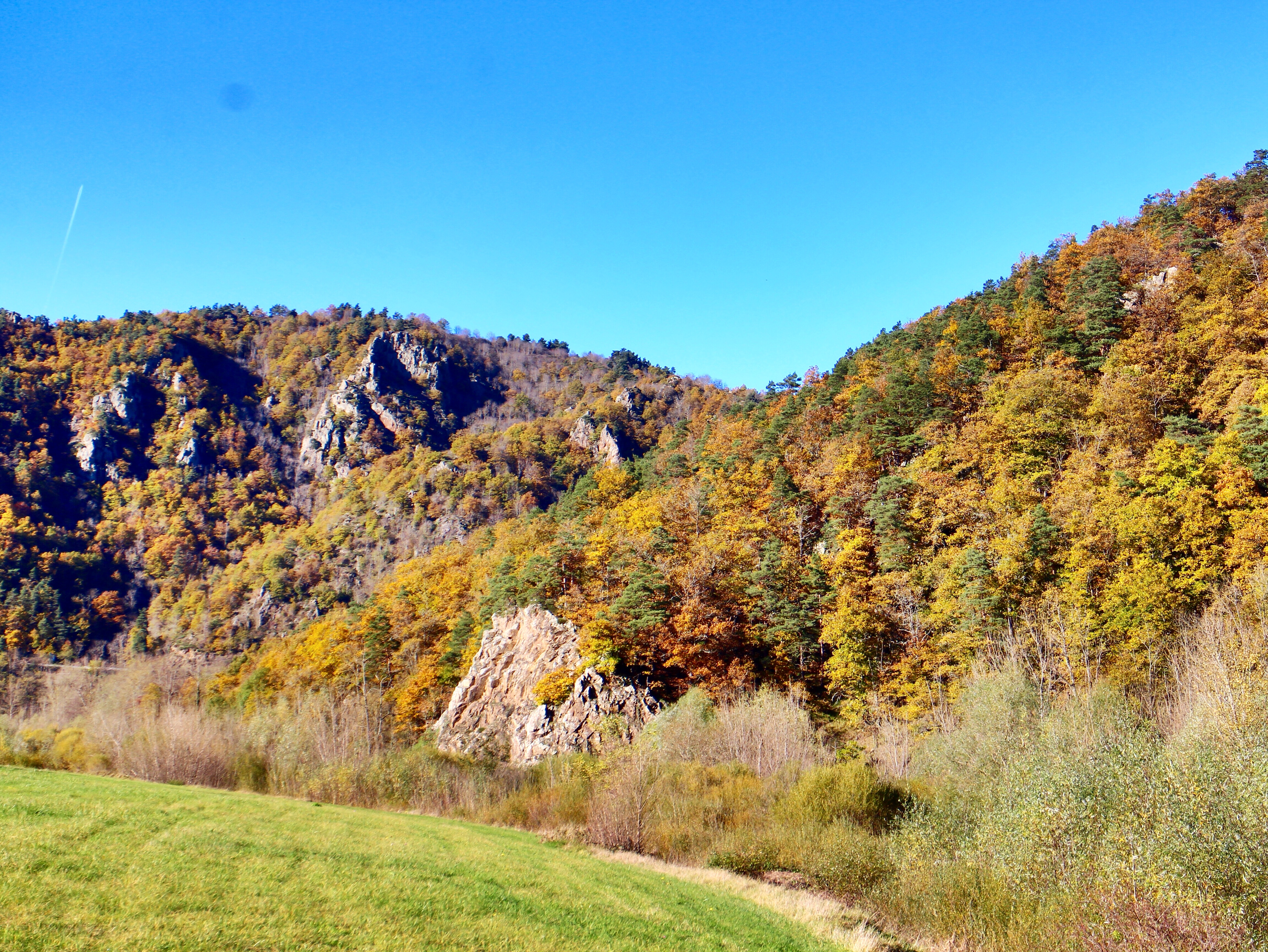
L'automne

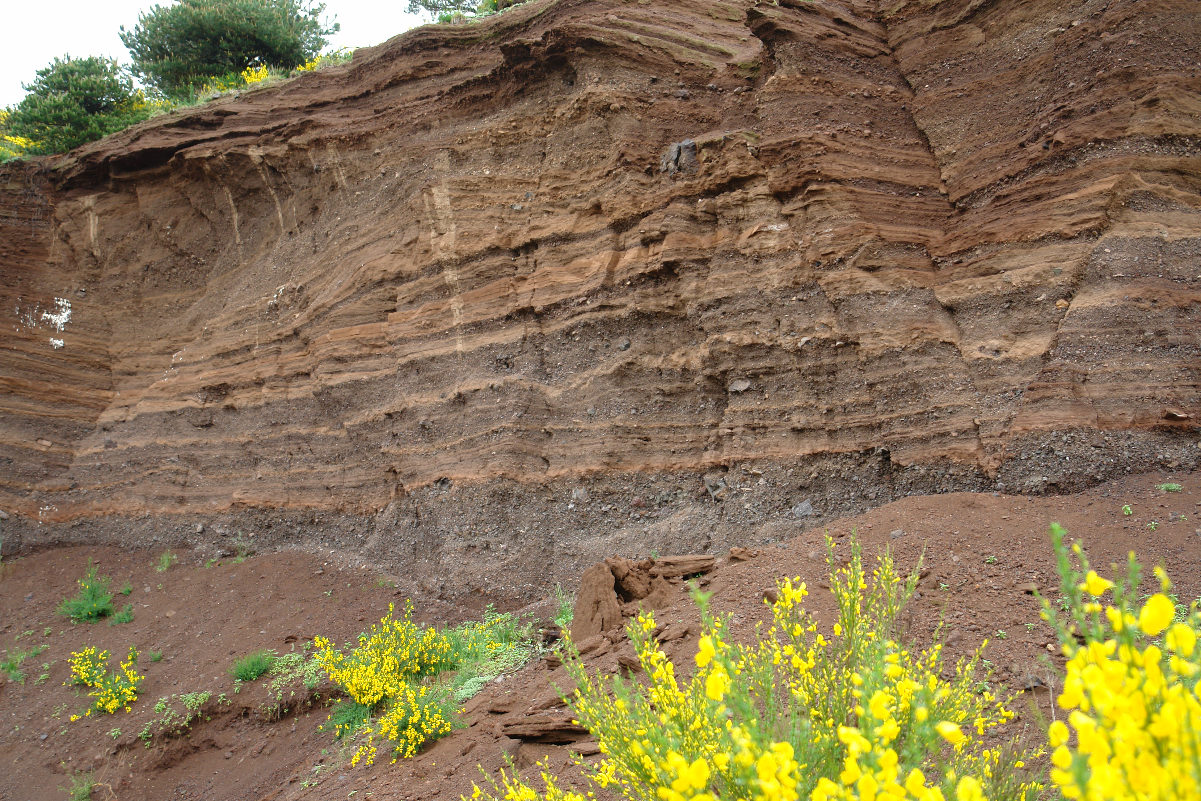
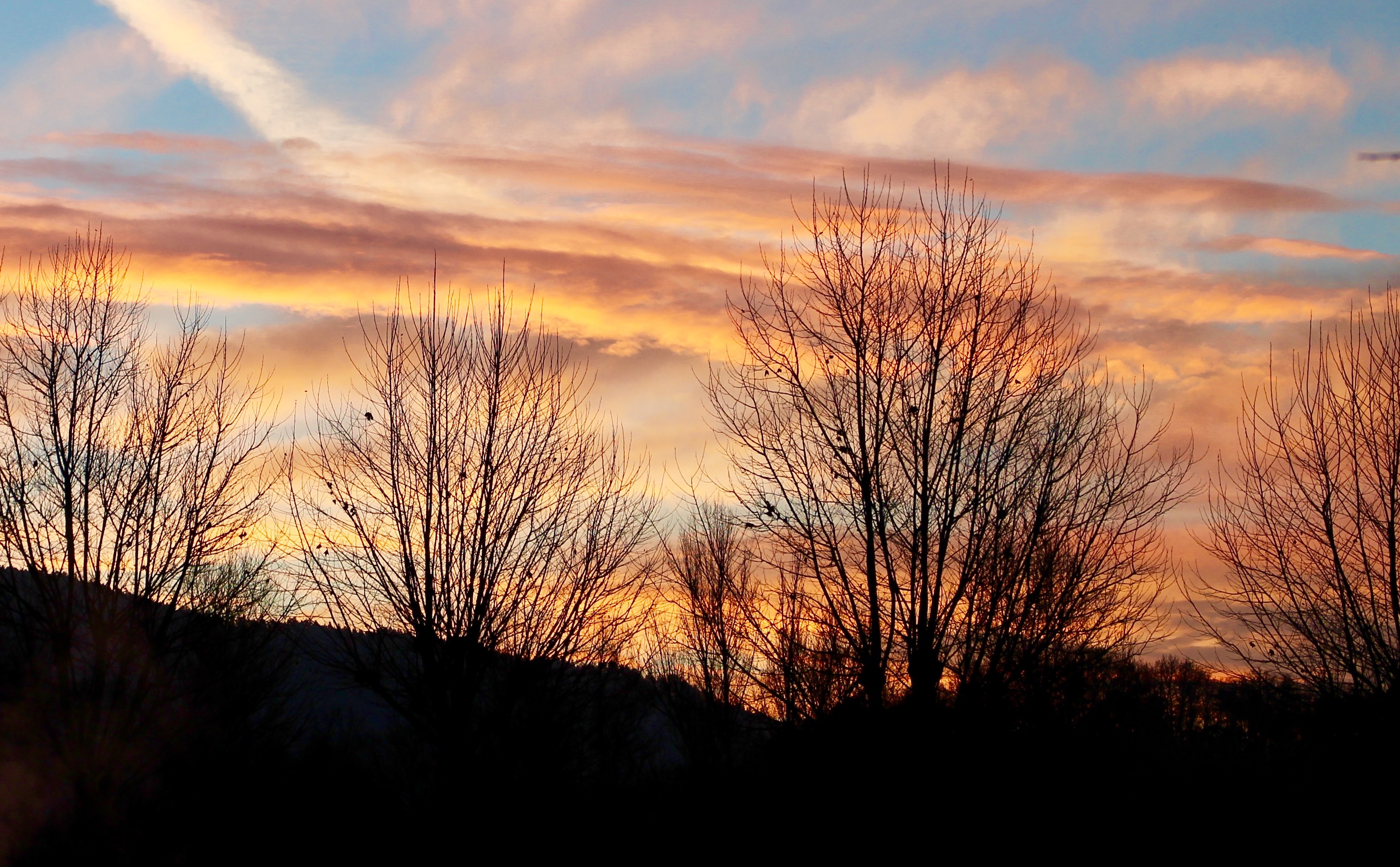
Ciel en feu

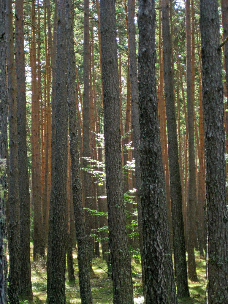
Sous bois
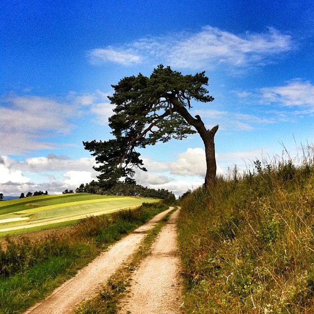
Arbre courbé. #auvergne #igersfrance
Le jour se lève

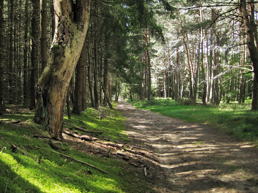
Autumn colours in the local woods.
Camino 2012
Camino 2012
Camino 2012
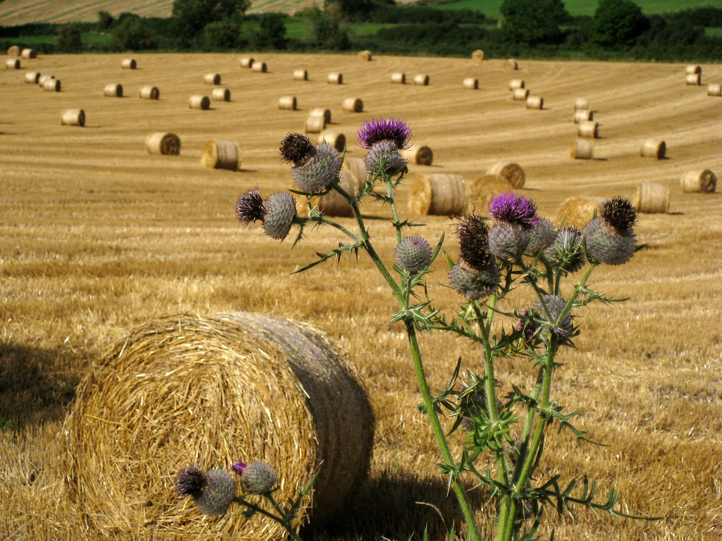
campagne casadéenne
Alentour de Corey
Camino 2012
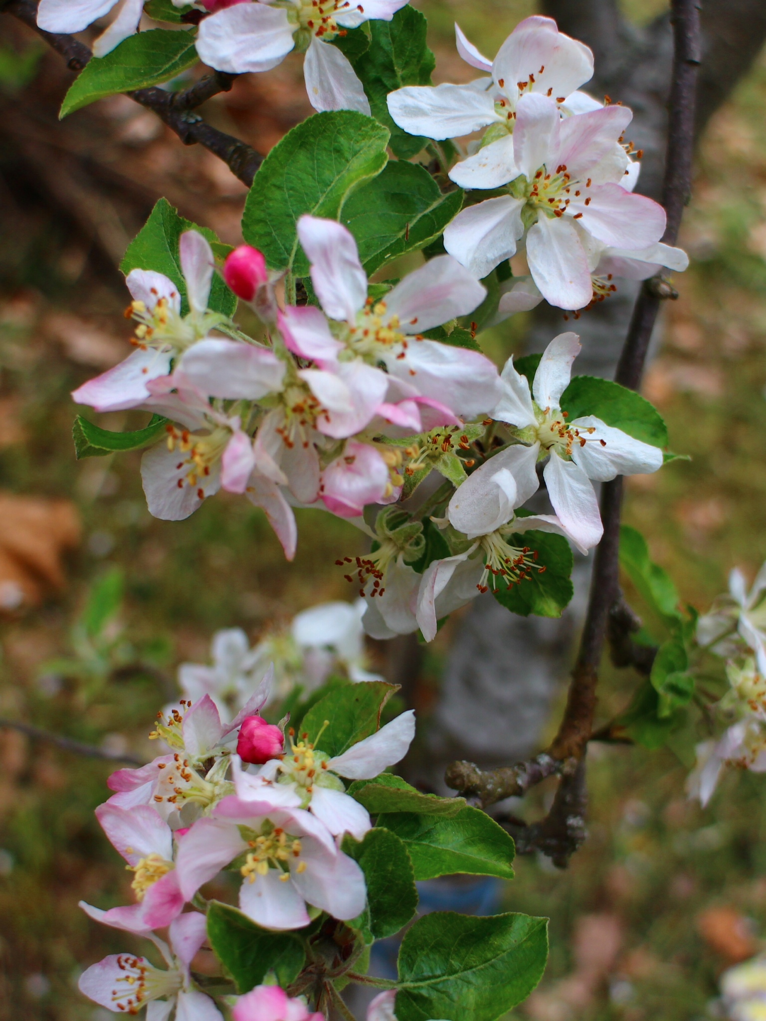
Fleurs de pommier
Camino 2012
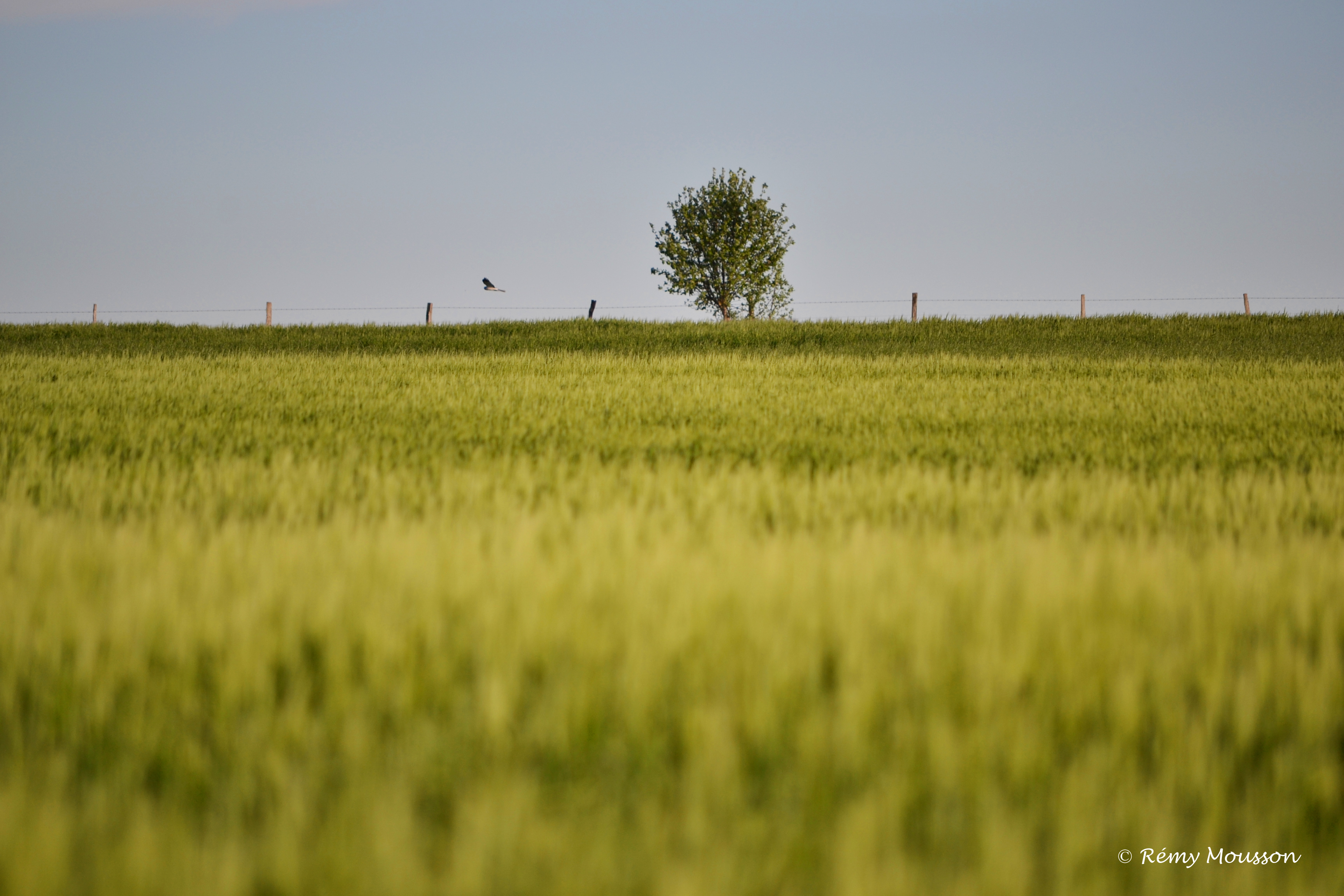
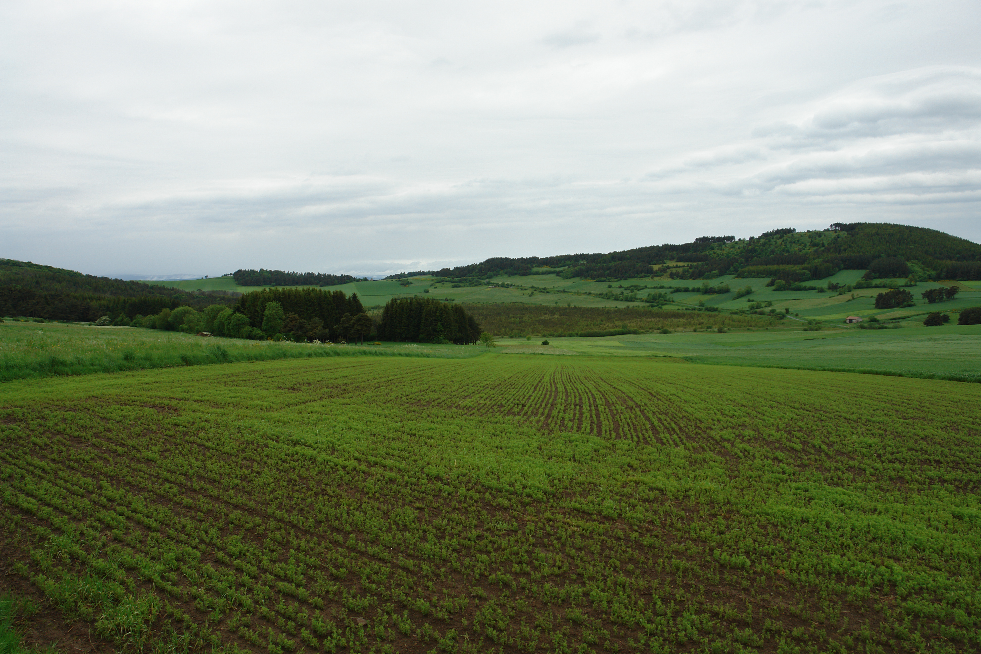
Champ - printemps 2013
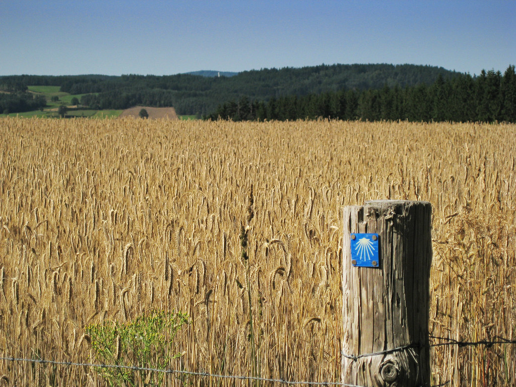
Camino 2012
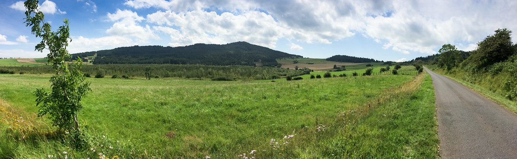
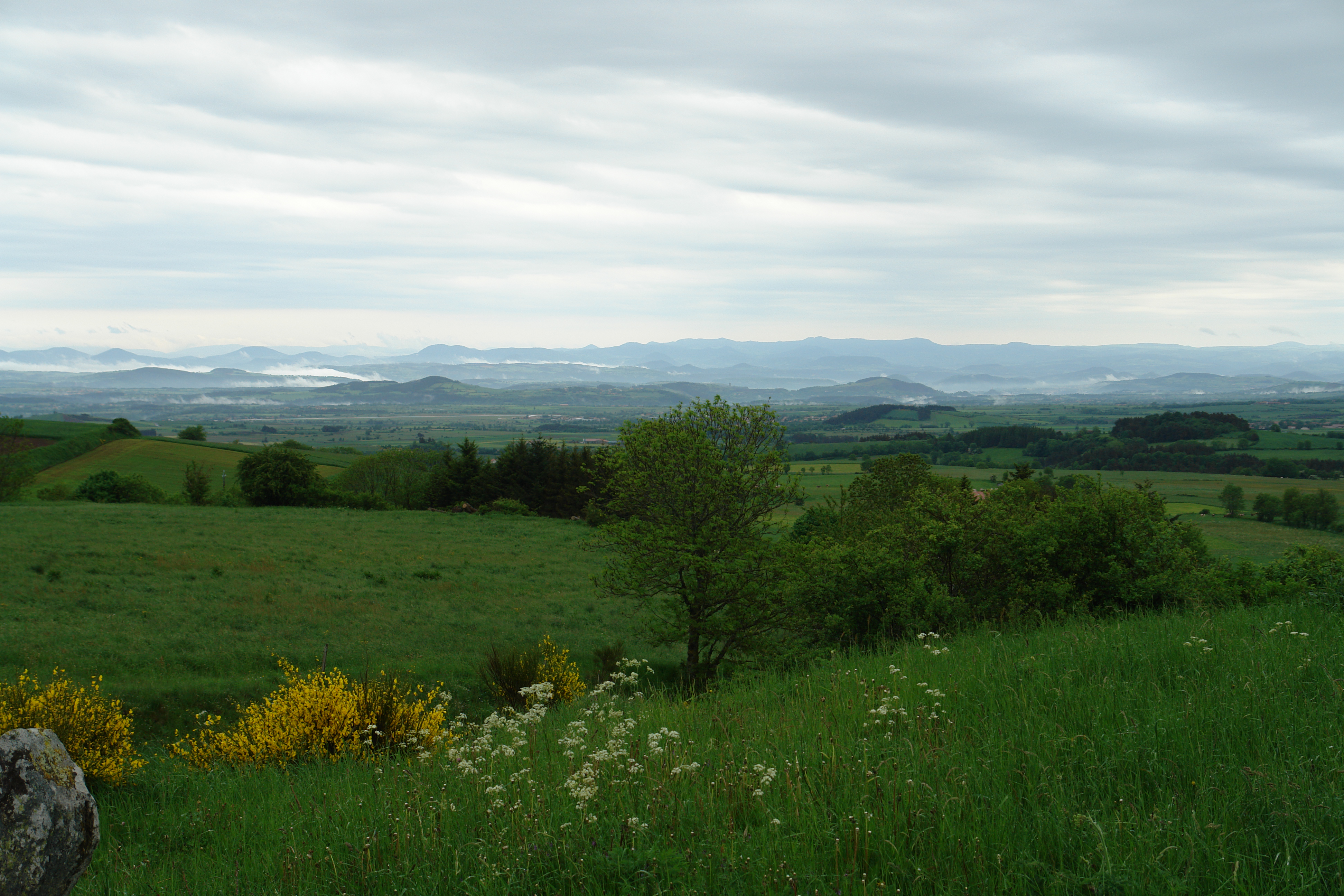
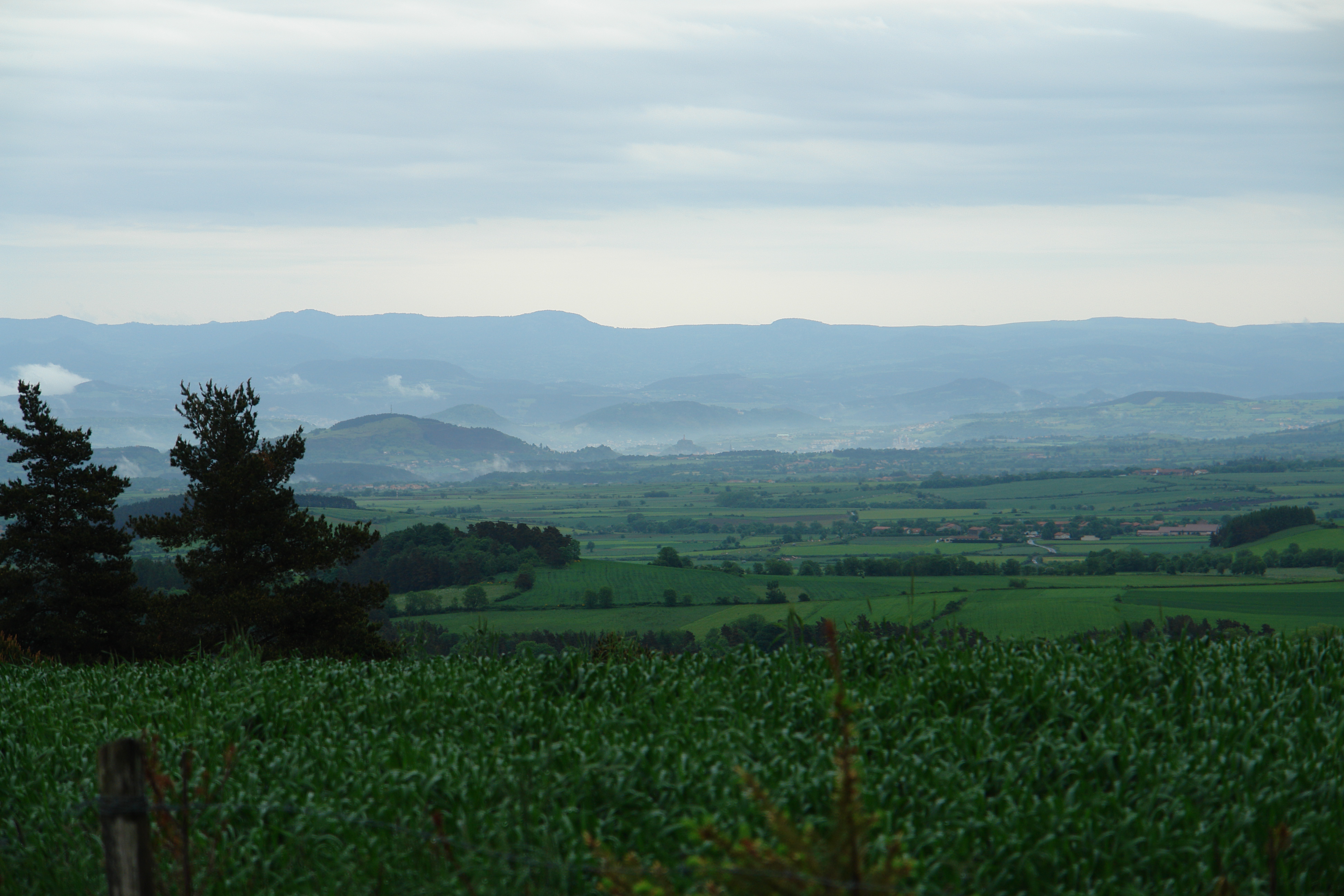
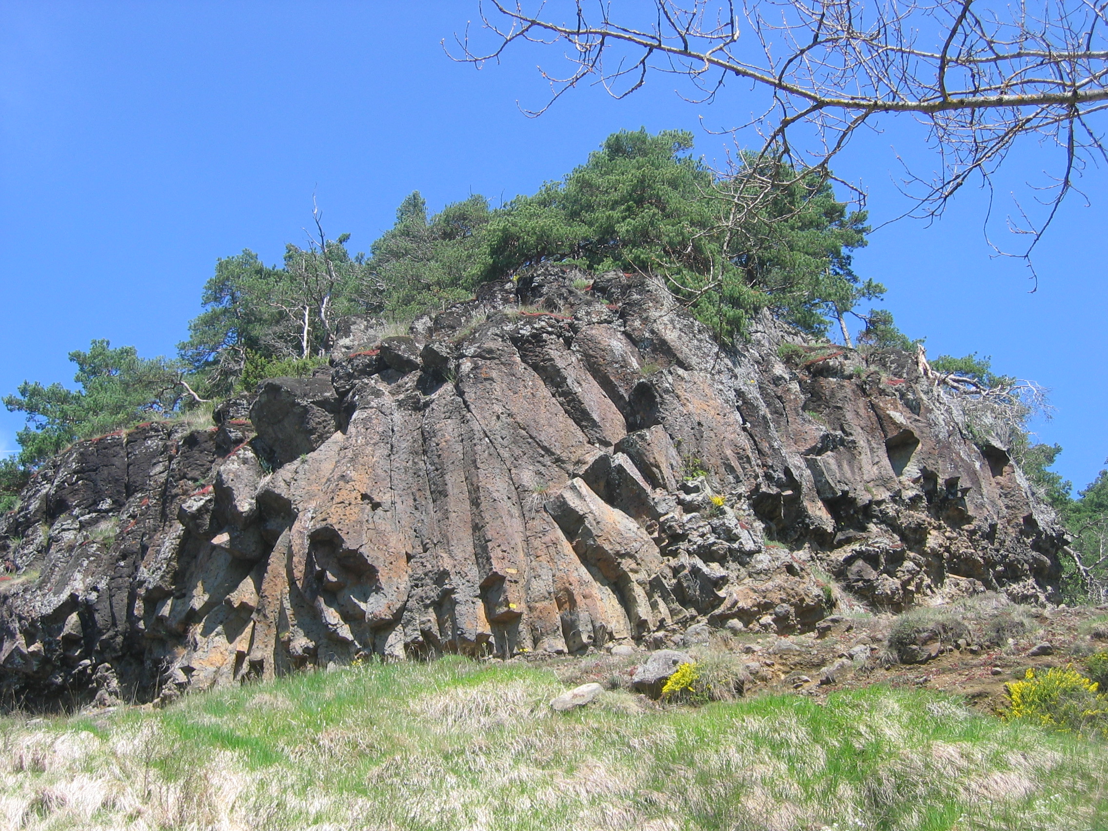
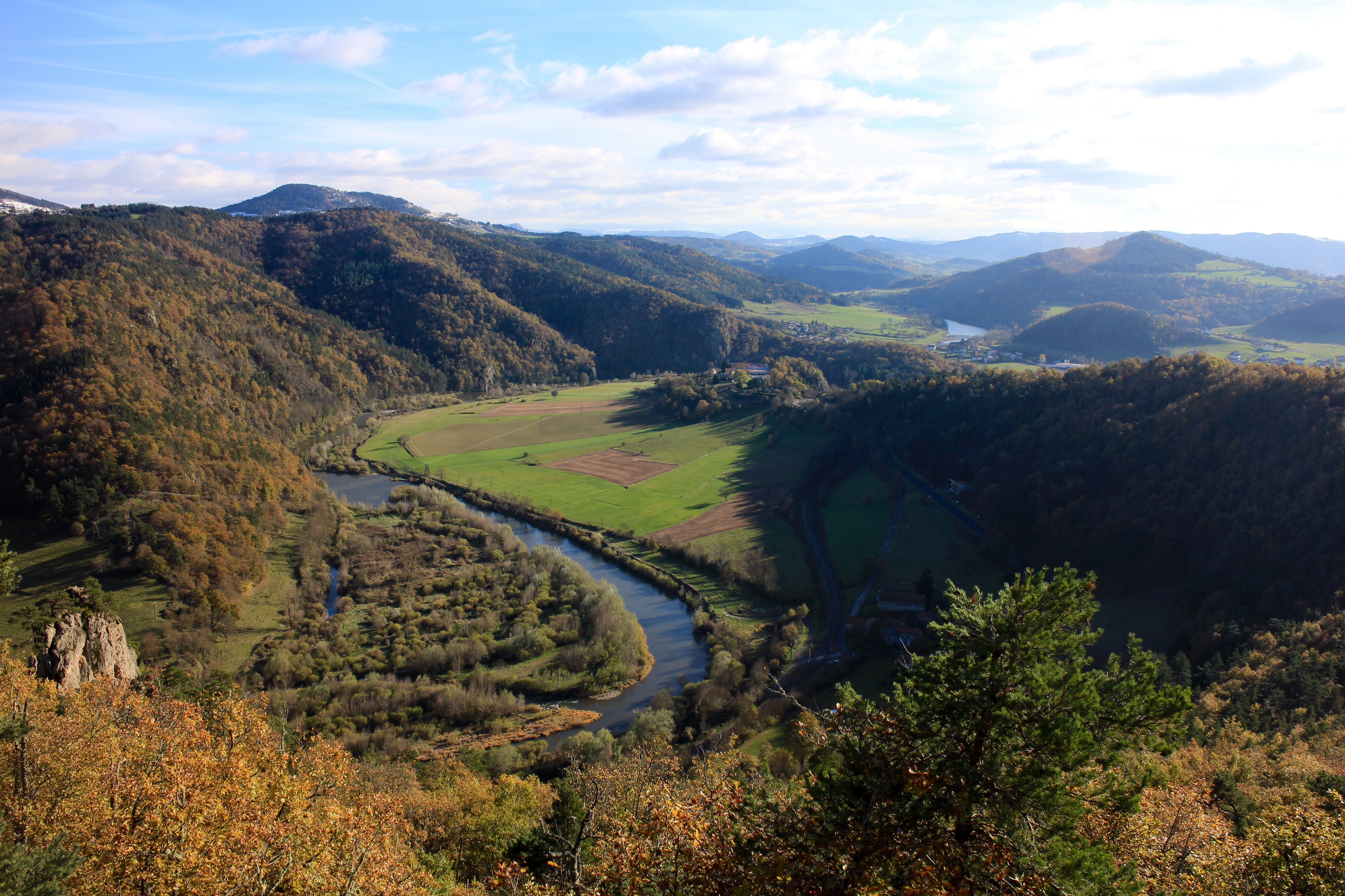
Limagne et alentours
Topographic Map of Allègre, France
Find elevation by address:

Places in Allègre, France:
Places near Allègre, France:
12 Place du Marchédial, Allègre, France
23t
Saint-paulien
2 Rue de la Mairie, Chaspuzac, France
Chaspuzac
Craponne-sur-arzon
Saint-pierre-du-champ
Rechimas
Lavoûte-sur-loire
5 Villeneuve, Saint-Pierre-du-Champ, France
Couteuges
1 Calade du Valla, Chanteuges, France
Chanteuges
14 Rue J Romain, Lavoûte-sur-Loire, France
Le Puy
Puy En Velay Station Parking
Haute-loire
Chamalières-sur-loire
Cosycamp
Condros, Saint-Étienne-Lardeyrol, France
Recent Searches:
- Elevation of 6 Rue Jules Ferry, Beausoleil, France
- Elevation of Sattva Horizon, 4JC6+G9P, Vinayak Nagar, Kattigenahalli, Bengaluru, Karnataka, India
- Elevation of Great Brook Sports, Gold Star Hwy, Groton, CT, USA
- Elevation of 10 Mountain Laurels Dr, Nashua, NH, USA
- Elevation of 16 Gilboa Ln, Nashua, NH, USA
- Elevation of Laurel Rd, Townsend, TN, USA
- Elevation of 3 Nestling Wood Dr, Long Valley, NJ, USA
- Elevation of Ilungu, Tanzania
- Elevation of Yellow Springs Road, Yellow Springs Rd, Chester Springs, PA, USA
- Elevation of Rēzekne Municipality, Latvia