Elevation of 23T Avenue de Ruessium, Saint-Paulien, France
Location: France > Haute-loire > Saint-paulien >
Longitude: 3.8131489
Latitude: 45.1359394
Elevation: 812m / 2664feet
Barometric Pressure: 92KPa
Elevation Map:
Satellite Map:
Related Photos:

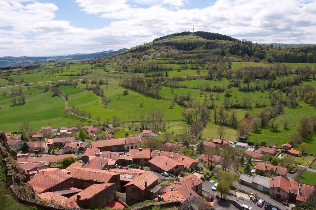
Le Puy [Haute-Loire]

Holy view
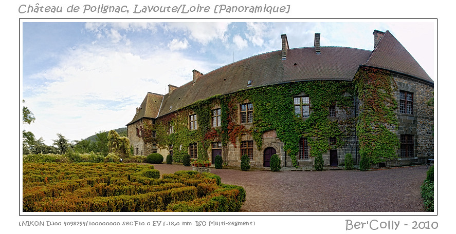
Lavoute-Polignac, Haute-Loire
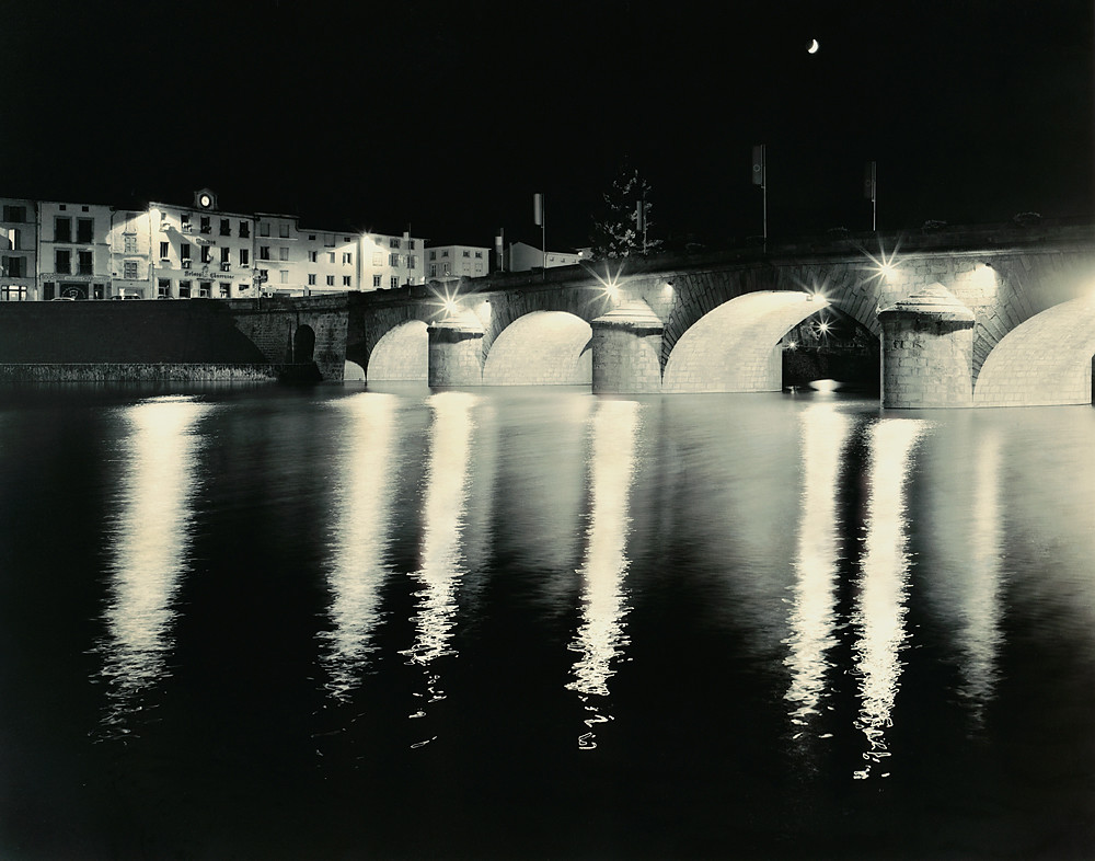
Brives-Charensac an der Loire
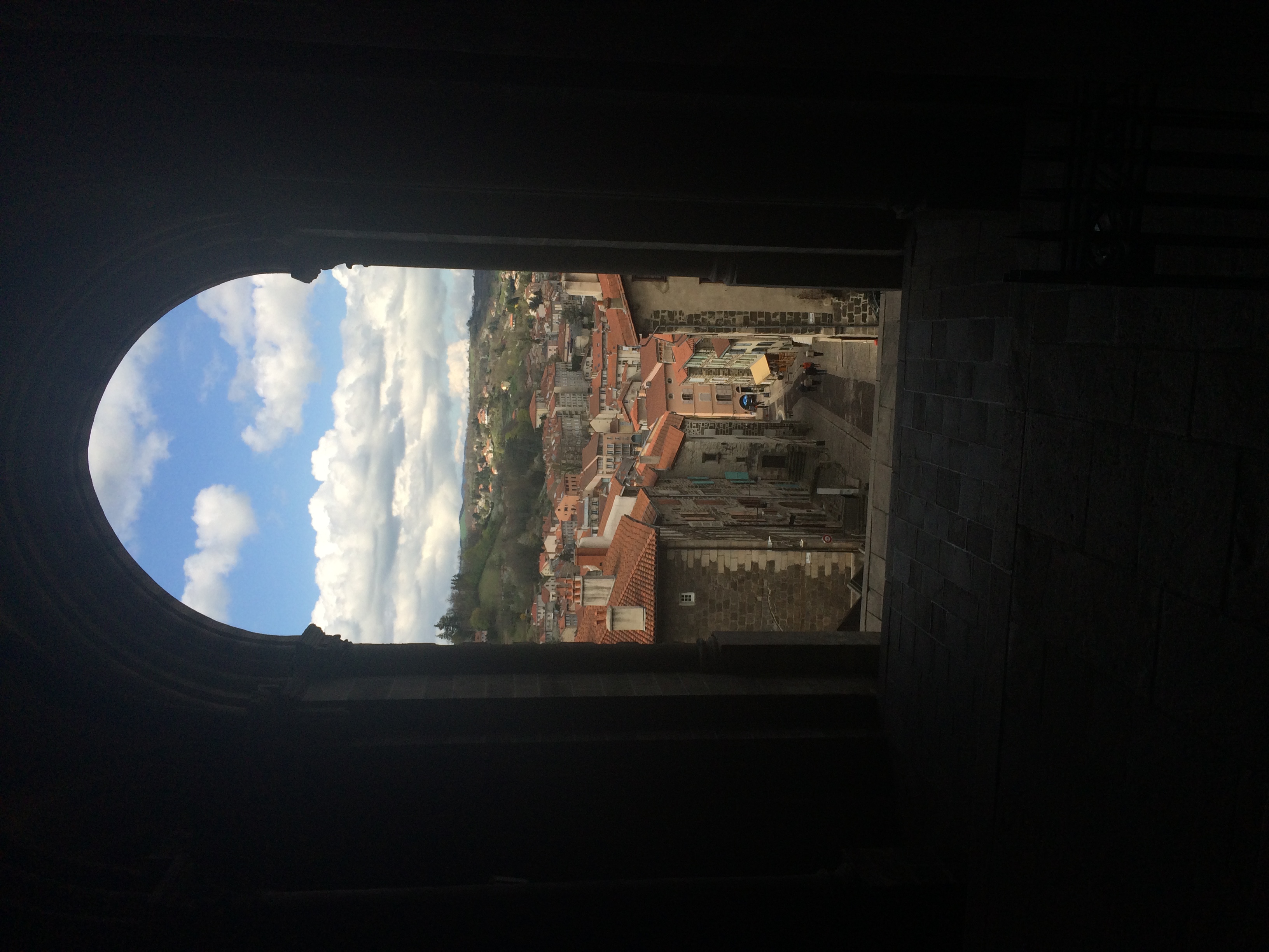
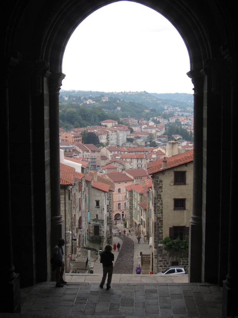
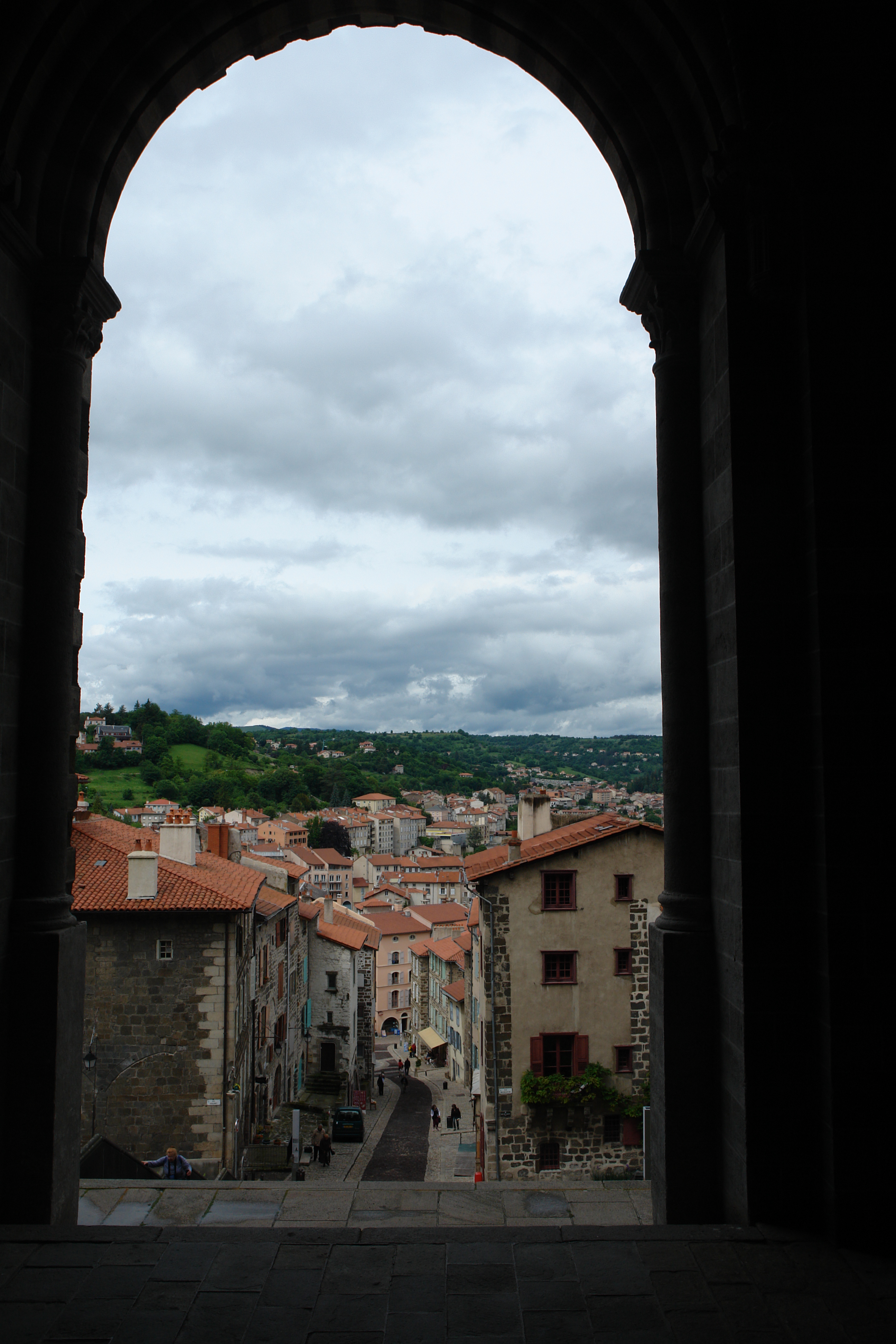
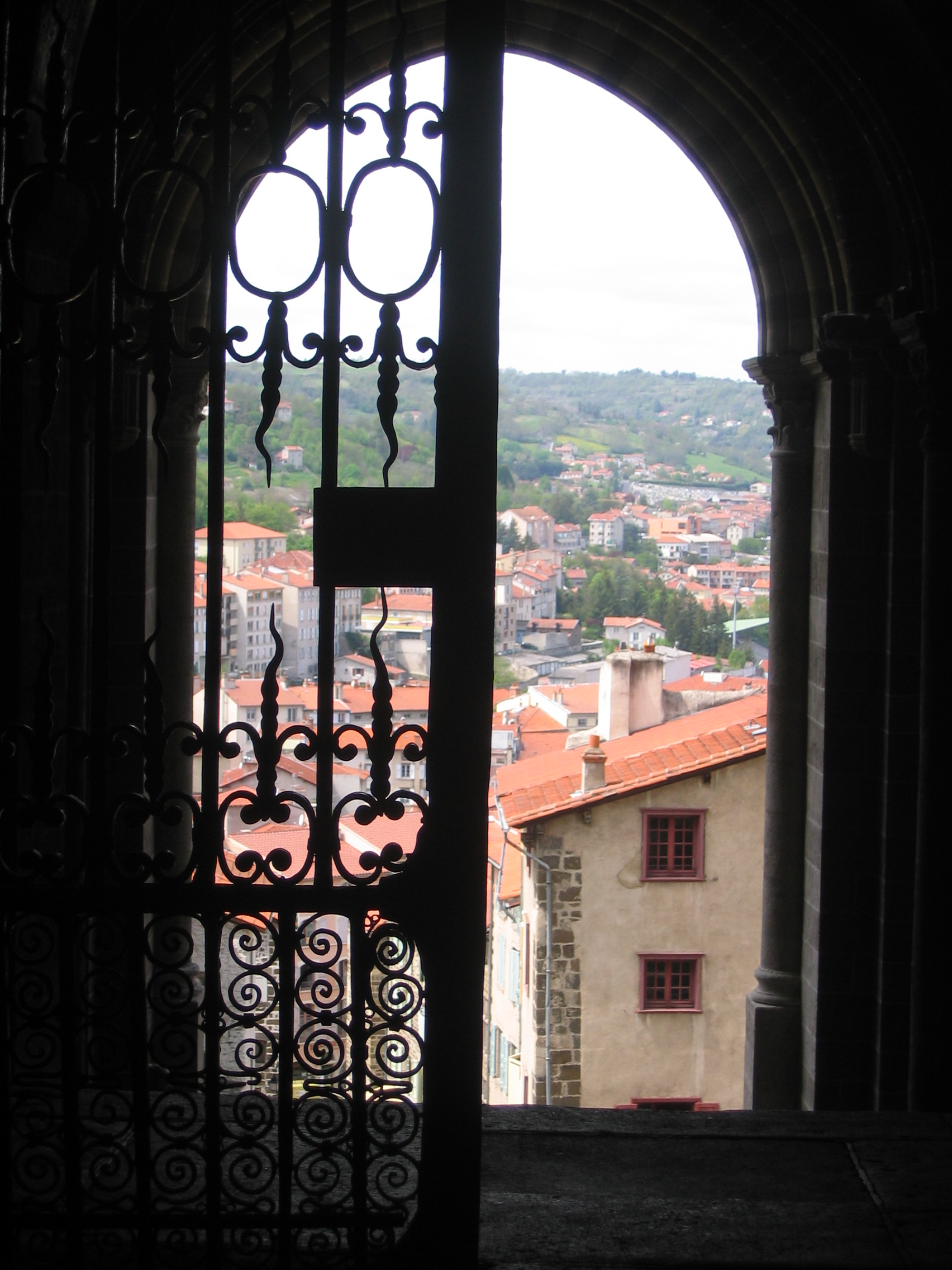
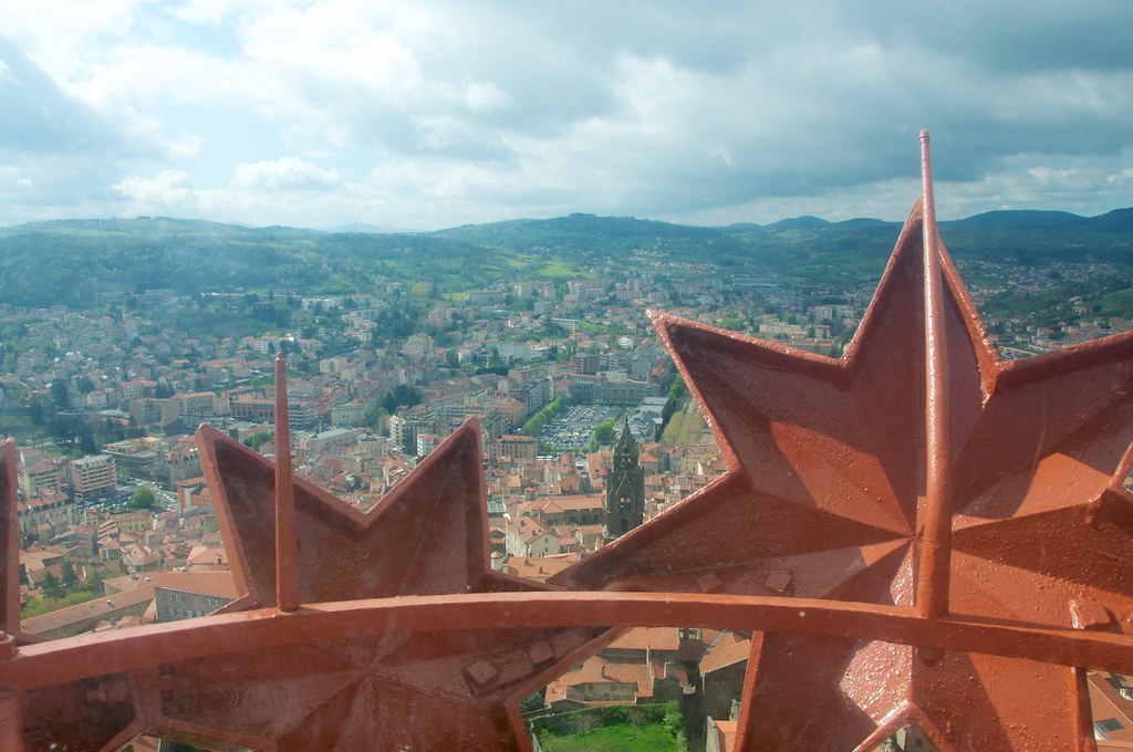
View from the Le Puy cathedral.
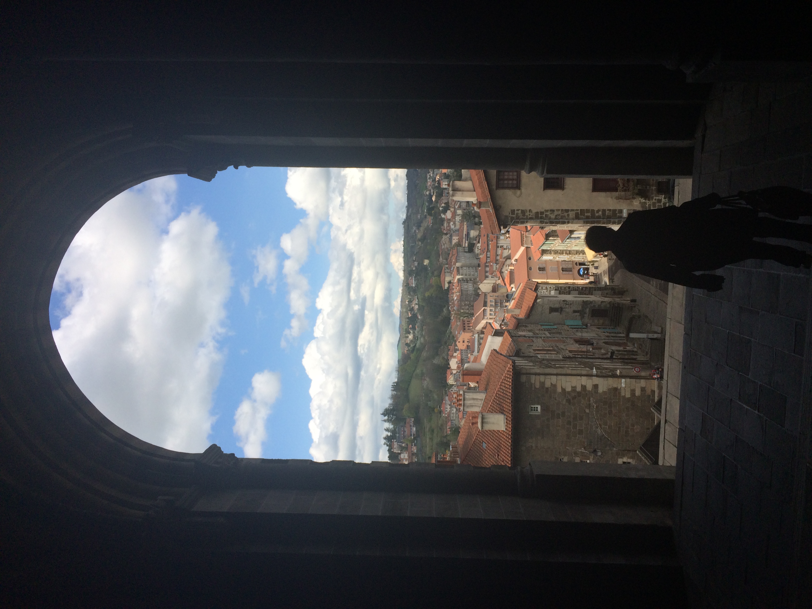
Me, Le Puy Cathedral, view.
Le Puy-en-Velay: Blick von der Kathedrale in die Stadt / View from the Cathedral in the city

Le Puy en Velay - 09
LE PUY-EN-VELAY VIEW

Chapelle on the rocks in Puy de Dôme, France
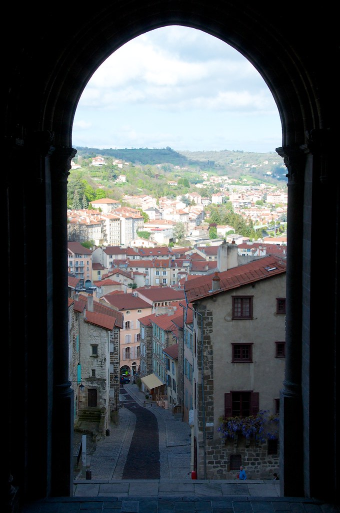
view out from Cathédral Notre-Dame du Puy
view from Château de Polignac
Un punto de vista inútil de una barandilla - A useless point of view of a handrail
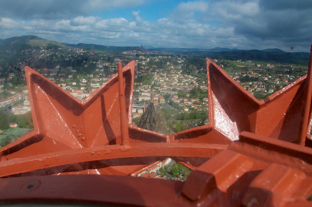
view from the plastic bubble at the top of Notre Dame de France
DSC08286.JPG
IMG_8262.JPG
view from Château de Polignac
view from the plastic bubble at the top of Notre Dame de France
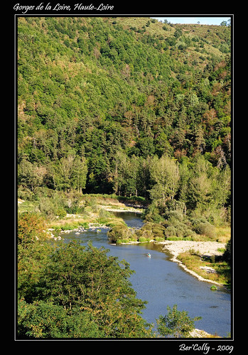
Les gorges de la Loire, Haute-Loire
IMG_8276.JPG

Le Puy en Velay

Margeaix [Haute-Loire]

Ghosts-3

Ghosts-1
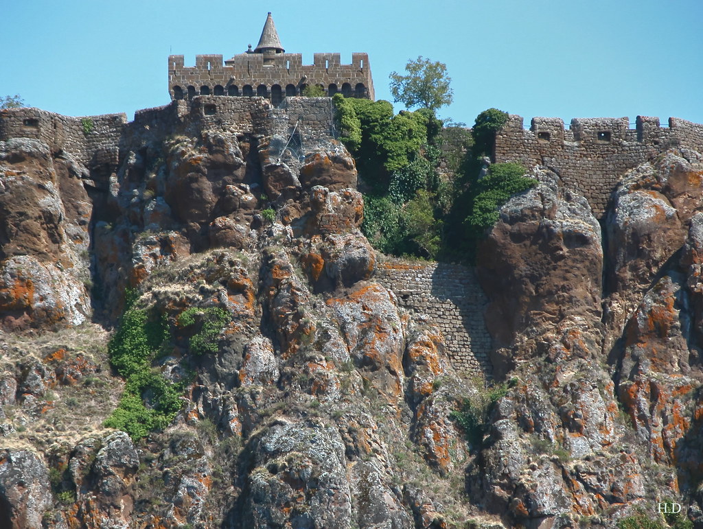
Forteresse de Polignac

Ghosts-4
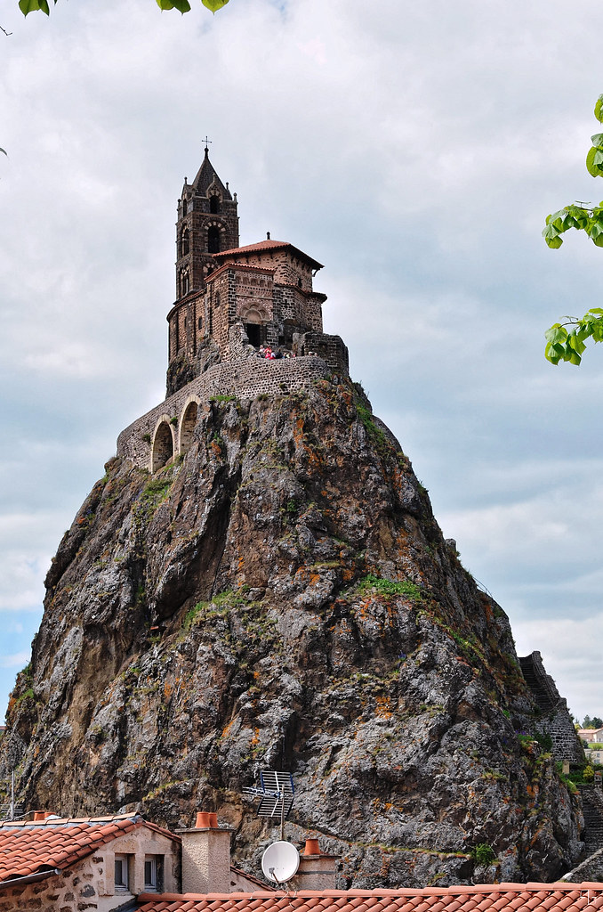
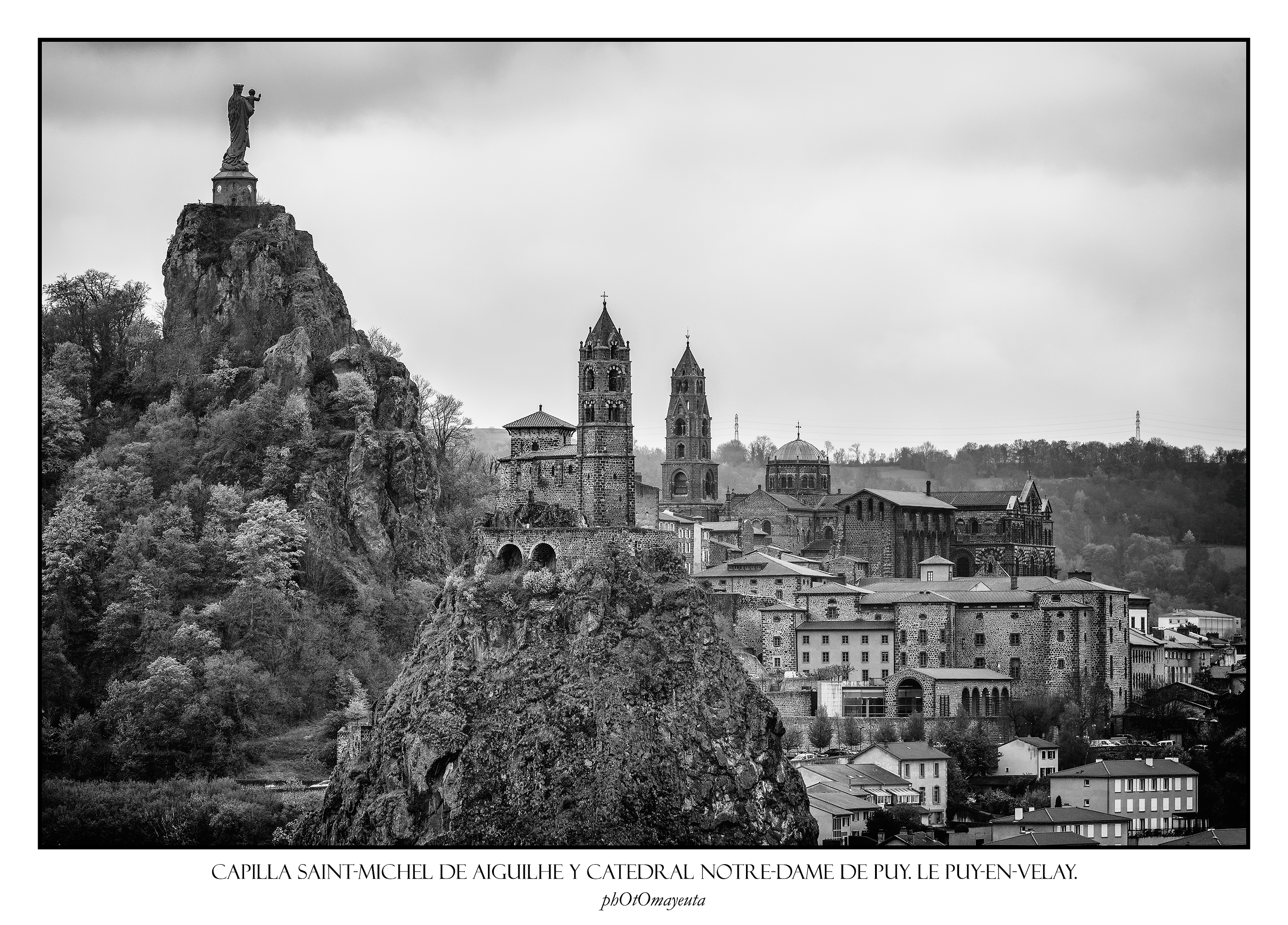
église Saint-Michel d'Aiguilhe

Le Puy-en-Velay
/
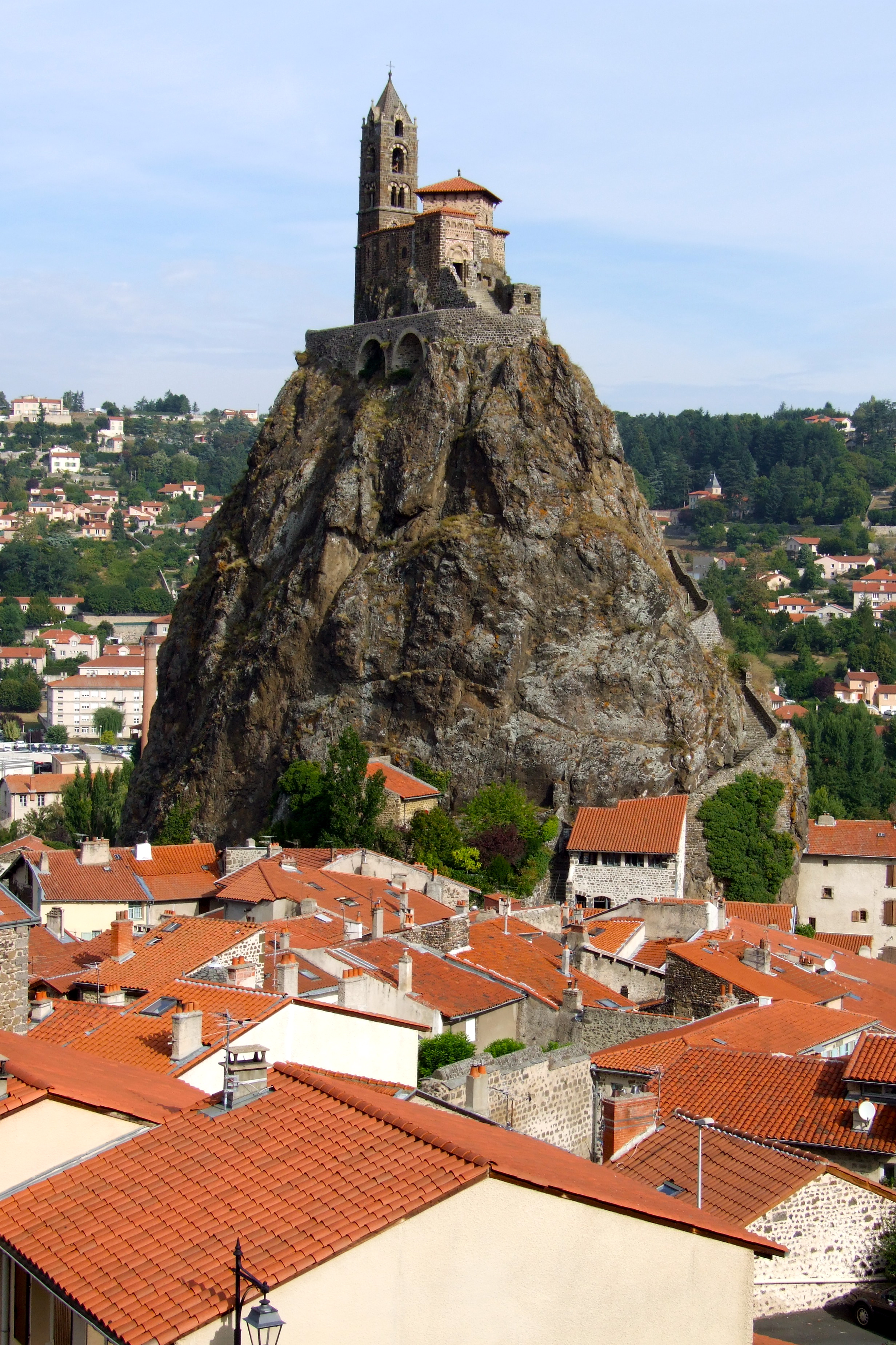
Church on hilltop, Le Puy en Vélay (France)
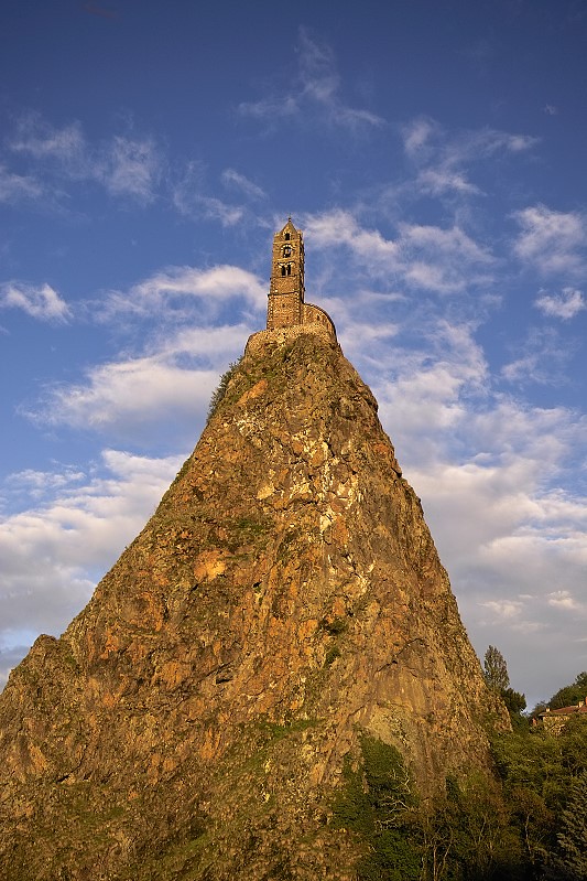
Saint-Michel d'Aiguilhe
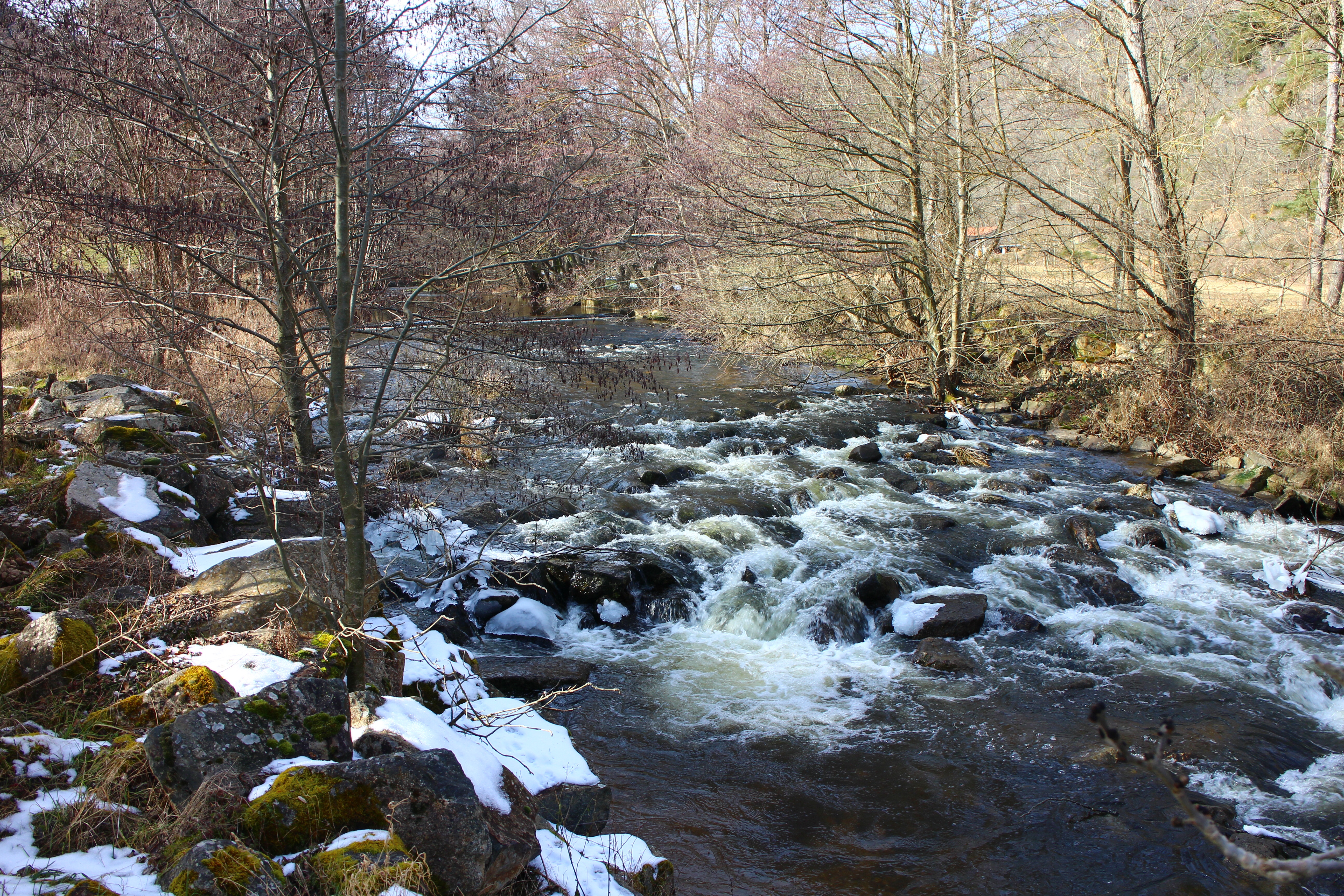
Rivière L'arzon
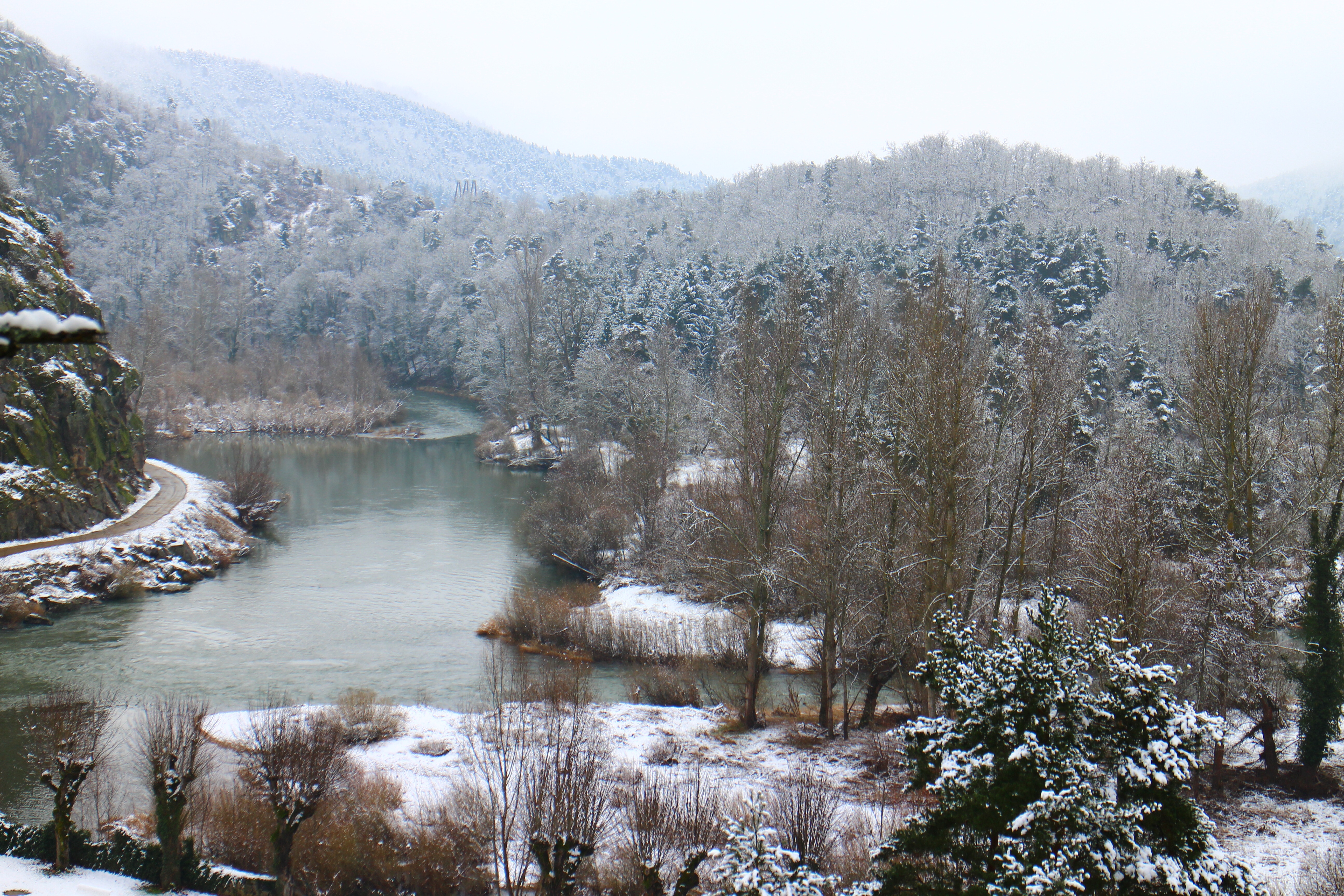
L'hiver
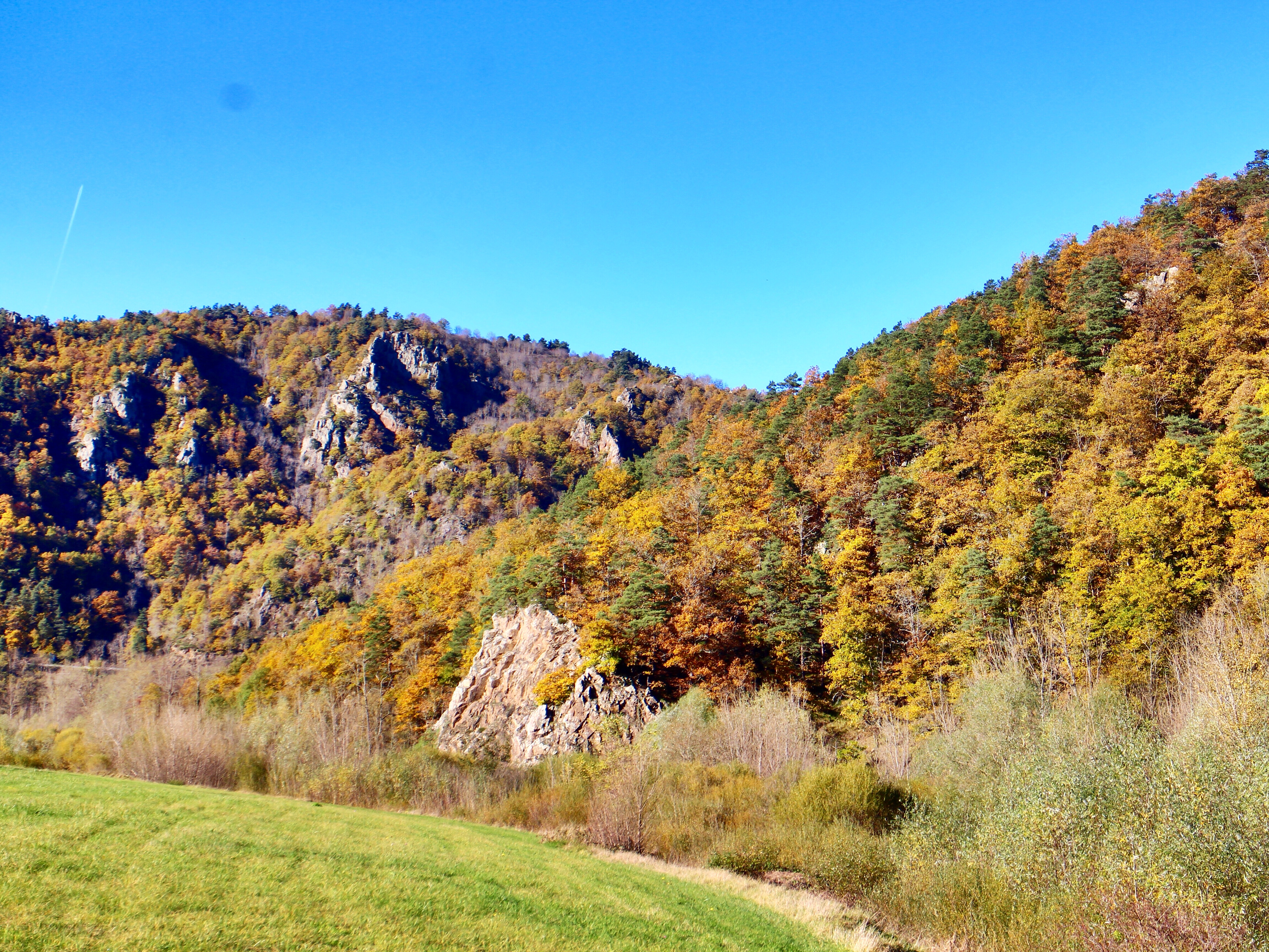
L'automne

Ciel en feu

Sous bois
Topographic Map of 23T Avenue de Ruessium, Saint-Paulien, France
Find elevation by address:

Places near 23T Avenue de Ruessium, Saint-Paulien, France:
Saint-paulien
2 Rue de la Mairie, Chaspuzac, France
Chaspuzac
Lavoûte-sur-loire
14 Rue J Romain, Lavoûte-sur-Loire, France
Le Puy
Allègre
12 Place du Marchédial, Allègre, France
Puy En Velay Station Parking
Haute-loire
Saint-pierre-du-champ
5 Villeneuve, Saint-Pierre-du-Champ, France
Condros, Saint-Étienne-Lardeyrol, France
Chamalières-sur-loire
Craponne-sur-arzon
Cosycamp
Saint-Étienne-lardeyrol
Rechimas
4 Place Pierre Cruviller, Retournac, France
Retournac
Recent Searches:
- Elevation of Fern Rd, Whitmore, CA, USA
- Elevation of 62 Abbey St, Marshfield, MA, USA
- Elevation of Fernwood, Bradenton, FL, USA
- Elevation of Felindre, Swansea SA5 7LU, UK
- Elevation of Leyte Industrial Development Estate, Isabel, Leyte, Philippines
- Elevation of W Granada St, Tampa, FL, USA
- Elevation of Pykes Down, Ivybridge PL21 0BY, UK
- Elevation of Jalan Senandin, Lutong, Miri, Sarawak, Malaysia
- Elevation of Bilohirs'k
- Elevation of 30 Oak Lawn Dr, Barkhamsted, CT, USA