Elevation of Alamogordo, NM, USA
Location: United States > New Mexico > Otero County >
Longitude: -105.59433
Latitude: 32.6341716
Elevation: 2287m / 7503feet
Barometric Pressure: 77KPa
Elevation Map:
Satellite Map:
Related Photos:
CAB020096a
CAB019887a
CAB019974a
CAB019929a
CAB020028a
CAB020072a
CAC028951a
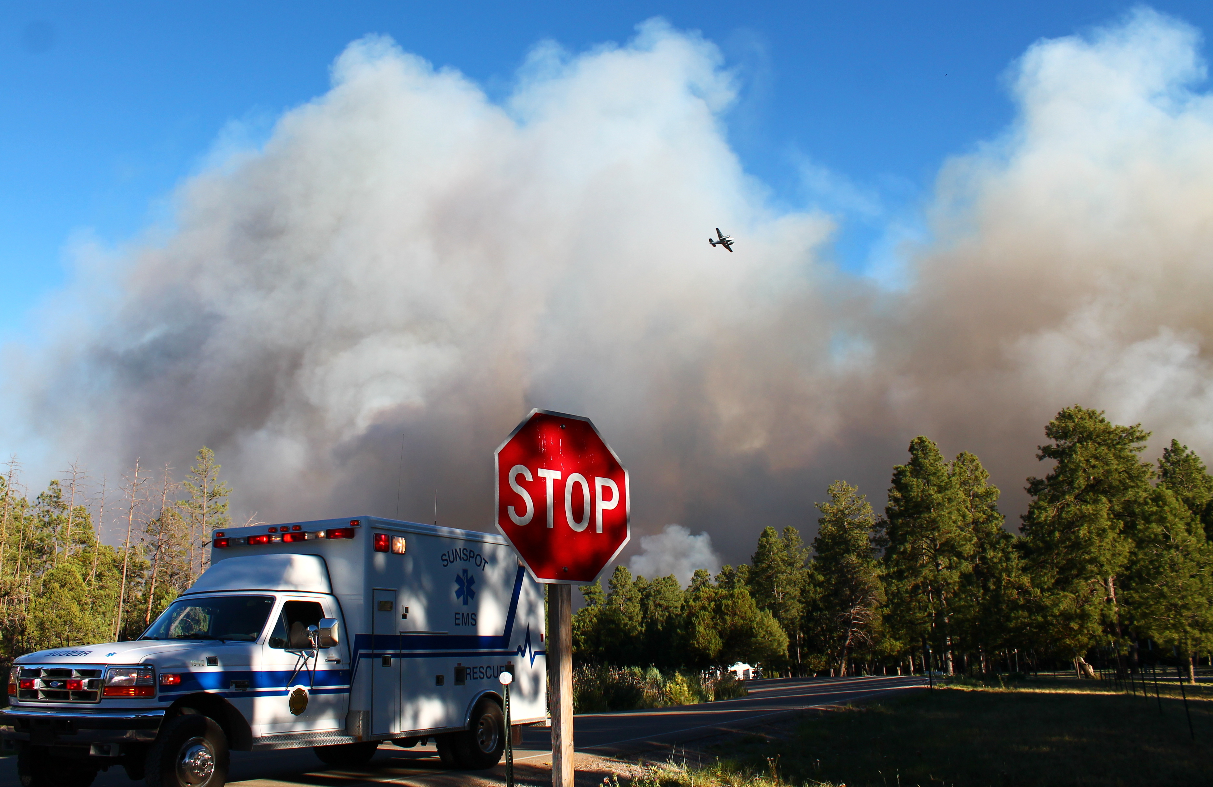
Timberon Fire
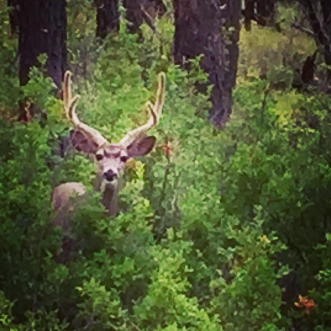
Hiding out in the woods till my Bride of Frankenstein/Muhammed Ali/Vampire look fades; this guy wasn't scared at all.
´â÷컲y!³õfQ¿ÓÆ¿ñÇÈlÓT³Y$´ÄÐÉÎ5p¯@T©ÿïÓy%GÜkú\v׫rIkY)ê$mTni_äûCüYY"äéõ¢ÔKésXËé·«í_A¶vOò©¿úÙ>b7$ÆHqÛi¡¯xÞ)µhÄÀVHÄuâGqµ8à;Ūp½,lÓVPÛÜú7ÀÇÉ:¥[.pÔQ#Ãjº×µ»6K}FbYUhÏ4<¨¦Çóe`i®R°Ù{9³K¨YÜÔñ*É×ÀúiÚ1K&:LRyW6Ën´÷Q¾Ø]µacºK¸VõcD[ÜF2ymËâ
Topographic Map of Alamogordo, NM, USA
Find elevation by address:

Places near Alamogordo, NM, USA:
Otero County
187 Wollin Dr
197 Wollin Dr
8 Hungry Horse Loop
Timberon
11 Sauk Dr
52 Santa Fe Dr
389 Dixwood Dr
389 Dixwood Dr
389 Dixwood Dr
389 Dixwood Dr
Agua Chiquita Rd, Sacramento, NM, USA
98 Buckwood Dr
731 Agua Chiquita Rd
Sacramento
Weed
Wills Canyon
1910 Rio Penasco Rd
Bluff Springs
56 Black Forest Dr
Recent Searches:
- Elevation of 24 Oakland Rd #, Scotland, ON N0E 1R0, Canada
- Elevation of Deep Gap Farm Rd E, Mill Spring, NC, USA
- Elevation of Dog Leg Dr, Minden, NV, USA
- Elevation of Dog Leg Dr, Minden, NV, USA
- Elevation of Kambingan Sa Pansol Atbp., Purok 7 Pansol, Candaba, Pampanga, Philippines
- Elevation of Pinewood Dr, New Bern, NC, USA
- Elevation of Mountain View, CA, USA
- Elevation of Foligno, Province of Perugia, Italy
- Elevation of Blauwestad, Netherlands
- Elevation of Bella Terra Blvd, Estero, FL, USA