Elevation of Alak, Republic of Dagestan, Russia
Location: Russia > Dagestan Republic > Botlikhsky District >
Longitude: 46.1966249
Latitude: 42.6100026
Elevation: 1786m / 5860feet
Barometric Pressure: 82KPa
Elevation Map:
Satellite Map:
Related Photos:

Bazarduzu Dagi, Aserbajan

Bazarduzu Dagi, Aserbajan
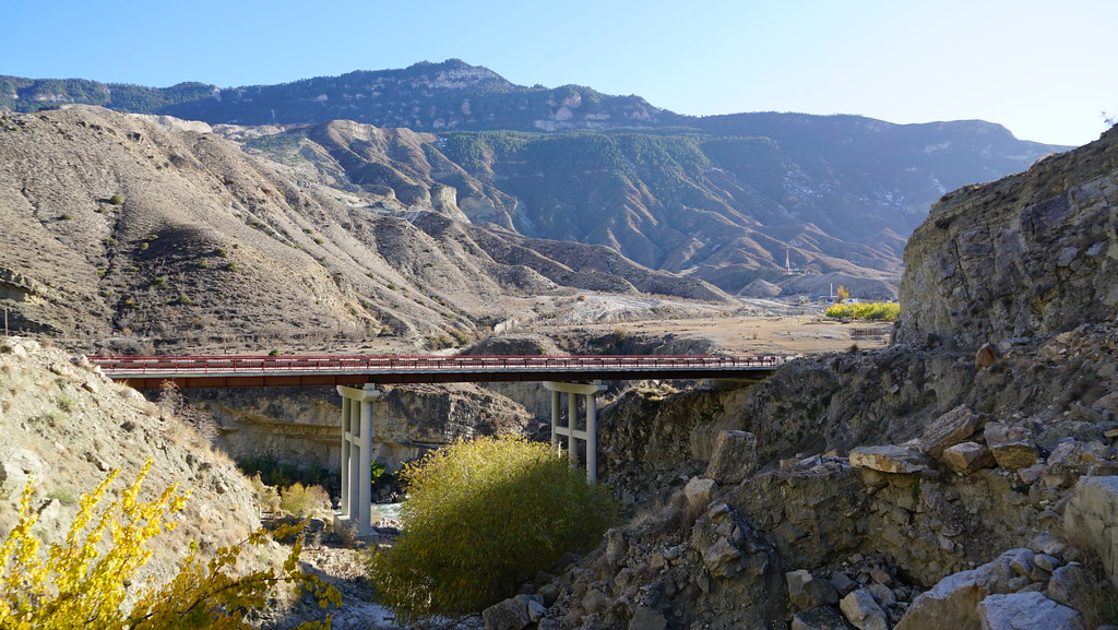
Muni Bridge

Muni Bridge
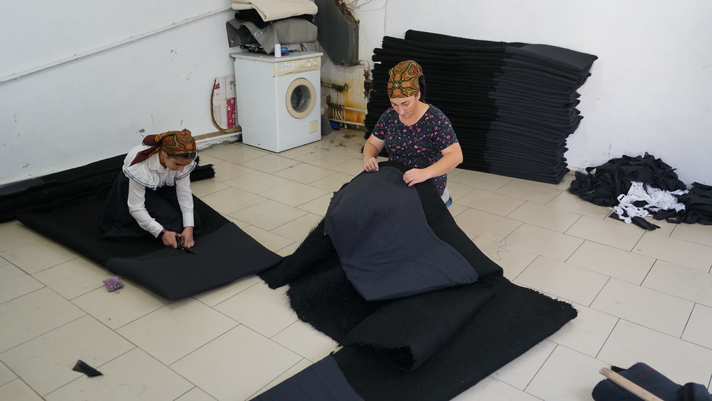
Making cloaks

Making cloaks

Cooking seeds

Cooking seeds

Cooking seeds

Cooking seeds
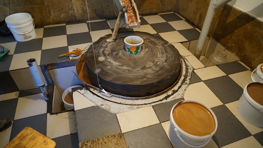
Making urbech

Tsentral'naya Mechet' S. Rakhata

Me with Ansalta

Me with Ansalta
Topographic Map of Alak, Republic of Dagestan, Russia
Find elevation by address:

Places near Alak, Republic of Dagestan, Russia:
Kheleturi
Kvanada
Gimerso
Botlikh
Nizhnyaya Godoberi
Verkh. Godoberi
Tlondoda
Khushtada
Agvali
Ansalta
Tissi
Sanukh
Asha
Tindi
Upper Gakvari
Zilo
Angida
Andi
Tsumada
Tsumadinsky District
Recent Searches:
- Elevation of Woodland Oak Pl, Thousand Oaks, CA, USA
- Elevation of Brownsdale Rd, Renfrew, PA, USA
- Elevation of Corcoran Ln, Suffolk, VA, USA
- Elevation of Mamala II, Sariaya, Quezon, Philippines
- Elevation of Sarangdanda, Nepal
- Elevation of 7 Waterfall Way, Tomball, TX, USA
- Elevation of SW 57th Ave, Portland, OR, USA
- Elevation of Crocker Dr, Vacaville, CA, USA
- Elevation of Pu Ngaol Community Meeting Hall, HWHM+3X7, Krong Saen Monourom, Cambodia
- Elevation of Royal Ontario Museum, Queens Park, Toronto, ON M5S 2C6, Canada