Elevation of AL-, Troy, AL, USA
Location: United States > Alabama > Pike County > Troy >
Longitude: -85.804969
Latitude: 31.9083425
Elevation: 197m / 646feet
Barometric Pressure: 99KPa
Elevation Map:
Satellite Map:
Related Photos:
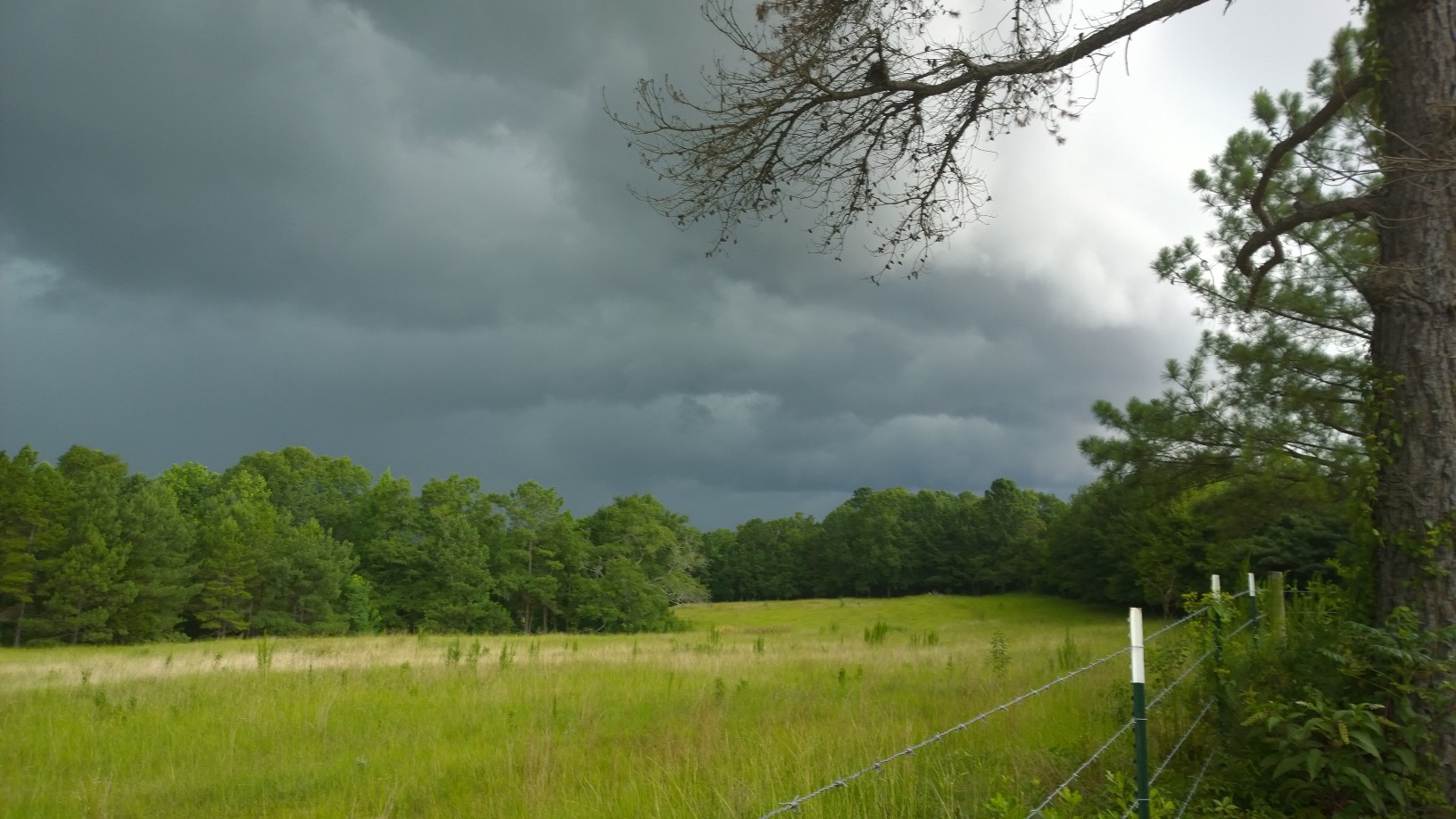
Stormy Skies
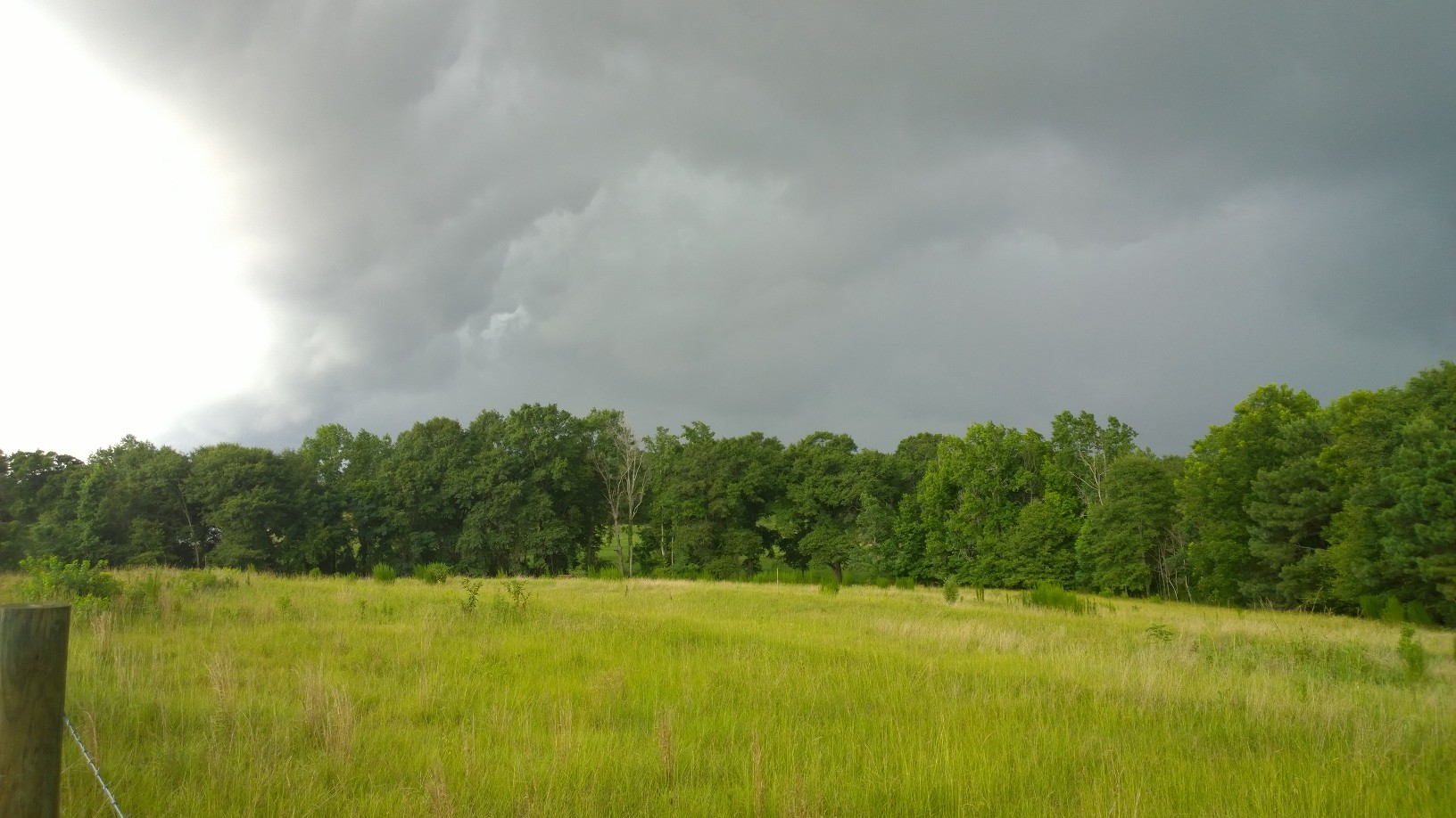
Stormy Skies
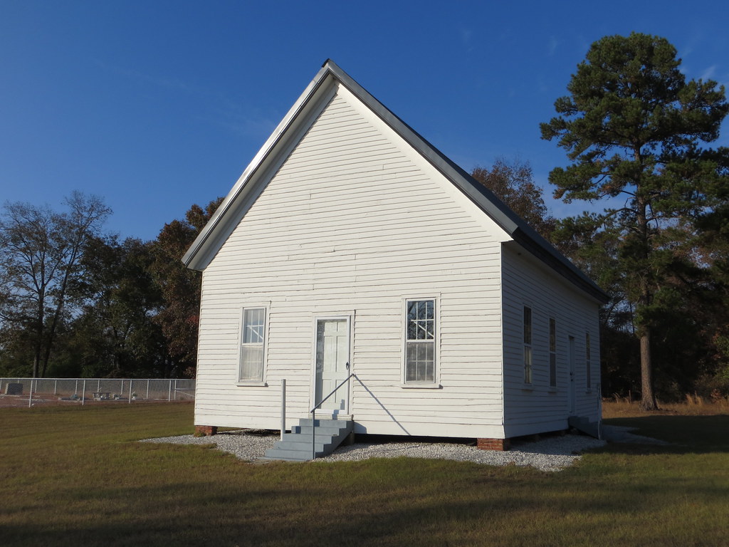
Wesley Chapel UMC Dunn AL
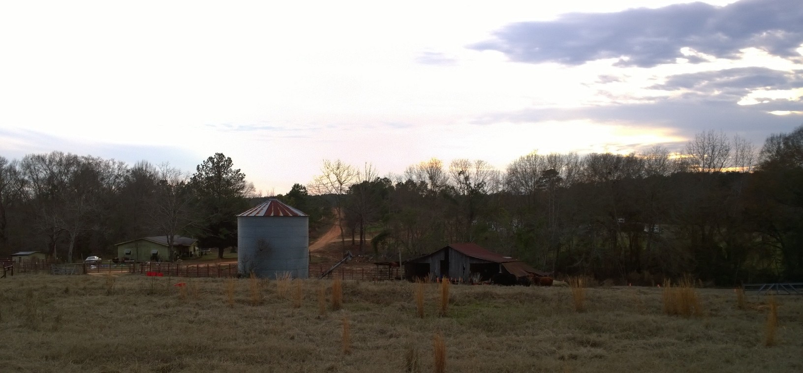
Country Living
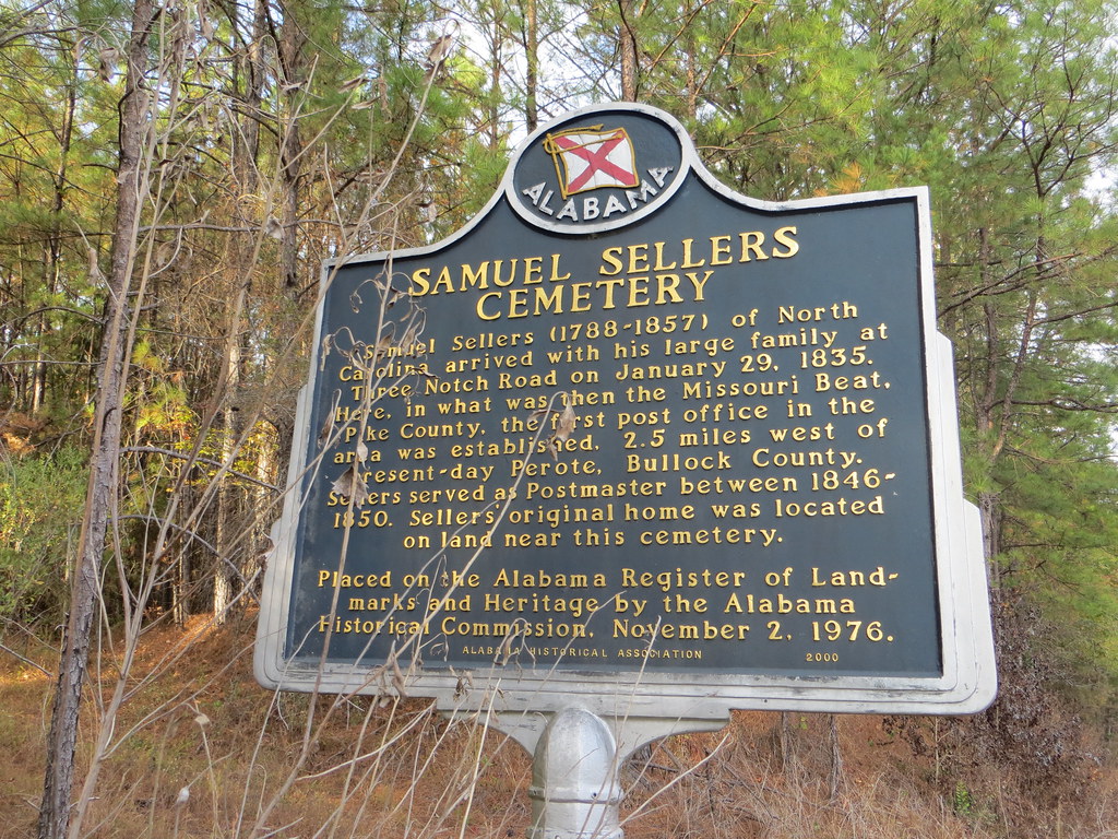
Samuel Sellers Cemetery Marker Bullock Co AL

Monticello, Alabama

Monticello, Alabama

Keene/Tatyana

Old Church
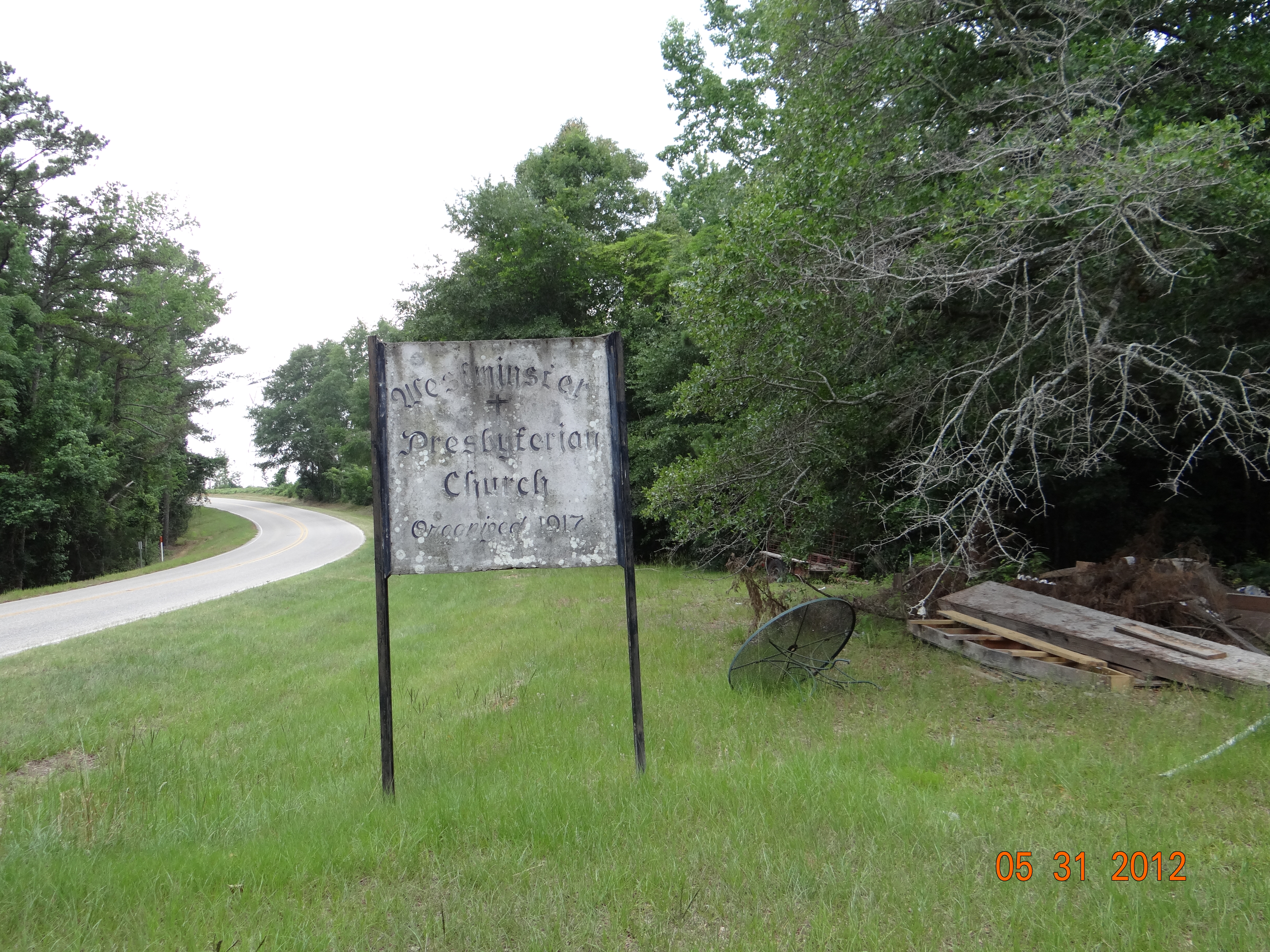
West Minster Church Sign
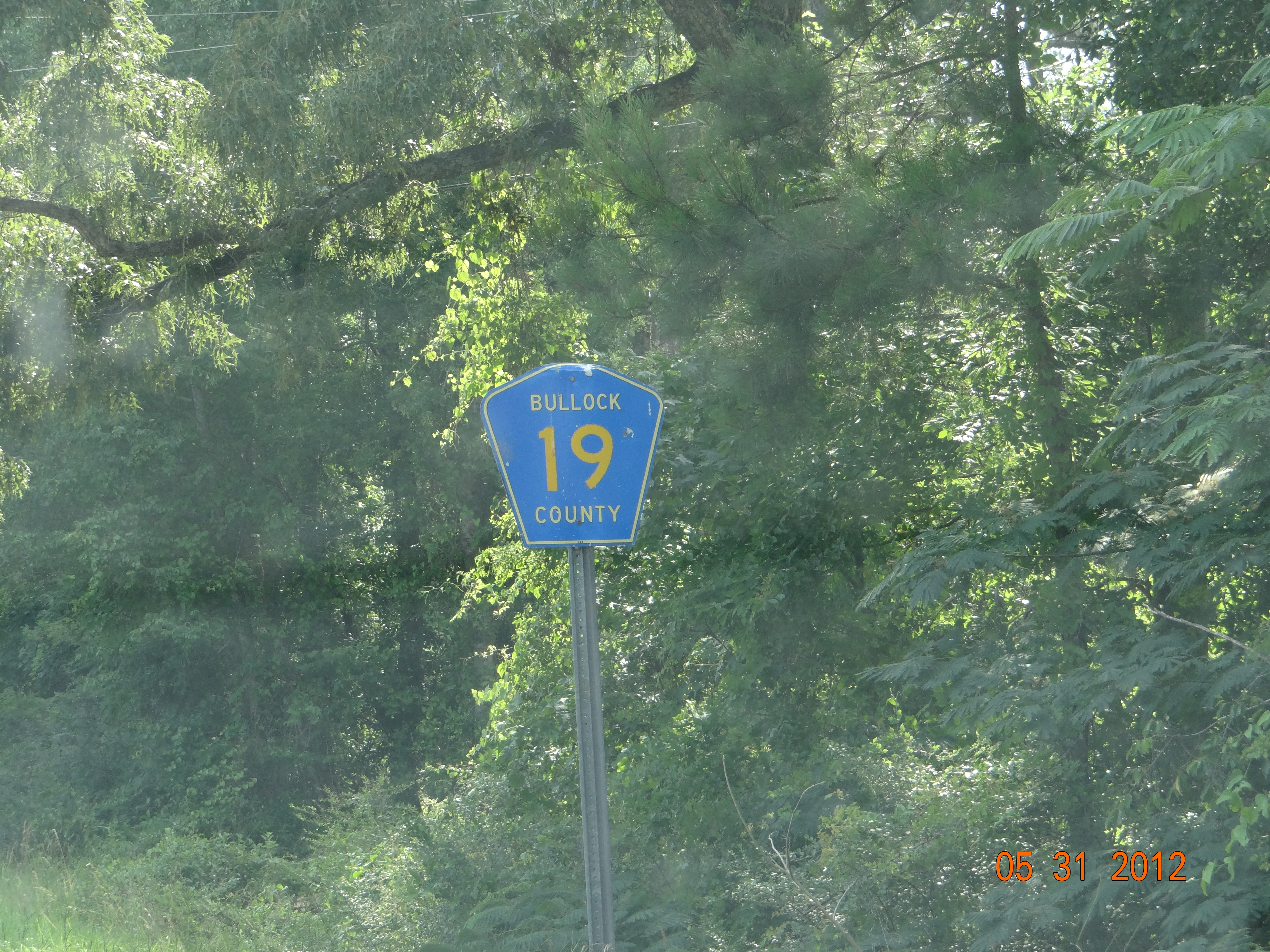
Bullock Co Rd 19
Topographic Map of AL-, Troy, AL, USA
Find elevation by address:

Places near AL-, Troy, AL, USA:
Banks
US-29, Banks, AL, USA
US-29, Troy, AL, USA
AL-93, Troy, AL, USA
Needmore Road
1783 Pocosin Rd
1783 Pocosin Rd
1783 Pocosin Rd
1783 Pocosin Rd
1783 Pocosin Rd
1783 Pocosin Rd
1783 Pocosin Rd
1783 Pocosin Rd
1783 Pocosin Rd
Pocosin Road
1183 Pocosin Rd
Briarwood Dr, Troy, AL, USA
Troy University
Brundidge
9 S A Graham Blvd, Brundidge, AL, USA
Recent Searches:
- Elevation of Erika Dr, Windsor, CA, USA
- Elevation of Village Ln, Finleyville, PA, USA
- Elevation of 24 Oakland Rd #, Scotland, ON N0E 1R0, Canada
- Elevation of Deep Gap Farm Rd E, Mill Spring, NC, USA
- Elevation of Dog Leg Dr, Minden, NV, USA
- Elevation of Dog Leg Dr, Minden, NV, USA
- Elevation of Kambingan Sa Pansol Atbp., Purok 7 Pansol, Candaba, Pampanga, Philippines
- Elevation of Pinewood Dr, New Bern, NC, USA
- Elevation of Mountain View, CA, USA
- Elevation of Foligno, Province of Perugia, Italy