Elevation of AL-33, Moulton, AL, USA
Location: United States > Alabama > Lawrence County > Moulton >
Longitude: -87.266302
Latitude: 34.5796025
Elevation: 229m / 751feet
Barometric Pressure: 99KPa
Elevation Map:
Satellite Map:
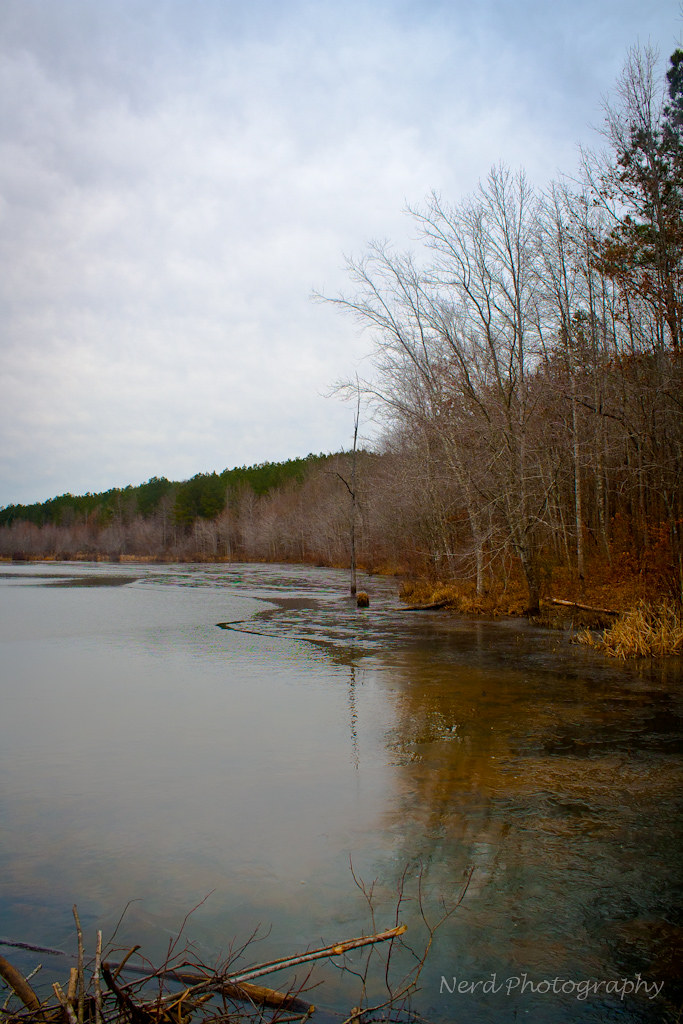
Related Photos:

IMG_0180-1

IMG_0148-1

Alabama Sunset

solitary sandpiper

Canola Field

IMG_0080-1

Alabama Sunset

IMG_0144-1
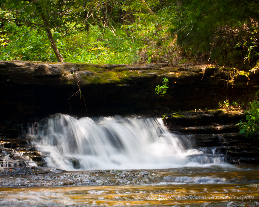
IMG_0037-1
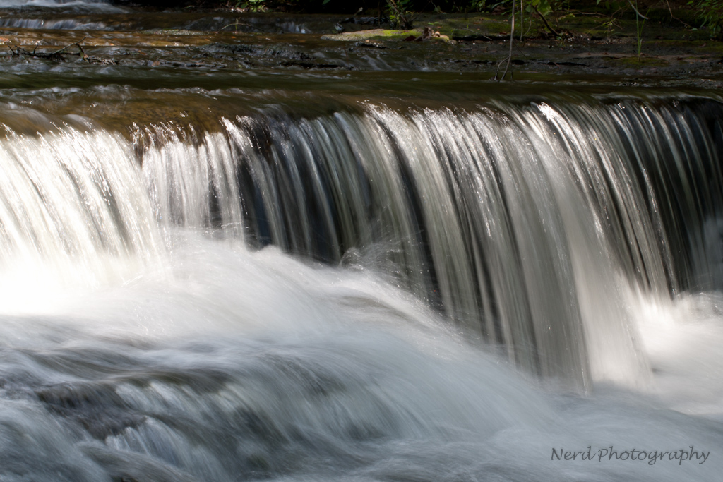
IMG_0035-1

IMG_0072-1-2

IMG_0083-1

IMG_0015-1

IMG_0085-1

IMG_0033-1
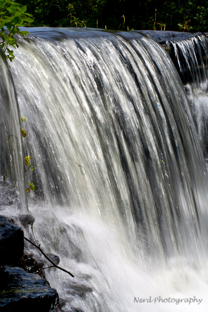
IMG_0048-1

IMG_0128-1
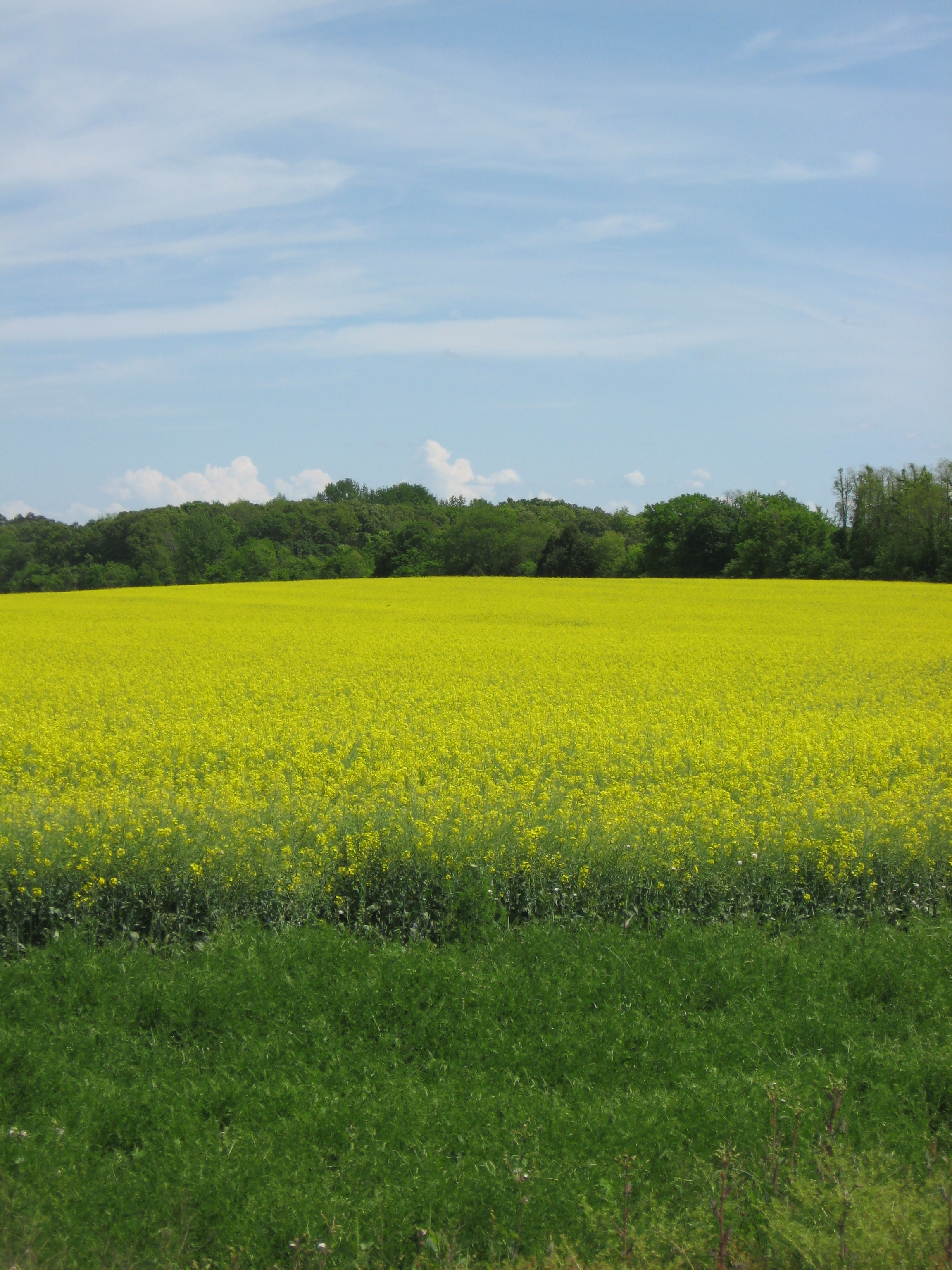
Canola plant 1

IMG_0125-1
IMG_0375-1

NS Local A88
Topographic Map of AL-33, Moulton, AL, USA
Find elevation by address:

Places near AL-33, Moulton, AL, USA:
3786 Co Rd 305
AL-33, Moulton, AL, USA
Lawrence County
AL-20, Courtland, AL, USA
County Rd, Trinity, AL, USA
US-72 ALT, Hillsboro, AL, USA
Co Rd, Courtland, AL, USA
Hillsboro
Courtland
Court St, Moulton, AL, USA
Moulton
Sanderson Ln, Courtland, AL, USA
Jefferson St, Courtland, AL, USA
Hatton High School
Co Rd 92, Moulton, AL, USA
Town Creek
606 Co Rd 91
50 Co Rd 91, Rogersville, AL, USA
264 Naomi Dr
Co Rd 91, Rogersville, AL, USA
Recent Searches:
- Elevation of Elwyn Dr, Roanoke Rapids, NC, USA
- Elevation of Congressional Dr, Stevensville, MD, USA
- Elevation of Bellview Rd, McLean, VA, USA
- Elevation of Stage Island Rd, Chatham, MA, USA
- Elevation of Shibuya Scramble Crossing, 21 Udagawacho, Shibuya City, Tokyo -, Japan
- Elevation of Jadagoniai, Kaunas District Municipality, Lithuania
- Elevation of Pagonija rock, Kranto 7-oji g. 8"N, Kaunas, Lithuania
- Elevation of Co Rd 87, Jamestown, CO, USA
- Elevation of Tenjo, Cundinamarca, Colombia
- Elevation of Côte-des-Neiges, Montreal, QC H4A 3J6, Canada