Elevation of AL-20, Courtland, AL, USA
Location: United States > Alabama > Lawrence County > Courtland >
Longitude: -87.24964
Latitude: 34.6515675
Elevation: 184m / 604feet
Barometric Pressure: 99KPa
Elevation Map:
Satellite Map:
Related Photos:
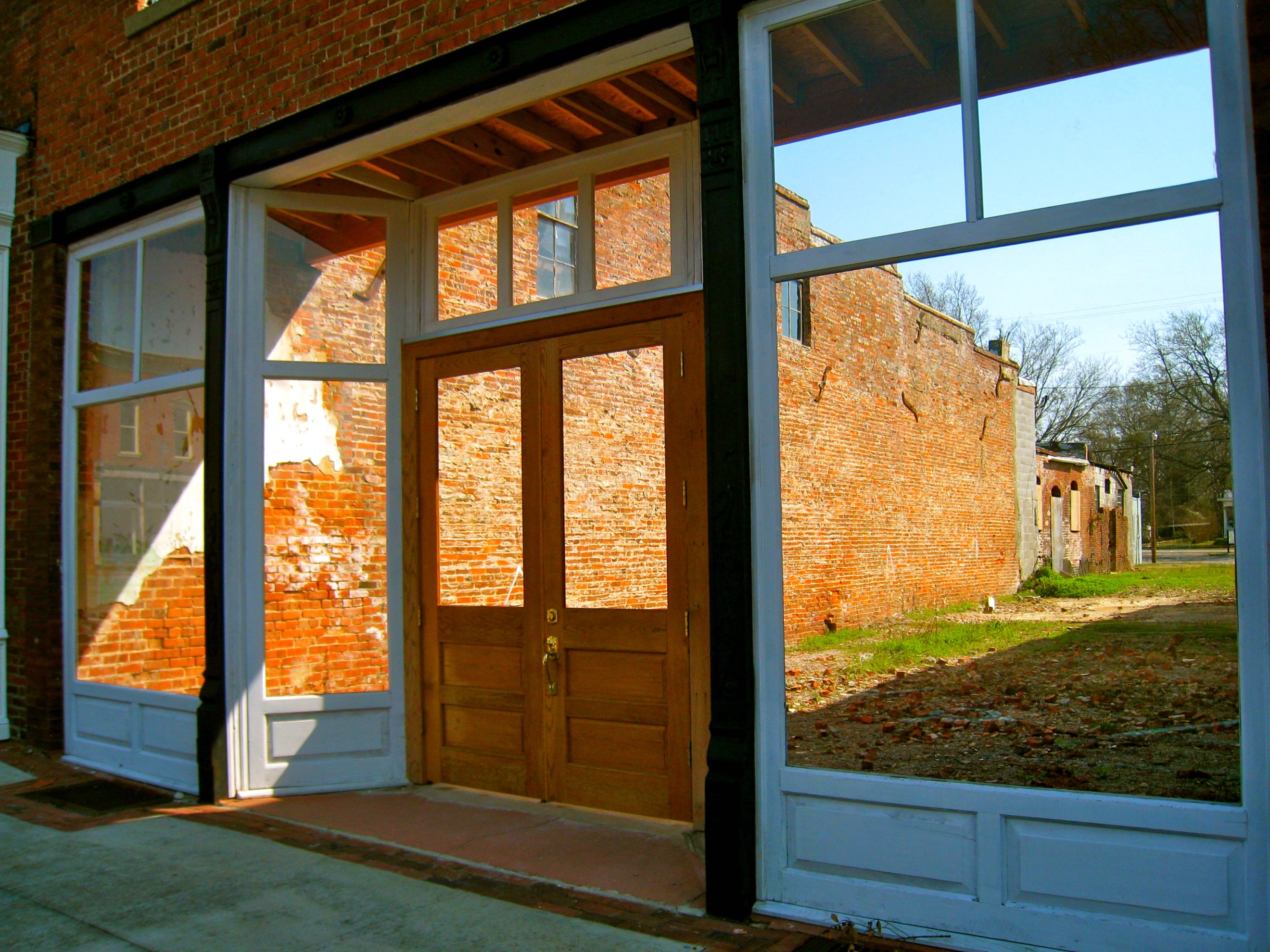
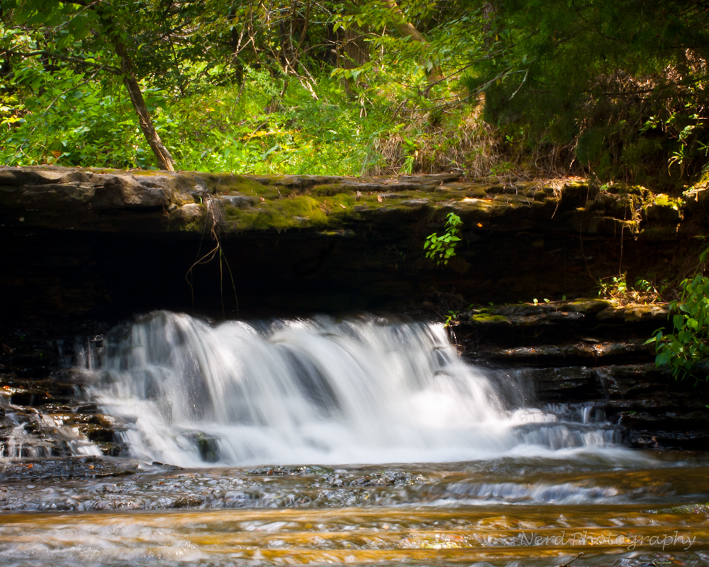
Through the Door

IMG_0035-1-2
IMG_0022-1

IMG_0005-1

IMG_0054-1

IMG_0330-1

IMG_0015-1

IMG_0013-1
IMG_0017-1
IMG_0024-1
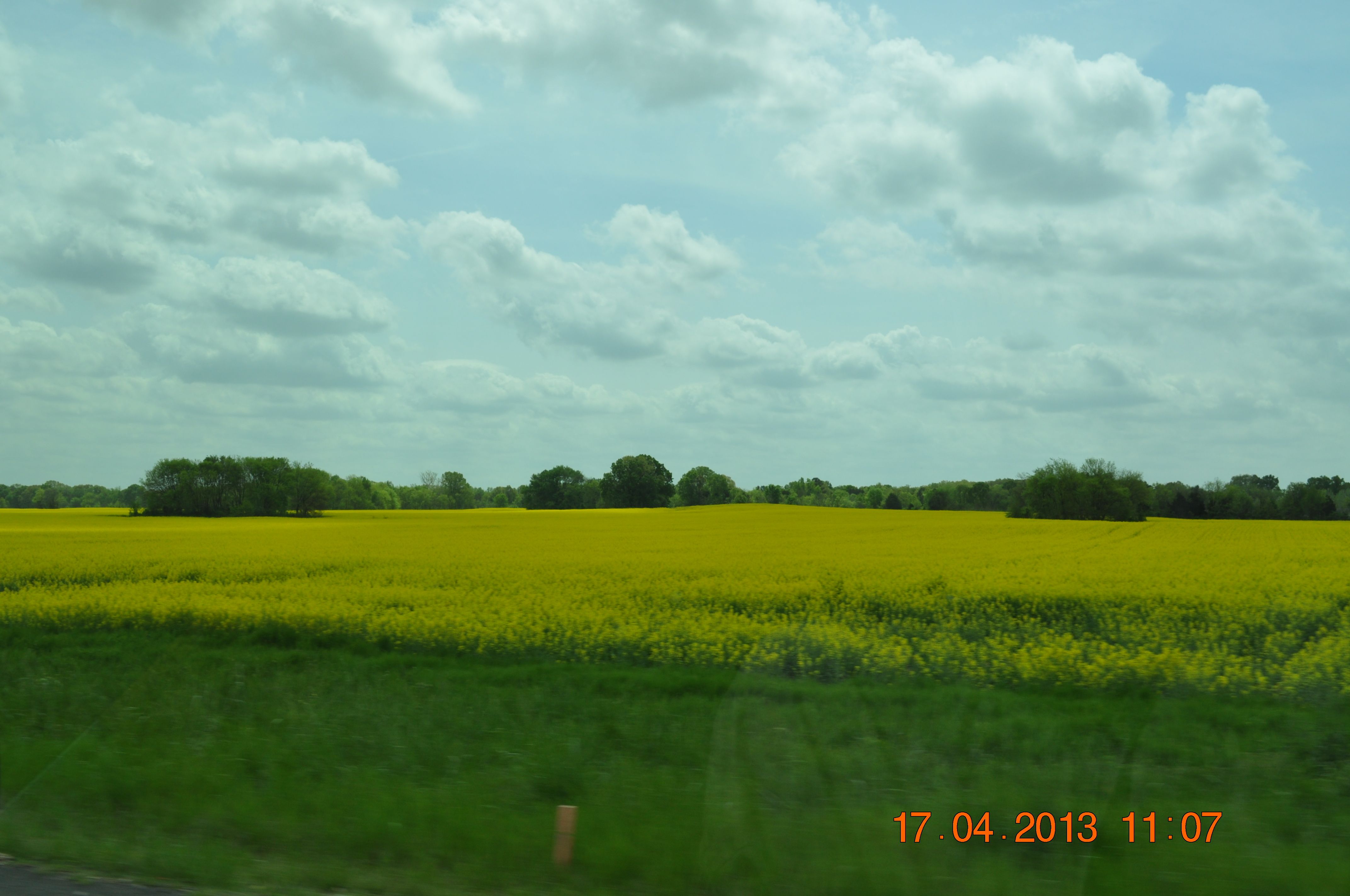
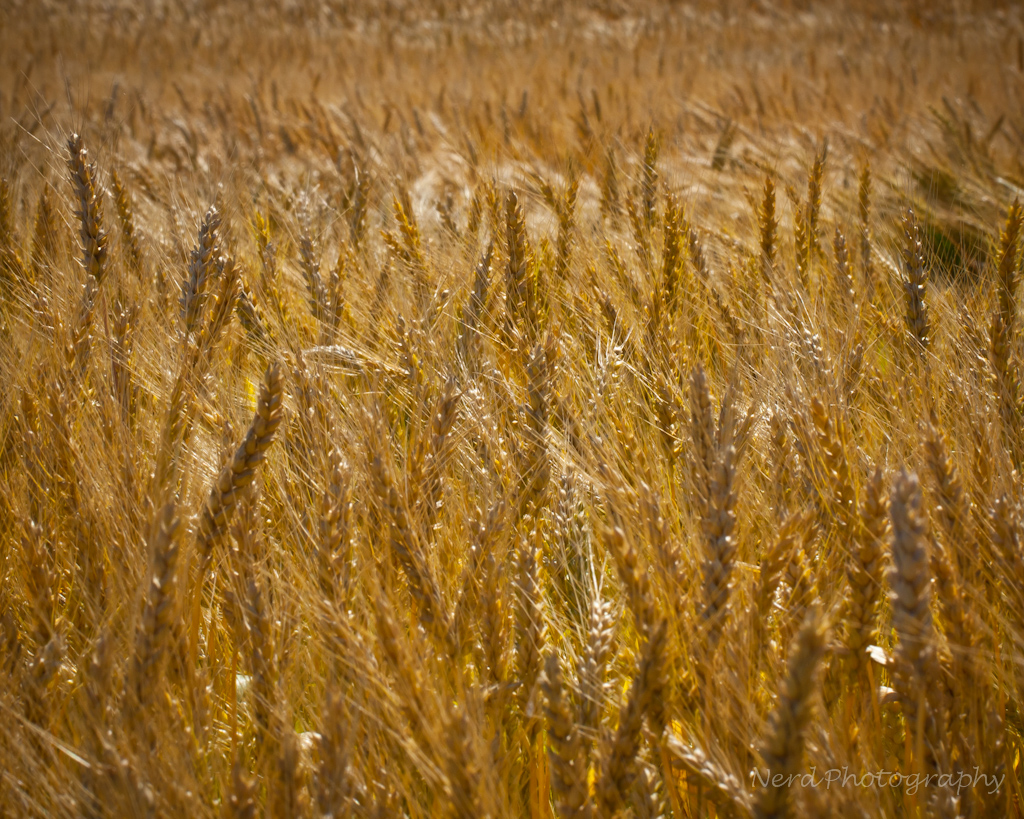
Golden fields of Canola Hwy 20 in Town Creek AL
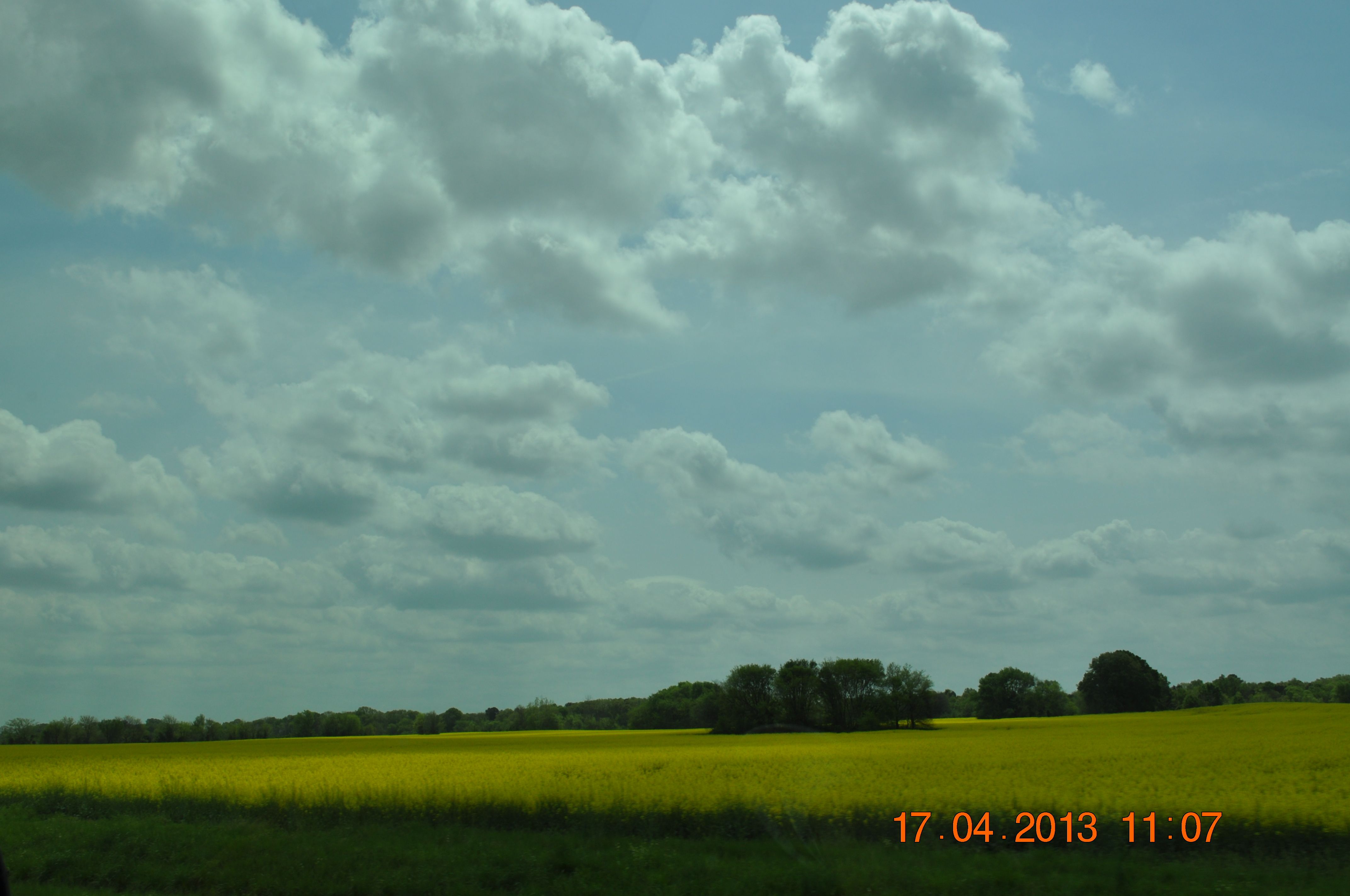
Golden fields of Canola Hwy 20 in Town Creek AL
Golden fields of Canola Hwy 20 in Town Creek AL
Golden fields of Canola Hwy 20 in Town Creek AL
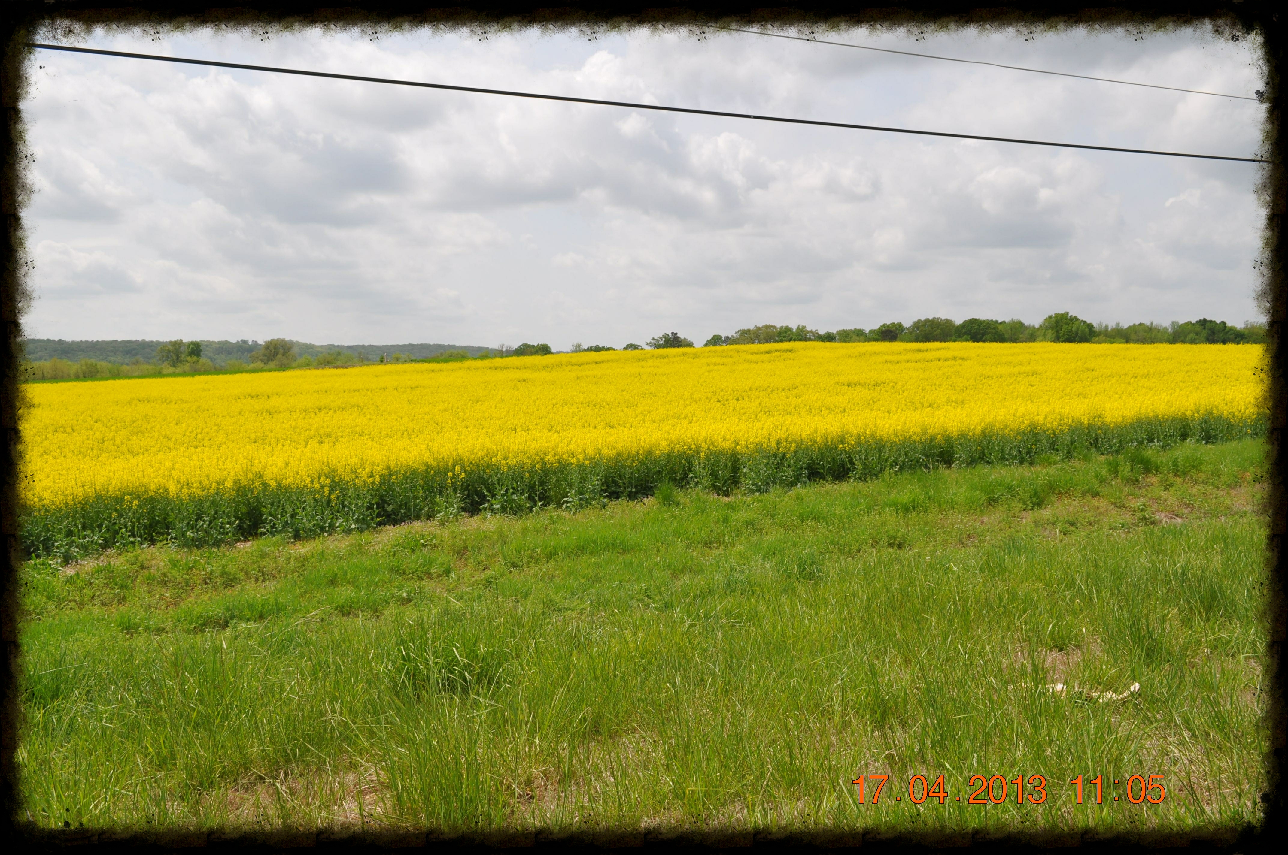
Golden fields of Canola Hwy 20 in Town Creek AL
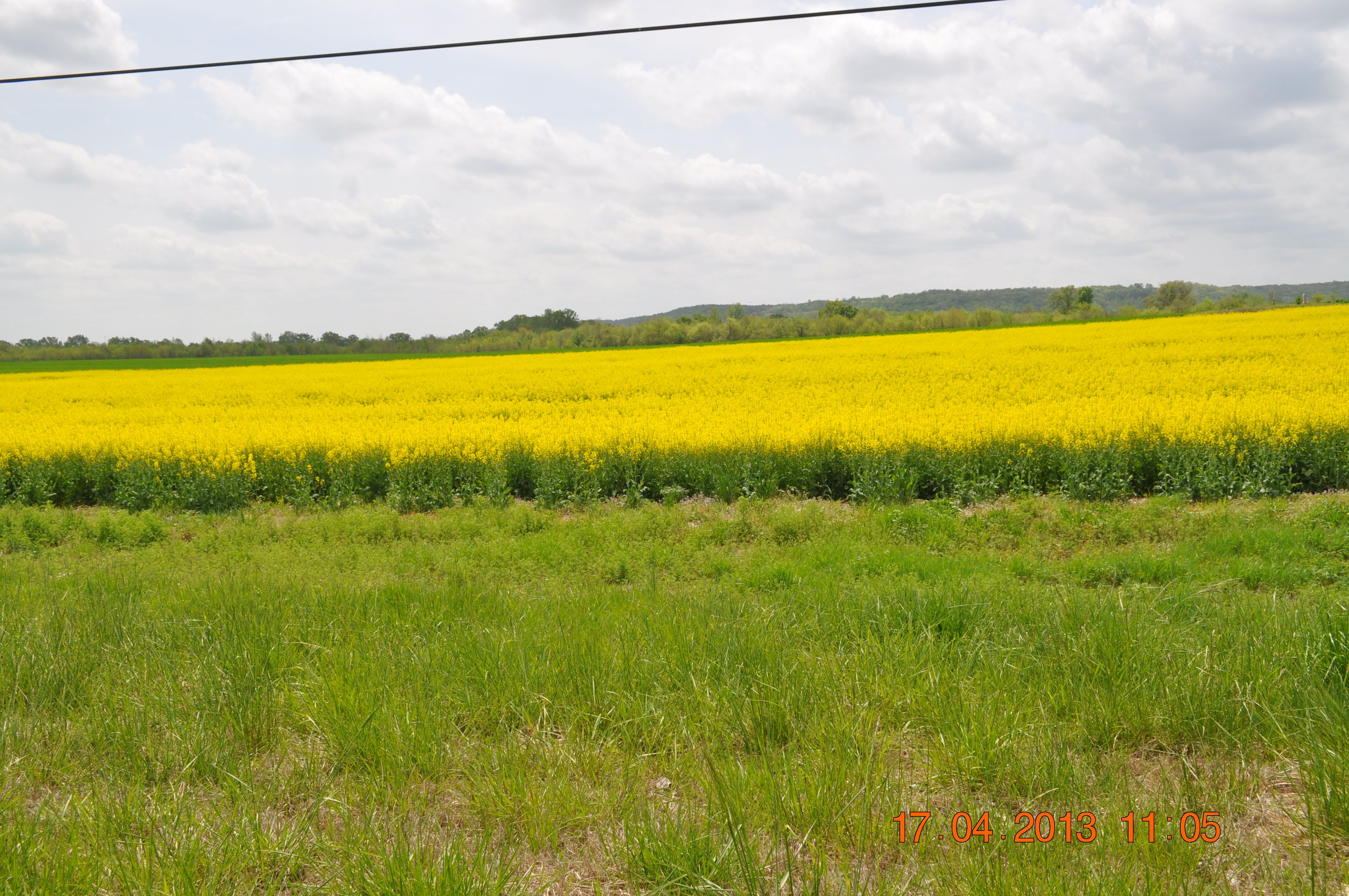
Golden fields of Canola Hwy 20 in Town Creek AL

solitary sandpiper
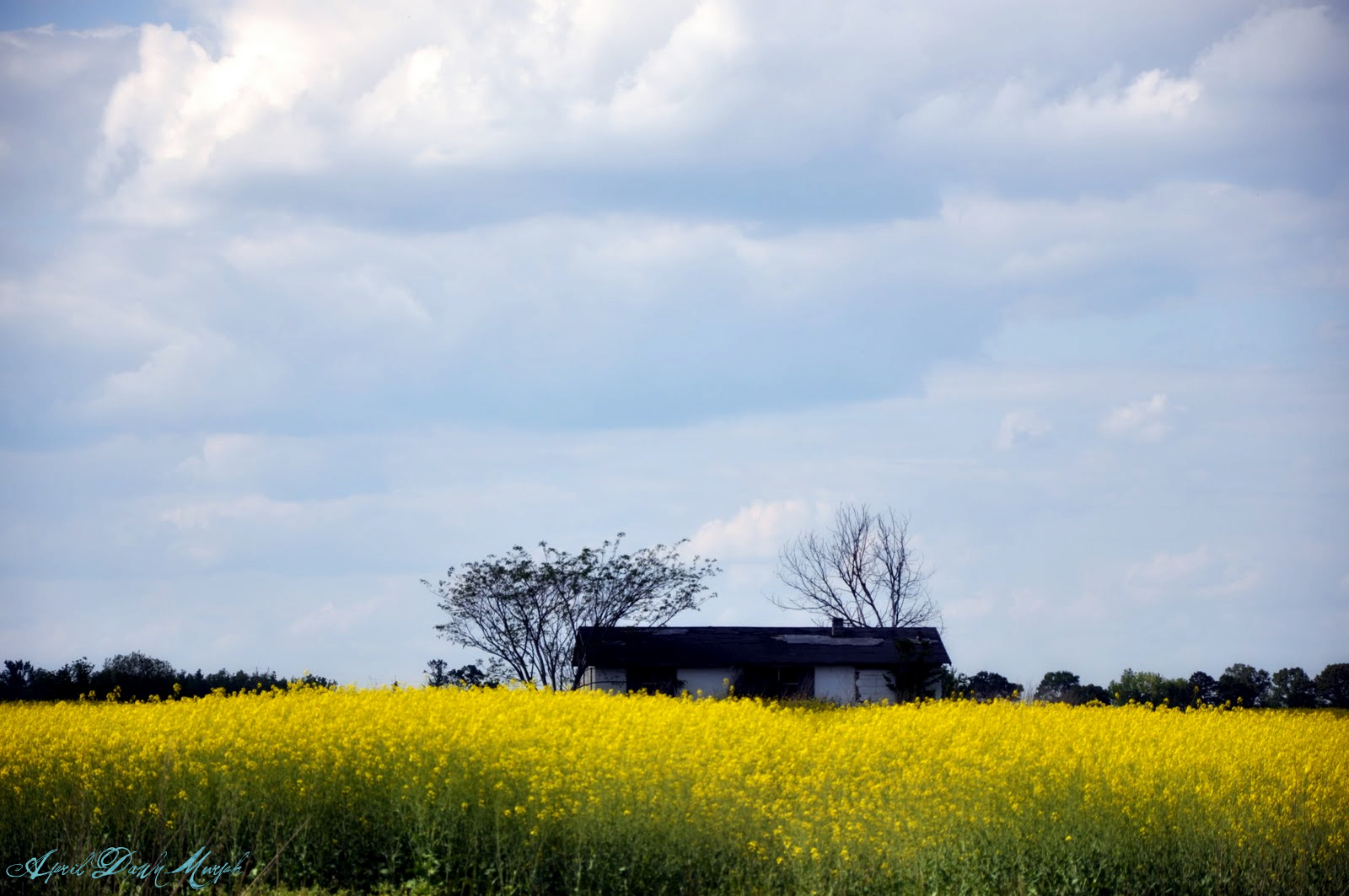
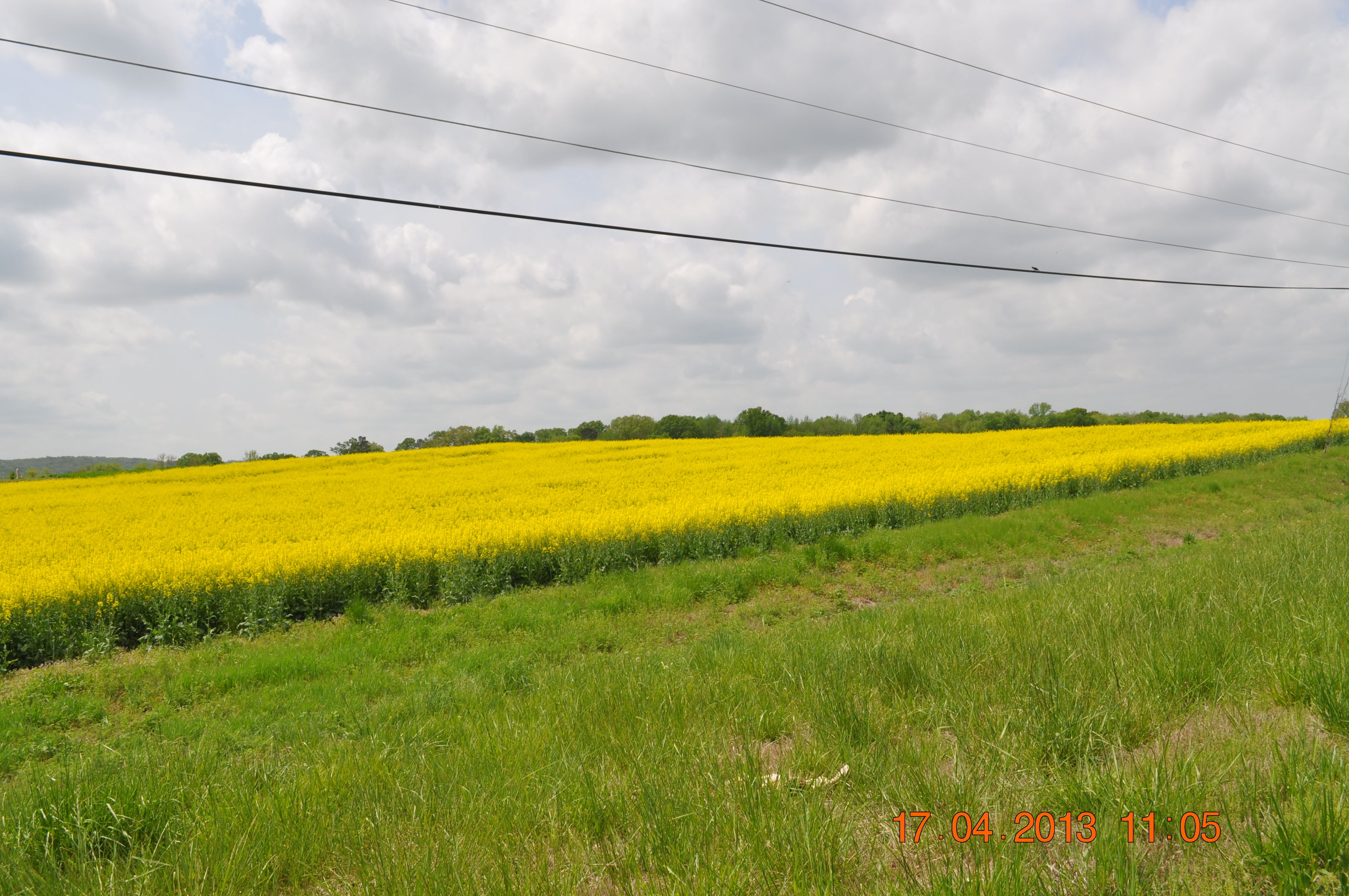
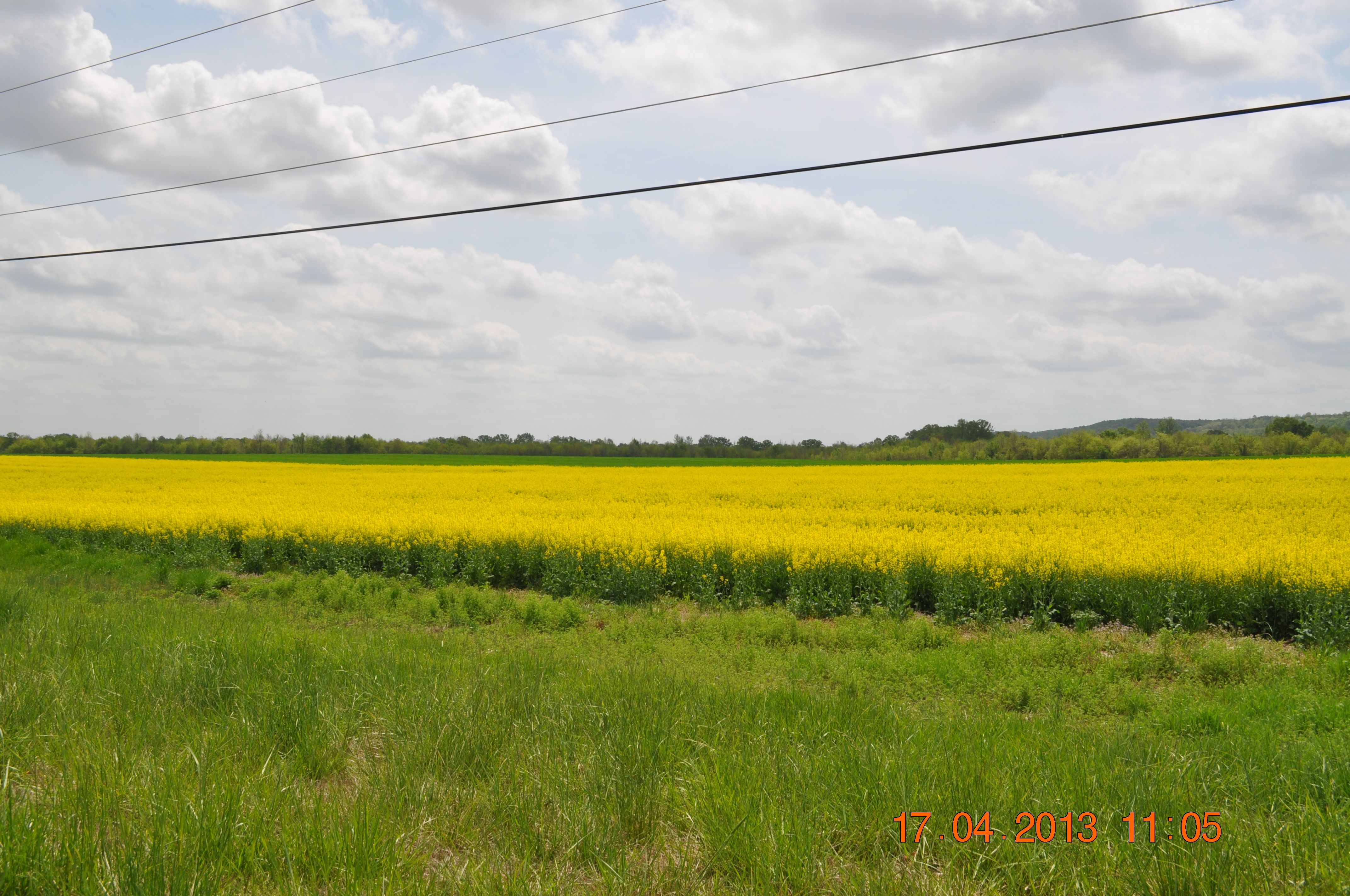
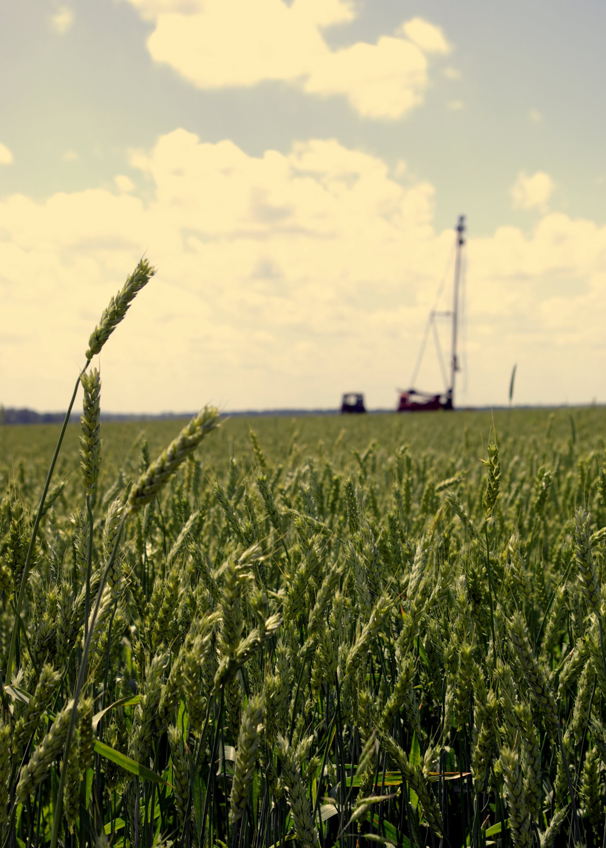
Canola Field

IMG_0180-1

IMG_0080-1

may 29-07

IMG_0144-1
IMG_0035-1
IMG_0037-1

IMG_0072-1-2
IMG_0083-1

IMG_0085-1

IMG_0015-1
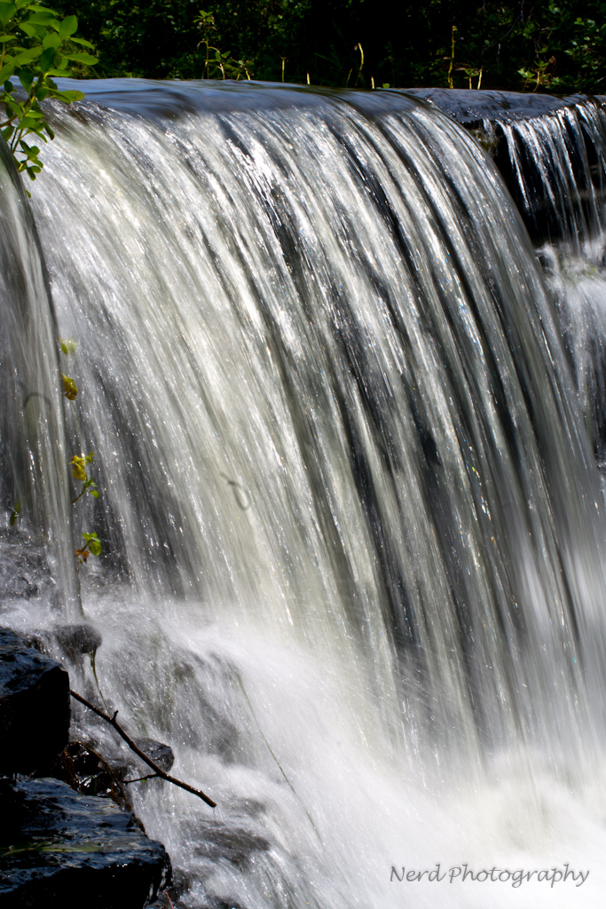
town creek 2

IMG_0033-1
IMG_0048-1
Topographic Map of AL-20, Courtland, AL, USA
Find elevation by address:

Places near AL-20, Courtland, AL, USA:
US-72 ALT, Hillsboro, AL, USA
Hillsboro
Courtland
Sanderson Ln, Courtland, AL, USA
Jefferson St, Courtland, AL, USA
606 Co Rd 91
50 Co Rd 91, Rogersville, AL, USA
264 Naomi Dr
Co Rd 91, Rogersville, AL, USA
Town Creek
Co Rd, Town Creek, AL, USA
Fishermans Resort Rd, Town Creek, AL, USA
Foster Mill Rd, Town Creek, AL, USA
6th St, Leighton, AL, USA
3075 Co Rd 235
University of North Alabama Hwy, Leighton, AL, USA
County Line Rd, Leighton, AL, USA
Leighton
Main St, Leighton, AL, USA
River Rd, Muscle Shoals, AL, USA
Recent Searches:
- Elevation of Corso Fratelli Cairoli, 35, Macerata MC, Italy
- Elevation of Tallevast Rd, Sarasota, FL, USA
- Elevation of 4th St E, Sonoma, CA, USA
- Elevation of Black Hollow Rd, Pennsdale, PA, USA
- Elevation of Oakland Ave, Williamsport, PA, USA
- Elevation of Pedrógão Grande, Portugal
- Elevation of Klee Dr, Martinsburg, WV, USA
- Elevation of Via Roma, Pieranica CR, Italy
- Elevation of Tavkvetili Mountain, Georgia
- Elevation of Hartfords Bluff Cir, Mt Pleasant, SC, USA