Elevation of AL-14, Aliceville, AL, USA
Location: United States > Alabama > Pickens County > Aliceville >
Longitude: -88.143328
Latitude: 33.1066326
Elevation: 51m / 167feet
Barometric Pressure: 101KPa
Elevation Map:
Satellite Map:
Related Photos:
Sunset at Pleasant Ridge

20110617_182218
20110617_182205
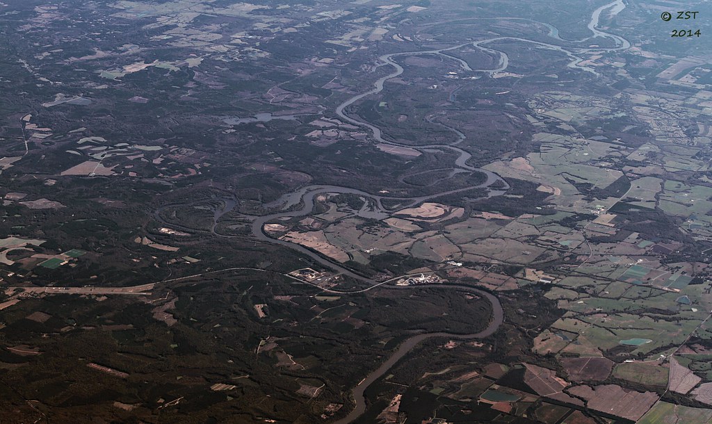
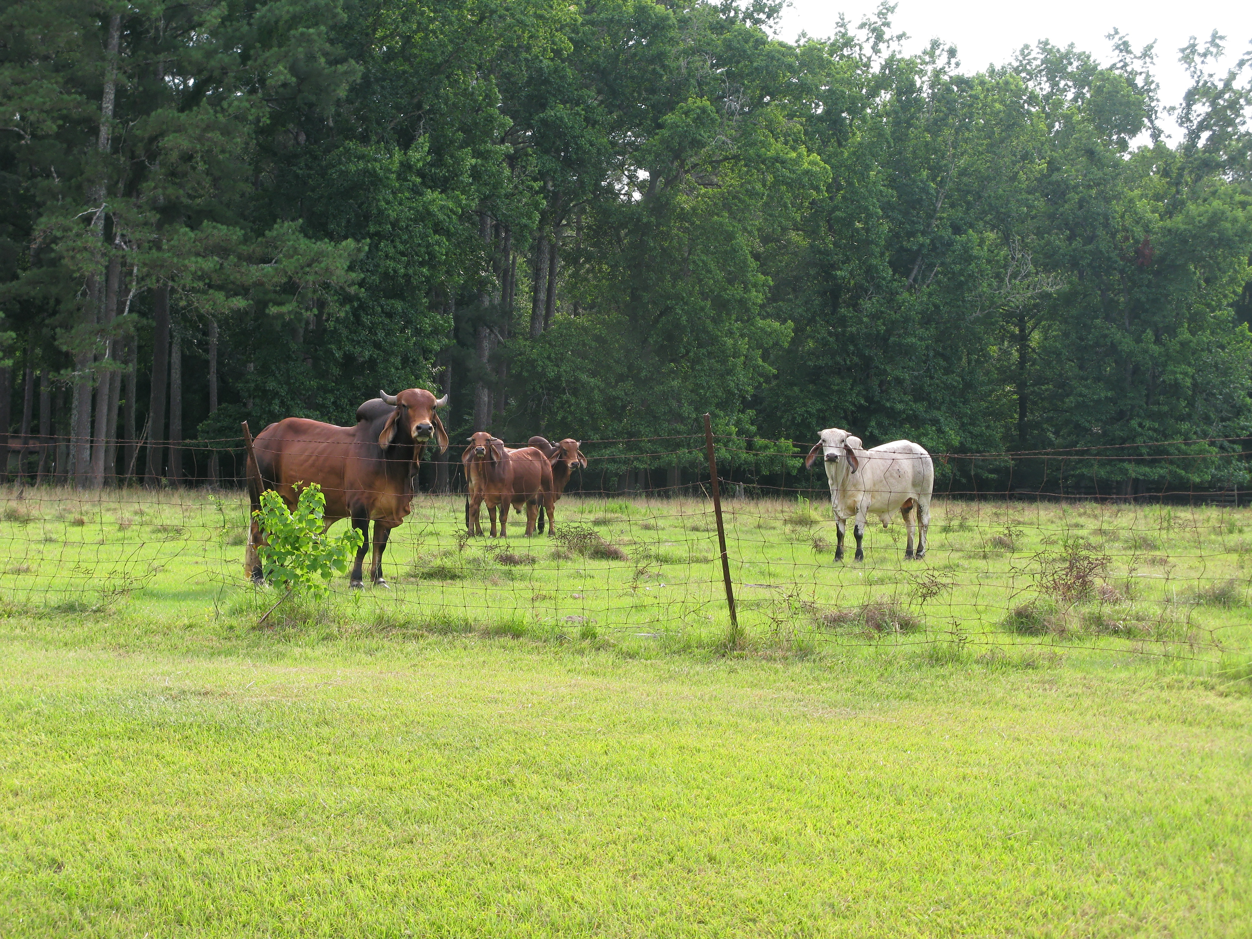
Tombigbee River, AL

#adventepiscopalschool,

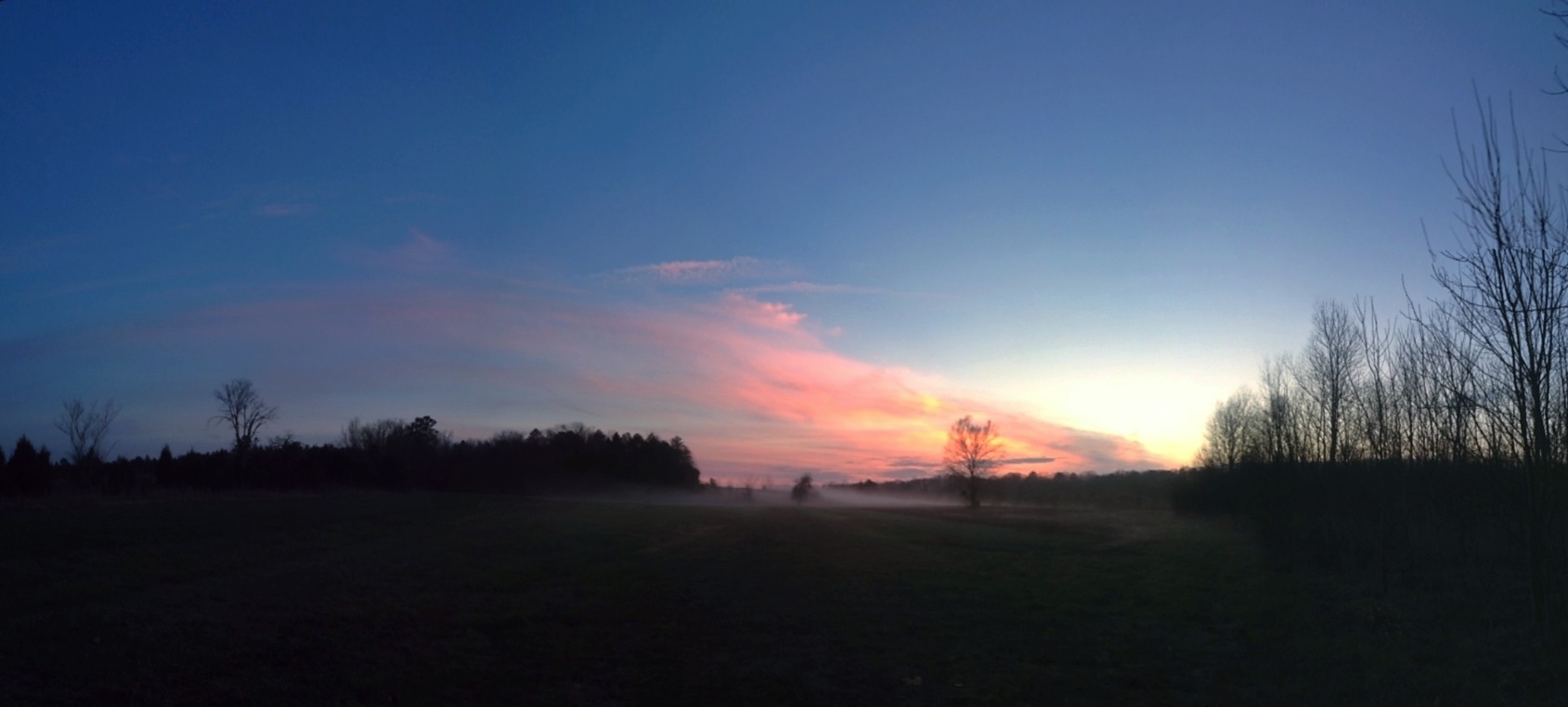
Pleasant Ridge Mist - IPhone 4S HDR
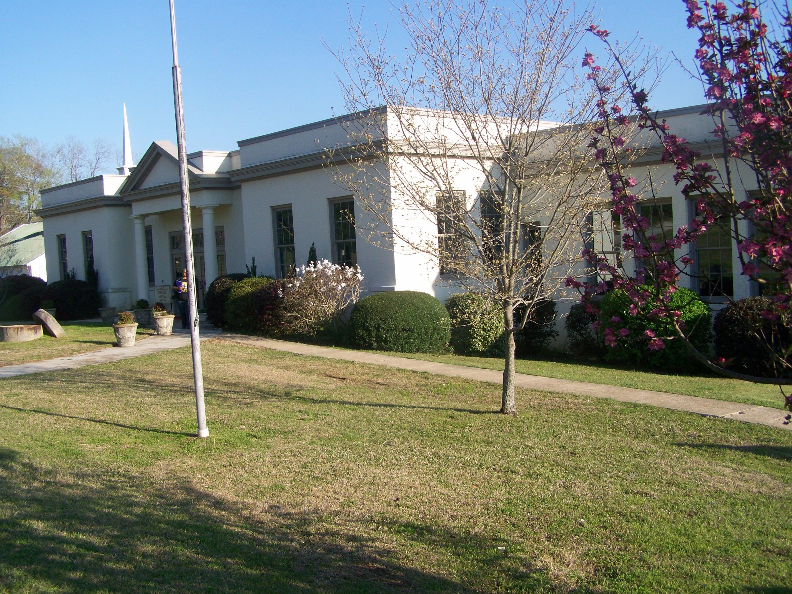
Aliceville Elementary and High School- Aliceville AL (1)

Post Office 35442 (Aliceville, Alabama)

Shark tooth creek

Shark Tooth Creek Express

Off to look for shark teeth.

Gotta have my coffee. Even camping.
Topographic Map of AL-14, Aliceville, AL, USA
Find elevation by address:

Places near AL-14, Aliceville, AL, USA:
911 3rd Ave Se
Mobile Rd, Aliceville, AL, USA
Aliceville
Alabama 17
AL-17, Carrollton, AL, USA
Co Rd 2, Aliceville, AL, USA
Co Rd 13, Aliceville, AL, USA
AL-14, Aliceville, AL, USA
Bonner Mill Rd, Carrollton, AL, USA
Co Rd 60, Eutaw, AL, USA
Co Rd 60, Eutaw, AL, USA
Carrollton
AL-14, Pickensville, AL, USA
Pickensville
Co Rd 63, Gordo, AL, USA
Co Rd, Boligee, AL, USA
Pickensville Campground
AL-17, Carrollton, AL, USA
Pickens County
AL-14, Eutaw, AL, USA
Recent Searches:
- Elevation of Tenjo, Cundinamarca, Colombia
- Elevation of Côte-des-Neiges, Montreal, QC H4A 3J6, Canada
- Elevation of Bobcat Dr, Helena, MT, USA
- Elevation of Zu den Ihlowbergen, Althüttendorf, Germany
- Elevation of Badaber, Peshawar, Khyber Pakhtunkhwa, Pakistan
- Elevation of SE Heron Loop, Lincoln City, OR, USA
- Elevation of Slanický ostrov, 01 Námestovo, Slovakia
- Elevation of Spaceport America, Co Rd A, Truth or Consequences, NM, USA
- Elevation of Warwick, RI, USA
- Elevation of Fern Rd, Whitmore, CA, USA