Elevation of Co Rd 60, Eutaw, AL, USA
Location: United States > Alabama > Greene County > Eutaw >
Longitude: -88.016400
Latitude: 33.0425504
Elevation: 56m / 184feet
Barometric Pressure: 101KPa
Elevation Map:
Satellite Map:
Related Photos:
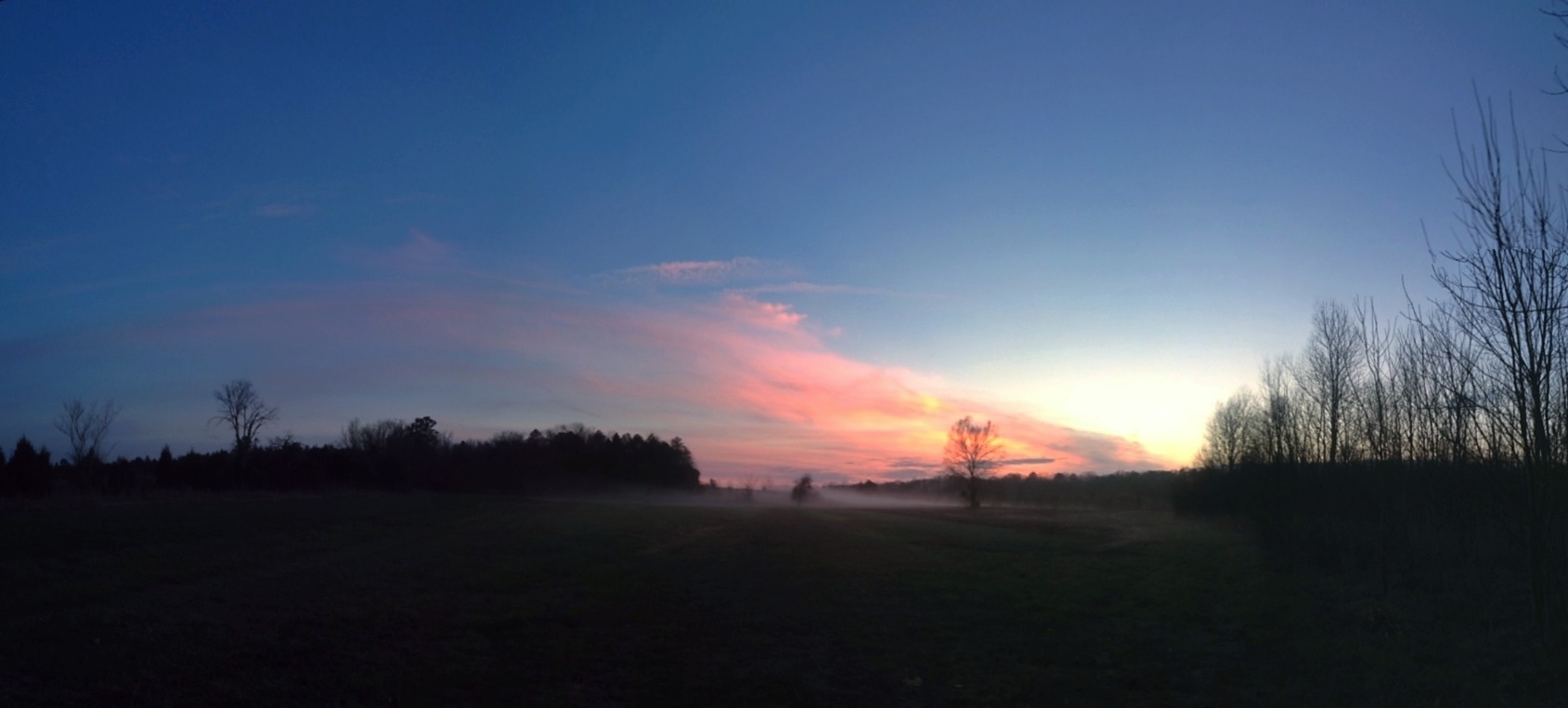
Sunset at Pleasant Ridge

DSC_0248-Edit.jpg
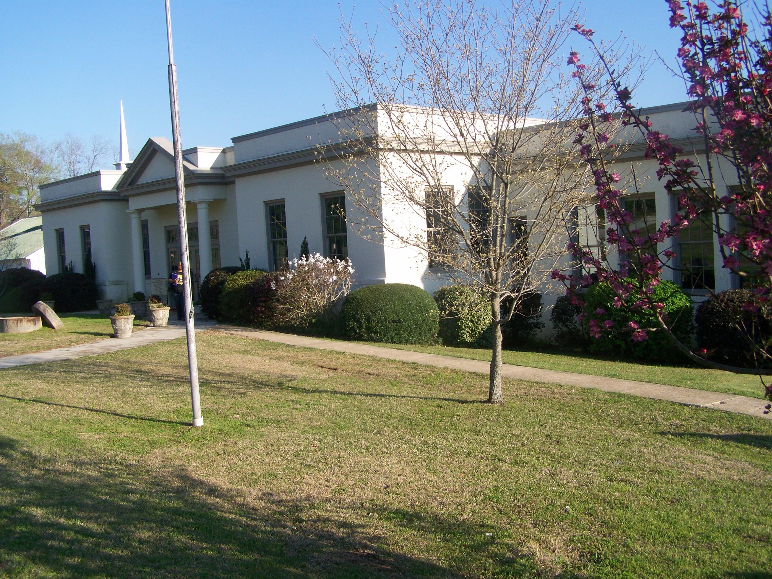
Aliceville Elementary and High School- Aliceville AL (1)
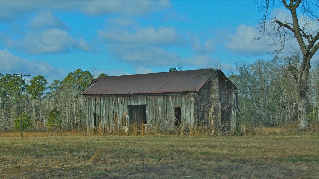
Old Home Place

Post Office 35442 (Aliceville, Alabama)

DSC_0258-Edit.jpg

DSC_0252-Edit.jpg

DSC_0251-Edit.jpg

DSC_0250-Edit-2.jpg

DSC_0249-Edit.jpg
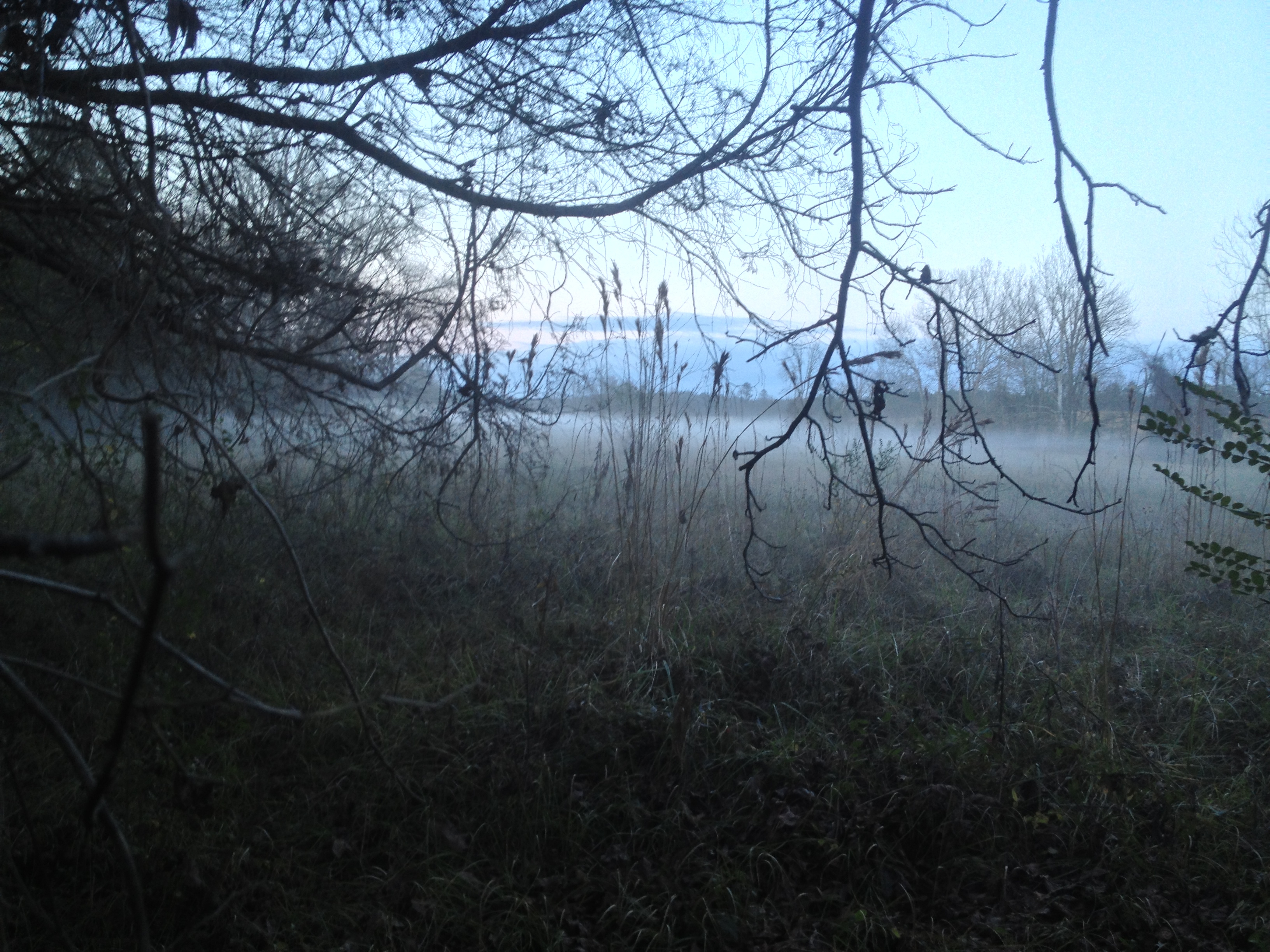
Pleasant Ridge Mist - IPhone 4S HDR
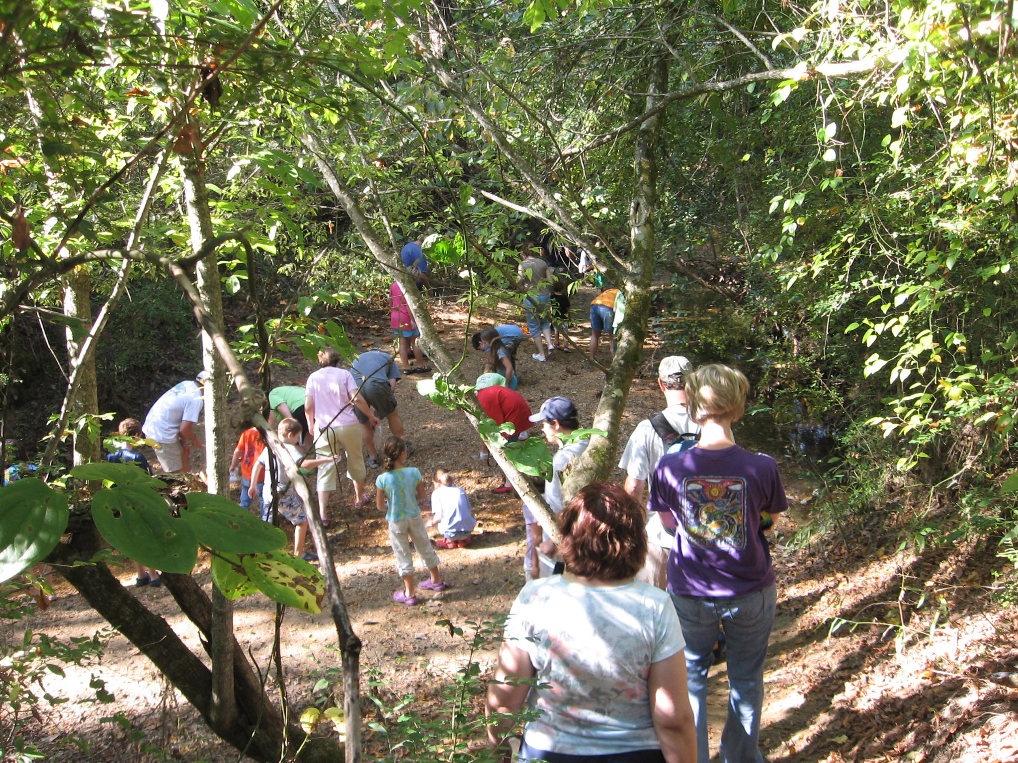
Shark tooth creek

Shark Tooth Creek Express

Off to look for shark teeth.

Gotta have my coffee. Even camping.
Topographic Map of Co Rd 60, Eutaw, AL, USA
Find elevation by address:

Places near Co Rd 60, Eutaw, AL, USA:
Co Rd 60, Eutaw, AL, USA
AL-14, Aliceville, AL, USA
Co Rd 63, Gordo, AL, USA
Co Rd 2, Aliceville, AL, USA
Greene County
AL-14, Eutaw, AL, USA
Co Rd, Boligee, AL, USA
Co Rd, Eutaw, AL, USA
AL-14, Aliceville, AL, USA
911 3rd Ave Se
Mobile Rd, Aliceville, AL, USA
Aliceville
AL-17, Carrollton, AL, USA
Alabama 17
Co Rd 13, Aliceville, AL, USA
Co Rd, Ralph, AL, USA
Co Rd 97, Boligee, AL, USA
44 Co Rd 91, Boligee, AL, USA
Knoxville
51 Co Rd, Knoxville, AL, USA
Recent Searches:
- Elevation of Gateway Blvd SE, Canton, OH, USA
- Elevation of East W.T. Harris Boulevard, E W.T. Harris Blvd, Charlotte, NC, USA
- Elevation of West Sugar Creek, Charlotte, NC, USA
- Elevation of Wayland, NY, USA
- Elevation of Steadfast Ct, Daphne, AL, USA
- Elevation of Lagasgasan, X+CQH, Tiaong, Quezon, Philippines
- Elevation of Rojo Ct, Atascadero, CA, USA
- Elevation of Flagstaff Drive, Flagstaff Dr, North Carolina, USA
- Elevation of Avery Ln, Lakeland, FL, USA
- Elevation of Woolwine, VA, USA