Elevation of Akatsi, Ghana
Location: Ghana > Volta Region >
Longitude: 0.7913227
Latitude: 6.1945458
Elevation: 35m / 115feet
Barometric Pressure: 101KPa
Elevation Map:
Satellite Map:
Related Photos:
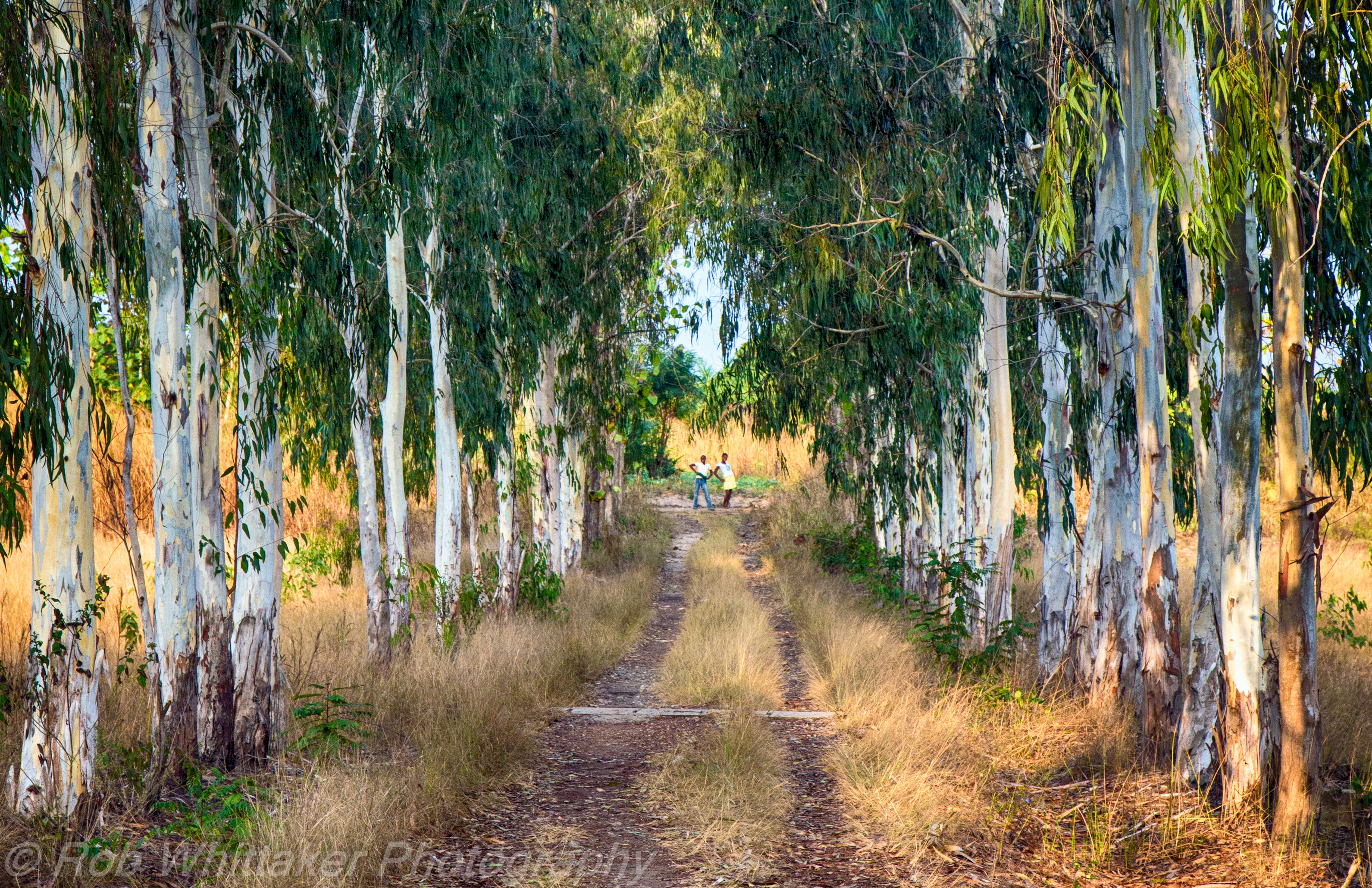
Dark Hedges Ghana

Highway, Abor, Volta, Ghana. #JujuFilms

Volta to Accra Highway
Topographic Map of Akatsi, Ghana
Find elevation by address:

Places in Akatsi, Ghana:
Places near Akatsi, Ghana:
Akatsi
Ketu
Keta
Ave
Totsivi
Golfe
Commisariat Of Djidjolé (3rd District)
Aflao
North Tongu
Anloga
Lome
Ada Foah
Dangme East
Zio
Bè Hedze
Danyi
Volta Region
Ho
Hotel Porte Baguida
Ho Municipal
Recent Searches:
- Elevation of Erika Dr, Windsor, CA, USA
- Elevation of Village Ln, Finleyville, PA, USA
- Elevation of 24 Oakland Rd #, Scotland, ON N0E 1R0, Canada
- Elevation of Deep Gap Farm Rd E, Mill Spring, NC, USA
- Elevation of Dog Leg Dr, Minden, NV, USA
- Elevation of Dog Leg Dr, Minden, NV, USA
- Elevation of Kambingan Sa Pansol Atbp., Purok 7 Pansol, Candaba, Pampanga, Philippines
- Elevation of Pinewood Dr, New Bern, NC, USA
- Elevation of Mountain View, CA, USA
- Elevation of Foligno, Province of Perugia, Italy