Elevation of Abraham González, José Mariano Jiménez, Chih., Mexico
Location: Mexico > Chihuahua > Jiménez Municipality > José Mariano Jiménez >
Longitude: -104.91479
Latitude: 27.1281717
Elevation: 1382m / 4534feet
Barometric Pressure: 86KPa
Elevation Map:
Satellite Map:
Related Photos:
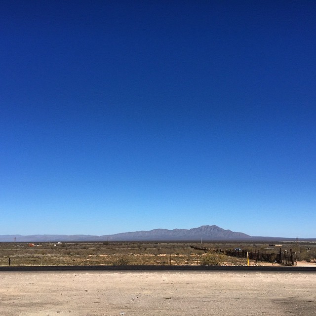
Camino a tierra santa.
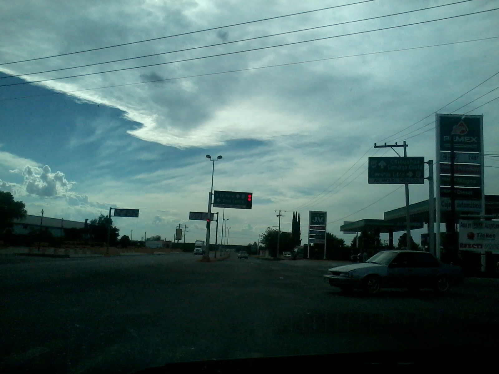
2013-06-08 17.20.15

Tanque de agua, FFCC Jimenez

Turismo Excursiones #19 y TuriStar #11033

Espérenmeeee!!!!

Hija, mama y abue!!! :D

Shönstatt
Topographic Map of Abraham González, José Mariano Jiménez, Chih., Mexico
Find elevation by address:

Places in Abraham González, José Mariano Jiménez, Chih., Mexico:
Places near Abraham González, José Mariano Jiménez, Chih., Mexico:
Avenida Juárez, Abraham González, José Mariano Jiménez, Chih., Mexico
Jiménez Municipality
José Mariano Jiménez
Villa Coronado
Loma La Virgen
Camargo
Saucillo
Recent Searches:
- Elevation of Erika Dr, Windsor, CA, USA
- Elevation of Village Ln, Finleyville, PA, USA
- Elevation of 24 Oakland Rd #, Scotland, ON N0E 1R0, Canada
- Elevation of Deep Gap Farm Rd E, Mill Spring, NC, USA
- Elevation of Dog Leg Dr, Minden, NV, USA
- Elevation of Dog Leg Dr, Minden, NV, USA
- Elevation of Kambingan Sa Pansol Atbp., Purok 7 Pansol, Candaba, Pampanga, Philippines
- Elevation of Pinewood Dr, New Bern, NC, USA
- Elevation of Mountain View, CA, USA
- Elevation of Foligno, Province of Perugia, Italy