Elevation of Øksendalsøra 7, Øksendal, Norway
Location: Norway > Møre Og Romsdal > Sunndal >
Longitude: 8.4304831
Latitude: 62.7185263
Elevation: 2m / 7feet
Barometric Pressure: 101KPa
Elevation Map:
Satellite Map:
Related Photos:
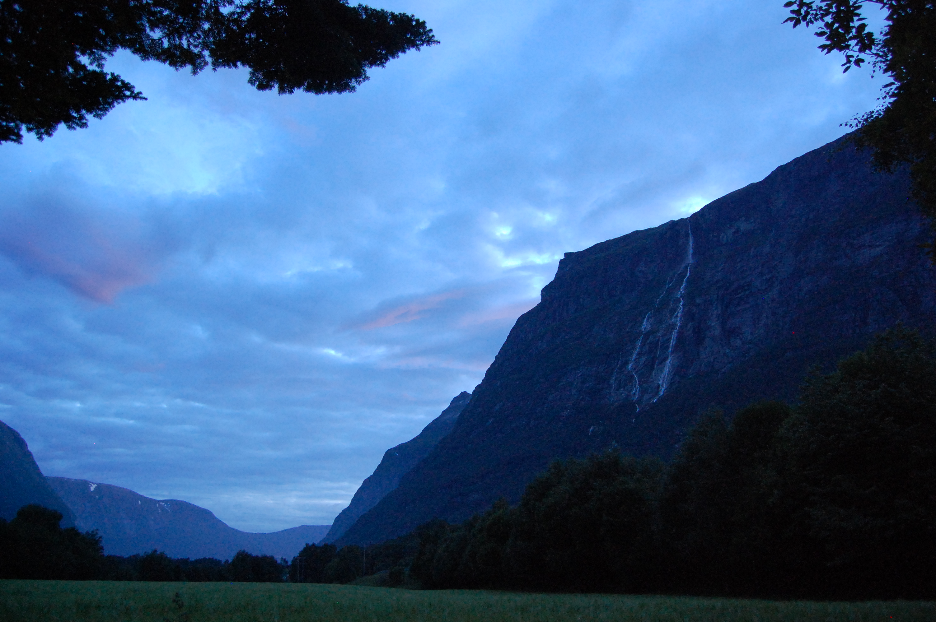
Litledalen valley
The Party
The Party
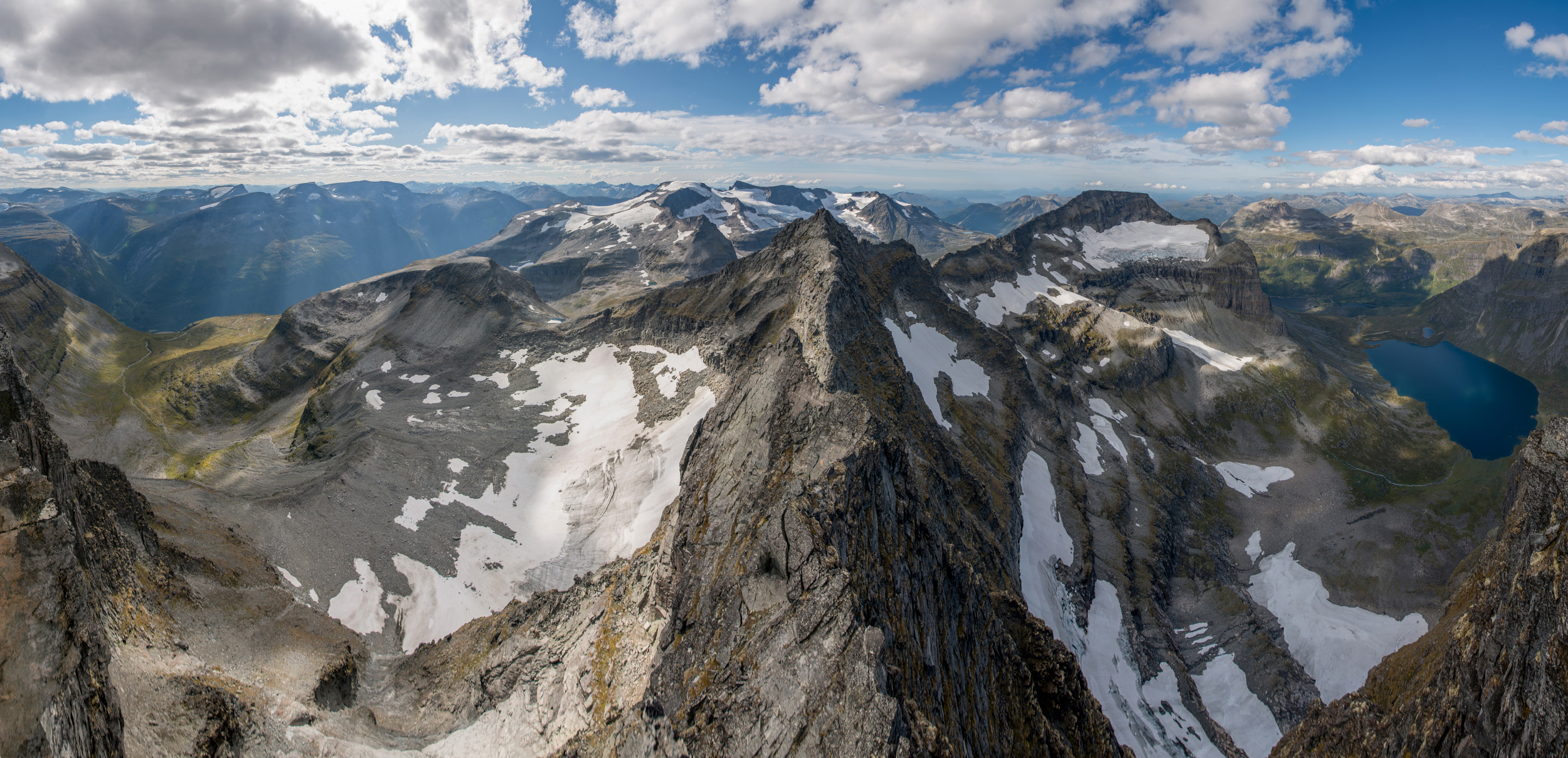
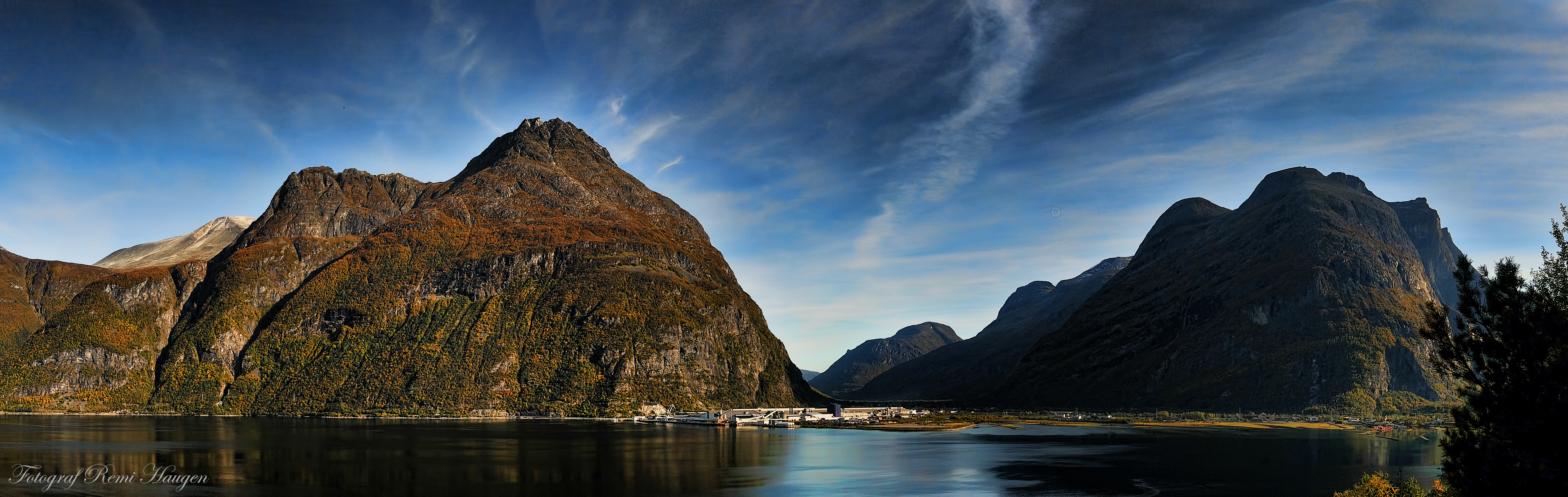
Store Trolla Panorama
Fjord BBQ
Road to Innerdalen
Renndølsetra

My Photo Stream-632
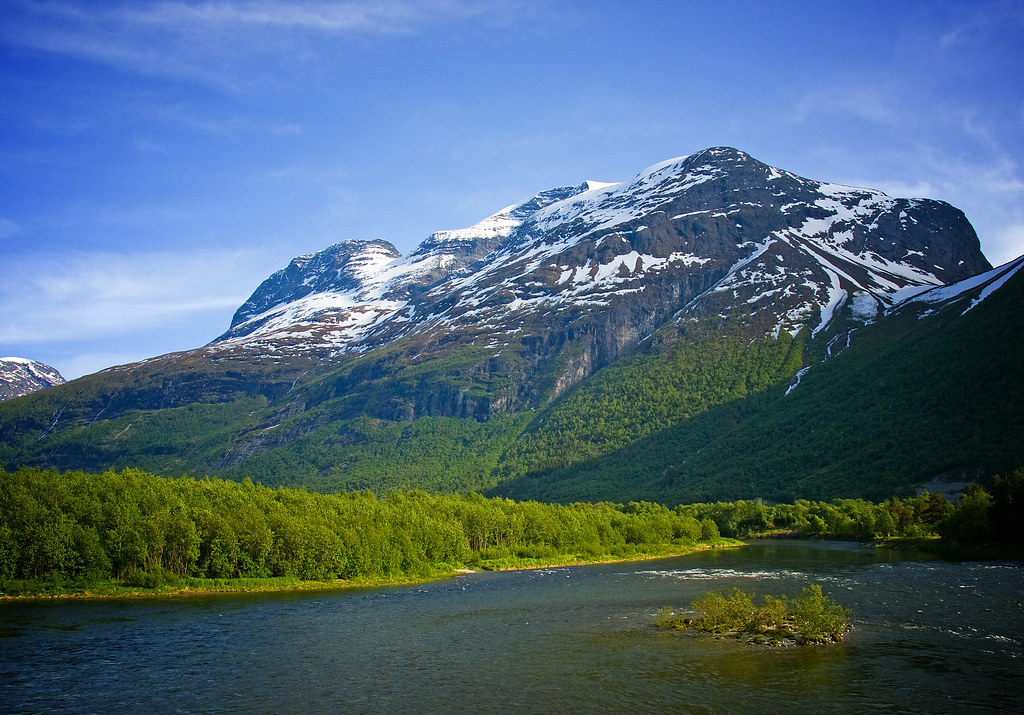
Mountains surrounding Norwegian fjord

My Photo Stream-631

My Photo Stream-630
The Party
Fra / From Sunndalen #1
The Party

My Photo Stream-670
The Ceremony

The Party
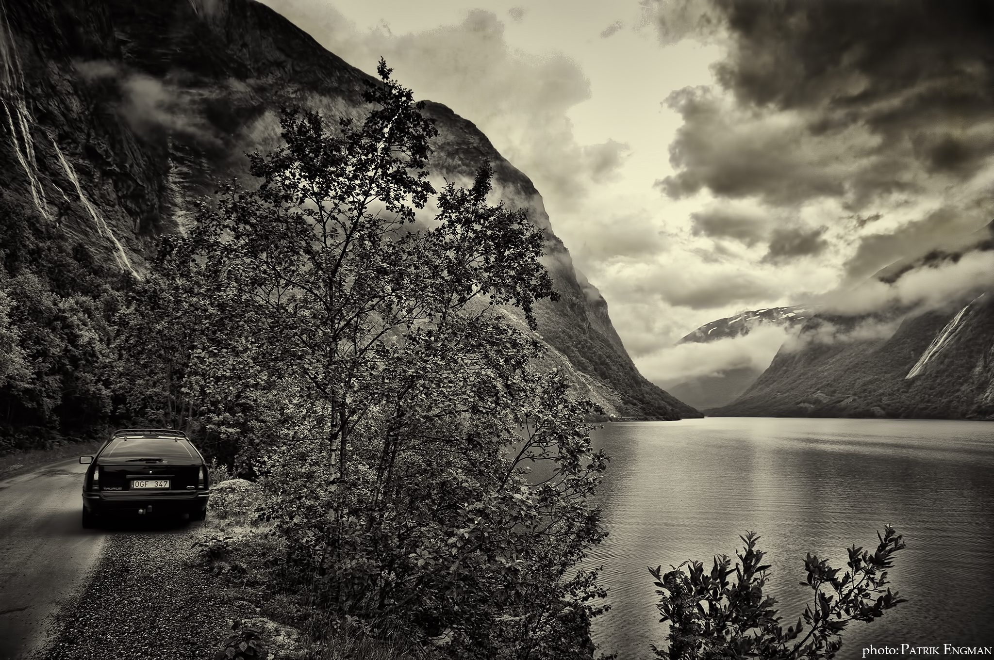
Norway B&W
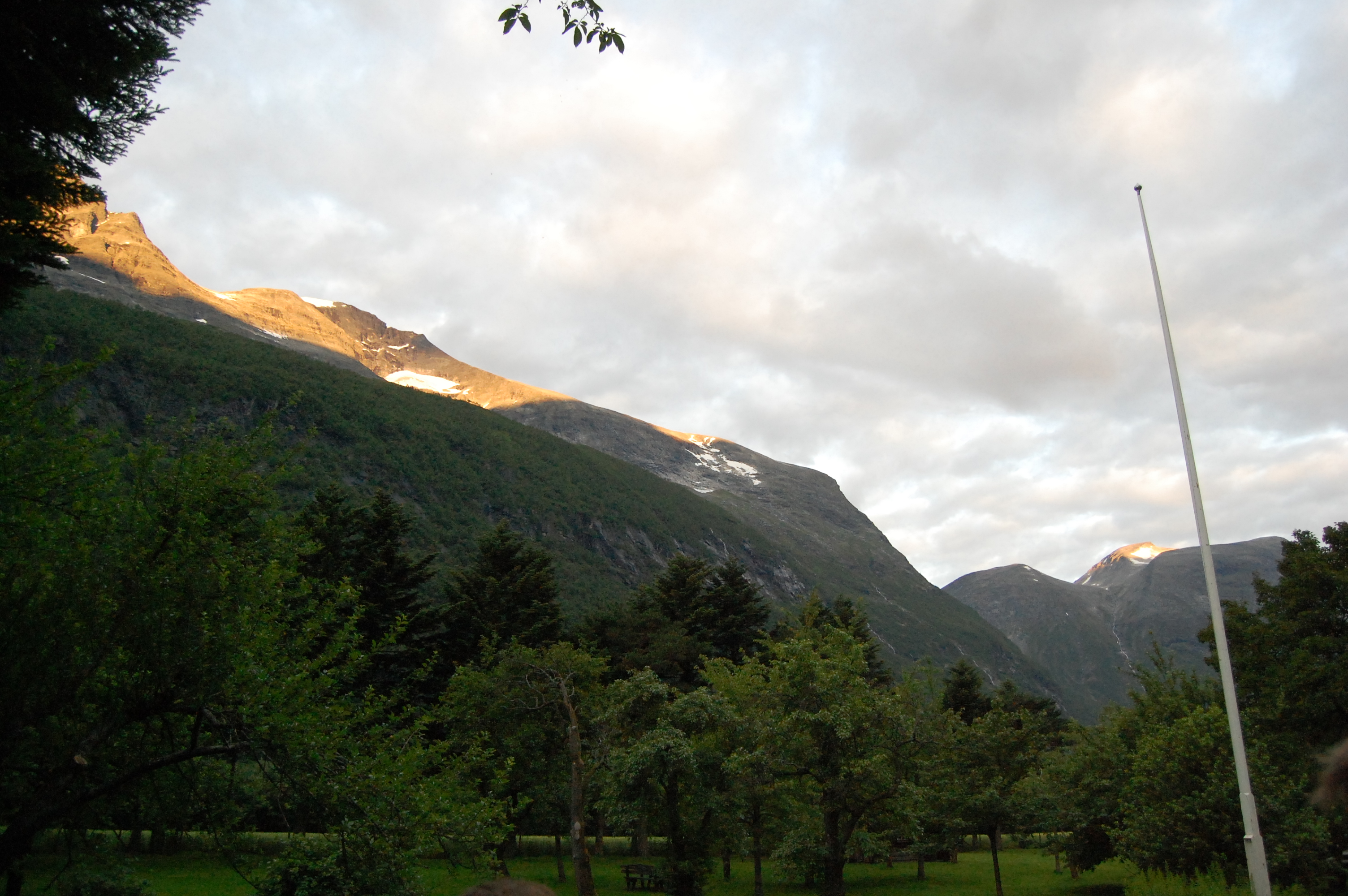
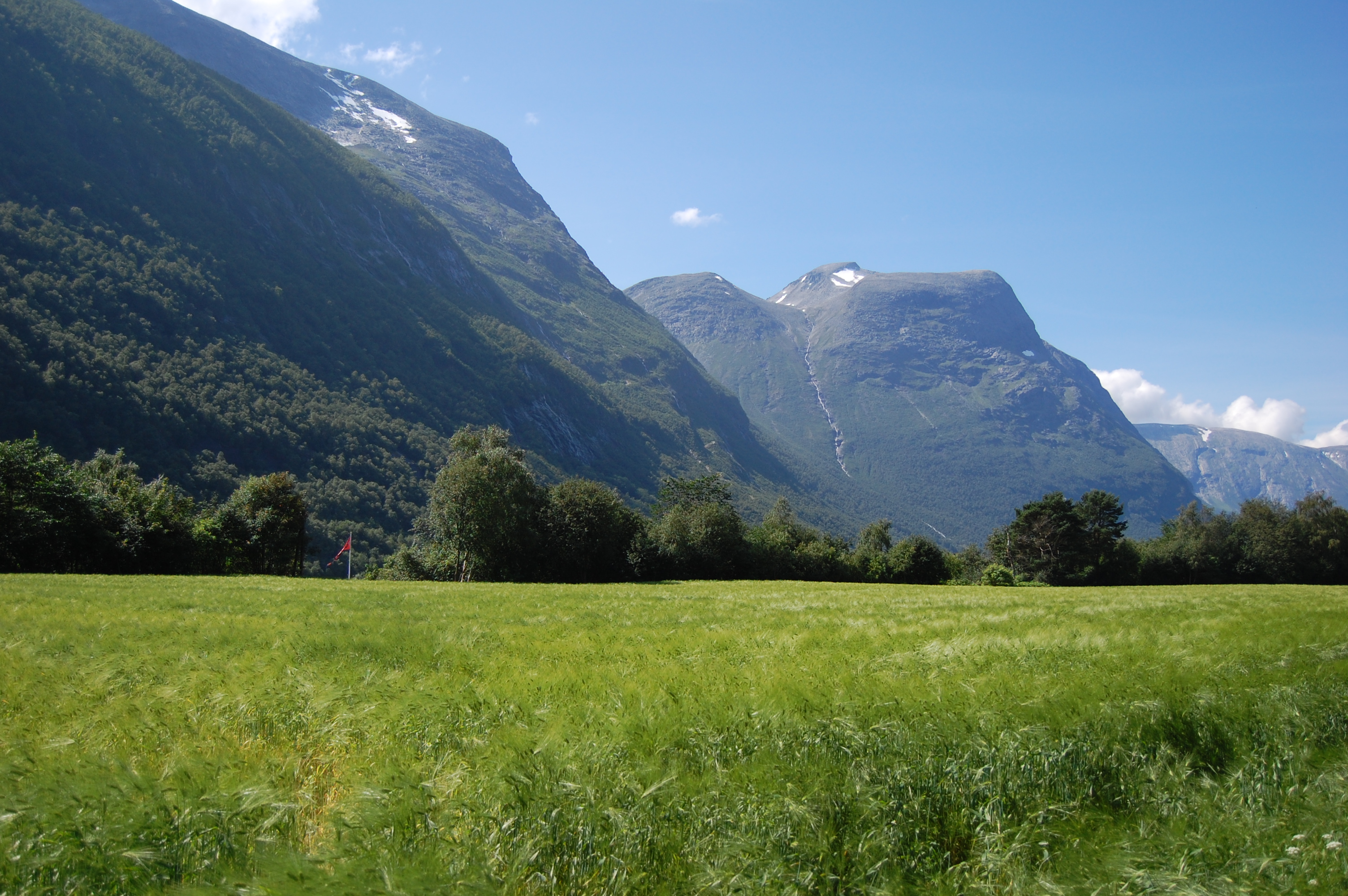
Autumn in Sunndal.

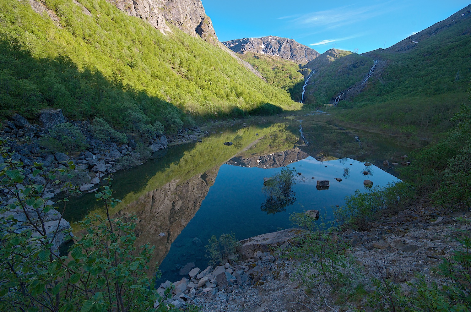
Sunrise Reflection

Norway 2010 - 17 004
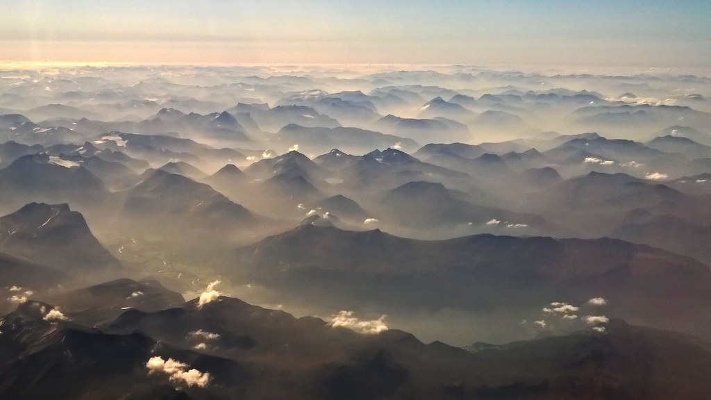
flying over Norway...
The Ceremony
Topographic Map of Øksendalsøra 7, Øksendal, Norway
Find elevation by address:

Places near Øksendalsøra 7, Øksendal, Norway:
Finnset
Eikesdalen
Fv 10, Halsanaustan, Norway
Mardalsfossen
Halsa
Nesset
Møre Og Romsdal
Bjorli
E 10, Åndalsnes, Norway
Romsdalen
Gjemnes
E39, Gjemnes, Norway
Nedre Frei
Rauma
Åndalsnes
Stigfossen
Trollstigen
Kristiansund
Trollstigen Kafe
Rv64, Averøy, Norway
Recent Searches:
- Elevation of Tenjo, Cundinamarca, Colombia
- Elevation of Côte-des-Neiges, Montreal, QC H4A 3J6, Canada
- Elevation of Bobcat Dr, Helena, MT, USA
- Elevation of Zu den Ihlowbergen, Althüttendorf, Germany
- Elevation of Badaber, Peshawar, Khyber Pakhtunkhwa, Pakistan
- Elevation of SE Heron Loop, Lincoln City, OR, USA
- Elevation of Slanický ostrov, 01 Námestovo, Slovakia
- Elevation of Spaceport America, Co Rd A, Truth or Consequences, NM, USA
- Elevation of Warwick, RI, USA
- Elevation of Fern Rd, Whitmore, CA, USA