Elevation of E39, Gjemnes, Norway
Location: Norway > Møre Og Romsdal > Gjemnes >
Longitude: 7.7902538
Latitude: 62.9596919
Elevation: 5m / 16feet
Barometric Pressure: 101KPa
Elevation Map:
Satellite Map:
Related Photos:

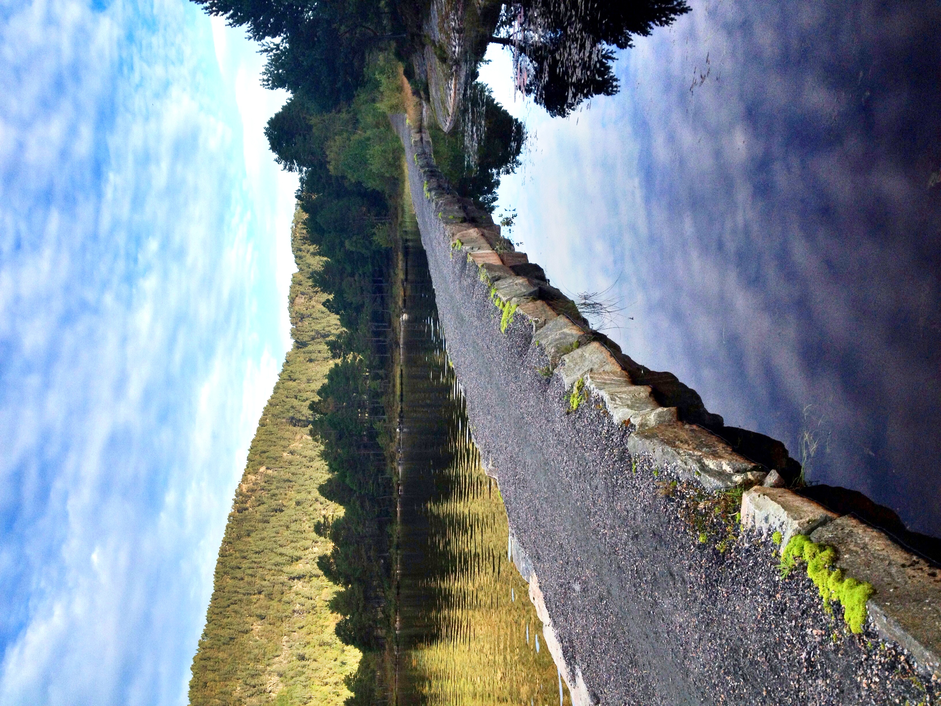
Gjemnessund Bridge

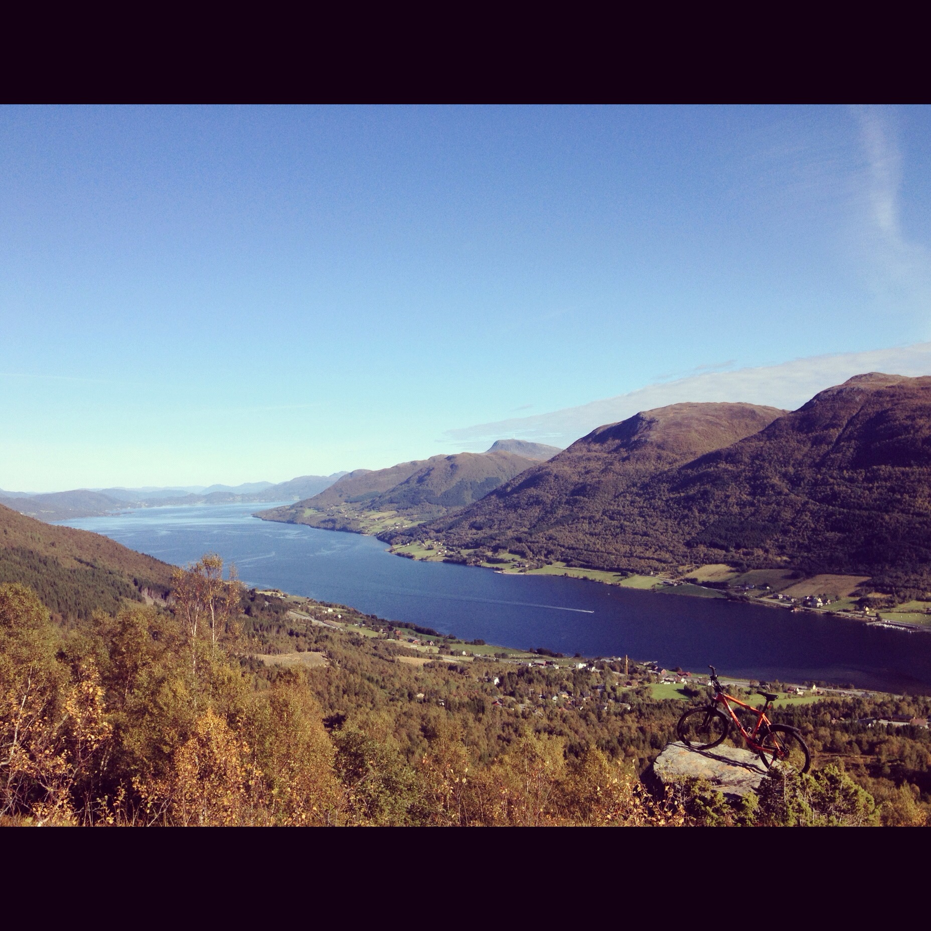
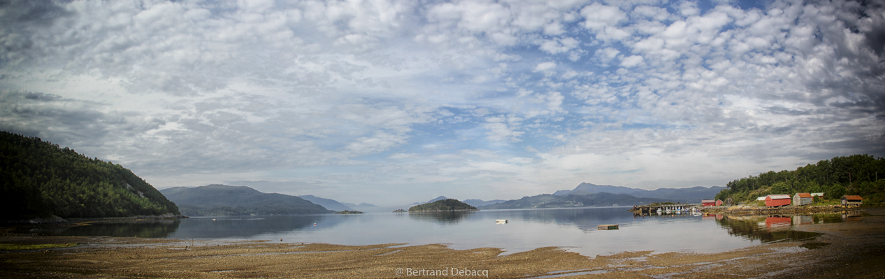
View of Kvernesfjordin

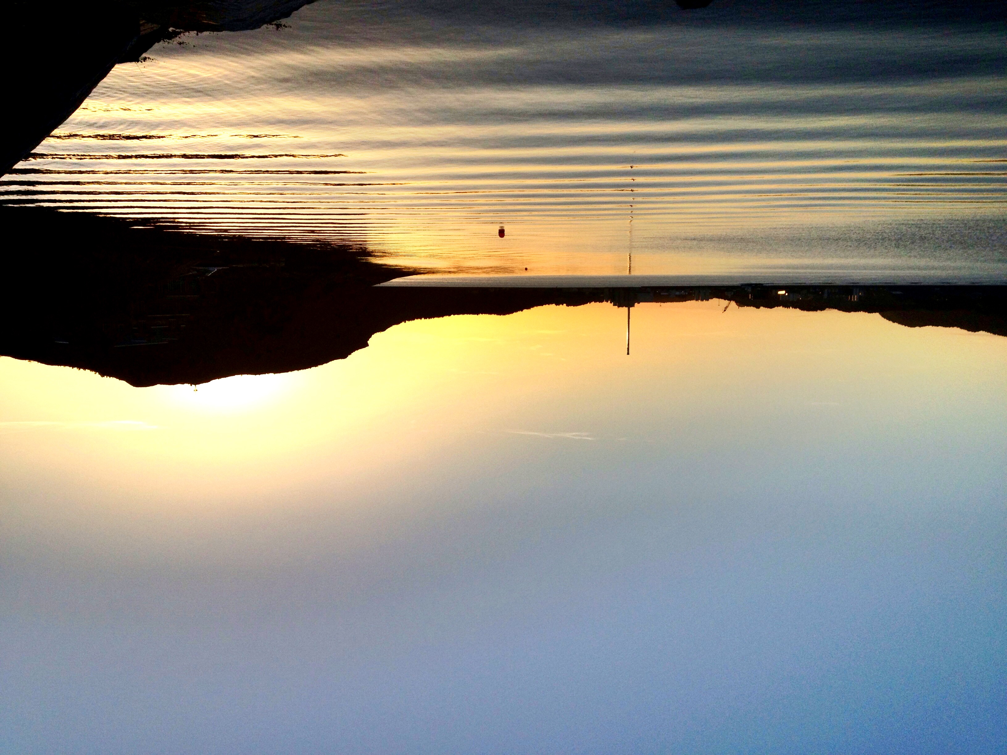
Industry at night.
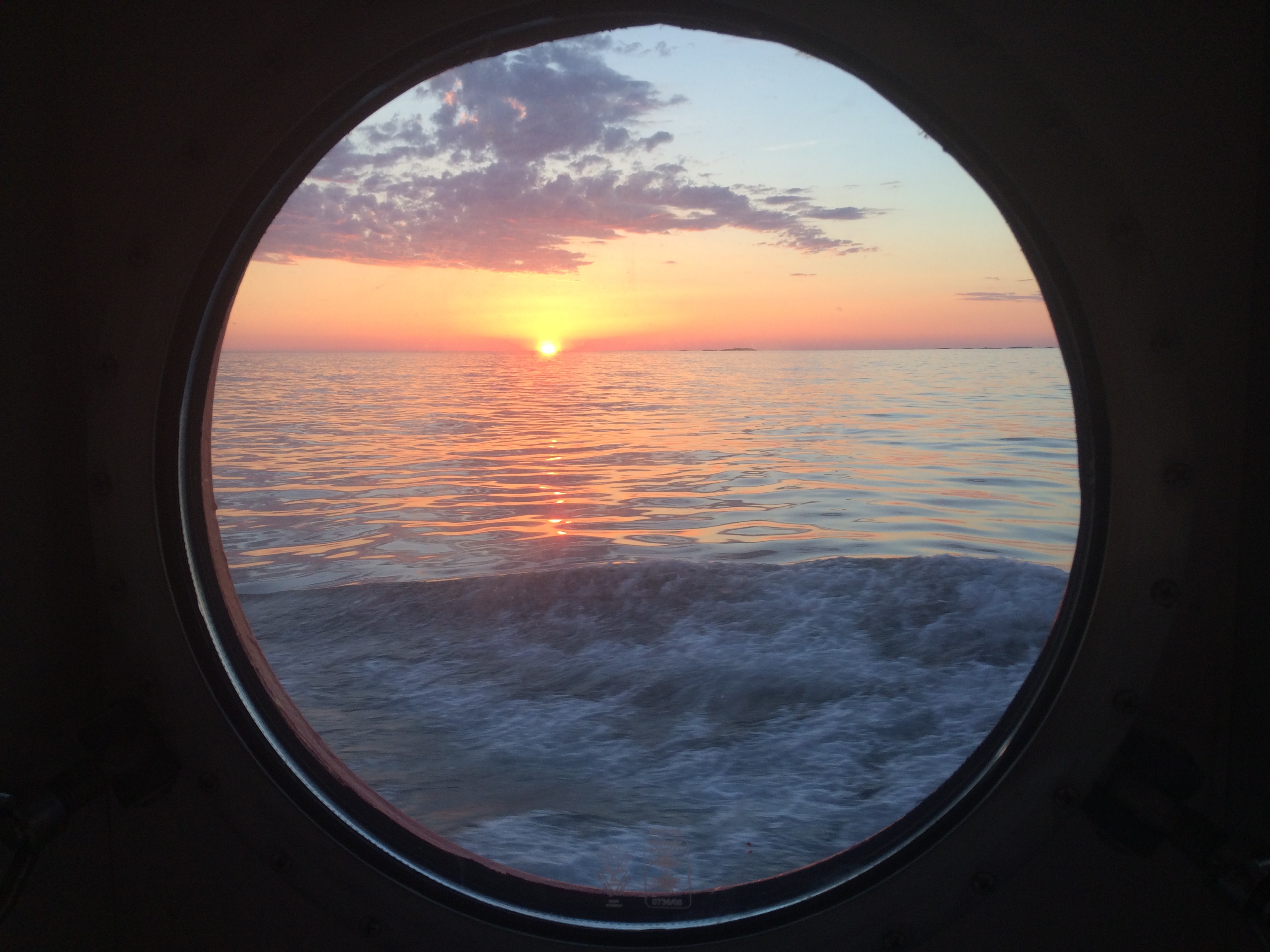
View out the porthole
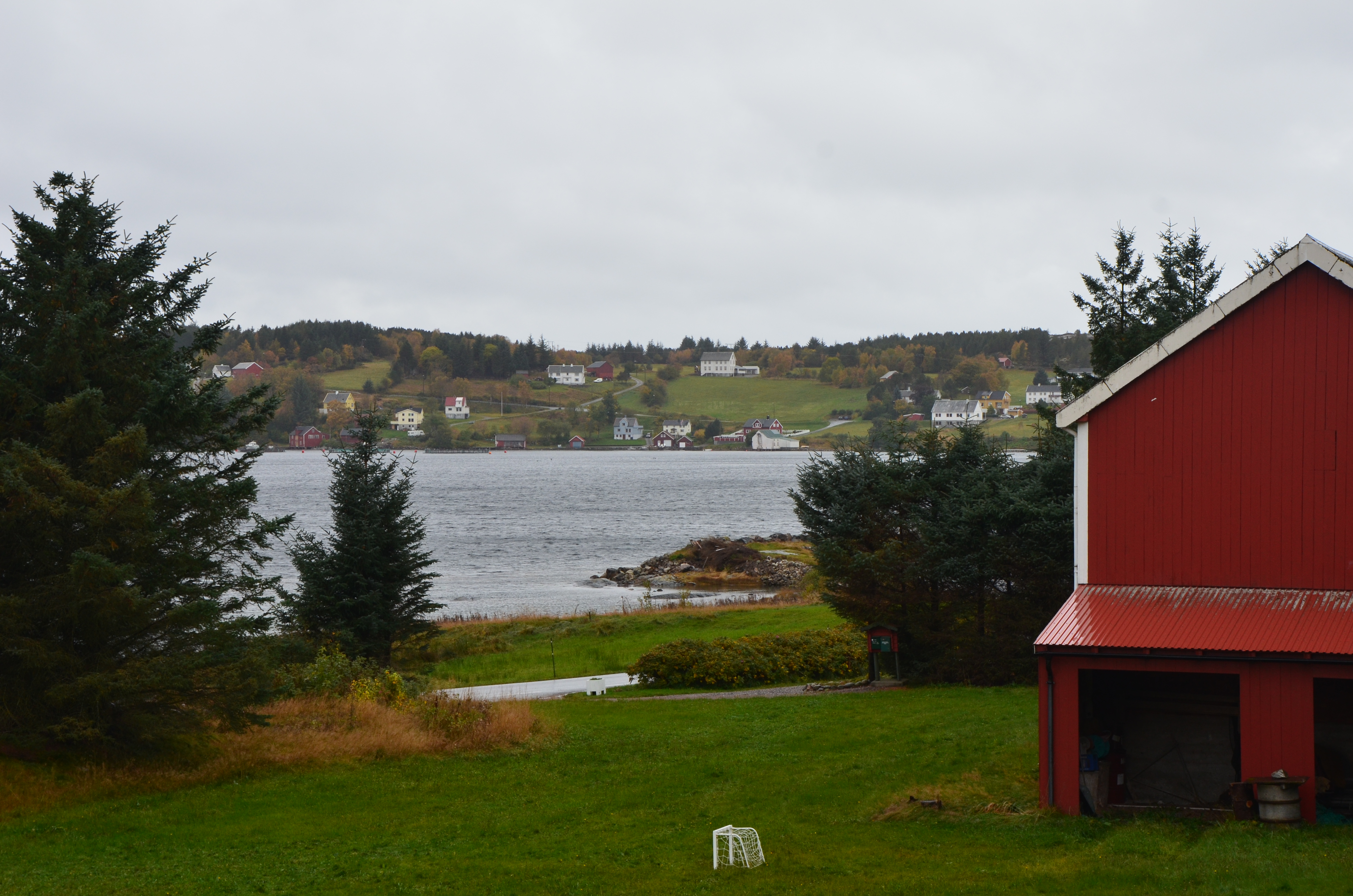
View from the Engvik homestead

Mike-i-20140813-110134.jpg

Vinter 2012-8855
Sunset at Flatøya

Sunndal by night
Norway fall nordmøre
Ved Kanestraumen
IMG_7429_stitchice-Modifier-4-1
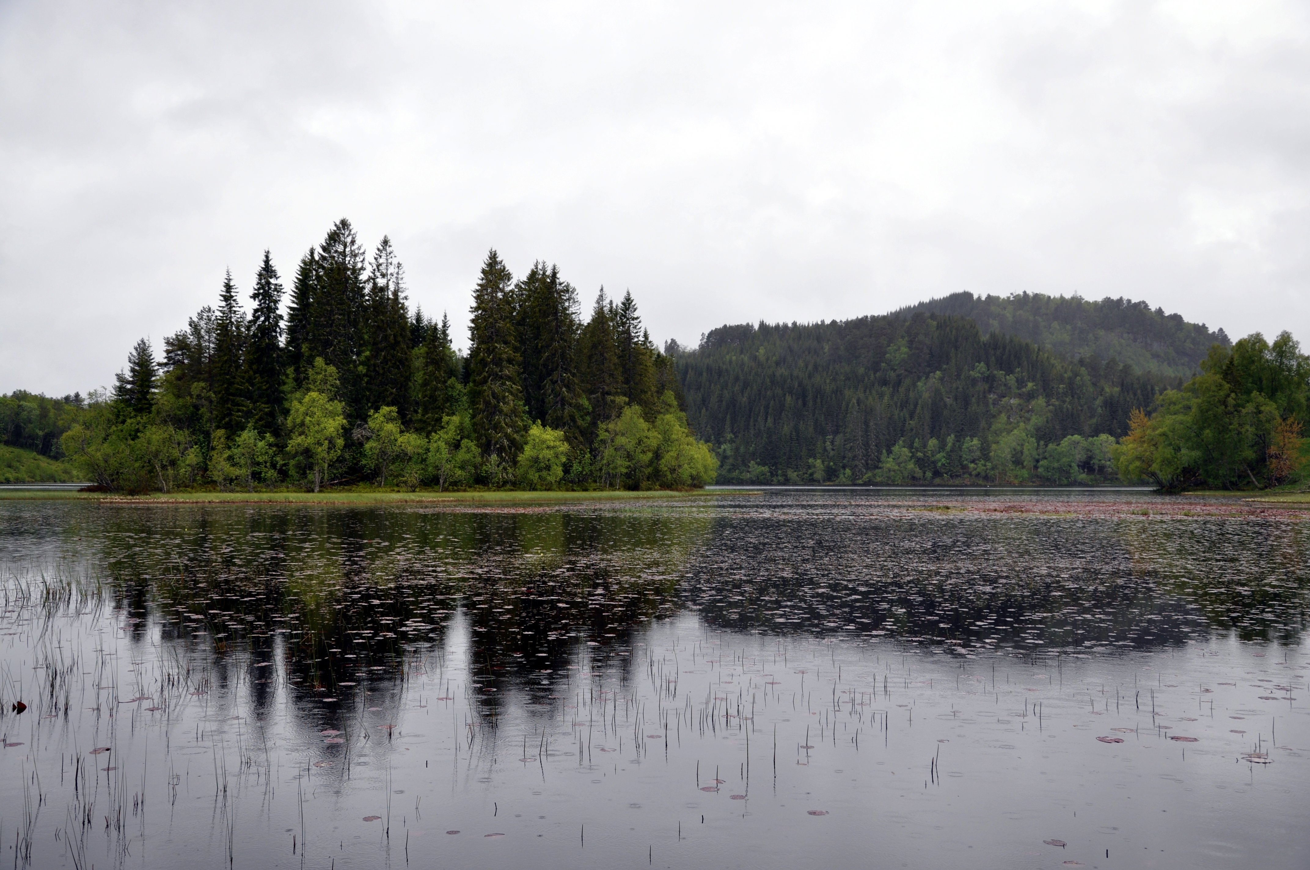
Bolgavatnet på Frei
Topographic Map of E39, Gjemnes, Norway
Find elevation by address:

Places near E39, Gjemnes, Norway:
Gjemnes
Nedre Frei
Kristiansund
Rv64, Averøy, Norway
Møre Og Romsdal
Fv, Averøy, Norway
Nesset
Averøy
Åndalsnes
Fv 10, Halsanaustan, Norway
Rauma
Trollstigen
Stigfossen
Trollstigen Kafe
Romsdalen
E 10, Åndalsnes, Norway
Molde Airport, Årø
Mardalsfossen
Eikesdalen
Molde
Recent Searches:
- Elevation of Pykes Down, Ivybridge PL21 0BY, UK
- Elevation of Jalan Senandin, Lutong, Miri, Sarawak, Malaysia
- Elevation of Bilohirs'k
- Elevation of 30 Oak Lawn Dr, Barkhamsted, CT, USA
- Elevation of Luther Road, Luther Rd, Auburn, CA, USA
- Elevation of Unnamed Road, Respublika Severnaya Osetiya — Alaniya, Russia
- Elevation of Verkhny Fiagdon, North Ossetia–Alania Republic, Russia
- Elevation of F. Viola Hiway, San Rafael, Bulacan, Philippines
- Elevation of Herbage Dr, Gulfport, MS, USA
- Elevation of Lilac Cir, Haldimand, ON N3W 2G9, Canada