Elevation of - E Laramie River Rd, Wheatland, WY, USA
Location: United States > Wyoming > Platte County > Wheatland >
Longitude: -104.91846
Latitude: 42.1340481
Elevation: 1367m / 4485feet
Barometric Pressure: 86KPa
Elevation Map:
Satellite Map:
Related Photos:
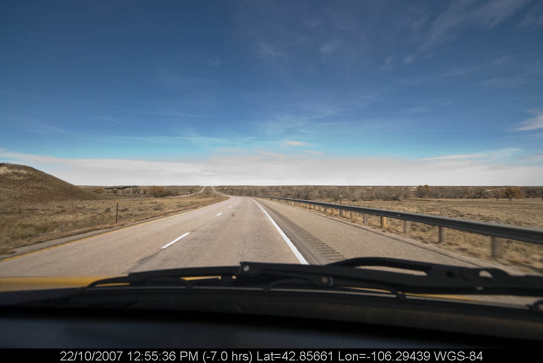
PenskeOne-39.jpg
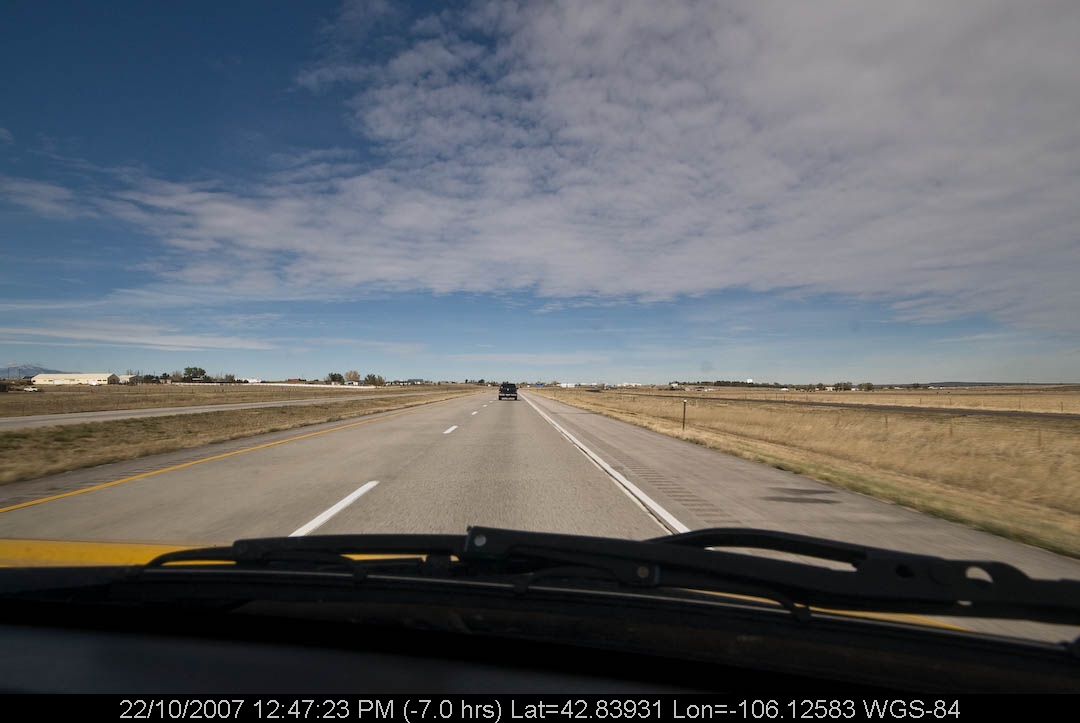
PenskeOne-38.jpg
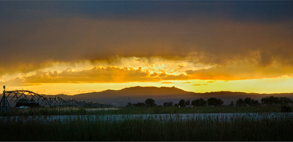
sunset in wyoming
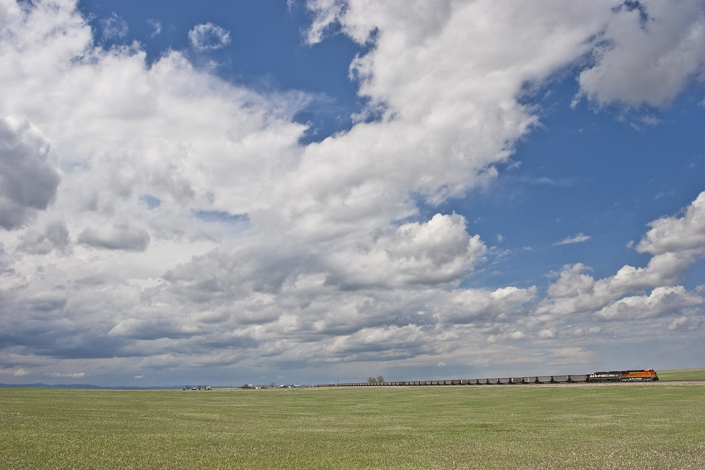
Big sky

BBB stop number 9354

IMG_4884 Dwyer Junction Wyoming

Laramie Peak

Horseshoe Cactus

Frosty Sagebrush

Sunset.
Dwyer Junction, Wyoming IMG_4052
Topographic Map of - E Laramie River Rd, Wheatland, WY, USA
Find elevation by address:

Places near - E Laramie River Rd, Wheatland, WY, USA:
Lakeview North
Chugcreek
Gilchrist St, Wheatland, WY, USA
Wheatland
20 Antelope Dr, Wheatland, South Wagon Circle Rd, USA
Platte County
122 Deer Creek Rd
122 Deer Creek Rd
122 Deer Creek Rd
Bordeaux
2nd St, Chugwater, WY, USA
Chugwater
2938 Power Plant Rd
Goshen County
Lingle
1655 Co Rd 238
WY-, Yoder, WY, USA
Laramie County
Lighthouse Ministries
734 Campbell Dr
Recent Searches:
- Elevation of Corso Fratelli Cairoli, 35, Macerata MC, Italy
- Elevation of Tallevast Rd, Sarasota, FL, USA
- Elevation of 4th St E, Sonoma, CA, USA
- Elevation of Black Hollow Rd, Pennsdale, PA, USA
- Elevation of Oakland Ave, Williamsport, PA, USA
- Elevation of Pedrógão Grande, Portugal
- Elevation of Klee Dr, Martinsburg, WV, USA
- Elevation of Via Roma, Pieranica CR, Italy
- Elevation of Tavkvetili Mountain, Georgia
- Elevation of Hartfords Bluff Cir, Mt Pleasant, SC, USA