Elevation map of Goshen County, WY, USA
Location: United States > Wyoming >
Longitude: -104.37919
Latitude: 42.0334428
Elevation: 1359m / 4459feet
Barometric Pressure: 86KPa
Elevation Map:
Satellite Map:
Related Photos:
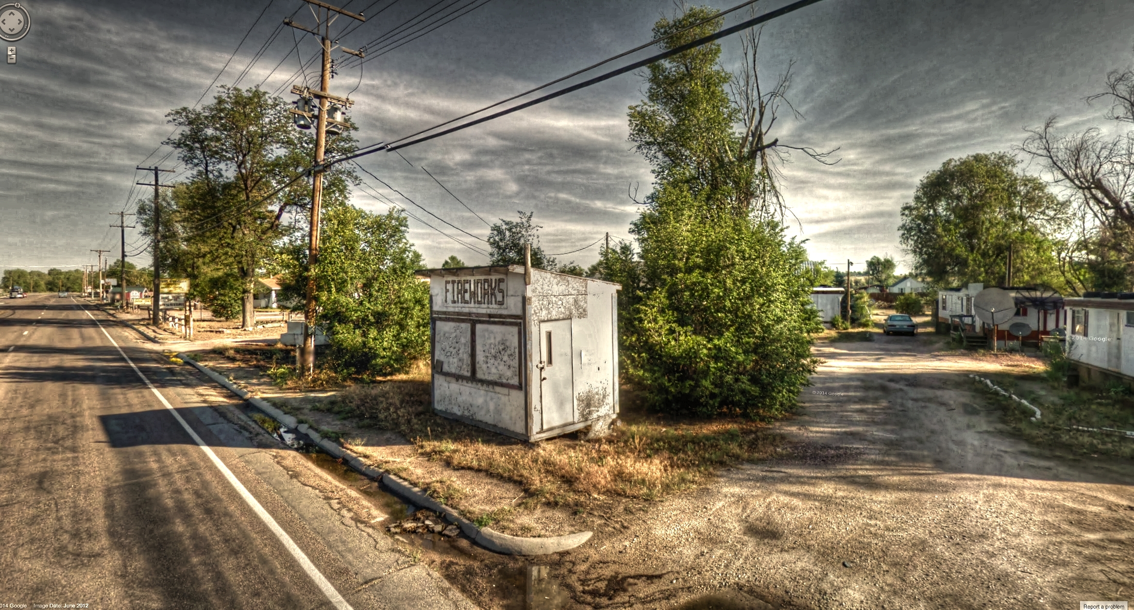
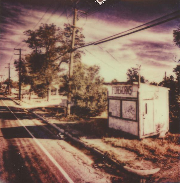
Google Street View - Pan-American Trek - Fireworks shack
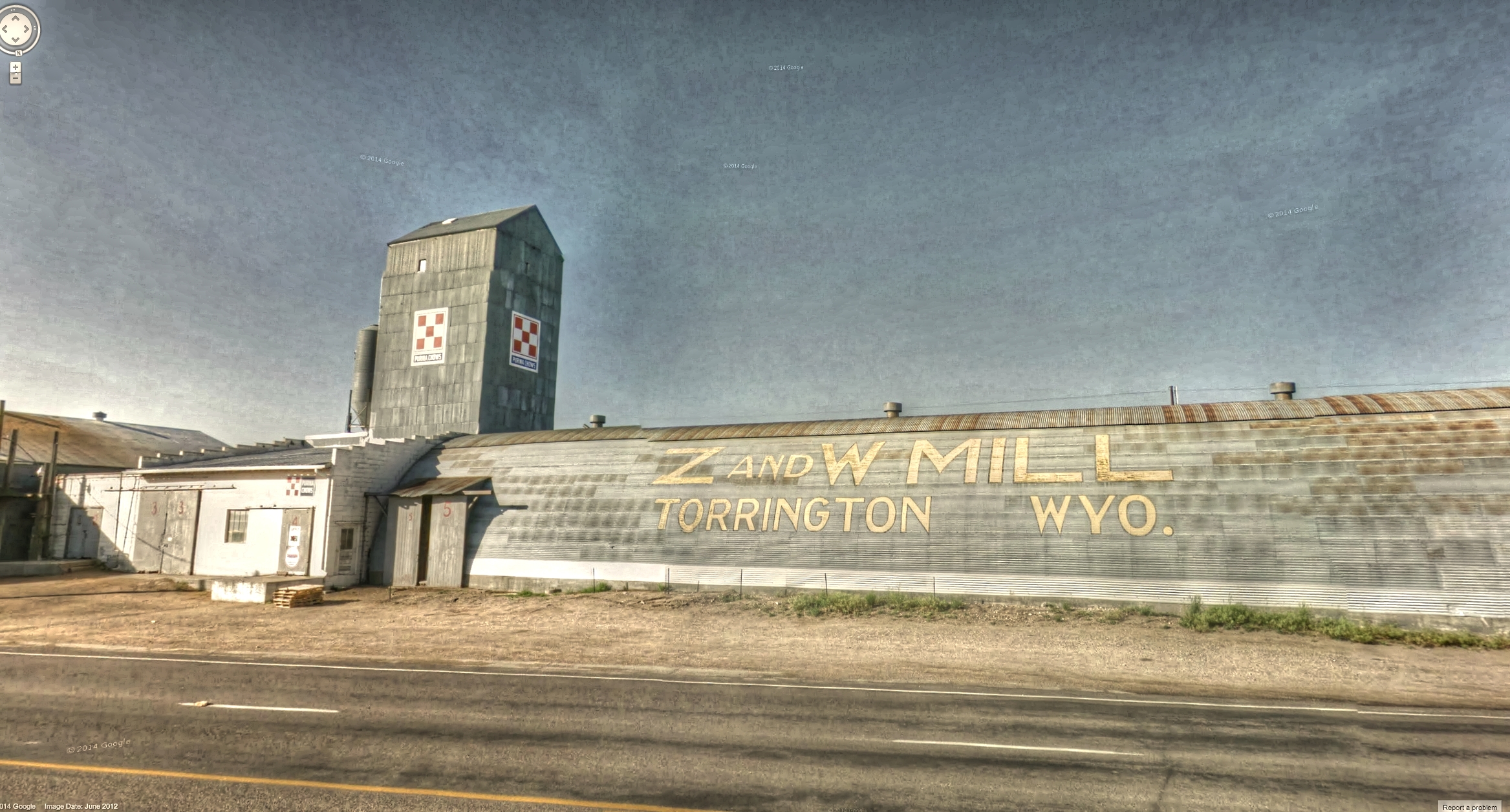
Google Street View - Pan-American Trek - Torrington Z and W Mill

QUANTUM-GLASS_SageGlass_Wyoming-Department-of-Transportation_Torrington-Wyoming_Visual-03_(c)_Kevin-Eilbeck
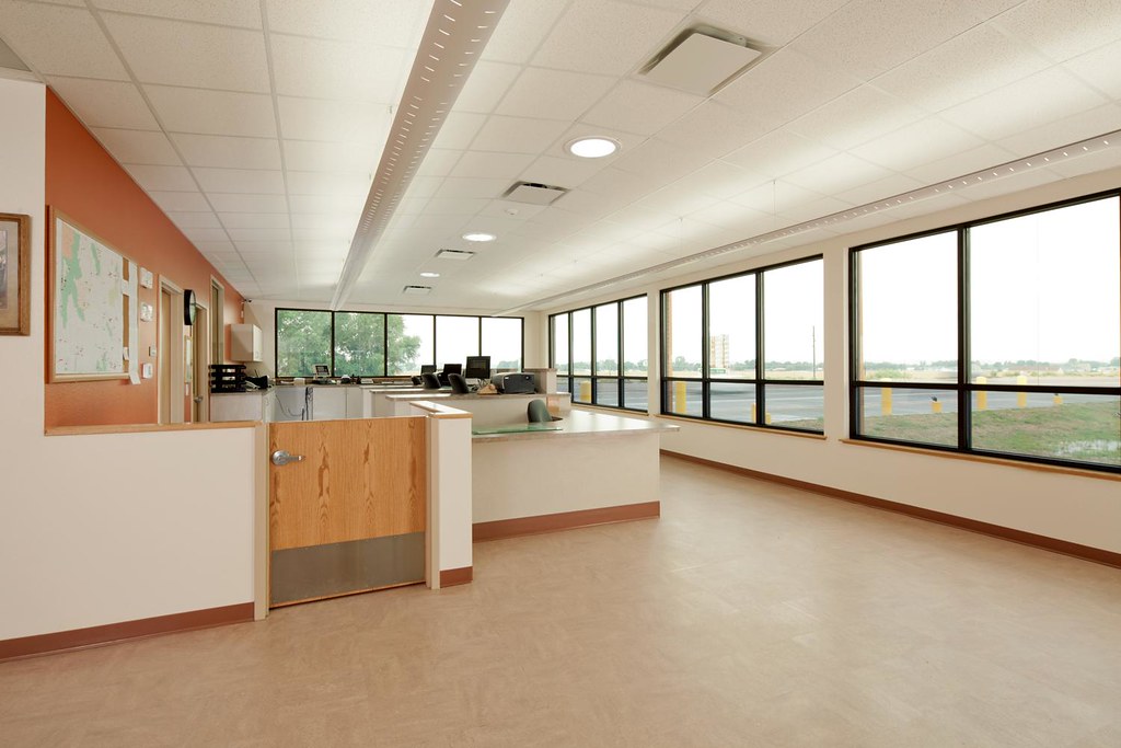
QUANTUM-GLASS_SageGlass_Wyoming-Department-of-Transportation_Torrington-Wyoming_Visual-02_(c)_Kevin-Eilbeck
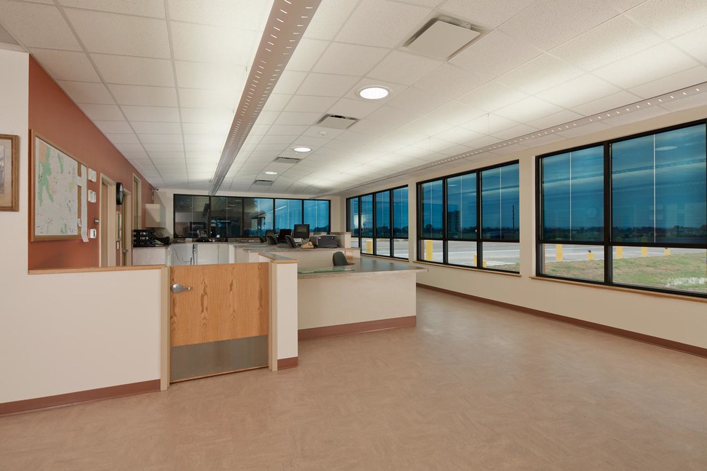
QUANTUM-GLASS_SageGlass_Wyoming-Department-of-Transportation_Torrington-Wyoming_Visual-01_(c)_Kevin-Eilbeck
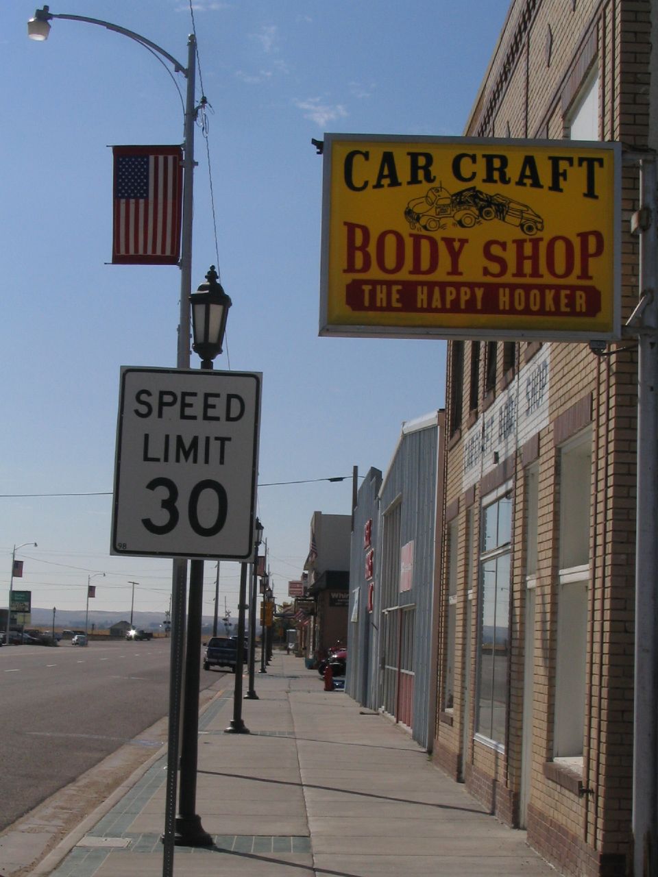
Impossible Trek - Torrington, Wyoming

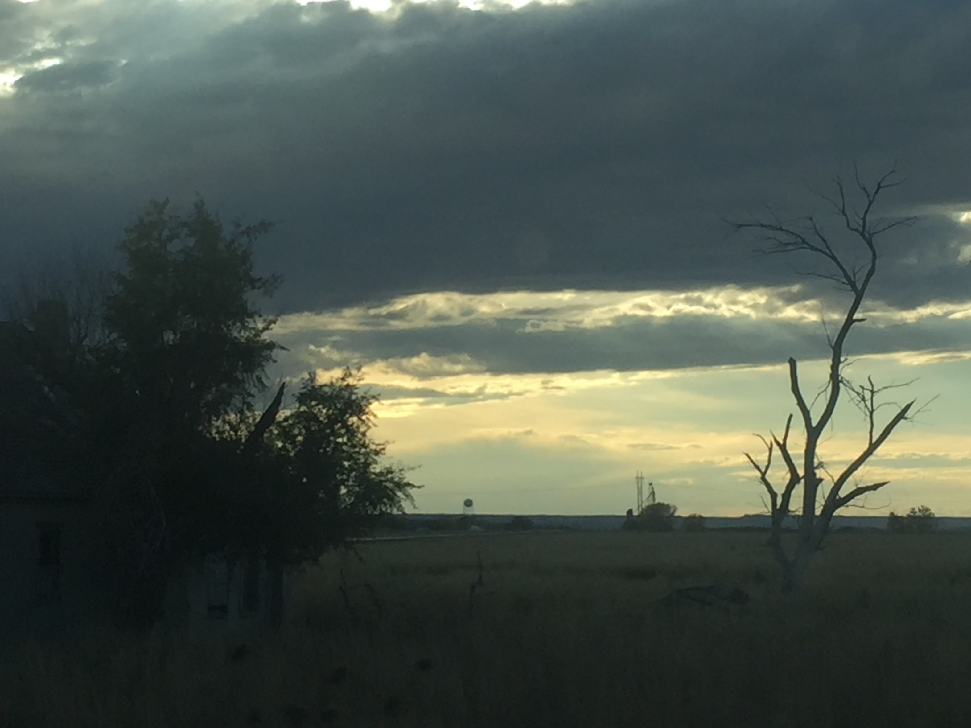
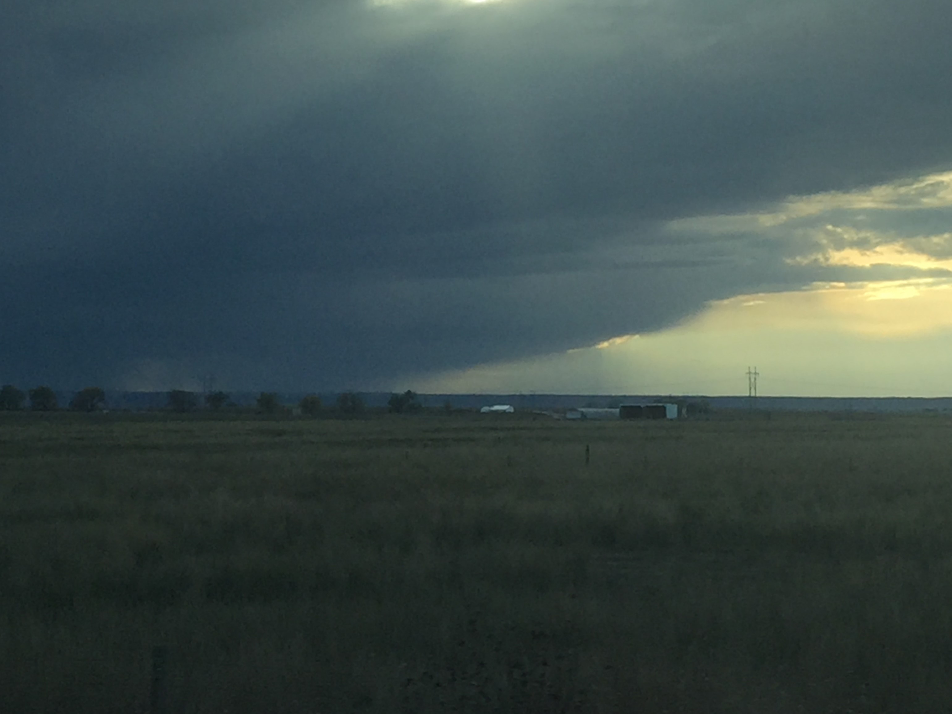
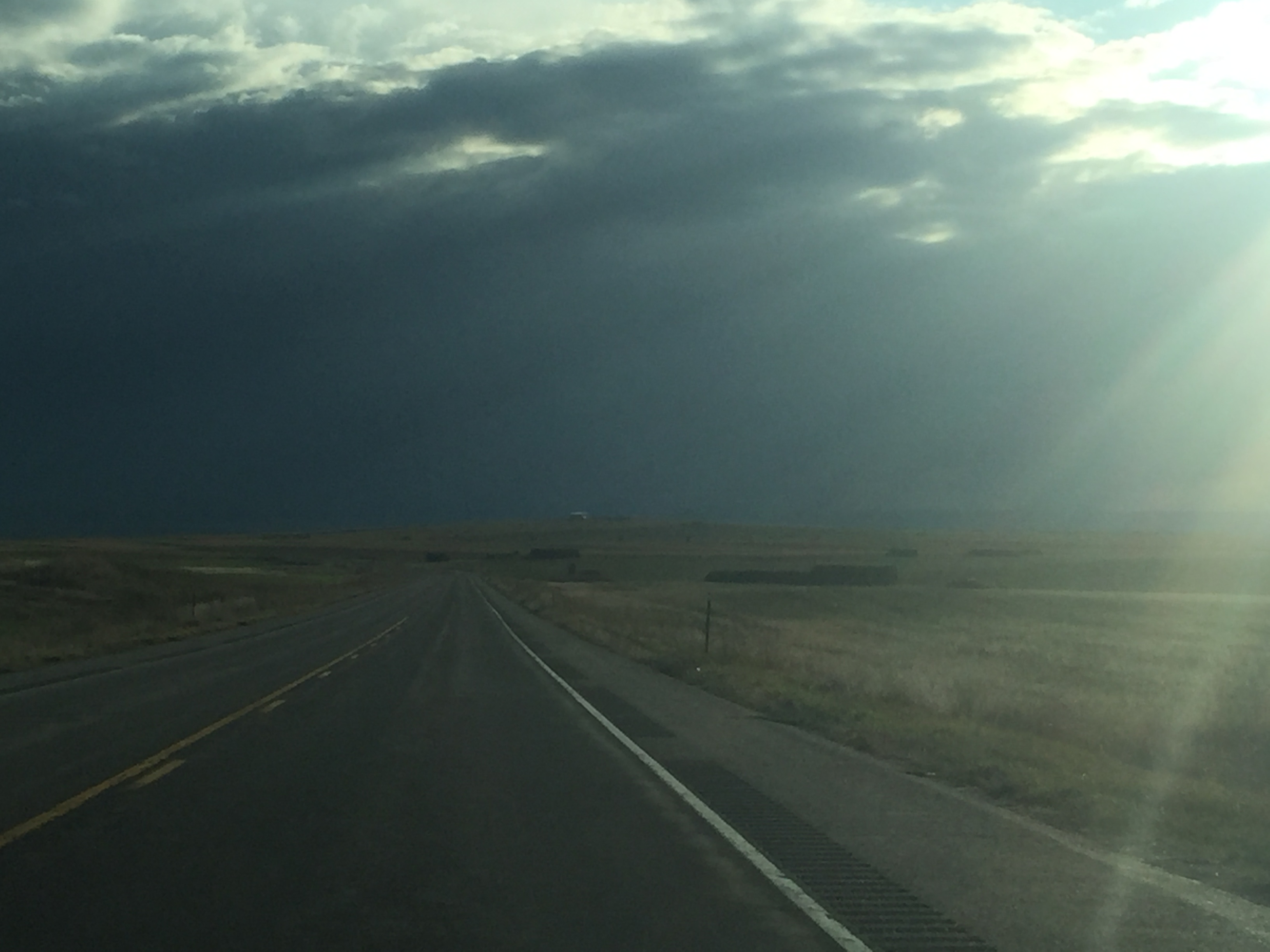
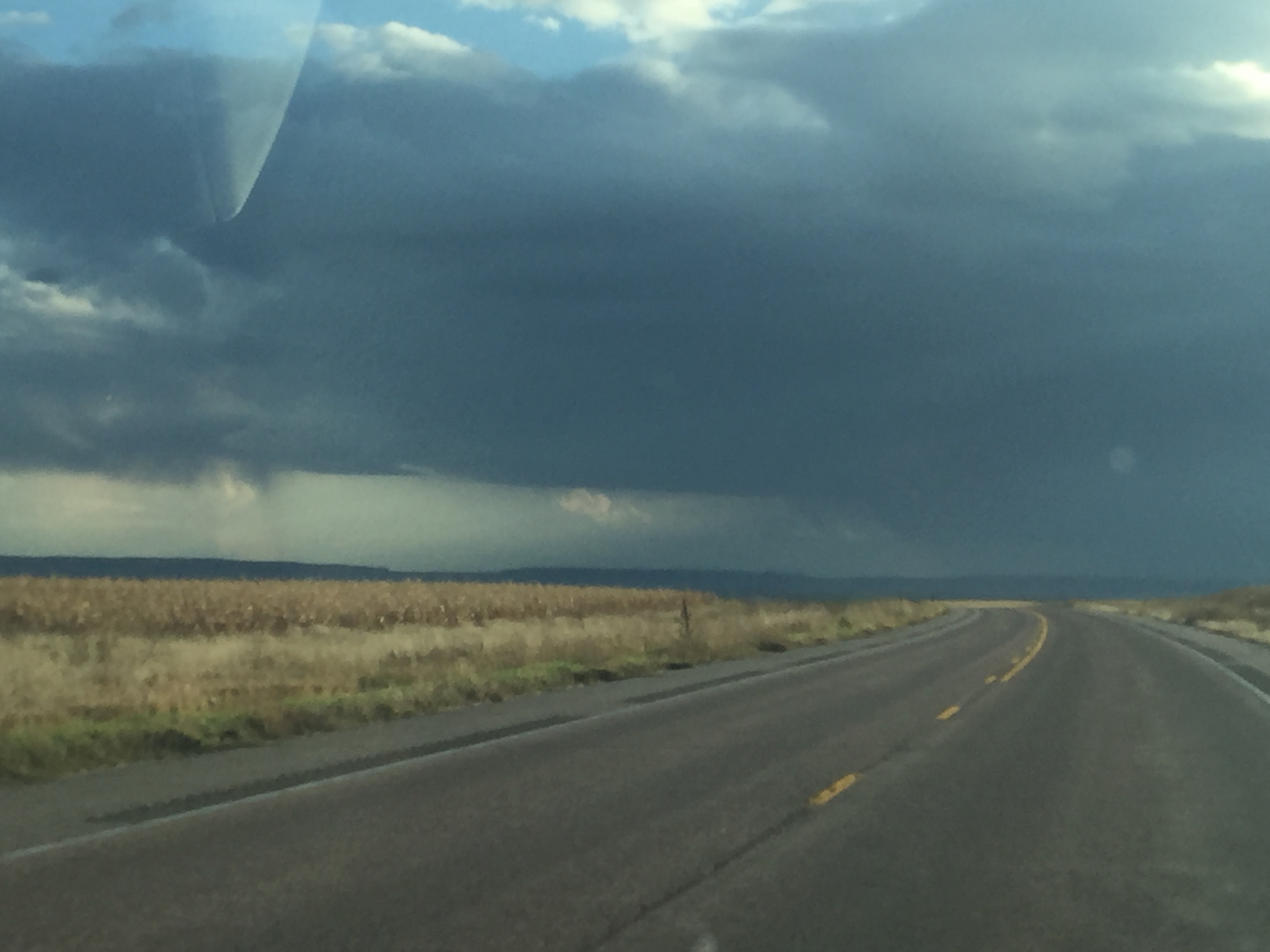
Wyoming Supercell
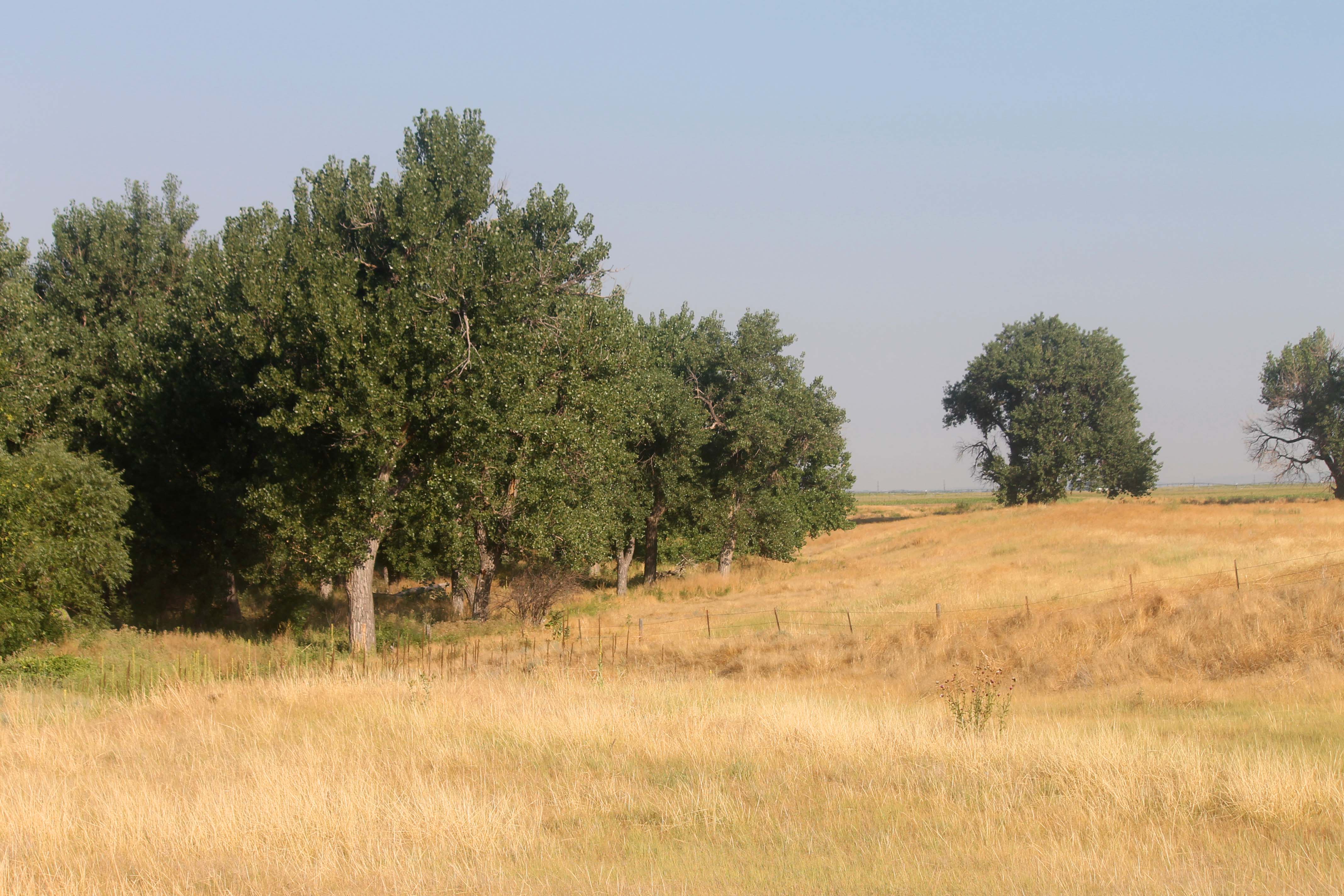
Wyoming Countryside
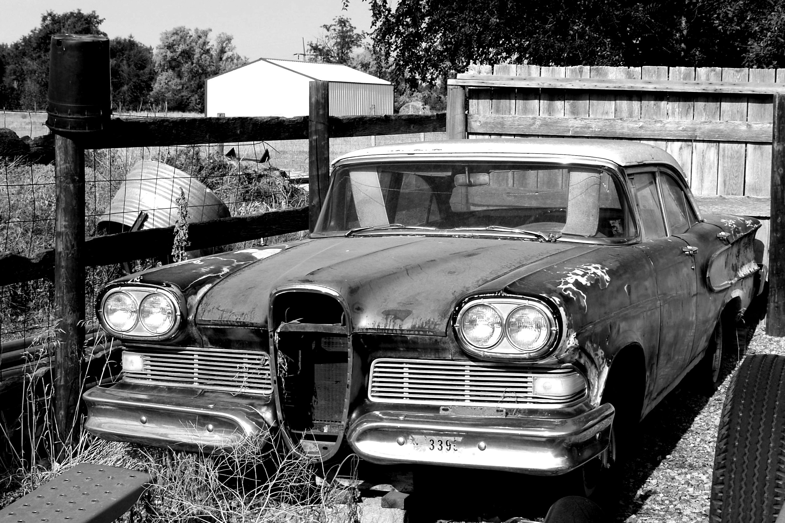
Edsel in BW
Lingle, Wyoming

BNSF Train - Lingle, Wyoming
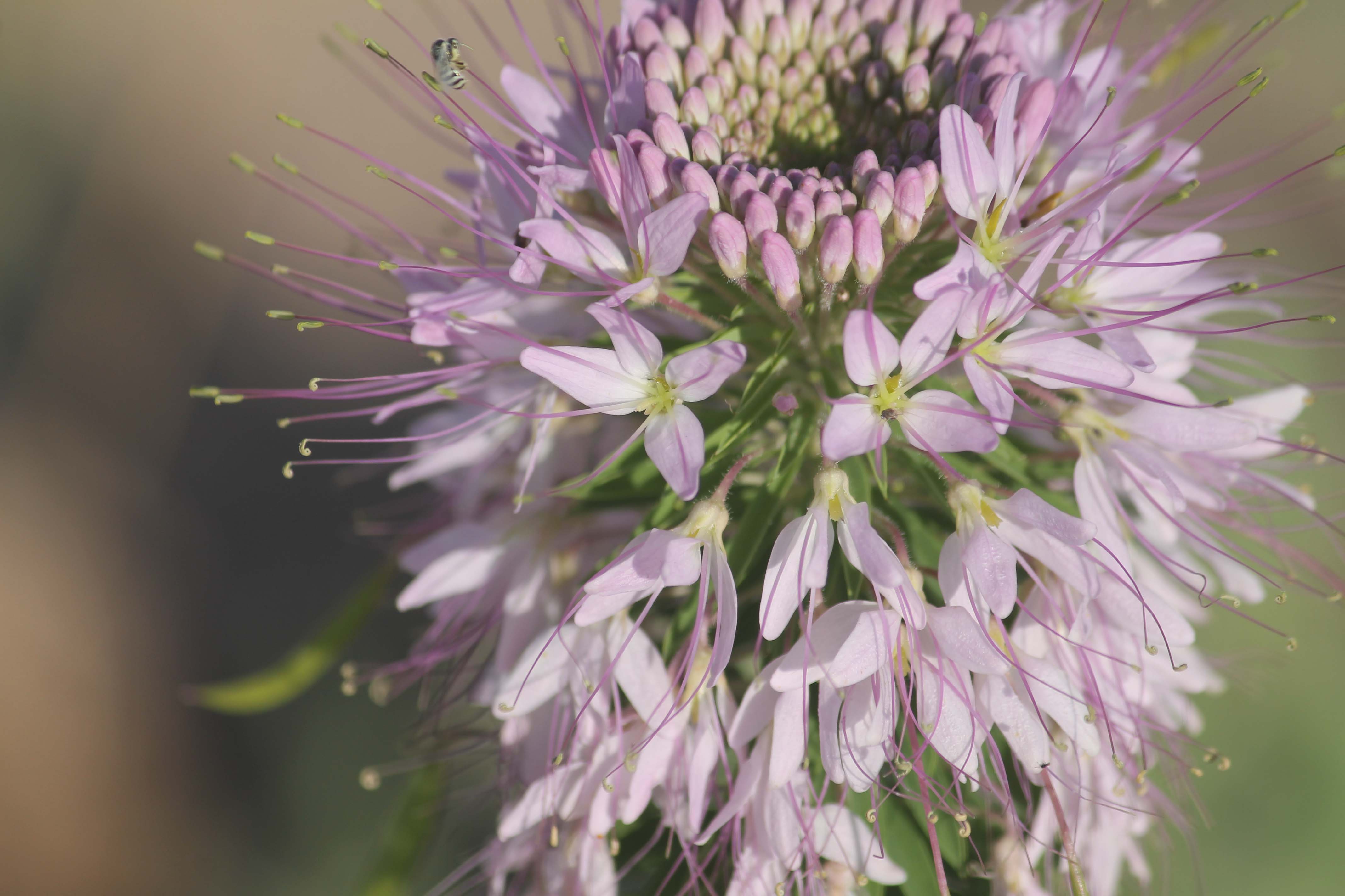
Rocky Mountain Bee Plant
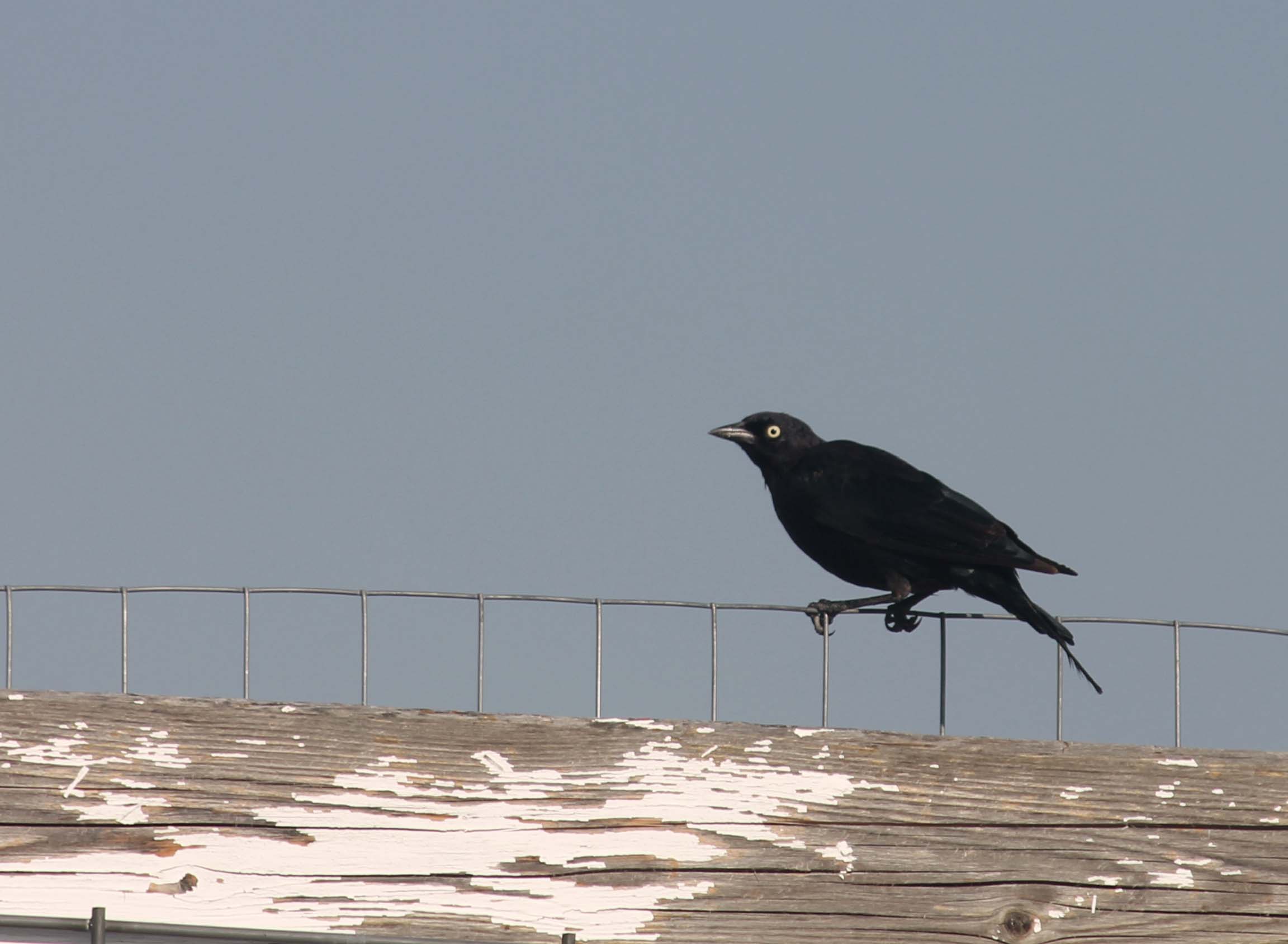
Brewer's Blackbird
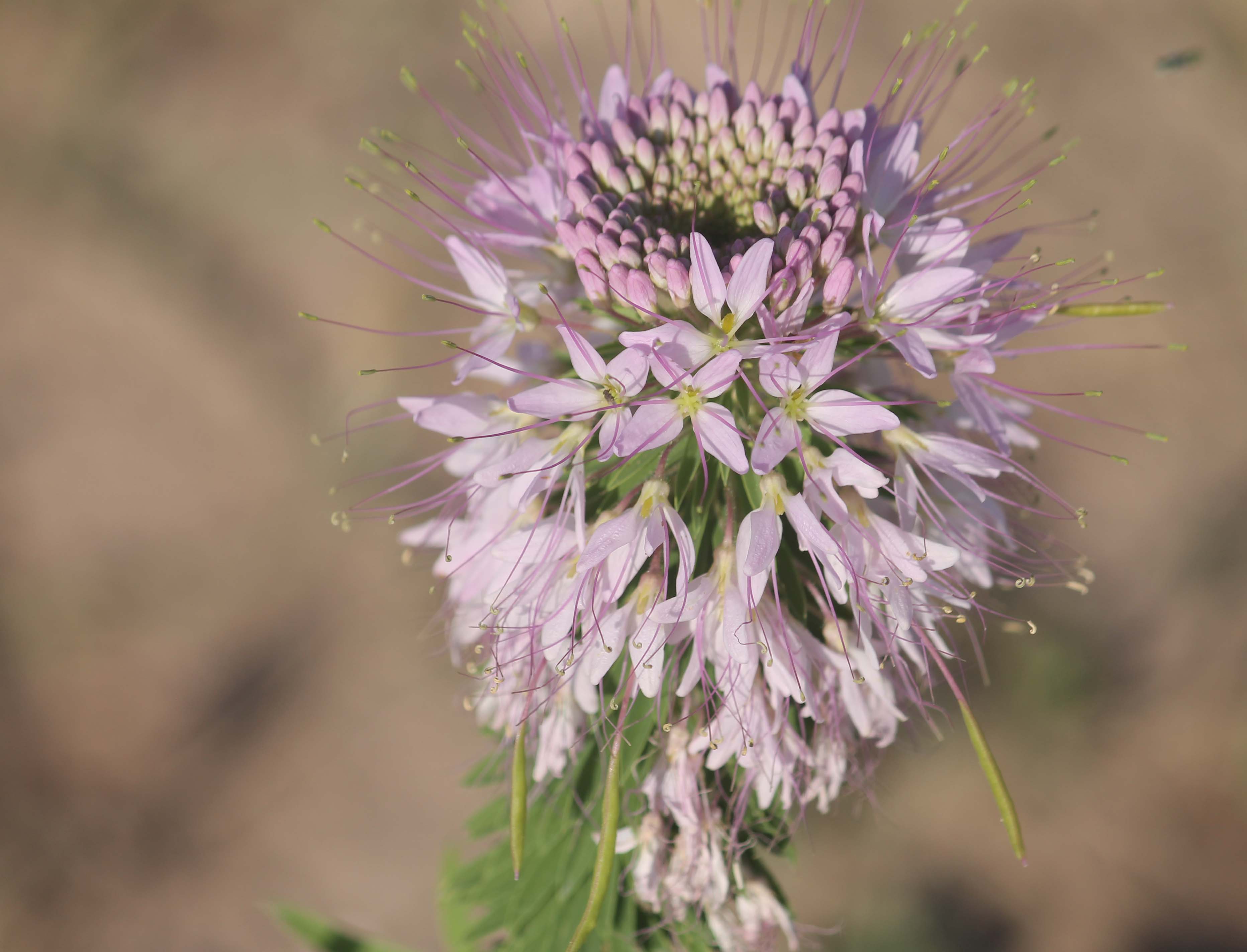
Rocky Mountain Bee Plant
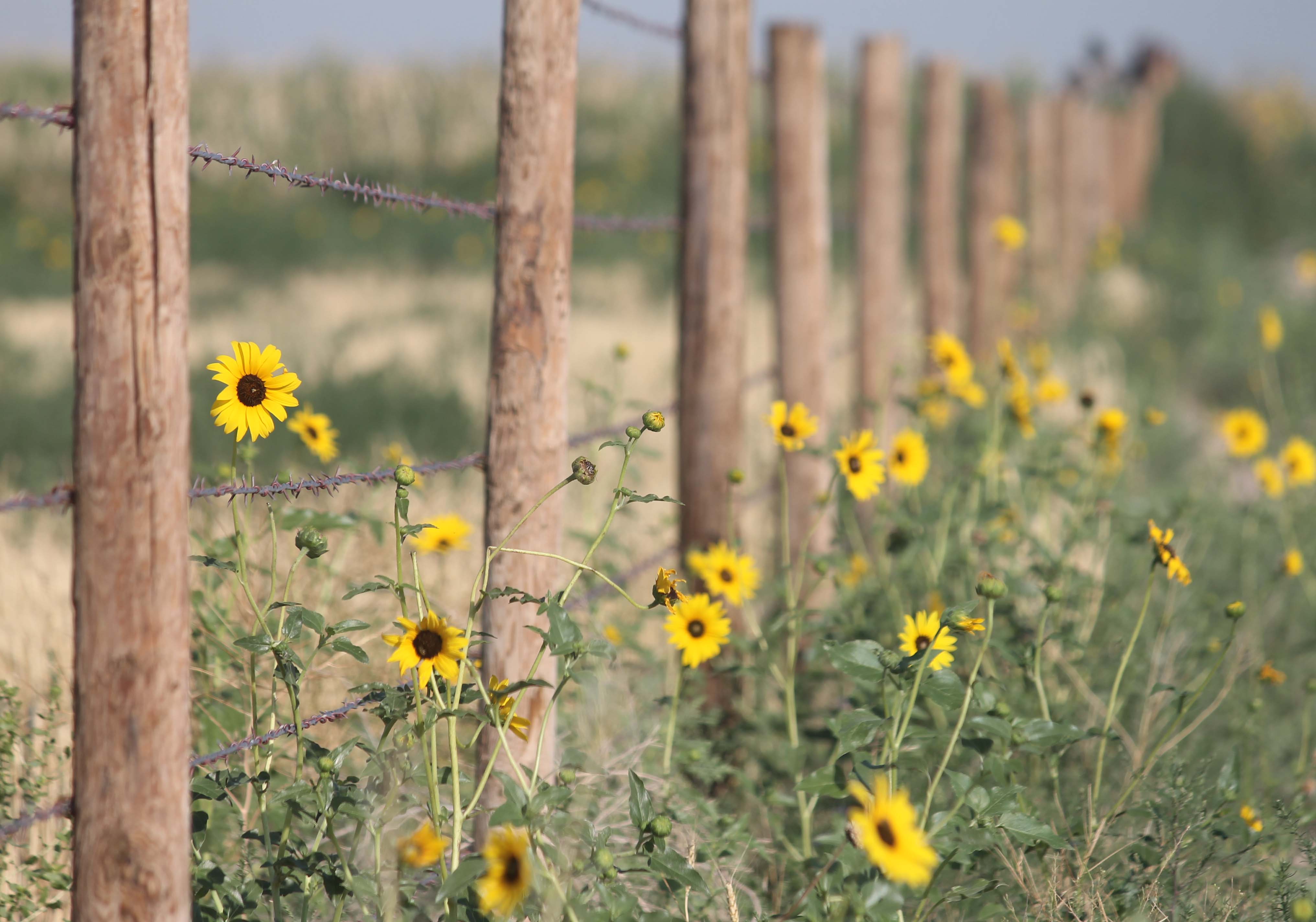
Sunflower Road
2015 10 20 z 96
2015 10 20 z 97
2015 10 20 z 93
2015 10 20 z 94

2015 10 20 z 95

Bandshell Lingle, WY3
Topographic Map of Goshen County, WY, USA
Find elevation by address:

Places in Goshen County, WY, USA:
Places near Goshen County, WY, USA:
2938 Power Plant Rd
Lingle
WY-, Yoder, WY, USA
Lighthouse Ministries
734 Campbell Dr
Eastern Wyoming College
High Plains Apartments
Torrington
United States Postal Service
2210 E B St
1410 E 20th Ave
122 Deer Creek Rd
122 Deer Creek Rd
122 Deer Creek Rd
5th Ave, La Grange, WY, USA
Platte County
Bordeaux
Chugwater
2nd St, Chugwater, WY, USA
Chugcreek
Recent Searches:
- Elevation of Unnamed Road, Respublika Severnaya Osetiya — Alaniya, Russia
- Elevation of Verkhny Fiagdon, North Ossetia–Alania Republic, Russia
- Elevation of F. Viola Hiway, San Rafael, Bulacan, Philippines
- Elevation of Herbage Dr, Gulfport, MS, USA
- Elevation of Lilac Cir, Haldimand, ON N3W 2G9, Canada
- Elevation of Harrod Branch Road, Harrod Branch Rd, Kentucky, USA
- Elevation of Wyndham Grand Barbados Sam Lords Castle All Inclusive Resort, End of Belair Road, Long Bay, Bridgetown Barbados
- Elevation of Iga Trl, Maggie Valley, NC, USA
- Elevation of N Co Rd 31D, Loveland, CO, USA
- Elevation of Lindever Ln, Palmetto, FL, USA