Elevation of -39 Nakagōchō Shimosakurai, Kitaibaraki-shi, Ibaraki-ken -, Japan
Location: Japan > Ibaraki Prefecture > Kitaibaraki >
Longitude: 140.747718
Latitude: 36.7835823
Elevation: 2m / 7feet
Barometric Pressure: 101KPa
Elevation Map:
Satellite Map:
Related Photos:
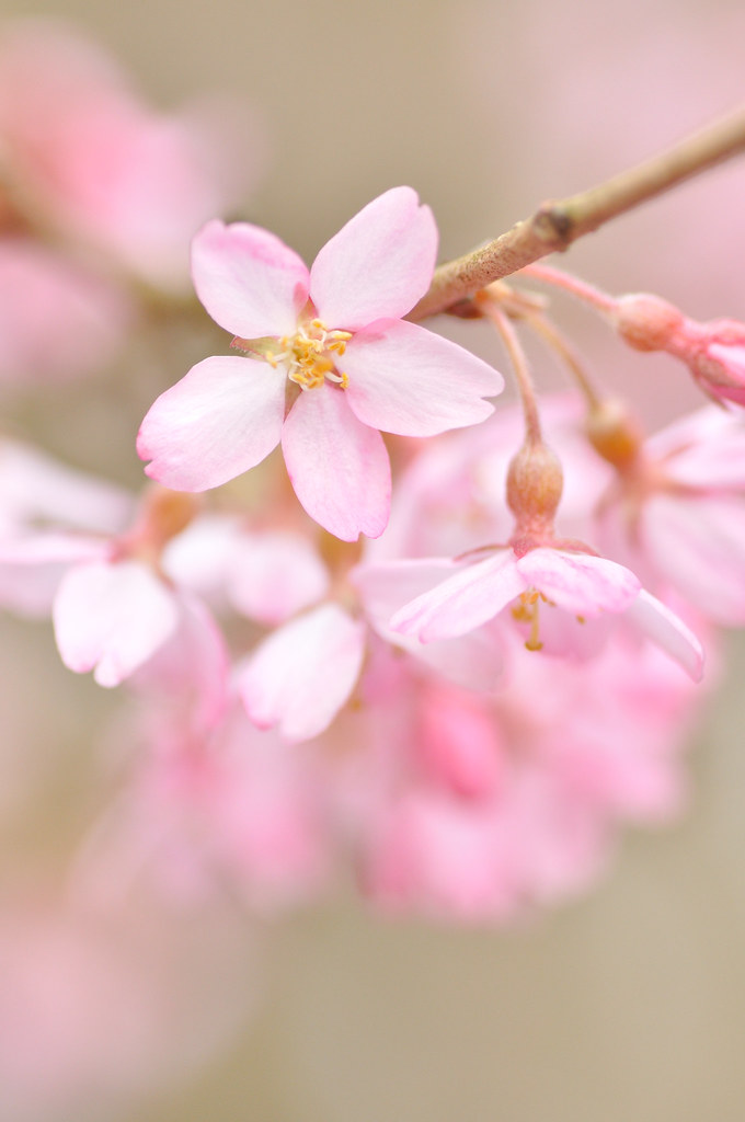
Sakura / Cherry blossom

Country Swagger.
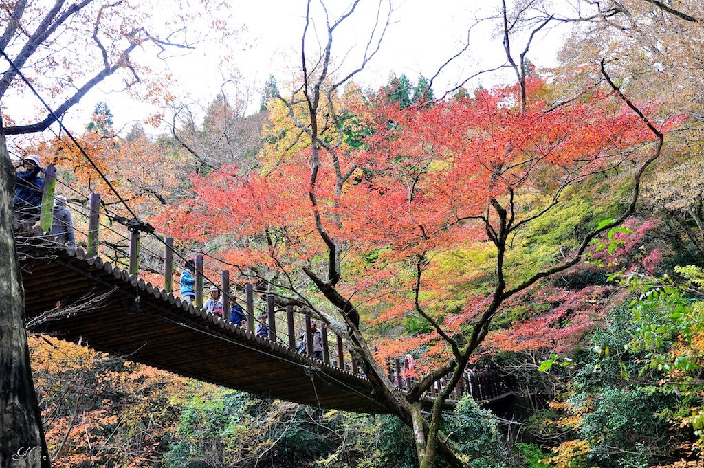
常陸路紅葉_Part1: 花貫渓谷・汐見滝吊橋
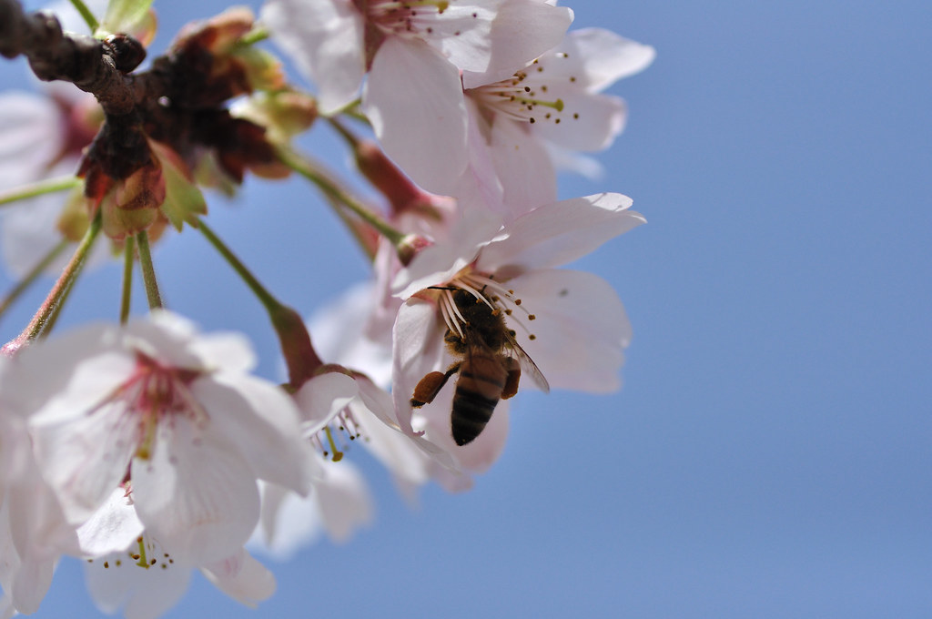
Sakura and honeybee
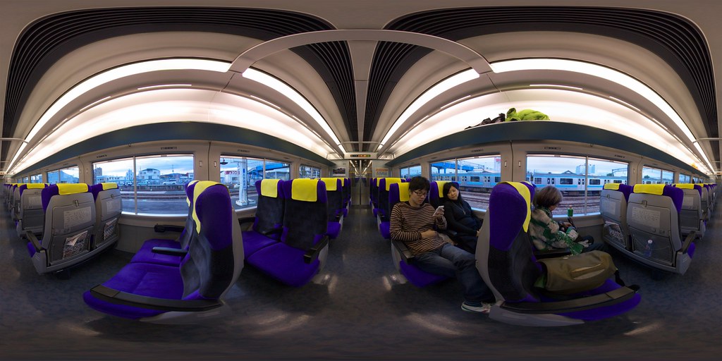
Limited Express Train

Thermal Power Plant view from the mouth of Samegawa river(常磐共同火力勿来発電所)
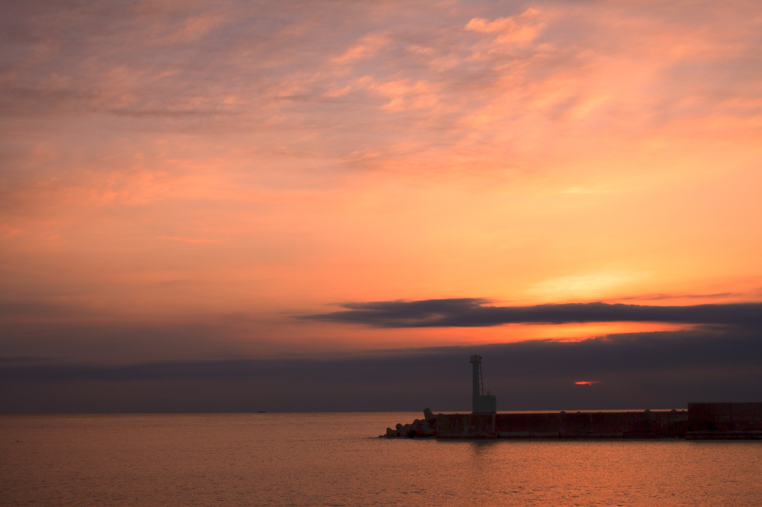
Twilight Dawn

Nakoso IGCC coal power plant

静 silence
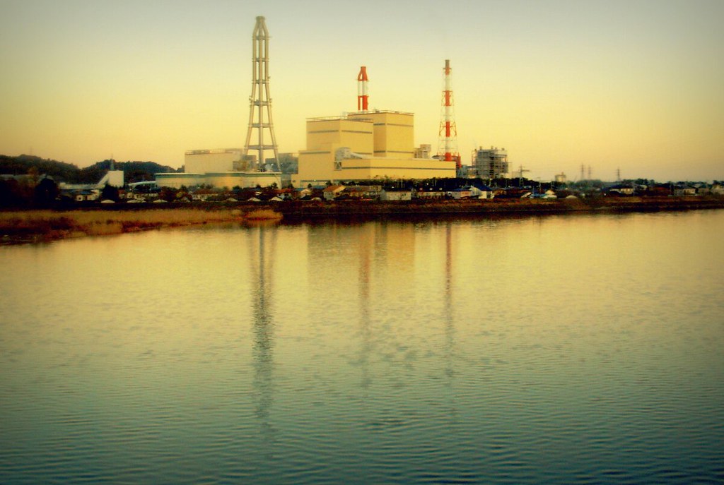
Nakoso IGCC power plant
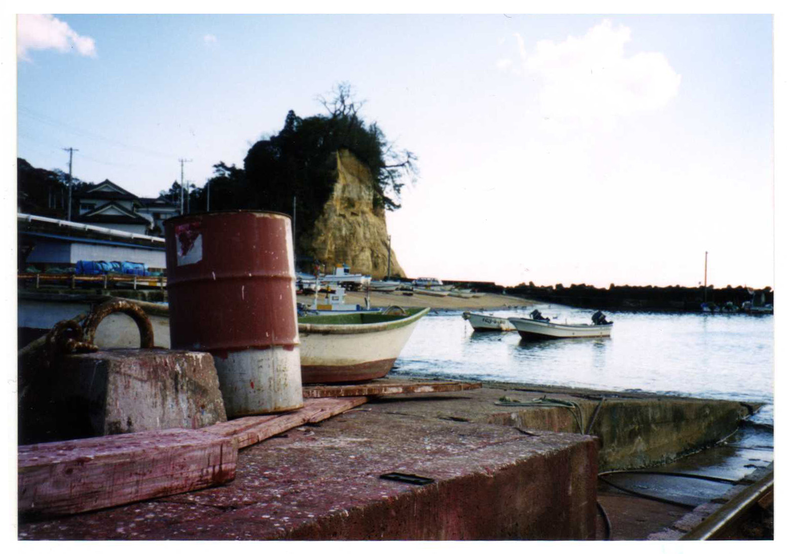
at a quiet port
Tsuki no Hama

Stairs to the Beach

常磐交通勿来支所バス停

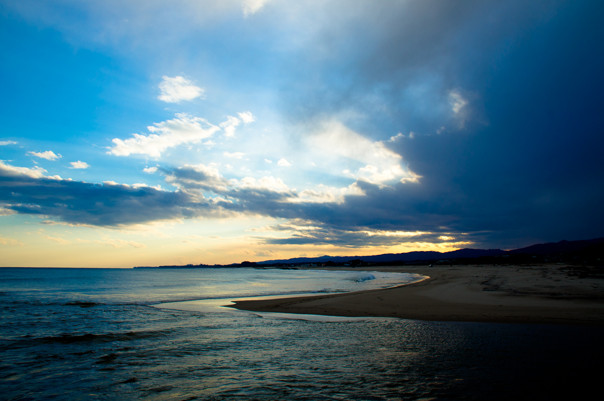
Nakoso Beach - in Fukushima on the way to Iwaki

炭坑町の娯楽施設 The recreational facilities of coal miner's town
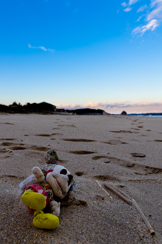
Beached Mickey
IMGP9094_5_6.hdr

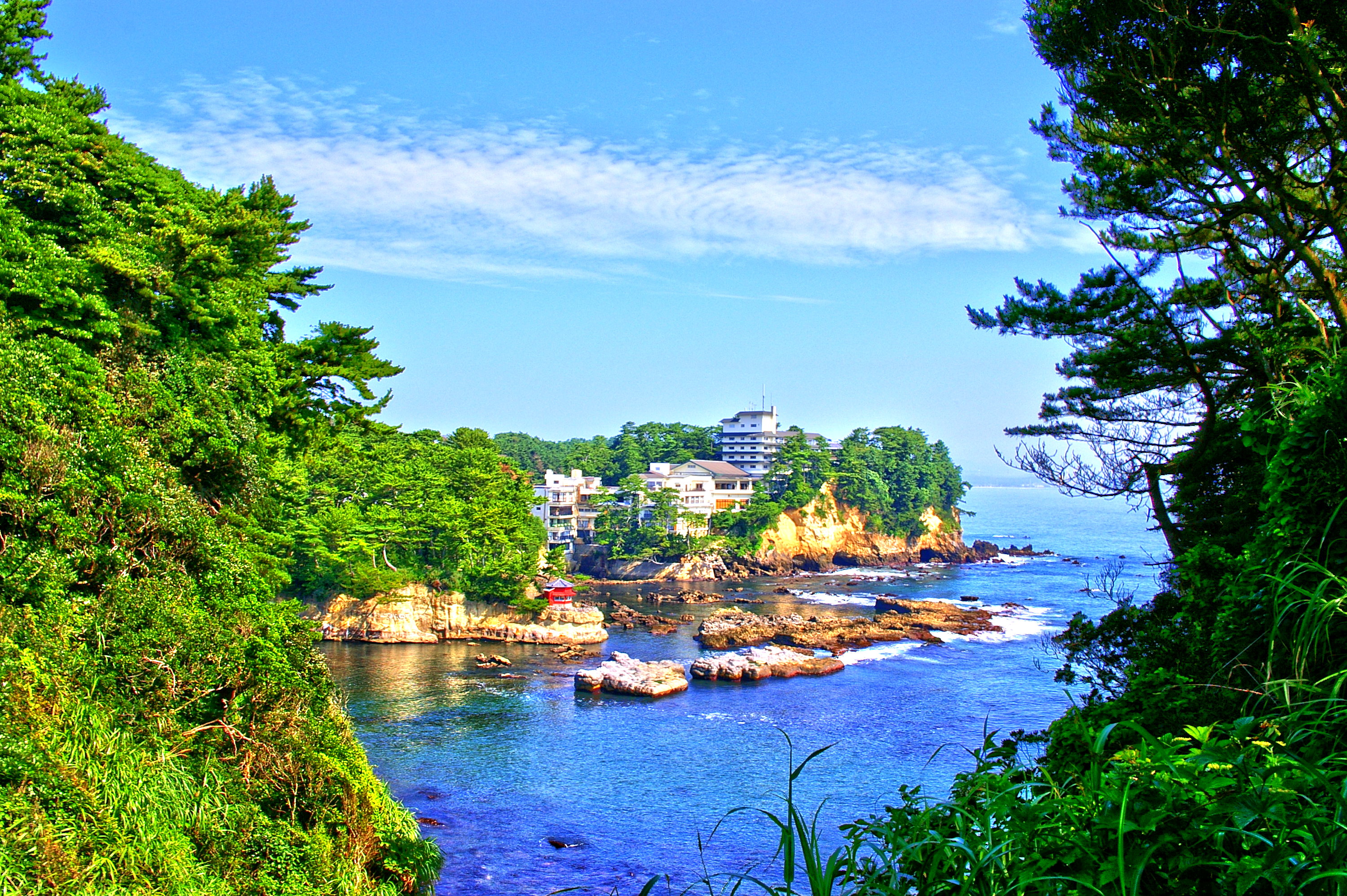
五浦に来ております。うーん。もの悲しい…。

The end of summer
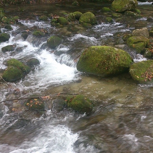
下からは川のせせらぎ #autumn #fall #river #water
Topographic Map of -39 Nakagōchō Shimosakurai, Kitaibaraki-shi, Ibaraki-ken -, Japan
Find elevation by address:

Places near -39 Nakagōchō Shimosakurai, Kitaibaraki-shi, Ibaraki-ken -, Japan:
Kitaibaraki
Sekinamichō Kamiokashimo, Kitaibaraki-shi, Ibaraki-ken -, Japan
Kamitetsuna, Takahagi-shi, Ibaraki-ken -, Japan
Takahagi
Kubotamachidōri 2-chōme-40 Nakosomachi, Iwaki-shi, Fukushima-ken -, Japan
Sakashita-28 Yamadamamachi, Iwaki-shi, Fukushima-ken -, Japan
Ōkubo-5 Misawamachi, Iwaki-shi, Fukushima-ken -, Japan
Kamata-8 Nishikimachi, Iwaki-shi, Fukushima-ken -, Japan
1 Chome-3-9 Nishikimachichūō, Iwaki-shi, Fukushima-ken -, Japan
Dōchūshi- Numabemachi, Iwaki-shi, Fukushima-ken -, Japan
Kasaenoki-16 Yamadamachi, Iwaki-shi, Fukushima-ken -, Japan
Yokomachi-91-10 Uedamachi, Iwaki-shi, Fukushima-ken -, Japan
1 Chome-11-6 Minamidai, Iwaki-shi, Fukushima-ken -, Japan
Shinzan-28 Azumadamachi, Iwaki-shi, Fukushima-ken -, Japan
Iwashita-68 Takakuramachi, Iwaki-shi, Fukushima-ken -, Japan
Furubō-18 Soenomachi, Iwaki-shi, Fukushima-ken -, Japan
Nameishi-64 Tabitomachi Tabiuto, Iwaki-shi, Fukushima-ken -, Japan
Angyō- Yamadamachi, Iwaki-shi, Fukushima-ken -, Japan
Waseda-80- Izumimachikurosuno, Iwaki-shi, Fukushima-ken -, Japan
Takouchi-55 Ebatamachi, Iwaki-shi, Fukushima-ken -, Japan
Recent Searches:
- Elevation of Congressional Dr, Stevensville, MD, USA
- Elevation of Bellview Rd, McLean, VA, USA
- Elevation of Stage Island Rd, Chatham, MA, USA
- Elevation of Shibuya Scramble Crossing, 21 Udagawacho, Shibuya City, Tokyo -, Japan
- Elevation of Jadagoniai, Kaunas District Municipality, Lithuania
- Elevation of Pagonija rock, Kranto 7-oji g. 8"N, Kaunas, Lithuania
- Elevation of Co Rd 87, Jamestown, CO, USA
- Elevation of Tenjo, Cundinamarca, Colombia
- Elevation of Côte-des-Neiges, Montreal, QC H4A 3J6, Canada
- Elevation of Bobcat Dr, Helena, MT, USA