Elevation of Kitaibaraki, Ibaraki Prefecture, Japan
Location: Japan > Ibaraki Prefecture >
Longitude: 140.750979
Latitude: 36.8019113
Elevation: 70m / 230feet
Barometric Pressure: 100KPa
Elevation Map:
Satellite Map:
Related Photos:

Sakura / Cherry blossom

Country Swagger.
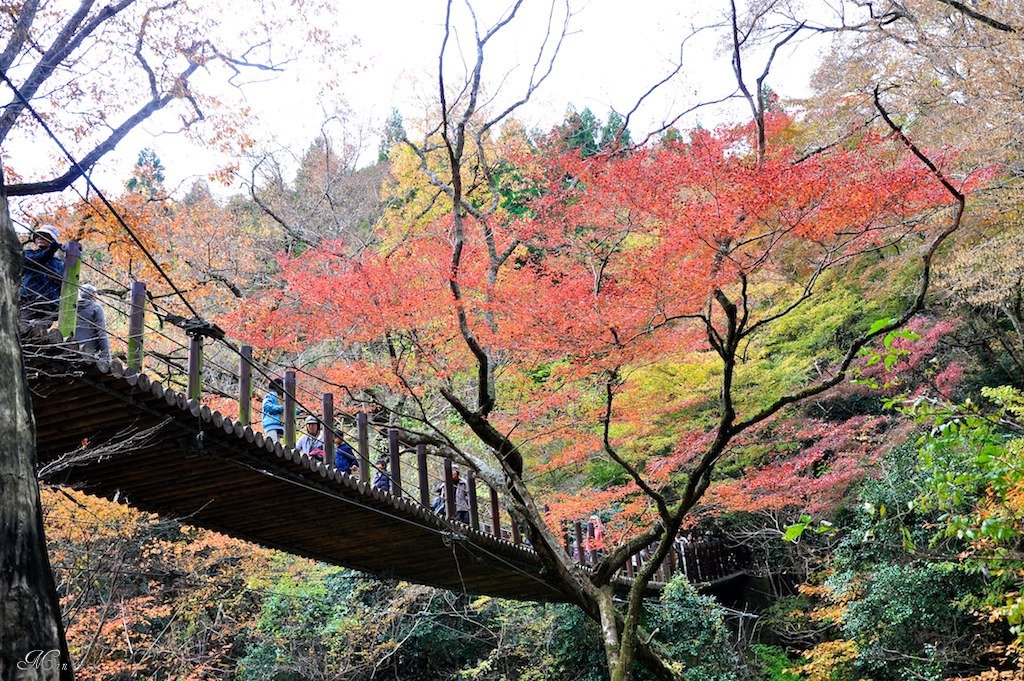
常陸路紅葉_Part1: 花貫渓谷・汐見滝吊橋
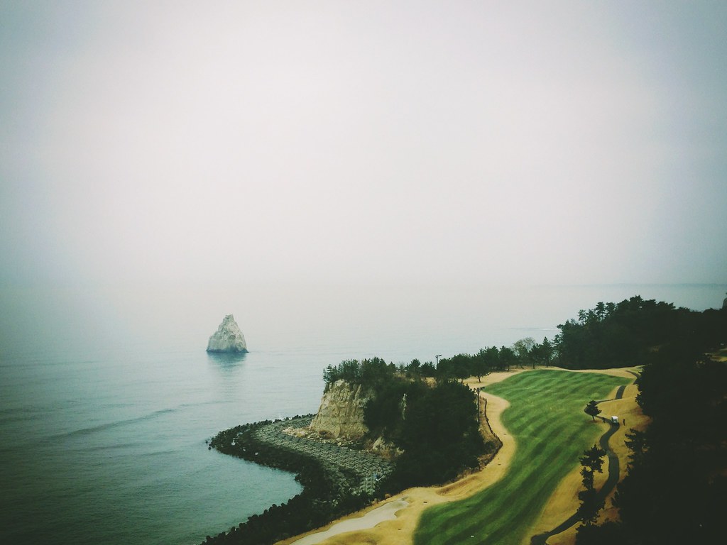
Last view of a foggy Pacific Ocean
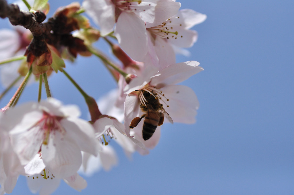
Sakura and honeybee

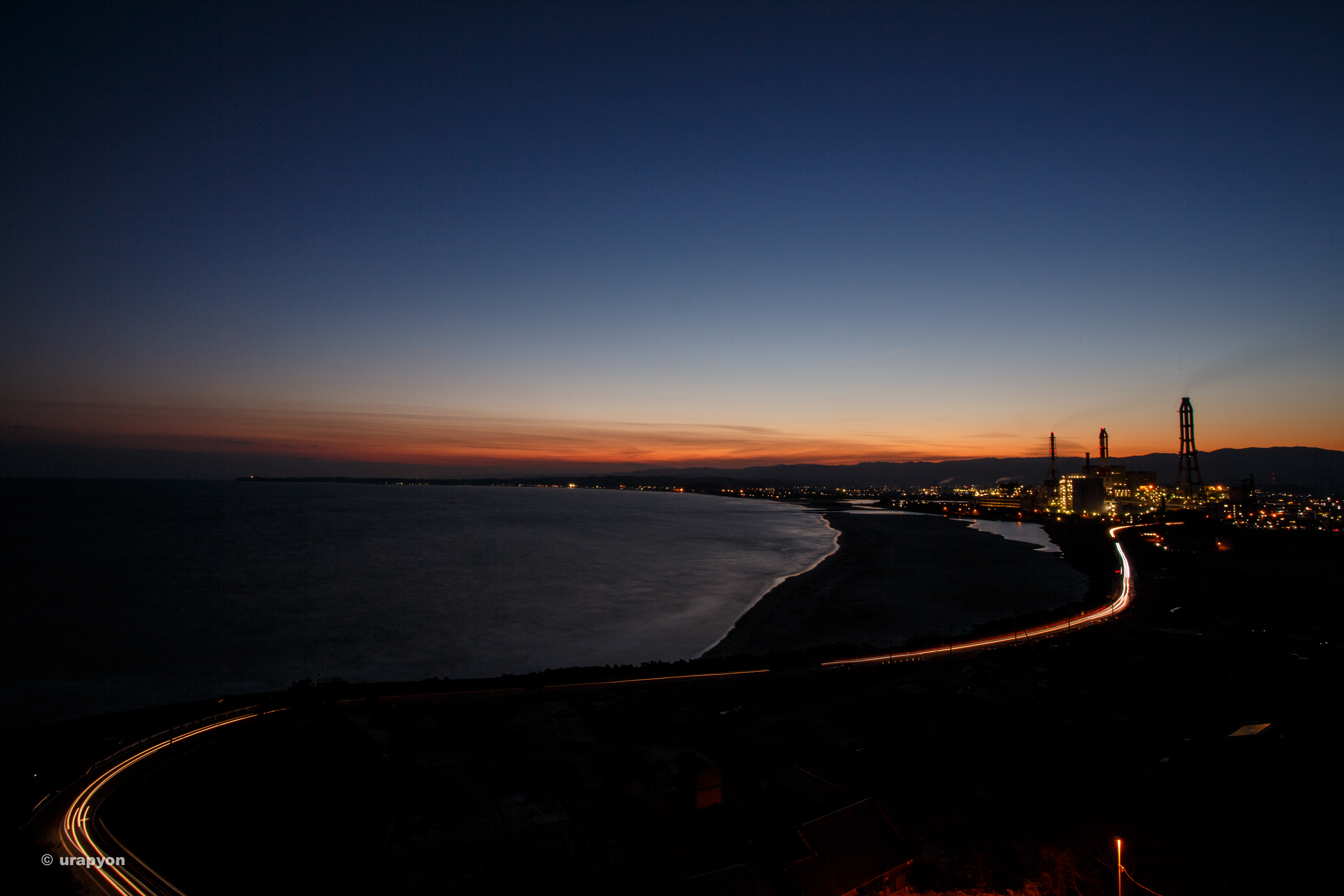
Thermal Power Plant view from the mouth of Samegawa river(常磐共同火力勿来発電所)
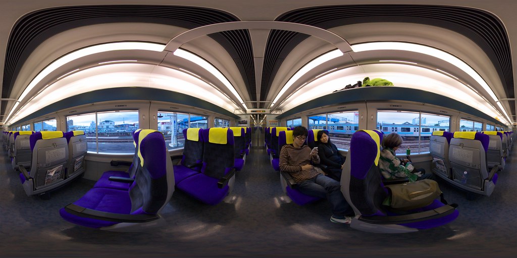
Limited Express Train
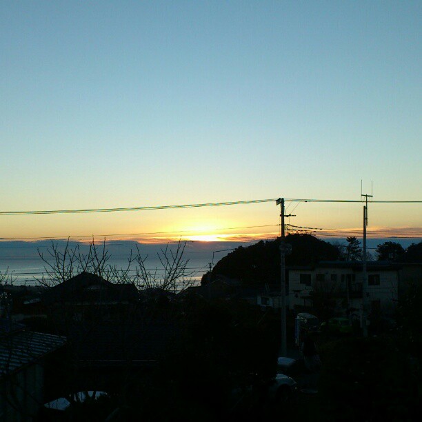
View from my balcony
View of "dadaHat" - Sunday, 31 July 2016 - 15:17 GMT+0900
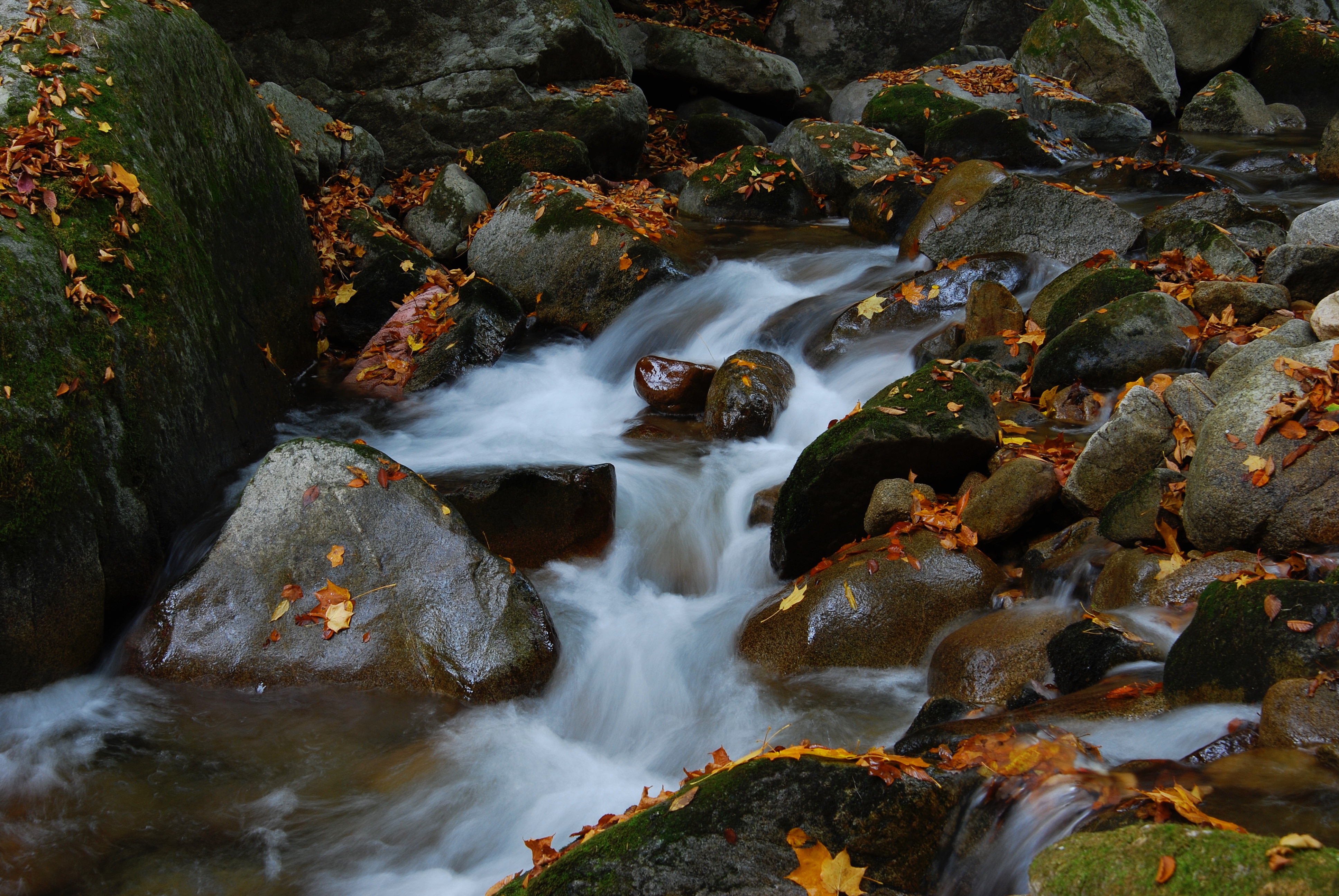
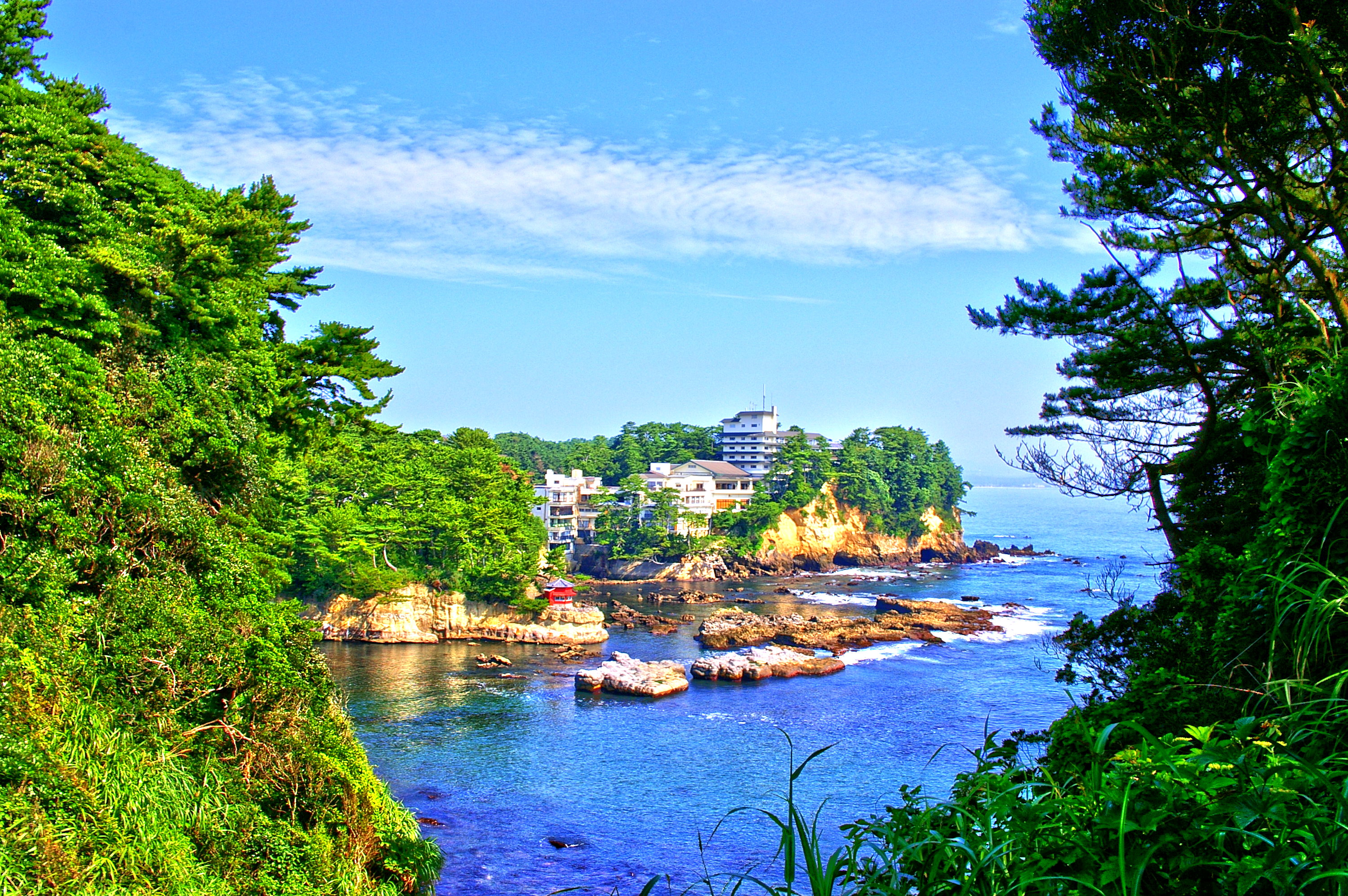
Hananuki Keikoku
Iwama-Beach Iwaki Fukushima 岩間海岸
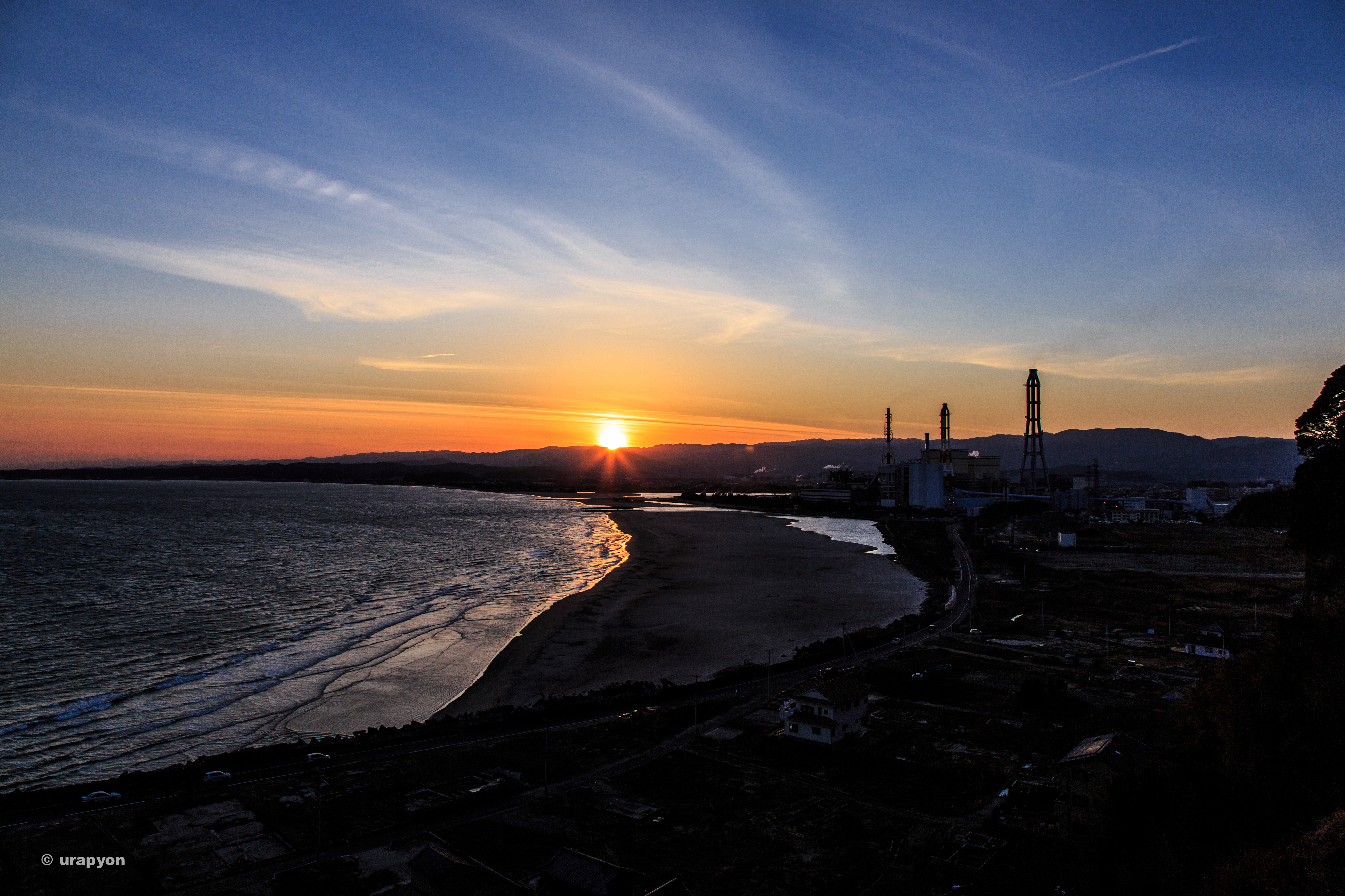
Iwaki-Iwama 小浜から岩間海岸と勿来発電所を臨む
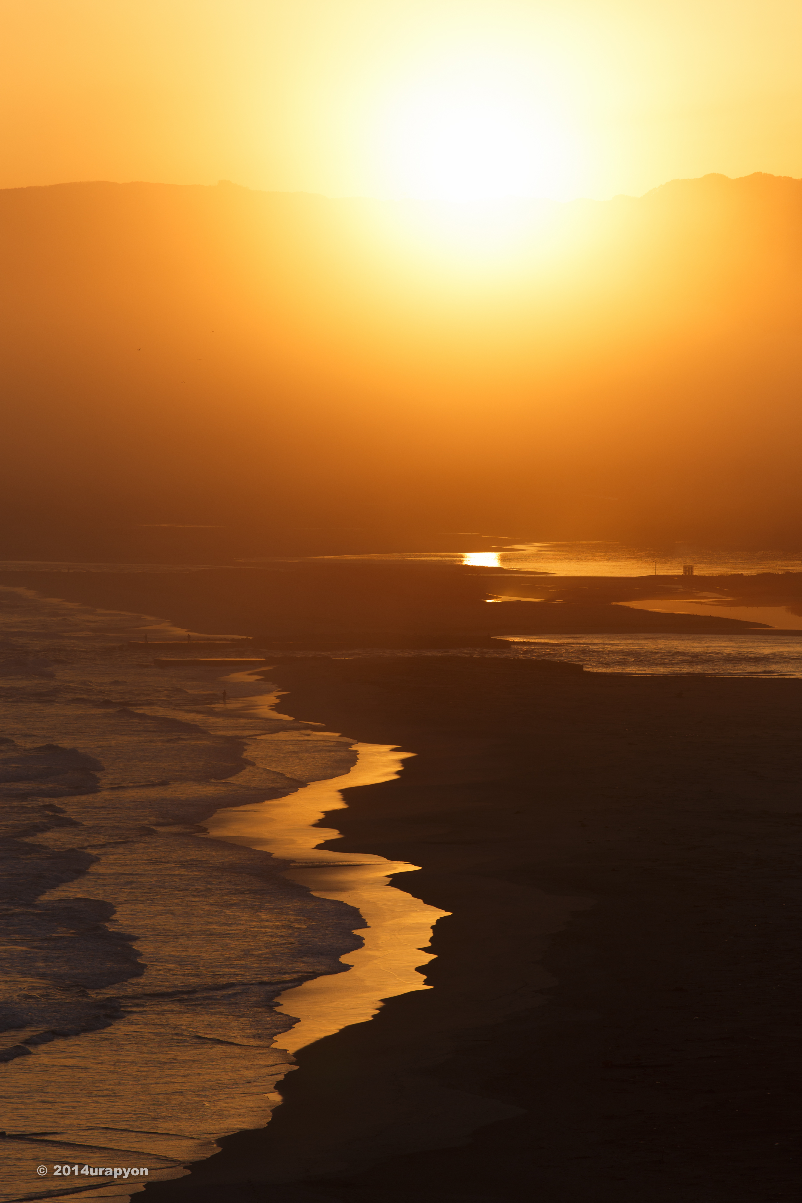
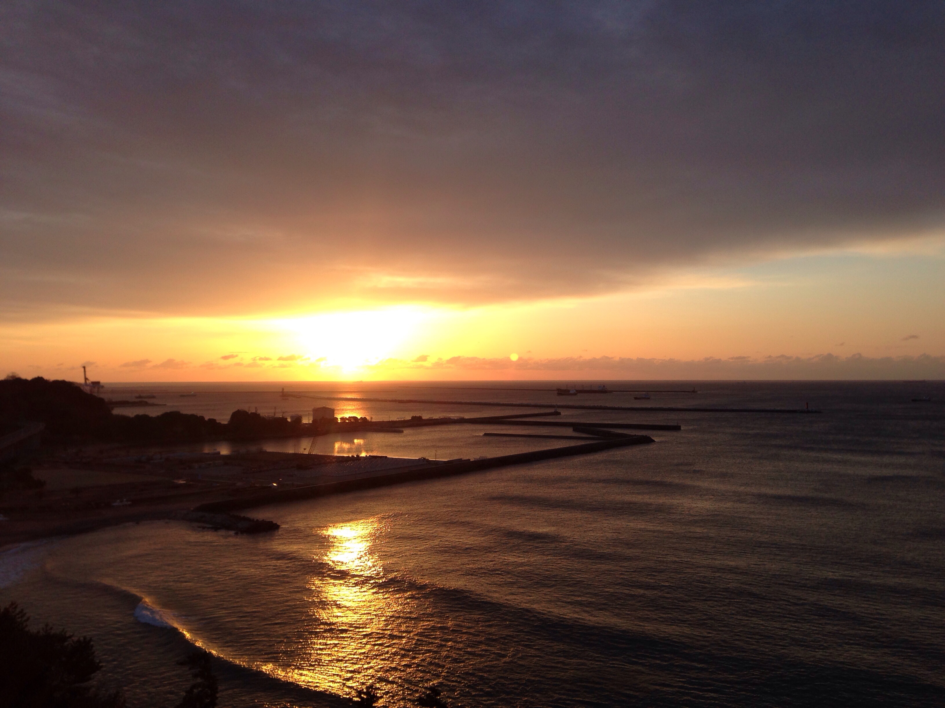
明けましておめでとうございます。 #初日の出
Scar of the Tsunami and a Thermal Power Plant

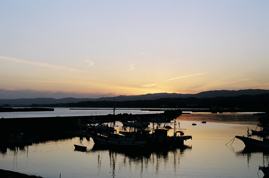
Moss of a Obama fishing port 小浜漁港
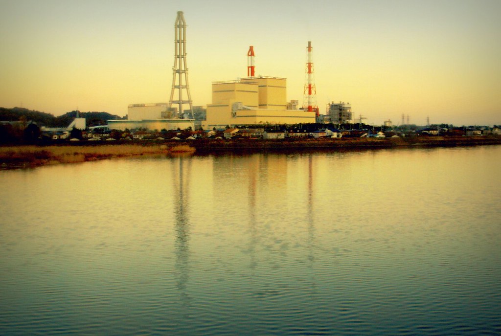
Nakoso IGCC power plant
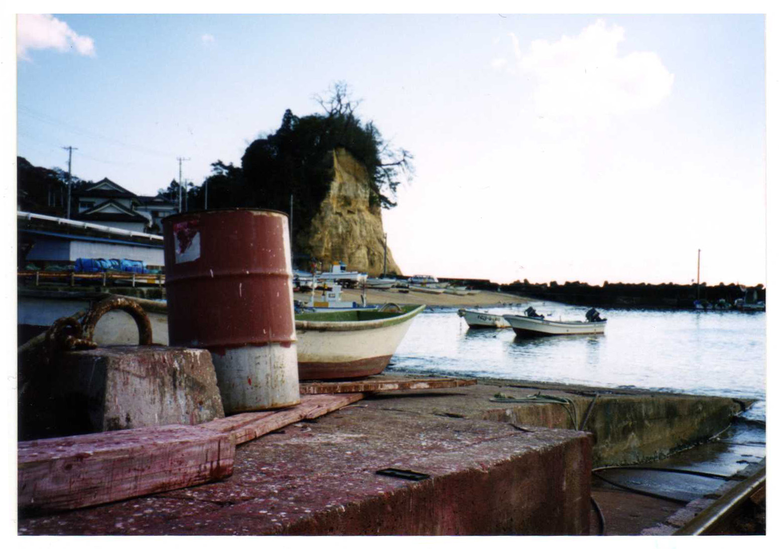
at a quiet port

Hopper of Coal Mine
Tsuki no Hama

Stairs to the Beach
small fishing port

常磐交通勿来支所バス停

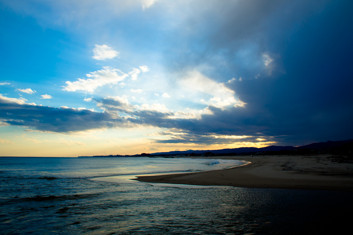
Nakoso Beach - in Fukushima on the way to Iwaki
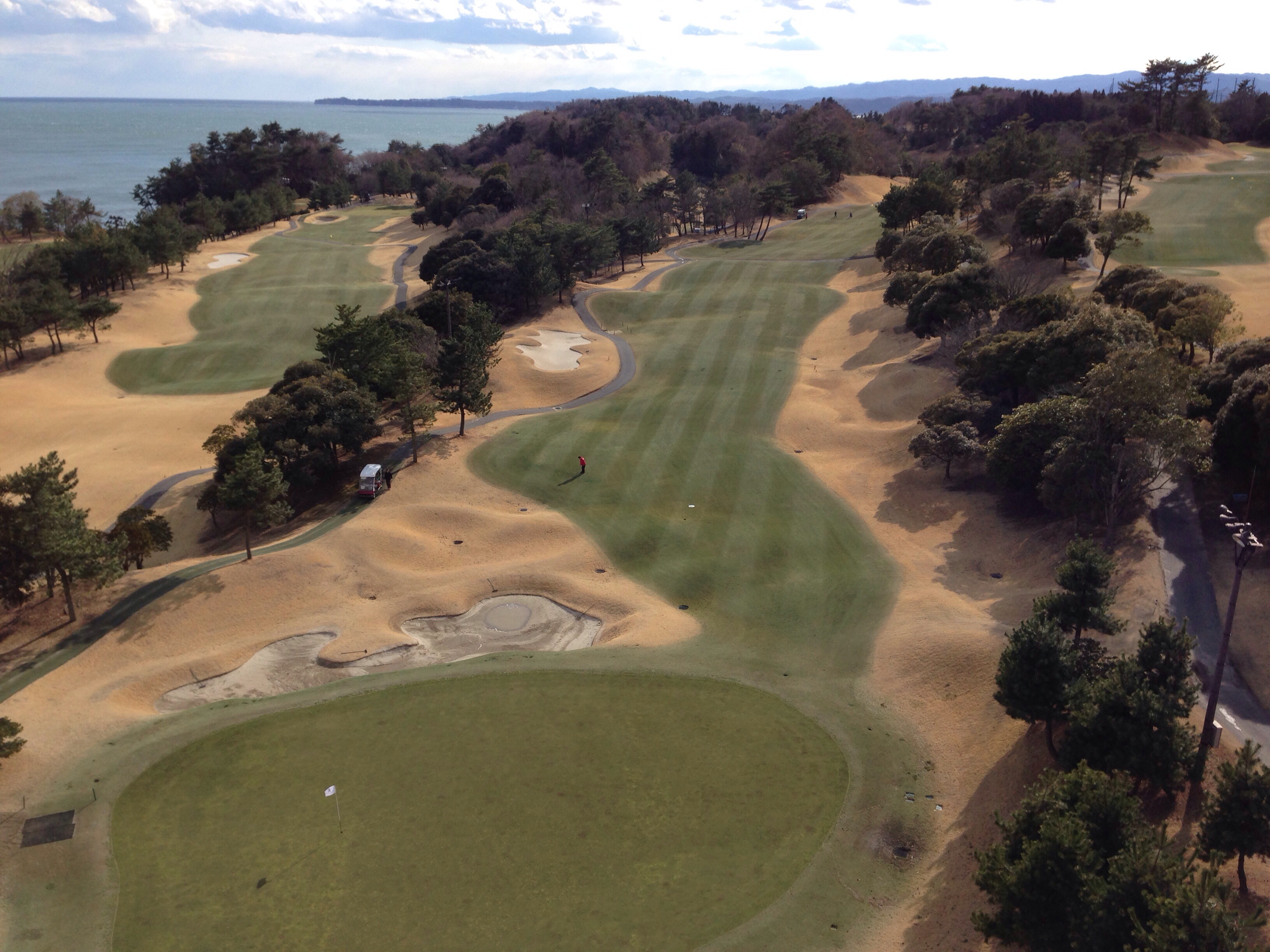
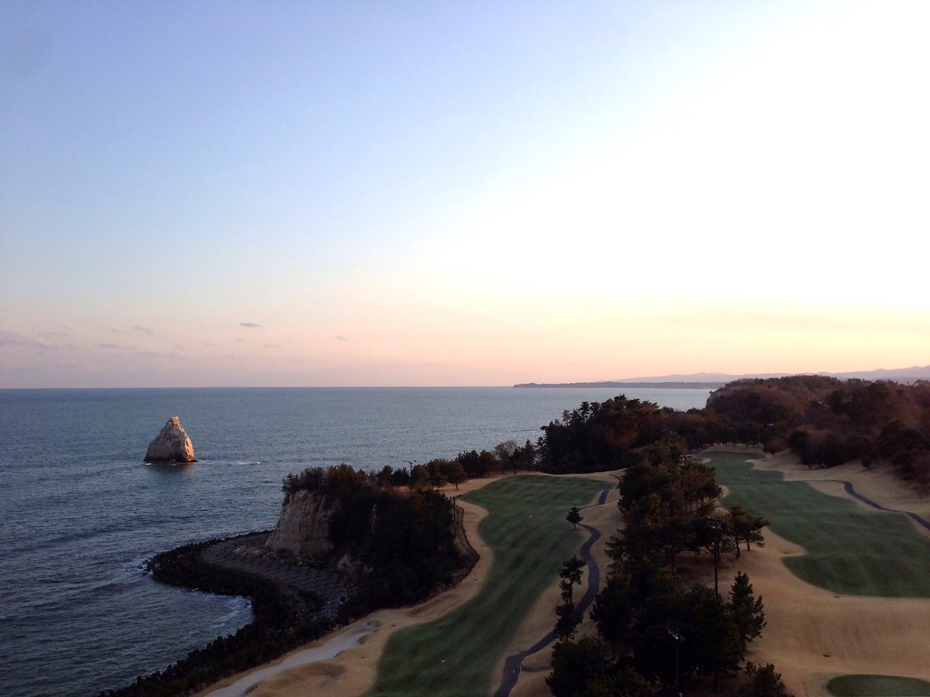
小名浜オーシャンホテル&ゴルフ

炭坑町の娯楽施設 The recreational facilities of coal miner's town

Beached Mickey
IMGP9094_5_6.hdr

Thermal power plant
小名浜オーシャンホテル&ゴルフ
Topographic Map of Kitaibaraki, Ibaraki Prefecture, Japan
Find elevation by address:

Places in Kitaibaraki, Ibaraki Prefecture, Japan:
Sekinamichō Kamiokashimo, Kitaibaraki-shi, Ibaraki-ken -, Japan
-39 Nakagōchō Shimosakurai, Kitaibaraki-shi, Ibaraki-ken -, Japan
Places near Kitaibaraki, Ibaraki Prefecture, Japan:
-39 Nakagōchō Shimosakurai, Kitaibaraki-shi, Ibaraki-ken -, Japan
Sekinamichō Kamiokashimo, Kitaibaraki-shi, Ibaraki-ken -, Japan
Kamitetsuna, Takahagi-shi, Ibaraki-ken -, Japan
Kubotamachidōri 2-chōme-40 Nakosomachi, Iwaki-shi, Fukushima-ken -, Japan
Takahagi
Sakashita-28 Yamadamamachi, Iwaki-shi, Fukushima-ken -, Japan
Ōkubo-5 Misawamachi, Iwaki-shi, Fukushima-ken -, Japan
Kamata-8 Nishikimachi, Iwaki-shi, Fukushima-ken -, Japan
1 Chome-3-9 Nishikimachichūō, Iwaki-shi, Fukushima-ken -, Japan
Dōchūshi- Numabemachi, Iwaki-shi, Fukushima-ken -, Japan
Kasaenoki-16 Yamadamachi, Iwaki-shi, Fukushima-ken -, Japan
Yokomachi-91-10 Uedamachi, Iwaki-shi, Fukushima-ken -, Japan
1 Chome-11-6 Minamidai, Iwaki-shi, Fukushima-ken -, Japan
Shinzan-28 Azumadamachi, Iwaki-shi, Fukushima-ken -, Japan
Iwashita-68 Takakuramachi, Iwaki-shi, Fukushima-ken -, Japan
Furubō-18 Soenomachi, Iwaki-shi, Fukushima-ken -, Japan
Nameishi-64 Tabitomachi Tabiuto, Iwaki-shi, Fukushima-ken -, Japan
Angyō- Yamadamachi, Iwaki-shi, Fukushima-ken -, Japan
Waseda-80- Izumimachikurosuno, Iwaki-shi, Fukushima-ken -, Japan
Takouchi-55 Ebatamachi, Iwaki-shi, Fukushima-ken -, Japan
Recent Searches:
- Elevation of N 82nd Pl, Mesa, AZ, USA
- Elevation of Snake Hill Rd, North Scituate, RI, USA
- Elevation of Lake Shore Dr, Warwick, RI, USA
- Elevation of E Brightview Ave, Pittsburgh, PA, USA
- Elevation of Cavendish Rd, Harringay Ladder, London N4 1RR, UK
- Elevation of 1 Zion Park Blvd, Springdale, UT, USA
- Elevation of Ganderbal
- Elevation map of Konkan Division, Maharashtra, India
- Elevation of Netaji Nagar, Hallow Pul, Kurla, Mumbai, Maharashtra, India
- Elevation of Uralsk, Kazakhstan