Elevation of 99 NL-80, Hant's Harbour, NL A0B 1Y0, Canada
Location: Canada > Newfoundland And Labrador > Division No. 1 > Hant's Harbour >
Longitude: -53.2596594
Latitude: 48.0084092
Elevation: 14m / 46feet
Barometric Pressure: 0KPa
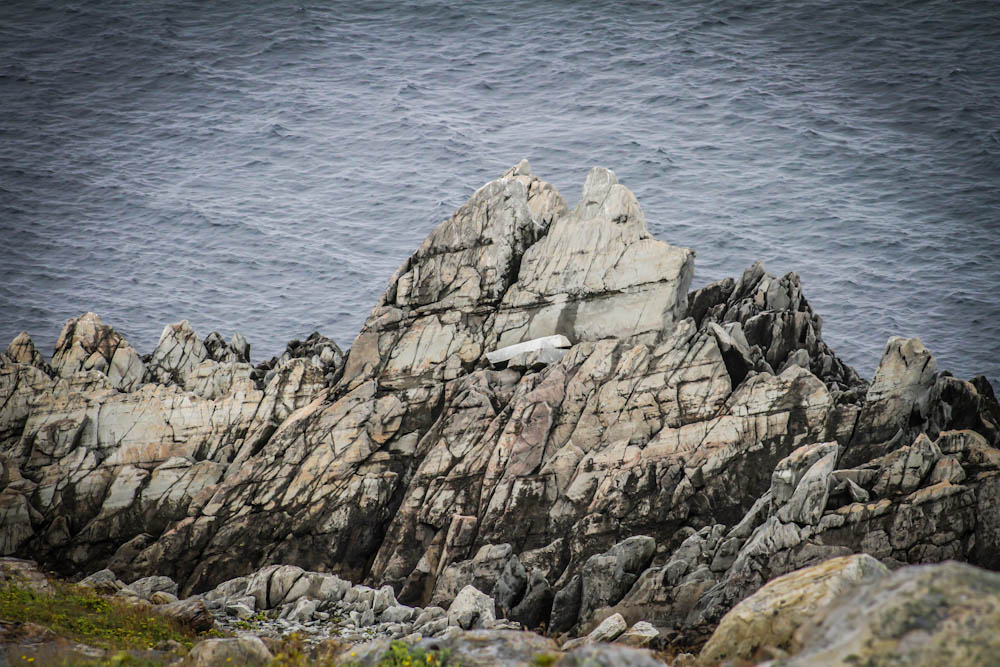
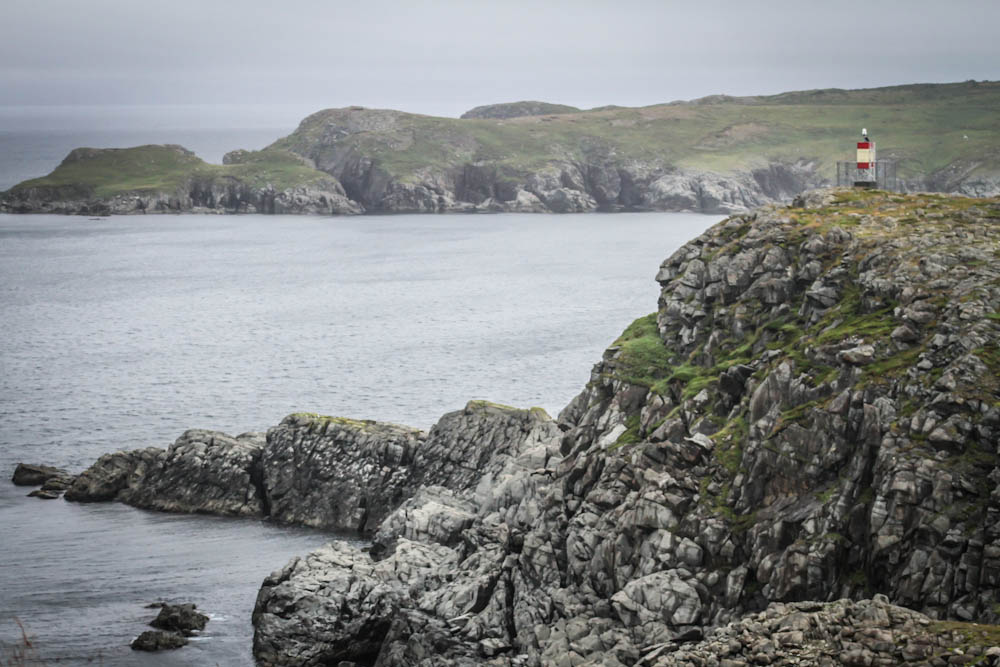
Related Photos:
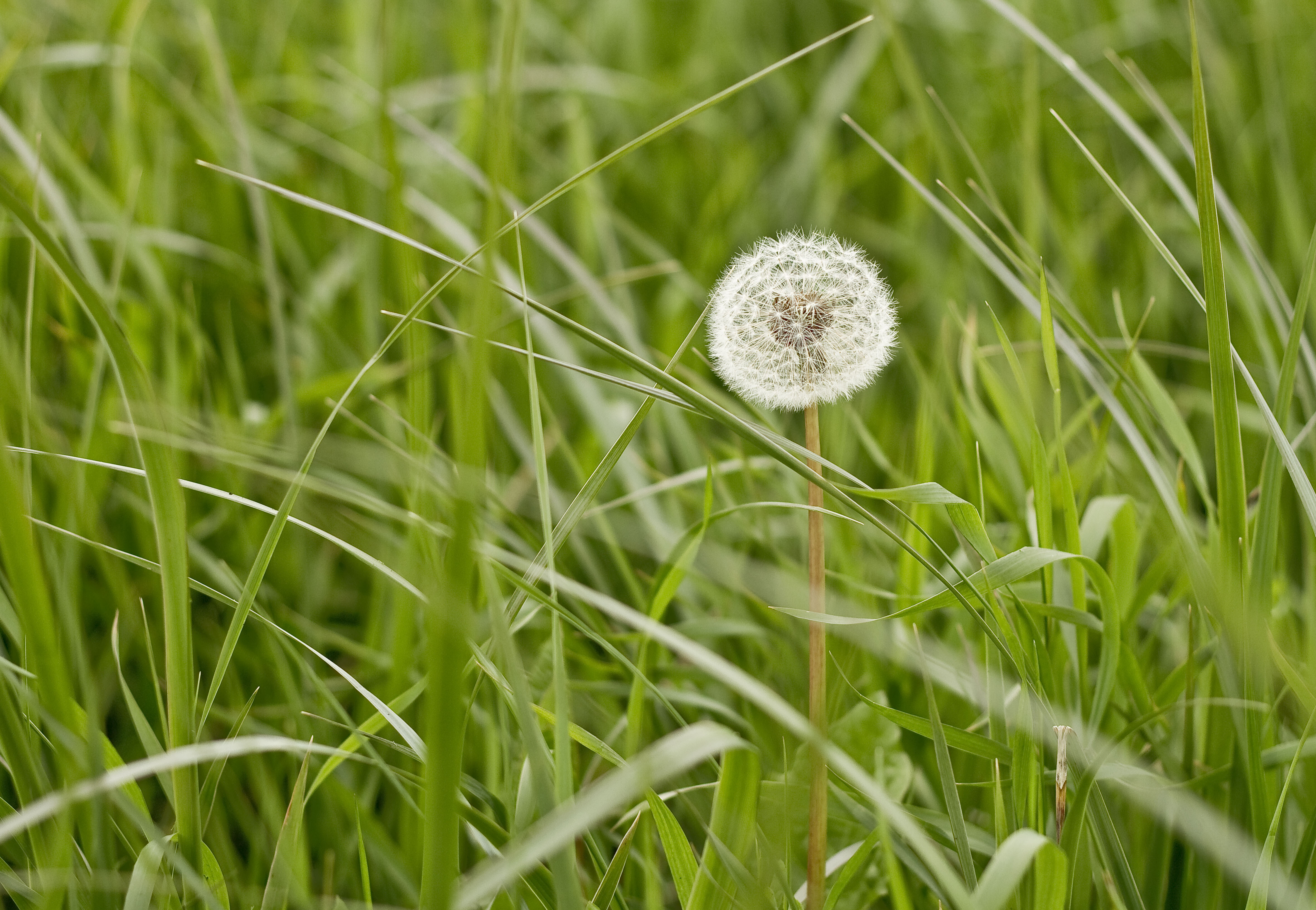
Lone Dandelion
IMG_3546.jpg
IMG_3512.jpg
IMG_3502.jpg
IMG_3547.jpg
IMG_3570.jpg
IMG_3520.jpg
IMG_3523.jpg

IMG_3564.jpg
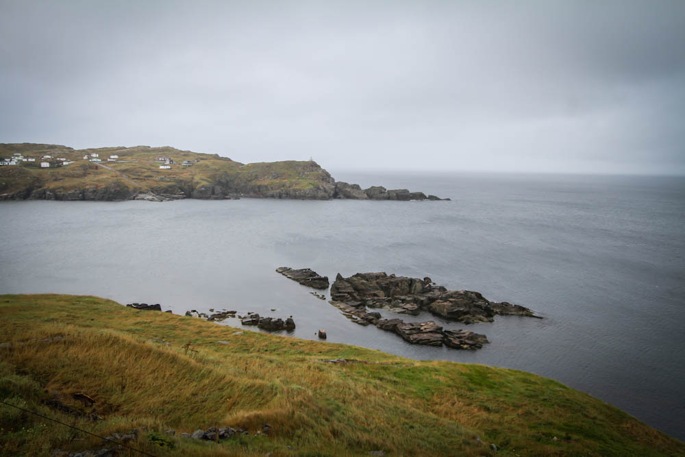
New Chelsea Cove, NL

IMG_3504.jpg
IMG_3548.jpg
IMG_3550.jpg
Northern Bay

New Chelsea

Northern Bay
Topographic Map of 99 NL-80, Hant's Harbour, NL A0B 1Y0, Canada
Find elevation by address:

Places near 99 NL-80, Hant's Harbour, NL A0B 1Y0, Canada:
Hant's Harbour
Harbour Rd, Winterton, NL A0B 3M0, Canada
Winterton
Division No. 1, Subd. F
15 NL-80, Hant's Harbour, NL A0B 1Y0, Canada
Heart's Content
NL-80, Heart's Content, NL A0B 1Z0, Canada
29 NL-80, Old Perlican, NL A0A 3G0, Canada
Division No. 1, Subd. G
Ochre Pit Cove
3 Peaches Rd, Ochre Pit Cove, NL A0A 3E0, Canada
Breeches Pond
41 High St, Trinity, NL A0C 2S0, Canada
Bay De Verde
Division No. 7, Subd. G
Port Union
Knights Cove
Newfoundland, Knights Cove, NL A0C 1T0, Canada
22 Bonavista Bay Hwy, Keels, NL A0C 1R0, Canada
20 Church St #16
Recent Searches:
- Elevation of Sullivan Hill, New York, New York, 10002, USA
- Elevation of Morehead Road, Withrow Downs, Charlotte, Mecklenburg County, North Carolina, 28262, USA
- Elevation of 2800, Morehead Road, Withrow Downs, Charlotte, Mecklenburg County, North Carolina, 28262, USA
- Elevation of Yangbi Yi Autonomous County, Yunnan, China
- Elevation of Pingpo, Yangbi Yi Autonomous County, Yunnan, China
- Elevation of Mount Malong, Pingpo, Yangbi Yi Autonomous County, Yunnan, China
- Elevation map of Yongping County, Yunnan, China
- Elevation of North 8th Street, Palatka, Putnam County, Florida, 32177, USA
- Elevation of 107, Big Apple Road, East Palatka, Putnam County, Florida, 32131, USA
- Elevation of Jiezi, Chongzhou City, Sichuan, China
- Elevation of Chongzhou City, Sichuan, China
- Elevation of Huaiyuan, Chongzhou City, Sichuan, China
- Elevation of Qingxia, Chengdu, Sichuan, China
- Elevation of Corso Fratelli Cairoli, 35, Macerata MC, Italy
- Elevation of Tallevast Rd, Sarasota, FL, USA
- Elevation of 4th St E, Sonoma, CA, USA
- Elevation of Black Hollow Rd, Pennsdale, PA, USA
- Elevation of Oakland Ave, Williamsport, PA, USA
- Elevation of Pedrógão Grande, Portugal
- Elevation of Klee Dr, Martinsburg, WV, USA