Elevation of 99- Kutno, Poland
Location: Poland > Łódź Voivodeship >
Longitude: 19.364278
Latitude: 52.230618
Elevation: 111m / 364feet
Barometric Pressure: 100KPa
Elevation Map:
Satellite Map:
Related Photos:

Oporów (Poland)

A view inside the Krosniewice workshop: four Lxd2 and a Px48.
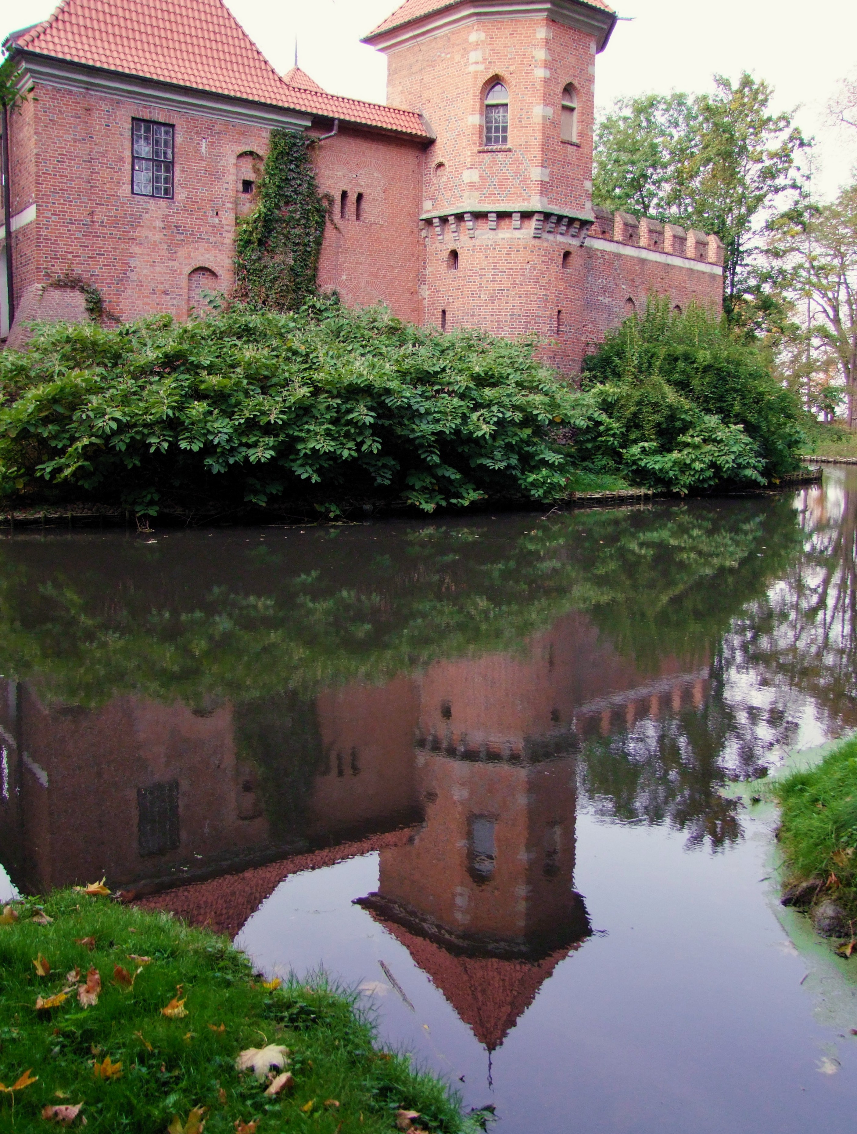
The castle in Oporów

forgotten alleys...

view with a church

the view with the church

Niebo nad Polską III

Winter Sunsets

Beyond the Horizon

Niebo nad Polską III b&w

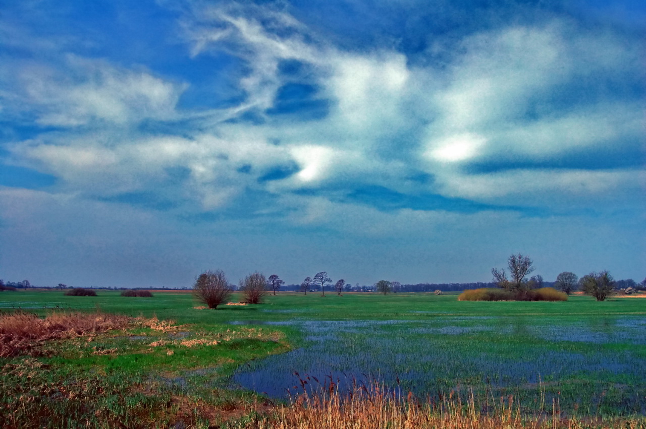
Green Fields

Two fences

small castle :) (2 photos)
white balance?

lost in time

calming down
lost and forgotten
lost and forgotten
and another...

wiejski pejzaż

20170817_173802_Oporów
Topographic Map of 99- Kutno, Poland
Find elevation by address:

Places near 99- Kutno, Poland:
Wloclawek
Kolo
Kazimierzewo
Podgórz
Torun
Marii Konopnickiej
Zbożowa
Kuyavian-pomeranian Voivodeship
86-212
Gmina Stolno
Chełmno County
Wabcz
Recent Searches:
- Elevation of 24 Oakland Rd #, Scotland, ON N0E 1R0, Canada
- Elevation of Deep Gap Farm Rd E, Mill Spring, NC, USA
- Elevation of Dog Leg Dr, Minden, NV, USA
- Elevation of Dog Leg Dr, Minden, NV, USA
- Elevation of Kambingan Sa Pansol Atbp., Purok 7 Pansol, Candaba, Pampanga, Philippines
- Elevation of Pinewood Dr, New Bern, NC, USA
- Elevation of Mountain View, CA, USA
- Elevation of Foligno, Province of Perugia, Italy
- Elevation of Blauwestad, Netherlands
- Elevation of Bella Terra Blvd, Estero, FL, USA