Elevation of 87 Doi, Akiōta-chō, Yamagata-gun, Hiroshima-ken -, Japan
Location: Japan > Hiroshima Prefecture > Yamagata District > Akiota >
Longitude: 132.230976
Latitude: 34.5680371
Elevation: 328m / 1076feet
Barometric Pressure: 97KPa
Elevation Map:
Satellite Map:
Related Photos:
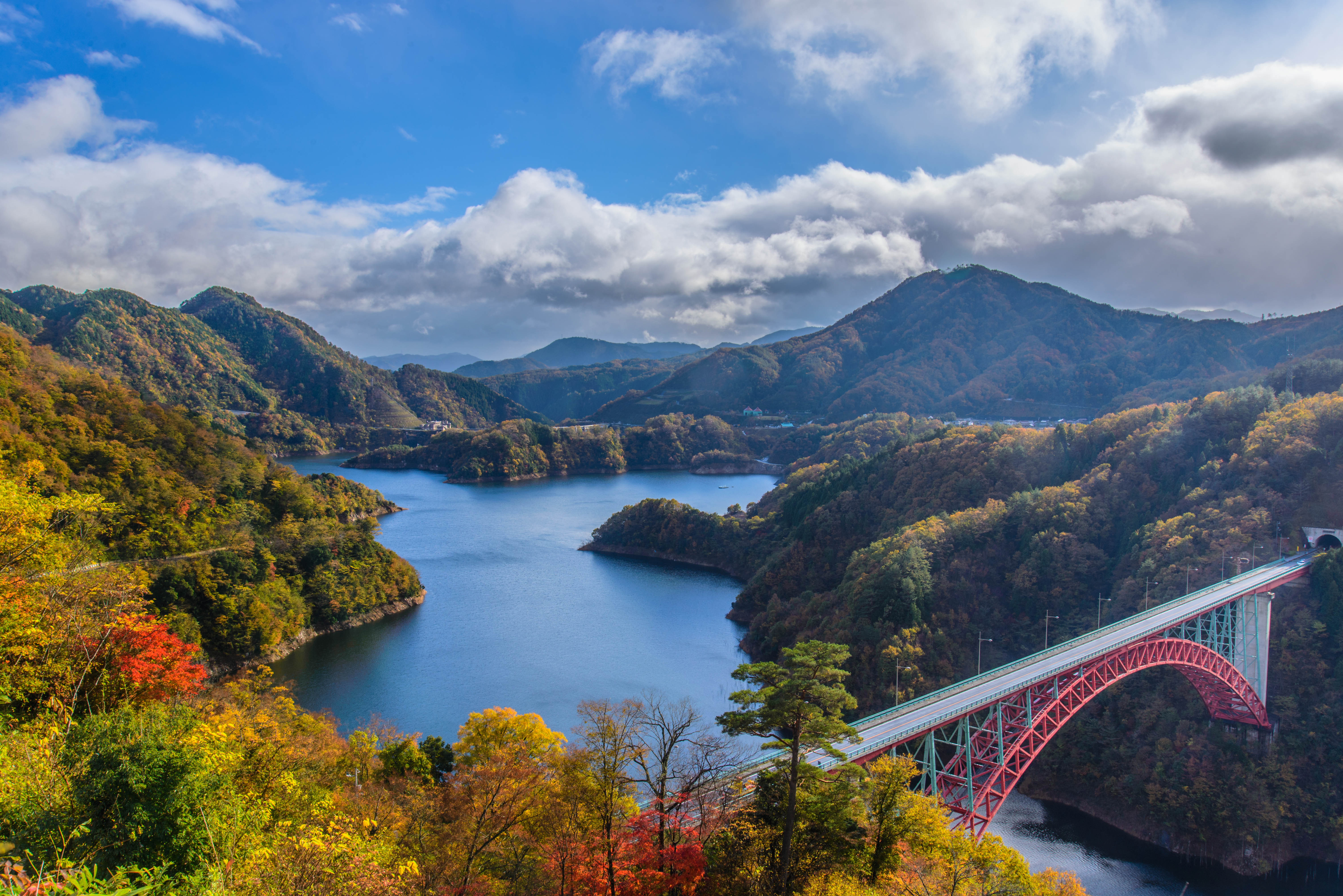
Colorful autumn Dam
Autumn fall 深山峡の秋
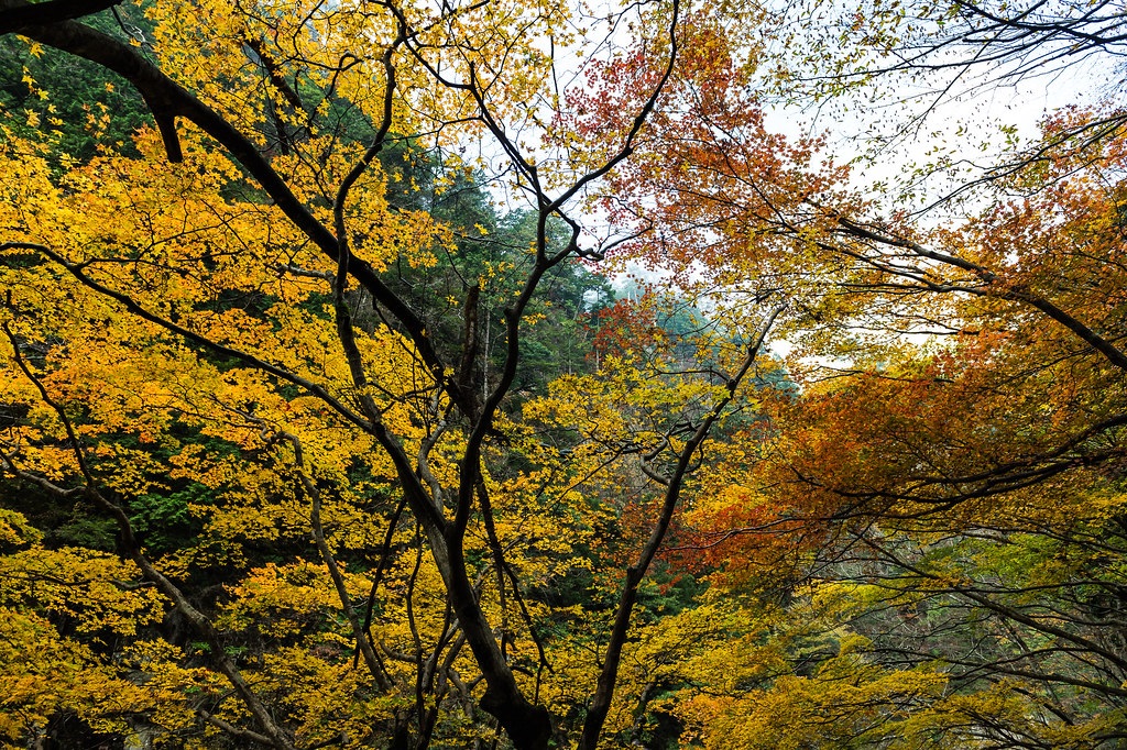
yellow leaves
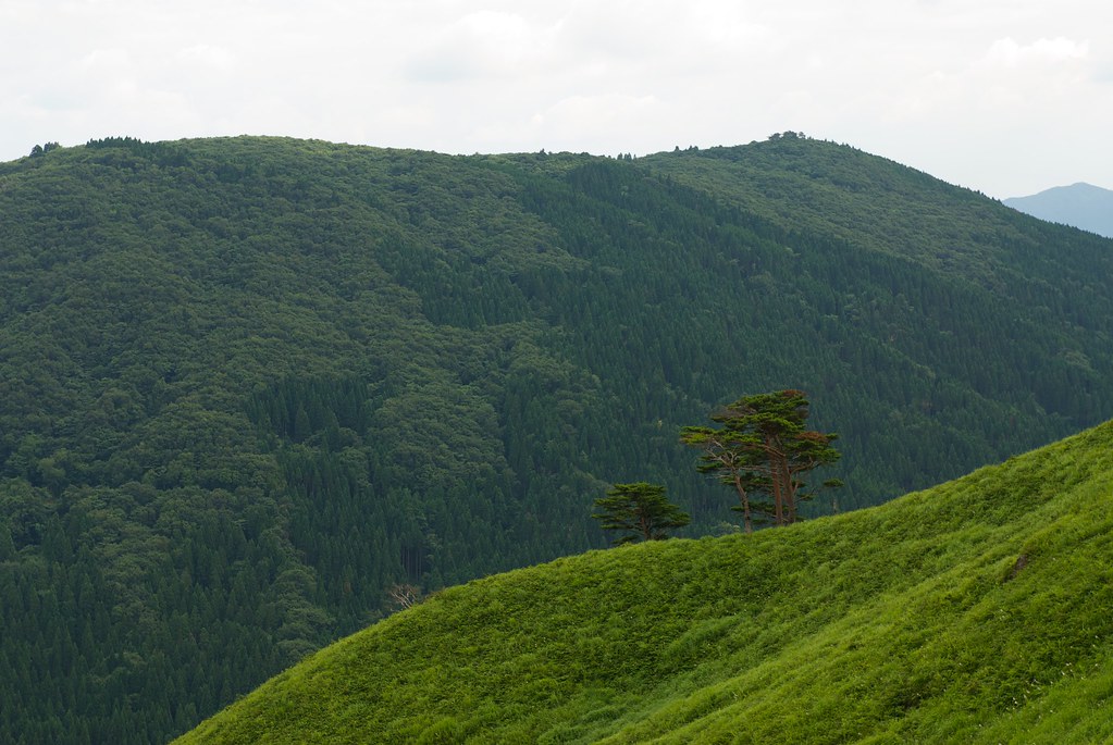
深入山
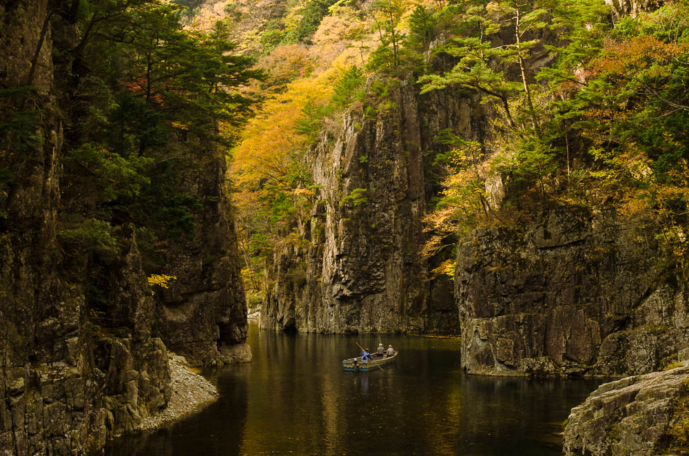
A river ferry 渡し船
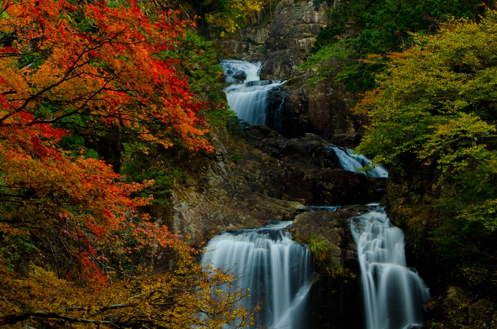
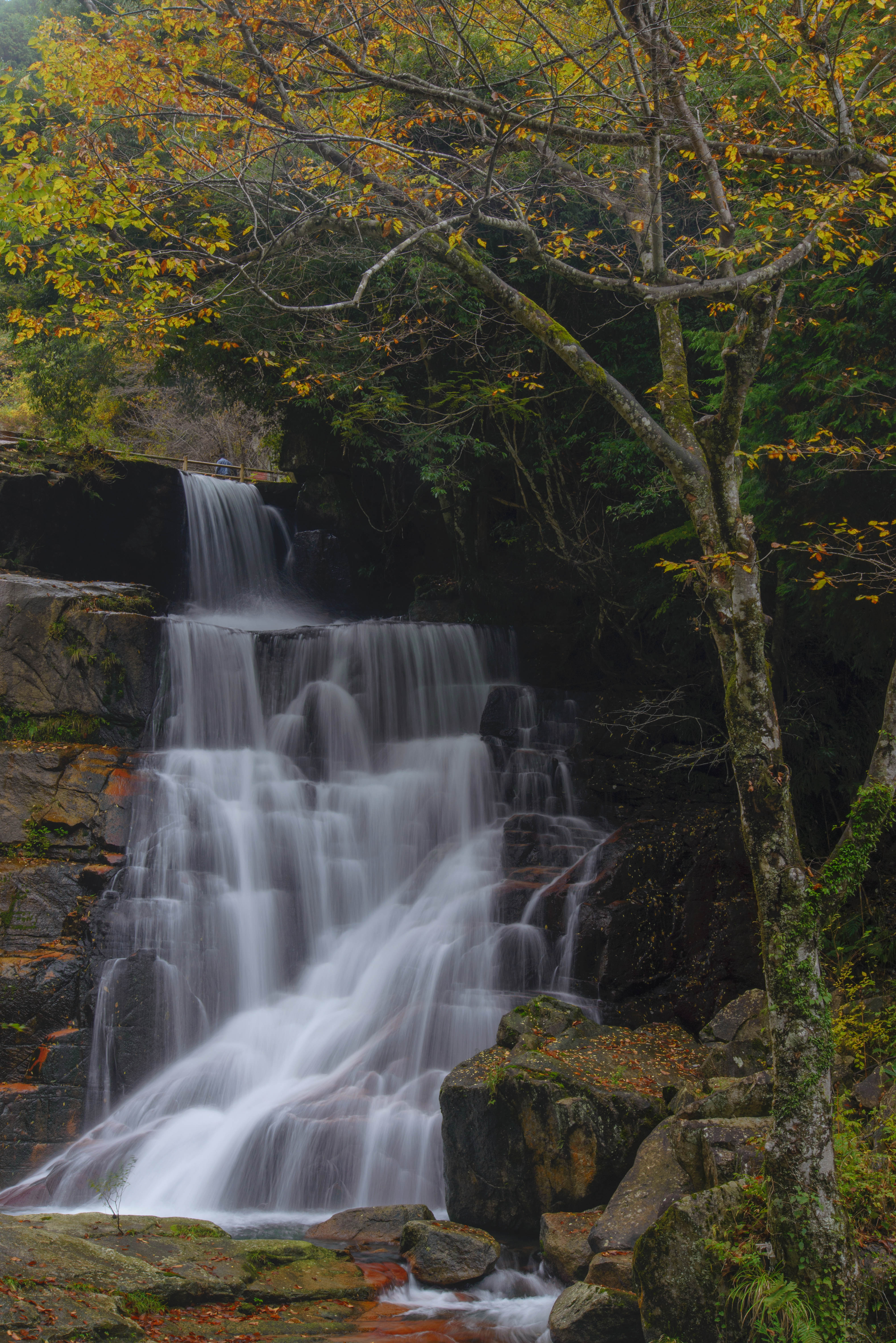
滝と紅葉 Waterfalls & Autumn Red Maple Leaves#2

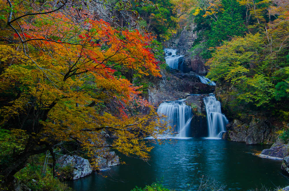
Waterfalls and Colorful leaves#滝と紅葉

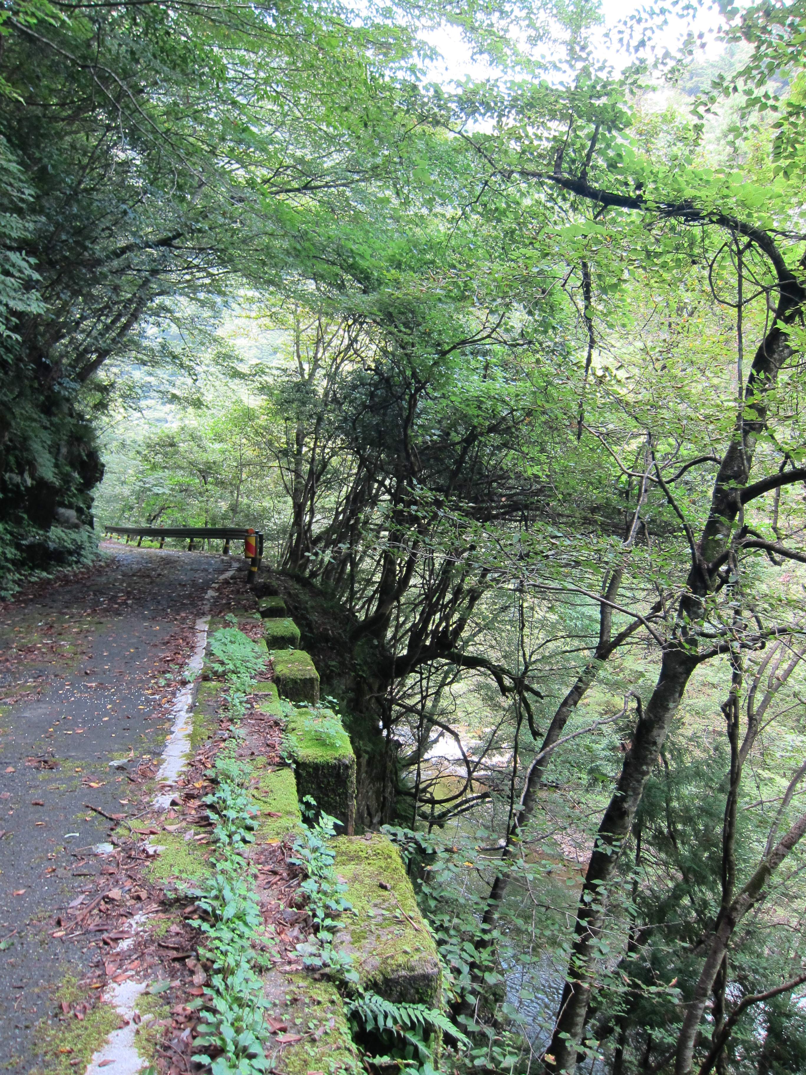
Deep in the forest 三段峡 広島県
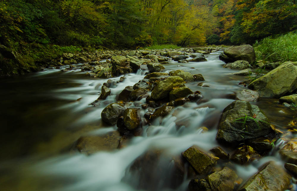
A stream and colorful trees 川と紅葉

Waterfalls and Colorful leaves#2滝と紅葉

雑木林の紅葉♪( ´▽`)
滝と紅葉 Waterfalls & Autumn Red Maple Leaves
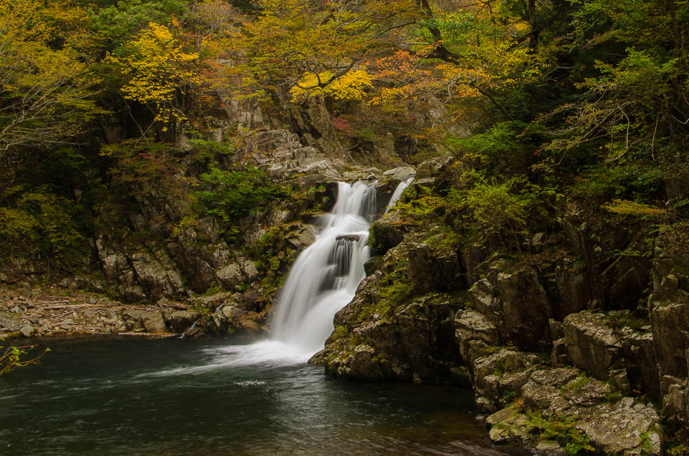
Waterfall and colorfu leaves滝と紅葉
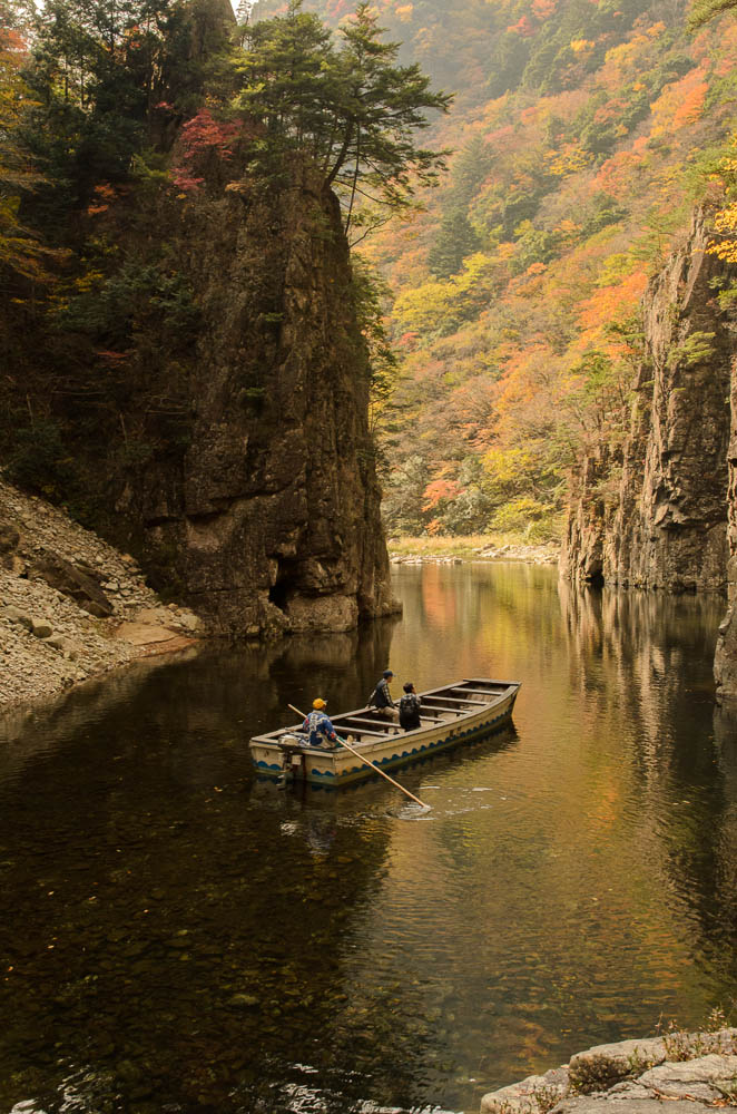
渡し船 River Ferry #2
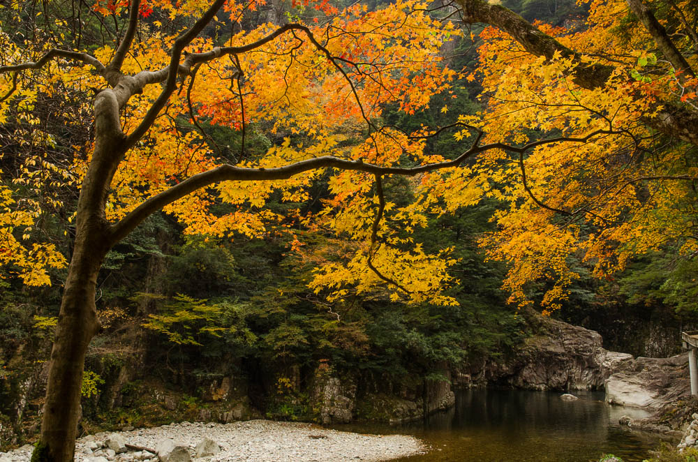
River & Colorful leaves 川と紅葉
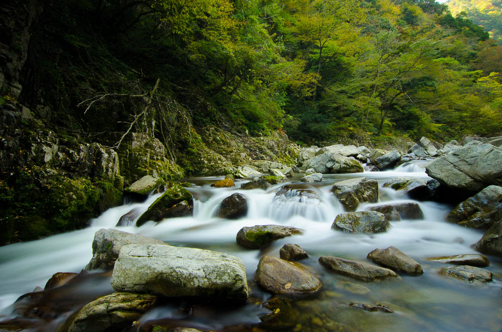
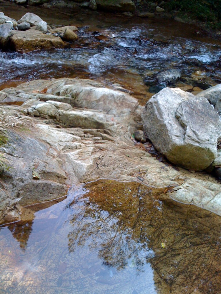
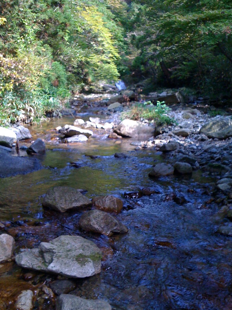
A Stream in a forest 広島県 三段峡
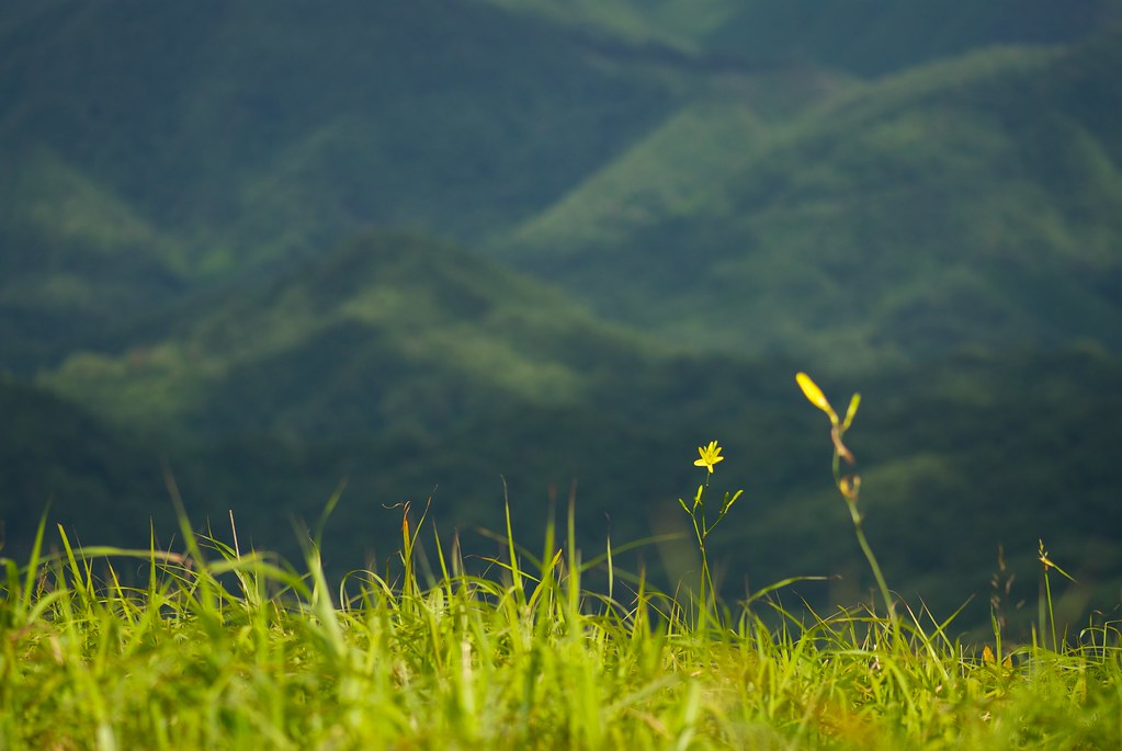
ユウスゲ
湯来町視察20091017 - 050
IMG_4787-2.jpg
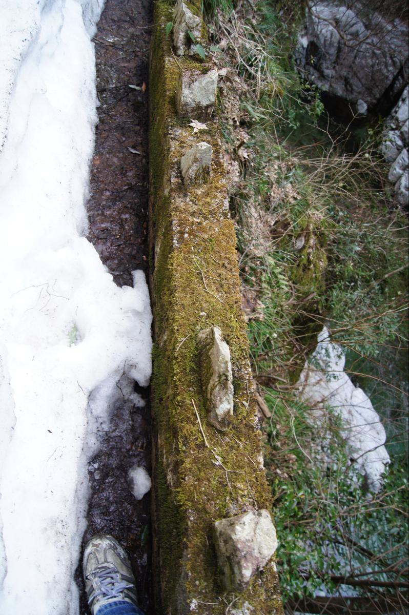
三段峡 残雪と崖の隙間を歩く
湯来町視察20091017 - 046
Topographic Map of 87 Doi, Akiōta-chō, Yamagata-gun, Hiroshima-ken -, Japan
Find elevation by address:

Places near 87 Doi, Akiōta-chō, Yamagata-gun, Hiroshima-ken -, Japan:
Akiota
Jiryō, Akiōta-chō, Yamagata-gun, Hiroshima-ken -, Japan
ヨシムラガラス
18-21 Asachō Ōaza Kusunokidai
Asachō Ōaza Kuchi, Asakita-ku, Hiroshima-shi, Hiroshima-ken -, Japan
3 Chome-16-1 Tomohigashi, Asaminami-ku, Hiroshima-shi, Hiroshima-ken -, Japan
Asachō Ōaza Kegi, Asakita-ku, Hiroshima-shi, Hiroshima-ken -, Japan
9 Chome-15-8 Asahigaoka, Asakita-ku, Hiroshima-shi, Hiroshima-ken -, Japan
Asachō Ōaza Imuro, Asakita-ku, Hiroshima-shi, Hiroshima-ken -, Japan
1 Chome-25-7 Asahigaoka, Asakita-ku, Hiroshima-shi, Hiroshima-ken -, Japan
1896-3 Asachō Ōaza Suzuhari
今橋一級建築士事務所
- Kabechō Ōaza Katsugi, Asakita-ku, Hiroshima-shi, Hiroshima-ken -, Japan
3 Chome-67-15 Aita, Asaminami-ku, Hiroshima-shi, Hiroshima-ken -, Japan
Asachō Ōaza Tsutsuse, Asakita-ku, Hiroshima-shi, Hiroshima-ken -, Japan
9 Chome-23-4 Kameyama, Asakita-ku, Hiroshima-shi, Hiroshima-ken -, Japan
-37 Kabechō Ōaza Imaida, Asakita-ku, Hiroshima-shi, Hiroshima-ken -, Japan
Kabechō Ōaza Ayagatani, Asakita-ku, Hiroshima-shi, Hiroshima-ken -, Japan
7 Chome-9-41-5 Kameyama, Asakita-ku, Hiroshima-shi, Hiroshima-ken -, Japan
フラグラント緑井
Recent Searches:
- Elevation of Beall Road, Beall Rd, Florida, USA
- Elevation of Leguwa, Nepal
- Elevation of County Rd, Enterprise, AL, USA
- Elevation of Kolchuginsky District, Vladimir Oblast, Russia
- Elevation of Shustino, Vladimir Oblast, Russia
- Elevation of Lampiasi St, Sarasota, FL, USA
- Elevation of Elwyn Dr, Roanoke Rapids, NC, USA
- Elevation of Congressional Dr, Stevensville, MD, USA
- Elevation of Bellview Rd, McLean, VA, USA
- Elevation of Stage Island Rd, Chatham, MA, USA