Elevation of 71 N Main St, New Salem, MA, USA
Location: United States > Massachusetts > Franklin County > New Salem >
Longitude: -72.339479
Latitude: 42.5244355
Elevation: 277m / 909feet
Barometric Pressure: 98KPa
Elevation Map:
Satellite Map:
Related Photos:
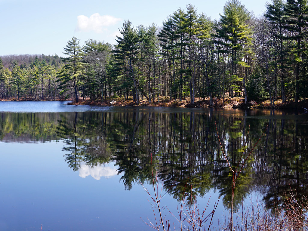
Pond View

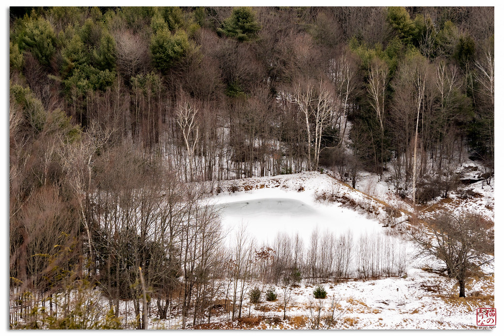
Despite the Snow

water music
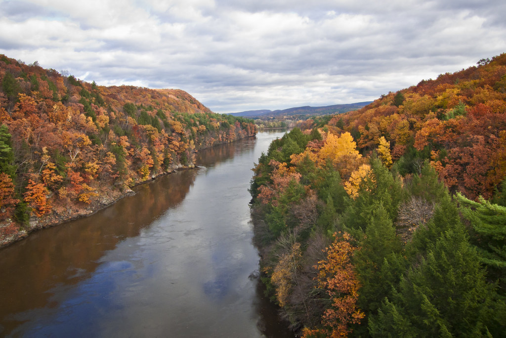
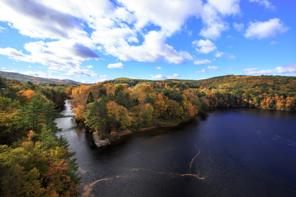
Autumn Foliage Scenery viewed from French King Bridge

Panoramic Autumn Foliage Scenery viewed from French King Bridge
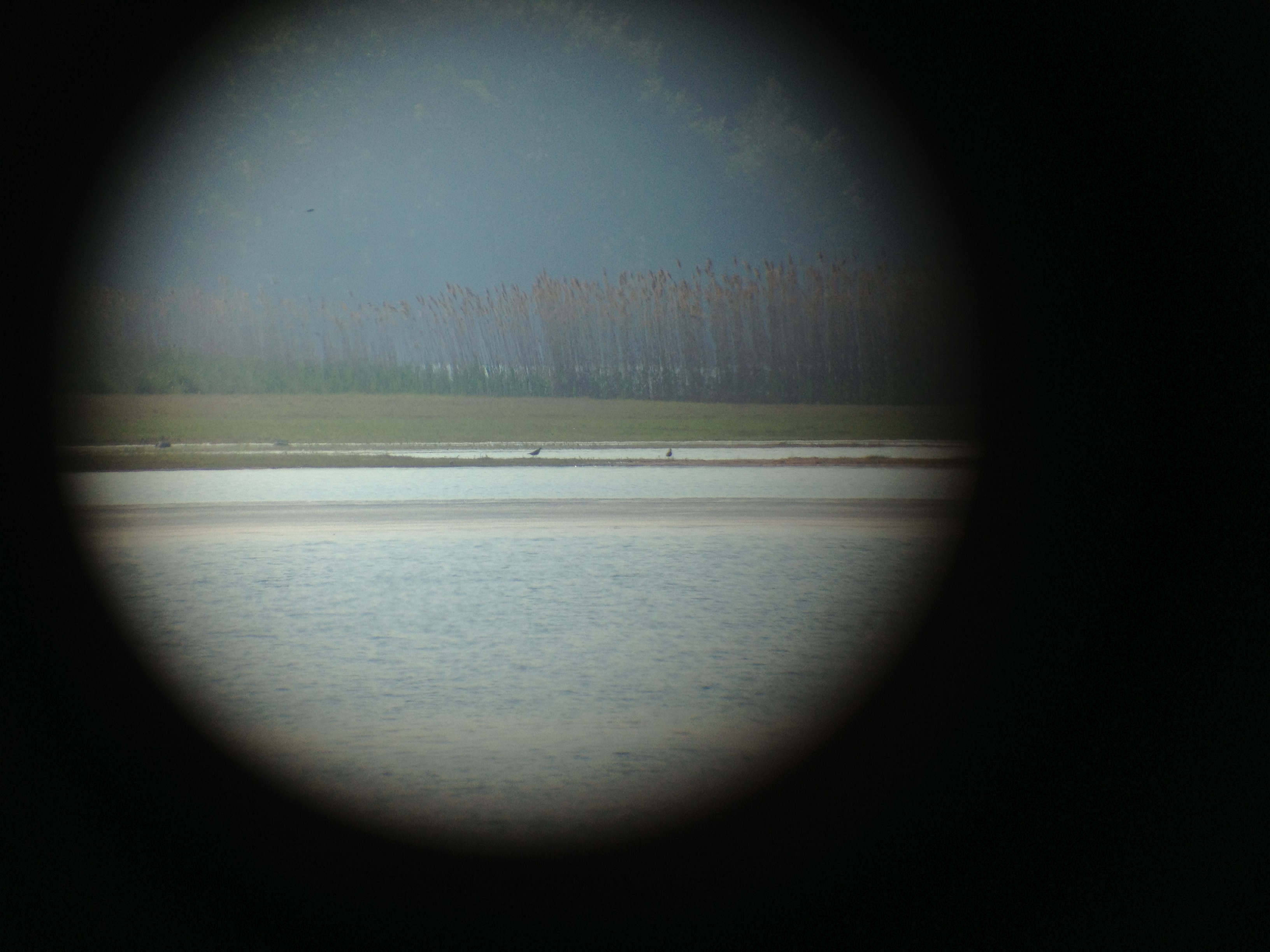
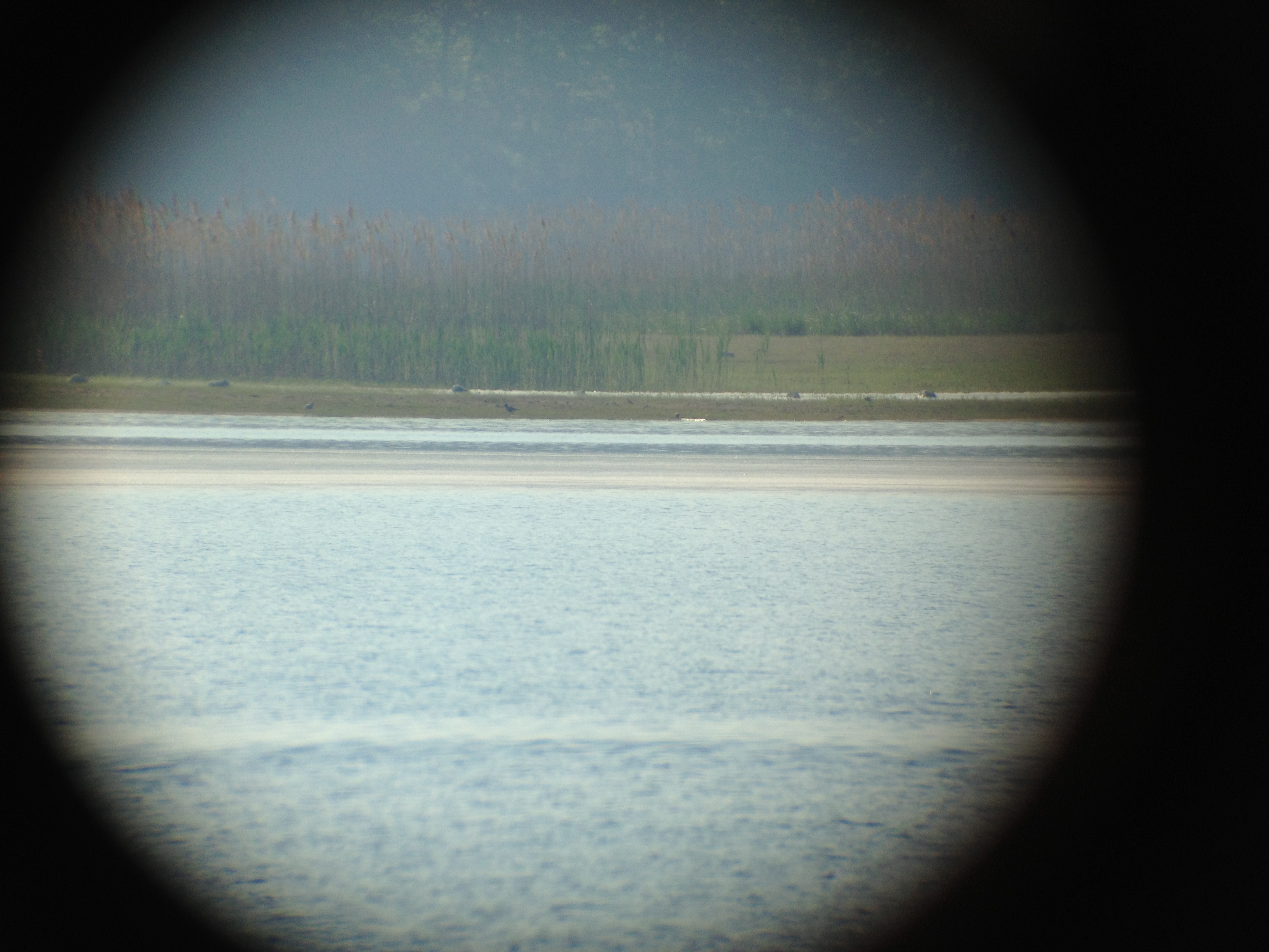
Black bellied Plovers
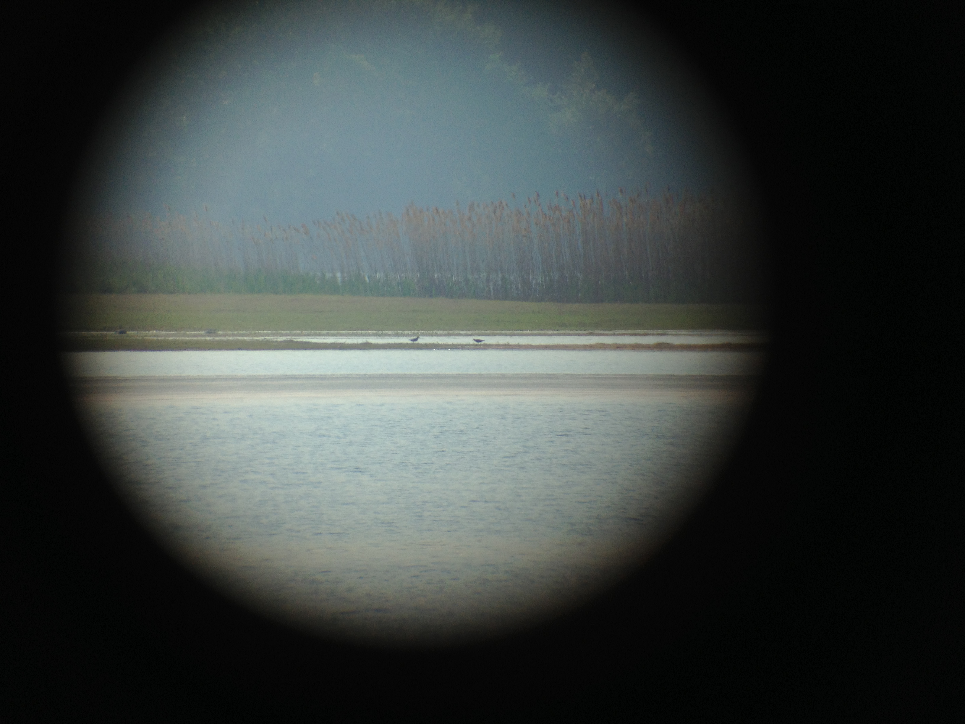
Black bellied Plovers

Black bellied Plovers
Black bellied Plovers
Autumn View from Fench King Bridge, MA
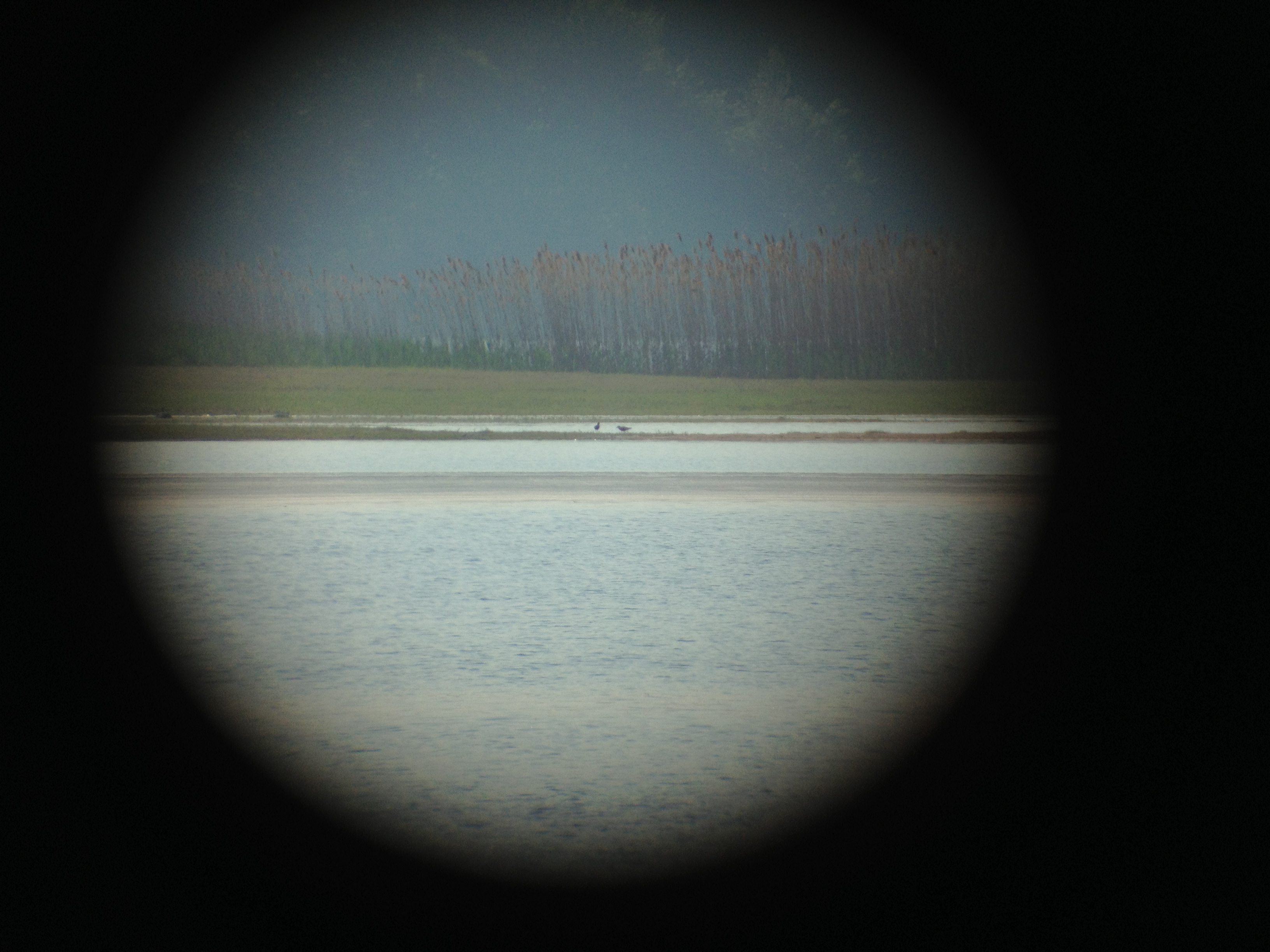
Black bellied Plovers with Dunlin
Black bellied Plovers with Dunlin
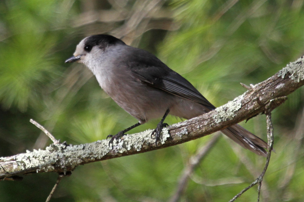
Gray Jay
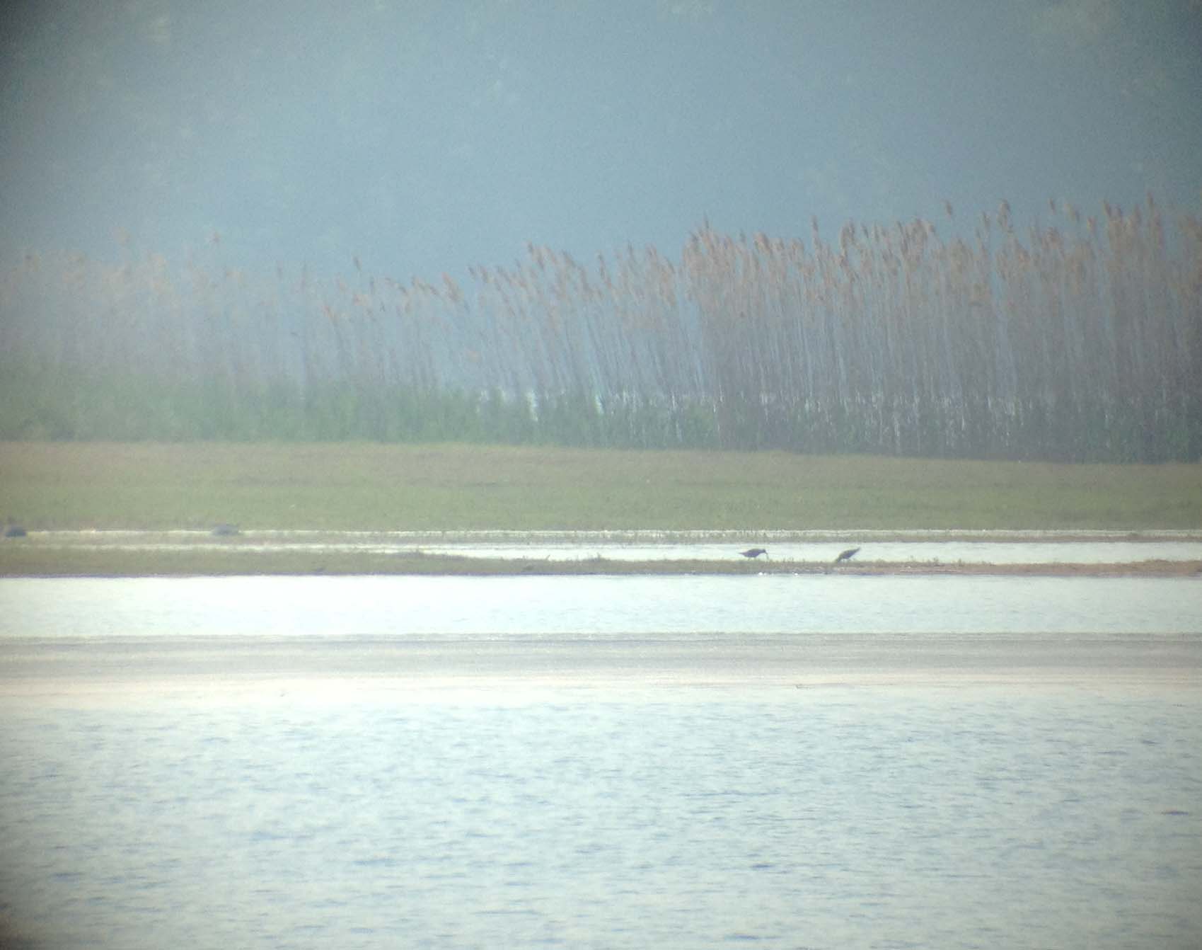
Black bellied Plovers

Black bellied Plovers
Black bellied Plovers with Dunlin
Black bellied Plovers
Bear's Den
CT River View
A North View of Connecticut River on the bridge
Autumn Foliage Scenery viewed from French King Bridge

Morning Quabbin Glory

French King Bridge I
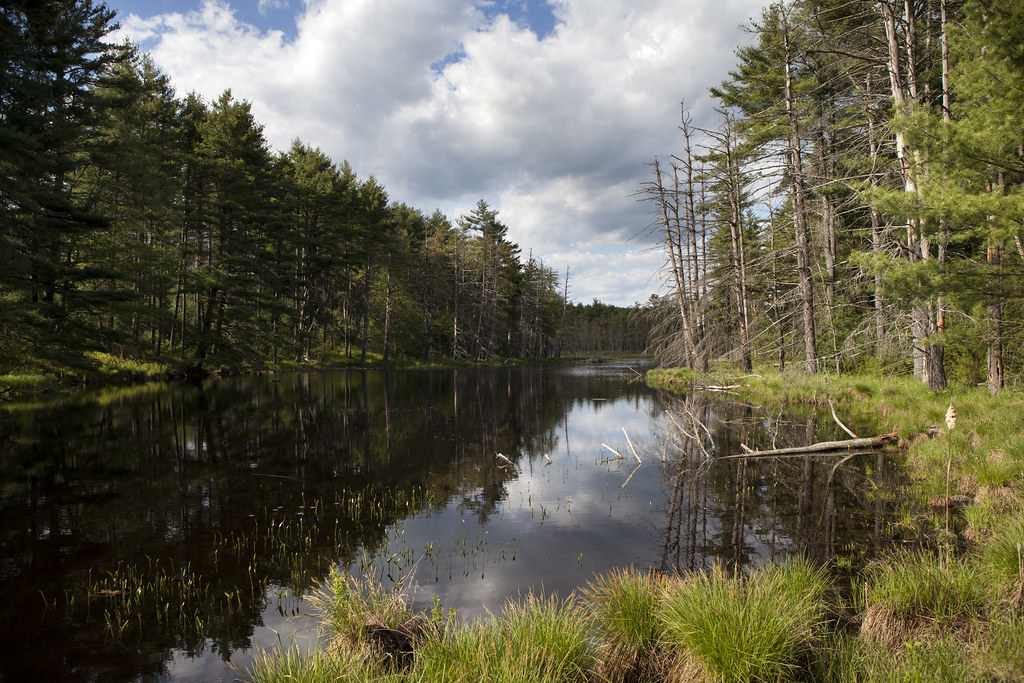
Harvard Pond, Western Massachusetts

Millers River

Adieu... 2013 Autumn

French King Bridge II

I love this place ❤#Northfield #MA #love
Briggs Brook Falls

Harvard Pond #2

Hermit Thrush

Sunlit Trees on the Bank
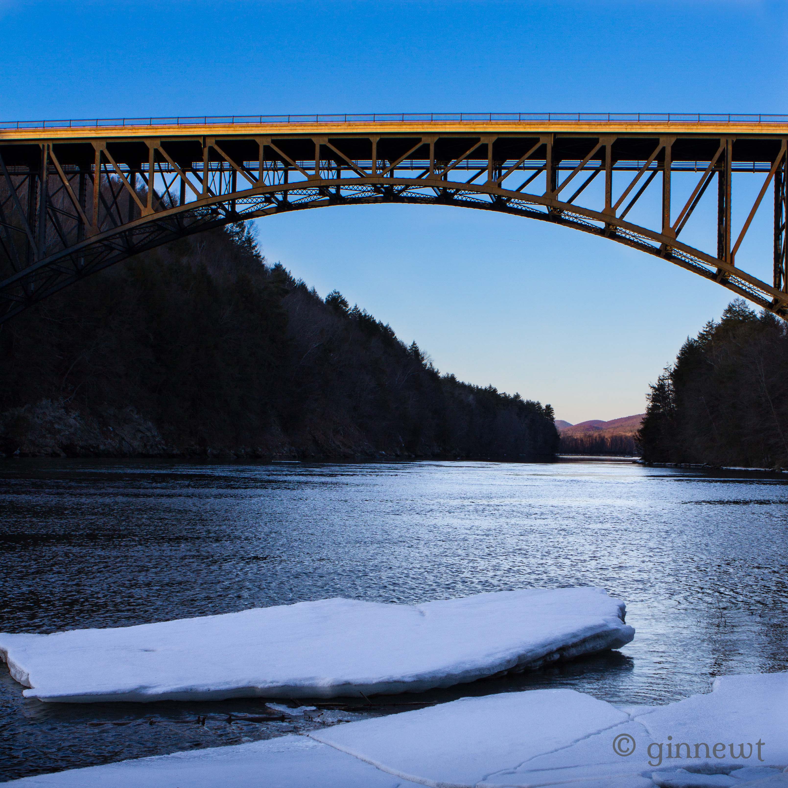
French King Bridge & an Ice Flow

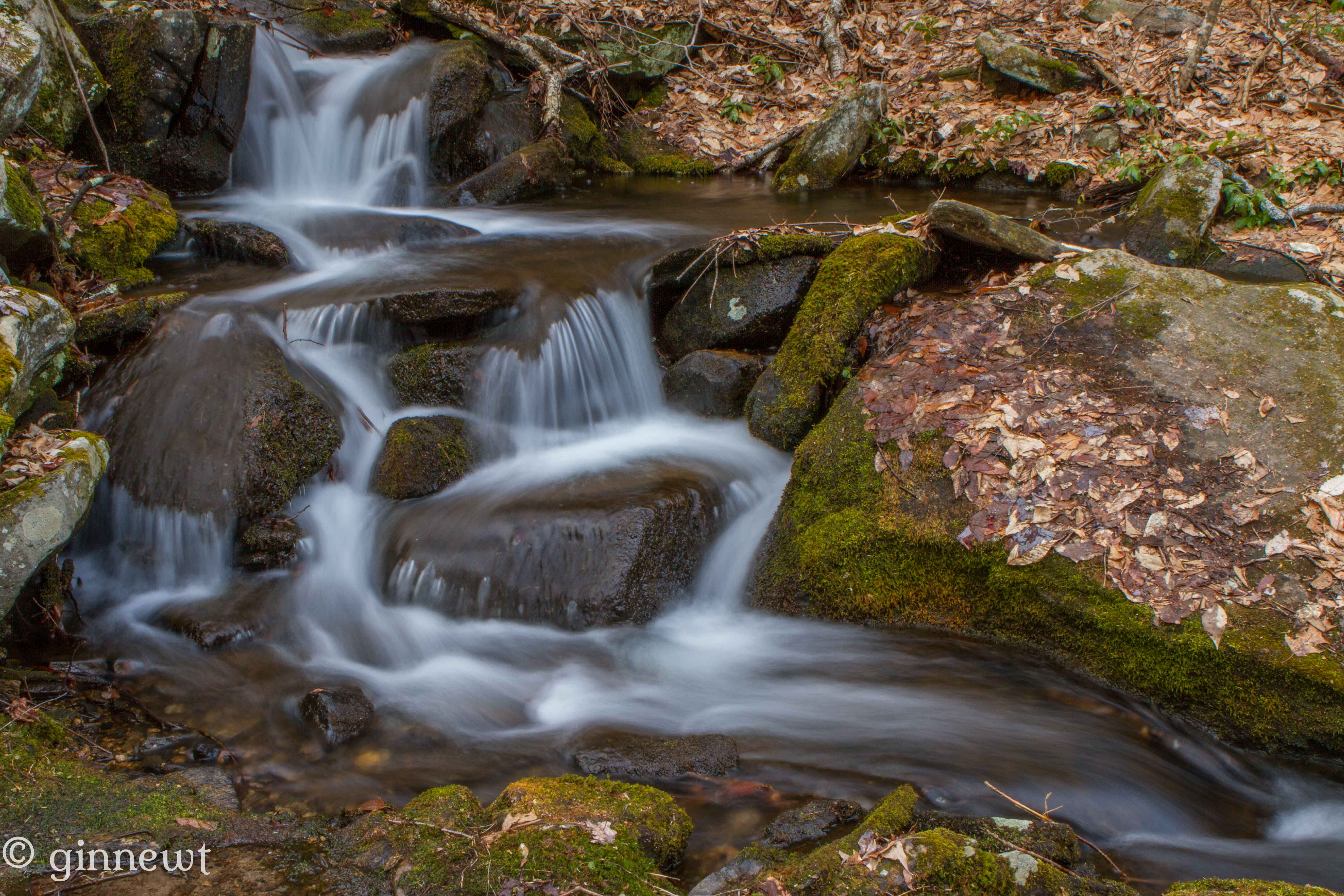
Trailside Cascade

watching the sunset, listening to killer mike, practicing my embroidery, and just living that #nofiltervacationlife #home #thankful
Crossing waters

Reflecting on Trees
Hermit's Minions

Fallen Face
Topographic Map of 71 N Main St, New Salem, MA, USA
Find elevation by address:

Places near 71 N Main St, New Salem, MA, USA:
167 N Main St
246 N Main St
New Salem
59 Gate Ln
197-199 Wendell Rd
55 Wendell Rd, Shutesbury, MA, USA
Shutesbury
42 Flat Rock Rd, Petersham, MA, USA
294 Pelham Hill Rd
64 W Rd
Quabbin Reservoir
6 West St
Petersham
23 Barre Rd
Carter Pond Rd, Petersham, MA, USA
Charity Hill Road
525 Old Dana Rd
41 Hall Rd
267 East St
600 Petersham Rd
Recent Searches:
- Elevation of Corso Fratelli Cairoli, 35, Macerata MC, Italy
- Elevation of Tallevast Rd, Sarasota, FL, USA
- Elevation of 4th St E, Sonoma, CA, USA
- Elevation of Black Hollow Rd, Pennsdale, PA, USA
- Elevation of Oakland Ave, Williamsport, PA, USA
- Elevation of Pedrógão Grande, Portugal
- Elevation of Klee Dr, Martinsburg, WV, USA
- Elevation of Via Roma, Pieranica CR, Italy
- Elevation of Tavkvetili Mountain, Georgia
- Elevation of Hartfords Bluff Cir, Mt Pleasant, SC, USA