Elevation of 65 Clayton Mill Rd, Deerfield, VA, USA
Location: United States > Virginia > Augusta County > Pastures >
Longitude: -79.42616
Latitude: 38.138024
Elevation: 574m / 1883feet
Barometric Pressure: 95KPa
Elevation Map:
Satellite Map:
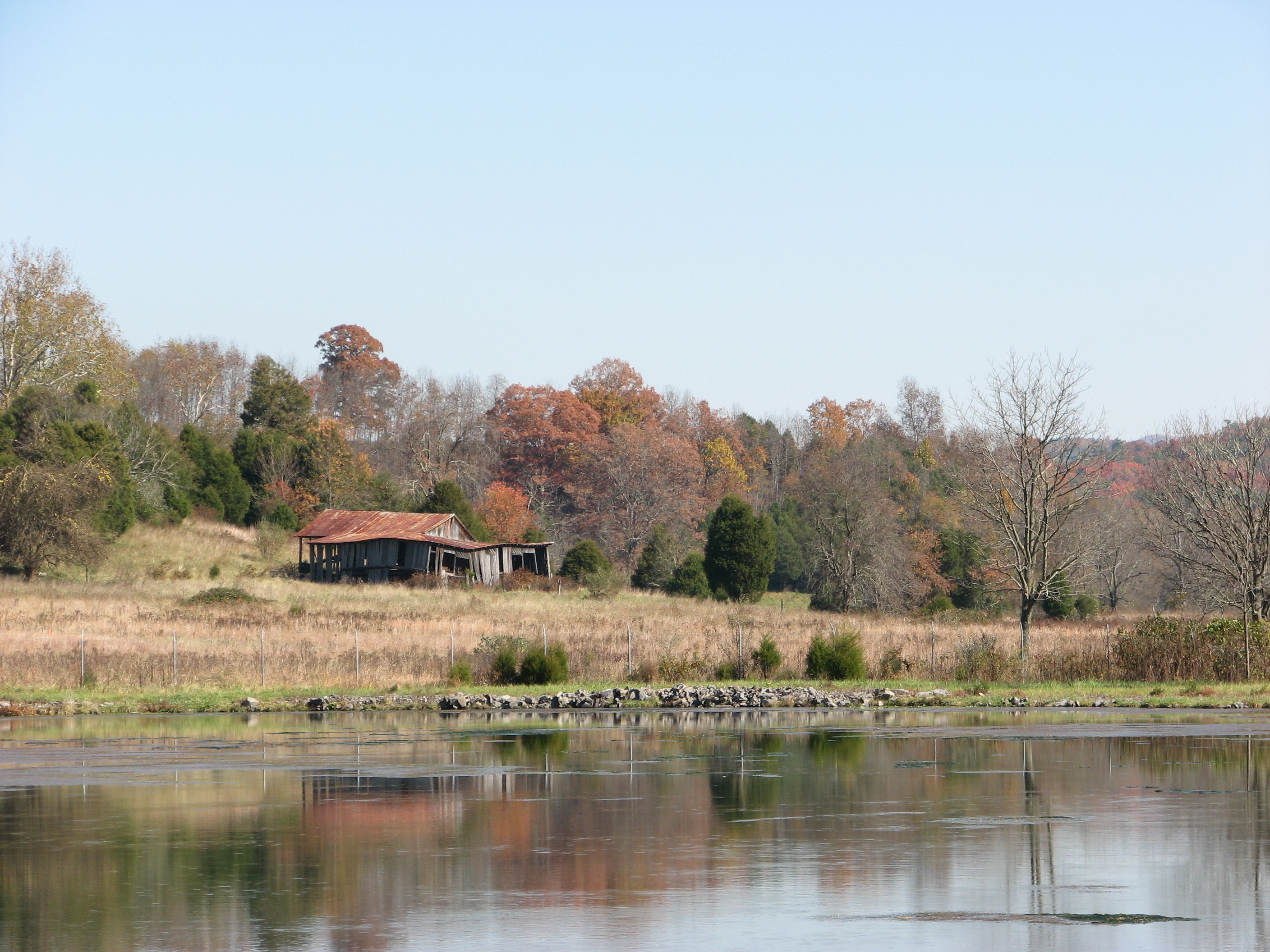
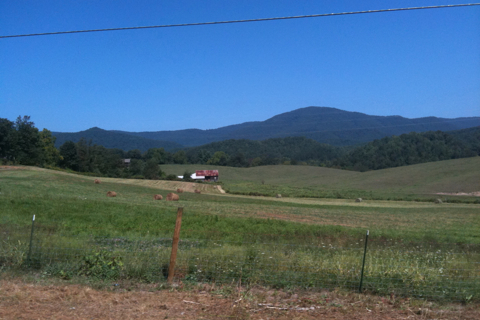
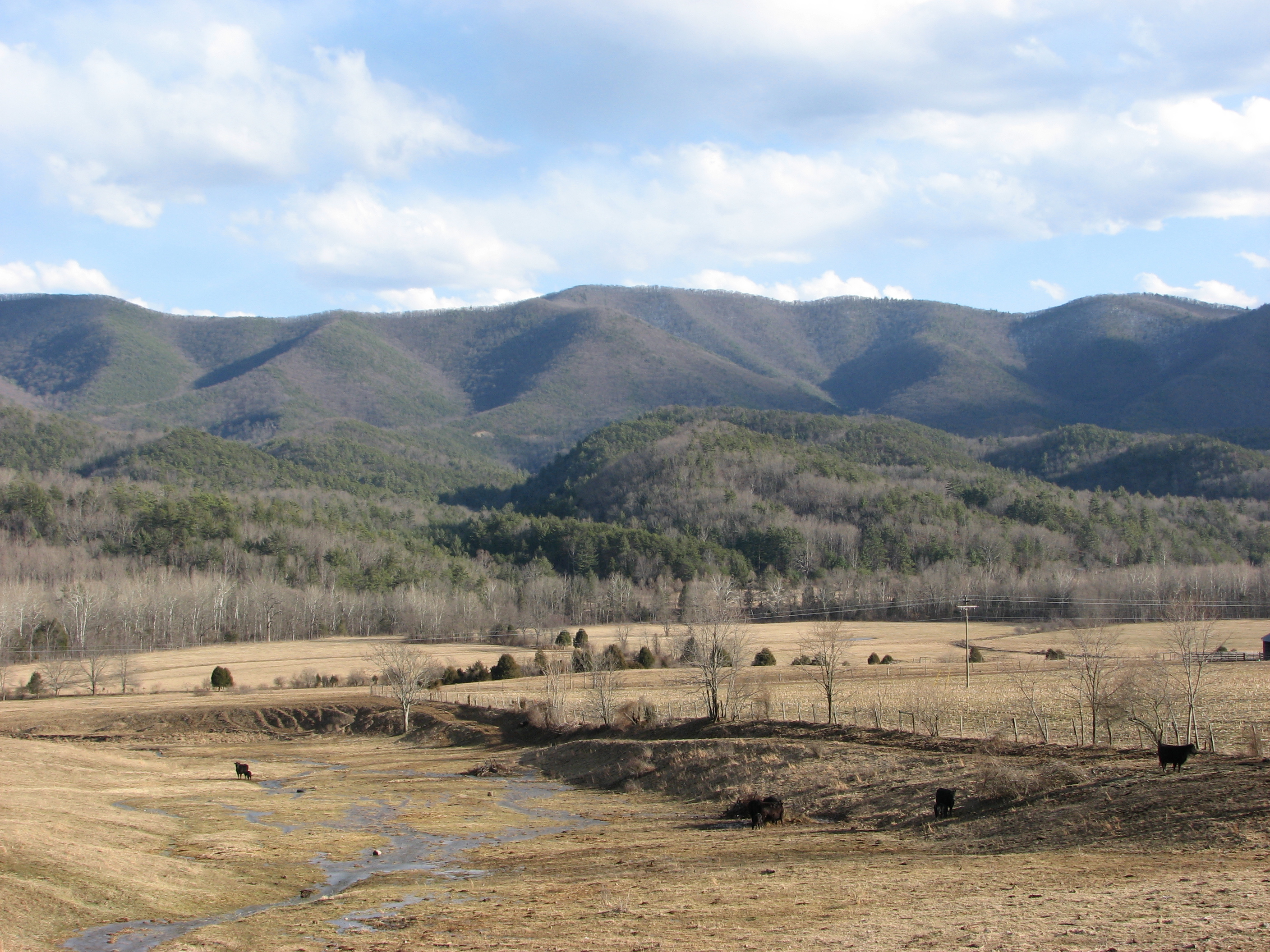
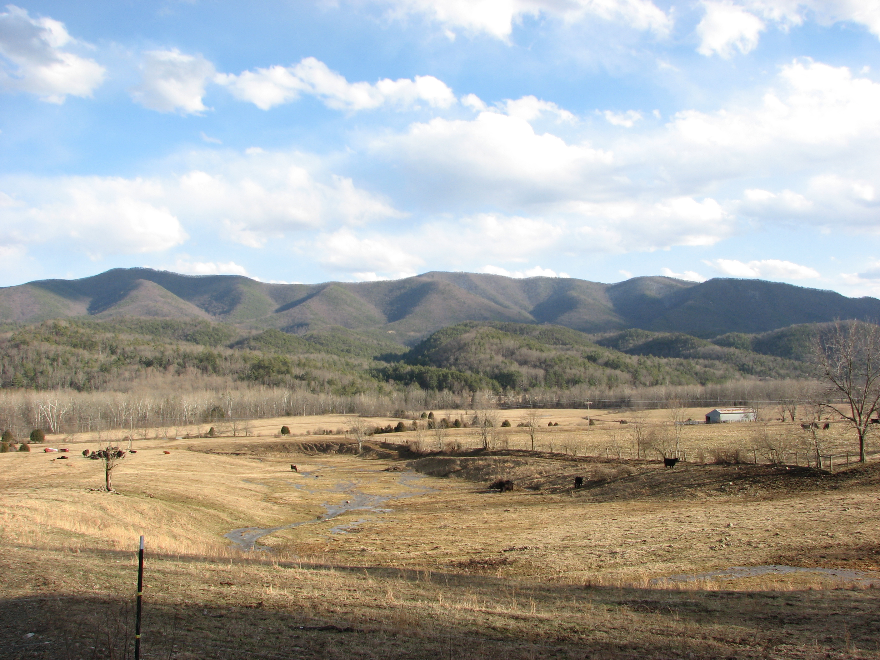
Related Photos:
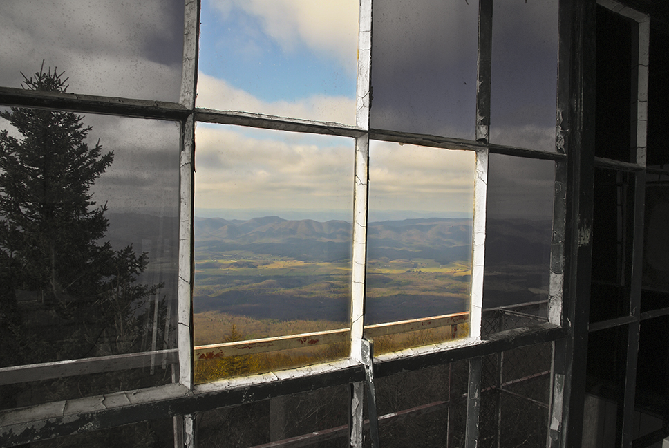
Out the Window
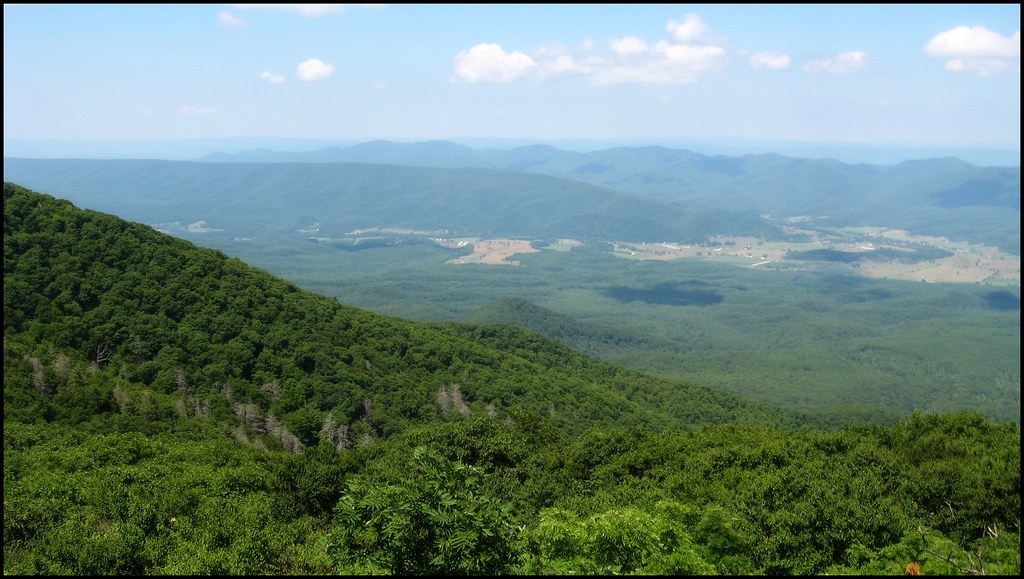
A View of Deerfield From Elliott Knob
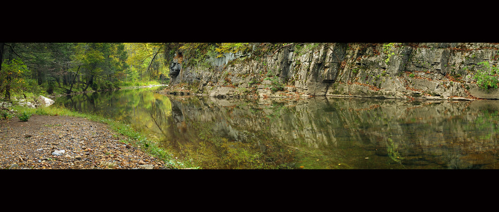
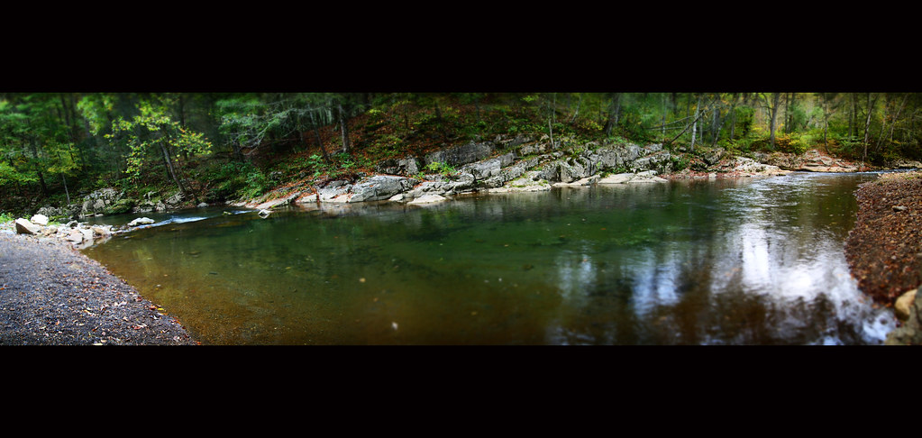
Bullpasture River Panorama
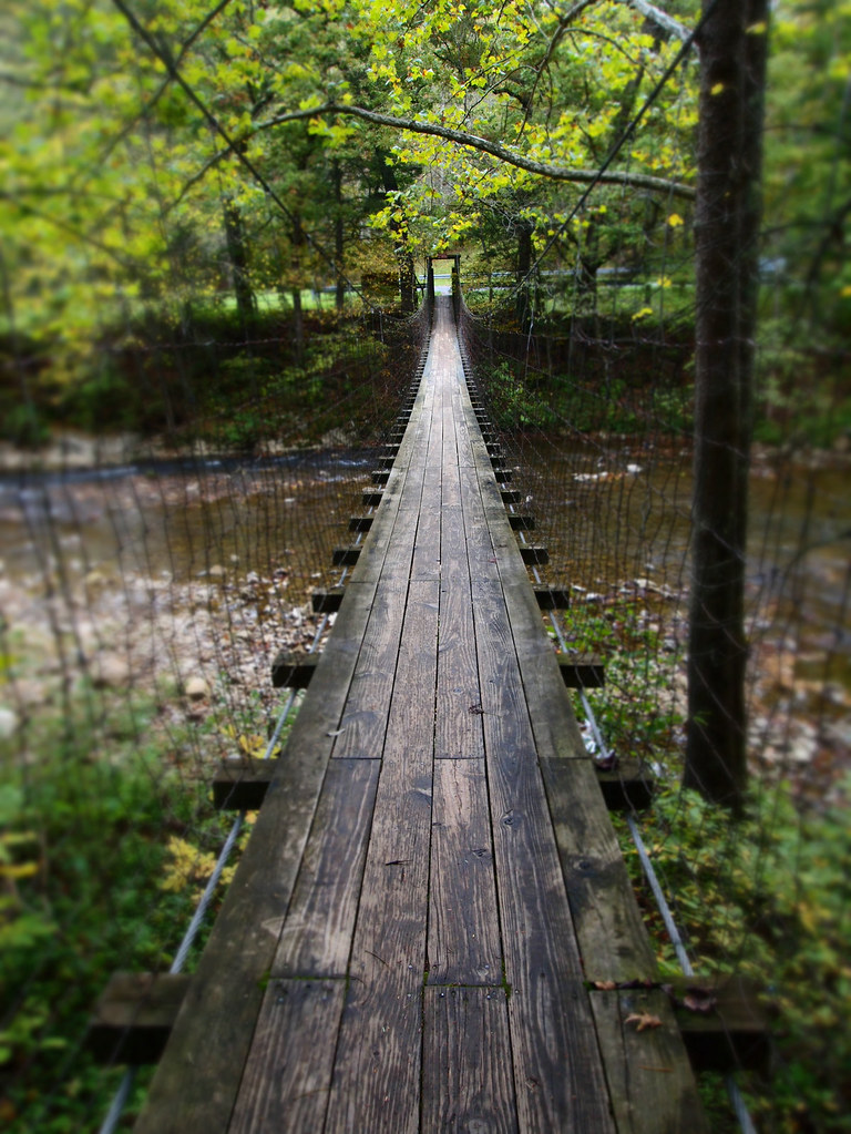
The Bullpasture River Gorge Footbridge
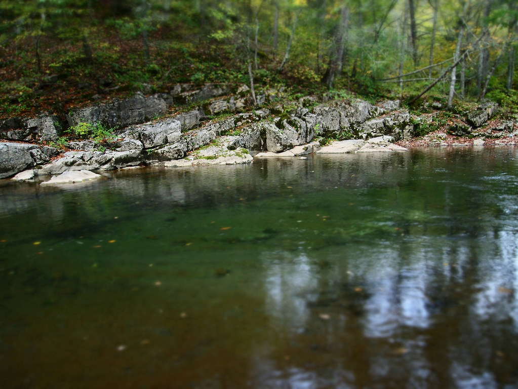
Bullpasture River Diorama Panorama
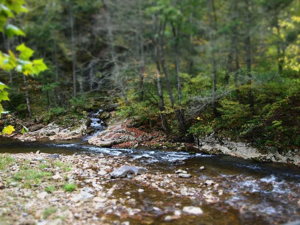
Bullpasture River
Bullpasture River
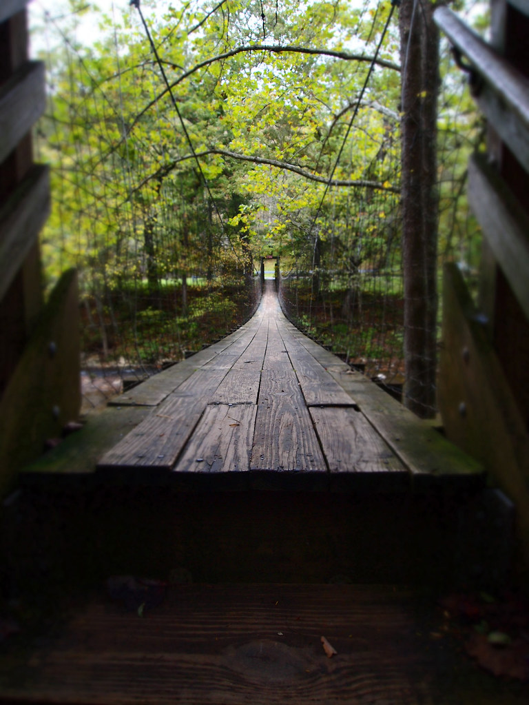
The Bullpasture River Gorge Footbridge

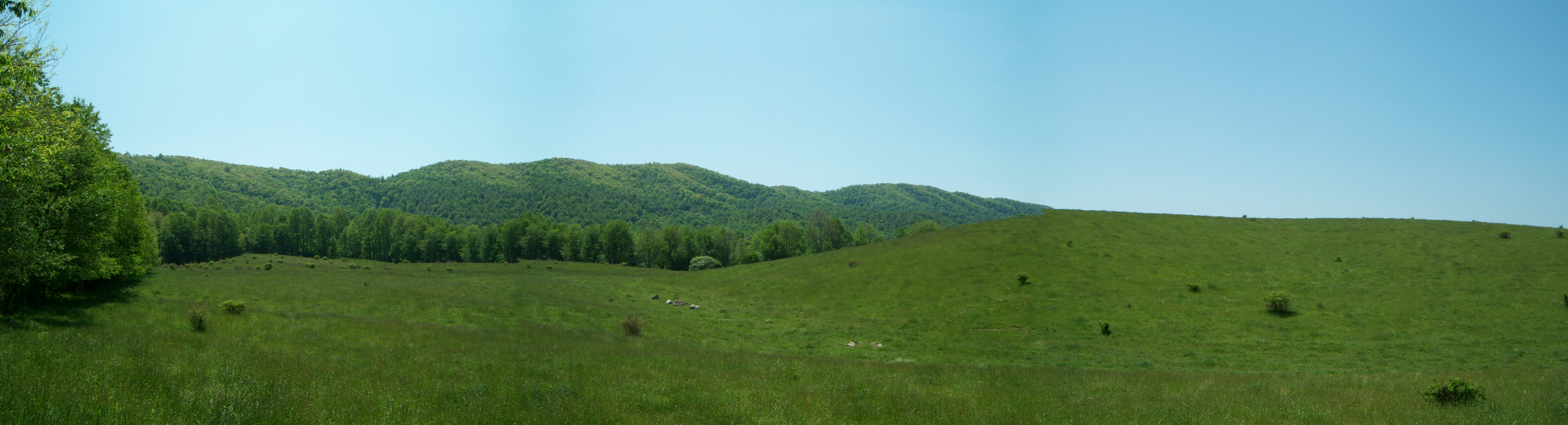
Our farm as viewed from the George Washington National Forest
Central VA

The old fire tower

Empties for West Virginia

IMG_2649.JPG
IMG_2663.JPG
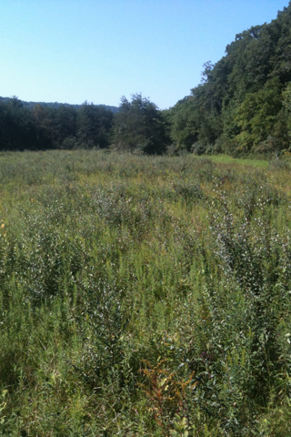
Virginia: Augusta Springs Wetland
IMG_2666.JPG
IMG_2651.JPG
Craigsville Virginia area
IMG_4820.JPG

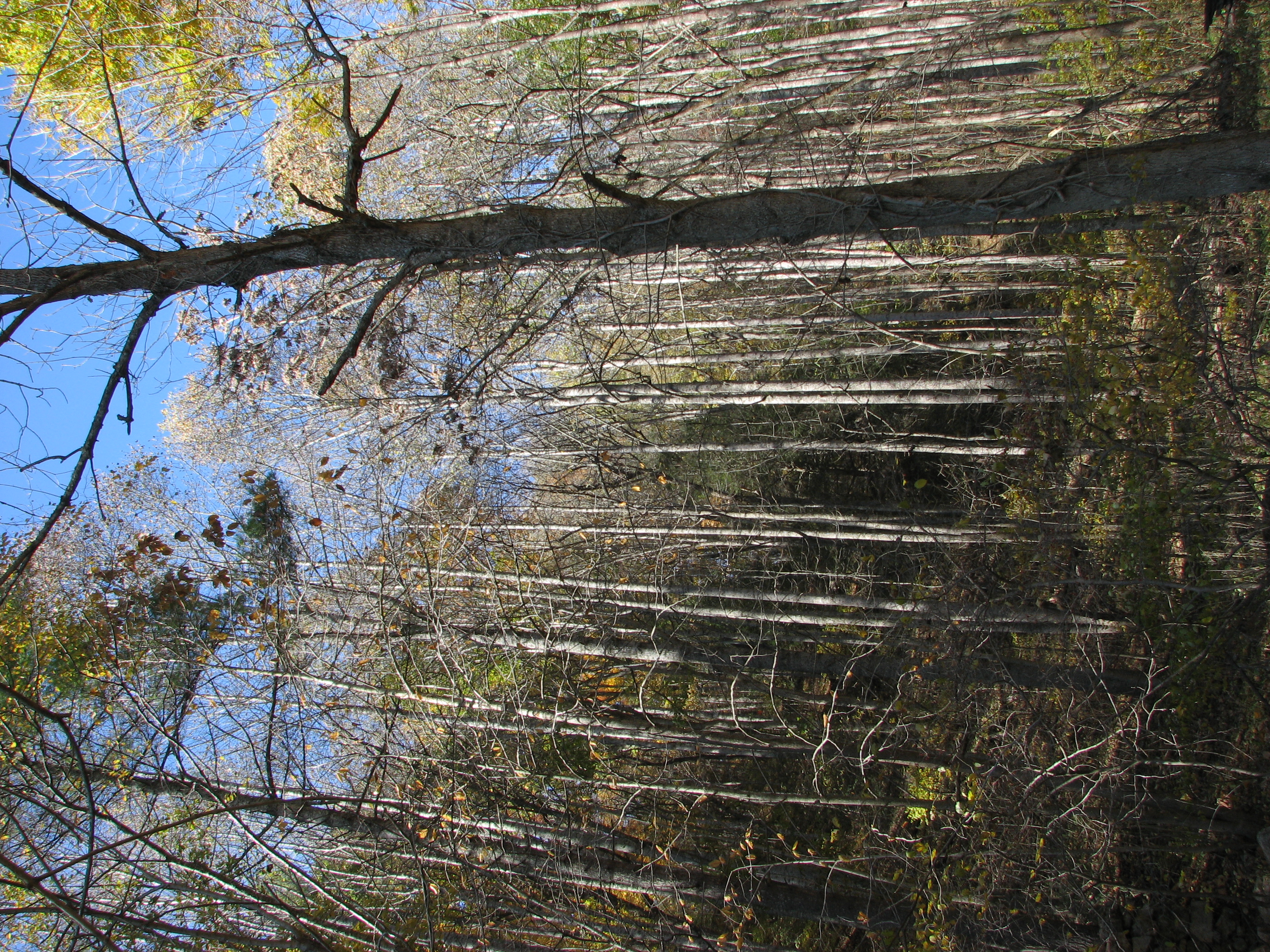
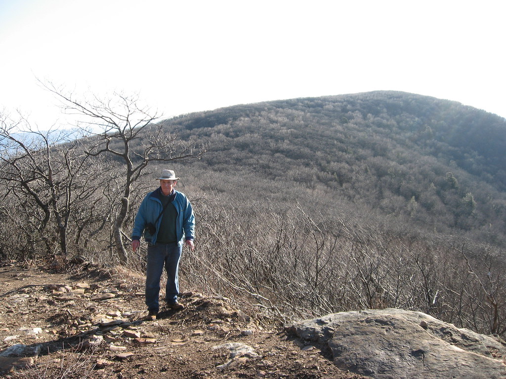
Going for a hike in the George Washington National Forest

Going for a hike in the George Washington National Forest
IMG_4819.JPG
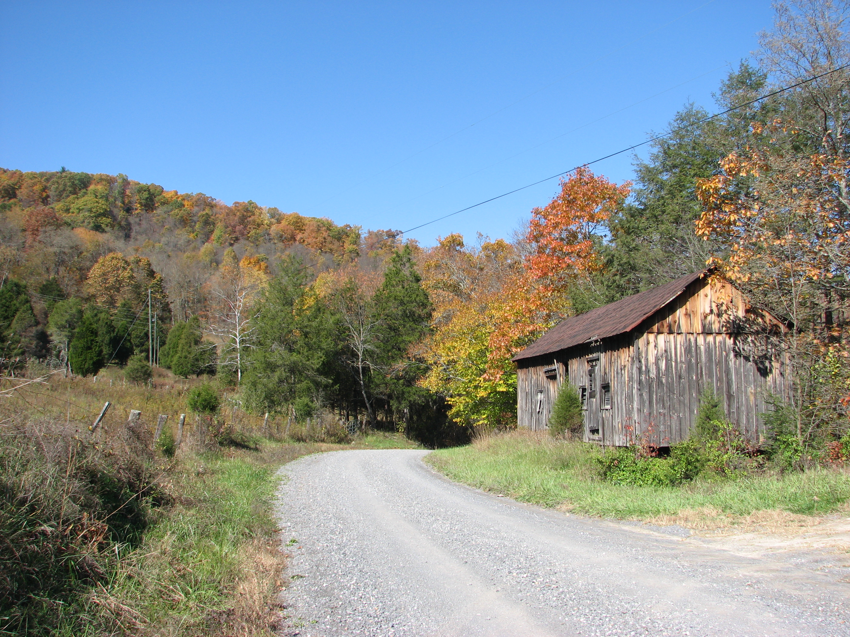
Road to the Top

Going for a hike in the George Washington National Forest
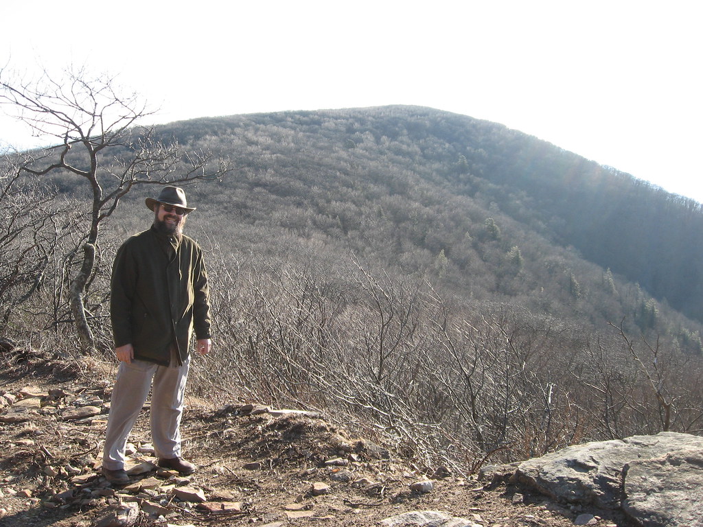
Road to the Top
Topographic Map of 65 Clayton Mill Rd, Deerfield, VA, USA
Find elevation by address:

Places near 65 Clayton Mill Rd, Deerfield, VA, USA:
650 Sulphur Springs Rd
290 Railroad Ave
Craigsville
19 Brown Ridge Ln, Craigsville, VA, USA
2490 Estaline Valley Rd
75 Little River Rd
34 Virginia Ave, Goshen, VA, USA
1595 Little River Rd
2490 Little Calf Pasture Hwy
Little Calf Pasture Hwy, Swoope, VA, USA
Millard Burke Memorial Highway
500 Mt Hermon Rd
445 Mt Hermon Rd
400 Mt Hermon Rd
300 Mt Hermon Rd
753 High Rock Rd
88 Mt Hermon Rd
579 Shirey Rd
Middlebrook
22 Cherry Grove Rd, Middlebrook, VA, USA
Recent Searches:
- Elevation of Congressional Dr, Stevensville, MD, USA
- Elevation of Bellview Rd, McLean, VA, USA
- Elevation of Stage Island Rd, Chatham, MA, USA
- Elevation of Shibuya Scramble Crossing, 21 Udagawacho, Shibuya City, Tokyo -, Japan
- Elevation of Jadagoniai, Kaunas District Municipality, Lithuania
- Elevation of Pagonija rock, Kranto 7-oji g. 8"N, Kaunas, Lithuania
- Elevation of Co Rd 87, Jamestown, CO, USA
- Elevation of Tenjo, Cundinamarca, Colombia
- Elevation of Côte-des-Neiges, Montreal, QC H4A 3J6, Canada
- Elevation of Bobcat Dr, Helena, MT, USA