Elevation of 65 12th St NW, Pine City, MN, USA
Location: United States > Minnesota > Pine County > Pine City >
Longitude: -92.979786
Latitude: 45.8294033
Elevation: 286m / 938feet
Barometric Pressure: 98KPa
Elevation Map:
Satellite Map:
Related Photos:

DME 6091

Clouds & Pines near Pine City
Northwoods Flare

Sunrise, Pokegema Lake, Pine City, MN

BNSF 1943 Henriette

MILW 261 at Grasston, MN
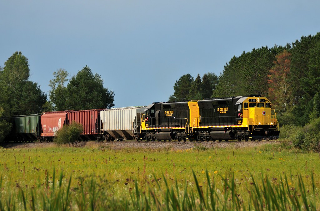
St Croix Valley, Pine City

Skally Line Over the Snake

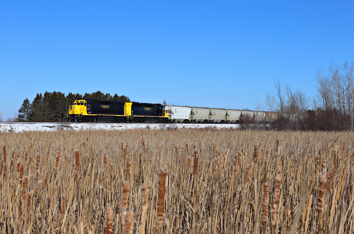
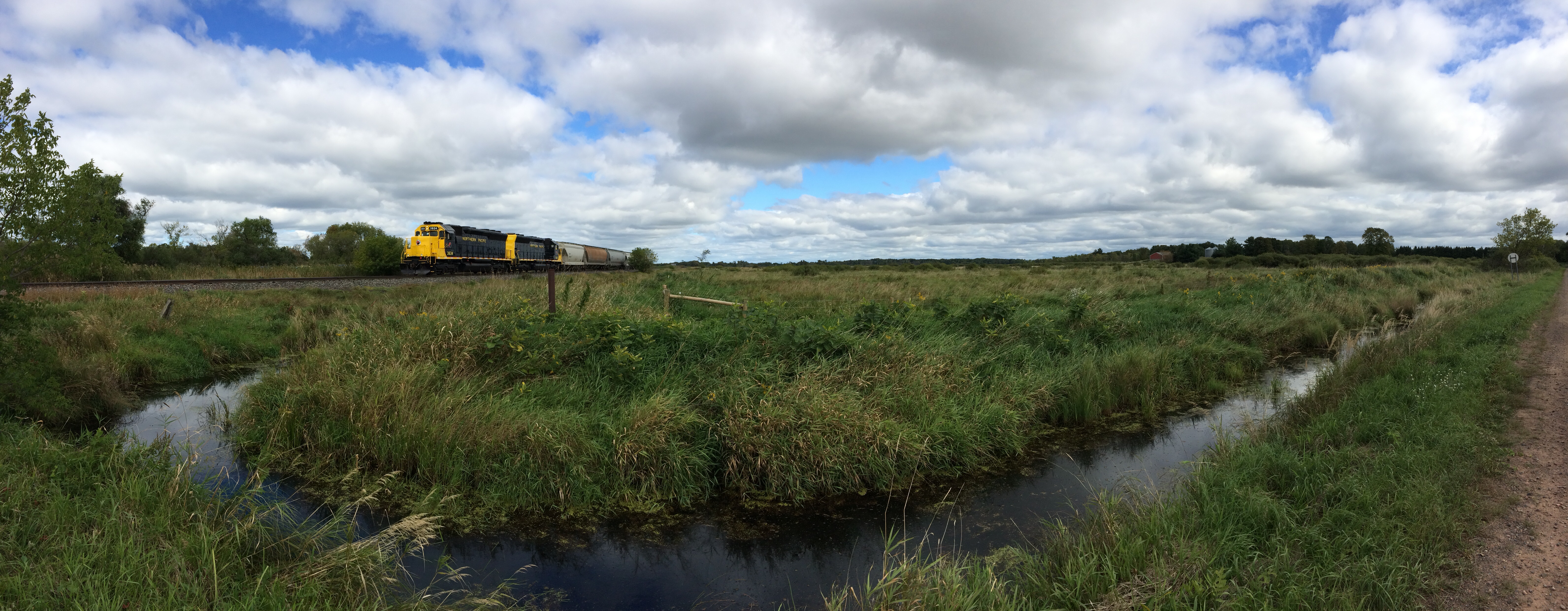
BNSF 2021, 3002, 1919. at Grasston

UP 7302 at Grasston

4th of July Sunset

Sunset,10_24_14_21_1600

CNW Patch Job + CP Beaver; Grasston, MN

Cross Lake

Sunrise, 11_4_2011 2
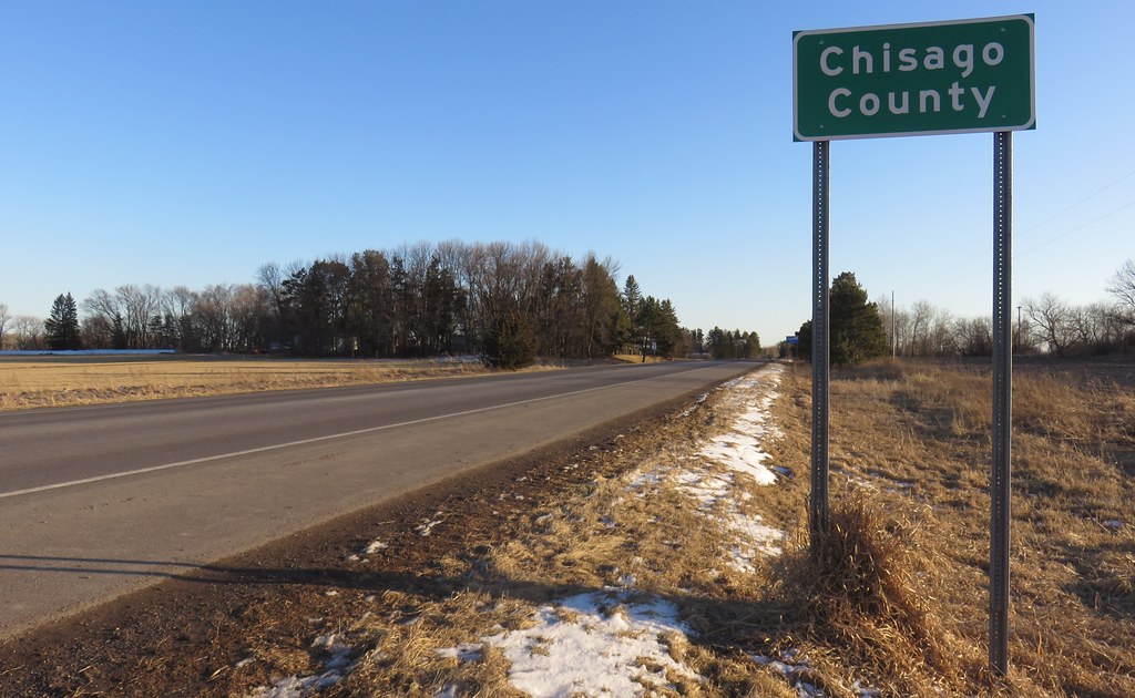
Entering Chisago County (Chisago County, Minnesota)
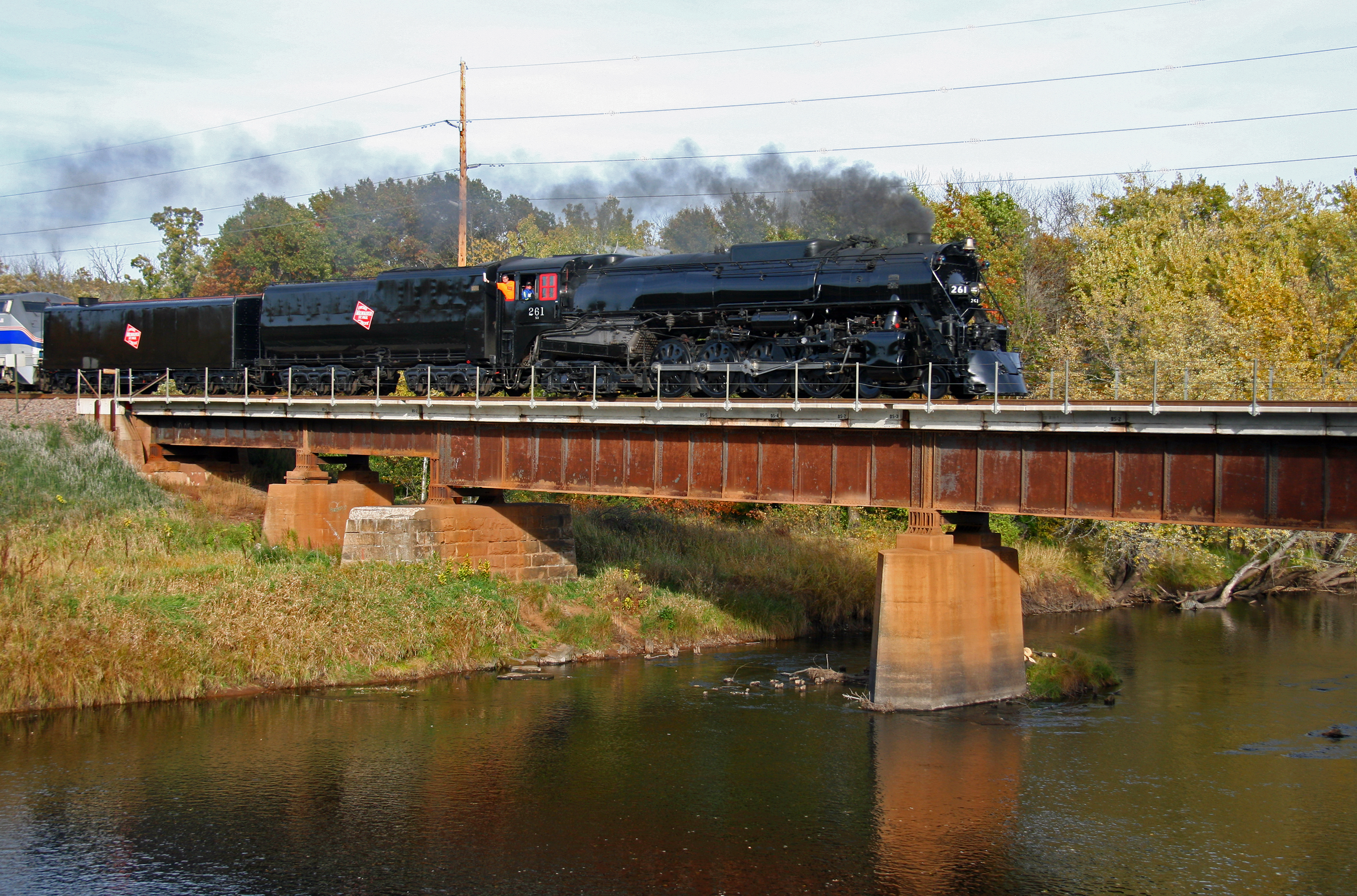
No. 261 Crossing the Snake River
Hinckley, Minnesota

Moon Sunset (Phone Camera)
Topographic Map of 65 12th St NW, Pine City, MN, USA
Find elevation by address:

Places near 65 12th St NW, Pine City, MN, USA:
S 3rd Ave, Pine City, MN, USA
Pine City
21007 St Croix Rd
Pine City Township
S Dana Ave, Rush City, MN, USA
Rush City
51662 Birch Ave
Nessel Township
Hinckley
rd Ave, Braham, MN, USA
9588 475th St
Rush Point Dr, Stanchfield, MN, USA
Braham
Main St S, Braham, MN, USA
Fish Lake Township
2362 Crescent Rd
Grass Lake Township
Forest Blvd, Harris, MN, USA
Harris
31624 Wittenberg St
Recent Searches:
- Elevation of Tenjo, Cundinamarca, Colombia
- Elevation of Côte-des-Neiges, Montreal, QC H4A 3J6, Canada
- Elevation of Bobcat Dr, Helena, MT, USA
- Elevation of Zu den Ihlowbergen, Althüttendorf, Germany
- Elevation of Badaber, Peshawar, Khyber Pakhtunkhwa, Pakistan
- Elevation of SE Heron Loop, Lincoln City, OR, USA
- Elevation of Slanický ostrov, 01 Námestovo, Slovakia
- Elevation of Spaceport America, Co Rd A, Truth or Consequences, NM, USA
- Elevation of Warwick, RI, USA
- Elevation of Fern Rd, Whitmore, CA, USA