Elevation of Rush Point Dr, Stanchfield, MN, USA
Location: United States > Minnesota > Chisago County > Nessel Township >
Longitude: -93.104059
Latitude: 45.6591361
Elevation: 289m / 948feet
Barometric Pressure: 98KPa
Elevation Map:
Satellite Map:
Related Photos:
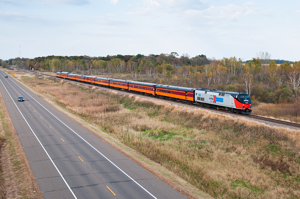
Amtrak 156 Cambridge

lensbaby_03302010-2

Sunset Landscape

Sunset Reflection

Landscape Photography.

Sunset Landscape

Game Over

Panoramic Sunset Landscape.

Sunset Landscape

Sunset Landscape

Sunset Landscape

Sunset Landscape

Sunrise Landscape

Sunrise Landscape

Sunrise Tree

Sunset Landscape

Sunset Landscape

Sunset Landscape

Sunrise Landscape

Sunrise Landscape

Sunset Landscape

Sunrise Landscape

Sunrise Landscape
Topographic Map of Rush Point Dr, Stanchfield, MN, USA
Find elevation by address:

Places near Rush Point Dr, Stanchfield, MN, USA:
Nessel Township
51662 Birch Ave
Fish Lake Township
2362 Crescent Rd
Braham
Main St S, Braham, MN, USA
32158 Lever St Ne
Rendova Cir NE, Cambridge, MN, USA
31624 Wittenberg St
rd Ave, Braham, MN, USA
Rush City
S Dana Ave, Rush City, MN, USA
Grass Lake Township
Harris
Forest Blvd, Harris, MN, USA
The Scotsman
Isanti County
Cambridge
North Branch Township
Tucker St NE, Isanti, MN, USA
Recent Searches:
- Elevation of Elwyn Dr, Roanoke Rapids, NC, USA
- Elevation of Congressional Dr, Stevensville, MD, USA
- Elevation of Bellview Rd, McLean, VA, USA
- Elevation of Stage Island Rd, Chatham, MA, USA
- Elevation of Shibuya Scramble Crossing, 21 Udagawacho, Shibuya City, Tokyo -, Japan
- Elevation of Jadagoniai, Kaunas District Municipality, Lithuania
- Elevation of Pagonija rock, Kranto 7-oji g. 8"N, Kaunas, Lithuania
- Elevation of Co Rd 87, Jamestown, CO, USA
- Elevation of Tenjo, Cundinamarca, Colombia
- Elevation of Côte-des-Neiges, Montreal, QC H4A 3J6, Canada