Elevation of 61 Sky High Dr, Blairsville, GA, USA
Location: United States > Georgia > Union County > Blairsville >
Longitude: -83.939295
Latitude: 34.8016145
Elevation: 694m / 2277feet
Barometric Pressure: 93KPa
Elevation Map:
Satellite Map:
Related Photos:

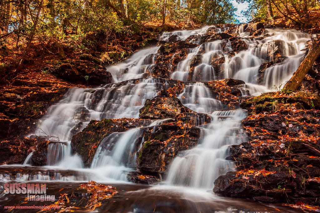
Dodd Creek Falls

Don't Look Back

Dick's Creek Falls

Maindenhair Falls

Maidenhair Falls

Maidenhair Falls

Dodd Creek Falls

Dodd Creek Falls

Autumn at Dockery Lake

Color of Autumn at Dockery Lake

Maidenhair Falls

Lower Falls Helton Creek

Dodd Creek Falls

Maindenhair Falls

Sweet White Trillium

Upper Helton Creek Falls

Horsetrough Falls

Maidenhair Falls

Dodd Creek Falls
Wolf Creek Falls

Faucet Falls

Maidenhair Falls

Dockery Lake Reflections

Horsetrough Falls
Topographic Map of 61 Sky High Dr, Blairsville, GA, USA
Find elevation by address:

Places near 61 Sky High Dr, Blairsville, GA, USA:
27 Sky High Dr
Sky High Cabin
162 Fortenberry Creek Rd
266 Fortenberry Rd
57 Echo Valley
Moon Ridge
147 Kirksey Cove Rd
187 Moon Ridge
Flat Rock Gap Road
1109 Flat Rock Gap Rd
89 Wilson Mountain Summit
708 Wilson Mountain Rd
Wilson Mountain Road
96 Wilson Mountain Rd
Flat Rock Ridge Road
708 Wilson Mountain Rd
708 Wilson Mountain Rd
708 Wilson Mountain Rd
236 Flat Rock Ridge Rd
Sosebee Cove
Recent Searches:
- Elevation of Crystal Cir, Birmingham, AL, USA
- Elevation of N Railroad Ave, West Palm Beach, FL, USA
- Elevation of 55 Cassick Valley Rd, Wellfleet, MA, USA
- Elevation of Ironwood Dr, Minden, NV, USA
- Elevation of 高尾山口駅, Takaomachi, Hachioji, Tokyo -, Japan
- Elevation of 15 Victory Ave, Greenville, SC, USA
- Elevation of Kota Ternate Utara, Ternate City, North Maluku, Indonesia
- Elevation of Allon St, Oceanside, NY, USA
- Elevation of Carroll Creek Rd, Custer, SD, USA
- Elevation of Lust Road, Lust Rd, Florida, USA