Elevation of 60 Cliff View Ln, Independence, VA, USA
Location: United States > Virginia > Grayson County > Elk Creek > Independence >
Longitude: -81.057849
Latitude: 36.6070182
Elevation: 723m / 2372feet
Barometric Pressure: 93KPa
Elevation Map:
Satellite Map:
Related Photos:
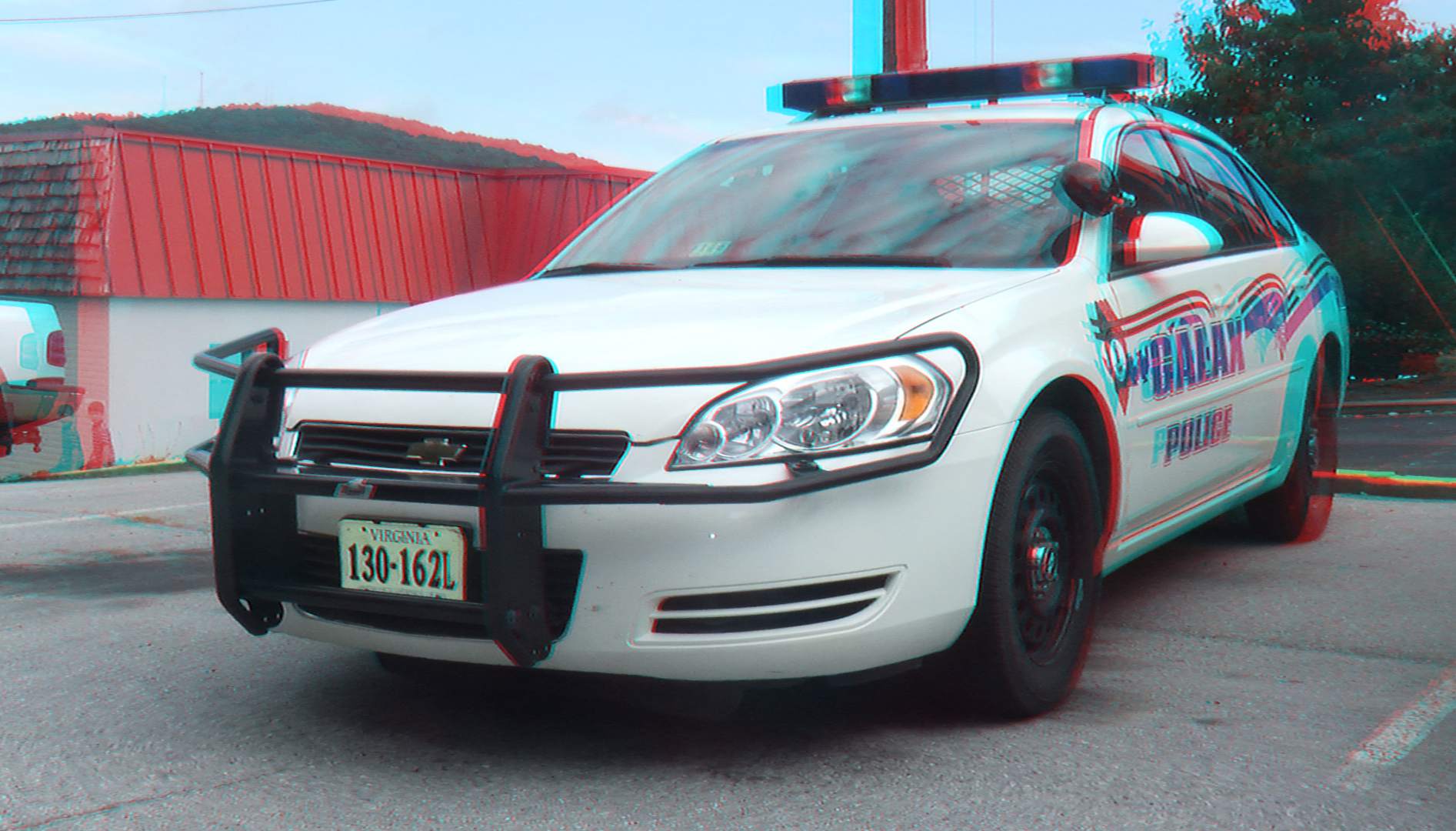
3D Galax Police Car
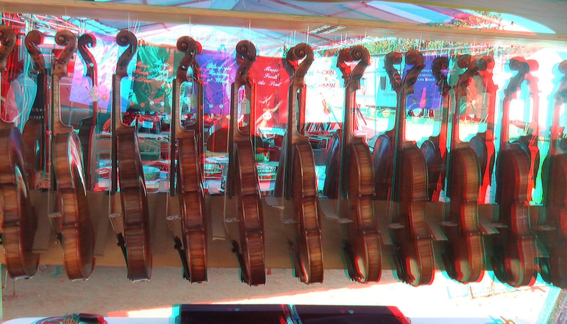
3D 76th Annual Old Fiddlers' Convention
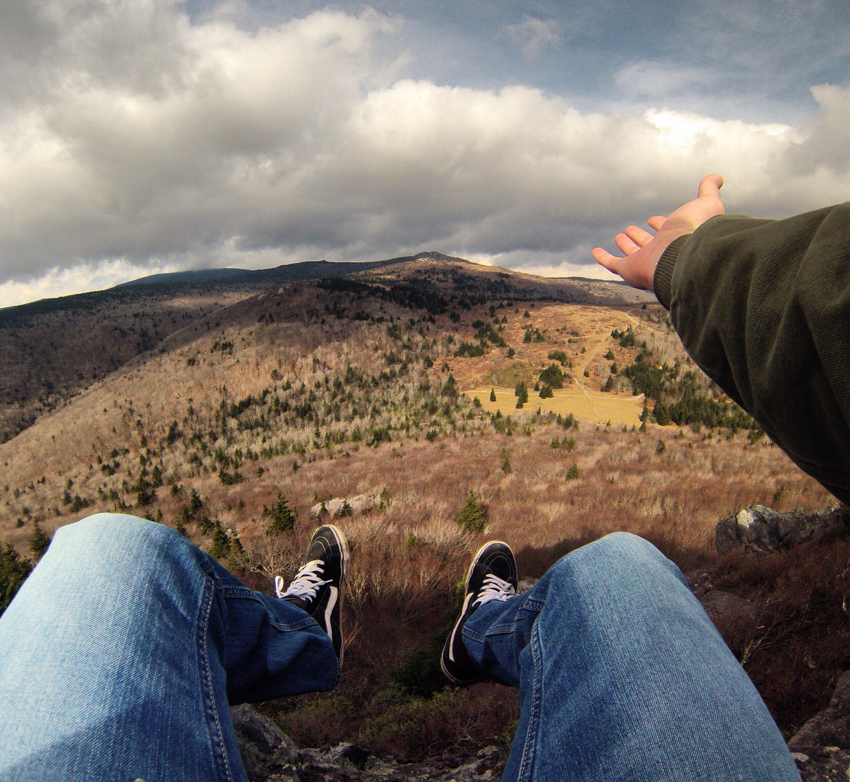
Mount Rogers
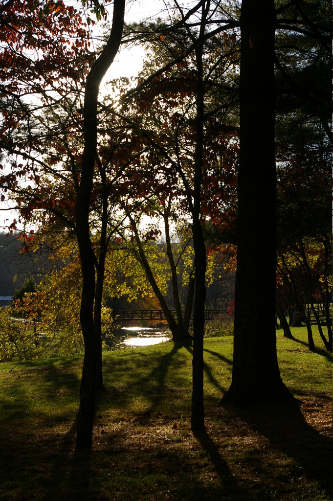
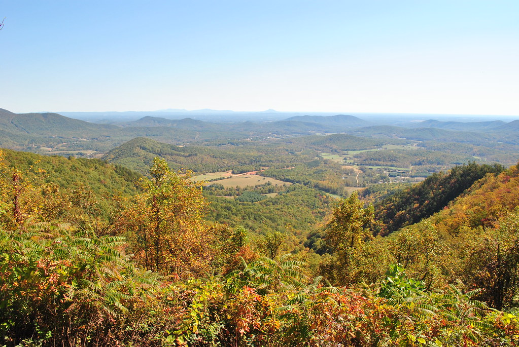
The view from our camp at Cliffview

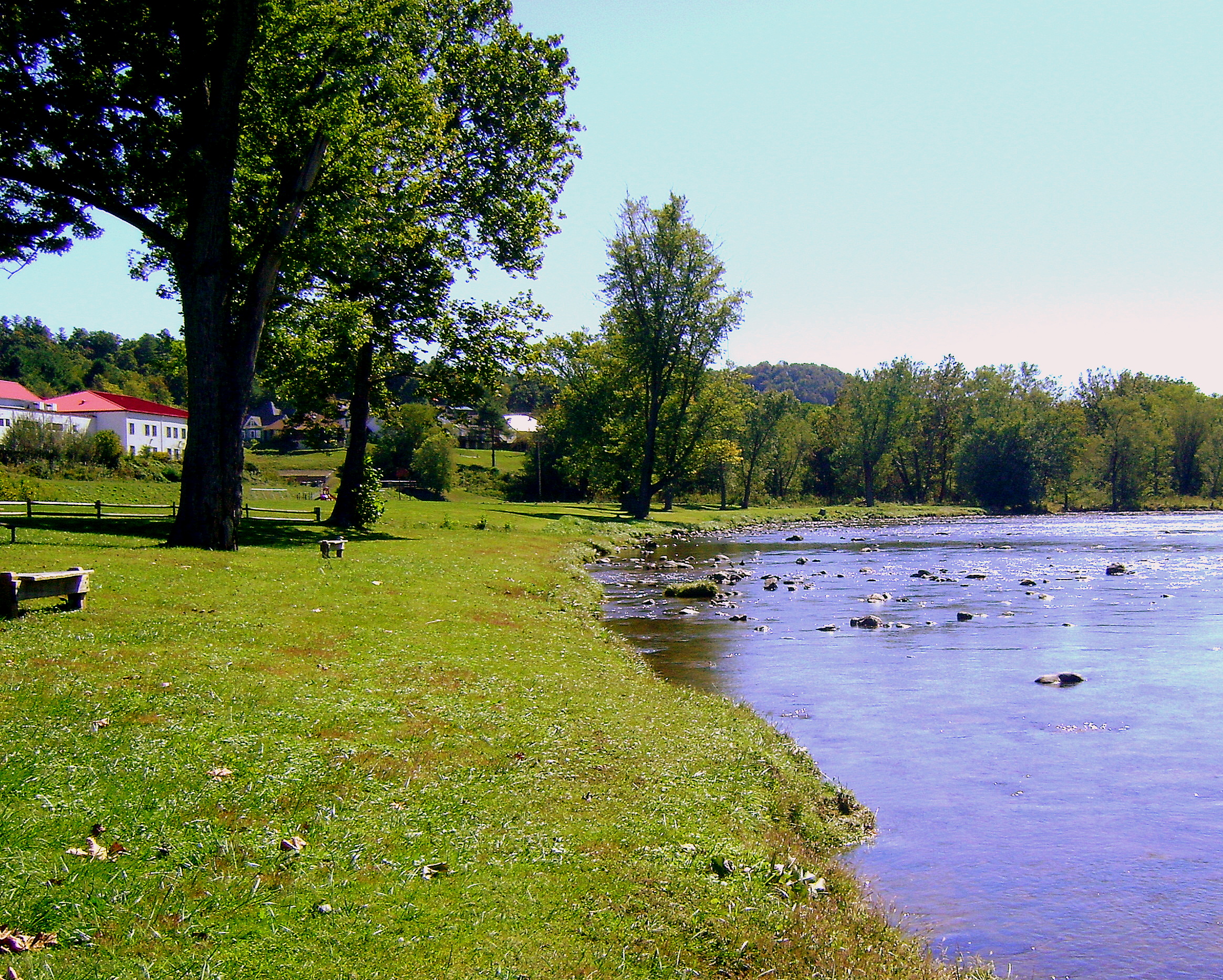
River views house

Pilot Mountain
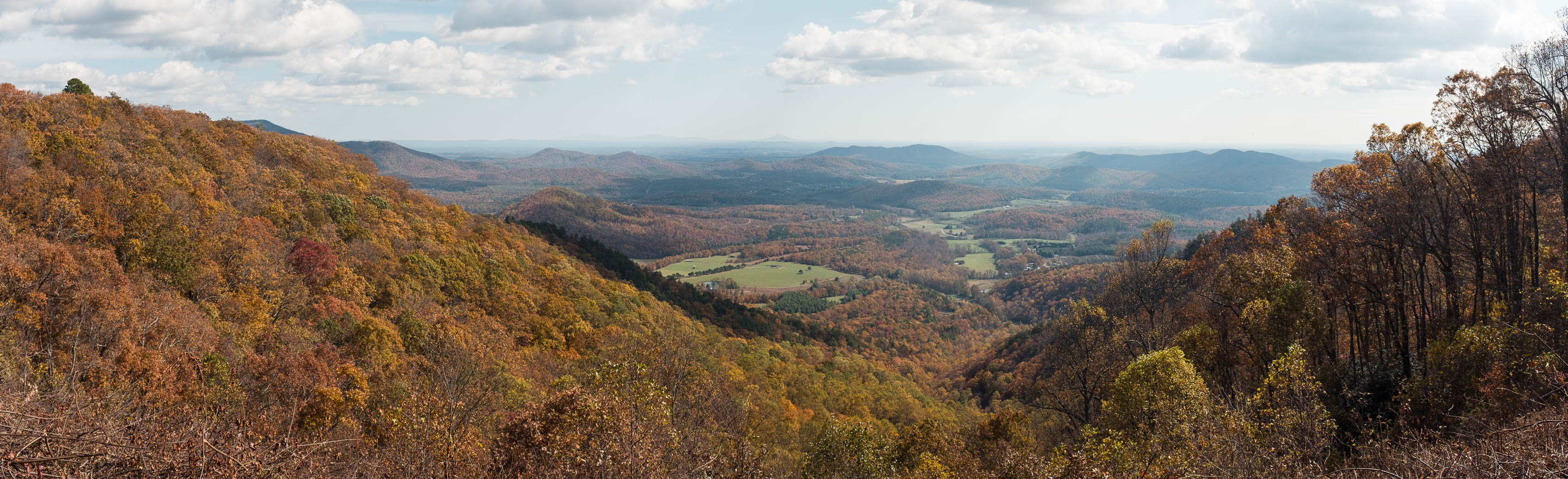
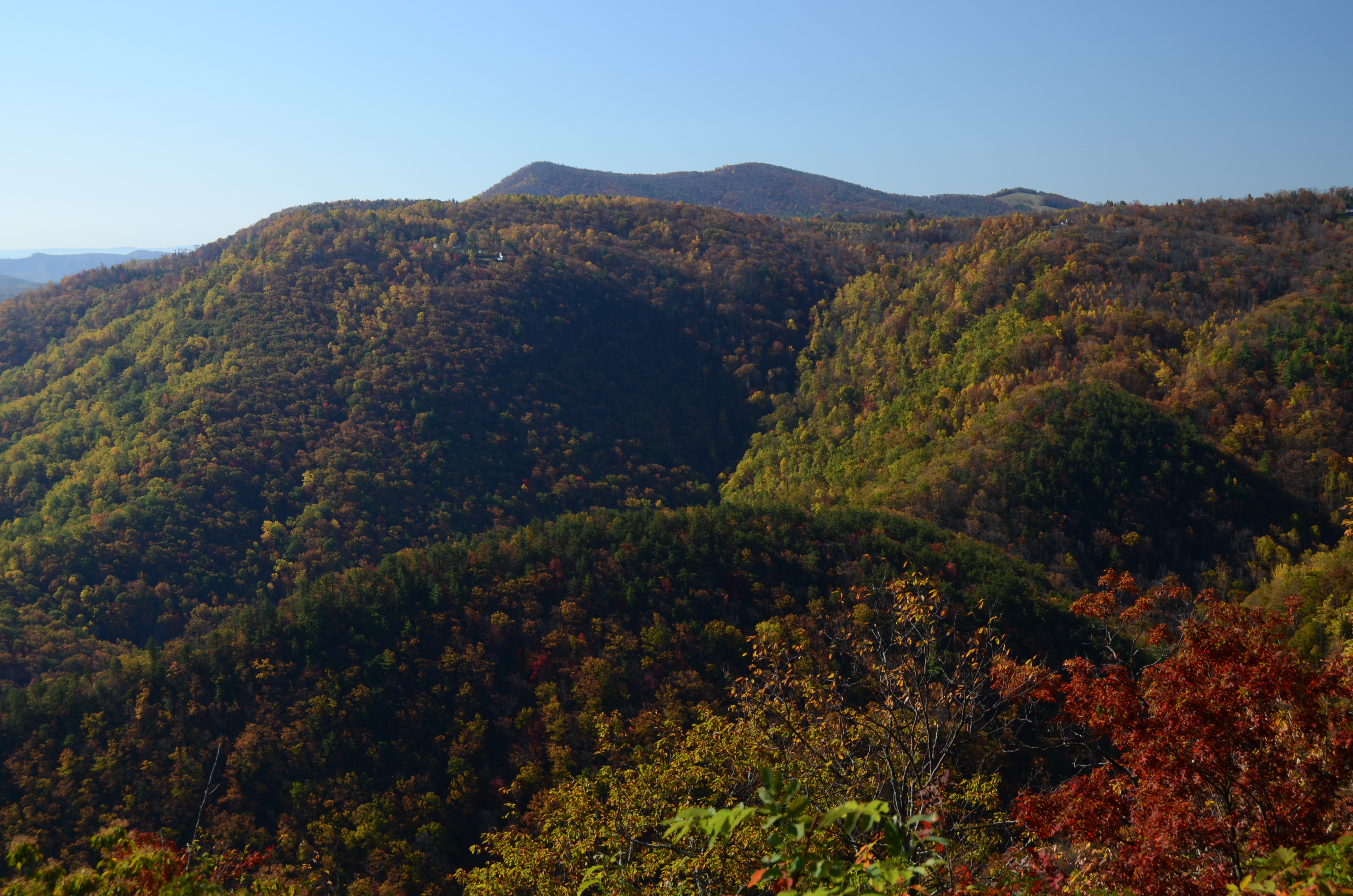
PARKWAY VIEW

SCENIC VIEW
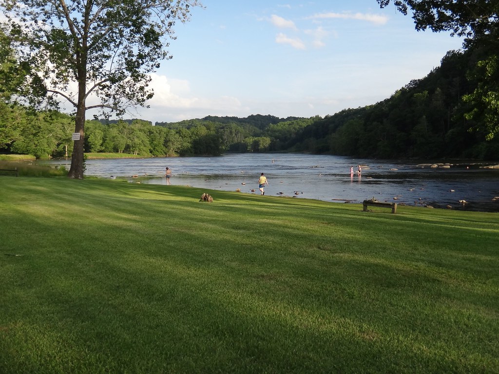
River views campground
view from park at fries
DSCF3911-Pano.jpg

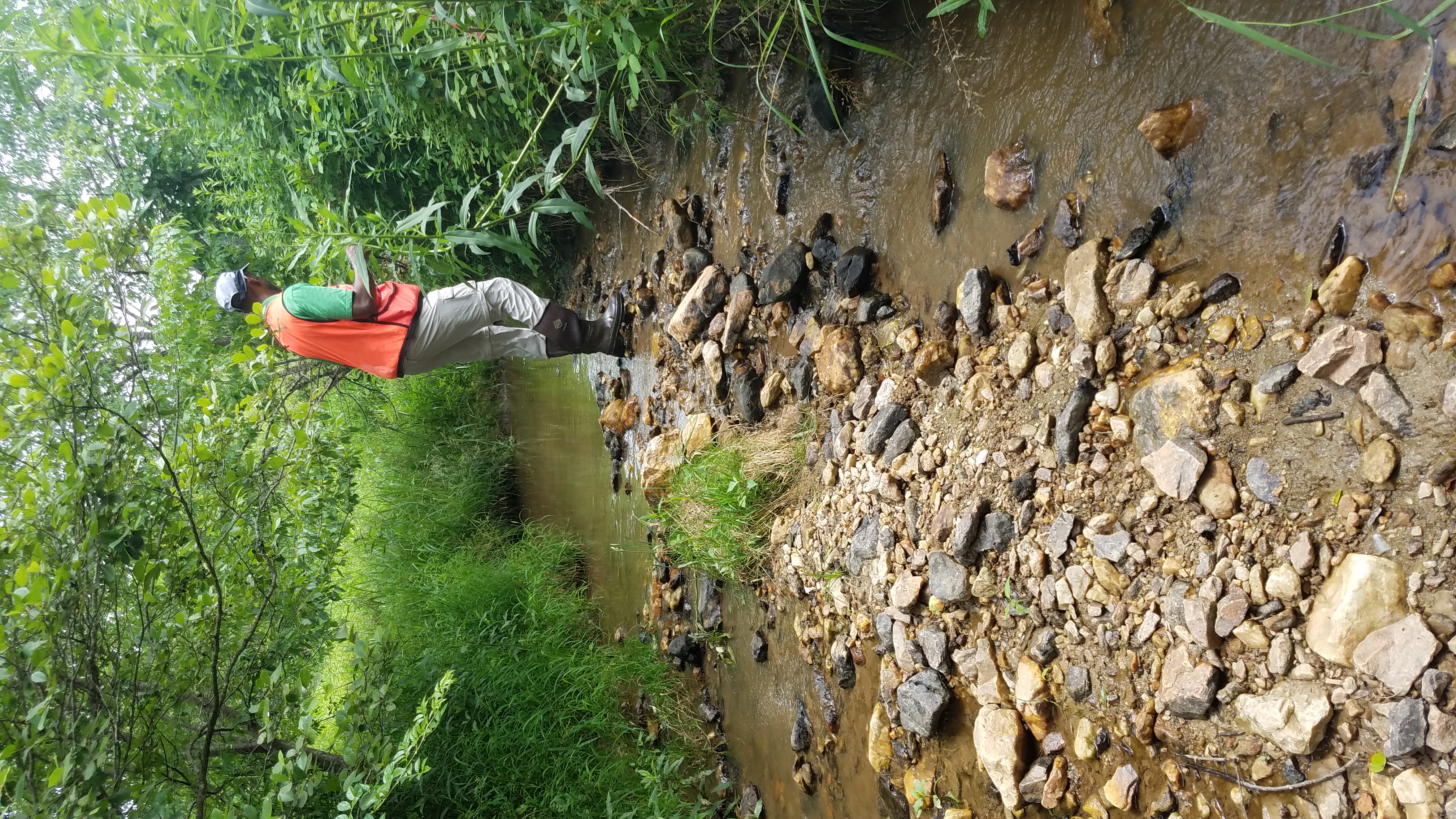
Gully Creek
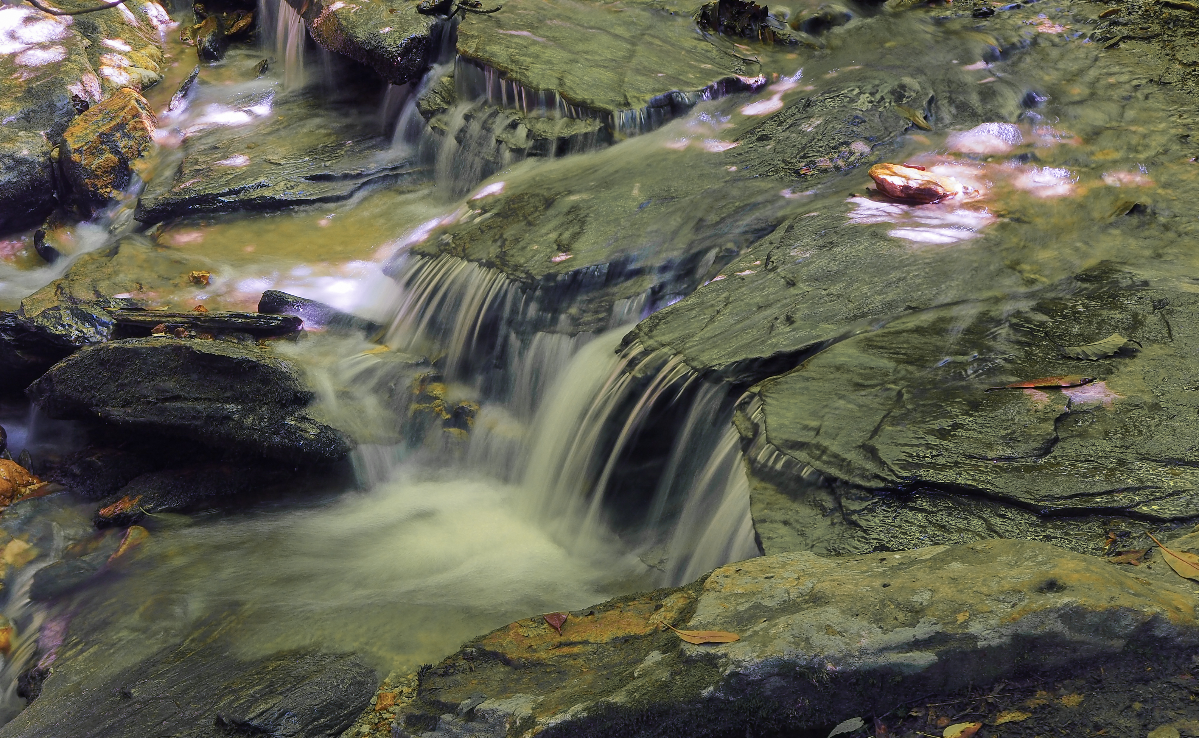
Gully Creek
Gully Creek
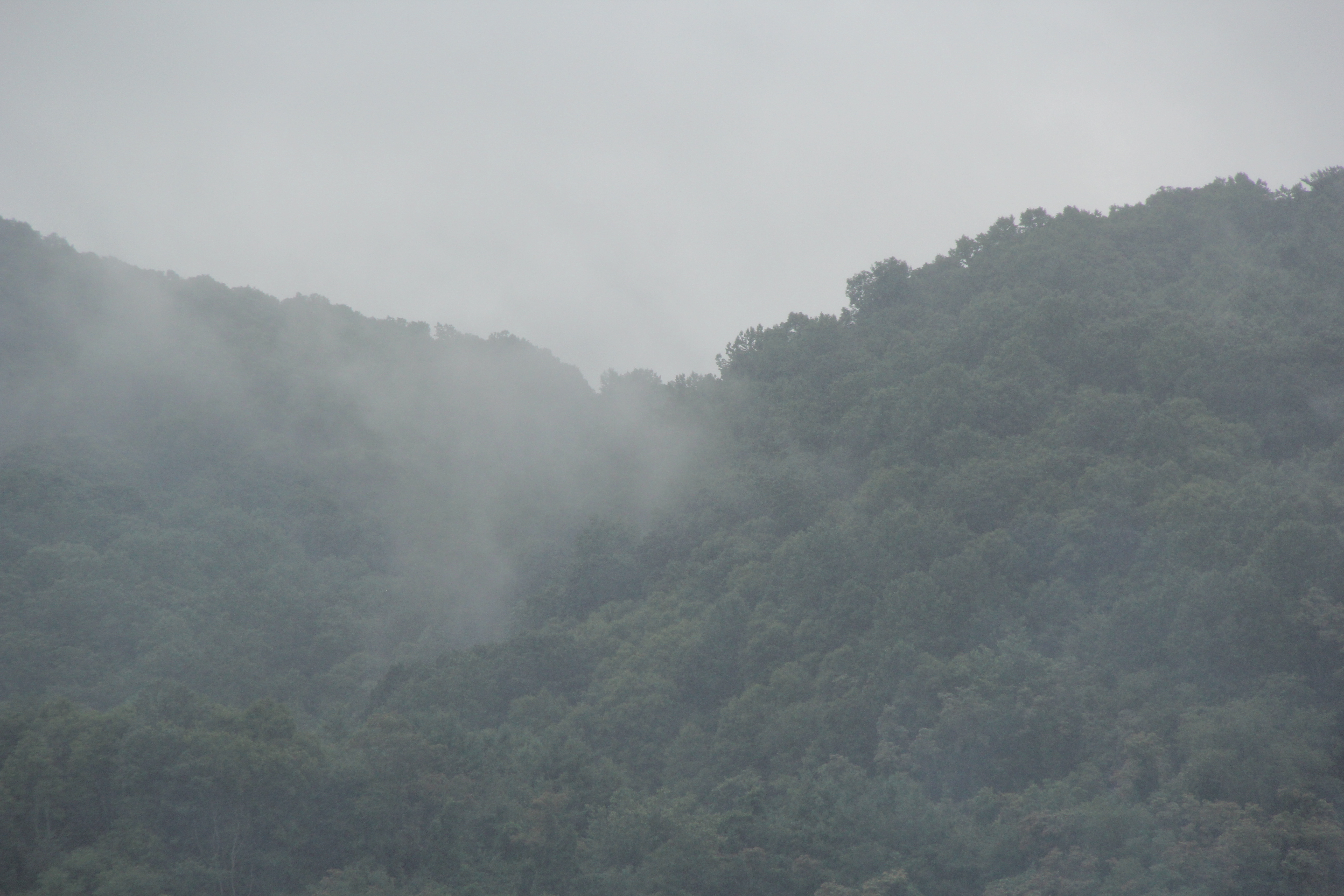
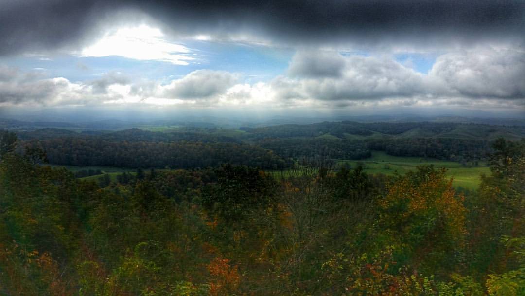
Galax, VA ... heavy cloud cover, rain rolling in
DSCF3915-Pano.jpg
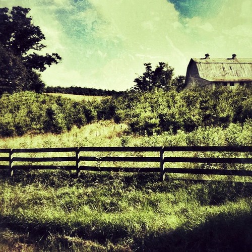
Farm Land
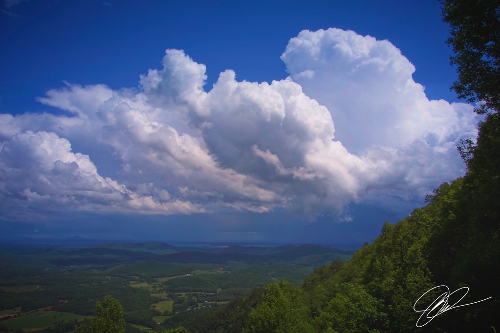
Afternoon Showers

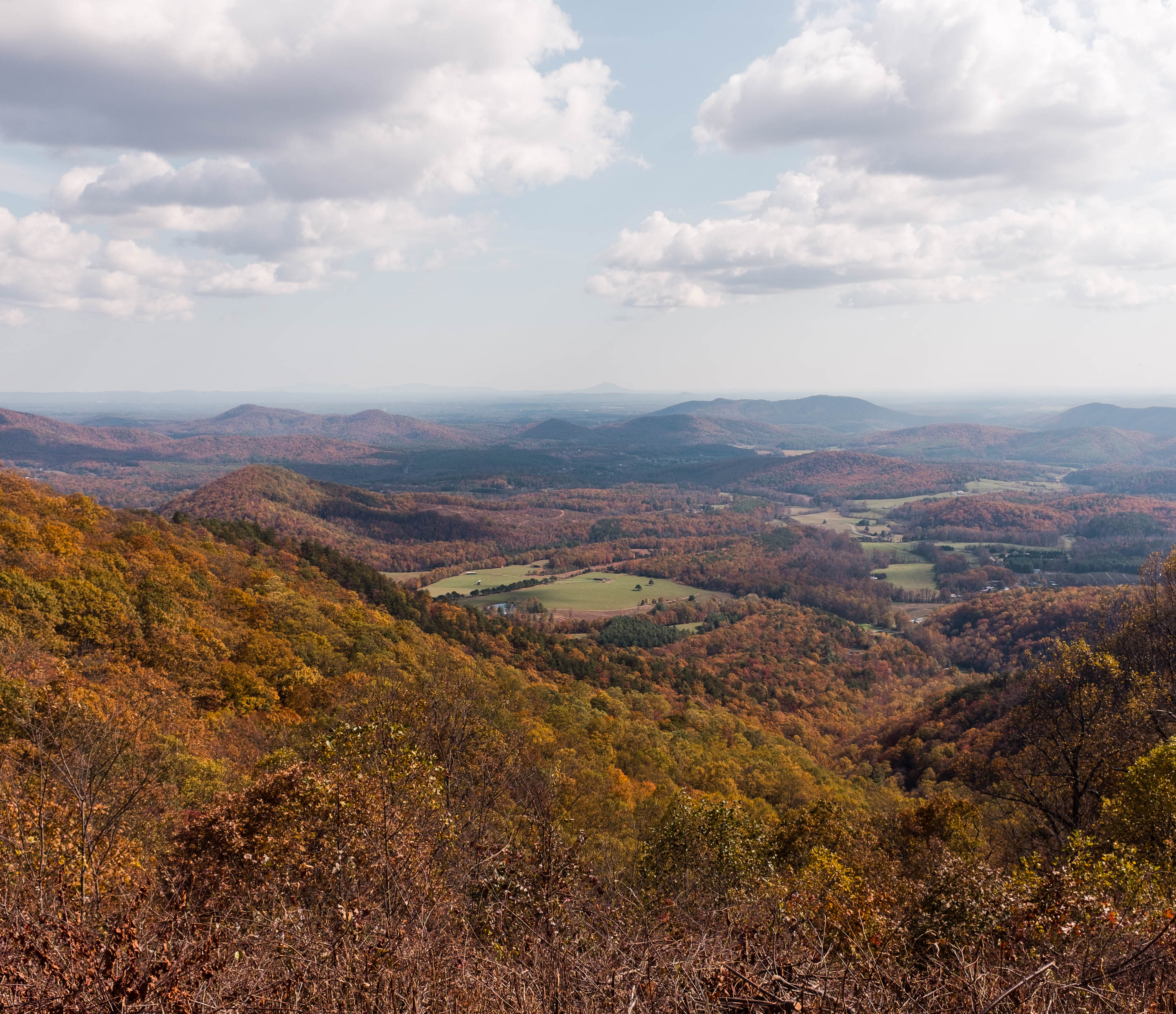
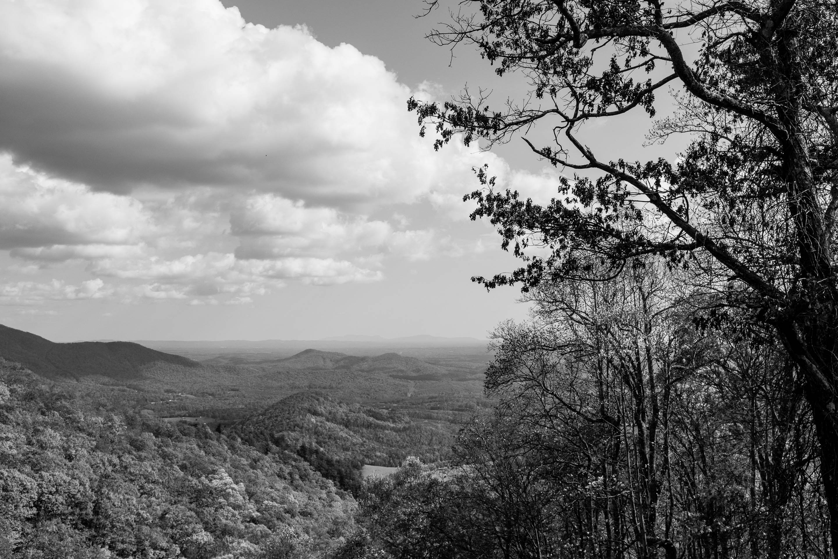
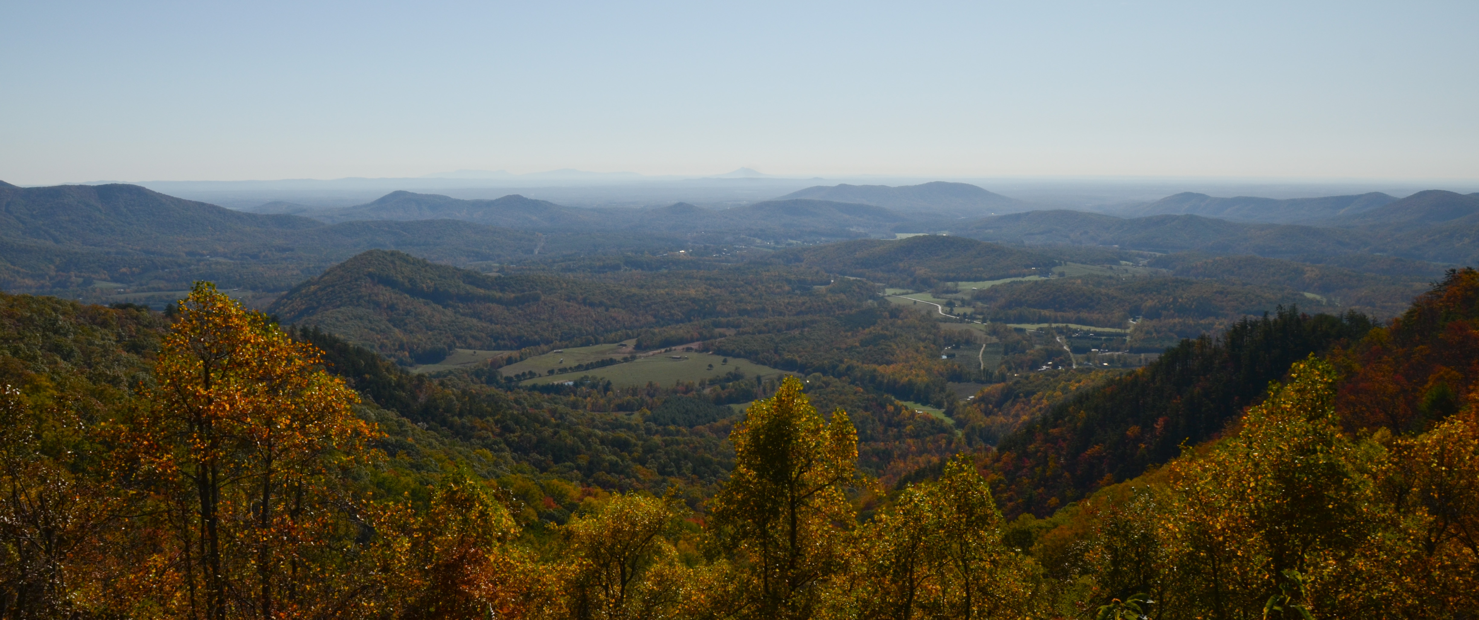
The Blue Ridge
DSCF3924.jpg
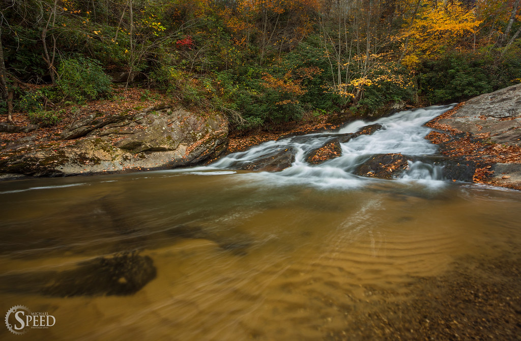
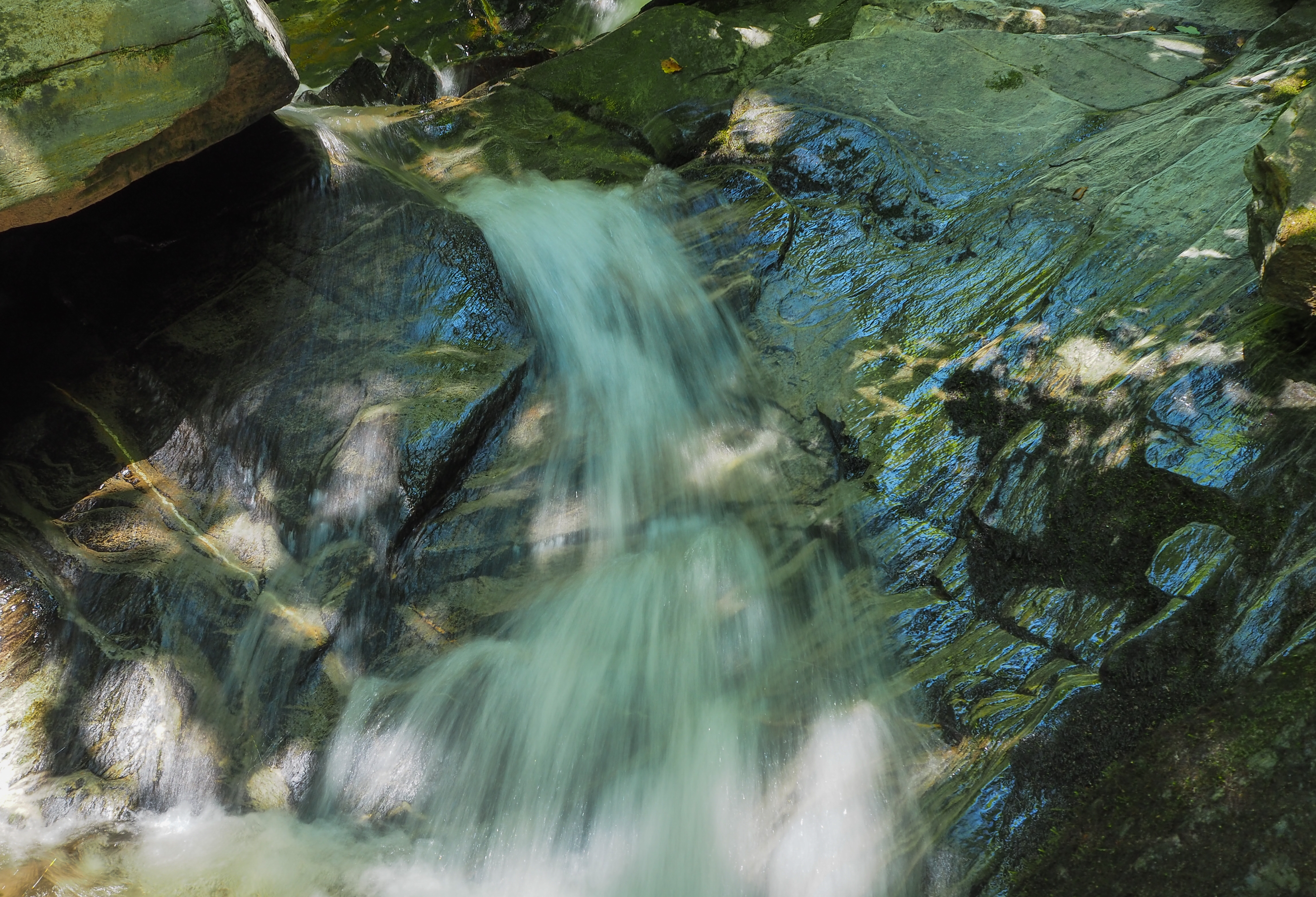
Powerhouse Falls
Draper mountain overlook #virginiaisforlovers #virginiabeauty #visitva #swva @visitvirginia @ig_virginia @virginianature #gopro #fall
RDW_3039.JPG
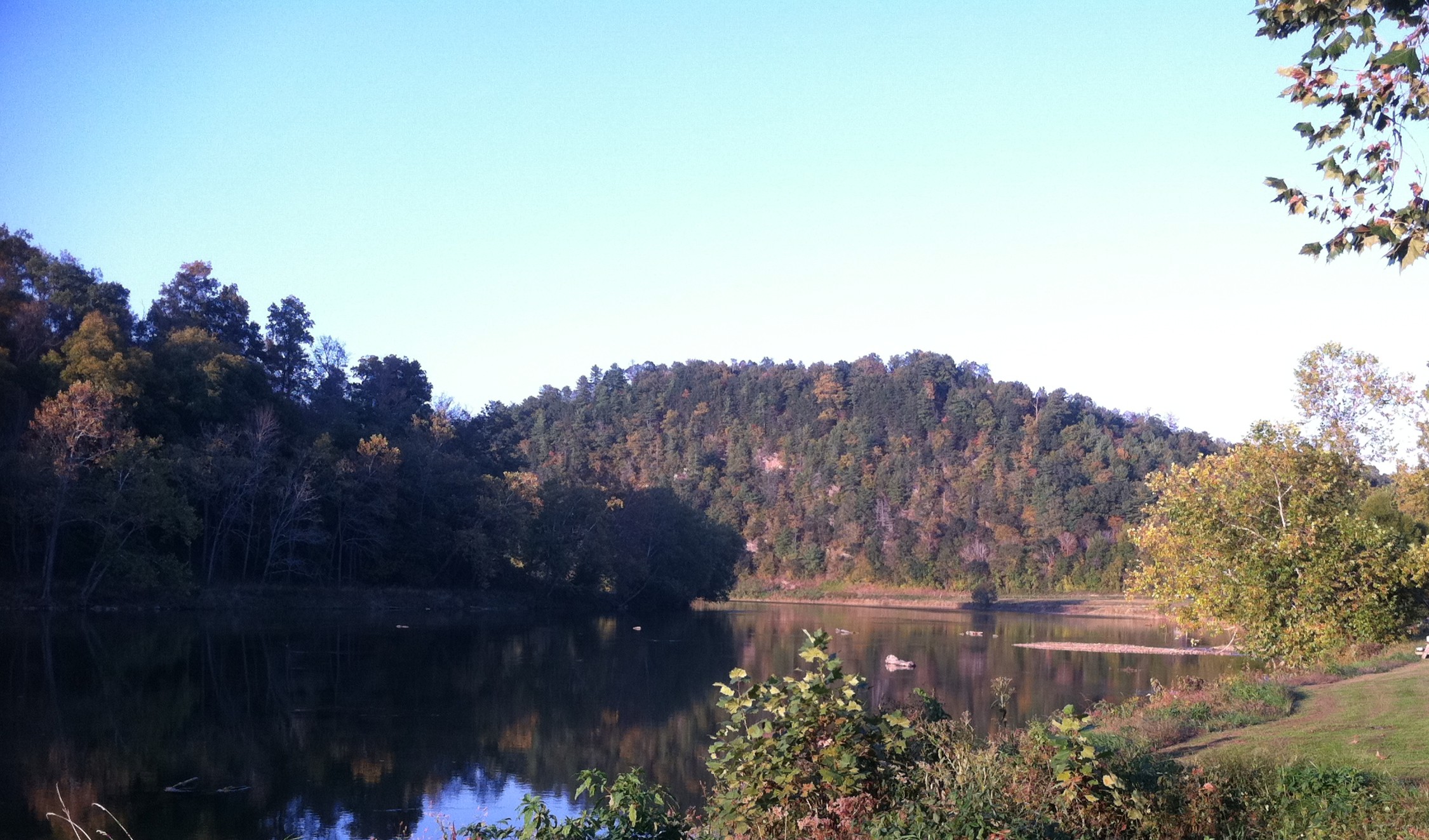
New River, Fries Va, Grayson County
RDW_3061.JPG
20180621_pics (52)
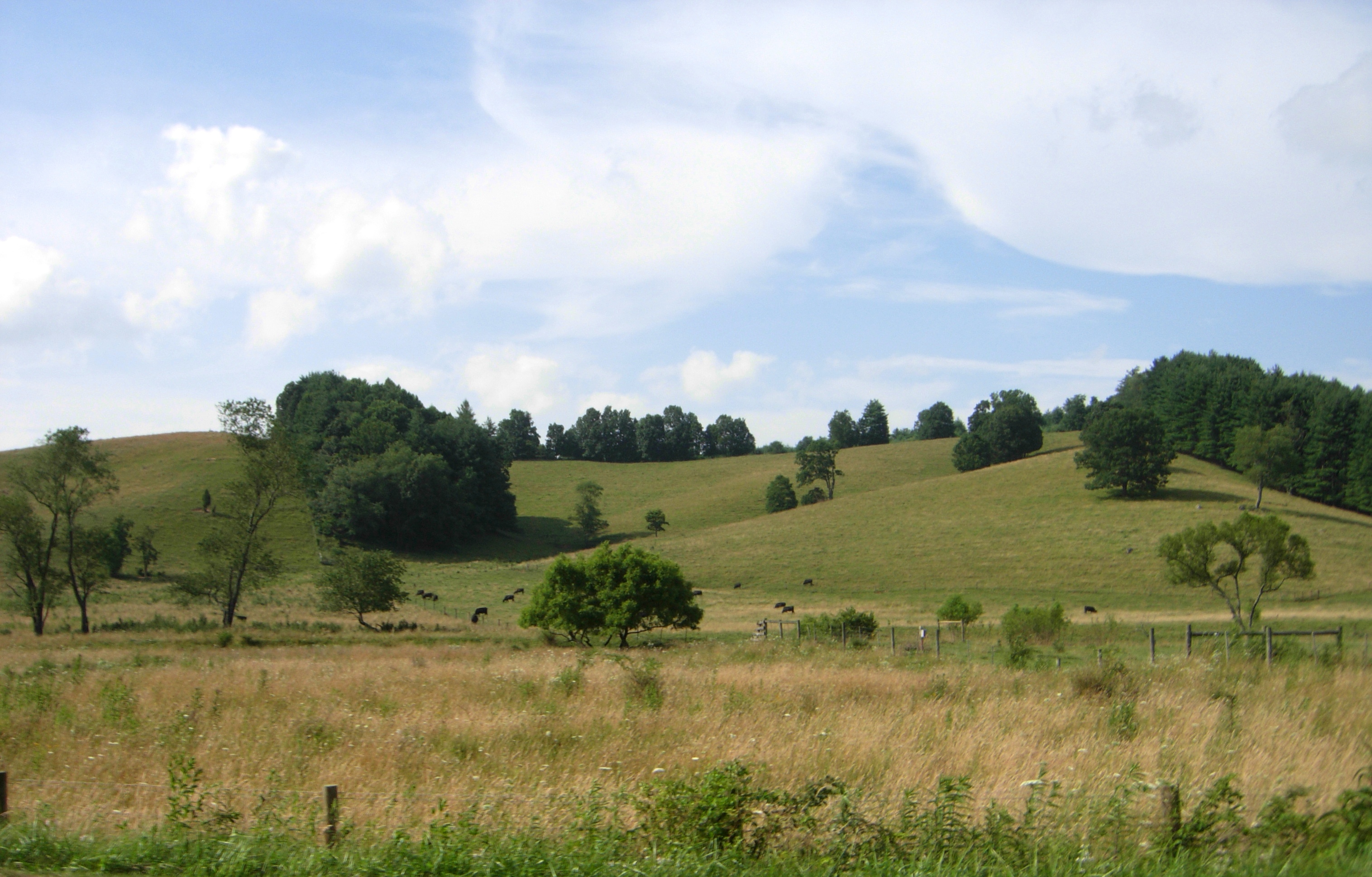
rolling hills and fragrant meadows
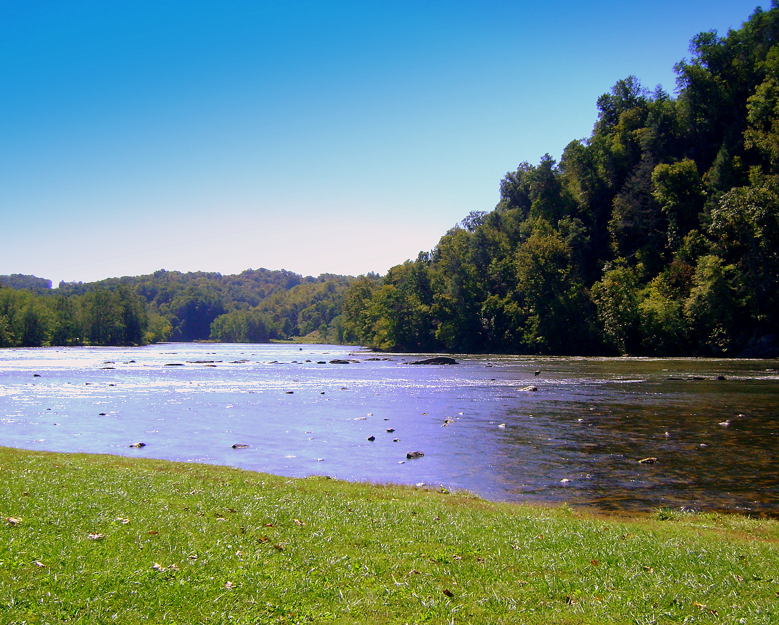
New River, Fries Va, Grayson County
Topographic Map of 60 Cliff View Ln, Independence, VA, USA
Find elevation by address:

Places near 60 Cliff View Ln, Independence, VA, USA:
River Hill Lane
720 Collinswood Ln
Pleasant Grove Road
Doe Ridge Lane
Doe Ridge Lane
Pleasant Grove Road
1821 Longview Ln
1616 Longview Ln
1616 Longview Ln #1616
New View Lane
128 Newview Ln
River Ridge Lane
293 Sugar Shack Rd
Crab Orchard Road
1000 Pleasant Grove Rd
802 Pleasant Grove Rd
Riverside Drive
Riverside Drive
21 Grand Oaks Ln
218 Haystack Rd
Recent Searches:
- Elevation of Congressional Dr, Stevensville, MD, USA
- Elevation of Bellview Rd, McLean, VA, USA
- Elevation of Stage Island Rd, Chatham, MA, USA
- Elevation of Shibuya Scramble Crossing, 21 Udagawacho, Shibuya City, Tokyo -, Japan
- Elevation of Jadagoniai, Kaunas District Municipality, Lithuania
- Elevation of Pagonija rock, Kranto 7-oji g. 8"N, Kaunas, Lithuania
- Elevation of Co Rd 87, Jamestown, CO, USA
- Elevation of Tenjo, Cundinamarca, Colombia
- Elevation of Côte-des-Neiges, Montreal, QC H4A 3J6, Canada
- Elevation of Bobcat Dr, Helena, MT, USA