Elevation of 56 Myrtle Dr, Winters, CA, USA
Location: United States > California > Yolo County > Winters >
Longitude: -121.94405
Latitude: 38.5343194
Elevation: 38m / 125feet
Barometric Pressure: 101KPa
Elevation Map:
Satellite Map:
Related Photos:
" Infinity and Beyond "
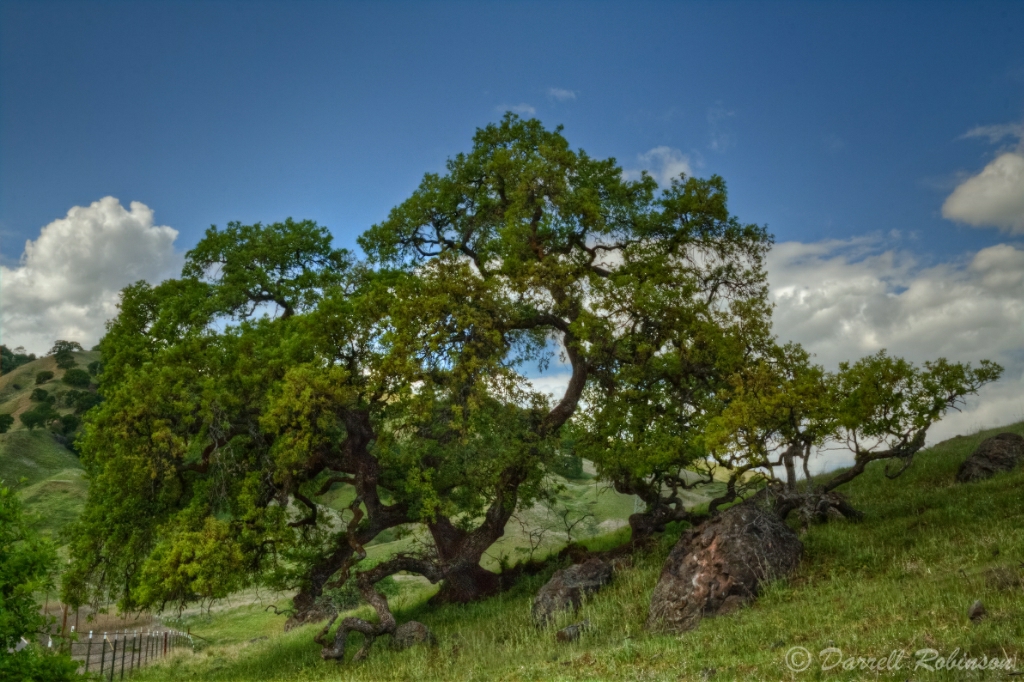
Old Oak Again
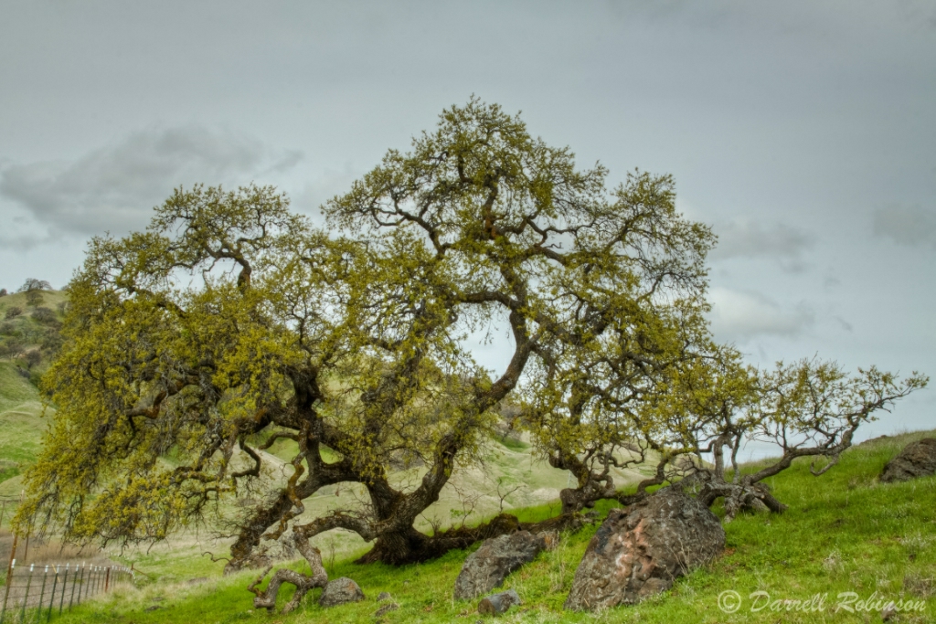
Old Oak
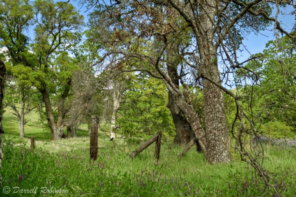
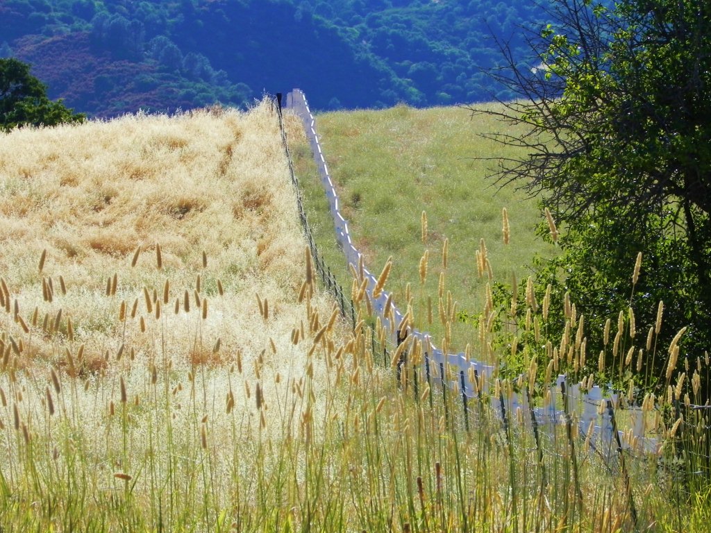
Riparian Fence HFF

Time Sink - Leica M2
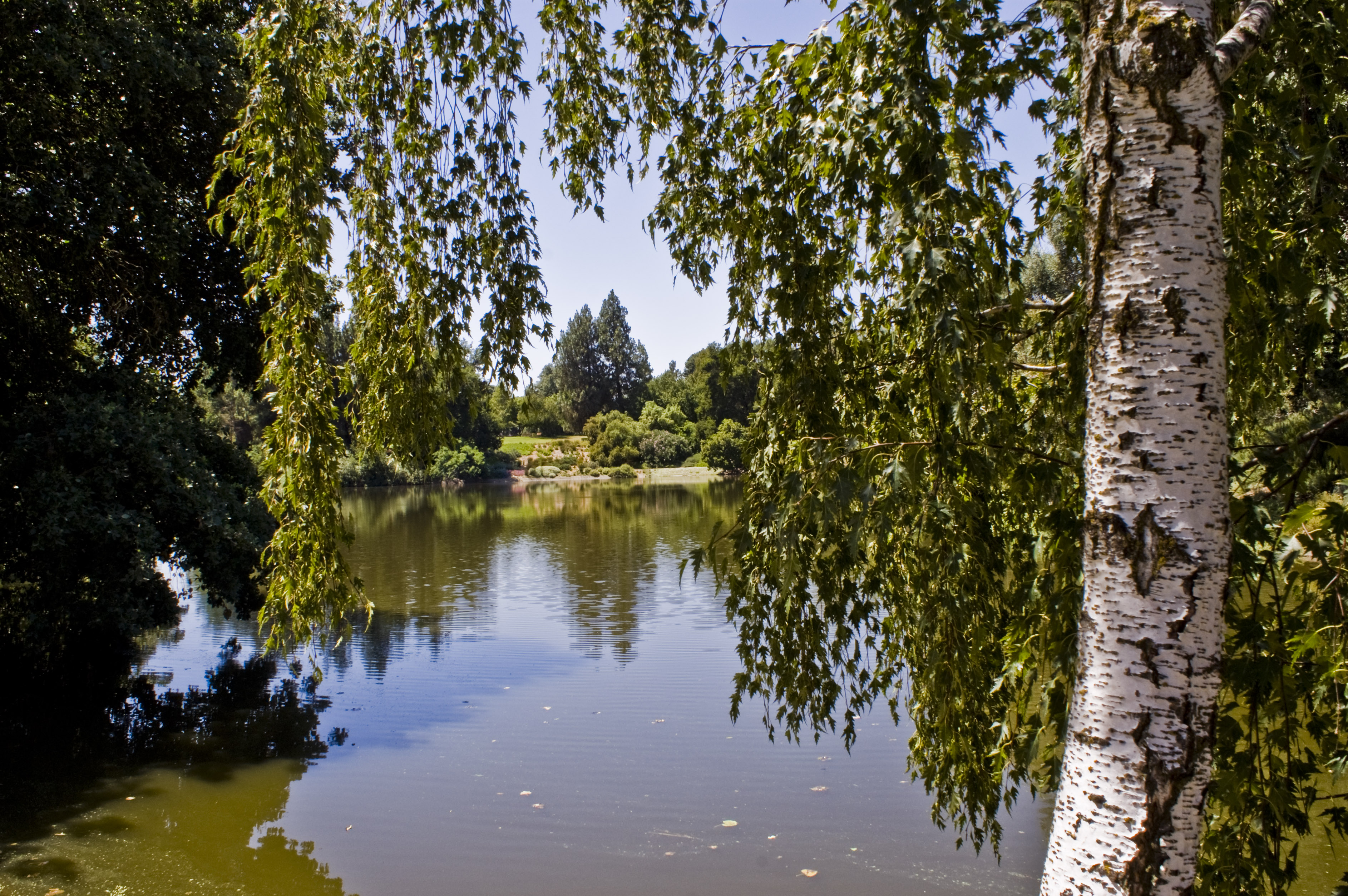
A Birch Tree, UC Davis Arboretum
Going With the Flow

Mellow Yellow

Ithuriel's Spear
Monster Love (tandem!)
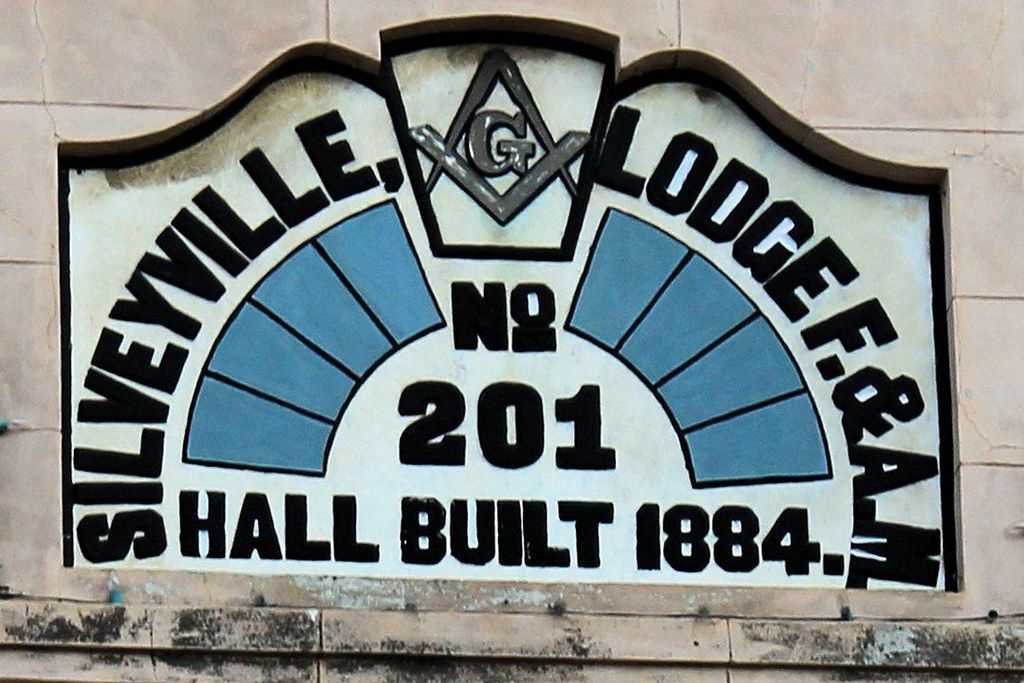
Silveyville Lodge 201
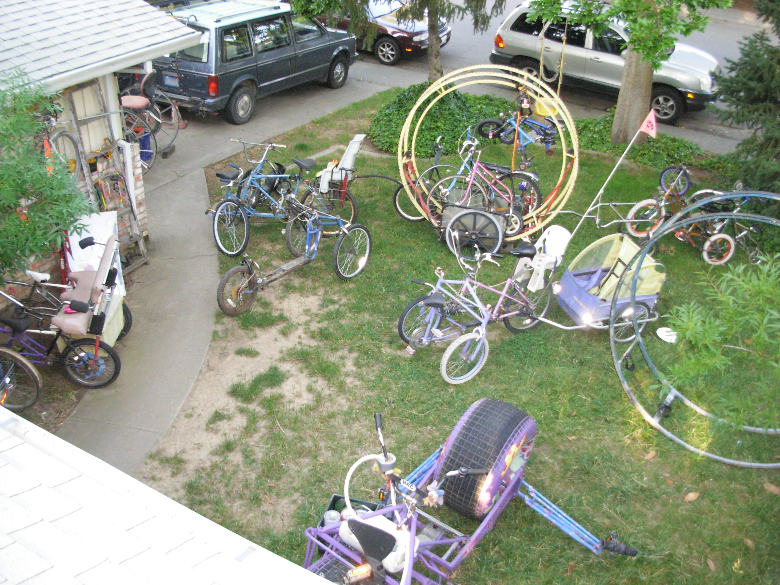
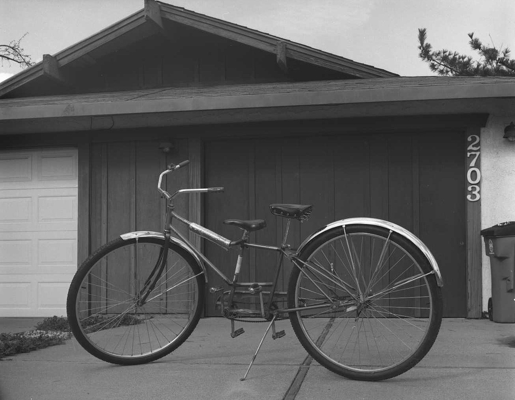
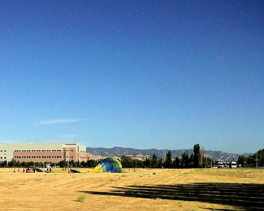
Bird (or cat)'s eye view of a real Wheelman's yard.!
Driver side view. #portlandbound #mytinyatlas #land #pnw

IMG_8654_Honeybee at UC Davis Arboretum

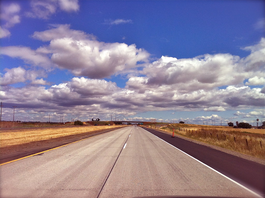
California road trip 2012

The view out my front door this morning

Common Merganser - Bill -9548
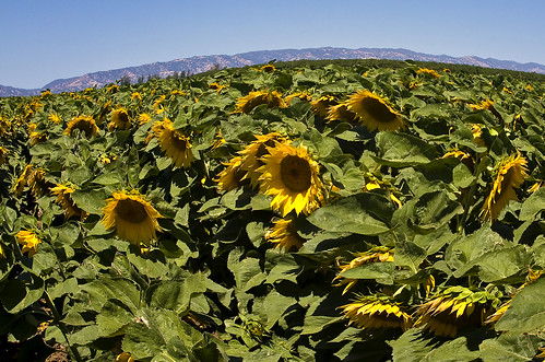
Sunflowers 1620
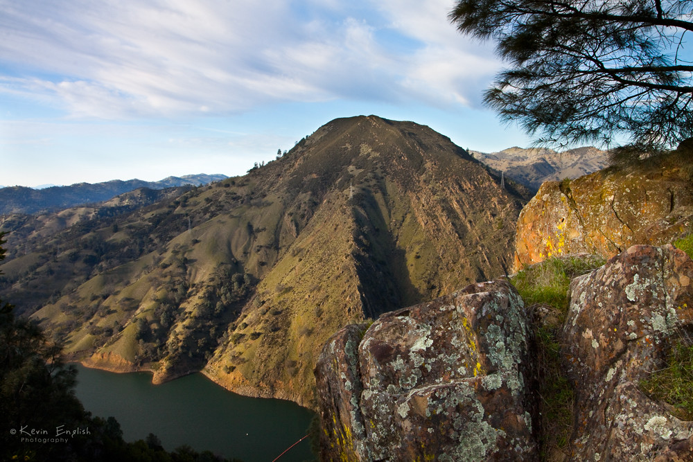
Lake Berryessa Overlook

Little Lupinus Bicolor

Red-naped Sapsucker (multiple views below)
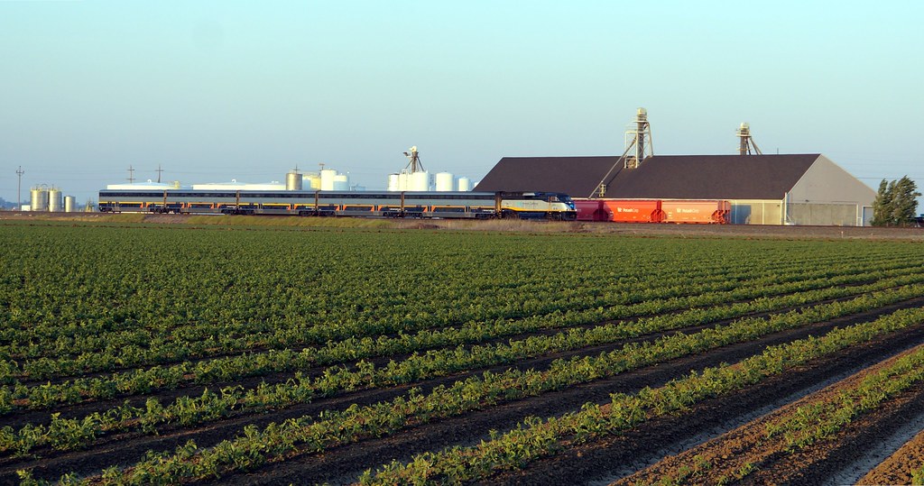
Amtrak #549
White skies
Kiss Goodnight
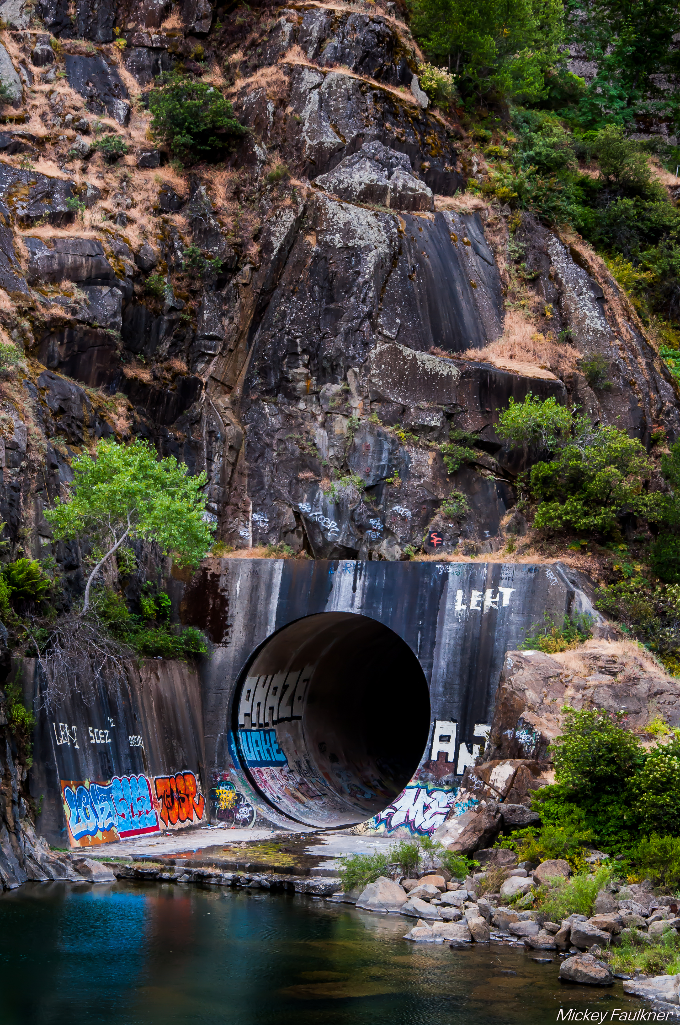
Graffiti Wall
Cold Canyon

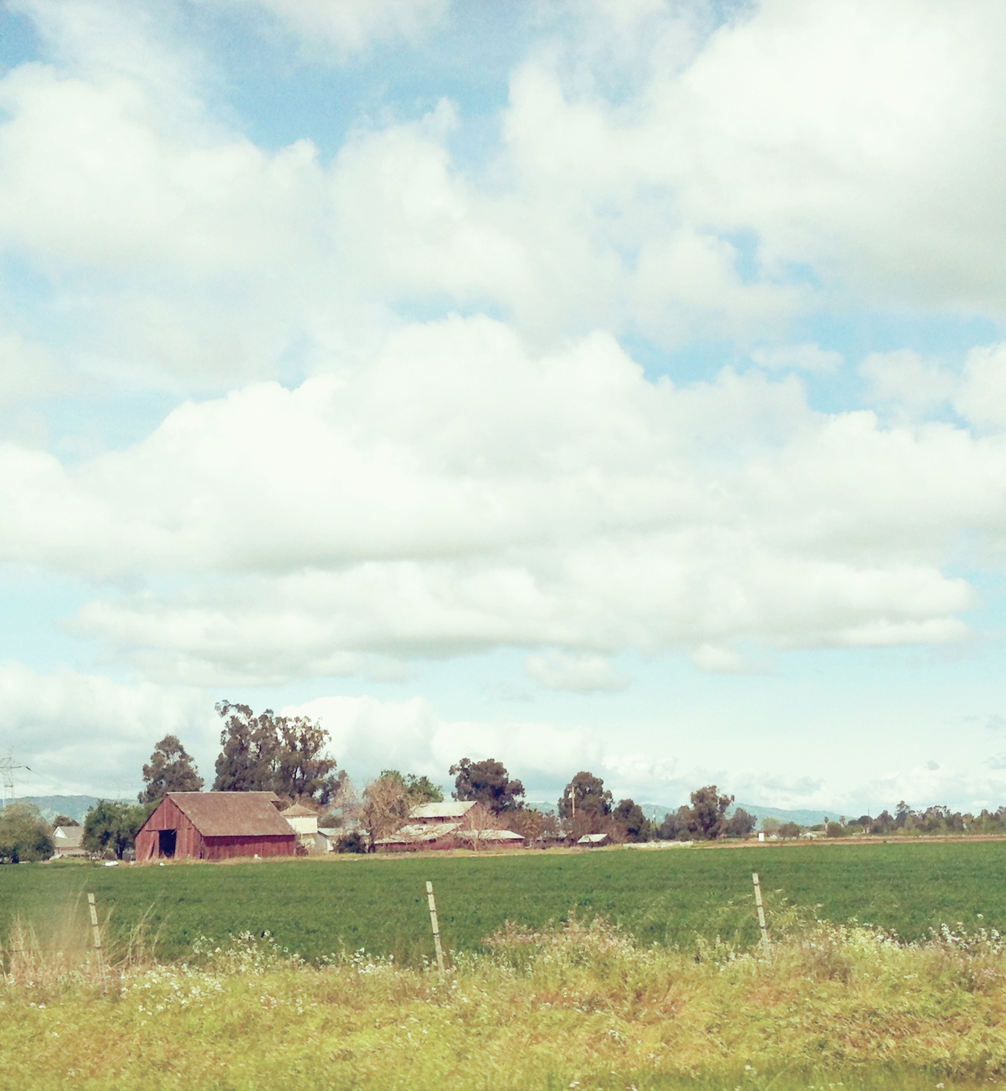
Red Barn somewhere in Pleasants Valley Rd.

Sunflower Wheat Sunset

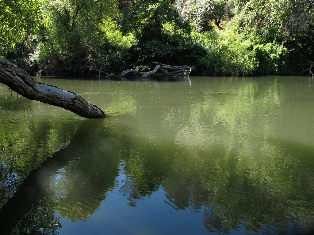
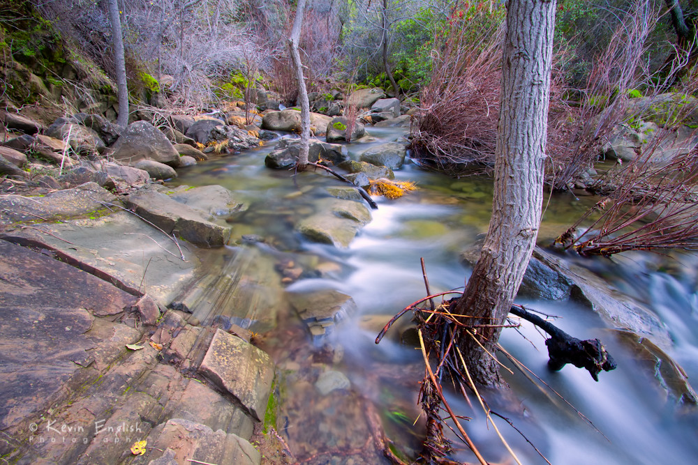
Putah Creek

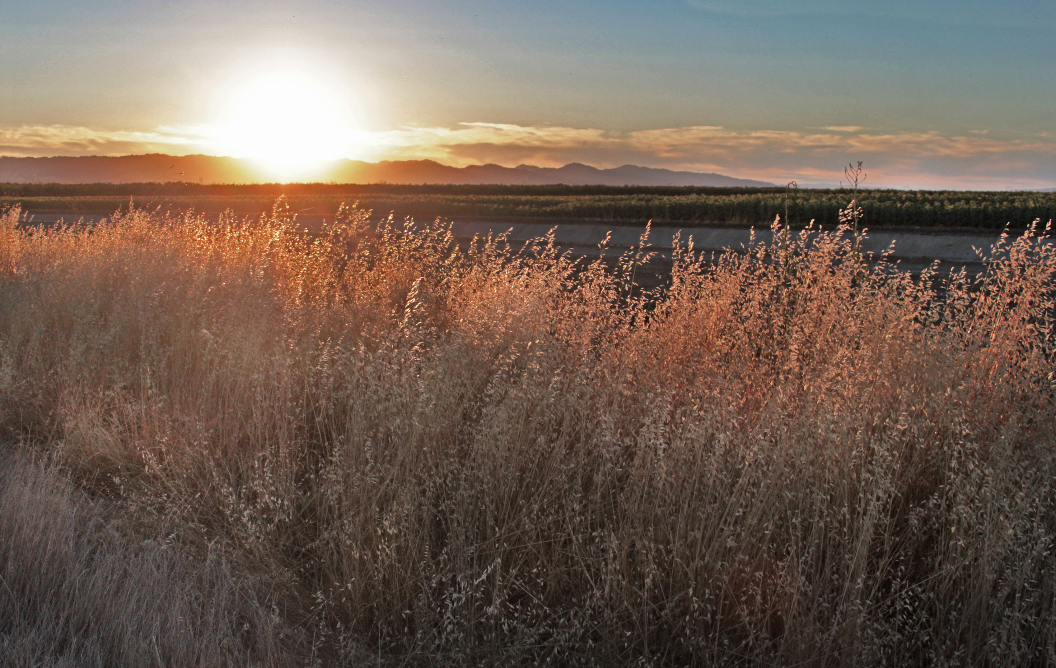
Sunset in California

Olive grove- ocean in the sky

2012-10-16 11.57.45
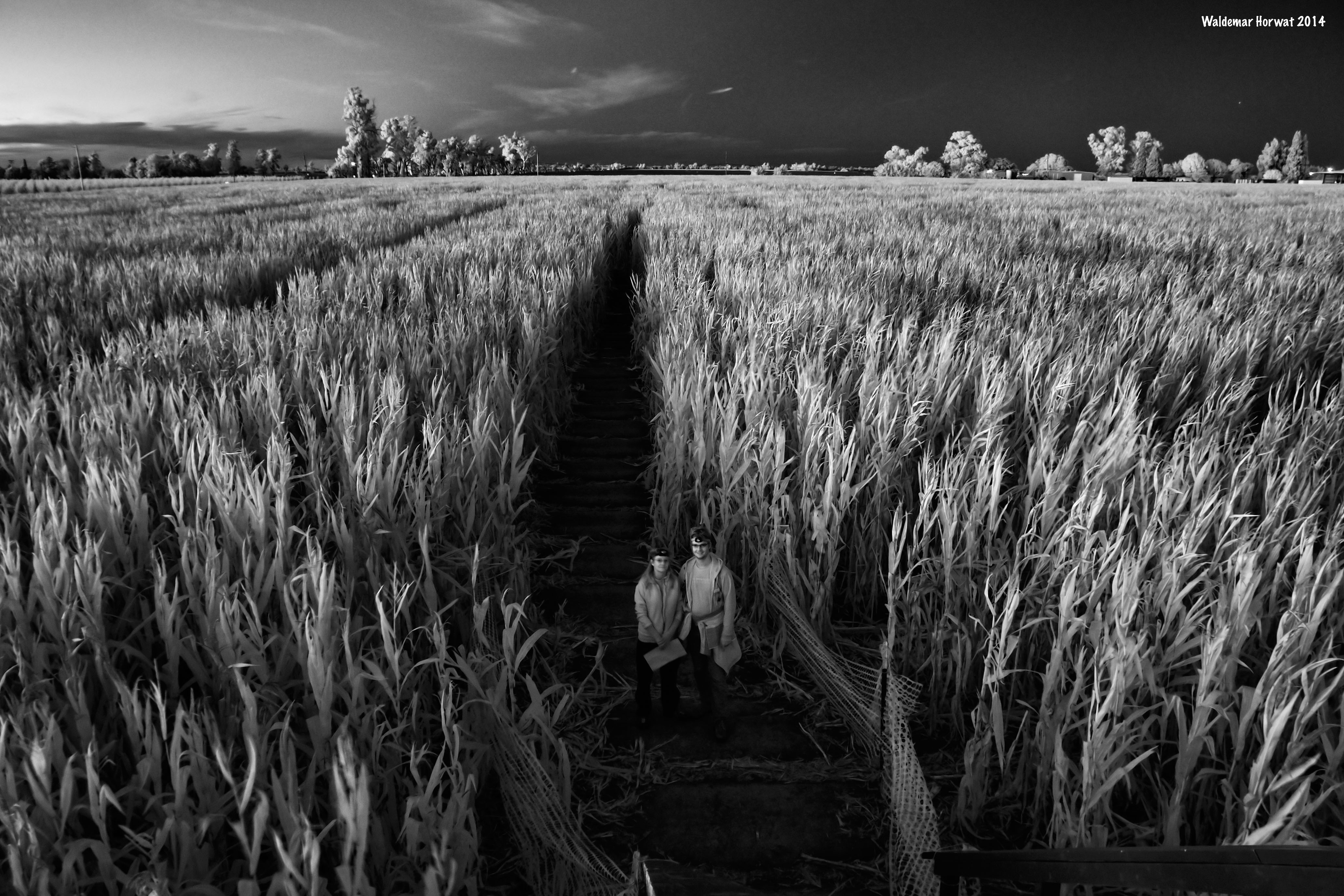
Maize Maze at Night

Cold Canyon

2012-10-14 18.42.10
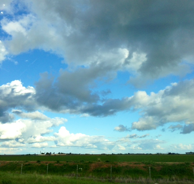
Partly cloudy
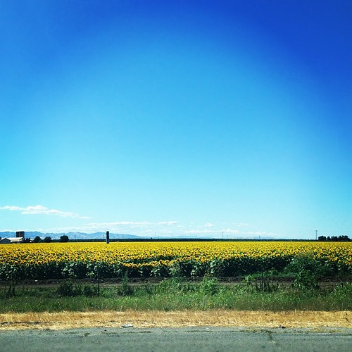
Whole lotta sunflowers
The Landing
Take a wrong turn, drive 15 miles, and look what you find.
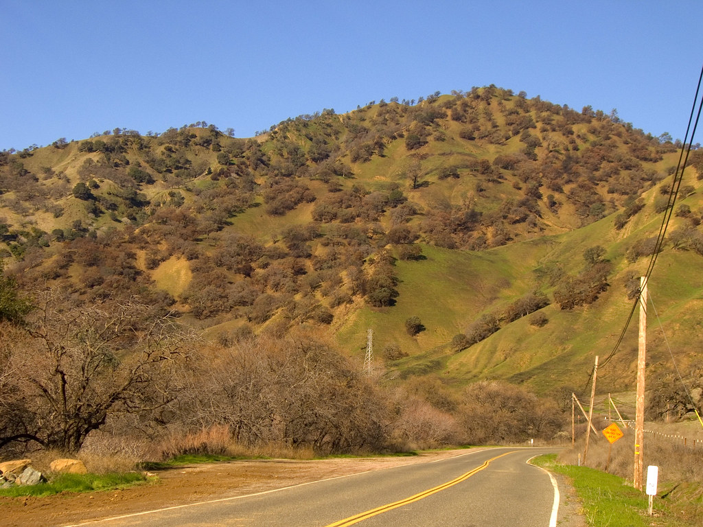
Pleasant Valley Road drive
Topographic Map of 56 Myrtle Dr, Winters, CA, USA
Find elevation by address:

Places near 56 Myrtle Dr, Winters, CA, USA:
Martin Ranch
Winters
106 Riverview Ct
4626 Campos Ln
Co Rd 89, Winters, CA, USA
25104 Co Rd 95
Stevenson Bridge Road
Co Rd 26, Winters, CA, USA
Fairfield Elementary School
19179 Rd 94c
27030 Patwin Rd
3427 Morro Bay Ave
Morro Bay Avenue
Stonegate
Woodland, CA, USA
2919 Avila Bay Pl
Co Rd 29, Woodland, CA, USA
Village Homes
2404 Bucklebury Rd
2245 Muir Woods Pl
Recent Searches:
- Elevation of Lytham Ln, Katy, TX, USA
- Elevation of Tater Hill, Oklahoma, USA
- Elevation of NY-, Friendship, NY, USA
- Elevation of 64 Danakas Dr, Winnipeg, MB R2C 5N7, Canada
- Elevation of 4 Vale Rd, Sheffield S3 9QX, UK
- Elevation of Keene Point Drive, Keene Point Dr, Grant, AL, USA
- Elevation of State St, Zanesville, OH, USA
- Elevation of Austin Stone Dr, Haslet, TX, USA
- Elevation of Bydgoszcz, Poland
- Elevation of Bydgoszcz, Poland