Elevation of 4 St Hwy, Cuba, NM, USA
Location: United States > New Mexico > Sandoval County > Cuba >
Longitude: -106.95816
Latitude: 36.021896
Elevation: 2107m / 6913feet
Barometric Pressure: 78KPa
Elevation Map:
Satellite Map:
Related Photos:

Eureka!

A Day at The Lake
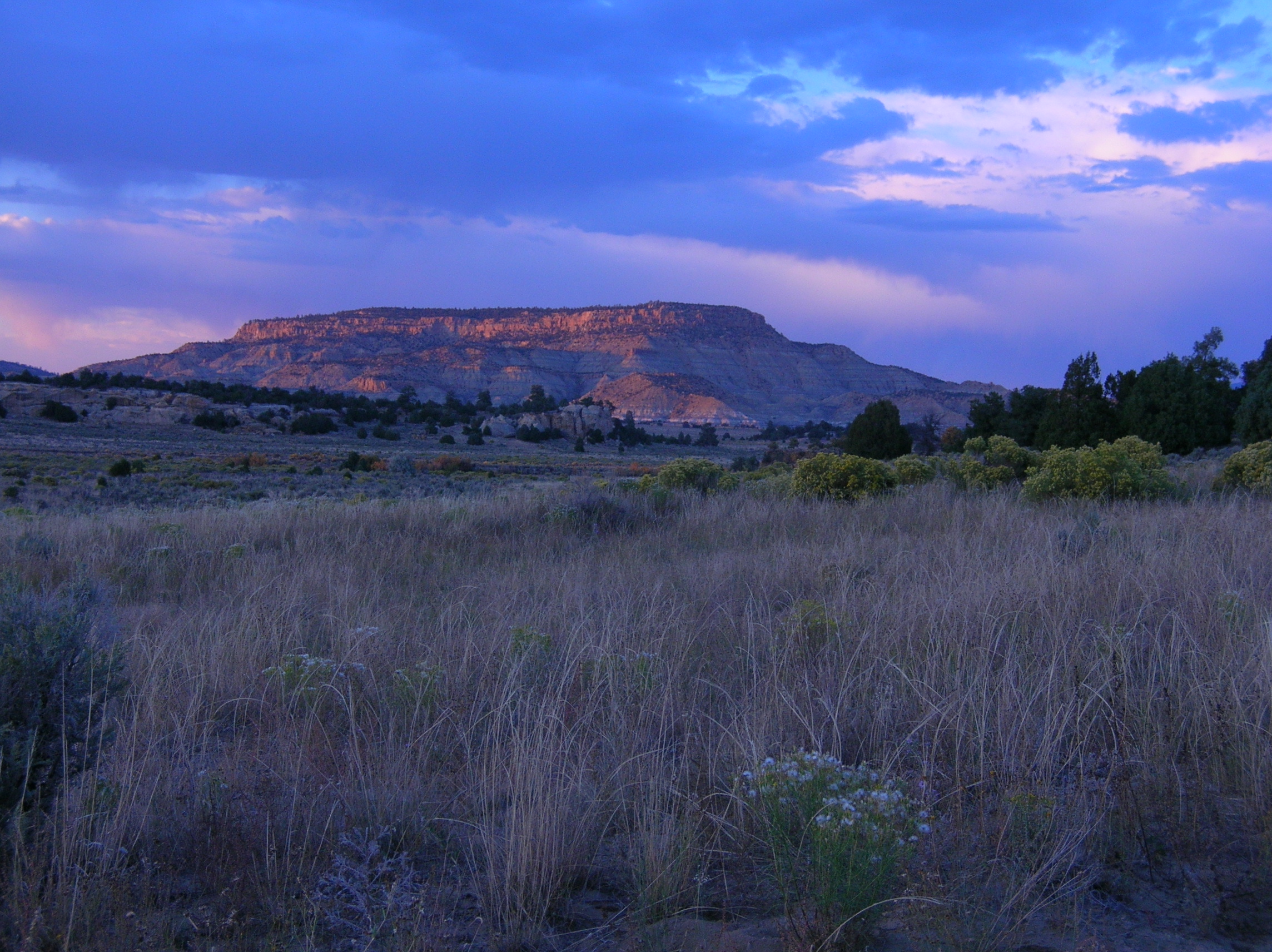
Mesa Sunset
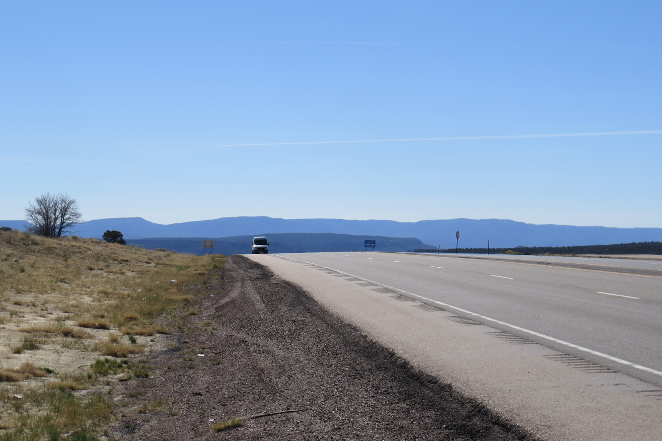
Continental Divide
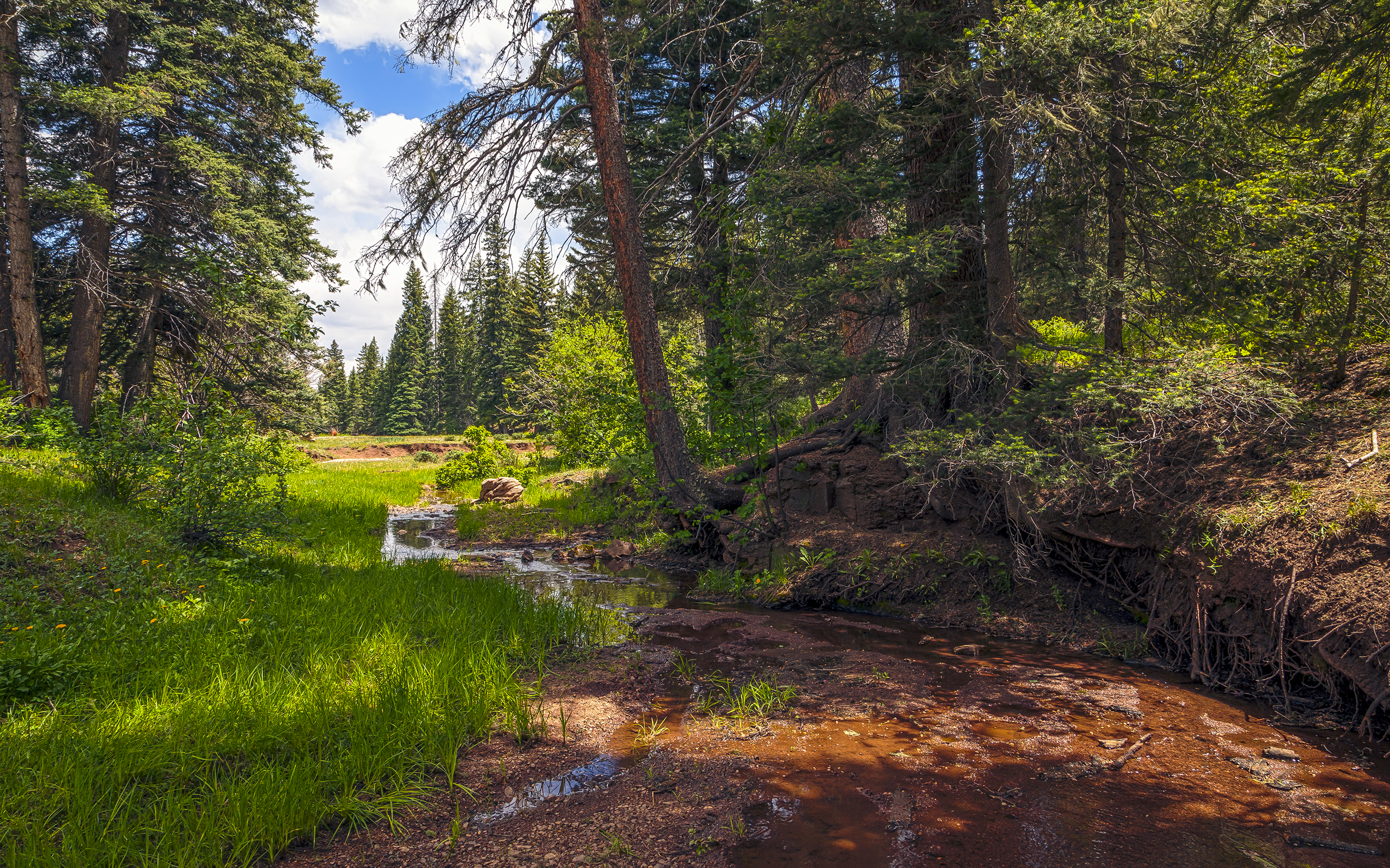
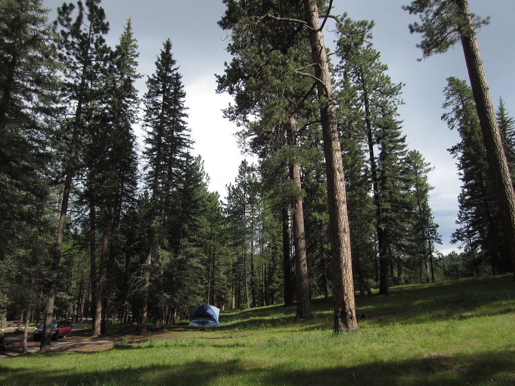
Forest Creek
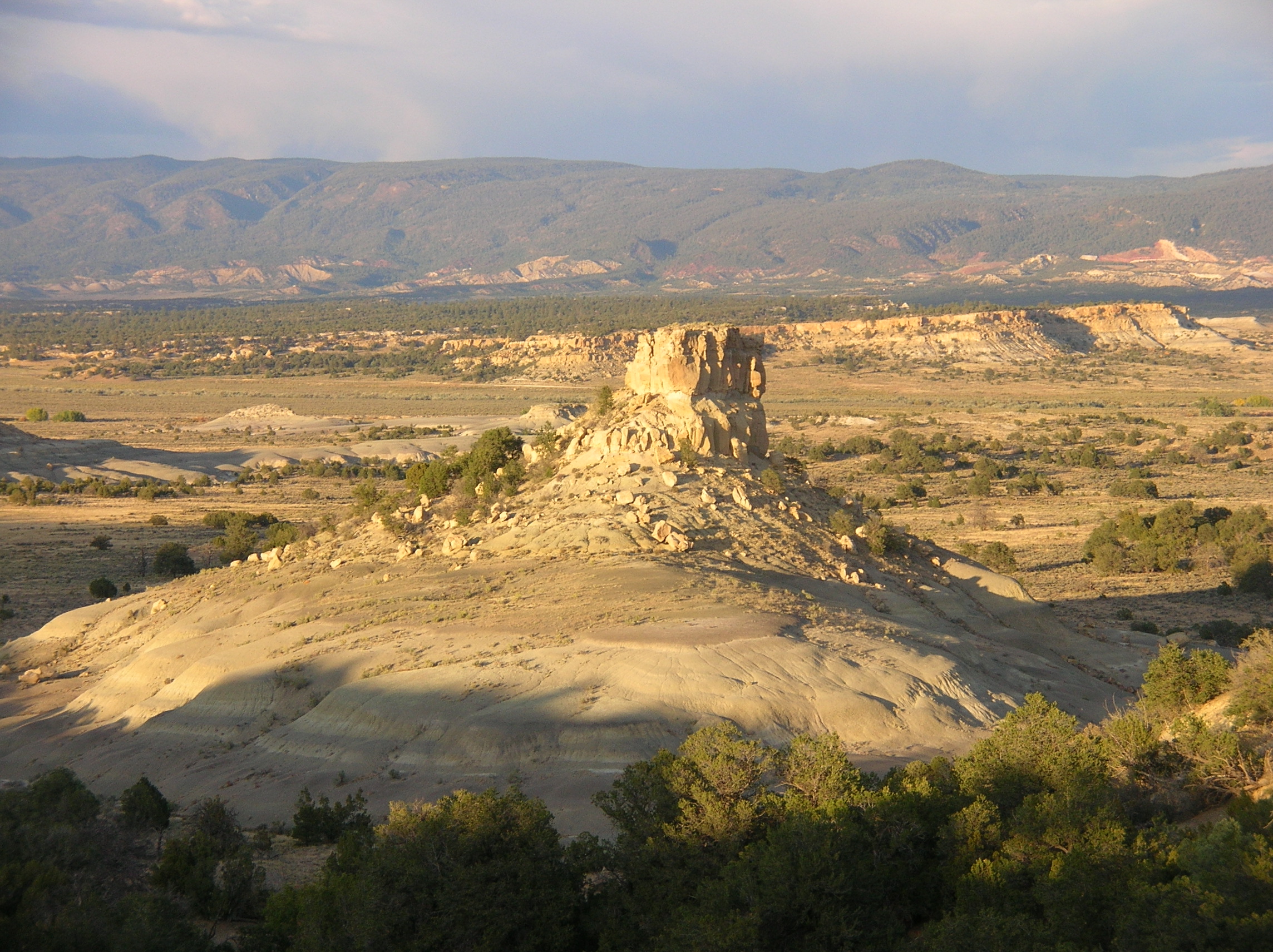
Mini Mesa
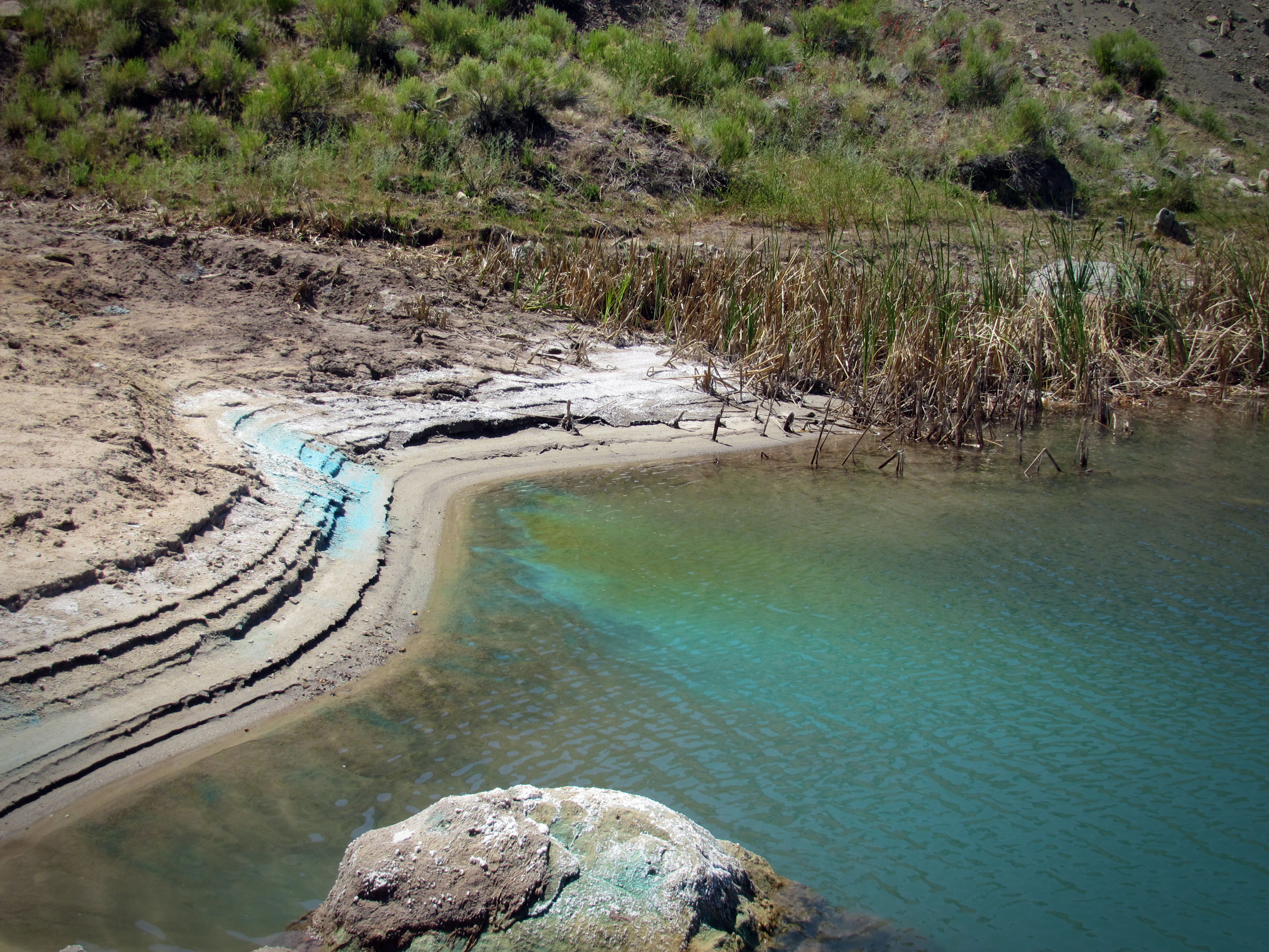
Copper Leaching at Nacimiento
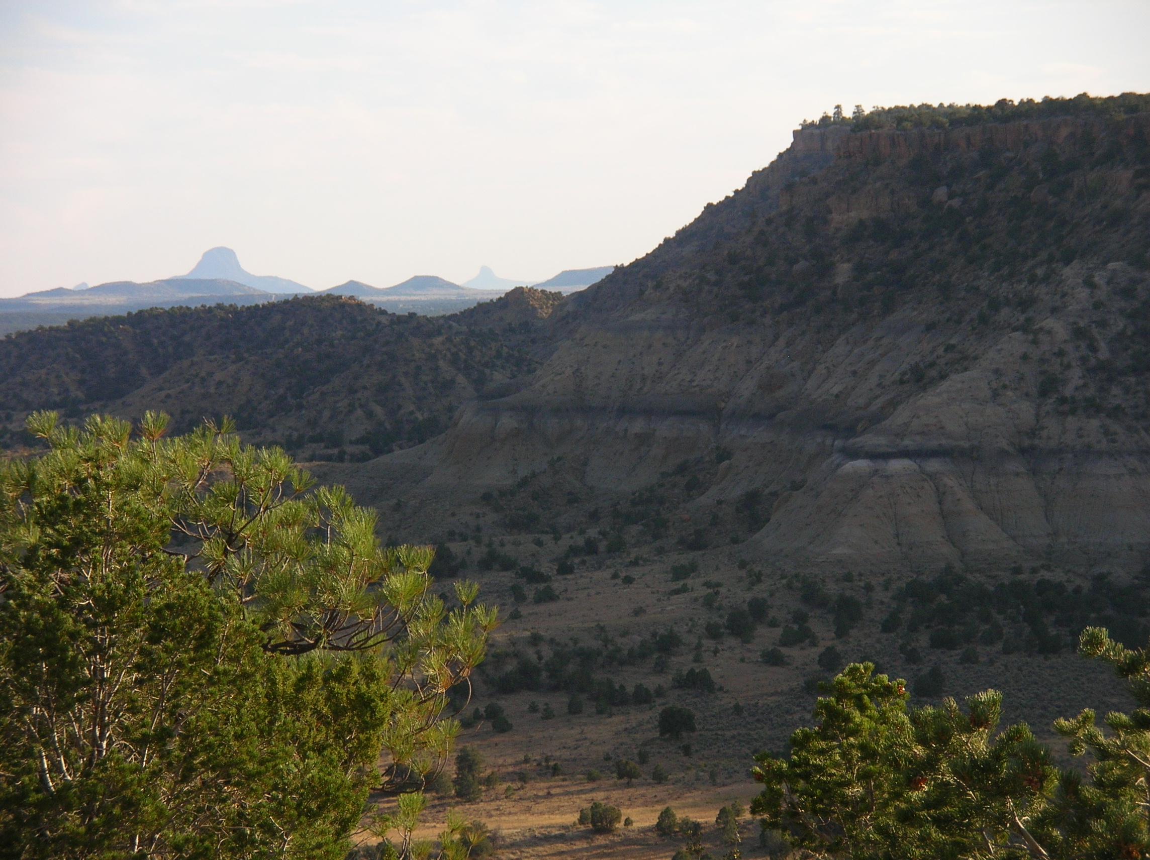
Back to Cabezon

Chamisa Sunset
Long ago and far away
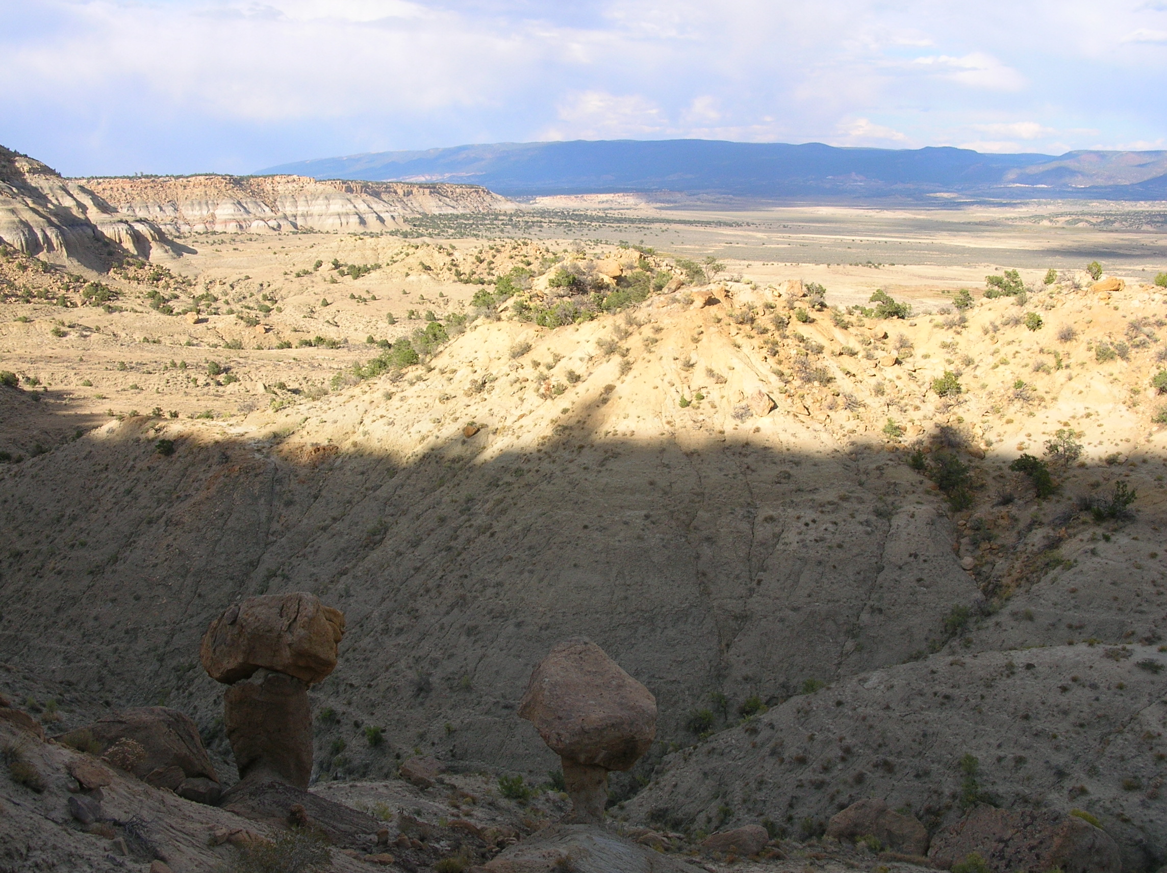
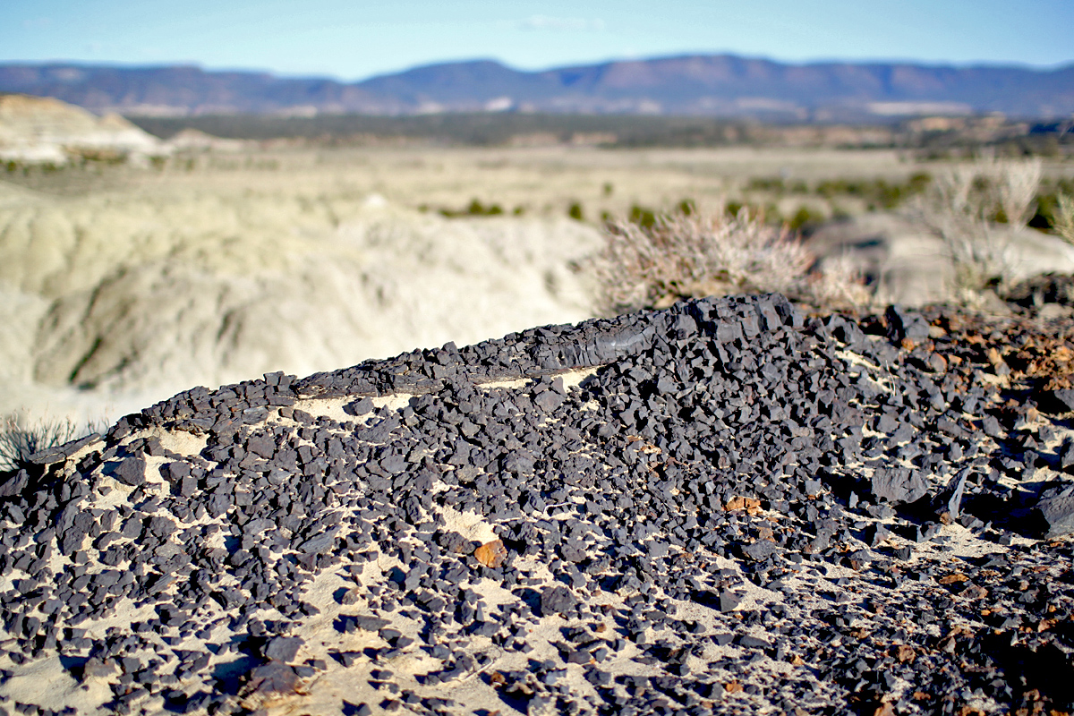
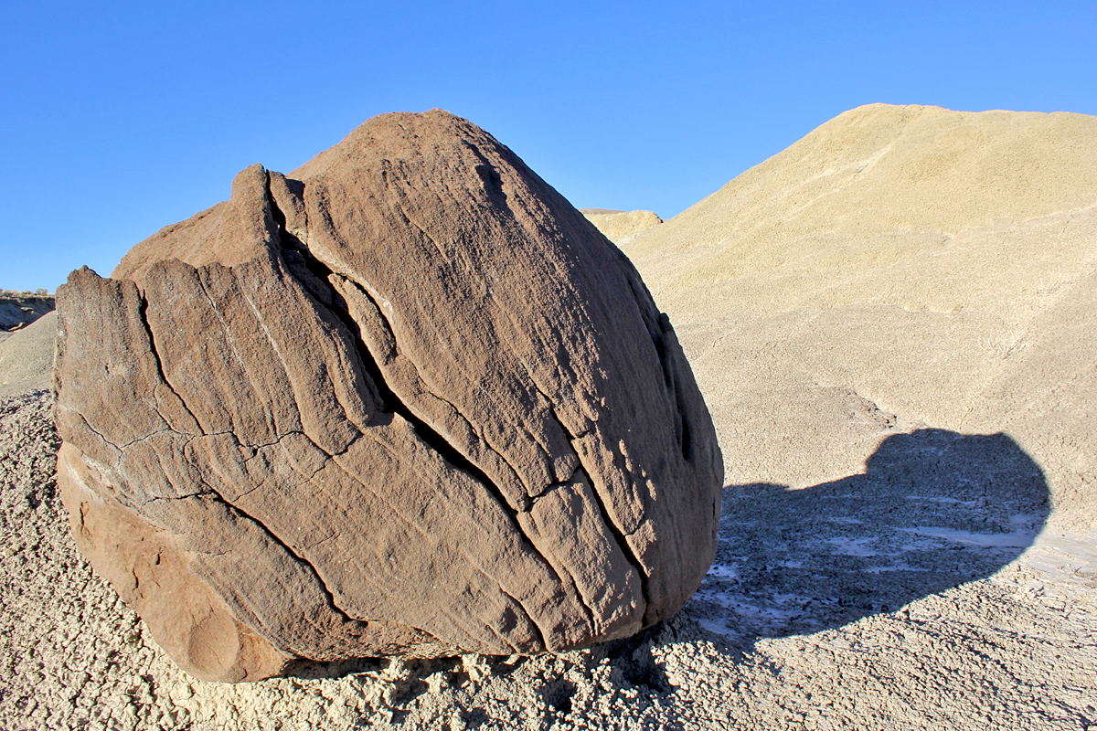
Balanced Rocks and Mesa Edge
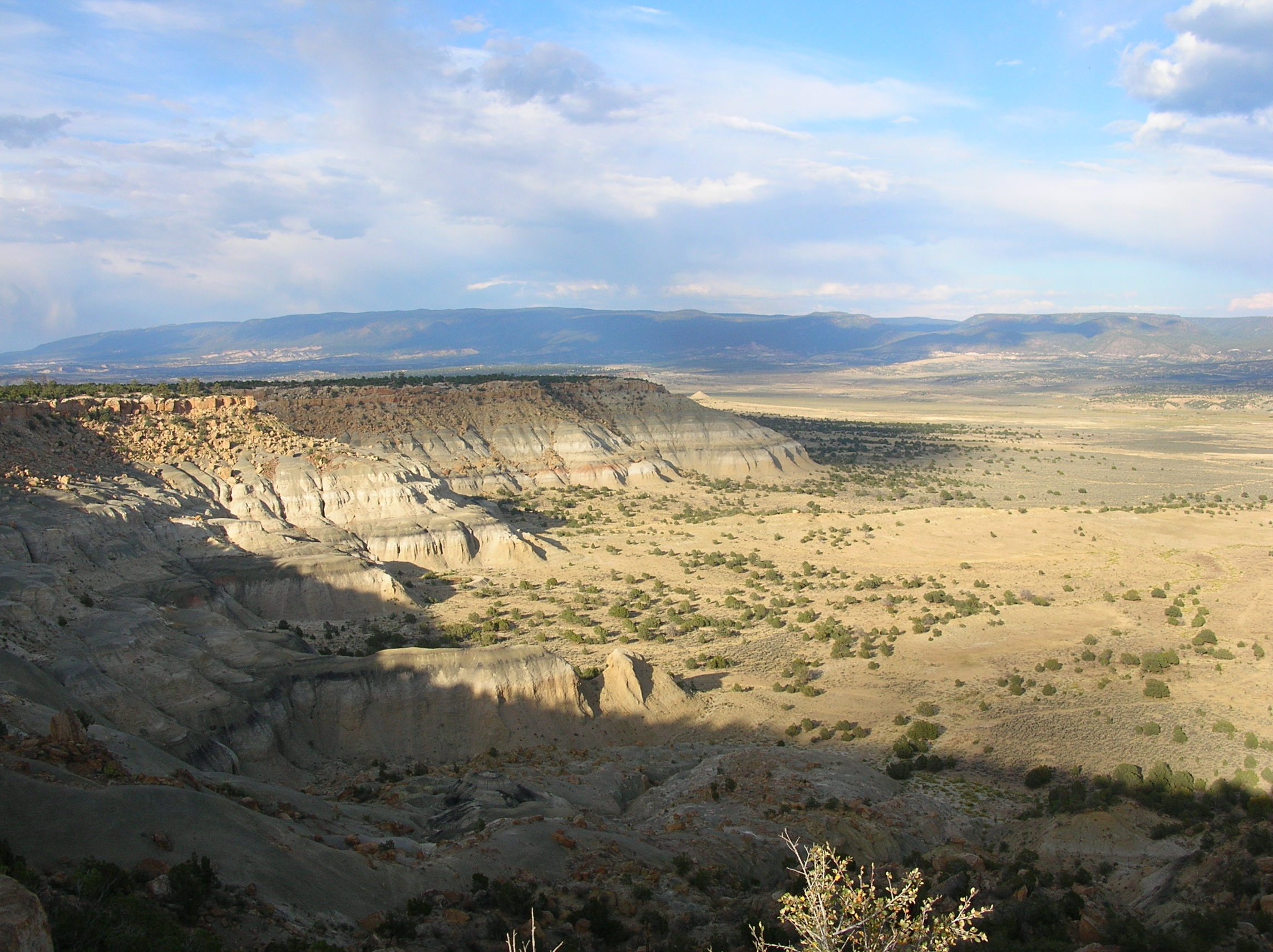
La Ventana Mesa Shadows

A River Runs Through It.
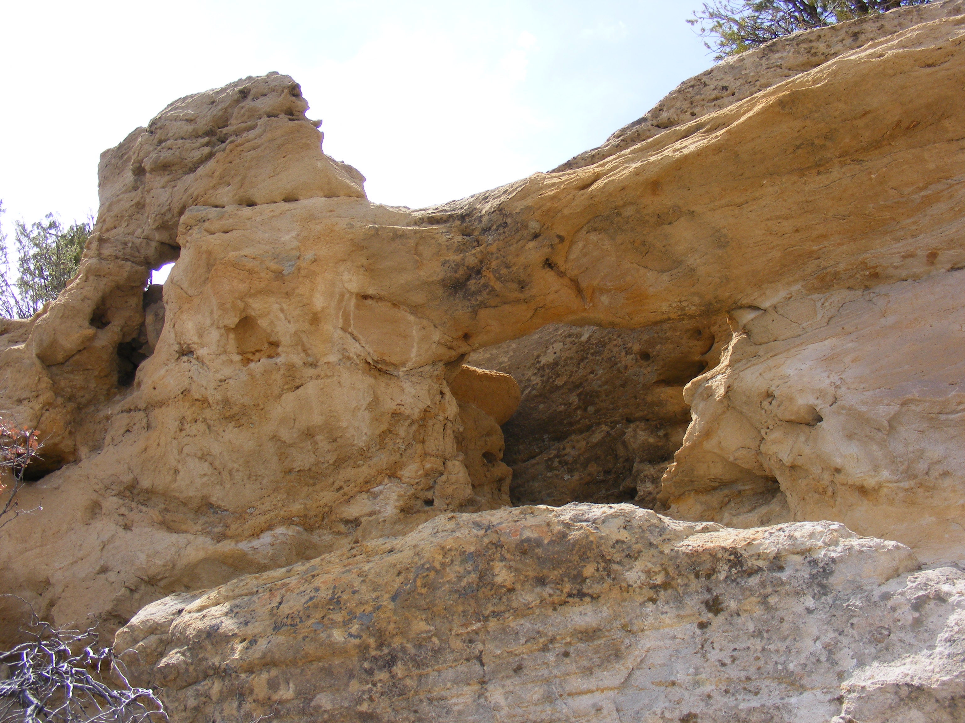
New Mexico Natural Arch NM-457

New Mexico Natural Arch NM-456 Kinaird Canyon Arch

Near Cuba, NM
Near Cuba, NM
Near Cuba, NM
Near Cuba, NM
Topographic Map of 4 St Hwy, Cuba, NM, USA
Find elevation by address:

Places near 4 St Hwy, Cuba, NM, USA:
Cuba
80 Co Rd 11
La Jara
Regina
Lower Mission Road
Ojo Encino
Bobcat Pass
Nageezi
Co Rd 5, Paguate, NM, USA
Chaco Culture Nhs Visitor Center
Ah-shi-sle-pah Wilderness
San Mateo
Chetro Ketl
Chaco Culture National Historical Park
Pueblo Bonito
Pueblo Alto Trail
Mount Taylor
Bloomfield, NM, USA
Bisti/de-na-zin Wilderness
New Mexico State University Grants
Recent Searches:
- Elevation of Corso Fratelli Cairoli, 35, Macerata MC, Italy
- Elevation of Tallevast Rd, Sarasota, FL, USA
- Elevation of 4th St E, Sonoma, CA, USA
- Elevation of Black Hollow Rd, Pennsdale, PA, USA
- Elevation of Oakland Ave, Williamsport, PA, USA
- Elevation of Pedrógão Grande, Portugal
- Elevation of Klee Dr, Martinsburg, WV, USA
- Elevation of Via Roma, Pieranica CR, Italy
- Elevation of Tavkvetili Mountain, Georgia
- Elevation of Hartfords Bluff Cir, Mt Pleasant, SC, USA