Elevation of Mount Taylor, Mt Taylor, New Mexico, USA
Location: United States > New Mexico > San Mateo >
Longitude: -107.60815
Latitude: 35.2386491
Elevation: 3436m / 11273feet
Barometric Pressure: 66KPa
Elevation Map:
Satellite Map:
Related Photos:
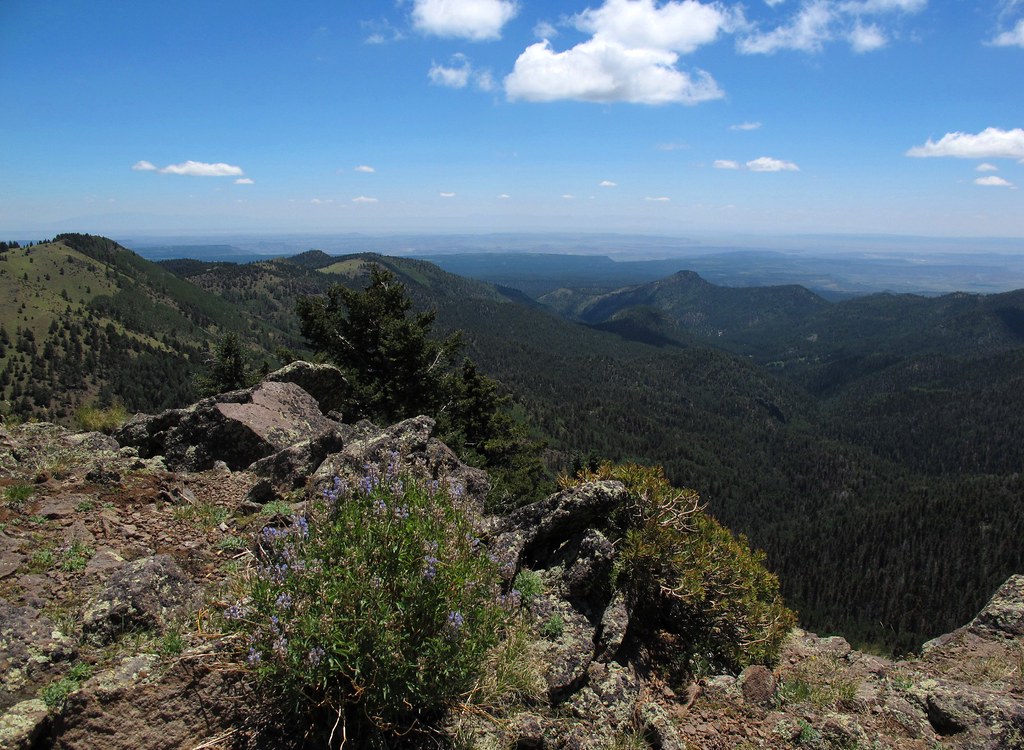
Tsoodził
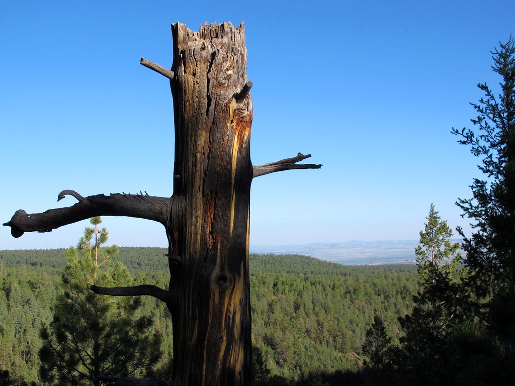
Still Standing
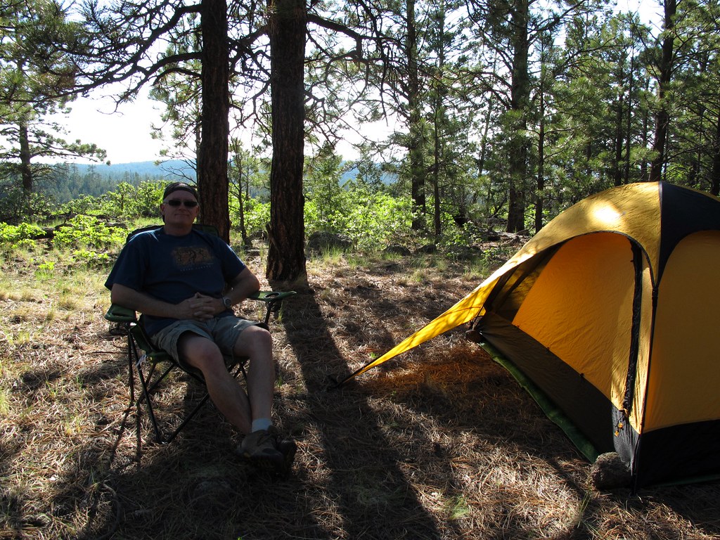
Out in the Boonies

HSMF!
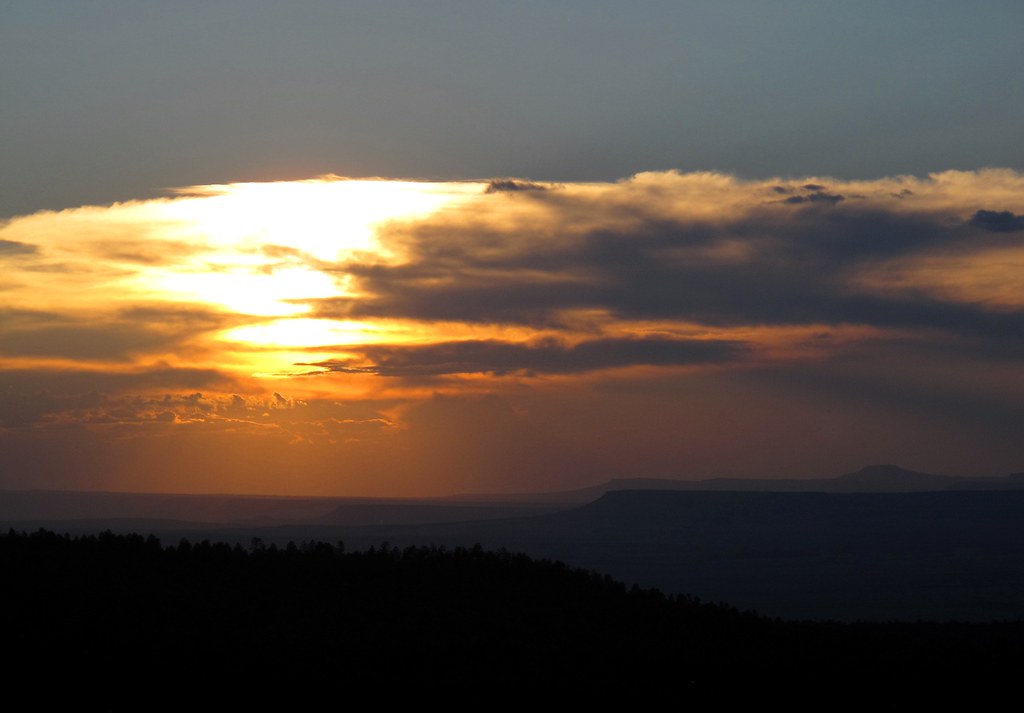
Thermonuclear Sky
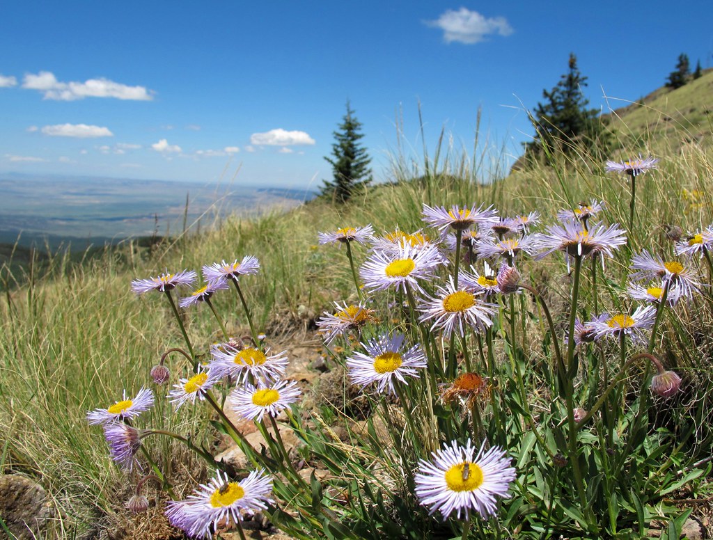
Alpine Garden

forest shadow and light
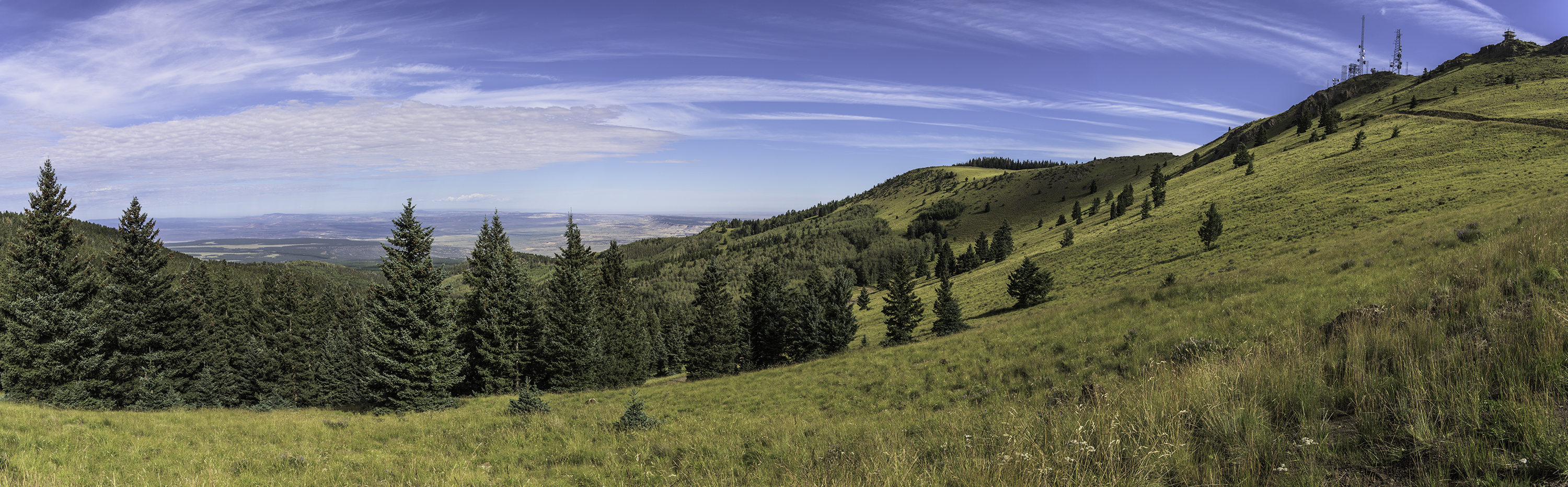
Looking North from Mt Taylor
Topographic Map of Mount Taylor, Mt Taylor, New Mexico, USA
Find elevation by address:

Places near Mount Taylor, Mt Taylor, New Mexico, USA:
San Mateo
Co Rd 5, Paguate, NM, USA
New Mexico State University Grants
Milan
Bluewater, NM, USA
Bluewater
Bobcat Pass
Prewitt
Thoreau
Lower Mission Road
Crownpoint
Ojo Encino
Mckinley County
Chaco Culture Nhs Visitor Center
Chaco Culture National Historical Park
Chetro Ketl
Pueblo Bonito
Pueblo Alto Trail
Ah-shi-sle-pah Wilderness
80 Co Rd 11
Recent Searches:
- Elevation of Groblershoop, South Africa
- Elevation of Power Generation Enterprises | Industrial Diesel Generators, Oak Ave, Canyon Country, CA, USA
- Elevation of Chesaw Rd, Oroville, WA, USA
- Elevation of N, Mt Pleasant, UT, USA
- Elevation of 6 Rue Jules Ferry, Beausoleil, France
- Elevation of Sattva Horizon, 4JC6+G9P, Vinayak Nagar, Kattigenahalli, Bengaluru, Karnataka, India
- Elevation of Great Brook Sports, Gold Star Hwy, Groton, CT, USA
- Elevation of 10 Mountain Laurels Dr, Nashua, NH, USA
- Elevation of 16 Gilboa Ln, Nashua, NH, USA
- Elevation of Laurel Rd, Townsend, TN, USA