Elevation of 48 Indian Pipe Rd, Brattleboro, VT, USA
Location: United States > Vermont > Windham County > Brattleboro > Marlboro >
Longitude: -72.71653
Latitude: 42.8758089
Elevation: 499m / 1637feet
Barometric Pressure: 95KPa
Elevation Map:
Satellite Map:
Related Photos:
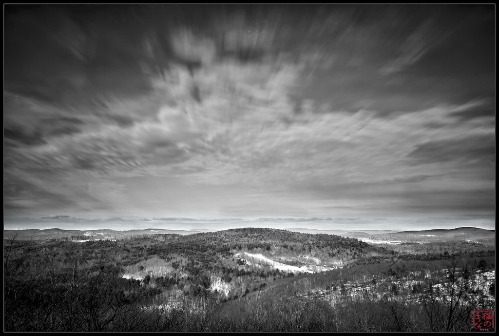
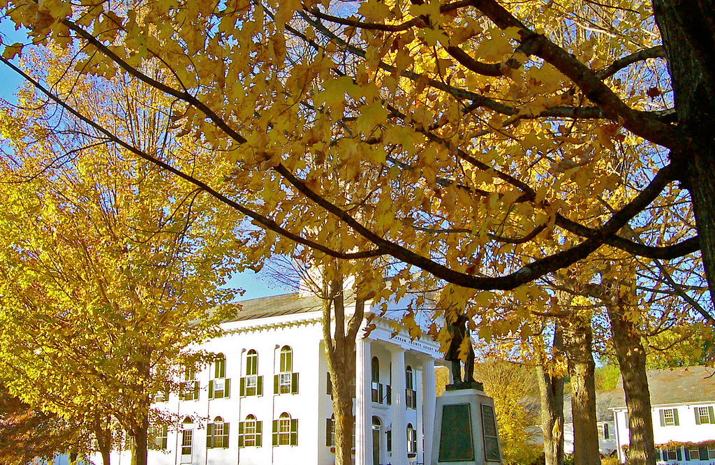
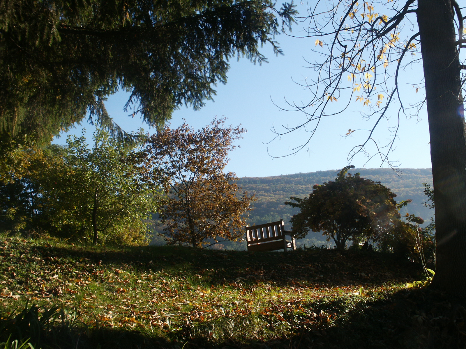
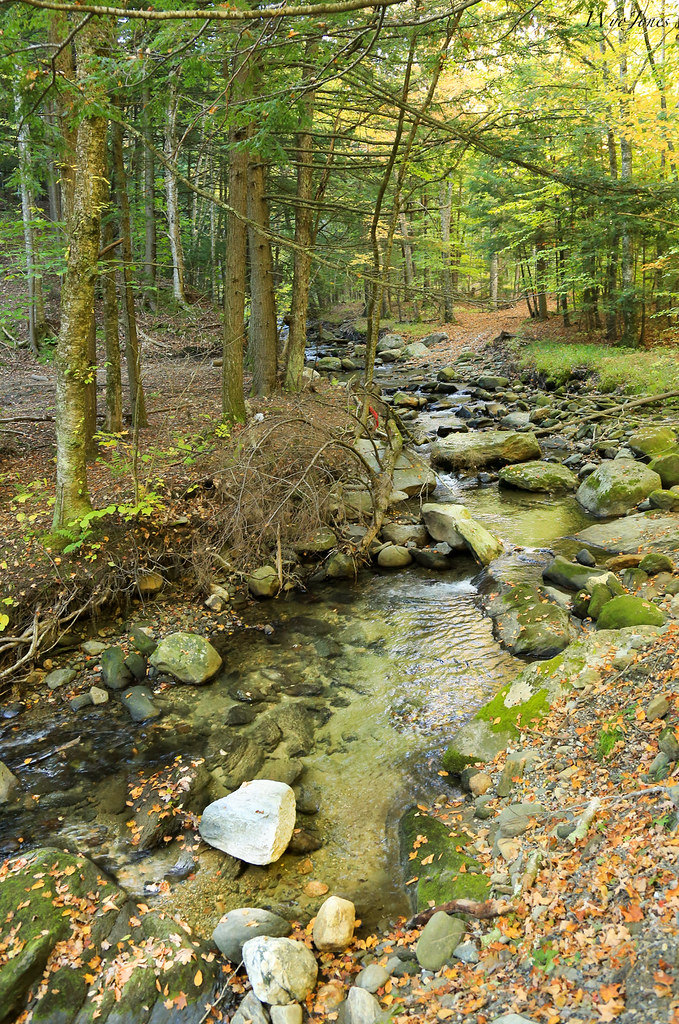
Long View
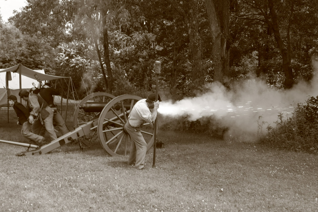
Ready, Aim, Run like Hell
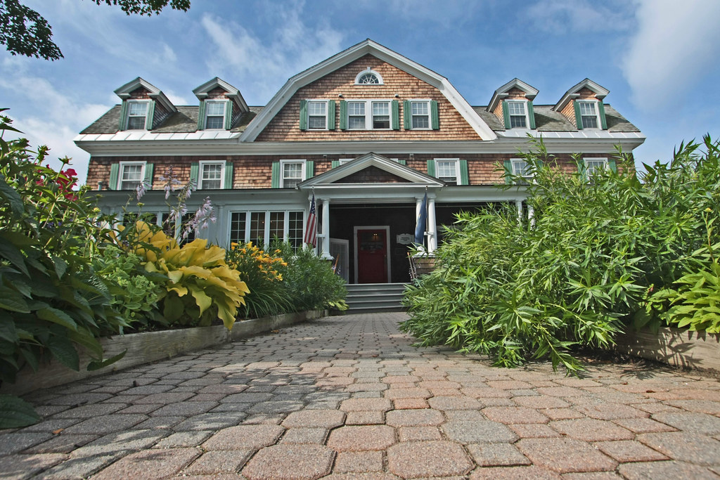
Craft Inn

Desk, April 2011
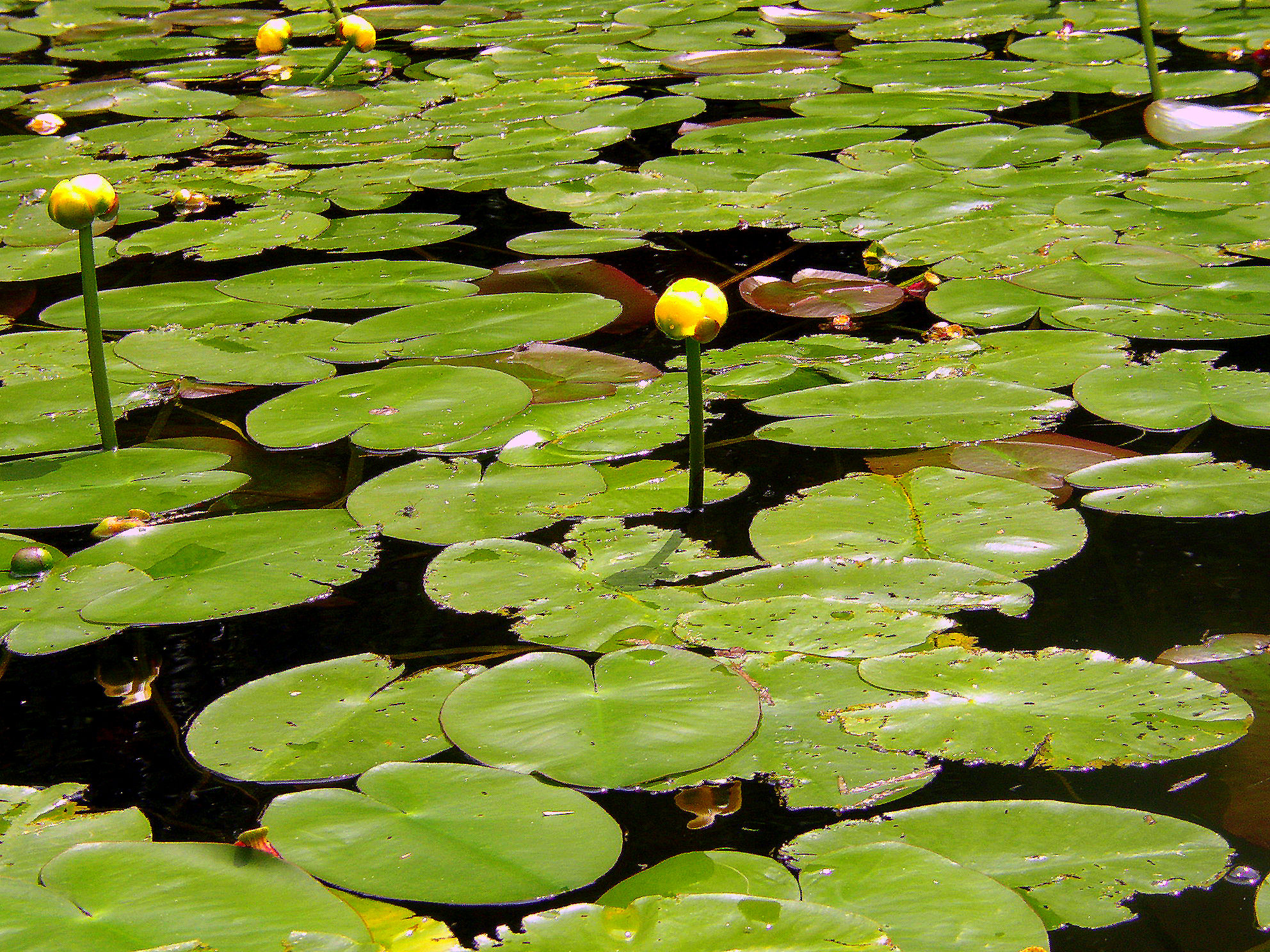
Water Lillies
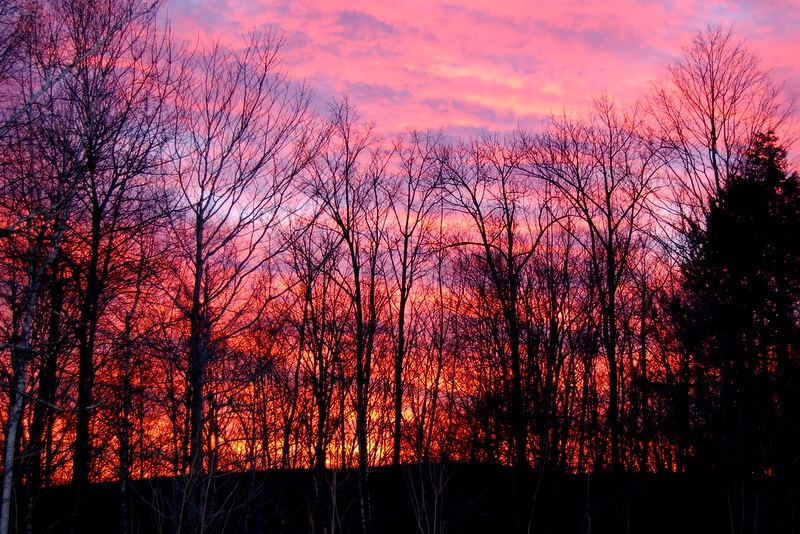
This Morning's 10 Minute Sunrise in Reverse (EXPLORED)

Brattleboro Backyards
Dinner view #perfectevening #LGG4

Brattleboro railroad bridge

Flag on Main Street
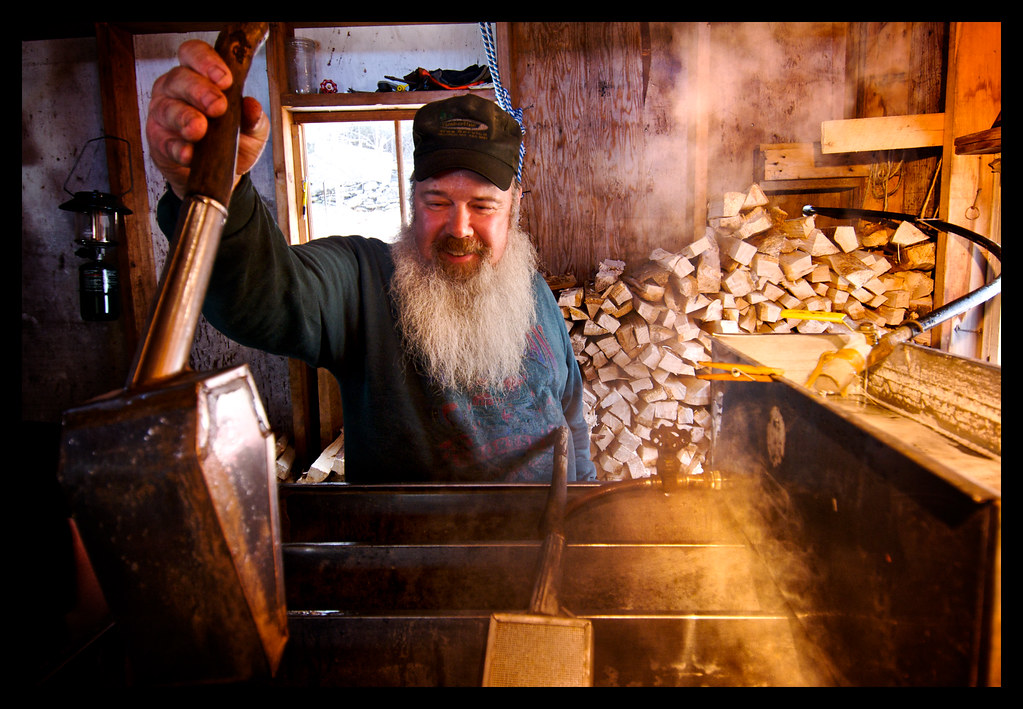
Boiling Maple Syrup
View West from Wantastiquet
VTNewfaneCommon006.jpg
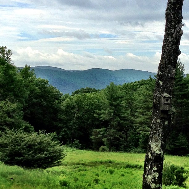
View from Frog Meadow, Vermont
#gopro meet a gorgeous view. Road tripping with the fantastic #6D from the great folks at @lumoidit
View from the loggia at Rudyard Kipling's home "Naulahka" in Dummerston,Vt.
Brattleboro overlook

Brattleboro ducks

Madame Sherri's Castle

Top of the ladder view of Brattleboro museum's annual dominoes setup. I had a big grin on my face for this entire shoot. Love dominoes and the 4 kids that set this all up did an awesome job. #squaredroid
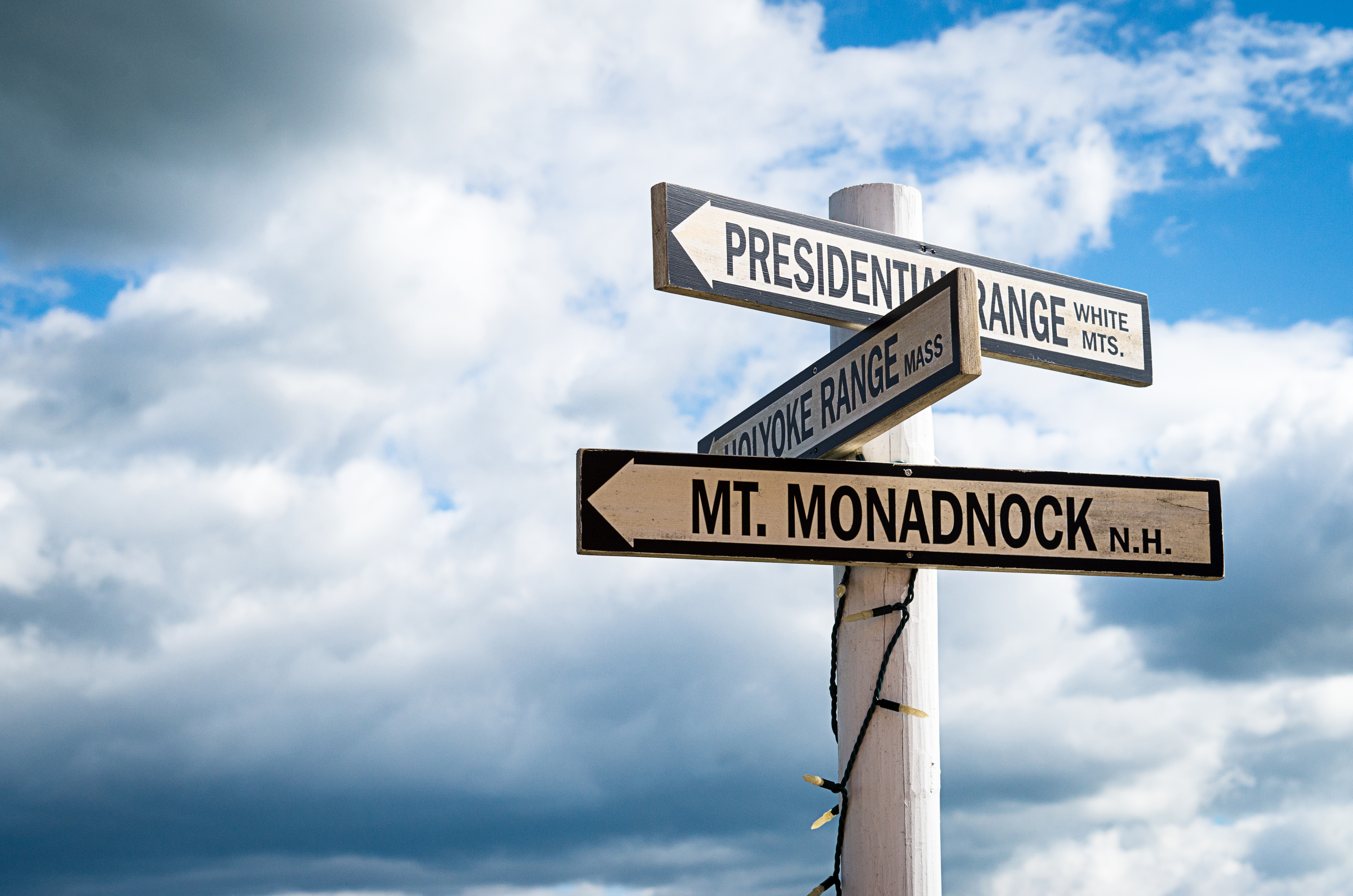
Which way to look?
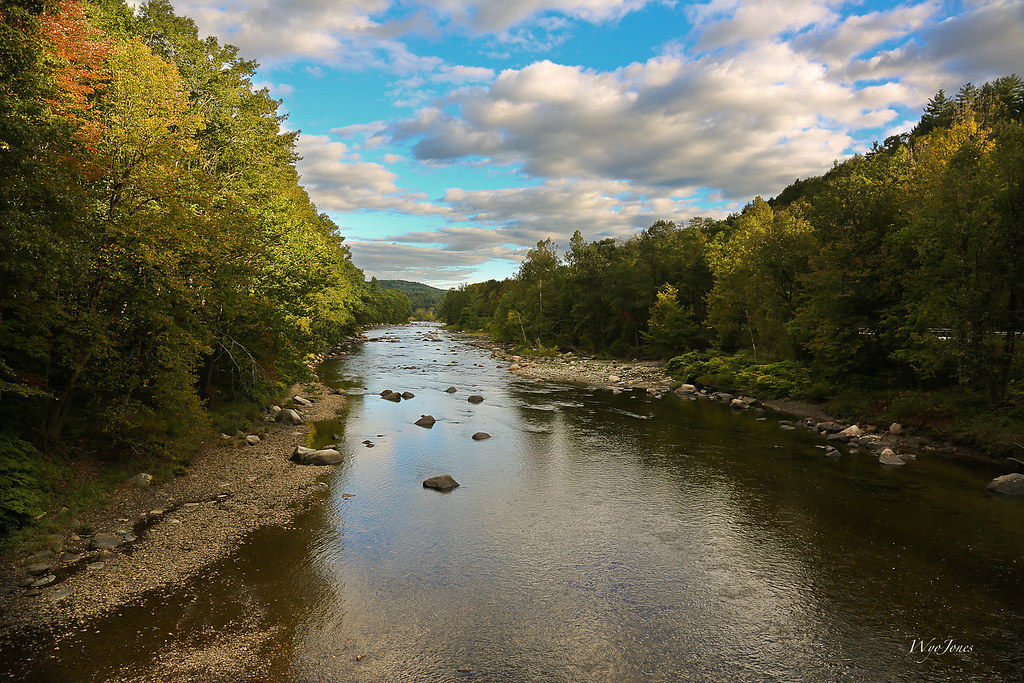
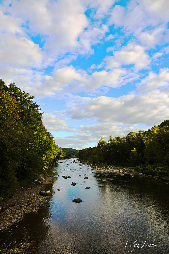
The West River
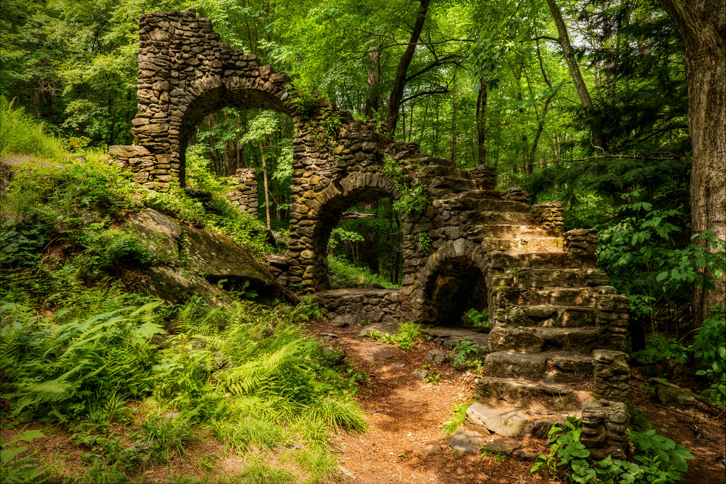
Madame Sherri's Castle Ruins

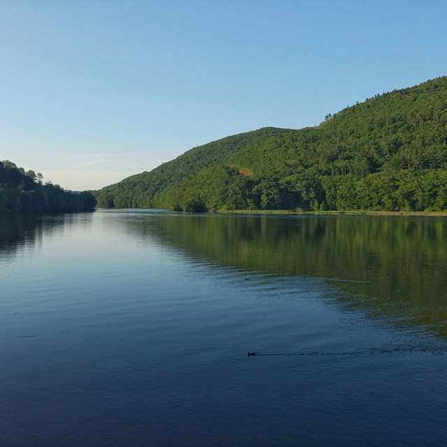
The West River at Brattleboro
River and Clouds

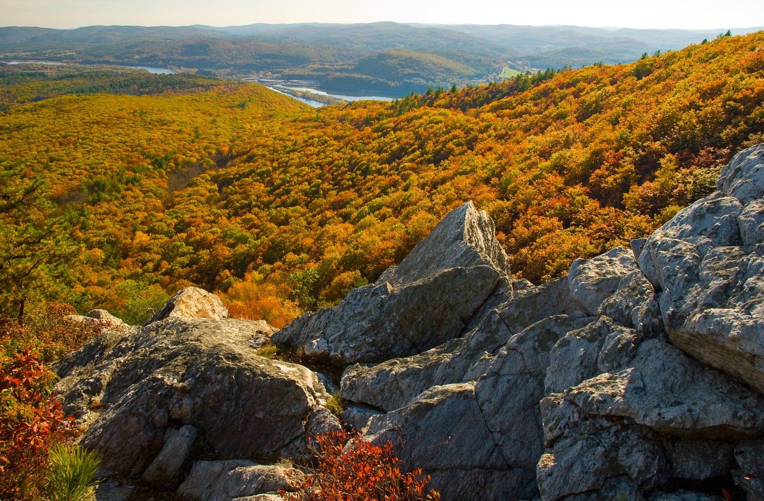
Deerfield valley

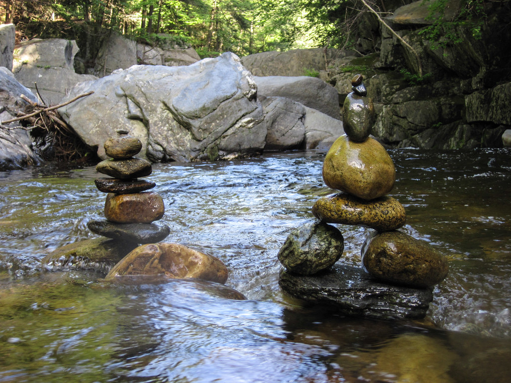
Leaning and Forking
Rocks at Halifax
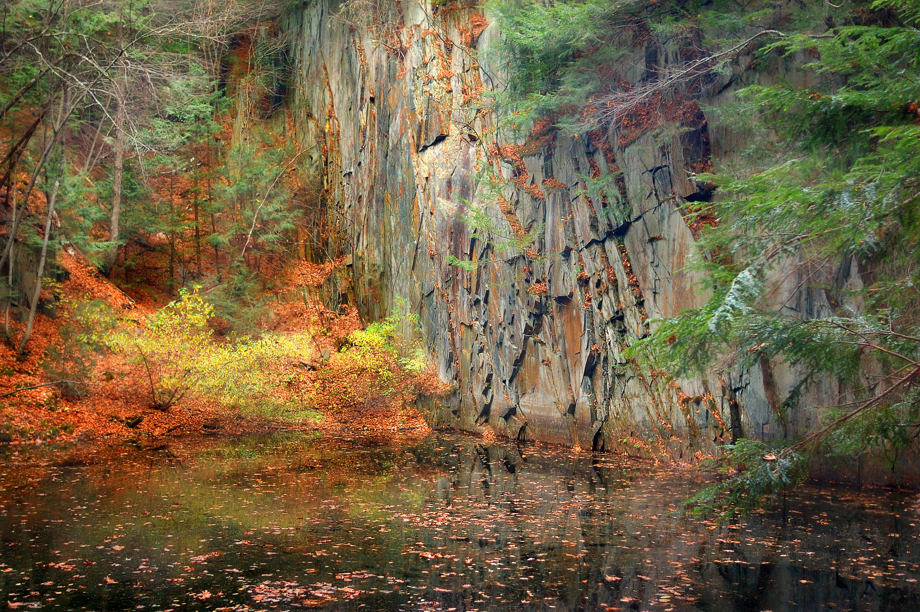
The Wall
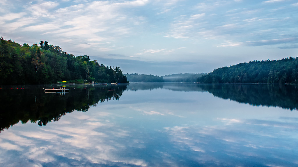
Lake Raponda, VT
Marlboro Branch
Powered the revolution. #sonya7r with #metabones adapter and #sigma50art 2 second exposure and edited in #Nik
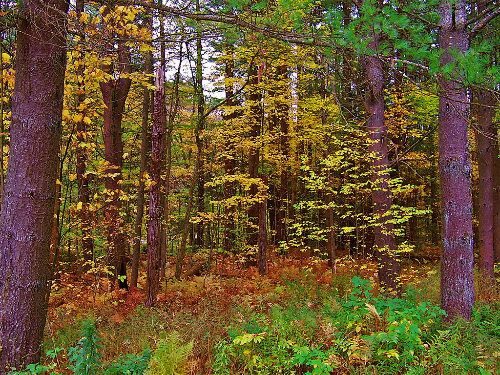
VTAutumn010.jpg

VTAutumn037.jpg
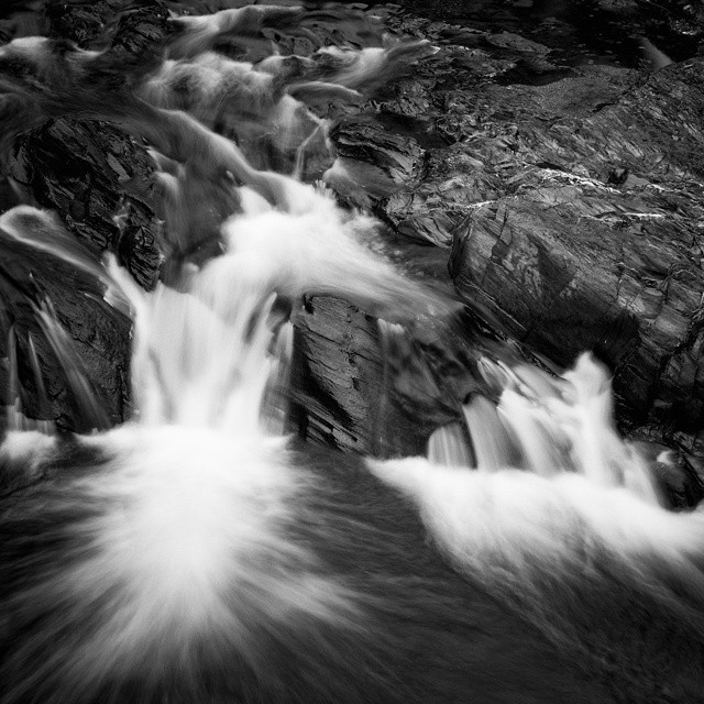
Constant II. 1/4 second @f/22 #waterfall #waterflow #vermontshots #70d #10to18mm review is now available. @jicebee you are right, better with rock cropped.
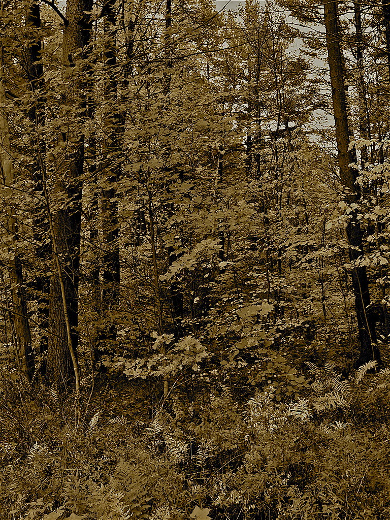
VTAutumn022.jpg
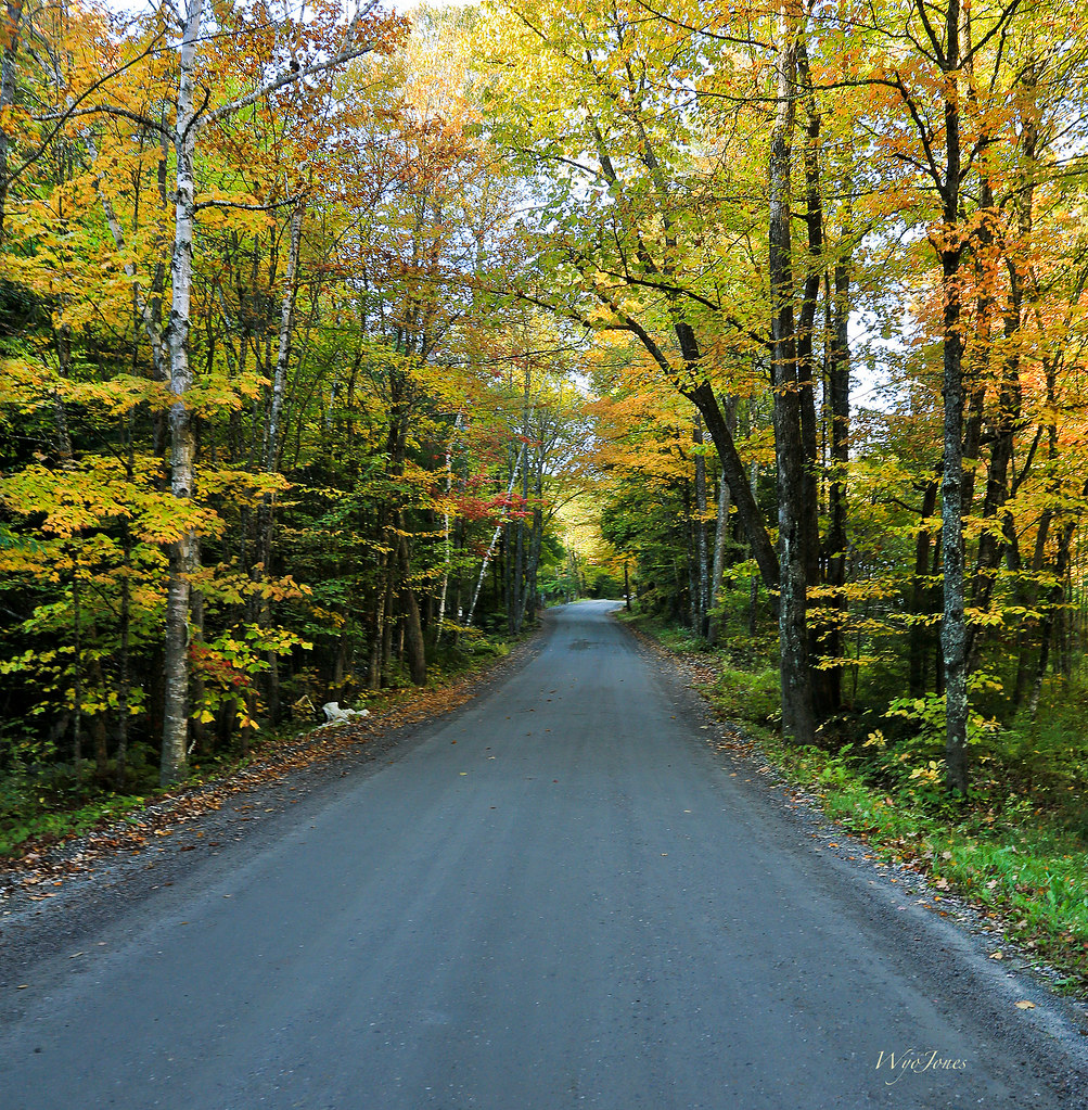
Autumn Lane
VTAutumn023.jpg

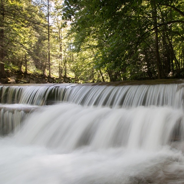
Jekyll Hyde Falls

Autumn Trail at Quechee Gorge
Topographic Map of 48 Indian Pipe Rd, Brattleboro, VT, USA
Find elevation by address:

Places near 48 Indian Pipe Rd, Brattleboro, VT, USA:
1604 Church Hollow Rd
Marlboro
530 Hamilton Rd
402 Stark Rd
48 Perry Rd
5061 Old County Rd
5051 Old County Rd
2635 Green River Rd
348 Green River Rd
297 Perry Rd
456 Hatch School Rd
2193 Old County Rd
1355 Whitneyville Rd
9 Gulf Rd
956 Brook Rd
487 Marlboro Rd
7 Record Dr
557 Old Stage Rd
West Halifax
19 Valley Rd, Brattleboro, VT, USA
Recent Searches:
- Elevation of Jadagoniai, Kaunas District Municipality, Lithuania
- Elevation of Pagonija rock, Kranto 7-oji g. 8"N, Kaunas, Lithuania
- Elevation of Co Rd 87, Jamestown, CO, USA
- Elevation of Tenjo, Cundinamarca, Colombia
- Elevation of Côte-des-Neiges, Montreal, QC H4A 3J6, Canada
- Elevation of Bobcat Dr, Helena, MT, USA
- Elevation of Zu den Ihlowbergen, Althüttendorf, Germany
- Elevation of Badaber, Peshawar, Khyber Pakhtunkhwa, Pakistan
- Elevation of SE Heron Loop, Lincoln City, OR, USA
- Elevation of Slanický ostrov, 01 Námestovo, Slovakia