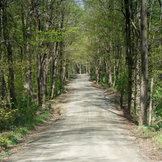
Elevation of Whitneyville Rd, Brattleboro, VT, USA
Location: United States > Vermont > Windham County > Halifax >
Longitude: -72.745816
Latitude: 42.795928
Elevation: 447m / 1467feet
Barometric Pressure: 96KPa
Elevation Map:
Satellite Map:
Related Photos:
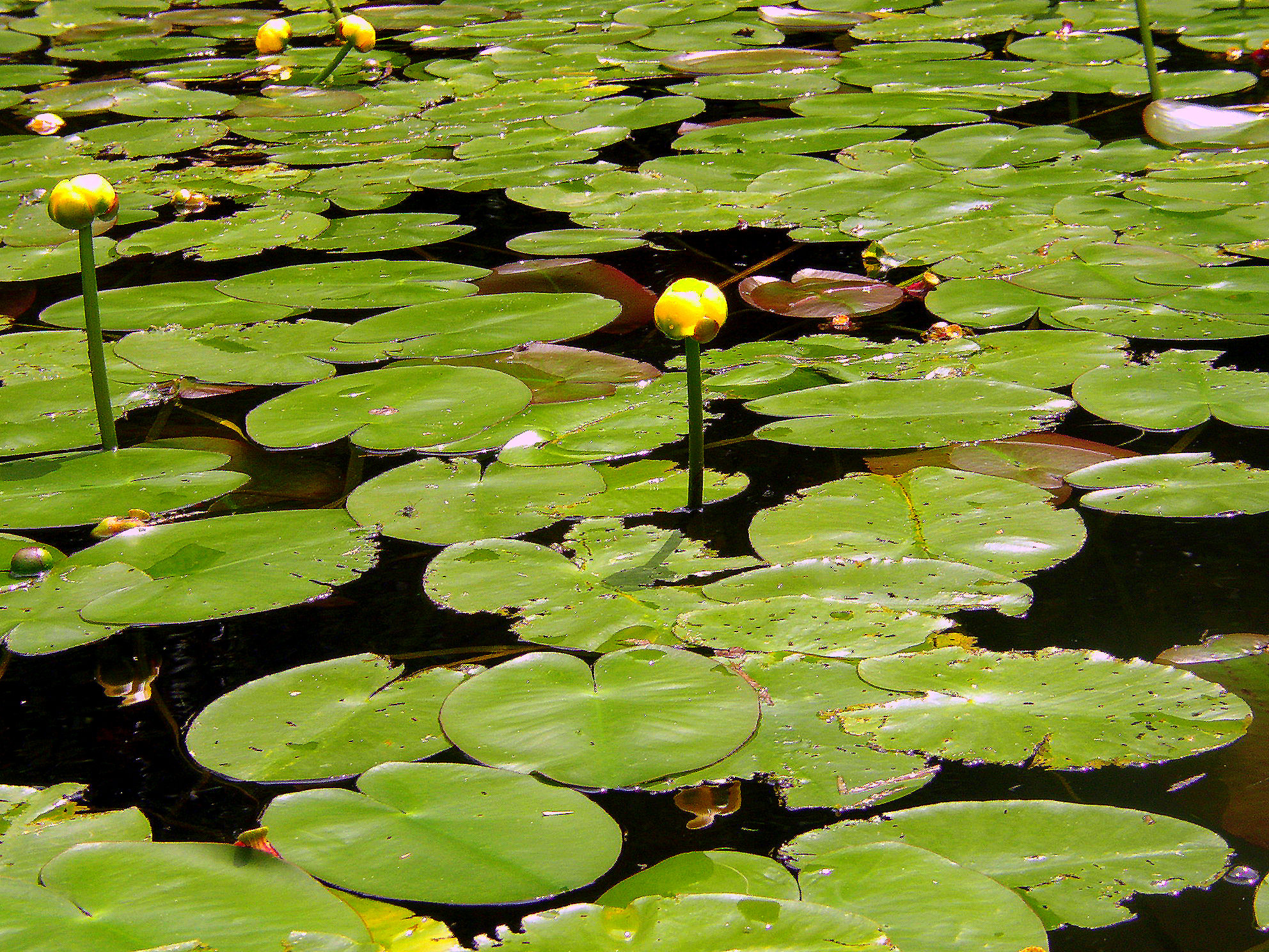
Water Lillies
A Place to Sit
In Search of a Cool Breeze
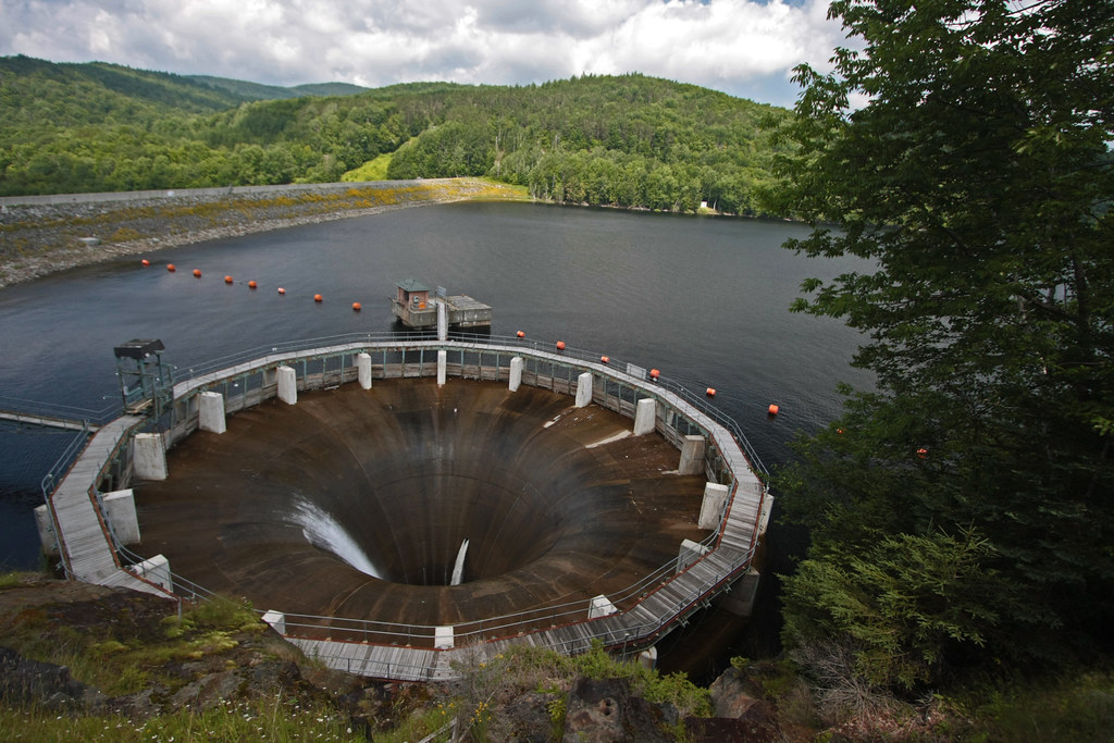
The Glory Hole ~ Harriman Reservoir
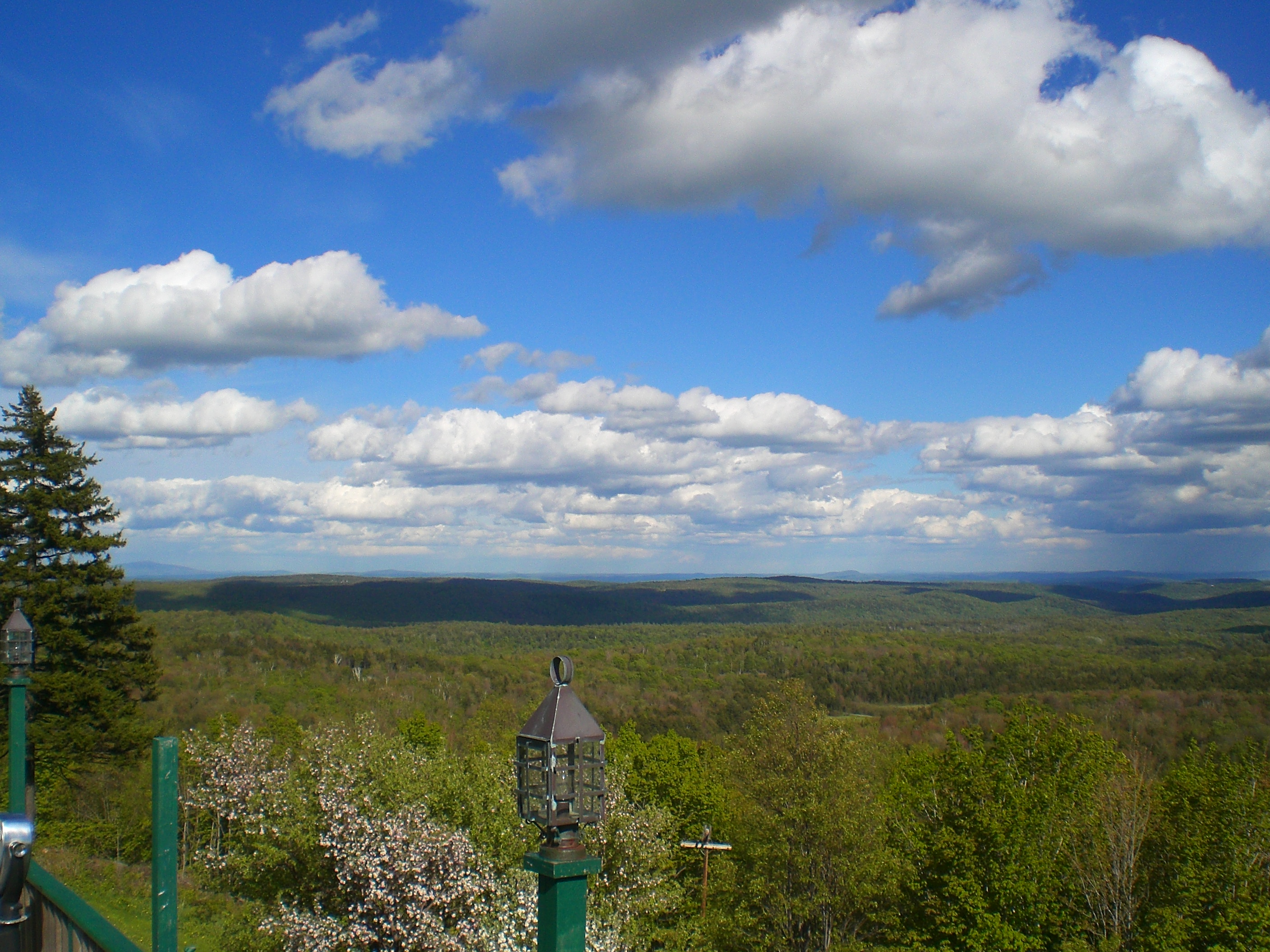
100-Mile View
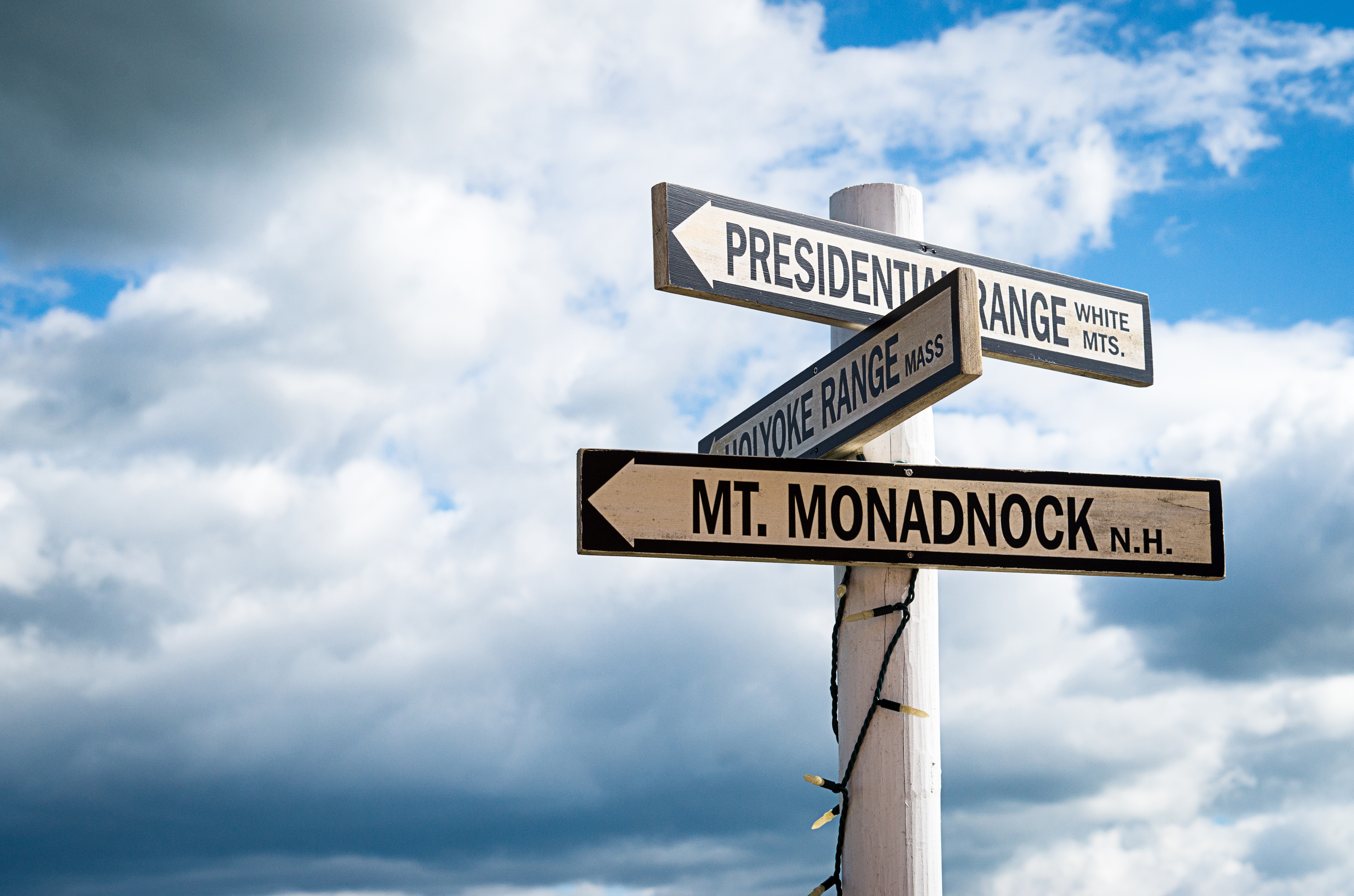
Which way to look?
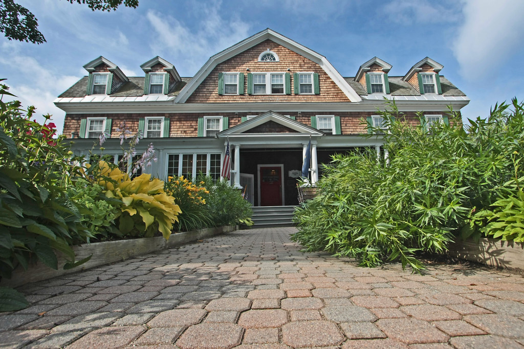
Craft Inn
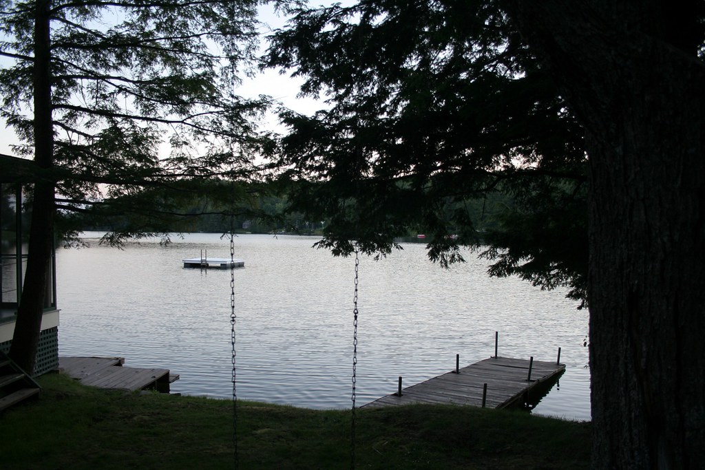
lake view

Desk, April 2011
This Morning's 10 Minute Sunrise in Reverse (EXPLORED)
Boiling Maple Syrup
#gopro meet a gorgeous view. Road tripping with the fantastic #6D from the great folks at @lumoidit
100 Mile View (Marlboro, VT)
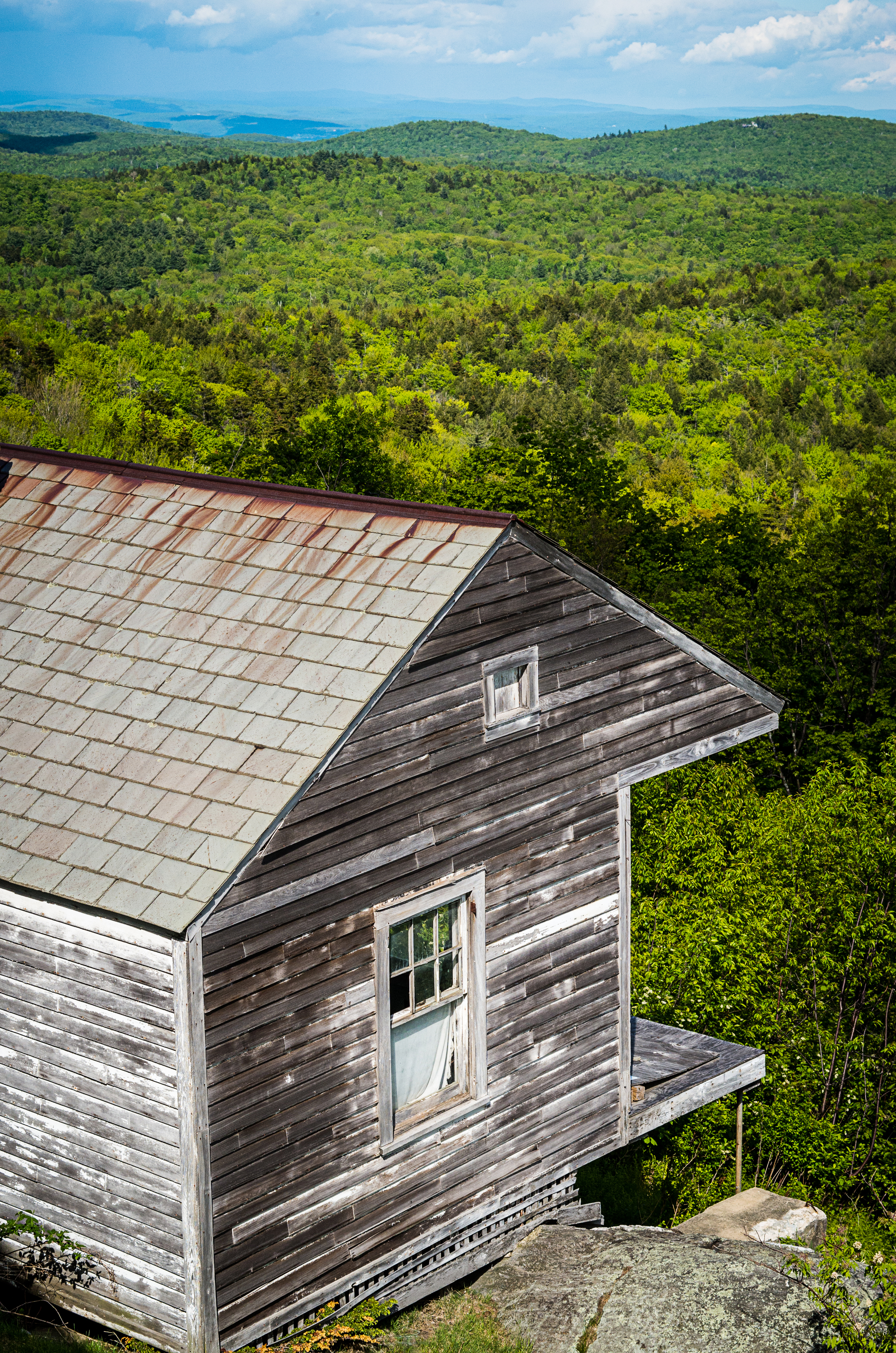
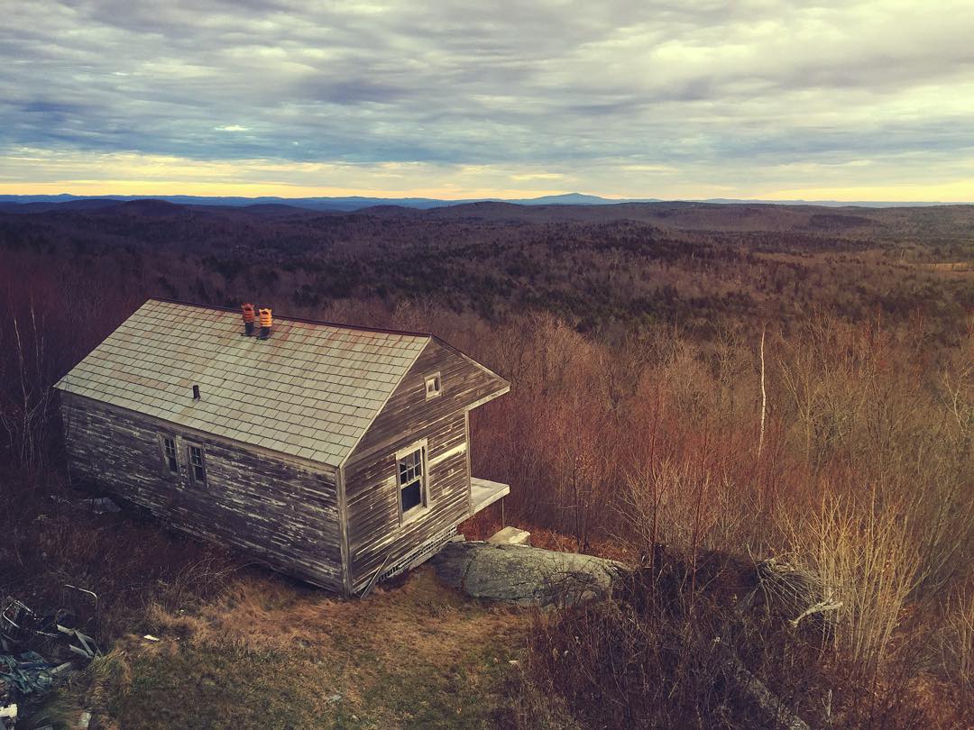
House on the mountain
View 1
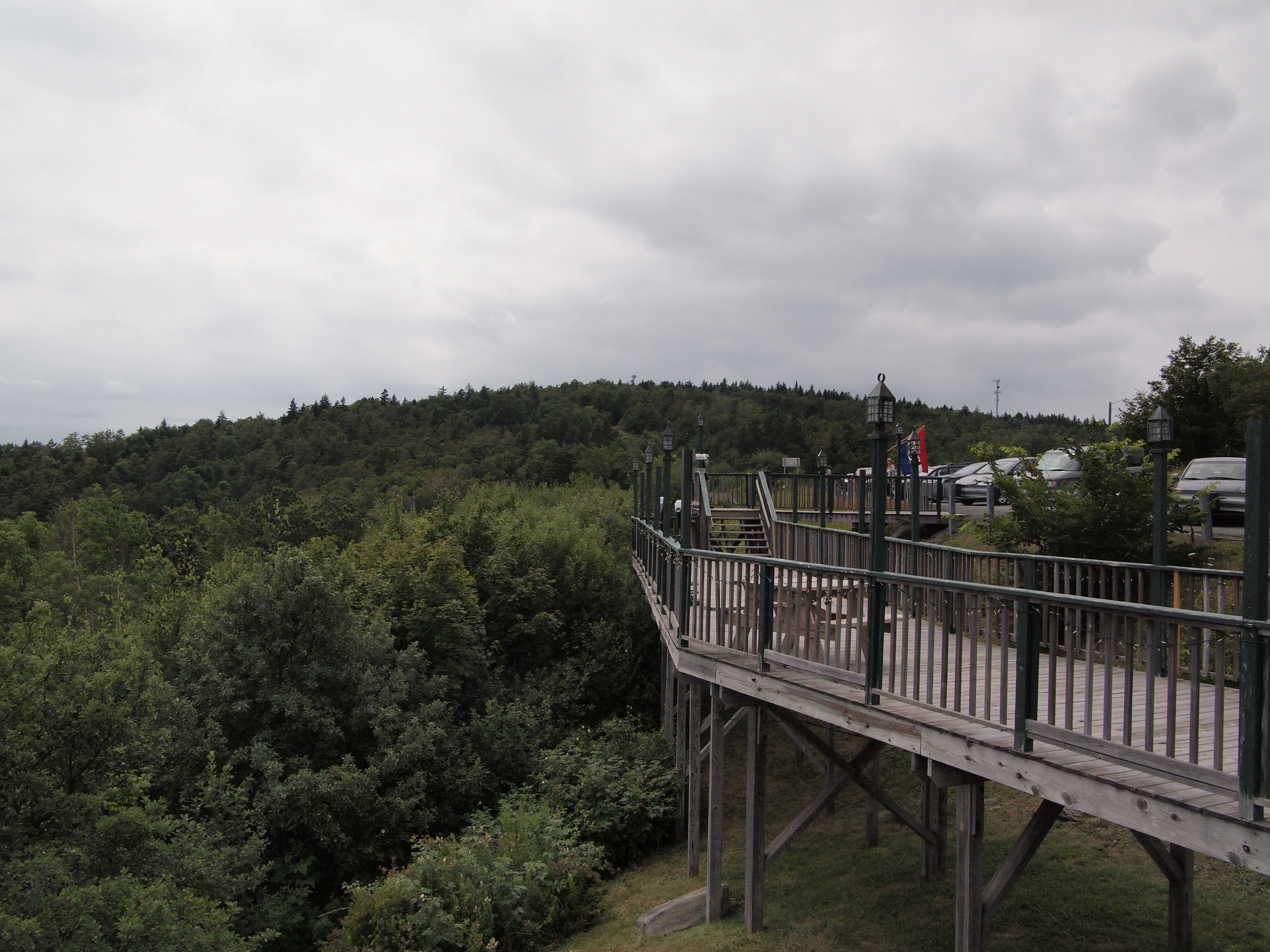
Hogback Mountain Gift Shop
100 Mile View
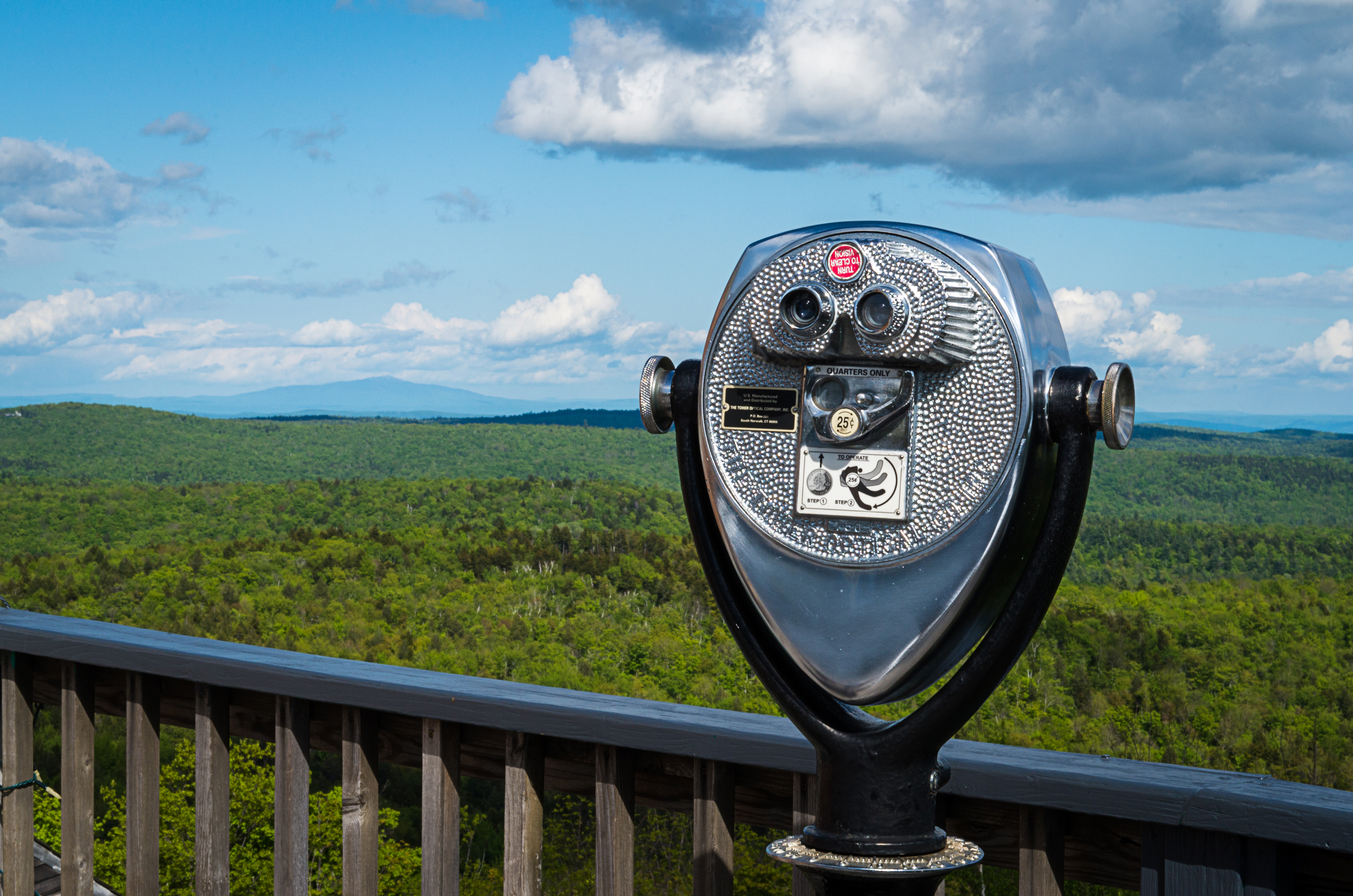
Viewfinder at the 100 Mile View (Project 365: 151/365)
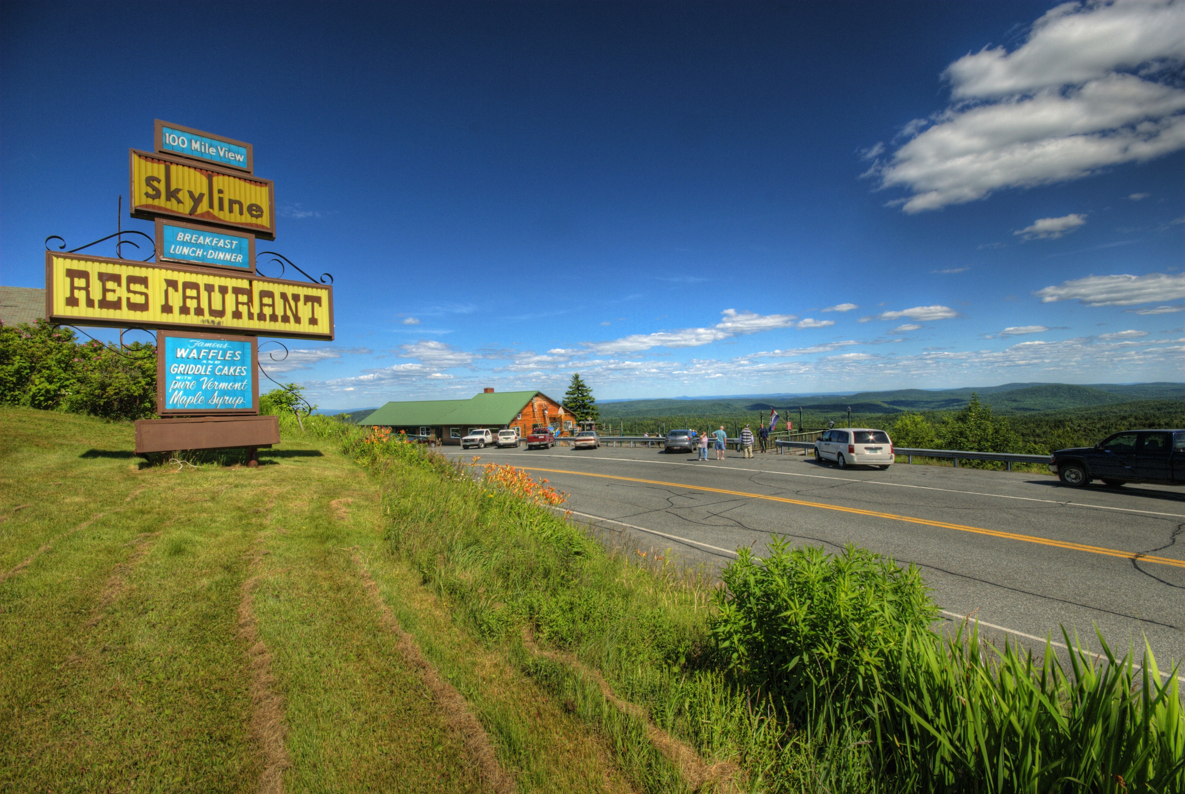
Skeline Restaurant and Hogback Mtn. Scenic Overlook
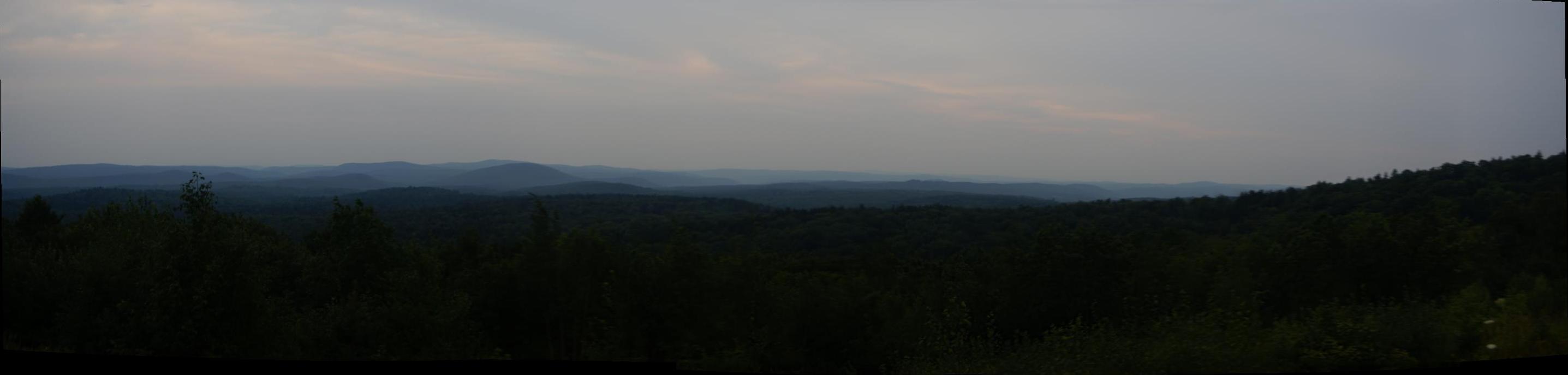
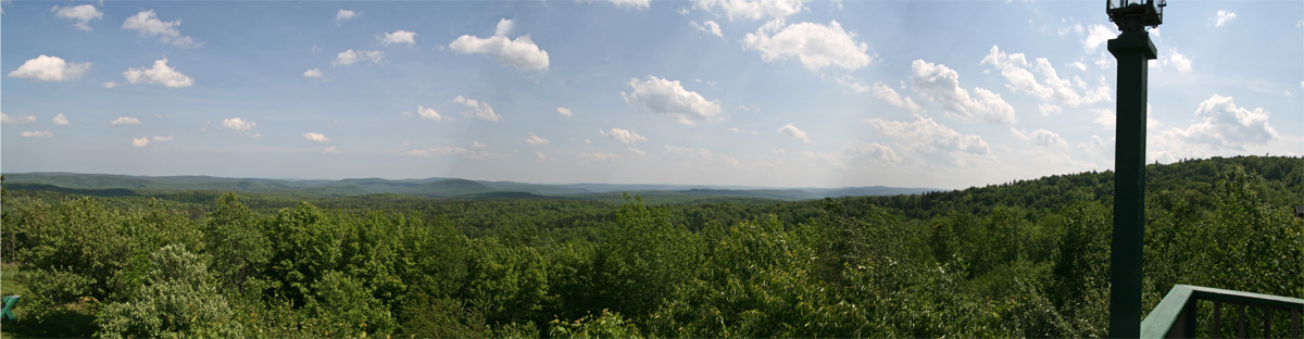
Vermont Mountains Panorama
a bluebird view
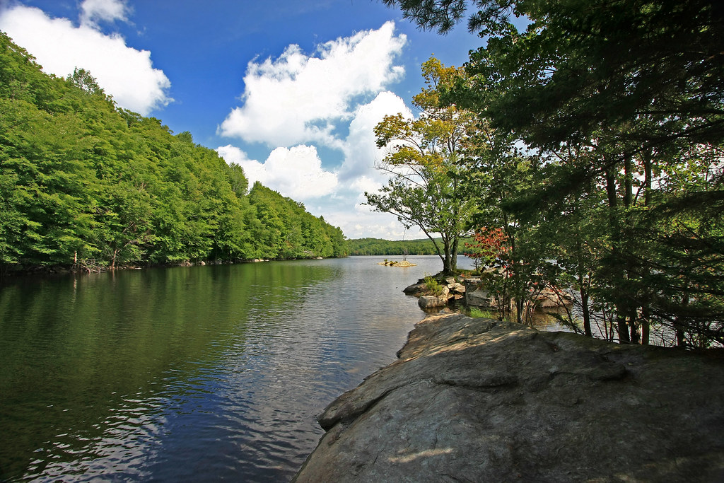
Lake Raponda, VT
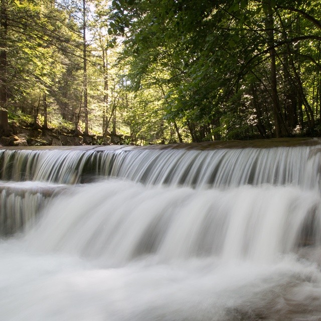
Constant II. 1/4 second @f/22 #waterfall #waterflow #vermontshots #70d #10to18mm review is now available. @jicebee you are right, better with rock cropped.

Sweet Mother & Child Purple Finch Photos . . . Explored!
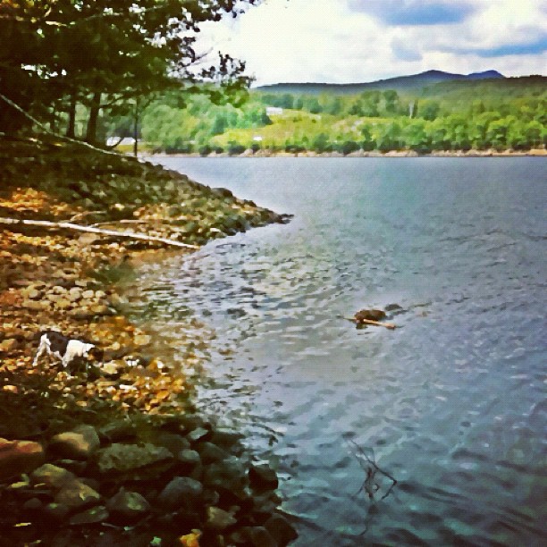
at the lake #vermont #leo swimming & #teagan hunting :)

Pond | Southern VT
Waiting for Change

Deerfield valley
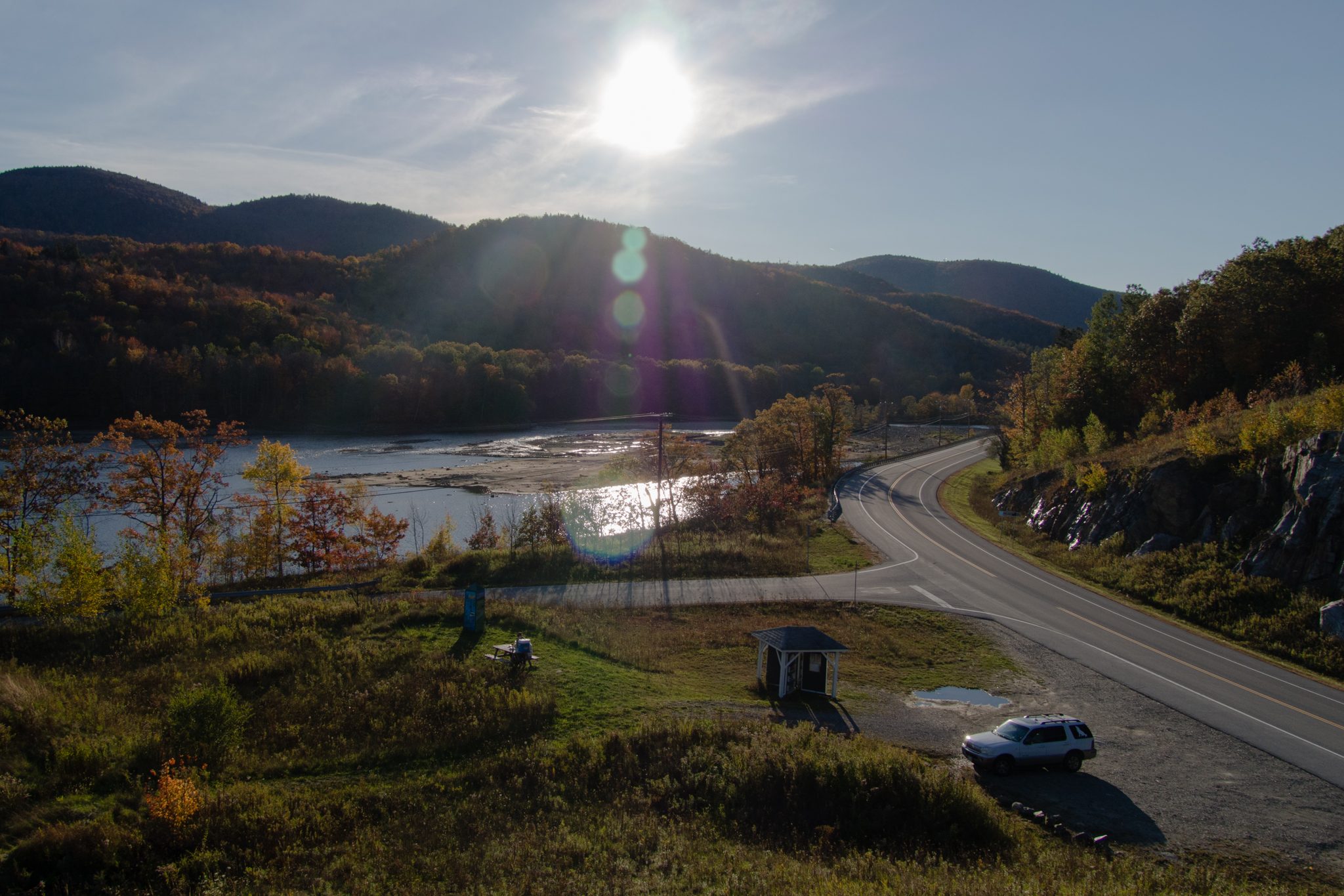
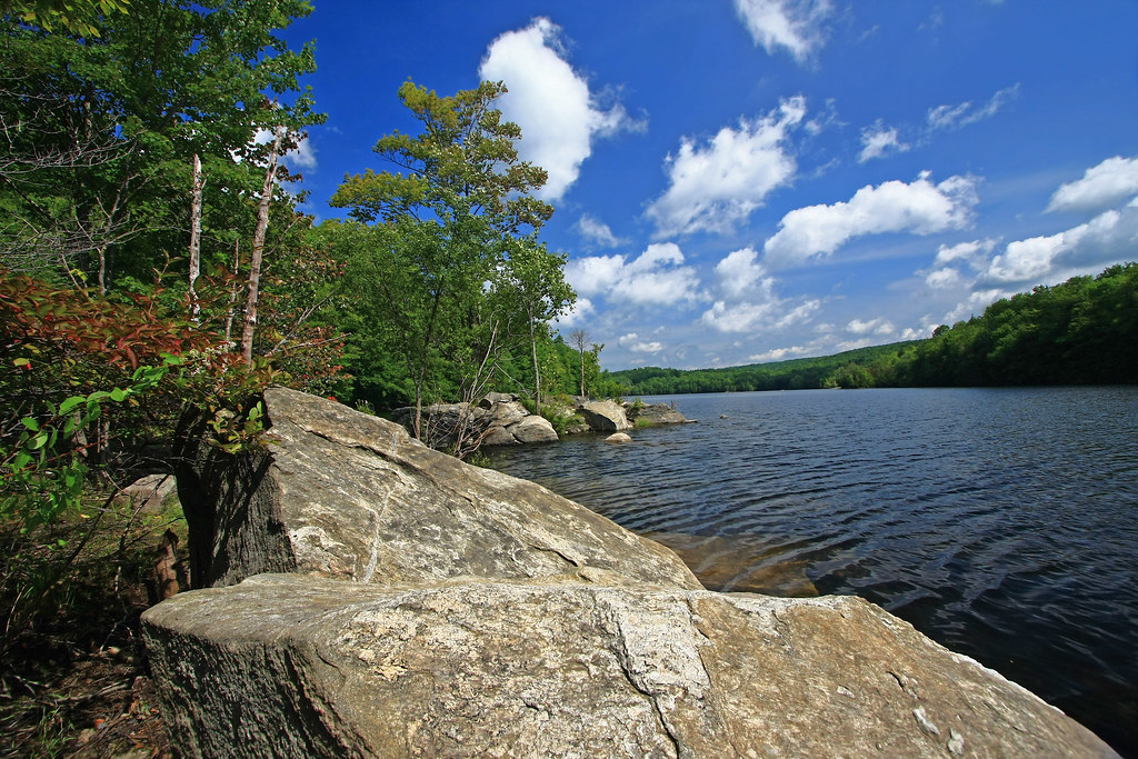
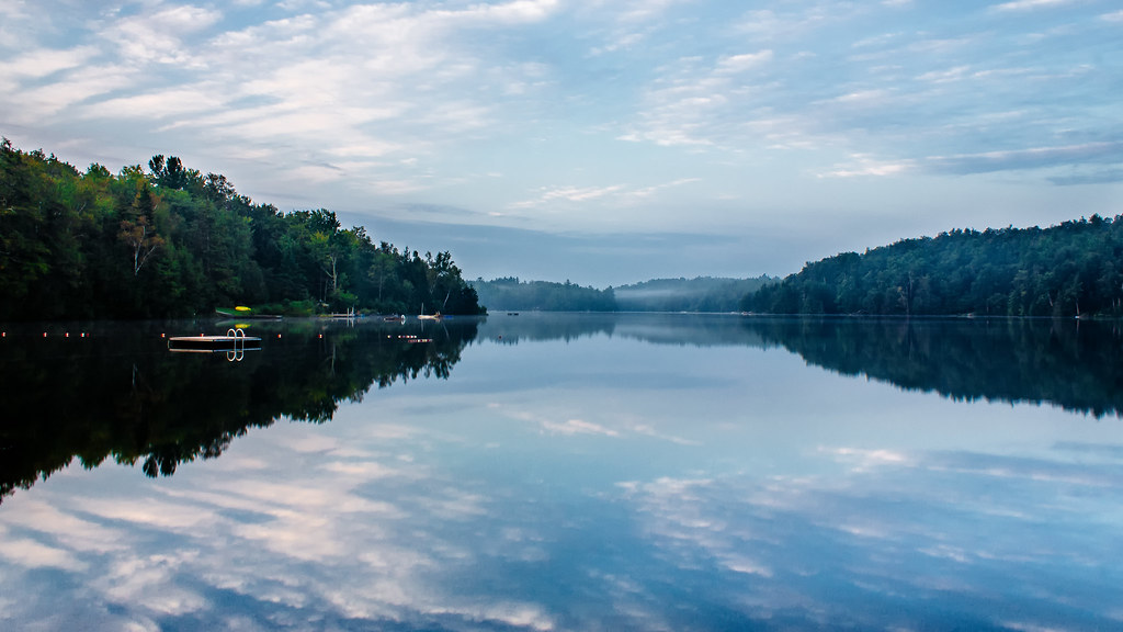
Harriman Reservoir

Congratulations!✨????✨ @breton_lens Your amazing silhouette paddle shot was chosen as a feature from the beautiful state of Vermont.
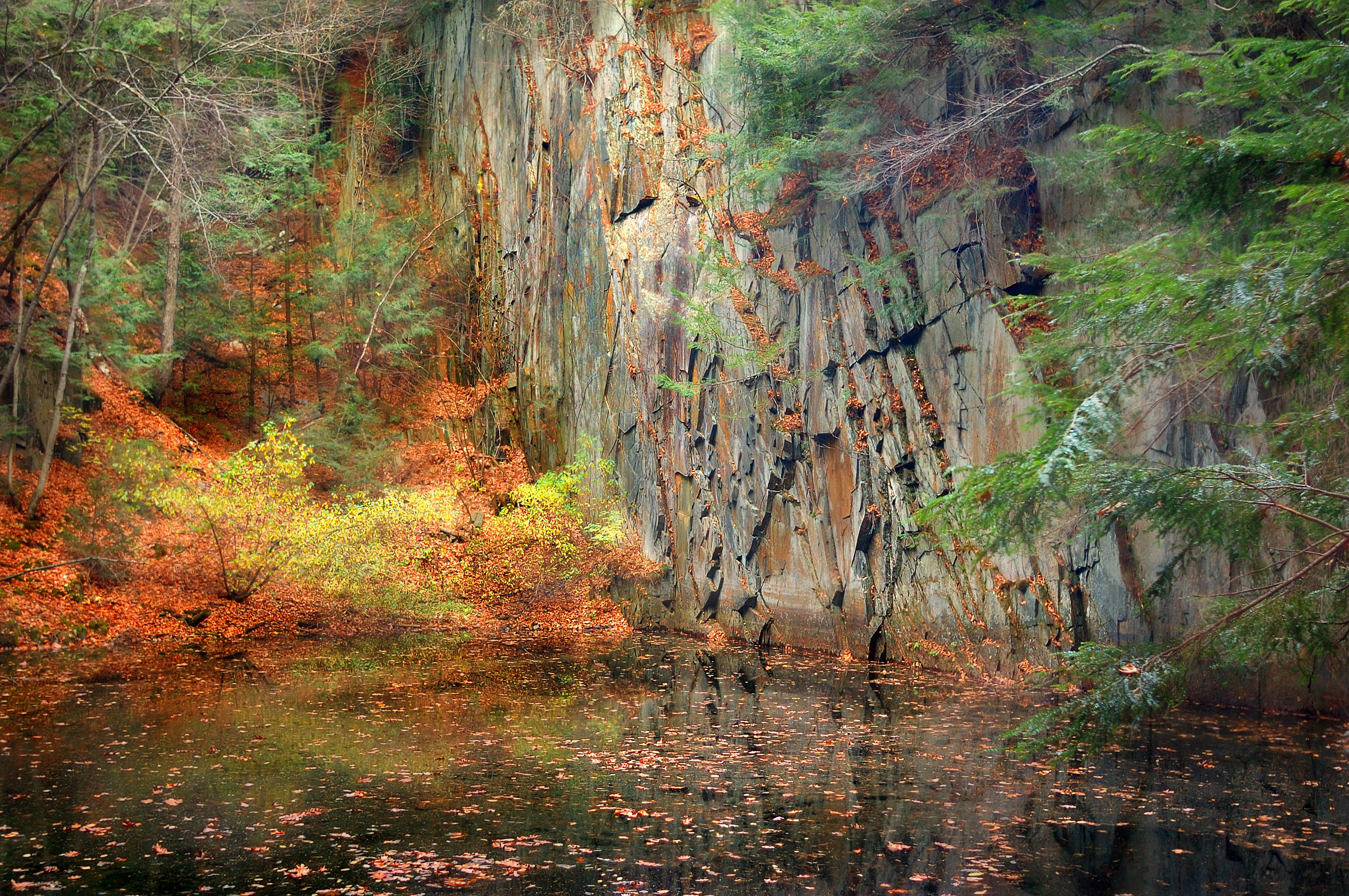
The Wall
Marlboro Branch
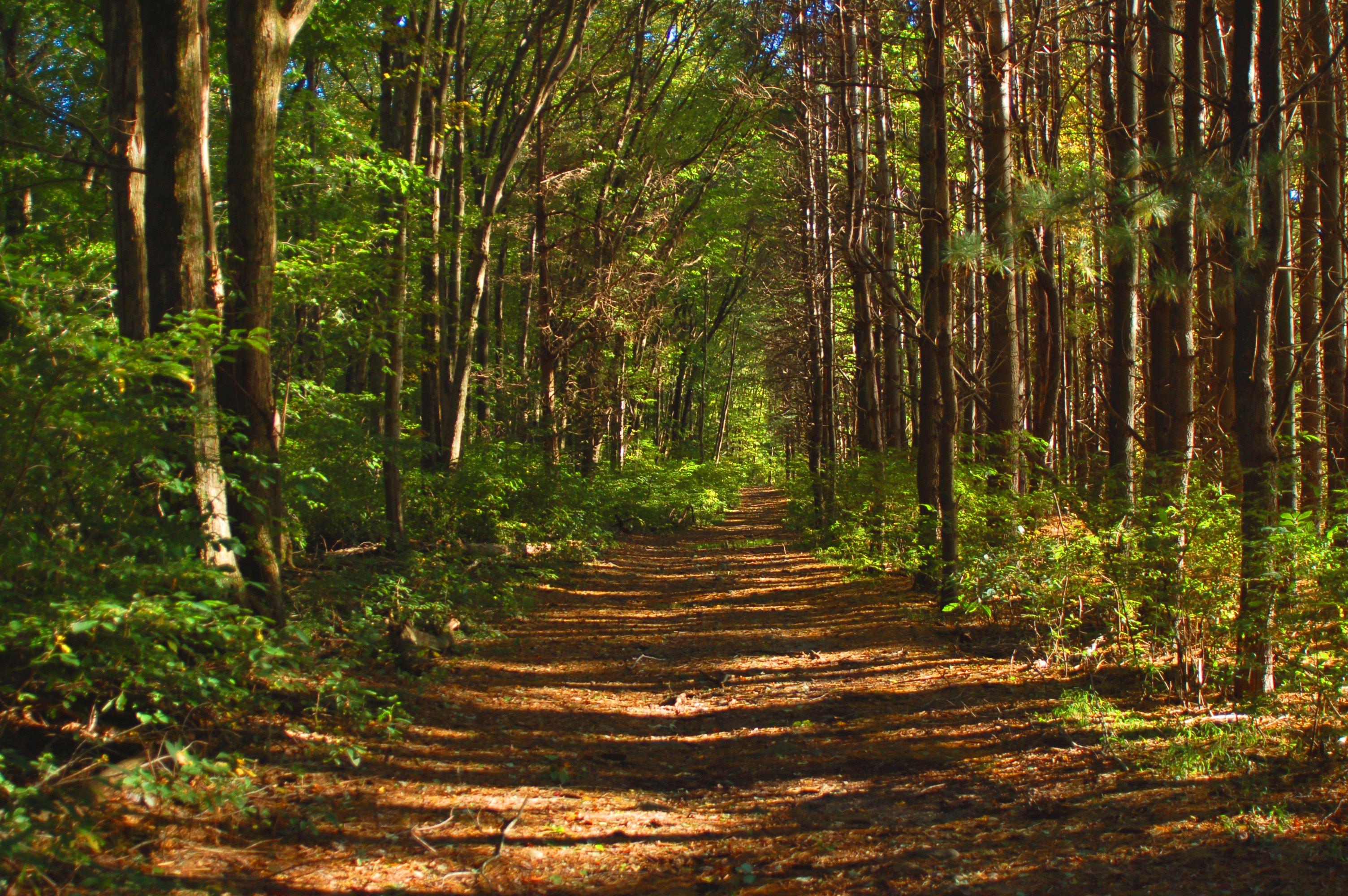
Autumn Lane
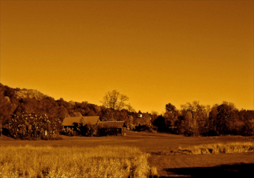
VTAutumn010.jpg

VTAutumn037.jpg
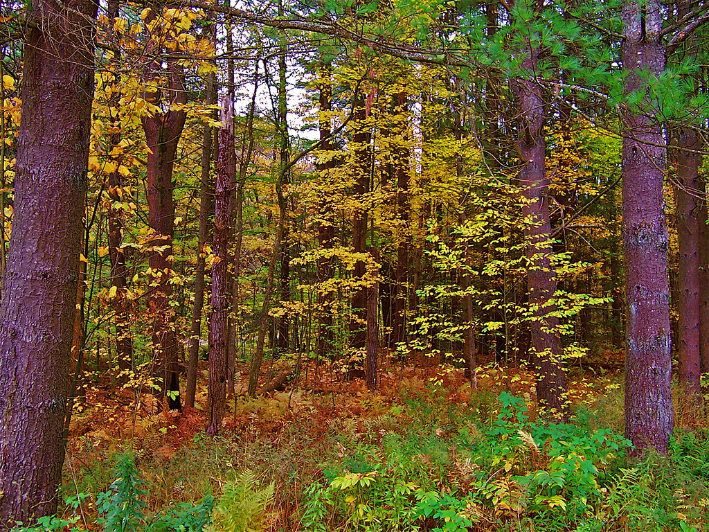
VTAutumn022.jpg
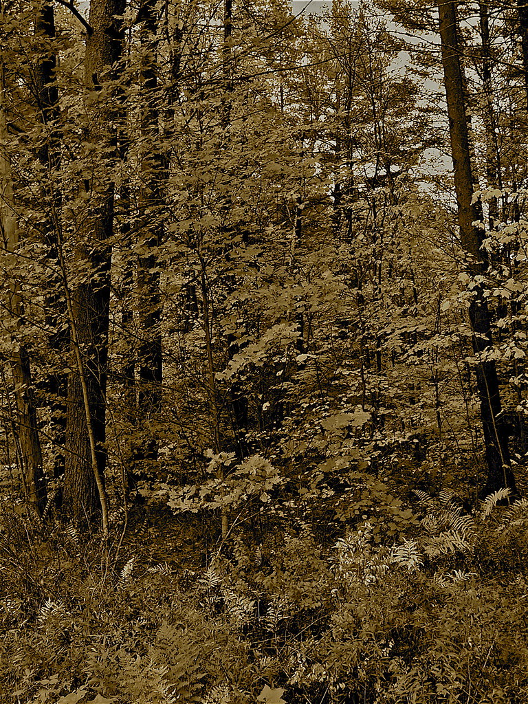
VTAutumn023.jpg
#adventureahead #newchapter #vtshots #dirtroads #spring #vermontshots my last day at @marlborocollege

Autumn Trail at Quechee Gorge
VTAutumn004.jpg
Topographic Map of Whitneyville Rd, Brattleboro, VT, USA
Find elevation by address:

Places near Whitneyville Rd, Brattleboro, VT, USA:
2193 Old County Rd
5051 Old County Rd
5061 Old County Rd
348 Green River Rd
956 Brook Rd
West Halifax
Jacksonville Stage Rd, West Halifax, VT, USA
Halifax
297 Perry Rd
2635 Green River Rd
48 Perry Rd
557 Old Stage Rd
456 Hatch School Rd
7020 Jacksonville Stage Rd
3406 Stage Road
Marlboro
271 Thompson Rd
271 Thompson Rd
294 Thompson Rd
530 Wilson Hill Rd
Recent Searches:
- Elevation of Jadagoniai, Kaunas District Municipality, Lithuania
- Elevation of Pagonija rock, Kranto 7-oji g. 8"N, Kaunas, Lithuania
- Elevation of Co Rd 87, Jamestown, CO, USA
- Elevation of Tenjo, Cundinamarca, Colombia
- Elevation of Côte-des-Neiges, Montreal, QC H4A 3J6, Canada
- Elevation of Bobcat Dr, Helena, MT, USA
- Elevation of Zu den Ihlowbergen, Althüttendorf, Germany
- Elevation of Badaber, Peshawar, Khyber Pakhtunkhwa, Pakistan
- Elevation of SE Heron Loop, Lincoln City, OR, USA
- Elevation of Slanický ostrov, 01 Námestovo, Slovakia