Elevation of 37 Tower Rd, Moorefield, ON N0G 2K0, Canada
Location: Canada > Ontario > Bruce County > Arran-elderslie > Chesley >
Longitude: -81.094350
Latitude: 44.3054105
Elevation: 292m / 958feet
Barometric Pressure: 98KPa
Elevation Map:
Satellite Map:
Related Photos:

GO CANADA GO!

Stone Hedge

Fall Morning

Morning Dawn
20140617-_E1A4513.jpg

Welcoming path
20140617-_E1A4518.jpg

Me!

Tall enough

Teeswater River - Paisley

Saugeen 058
Saugeen 017

Mennonite Auction 2012 (40)

Saugeen 037

Saugeen 039
Saugeen 042

Fall corn field
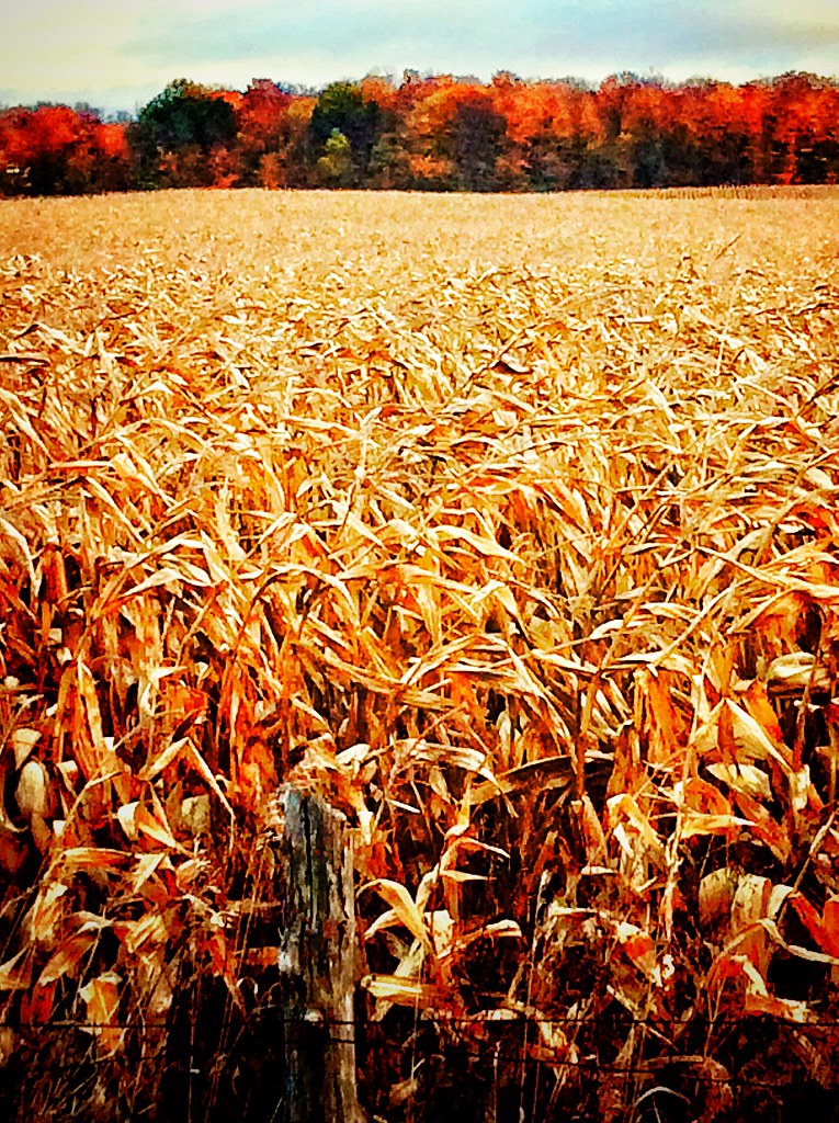
Corn Field in Fall
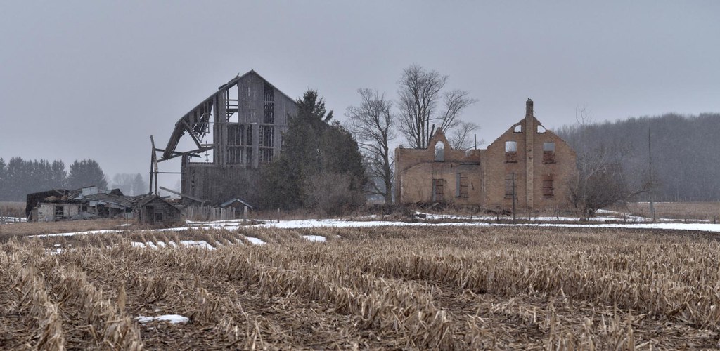
Skeletal remains
Topographic Map of 37 Tower Rd, Moorefield, ON N0G 2K0, Canada
Find elevation by address:

Places near 37 Tower Rd, Moorefield, ON N0G 2K0, Canada:
35 Tower Rd
Chesley
632 Lake Rosalind Road 6
Arran-elderslie
Dove Road
Hanover
Brockton
156655 Concession Rd 7a
1506 Greenock Brant
72 Hamilton St
Bruce County
Walkerton
Tara
Cargill
9 Johnstone Blvd
422410 Concession 6 Ndr
Allan Park
Kilsyth
562919 Grey Rd 25
Williamsford
Recent Searches:
- Elevation of Corso Fratelli Cairoli, 35, Macerata MC, Italy
- Elevation of Tallevast Rd, Sarasota, FL, USA
- Elevation of 4th St E, Sonoma, CA, USA
- Elevation of Black Hollow Rd, Pennsdale, PA, USA
- Elevation of Oakland Ave, Williamsport, PA, USA
- Elevation of Pedrógão Grande, Portugal
- Elevation of Klee Dr, Martinsburg, WV, USA
- Elevation of Via Roma, Pieranica CR, Italy
- Elevation of Tavkvetili Mountain, Georgia
- Elevation of Hartfords Bluff Cir, Mt Pleasant, SC, USA