Elevation of Williamsford, ON N0H 2V0, Canada
Location: Canada > Ontario > Grey County > Chatsworth >
Longitude: -80.871458
Latitude: 44.377956
Elevation: -10000m / -32808feet
Barometric Pressure: 295KPa
Elevation Map:
Satellite Map:
Related Photos:

Take me home country road...

Stacked for Winter-3479

Winding Winter River-3460
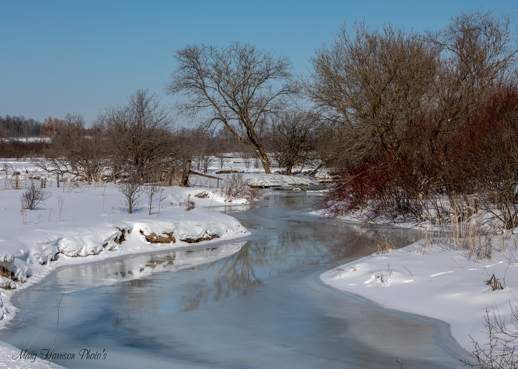
Pretty Icy River-

River Long View-3462

Pastoral-3986

Morning Dawn

Welcoming path

Tall enough
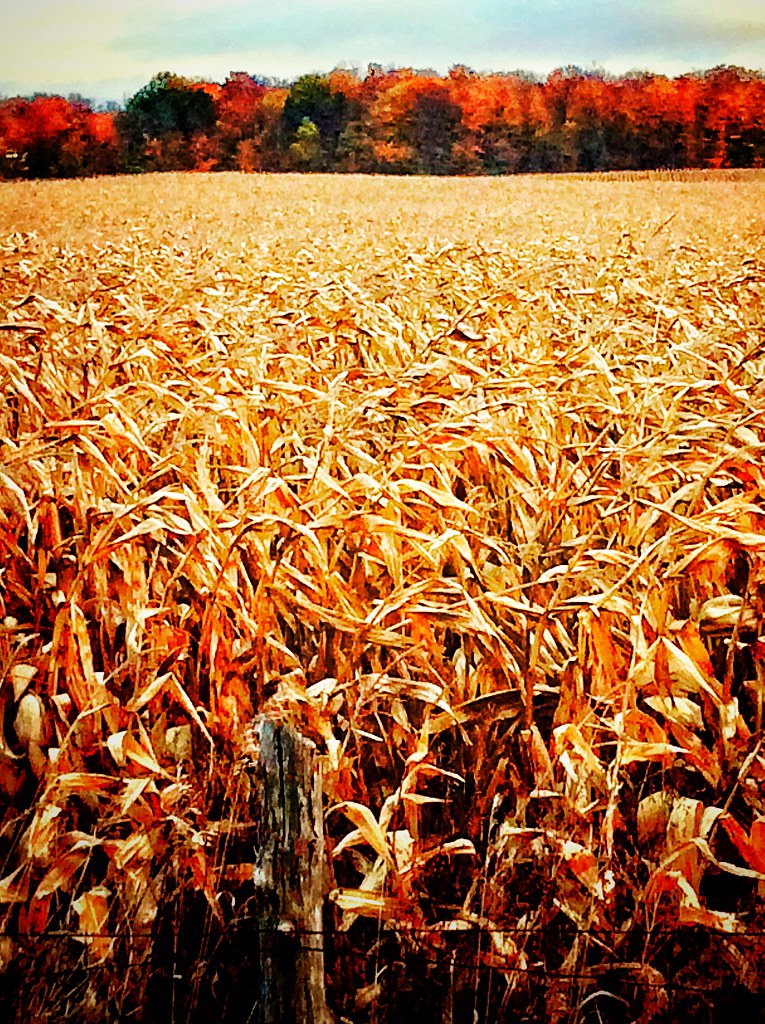
Corn Field in Fall

Fall corn field

The sunset are to the west and east at the farm.

Wild Ginger at the Kolapore Uplands Tracking Weekend May 2012

Weavers Creek Falls 1
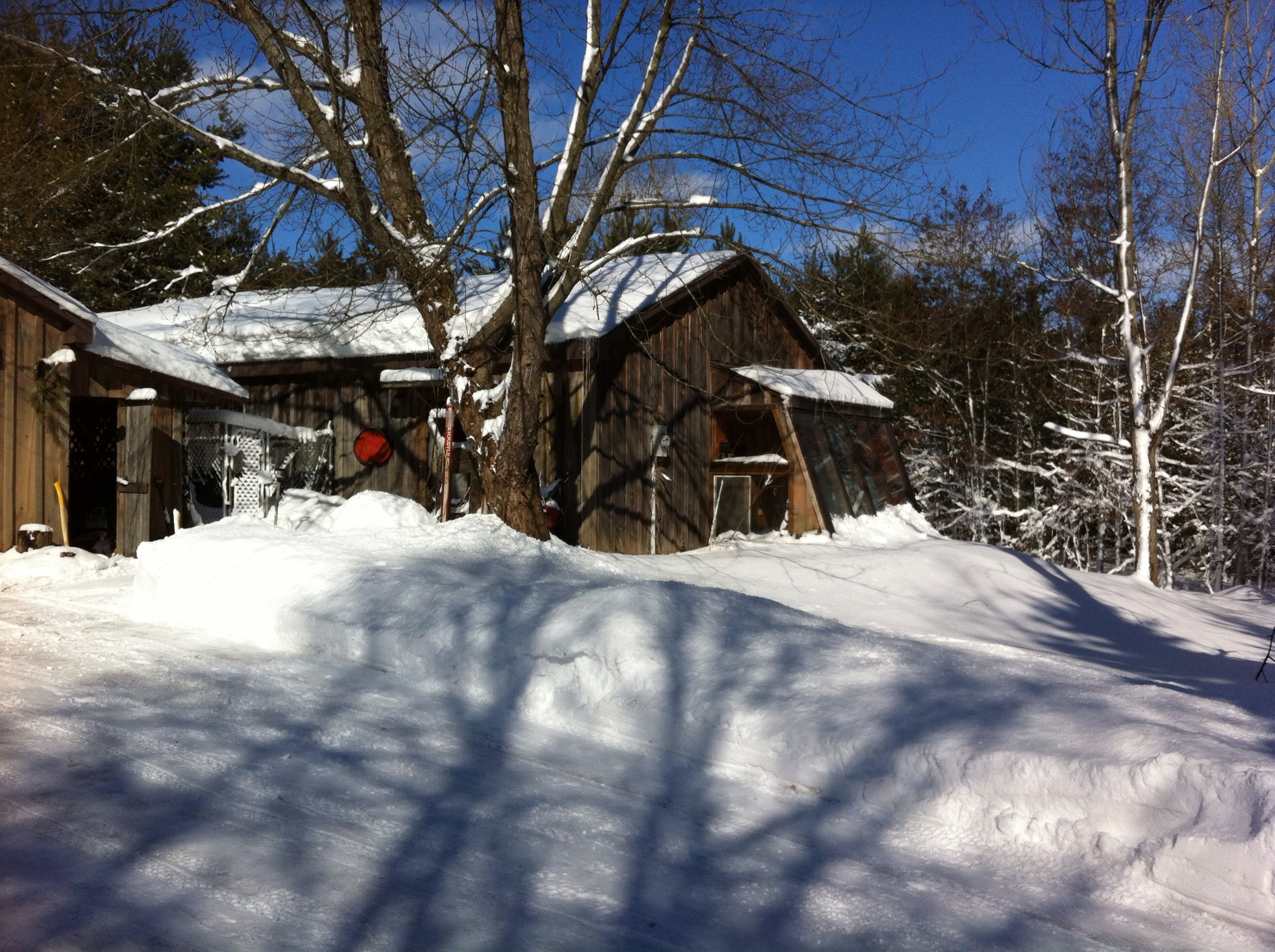
March 2012

Rail fenced pasture
Topographic Map of Williamsford, ON N0H 2V0, Canada
Find elevation by address:

Places near Williamsford, ON N0H 2V0, Canada:
Chatsworth
562919 Grey Rd 25
680176 Chatsworth Road 24
Holland Centre
Chatsworth
496923 N Veterans Rd
Townsend Lake Road
156655 Concession Rd 7a
313869 On-6
Berkeley
56 Sussex Square
Grey County Rd 18, Owen Sound, ON N4K 5N8, Canada
422410 Concession 6 Ndr
West Grey
540226 Side Rd 80
597299 Grey Rd 29
Bognor
Owen Sound Hospital
Kilsyth
Walters Falls
Recent Searches:
- Elevation of Tenjo, Cundinamarca, Colombia
- Elevation of Côte-des-Neiges, Montreal, QC H4A 3J6, Canada
- Elevation of Bobcat Dr, Helena, MT, USA
- Elevation of Zu den Ihlowbergen, Althüttendorf, Germany
- Elevation of Badaber, Peshawar, Khyber Pakhtunkhwa, Pakistan
- Elevation of SE Heron Loop, Lincoln City, OR, USA
- Elevation of Slanický ostrov, 01 Námestovo, Slovakia
- Elevation of Spaceport America, Co Rd A, Truth or Consequences, NM, USA
- Elevation of Warwick, RI, USA
- Elevation of Fern Rd, Whitmore, CA, USA