Elevation of 34 Primerose Path, Lancaster, VA, USA
Location: United States > Virginia > Lancaster County > > Lancaster >
Longitude: -76.456576
Latitude: 37.71815
Elevation: 10m / 33feet
Barometric Pressure: 101KPa
Elevation Map:
Satellite Map:
Related Photos:

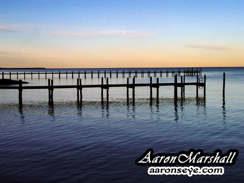
Deck View 4
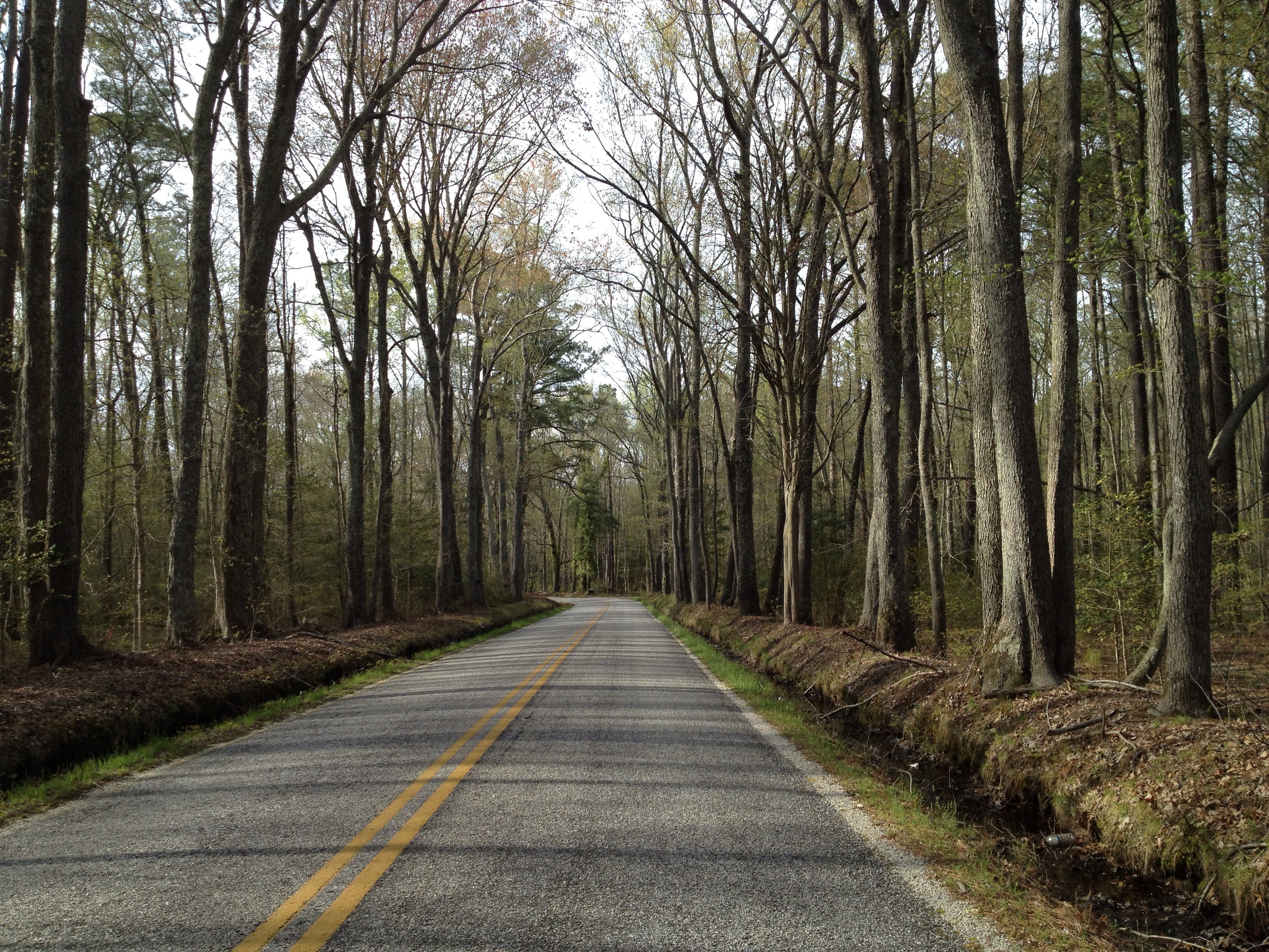
View from the Road to Towles Point, Lancaster County, VA
Sheltering Arms

View from Delano's Store

2014JEK0227089.jpg

Deck View 5

Deck View 1
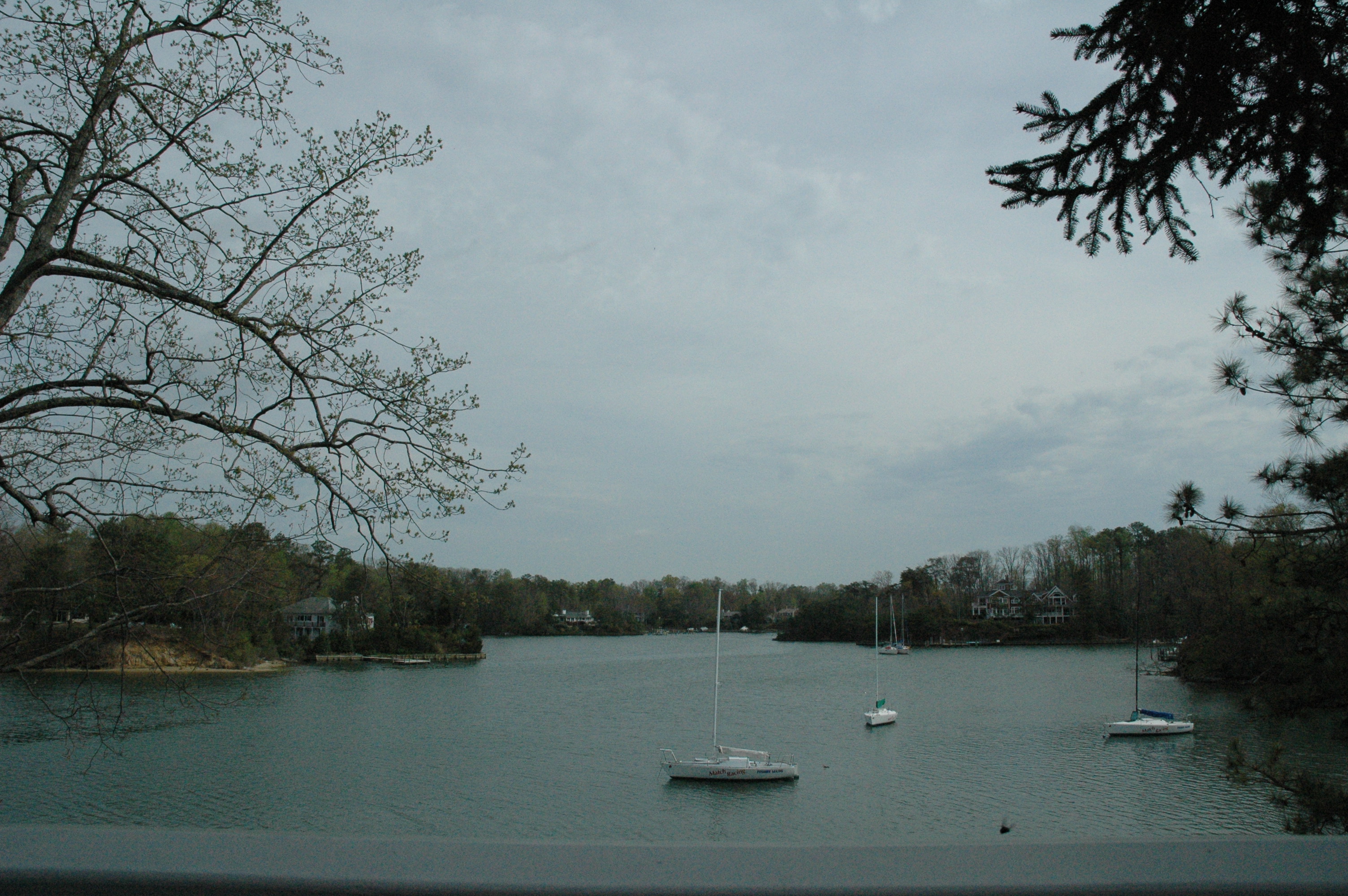
Norris Bridge

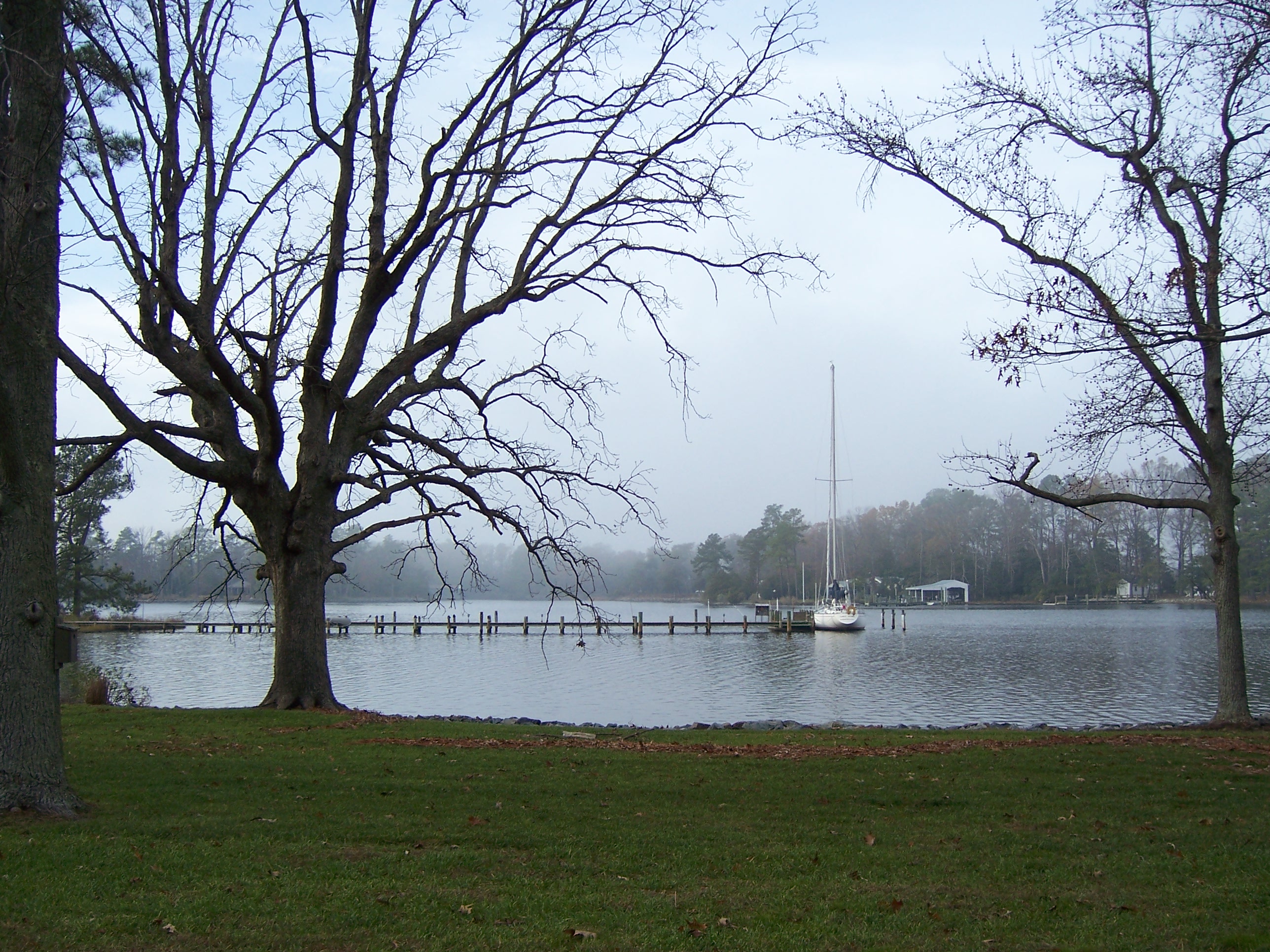
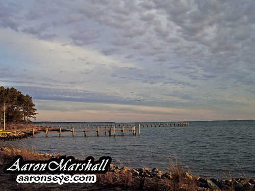
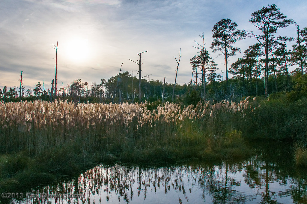
Camp Mill Pond
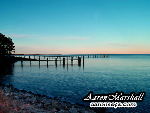
Special view of the Corrotoman River

bow view
Room View

Symmetrical Bedroom

Capturing Google Street View Panoramas at Christ Church

Deck View 3

Corrotoman River from the ladder
View down the Corrotoman

2014JEK0227123.jpg

Another View of the Place

Deck View 2
view of Antipoison Creek
Above The Fields

Locklies Creek, Topping Virginia 7:20 p.m. 6/10/16
DSC03177 w
DSC03185 w
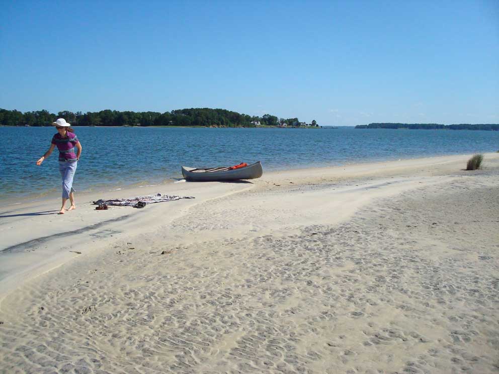
#1151 - Shoreline
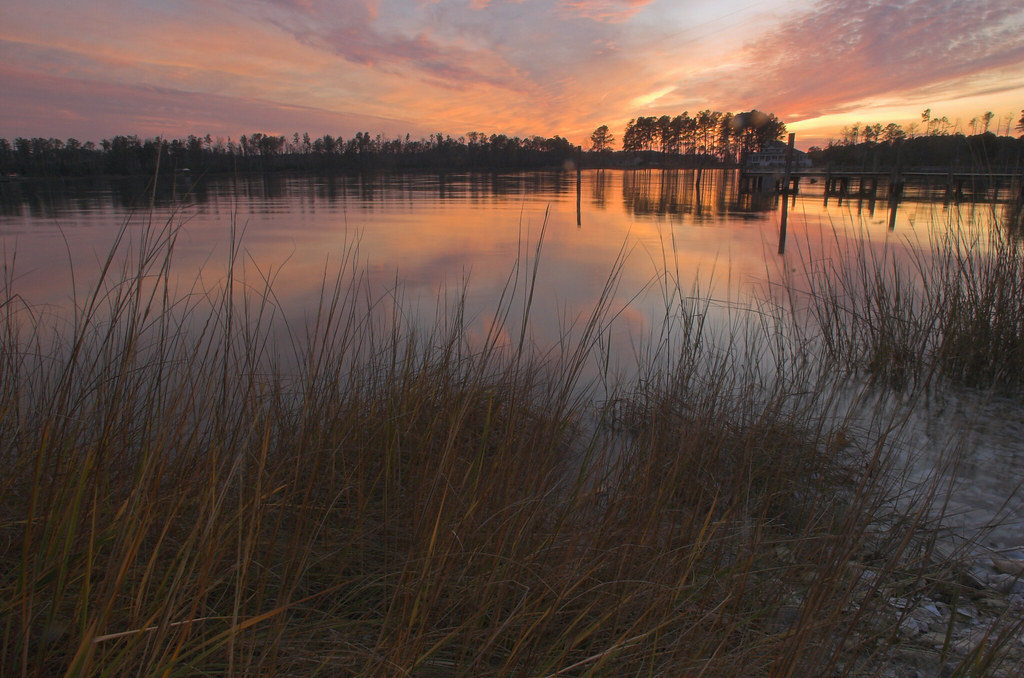
The Sun Sets

Dock & Cloud-Virginia
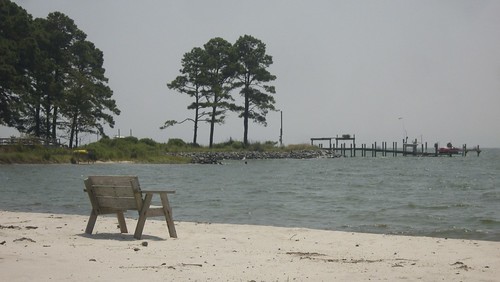
Lonely bench

Marston Engagement Shoot
DSC03170tweaksmooth1DPP w
Lancaster County Virginia...a few shots from today's ride...
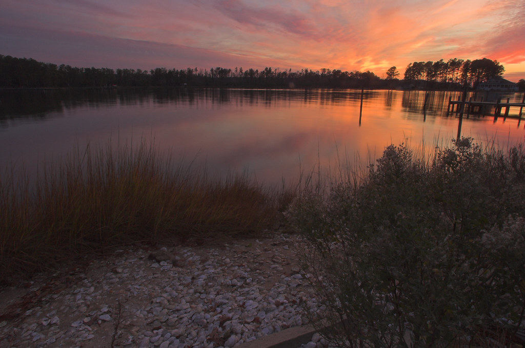
At Dusk

Up a Lazy River
Late Afternoon @ Hughlett Point Natural Area Preserve, Northumberland County, VA
#8532 - white_house_sunset
#8544 - white_house_sunset

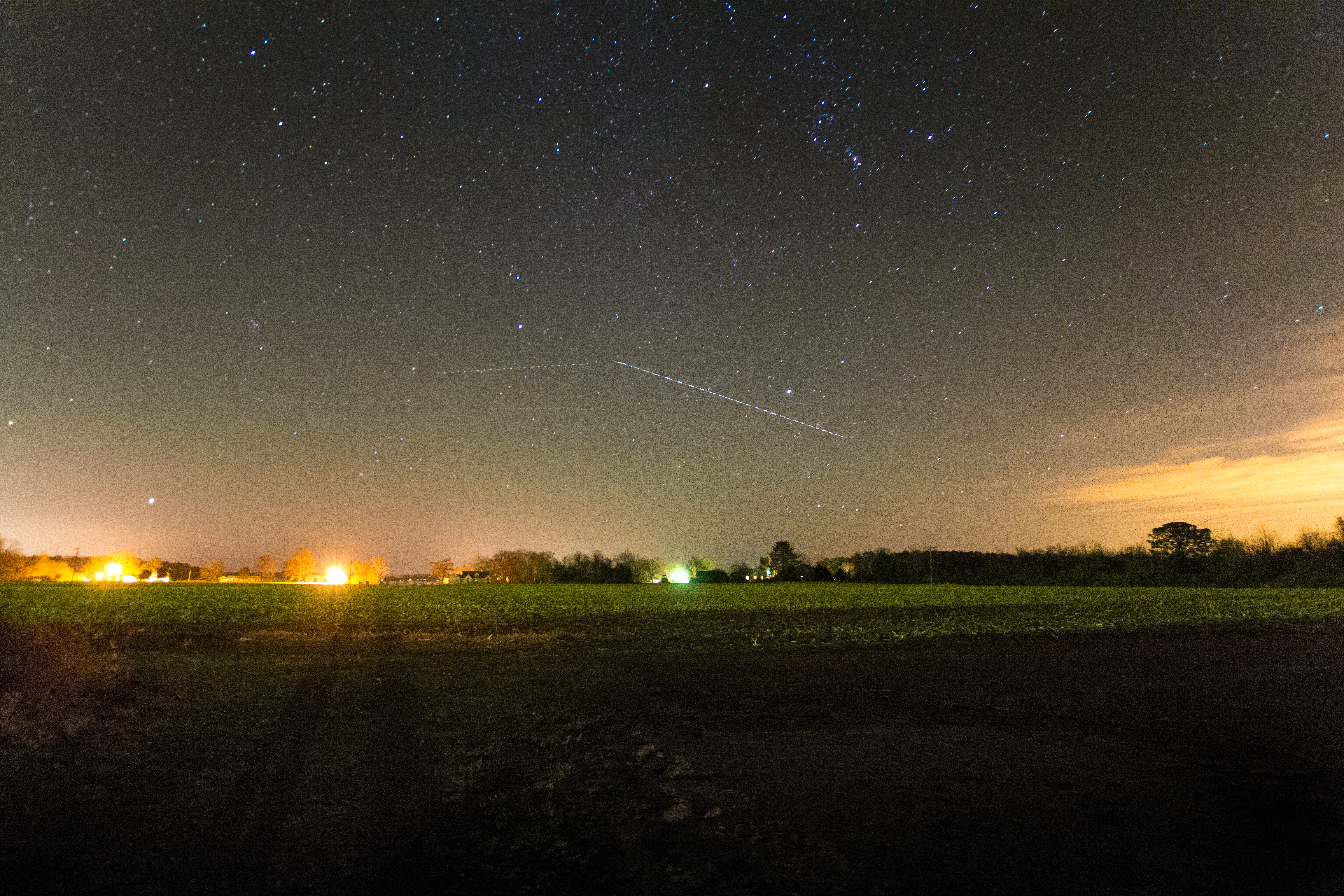
#0476-8 - Groundfog (HDR / Lofi)

Lazy Afternoon

#8975 - greenvale-creek-frozen
Topographic Map of 34 Primerose Path, Lancaster, VA, USA
Find elevation by address:

Places near 34 Primerose Path, Lancaster, VA, USA:
4690 Black Stump Rd
Merry Point Rd, Lancaster, VA, USA
4424 Merry Point Rd
911 Merry Point Rd
1681 Ottoman Ferry Rd
1681 Ottoman Ferry Rd
1681 Ottoman Ferry Rd
1681 Ottoman Ferry Rd
121 Colony Ln
Cove Colony Rd, Lancaster, VA, USA
Lancaster
Mary Ball Rd, Lancaster, VA, USA
Lancaster County
2, VA, USA
61 Emlaw Ln, Lancaster, VA, USA
4, VA, USA
33 Reynolds Landing
Weems
222 Mad Calf Ln
222 Mad Calf Ln
Recent Searches:
- Elevation of Jadagoniai, Kaunas District Municipality, Lithuania
- Elevation of Pagonija rock, Kranto 7-oji g. 8"N, Kaunas, Lithuania
- Elevation of Co Rd 87, Jamestown, CO, USA
- Elevation of Tenjo, Cundinamarca, Colombia
- Elevation of Côte-des-Neiges, Montreal, QC H4A 3J6, Canada
- Elevation of Bobcat Dr, Helena, MT, USA
- Elevation of Zu den Ihlowbergen, Althüttendorf, Germany
- Elevation of Badaber, Peshawar, Khyber Pakhtunkhwa, Pakistan
- Elevation of SE Heron Loop, Lincoln City, OR, USA
- Elevation of Slanický ostrov, 01 Námestovo, Slovakia