Elevation of 2 Rivers Rd, Manteca, CA, USA

Location: United States > California > San Joaquin County > Manteca >

Longitude: -121.22615

Latitude: 37.697947

Elevation: 11m / 36feet

Barometric Pressure: 101KPa

Elevation Map:

elevation map of 2 Rivers Rd, Manteca, CA, USA

Satellite Map:

Satellite map of 2 Rivers Rd, Manteca, CA, USA

Related Photos:

beckwithroadwildlifeviewingarea bird birds kinglet rubycrownedkinglet sanjoaquinnationalwildliferefuge reguluscalendula
Ruby-crowned Kinglet
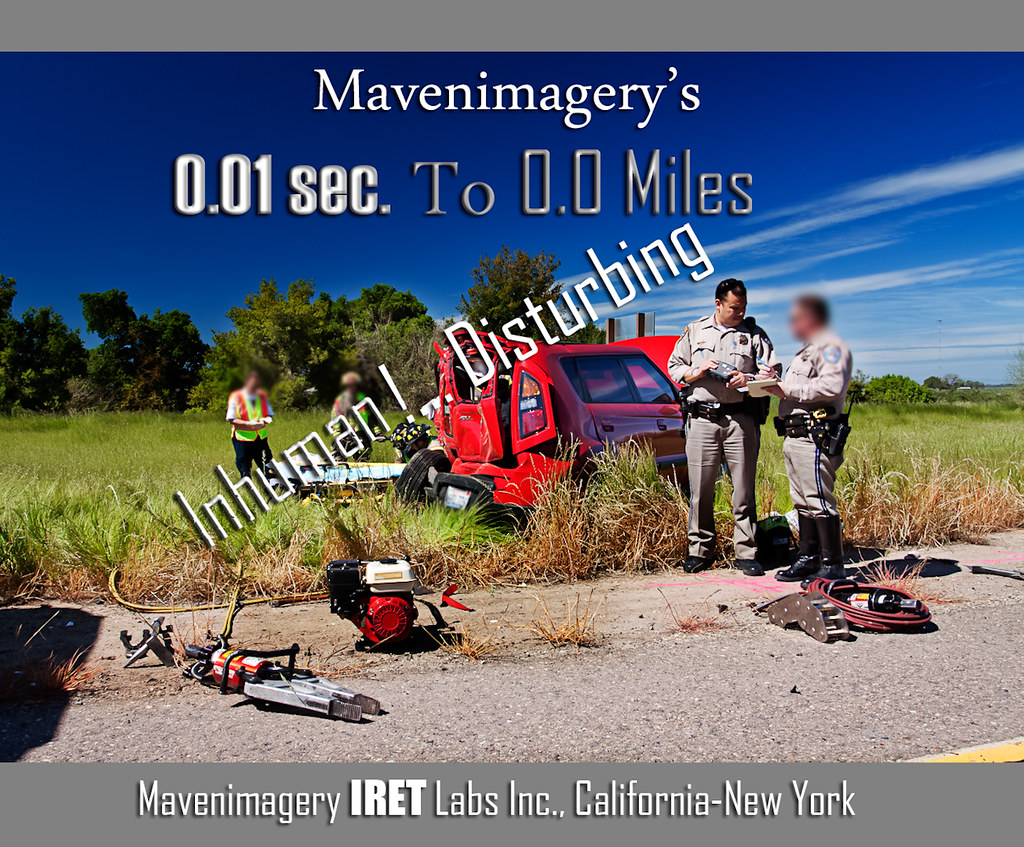
FROM THE "ROAD NOTES OF MAVEN": 0.01 To 0.0 Miles
california usa chp dodgecharger ripon californiahighwaypatrol policemotorcycle sanjoaquincounty riponmenloparkemergencyvehicleshow2010
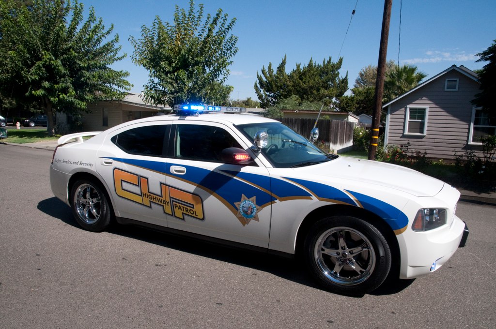
California Highway Patrol Dodge Charger Side View Code 3
click on albums above for desired genera, species and sets are in alphabetical order, if you experience an advertisement click forward or back
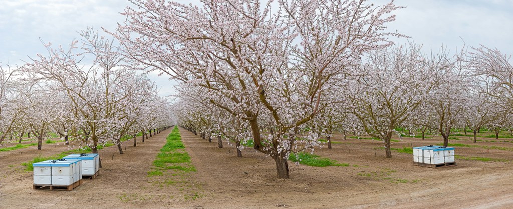
panorama northerncalifornia landscape spring blossoms perfectpanoramas sdosremedios size1x2 almondbloom gigapan ©stevendosremedios
Almond Orchard
beckwithroadwildlifeviewingarea bird birds bushtit sanjoaquinrivernationalwildlifearea psaltriparusminimus
Bushtit (m)
color art photoshop colourartaward tauras101
round view
california solyo usa unitedstates vernalis geo:lat=3758783133 geo:lon=12129786333 geotagged peaceonearthorg aerial
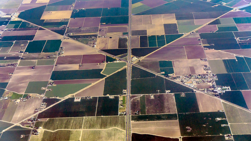
Aerial View of Interstate 5 Near Tracy, CA
panorama landscape vineyard 360 napa mustard hdr highdynamicrange vr equirectangular sdosremedios ©stevendosremedios size1x3
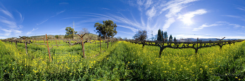
Mustard in the Vineyards
Tub View
california usa policecar ripon fordcrownvictoria sanjoaquincounty contracostacountysheriffsdepartment cccdsd riponmenloparkemergencyvehicleshow2011
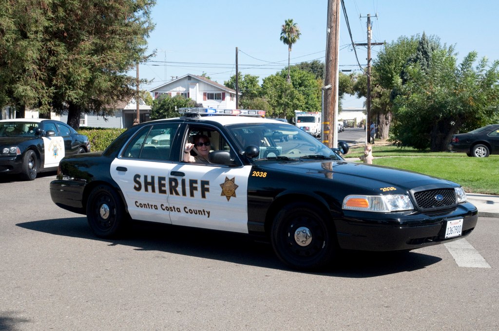
Contra Costa Sheriff Ford Crown Victoria Code 3 Parade Side View Turn
california usa policecar chp ripon californiahighwaypatrol sanjoaquincounty 1982amceagle riponmenloparkemergencyvehicleshow2011
CHP 1982 AMC Eagle Code 3 Parade Back View
california people art chicken wall cow photo artwork mural publicart manteca odt ourdailytopic artinpublicview
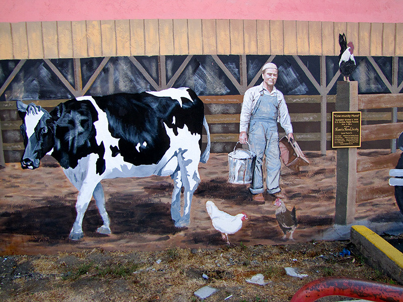
photo - Manteca, CA Mural 5-2
california usa truck parkranger ripon powerwagon sanjoaquincounty californiadepartmentofparksandrecreation riponmenloparkemergencyvehicleshow2011
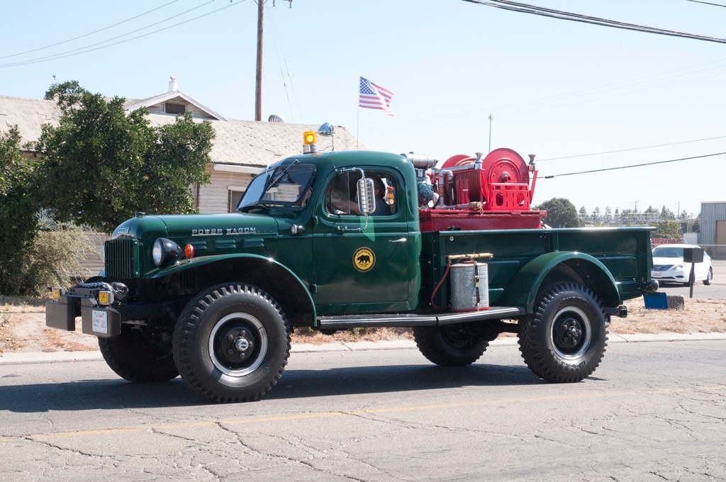
California Parks 1962 Dodge Power Wagon Code 3 Parade Side View
california people horse art chicken wall barn children photo artwork mural publicart manteca artinpublicview
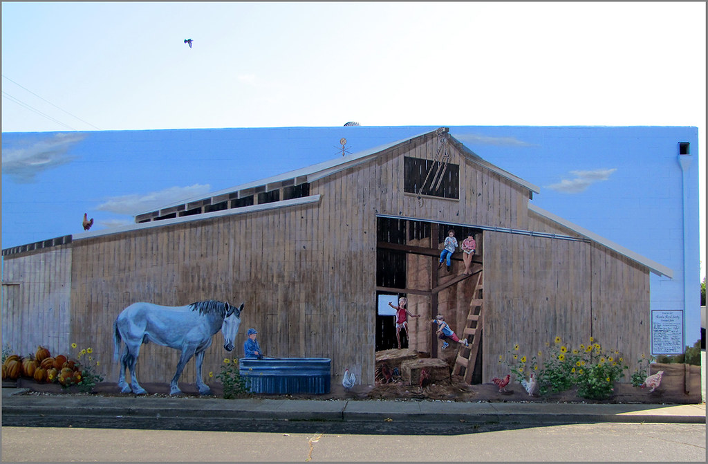
photo - Manteca, CA Mural 4-1
sanfrancisco california art wall photo artwork mural picture publicart manteca artinpublicview
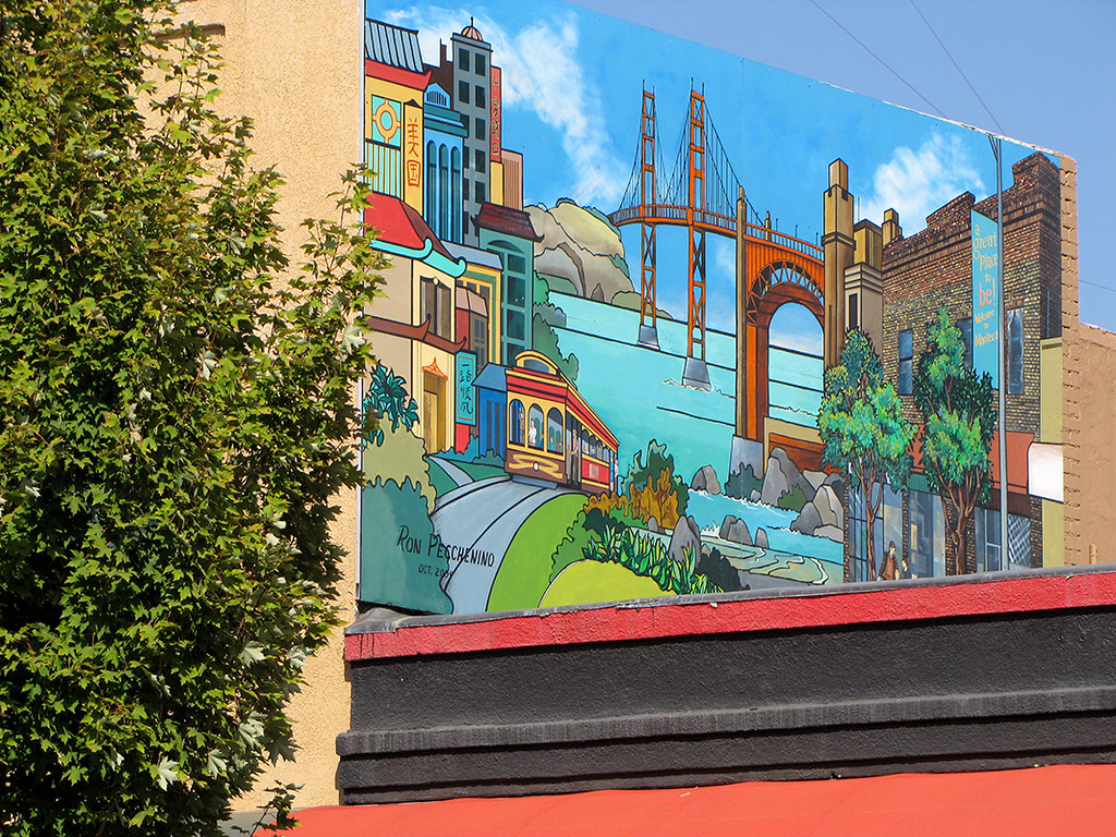
photo - Manteca, CA Mural 2
shadow macro bug insect horsefly tokina100mmf28atxprod tokina100mmf28 nikond5100
Horse Fly
california people horse building art wall cow photo artwork mural picture publicart manteca artinpublicview
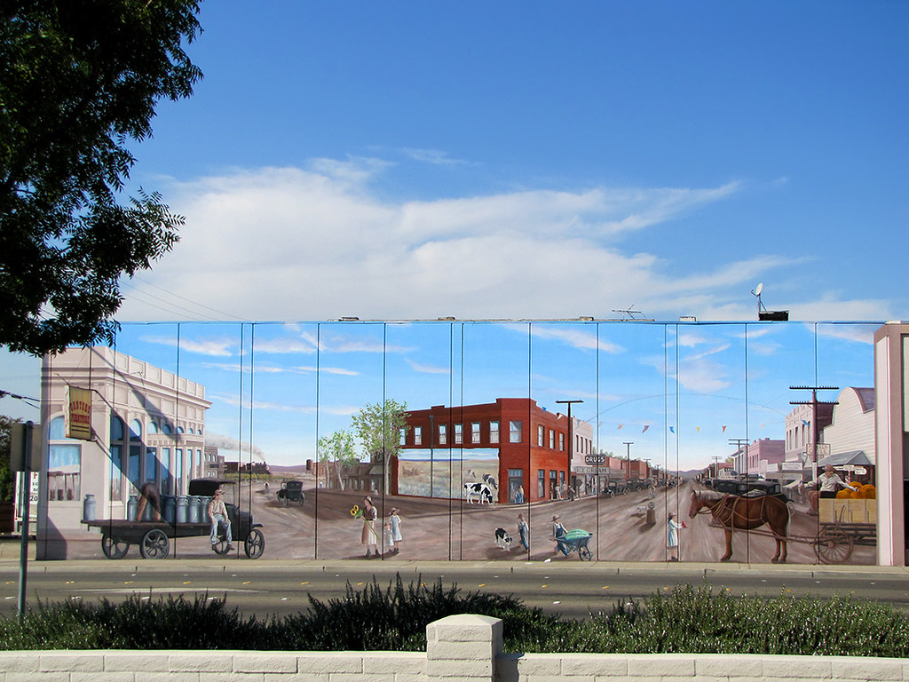
photo - Manteca, CA Mural 1
california usa policecar ripon chevycaprice sanjoaquincounty riponmenloparkemergencyvehicleshow2011
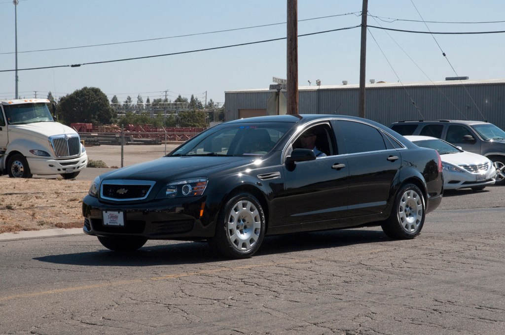
Chevy Police Caprice 2011 Code 3 Parade Front View
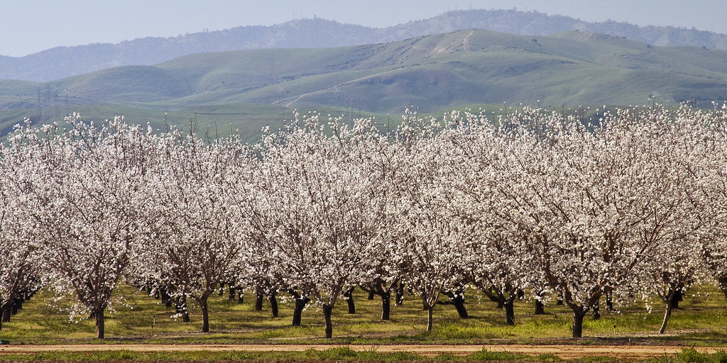
california tree northerncalifornia landscape blossom farm almond orchard bloom patterson sfchronicle sdosremedios 96hrs size1x2 ©stevendosremedios wiredeye
Almond Bloom
california usa homelandsecurity policecar fps ripon sanjoaquincounty chevytahoe federalprotectiveservice riponmenloparkemergencyvehicleshow2011
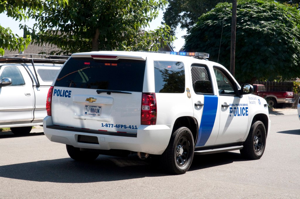
DHS Chevy Tahoe Code 3 Parade Back View
eyetwistkevinballuff eyetwist pipes eir film analog colorinfrared aerochrome mamiya 6mf 50mm kodak color infrared ir ishootfilm e6 slide mamiya6mf mamiya50mmf4l kodakaerochromecolorinfraredeir ektachrome ishootkodak analogue mamiya6 square 6x6 120 primes filmexif iconla epsonv750pro mediumformat medium format false red 099 infracolor filter lenstagger magenta blue landscape lathrop california stockton field grass pipe conduit concrete abandoned clouds sky lonely empty bleak orange minimalist construction horizon geometric round
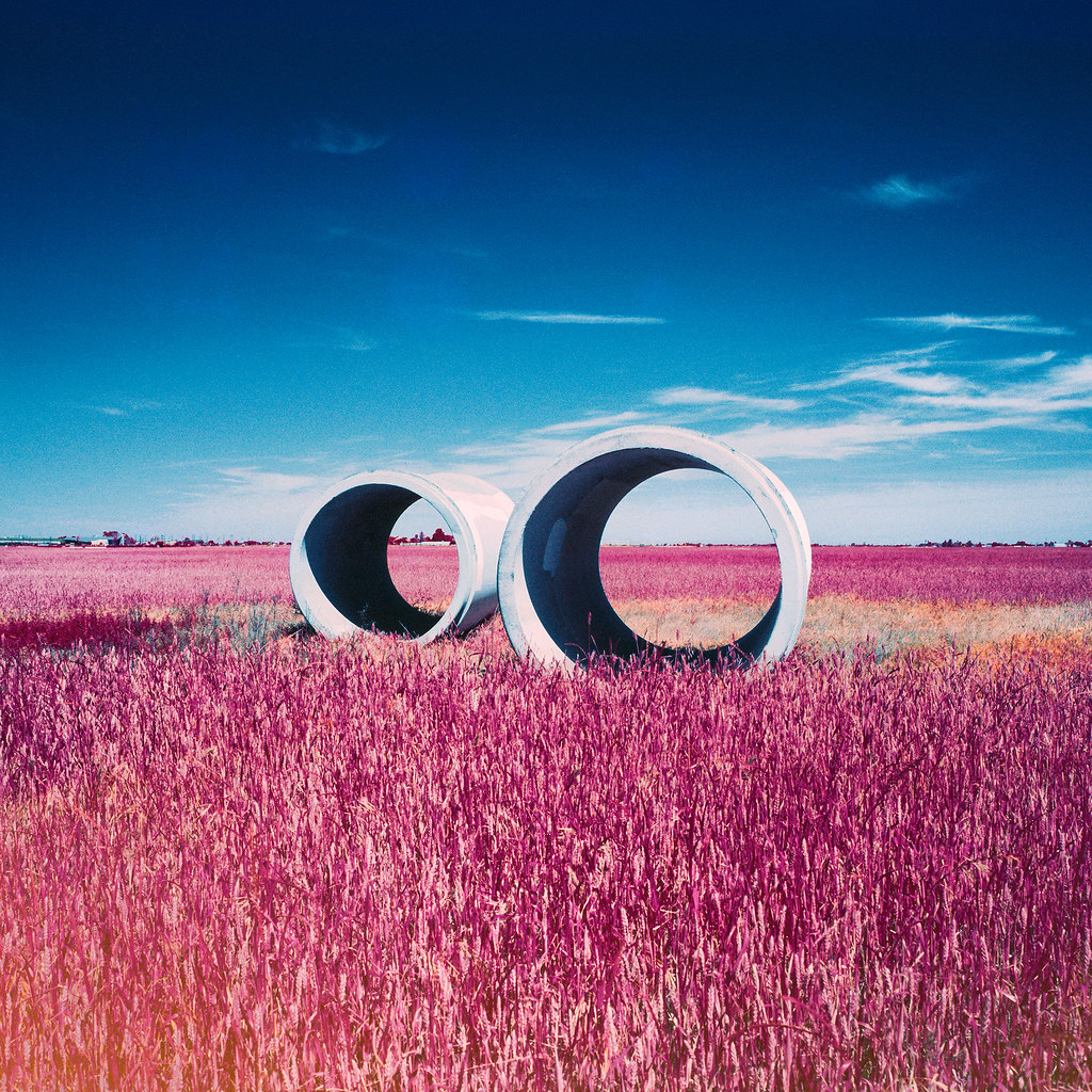
pipes (color infrared). lathrop, ca. 2016.
cameraphone california summer monochrome buildings landscape i5 dry monotone dustbowl drought agriculture iphone interstate5 mobilephotography iphoneography hipstamatic diegolens uchitel20film
I-5 Drylands
eyetwistkevinballuff eyetwist film analog colorinfrared aerochrome eir mamiya 6mf 50mm kodak color infrared ir ishootfilm e6 slide mamiya6mf mamiya50mmf4l kodakaerochromecolorinfraredeir ektachrome ishootkodak analogue mamiya6 square 6x6 120 primes filmexif iconla epsonv750pro mediumformat medium format false red 099 infracolor filter lenstagger magenta blue landscape lathrop california stockton field grass pipe conduit concrete abandoned clouds sky lonely empty bleak minimalist horizon geometric round
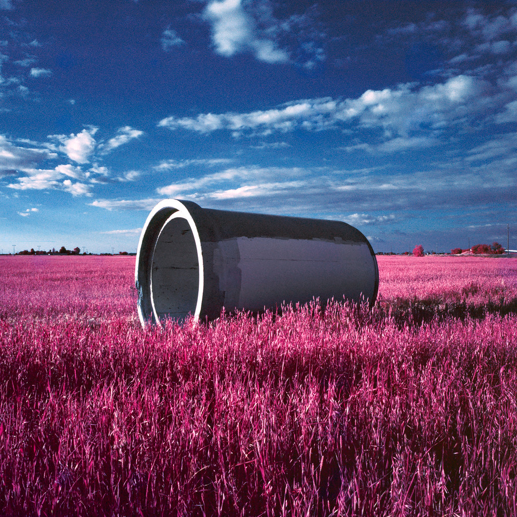
pipe (color infrared). lathrop, ca. 2016.
Westley Rest Area (I-5)
california shadow terrain field northerncalifornia landscape geotagged shadows july hills telephoto valley land agriculture distance centralvalley 2007 sanjoaquinvalley hillscape stanislauscounty michaelpatrick july2007 stanislauscountycalifornia address:continent=northamerica address:country=unitedstatesofamerica address:state=california iyouitnotprocessed geo:lat=3765227 geo:lon=12126112
hills of western Stanislaus County, July 1, 2007
cliff mountain bird animal wings mural flight taxidermy vulture manteca bassproshops outdoorworld fliying
Vulture Gulch
square squareformat normal iphoneography instagramapp uploaded:by=instagram foursquare:venue=4cfa1bedc671721e7e71bb18
Inspired by @robertogreco ... @rogre #shadows #iphoneography #igrs
winter windmill fog foggymorning sanjoaquincounty pentaxk10d jan12008 pentaxart tracycalif copyrightricharddbeebe centralvalleycalif ©richarddbeebe2012 ©richardbeebe2013
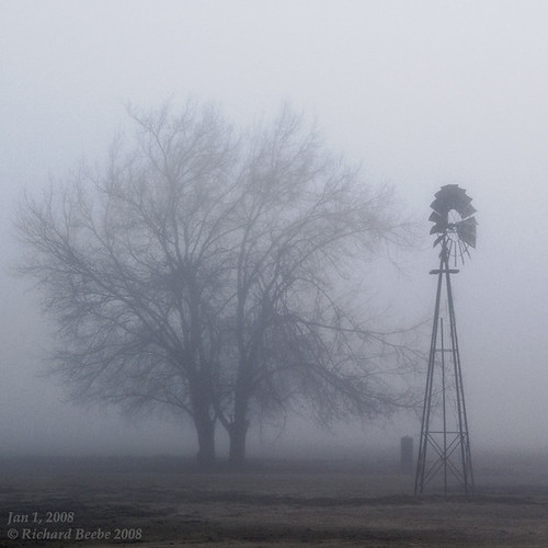
RB_01-01-08_057sq_windmill
california railroad train daylight pacific railway trains steam sp locomotive trainengine steamengine sanjoaquin southernpacific p10 streamliner lathrop passengertrain espee 462 sanjoaquindaylight
SP San Joaquin Daylight
california shadow terrain field northerncalifornia landscape geotagged shadows july hills telephoto sprinkler valley land agriculture distance irrigation sprinklers centralvalley 2007 sanjoaquinvalley hillscape irrigate stanislauscounty michaelpatrick sanjoaquincounty july2007 irrigating stanislauscountycalifornia address:continent=northamerica address:country=unitedstatesofamerica address:state=california sanjoaquincountycalifornia iyouitnotprocessed geo:lat=3765229 geo:lon=12126109
hills of southern San Joaquin County, July 1, 2007
roadtrip iphone iphoneography snapseed
On The Way Home no. 2
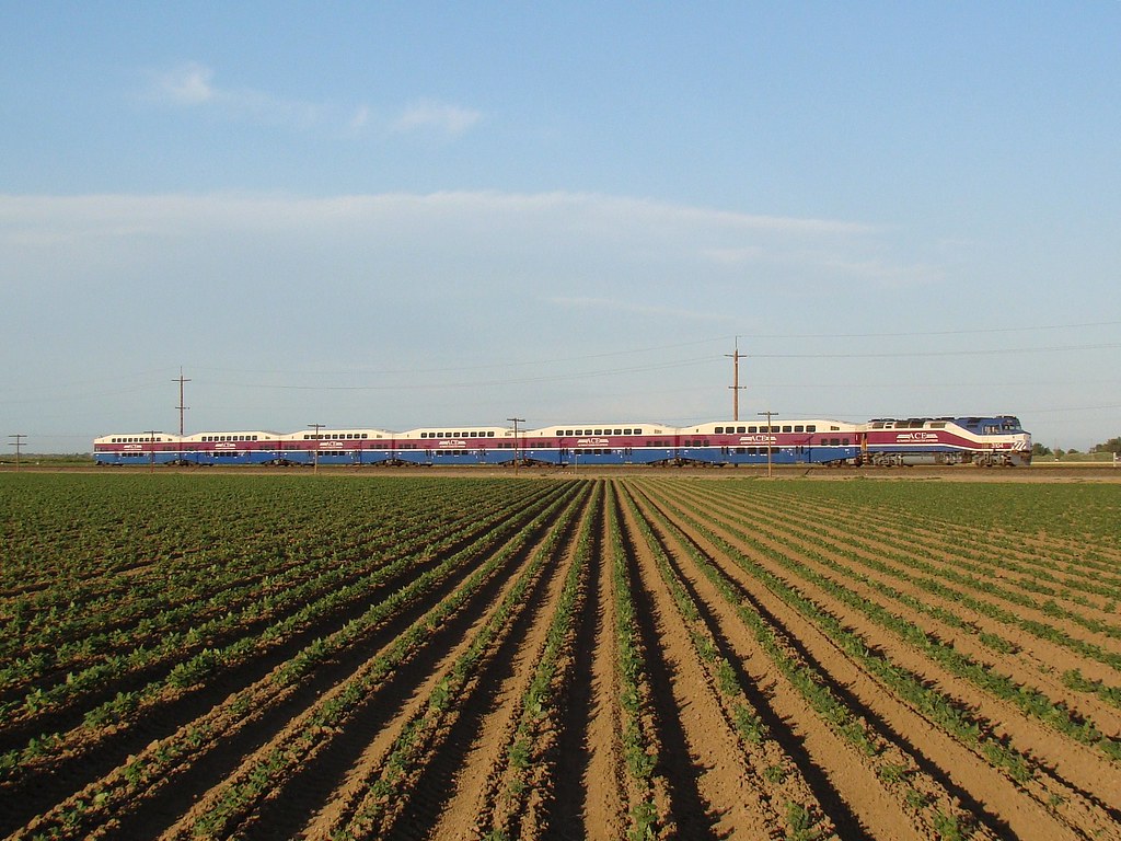
california train ace tracy locomotive mpi altamontcommuterexpress f40phc3
ACE 8
square squareformat iphoneography instagramapp xproii uploaded:by=instagram foursquare:venue=4f490811e4b0db1b35a81eaa
Modesto Barn
iphone airme
Mar 23, 2009
stanislauscounty diablorange mountoso sanjoaquinnationalwildliferefuge
hill house
california pink light sunset cloud sun sunlight foothills yellow clouds gold vines day sundown hills end streaks vinyard vinyards
Vineyard Sunset
blue sky green fence i5 hills
Driving down 5 to Disneyland, 4-8-2012
Lathrop, CA